The Hillside Adventure
A gravel cycling route starting from La Clayette
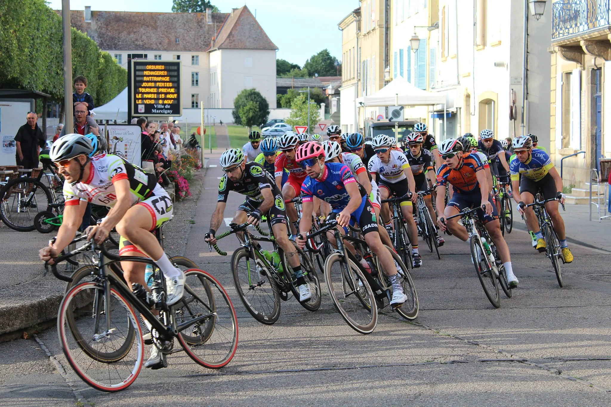
Embark on an epic gravel bike adventure with stunning hillside views
Map
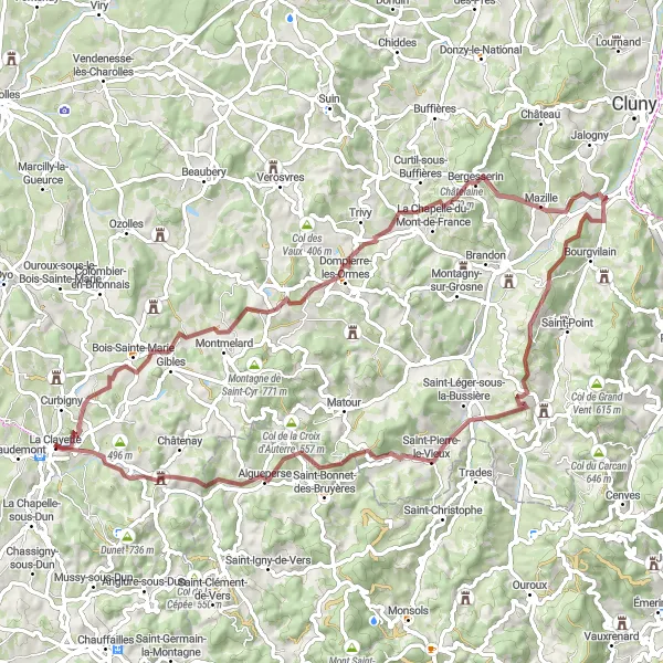
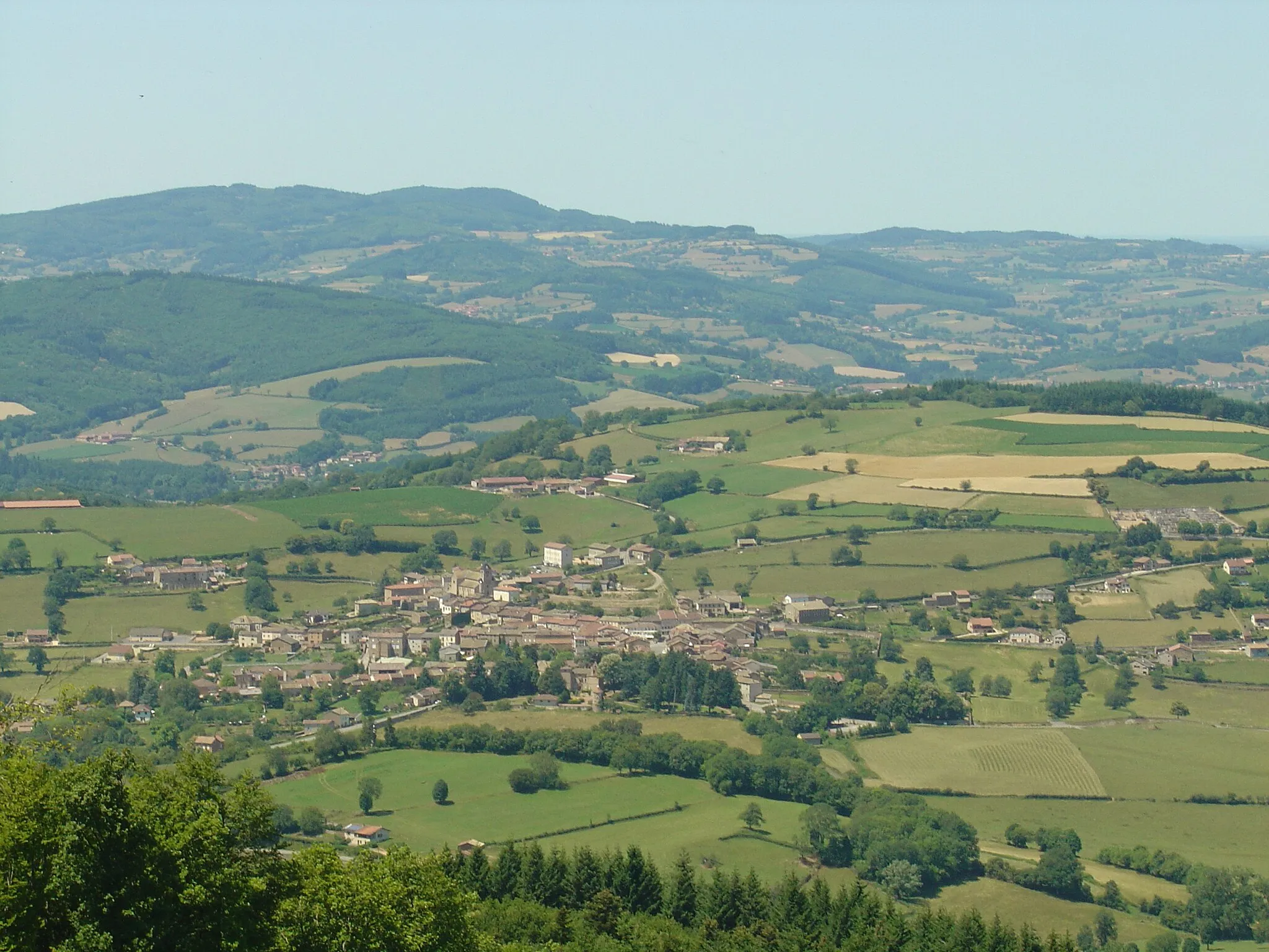
Embark on this epic circular route through the beautiful hillside scenery near La Clayette. The route is 77km long with a total ascent of 1588m. It is a gravel bike route suitable for experienced riders. The highlights along the route include Le Bois des Ayes, a dense forest area with unique flora and fauna, Châtelaine, a traditional hamlet with well-preserved houses, and Aigueperse, a charming village with beautiful architecture. The difficulty of this route is rated as 4/5, making it suitable for experienced and physically fit amateurs. The overall epicness of this route is rated as 4/5, due to the challenging climbs and the breathtaking hillside views.
gravel
77 km
1588 m
Tough
Route profile
Highlights on the route
0 km
0 km
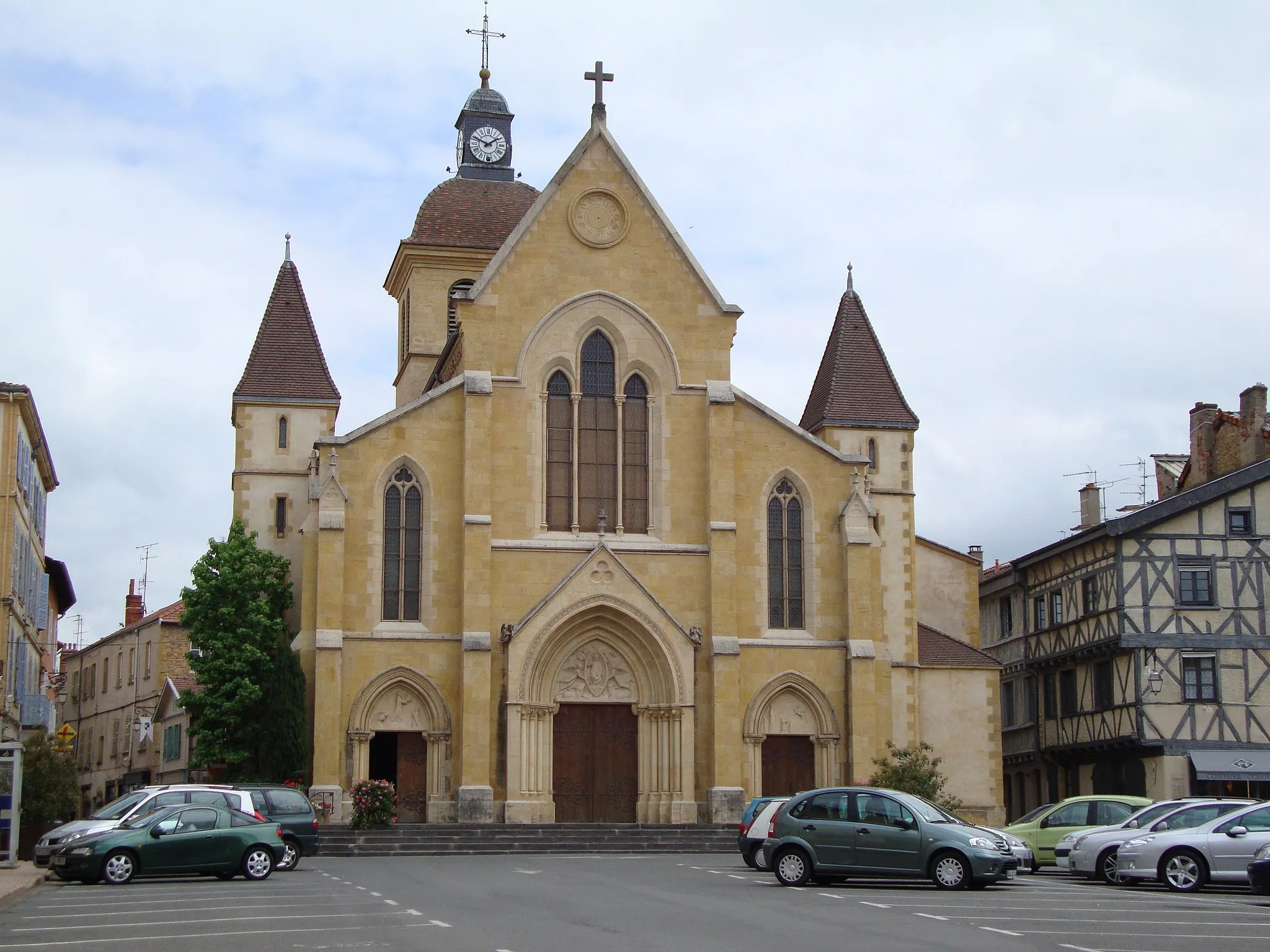
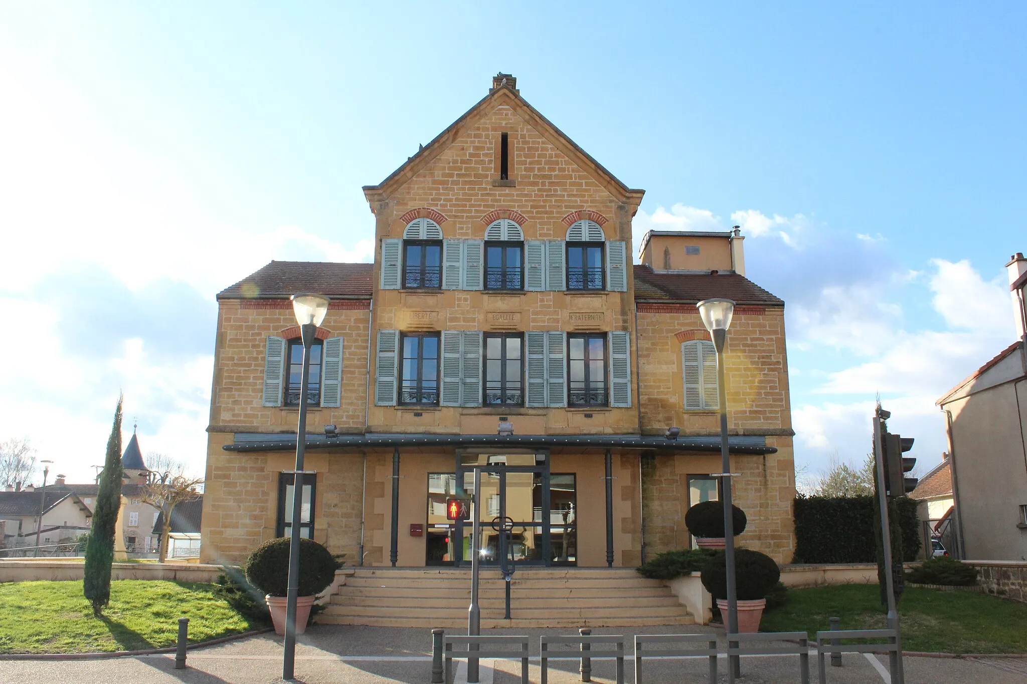
Start: La Clayette Village centerLa Clayette: Legendary climb and scenic countryside in La Clayette, France.
La Clayette is a town located in the Bourgogne region of France. It offers a variety of cycling routes suitable for road and gravel cyclists. The area is known for its rolling hills and picturesque countryside, offering scenic views along the way. One of the well-known cycling spots near La Clayette is Roc de Solutré, a legendary climb that attracts cyclists from around the world. Overall, La Clayette is a great destination for cyclists looking for challenging climbs and beautiful scenery.0 km
0 km
La ClayetteVillageLa Clayette: Begin your epic journey in this beautiful town known for its medieval castle.
14 km
14 km
Le Bois des Ayes568 mPeakLe Bois des Ayes: Ride through this enchanting forest and experience its tranquil beauty.
28 km
28 km
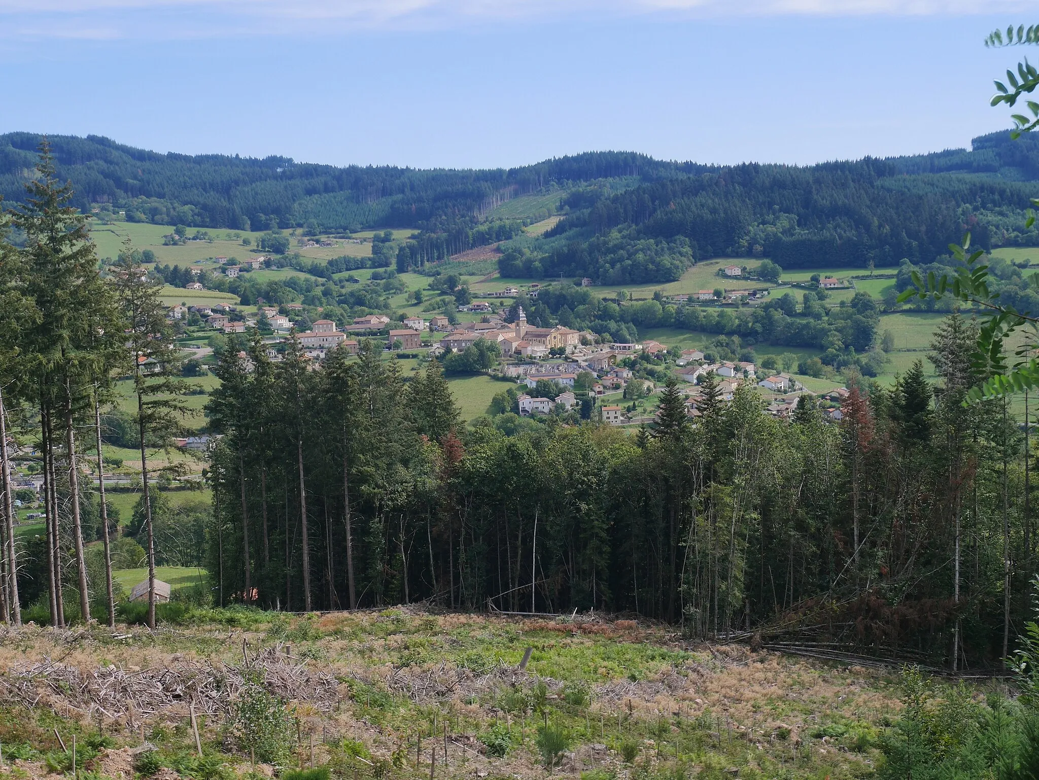
Châtelaine579 mPeakChâtelaine: Explore this charming hamlet with its well-preserved traditional houses and peaceful atmosphere.
29 km
29 km
BergesserinVillageBergesserin: Admire the stunning views from this hillside village and learn about its rich history.
49 km
49 km
Vannas574 mPeakVannas: Discover the idyllic rural setting of this small village and its picturesque surroundings.
50 km
50 km
TramayesVillageTramayes: Visit this charming village nestled amidst scenic hills and meandering country roads.
62 km
62 km
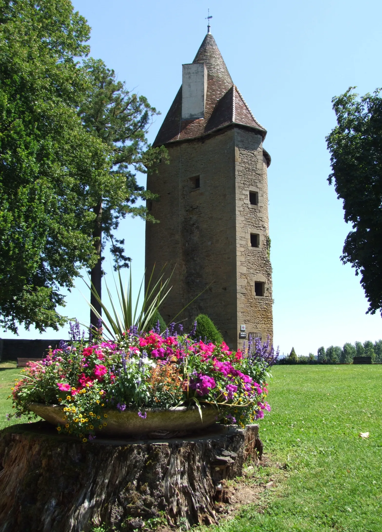
La Grande Roche669 mPeakLa Grande Roche: Enjoy the breathtaking panoramic views from the top of this prominent rock formation.
65 km
65 km
AigueperseVillageAigueperse: Explore the quaint streets and beautiful architecture of this picturesque village.
75 km
75 km
Varennes-sous-DunVillageVarennes-sous-Dun: Conclude your adventure in this medieval village and its impressive castle ruins.
77 km
77 km
Finish: La Clayette Village centerLa Clayette: Legendary climb and scenic countryside in La Clayette, France.
Cycling routes from La Clayette:
Dunet and Saint-Laurent-en-Brionnais Loop The Hillside Adventure La Clayette Loop Bourgogne's Hidden Gems Scenic Exploration of Southern Bourgogne The Ayes Adventure Embracing the Beauty of Bourgogne Countryside Gravel Adventure in Bourgogne Exploring the Rolling Hills of Southern Burgundy Les Collines de La Clayette
Cycling routes nearby: