Lacour-d'Arcenay Cycling Route
A road cycling route starting from Saulieu
A scenic road cycling route with picturesque views of Lacour-d'Arcenay
Map
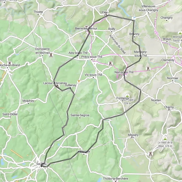
This road cycling route near Saulieu offers stunning views of Lacour-d'Arcenay and includes highlights such as Brianny, Nan-sous-Thil, Mont Rond, and Saulieu. With a total ascent of 579 meters over a distance of 57 kilometers, this route is suitable for well-trained amateur cyclists. The route provides a great opportunity to explore the Bourgogne region of France.
road
57 km
579 m
Tough
Route profile
Highlights on the route
0 km
0 km
Start: Saulieu Village centerSaulieu: Culinary Delights and Rural Cycling in Saulieu
Saulieu is a commune located in the Bourgogne region of France. For road and gravel cyclists, Saulieu offers a mix of routes through rolling hills and rural countryside. The roads are well-maintained and provide a pleasant riding experience. Saulieu itself is a charming town with a rich culinary heritage, known for its traditional Burgundian cuisine and restaurants. The locality is surrounded by beautiful natural parks, such as the Morvan Regional Natural Park, which offers scenic routes and picturesque landscapes. While Saulieu does not have any famous cycling climbs, the region attracts cyclists due to its peaceful atmosphere and natural beauty. If you're looking to experience traditional Burgundian culture while enjoying scenic rides, Saulieu is worth considering.13 km
13 km
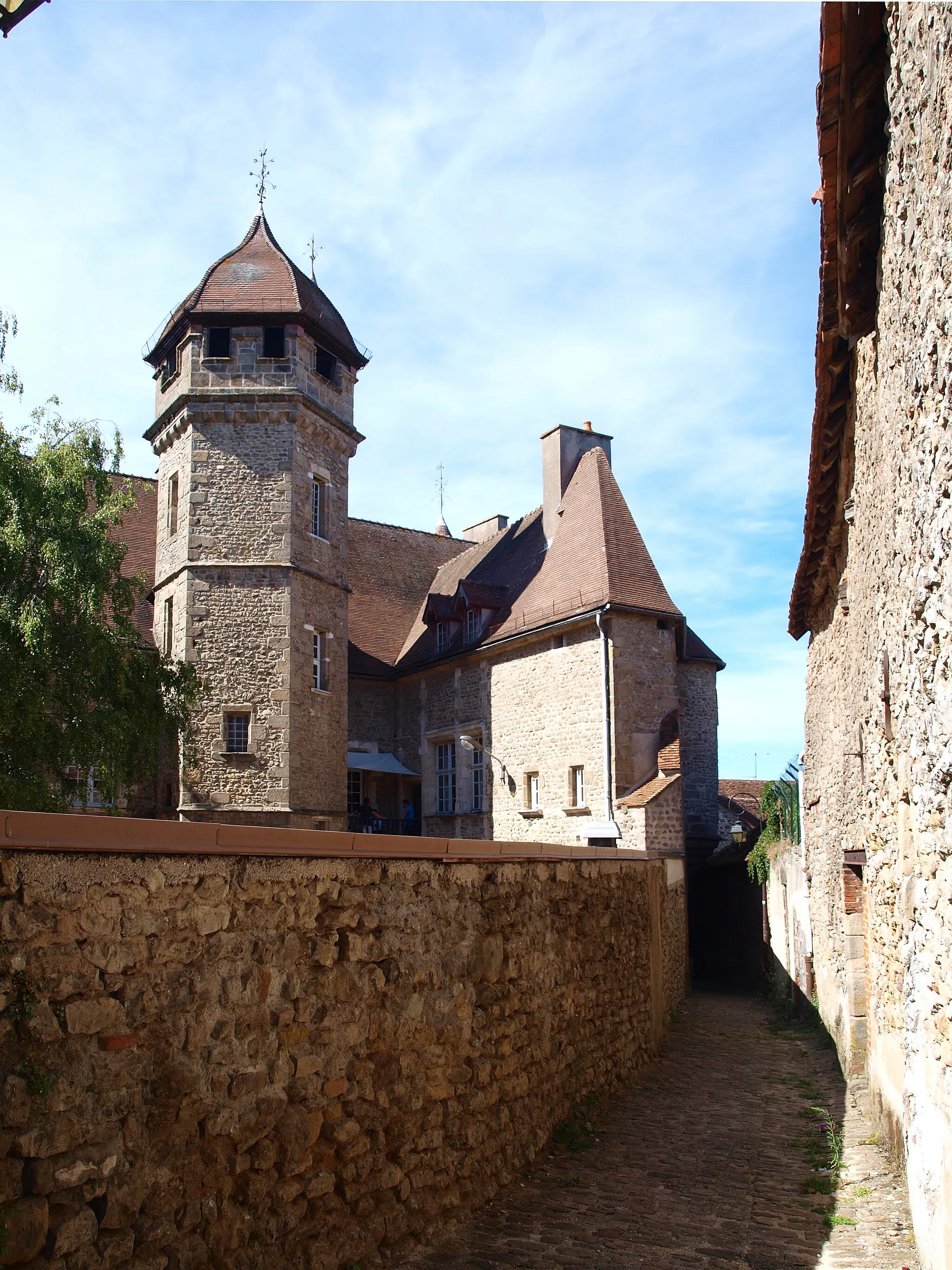
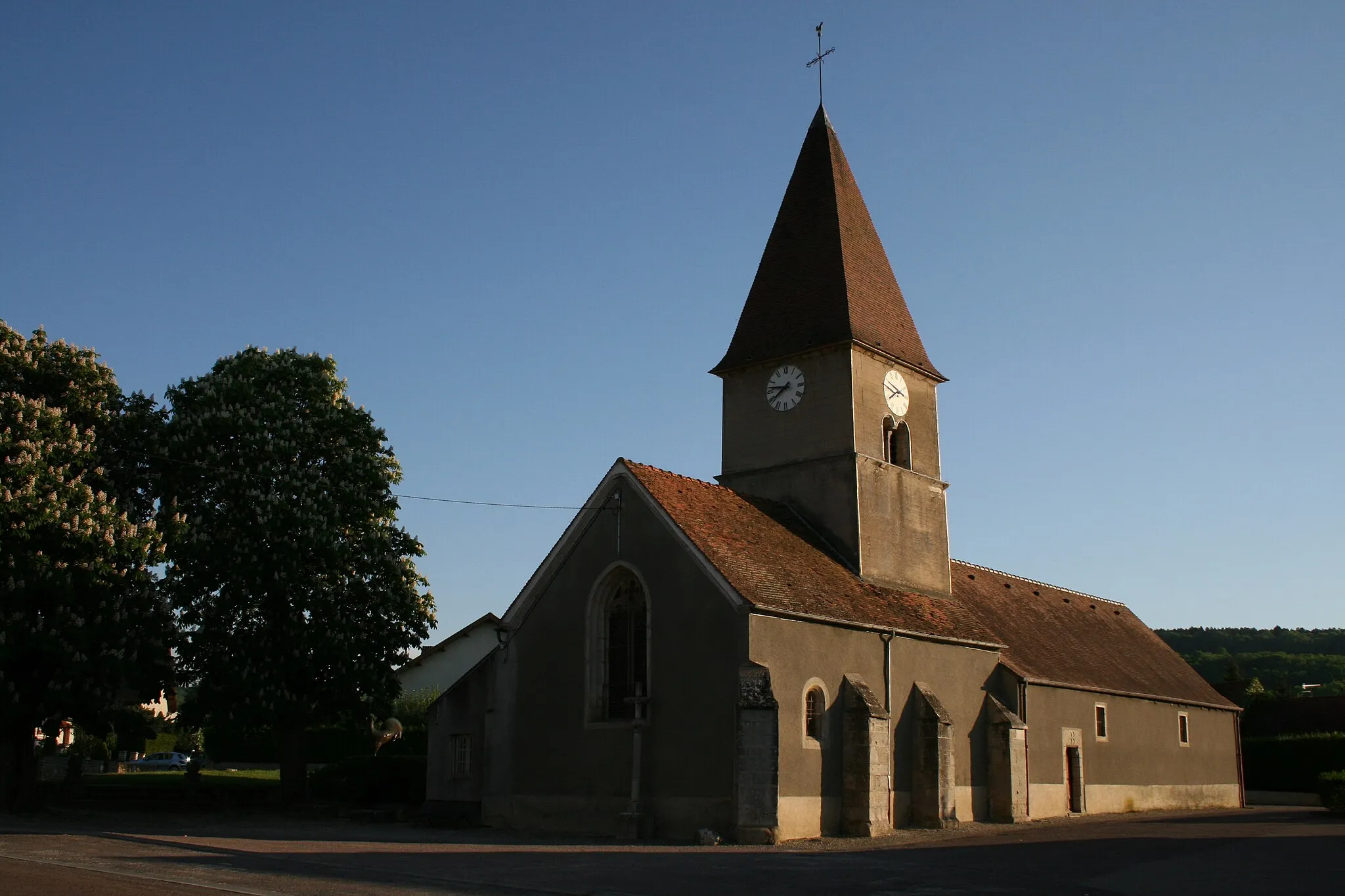
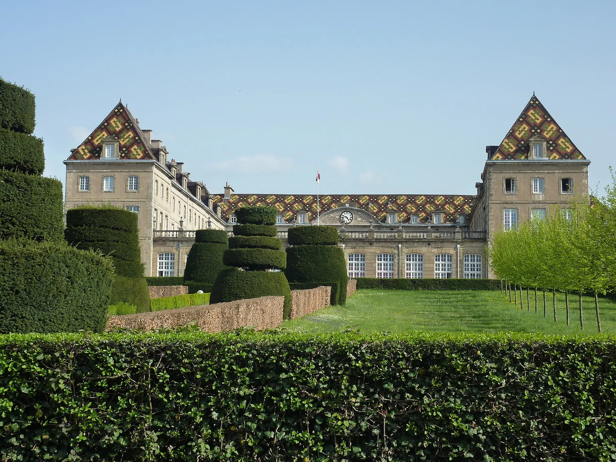
Lacour-d'ArcenayVillageLocated at a distance of 13 kilometers on the route, Lacour-d'Arcenay is known for its charming scenery and tranquil environment.
30 km
30 km
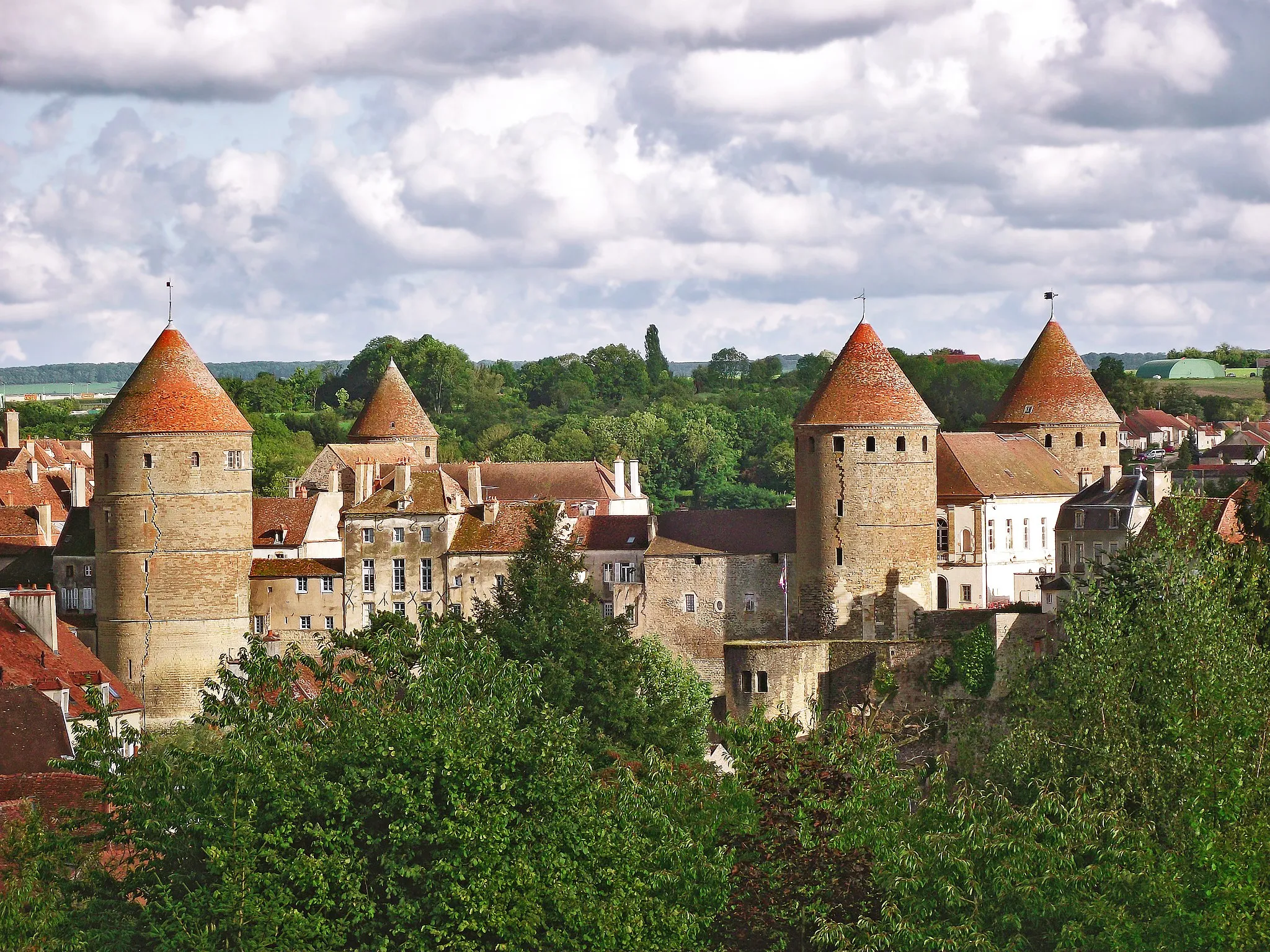
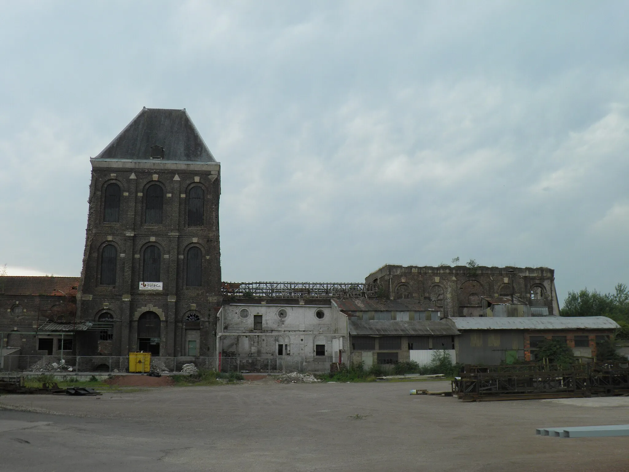
BriannyVillageBrianny is a quaint village located 30 kilometers along the route, offering a peaceful atmosphere and beautiful architecture.
36 km
36 km
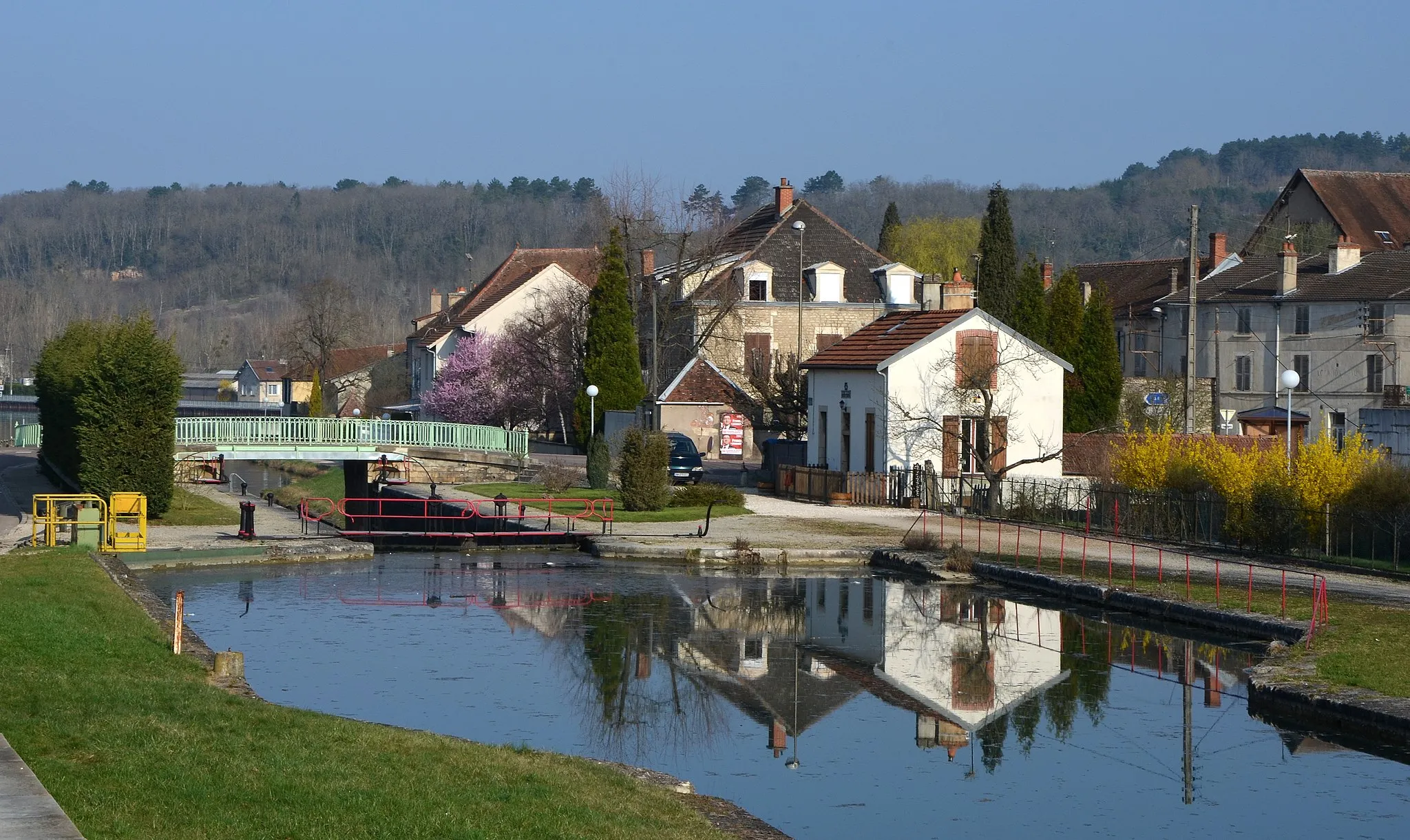
Nan-sous-ThilVillageNan-sous-Thil is a small town at a distance of 36 kilometers on the route, known for its historic buildings and traditional charm.
43 km
43 km
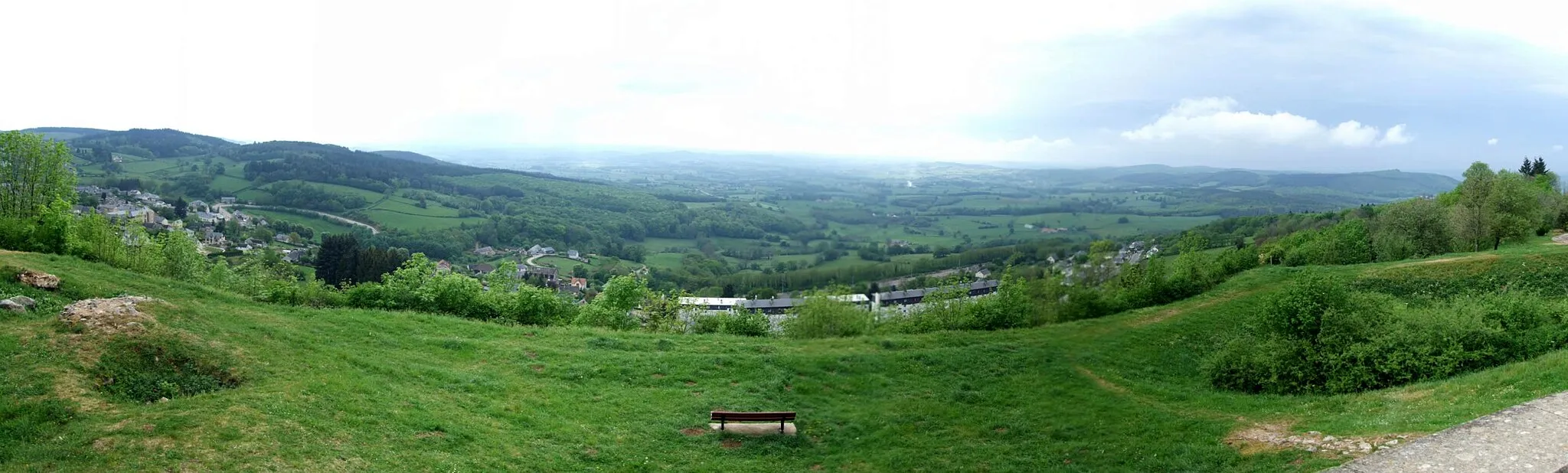
Mont Rond476 mPeakMont Rond, located at a distance of 43 kilometers, offers spectacular panoramic views of the surrounding countryside.
57 km
57 km
SaulieuVillageSaulieu, the end point of the route, is a renowned gastronomic destination with numerous Michelin-starred restaurants.
57 km
57 km
Finish: Saulieu Village centerSaulieu: Culinary Delights and Rural Cycling in Saulieu
Cycling routes from Saulieu:
Explore the Scenic Countryside Scenic Road Loop in Saulieu Countryside Morvan Mountain Challenge Gravel Adventure in Morvan Forest Scenic Road Cycling Route Epic Mountain Cycling Adventure Spectacular Peaks and Valleys Off-Road Adventure in Morvan Lacour-d'Arcenay Cycling Route Rolling Hills and Countryside Charm Morvan Gravel Adventure
Cycling routes nearby: