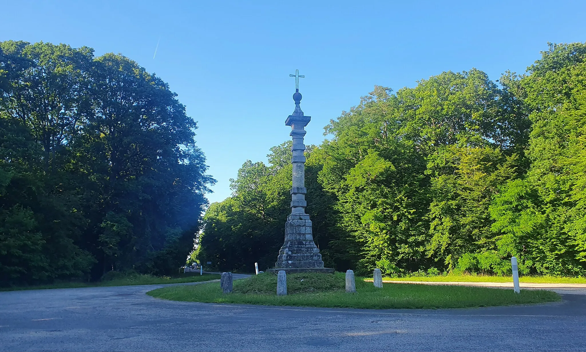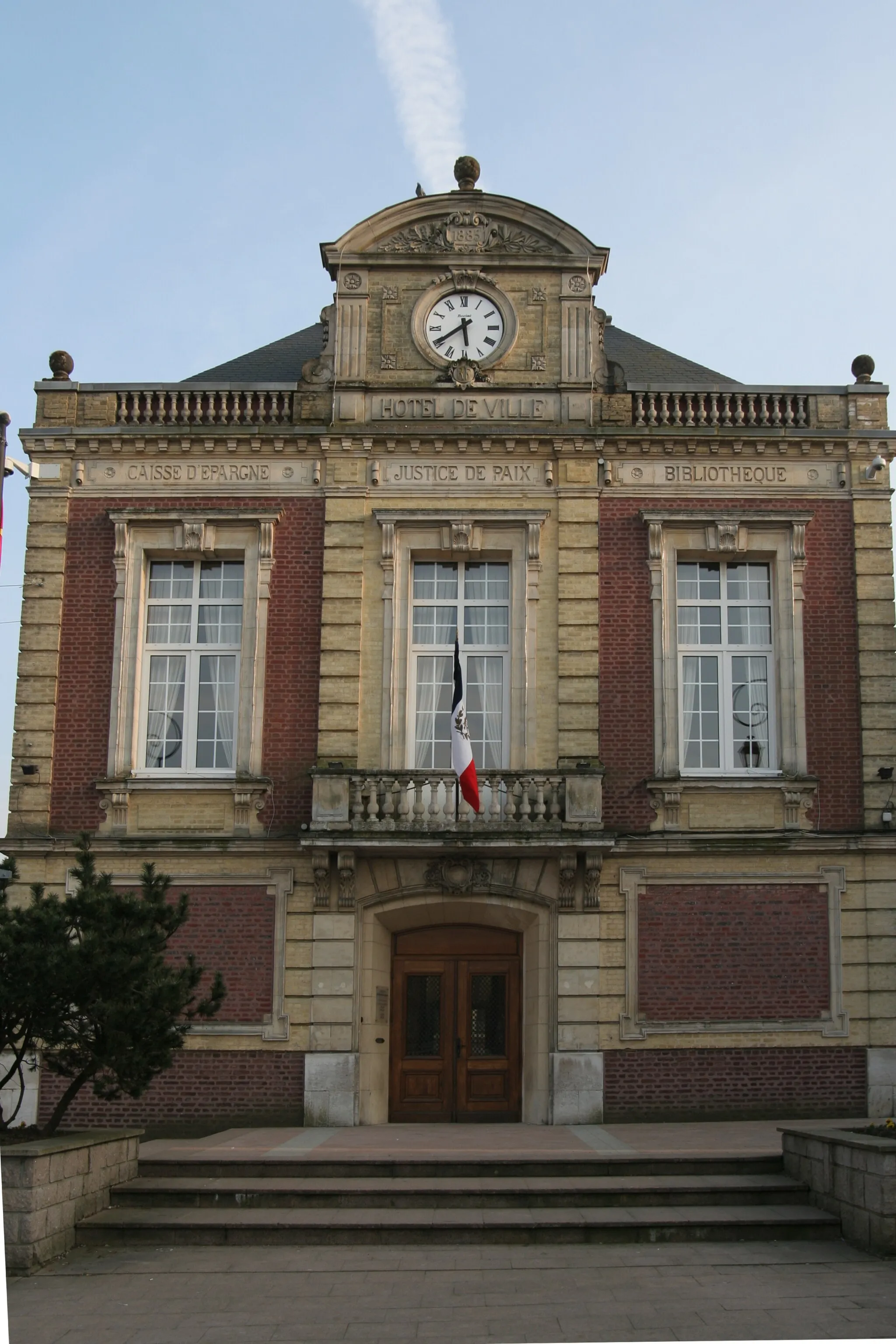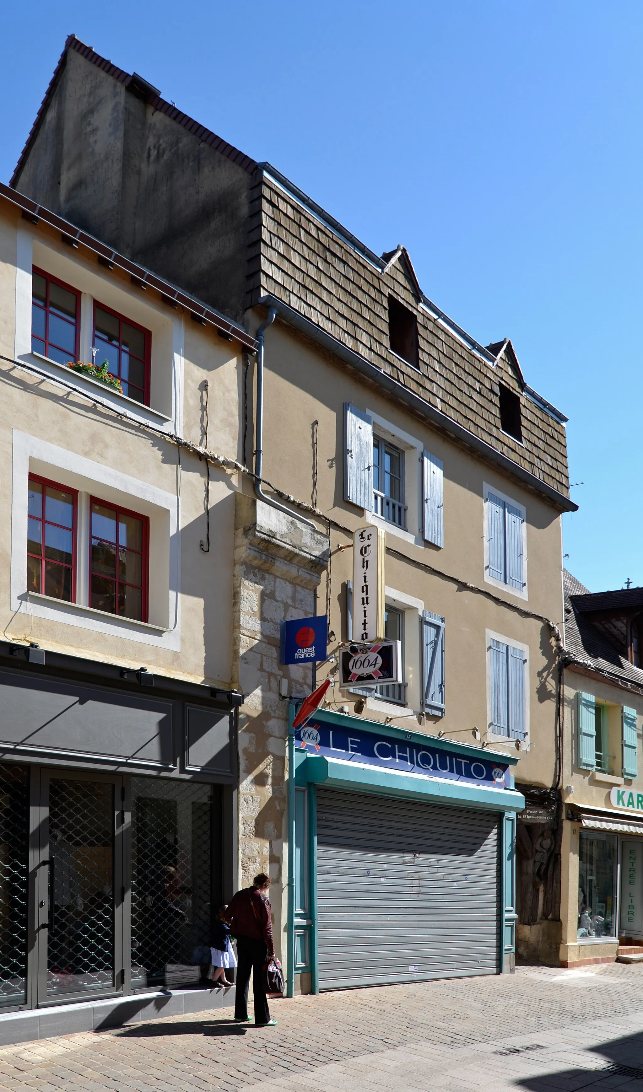
Where nature and history unite
Cycling routes from Cesson-Sevigne
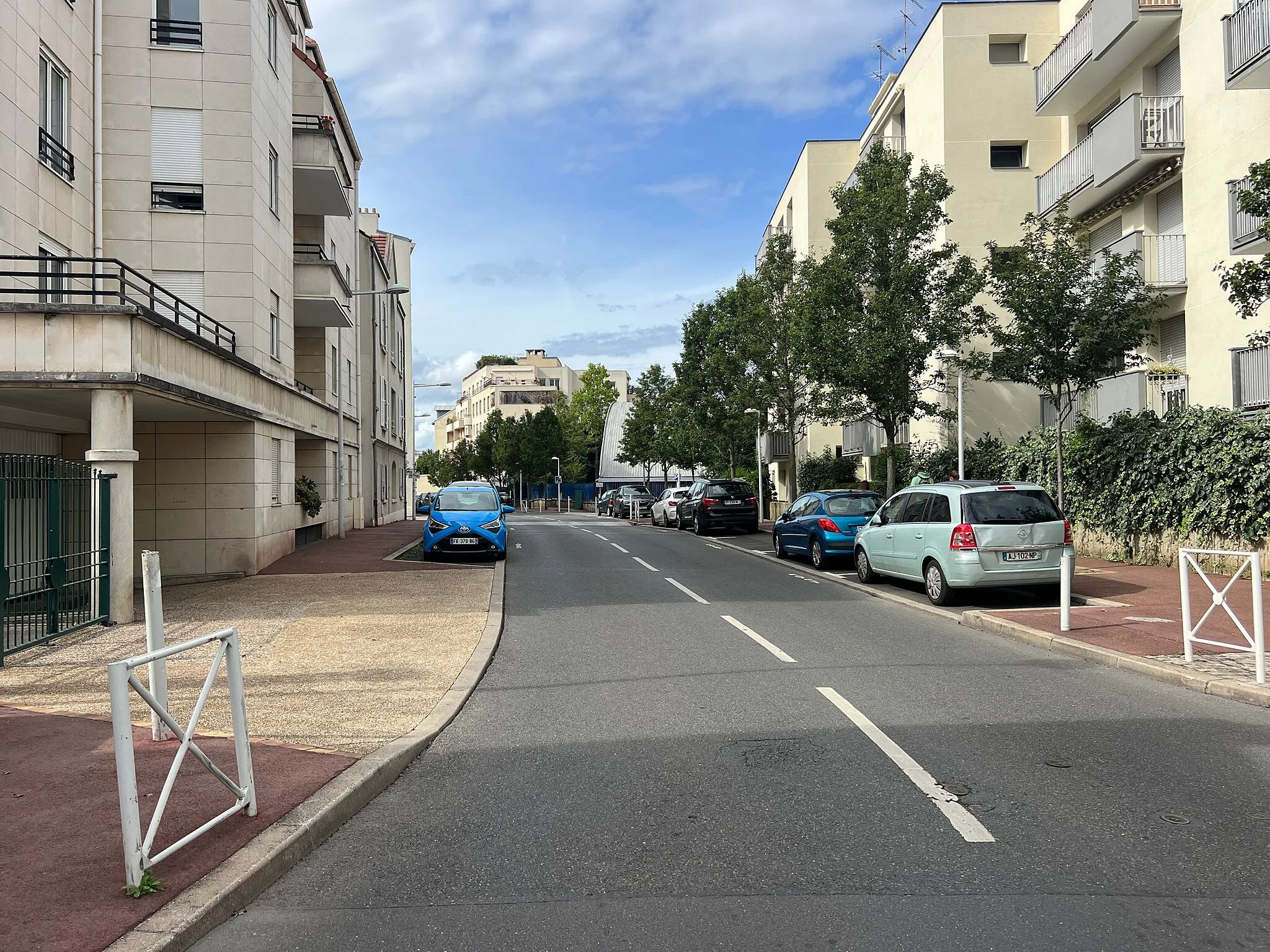
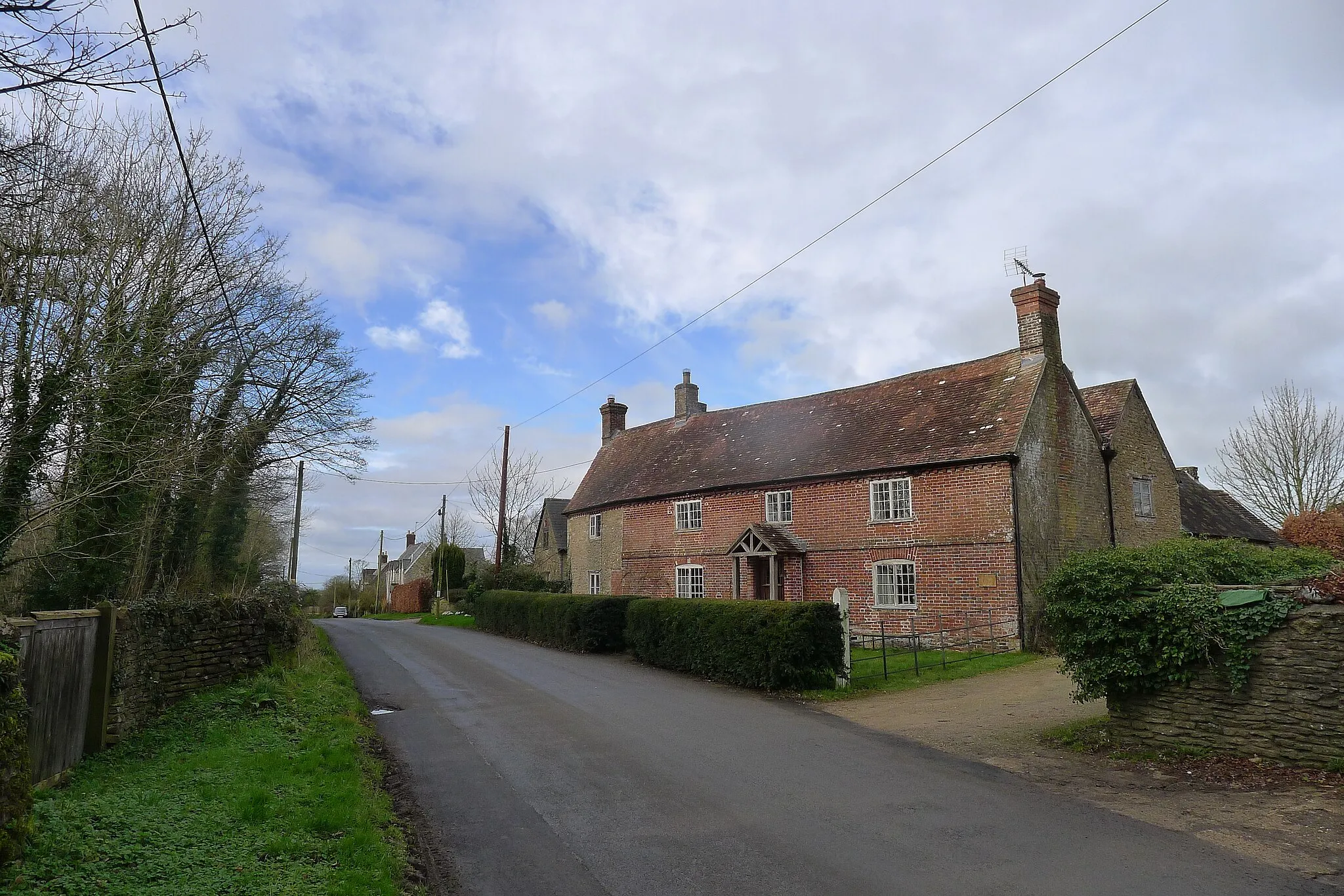
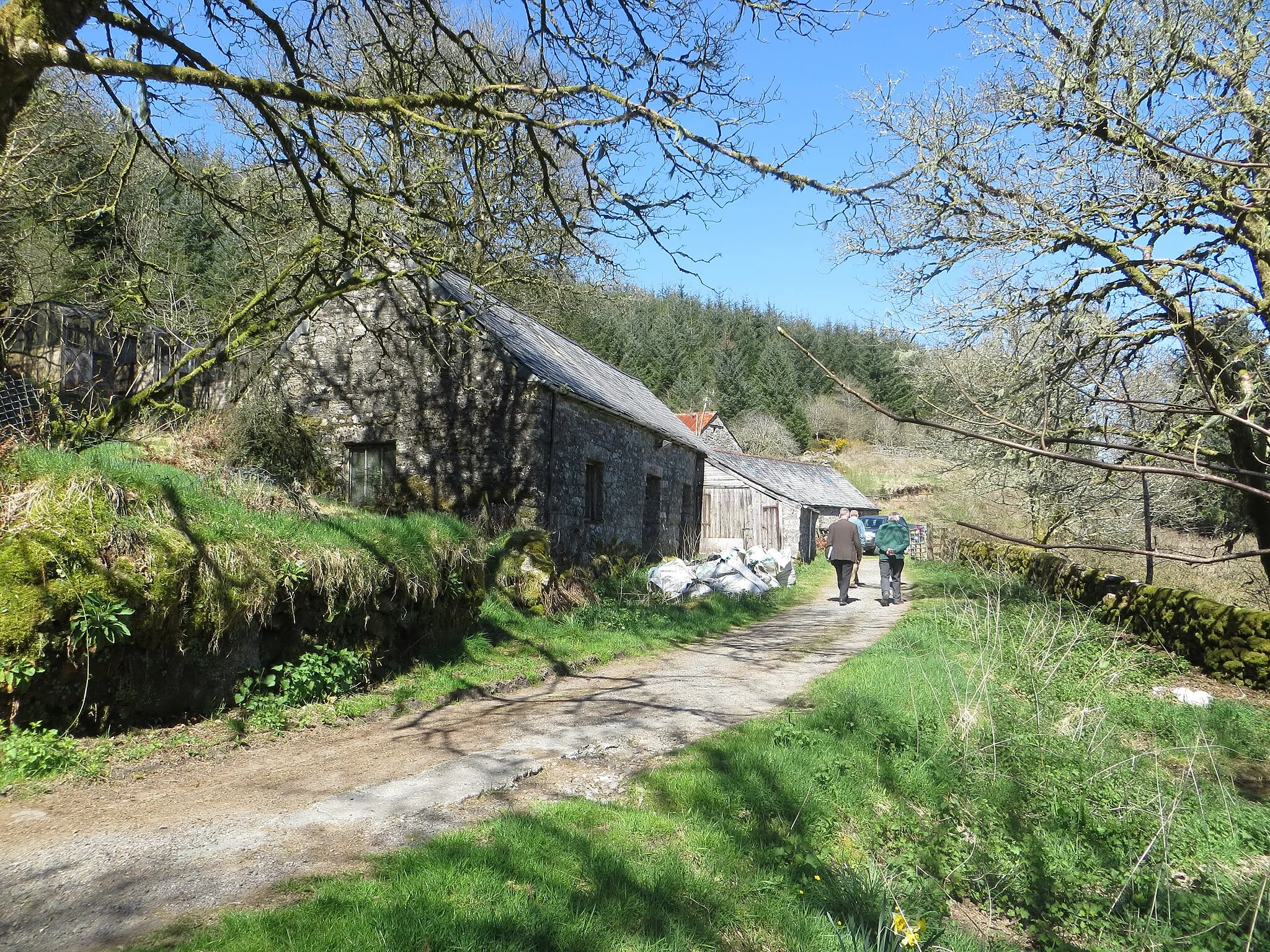
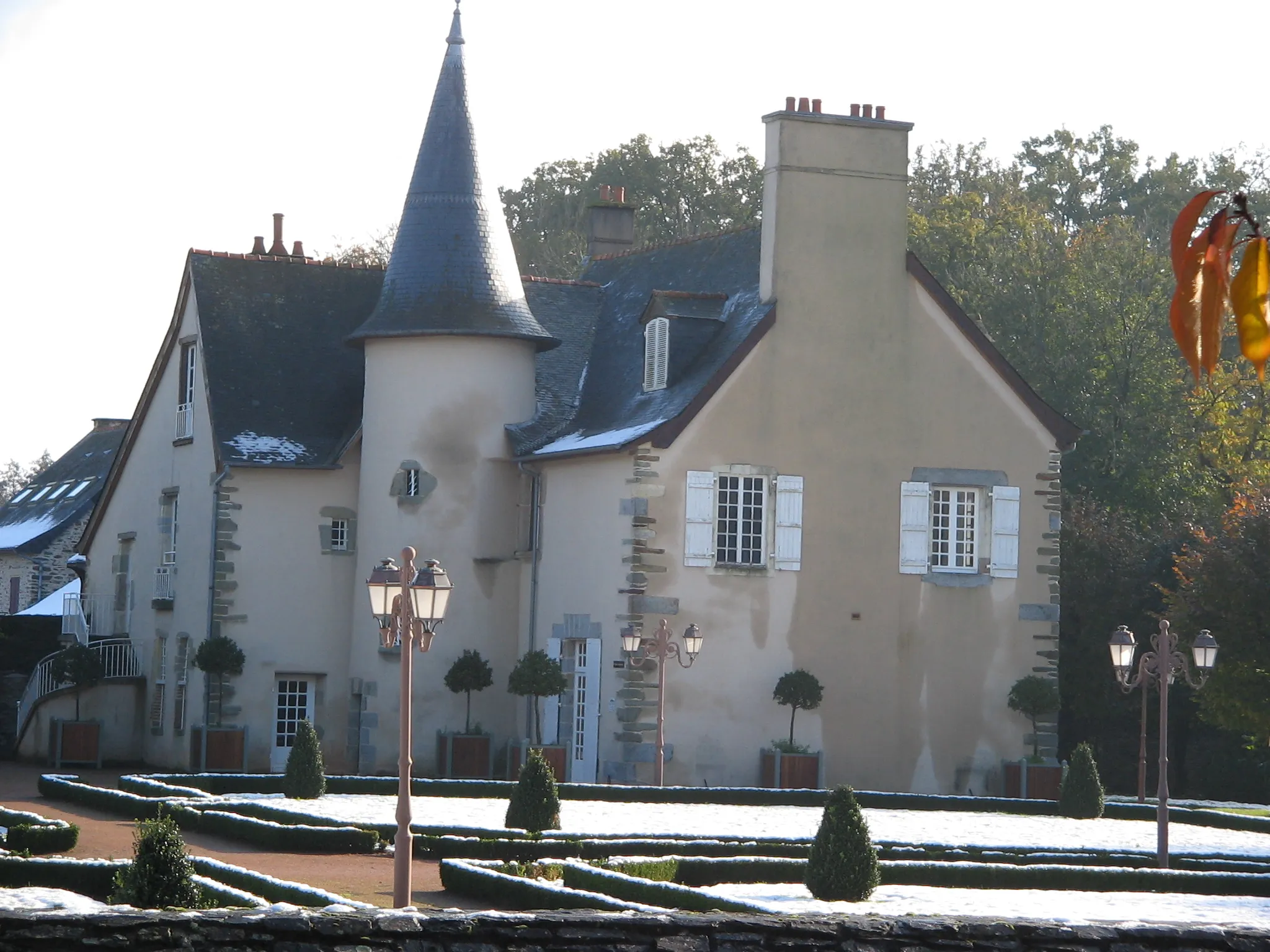
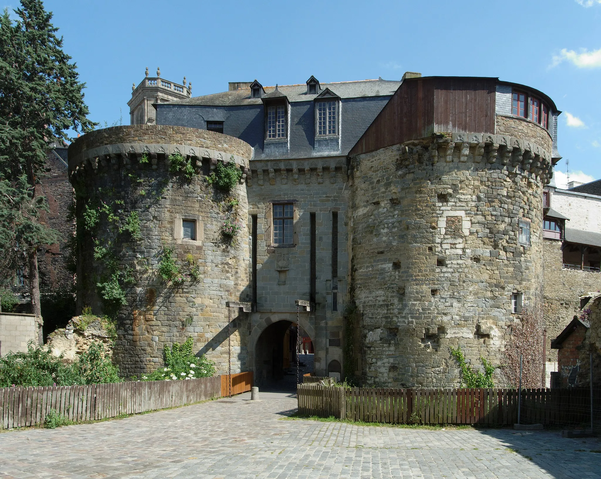
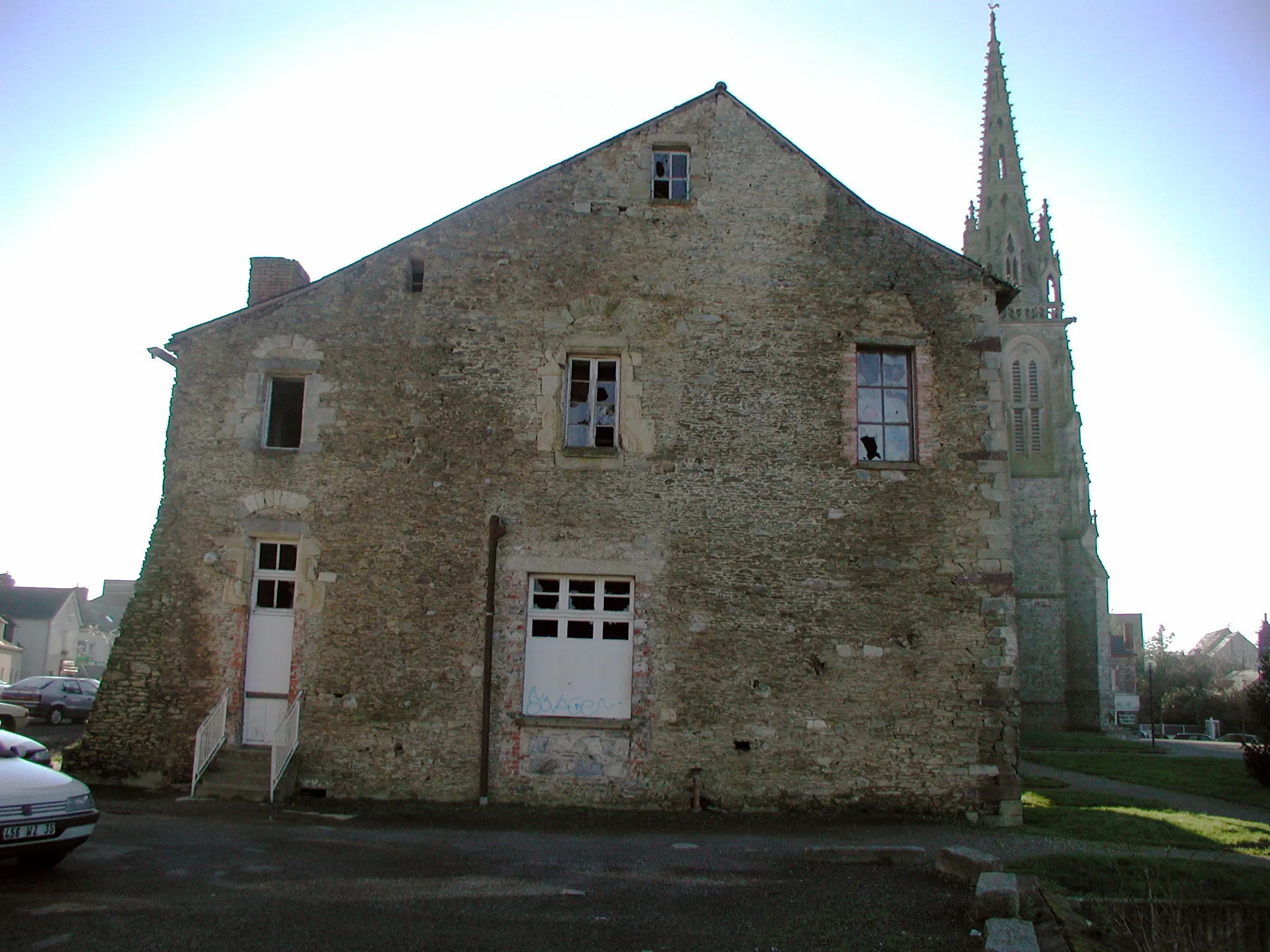
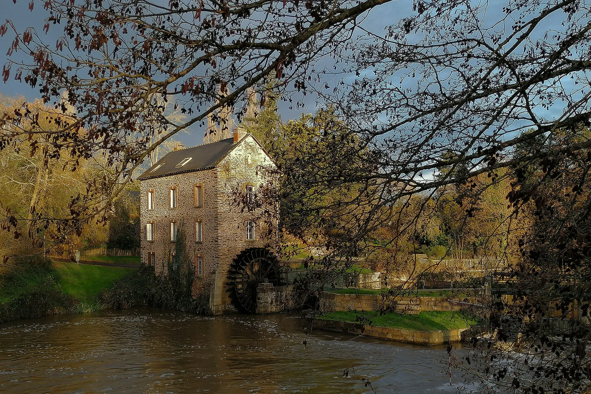
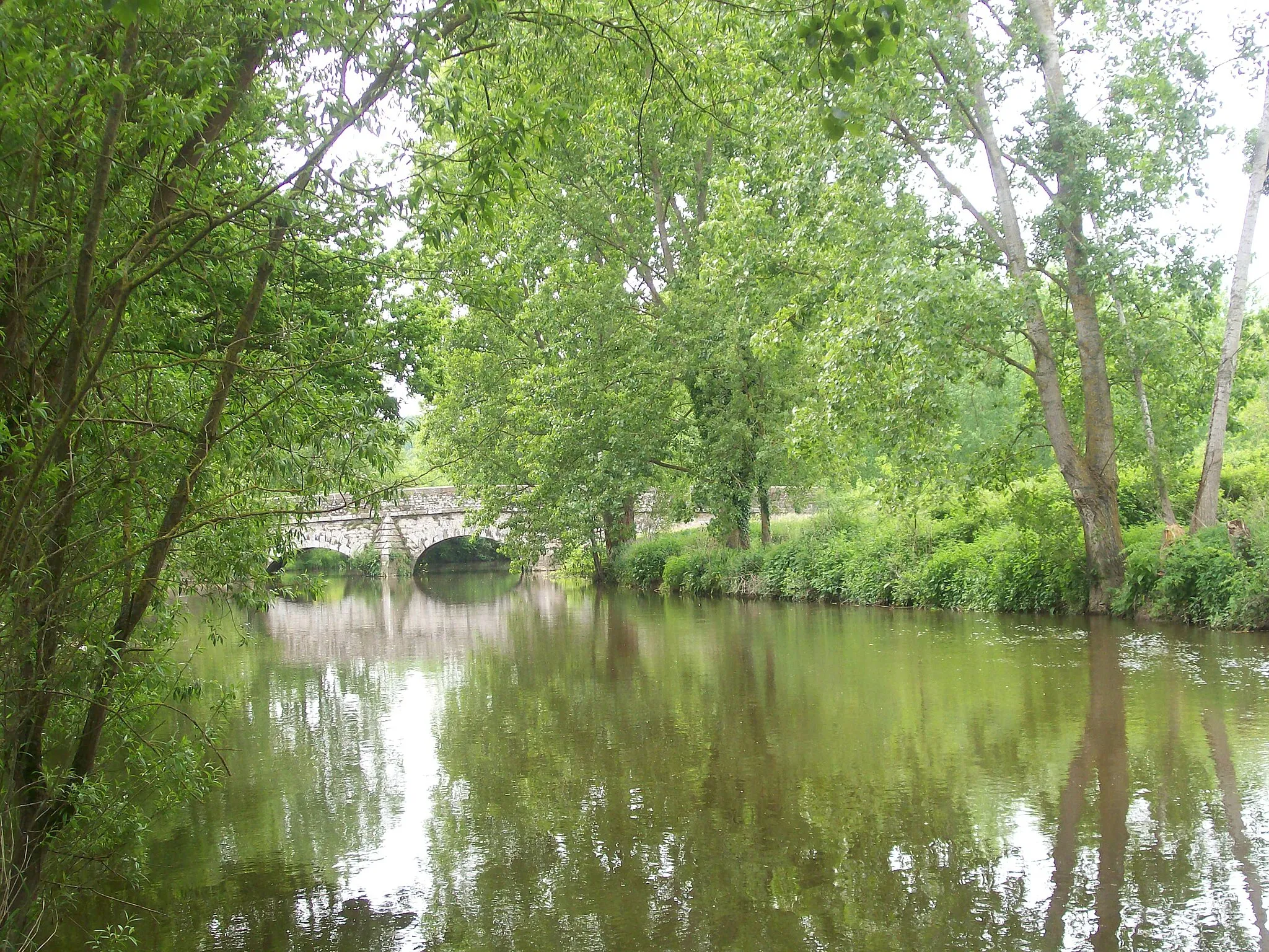
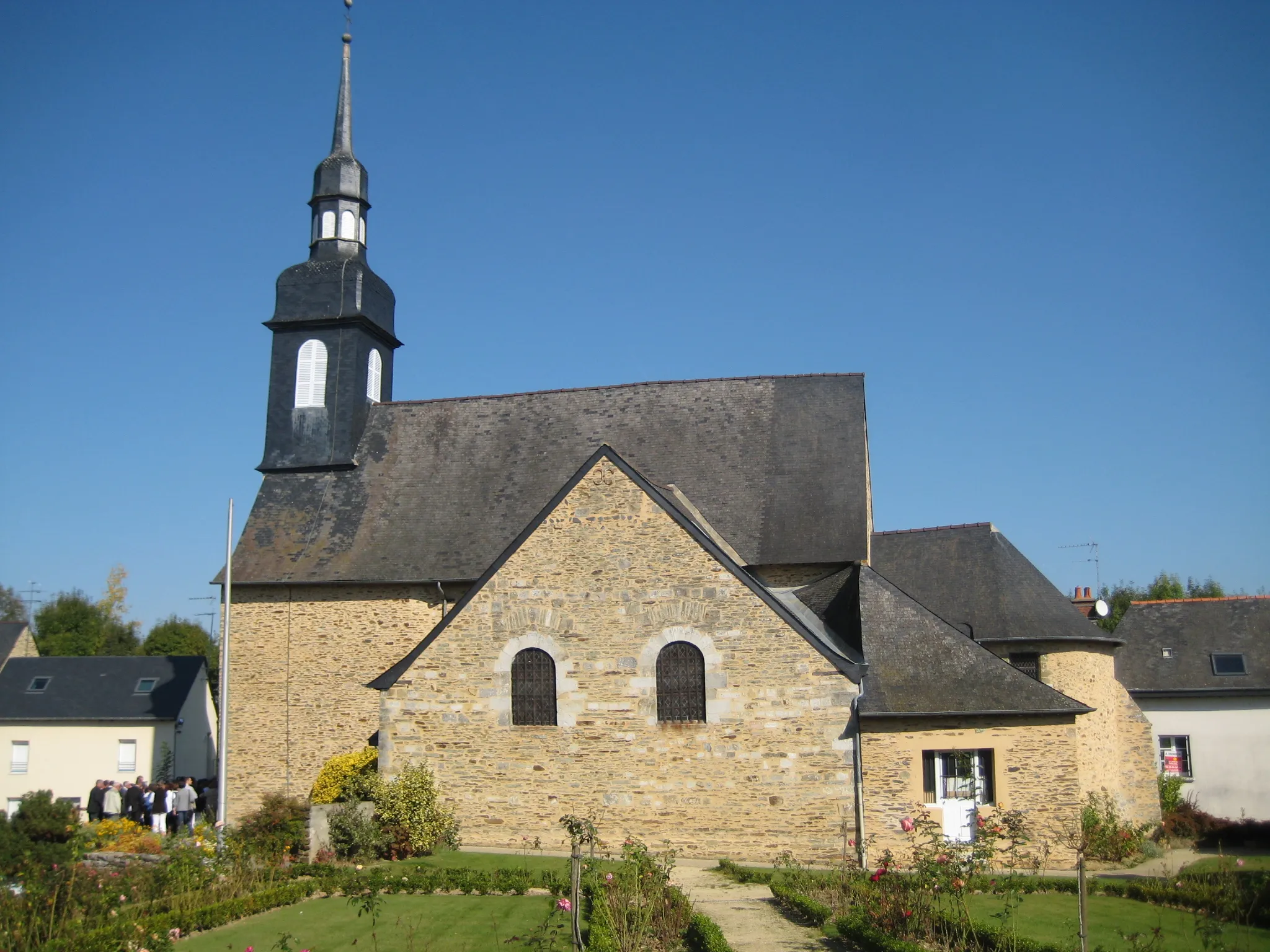
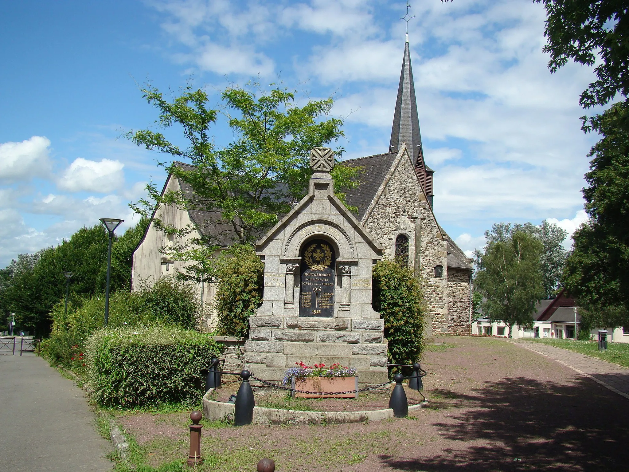
Cesson-Sévigné is a locality in Bretagne, France. From a road and gravel cyclist's perspective, this area offers a mix of scenic countryside routes and urban cycling paths. The region is dotted with charming villages and historic sites, providing cyclists with a cultural and architectural retreat. Cesson-Sévigné is situated near Rennes, the capital city of Bretagne, which offers additional cycling opportunities and services. Cyclists can also visit nearby Forest of Rennes, perfect for off-road cycling adventures. Overall, Cesson-Sévigné offers a balanced cycling experience with a blend of natural and urban environments.
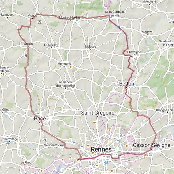
Embark on a thrilling gravel adventure from Cesson-Sévigné to Chevaigné
Get off the beaten path and explore the beautiful gravel roads of Bretagne on this adventurous cycling route. Starting from Cesson-Sévigné, this 63 km long route takes you through scenic landscapes and charming villages. With an ascent of 332 m, it offers a moderate challenge for gravel enthusiasts. Discover the hidden gems of Rennes and Chevaigné along the way.
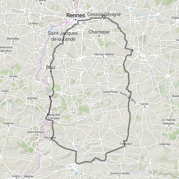
Experience the charm of Nouvoitou on this scenic cycling route
Explore the beautiful countryside of Bretagne on this road cycling route that takes you from Cesson-Sévigné to Nouvoitou and back. With a total distance of 92 km and an elevation gain of 689 m, this route offers a challenging yet rewarding experience for cyclists. Enjoy the peaceful ride through picturesque villages and soak in the natural beauty of the region.
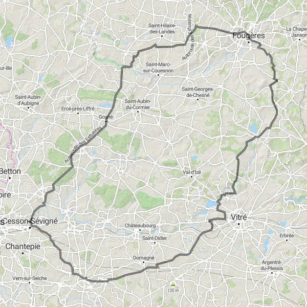
Experience the breathtaking beauty of Liffré on this road cycling route
Cycle through the stunning landscapes of Liffré on this 124 km long road cycling route. With an elevation gain of 939 m, this challenging route is perfect for experienced cyclists looking for a memorable adventure. Enjoy panoramic views, visit historic landmarks, and immerse yourself in the natural beauty of the region.
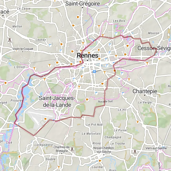
Cycle through history on this gravel ride to Cesson-Sévigné
Experience a unique cycling adventure on this 36 km gravel ride to Cesson-Sévigné. With an ascent of 110 m, this route is suitable for cyclists of all experience levels. Discover the historic landmarks, visit architectural gems, and explore the vibrant town of Cesson-Sévigné.
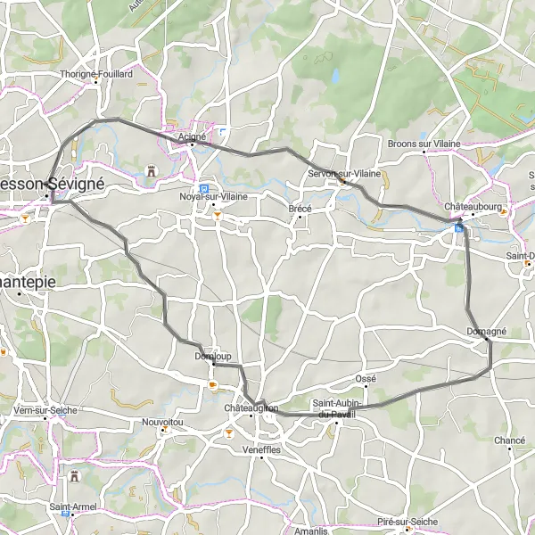
Experience the beauty of Acigné and Saint-Aubin-du-Pavail on this scenic road cycling route near Cesson-Sévigné.
This road cycling route covers a distance of 45km and features an elevation gain of 316m. It offers a pleasant cycling experience through the charming towns of Acigné and Saint-Aubin-du-Pavail, showcasing the natural beauty of the region. With moderate difficulty, this route is suitable for intermediate cyclists looking to explore the picturesque landscapes near Cesson-Sévigné.
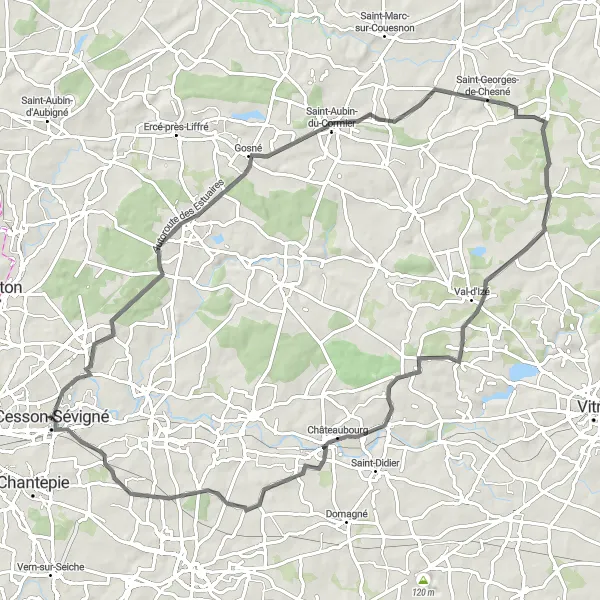
Embark on a scenic road cycling adventure through Thorigné-Fouillard and Saint-Aubin-du-Cormier on this picturesque route.
This road cycling route covers a distance of 83km and features an elevation gain of 597m. It showcases some of the most beautiful landscapes near Cesson-Sévigné, including the charming towns of Thorigné-Fouillard and Saint-Aubin-du-Cormier. The route is suitable for experienced cyclists due to its moderate difficulty level and offers breathtaking views along the way.
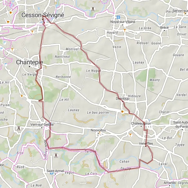
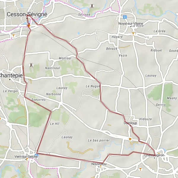
Discover the charm of Châteaugiron and Vern-sur-Seiche on this scenic gravel route near Cesson-Sévigné.
This gravel route offers a cycling adventure of 38km with an elevation gain of 233m. Immerse yourself in the picturesque landscapes as you pass through the enchanting towns of Châteaugiron and Vern-sur-Seiche. This route is suitable for gravel bikes and provides opportunities to discover the cultural and natural gems of the region.
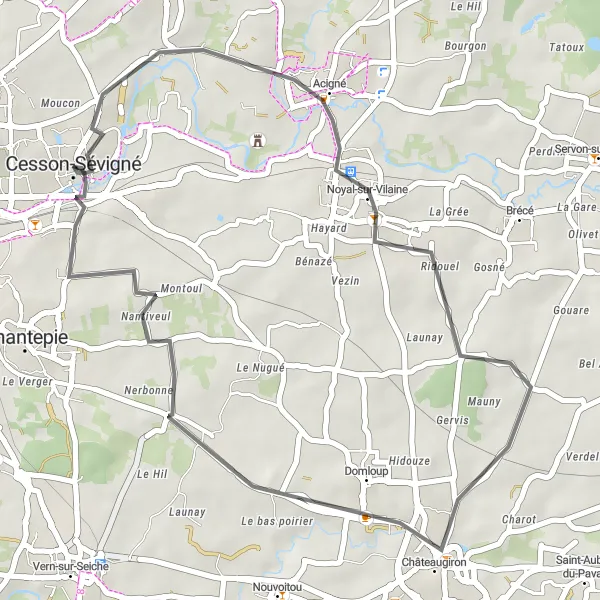
Discover the beauty of Acigné on this scenic road cycling route
Enjoy a leisurely ride through the picturesque countryside of Acigné on this 35 km long road cycling route. With an ascent of 230 m, this route is suitable for cyclists of all levels. Admire the stunning landscapes, visit charming villages, and experience the tranquility of the region.
Explore the charming towns of Domloup and Château de la Salette-de-Cucé on this scenic gravel route near Cesson-Sévigné.
This gravel route takes you through picturesque landscapes and charming towns, including Domloup and Château de la Salette-de-Cucé. With a distance of 30km and an elevation gain of 214m, it offers a moderate challenge for cyclists. The route is suitable for gravel bikes and provides a unique cycling experience in the Bretagne region.
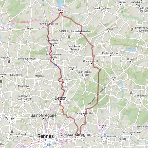
Discover the charming towns of Betton and Andouillé-Neuville on this scenic gravel route near Cesson-Sévigné.
This gravel route covers a distance of 66km and features an elevation gain of 374m. It offers a delightful cycling experience through the picturesque towns of Betton and Andouillé-Neuville, showcasing the natural beauty of the Bretagne region. The route is suitable for gravel bikes and provides an ideal mix of scenery and cultural highlights.
Cycling routes nearby:
Nearby regions: