Mountains and Coast
A road cycling route starting from Plounevez-Lochrist
Embark on a thrilling adventure from mountains to coast near Plounévez-Lochrist
Map
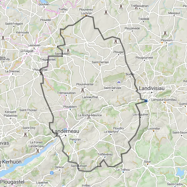
Experience the contrast of rugged mountains and tranquil coast on this 82 km route. This challenging ride takes you through the breathtaking Monts d'Arrée and offers stunning views of the coastline. With a challenging ascent and varied terrain, this route is recommended for experienced cyclists seeking an epic and rewarding adventure.
road
82 km
801 m
Tough
Route profile
Highlights on the route
0 km
0 km
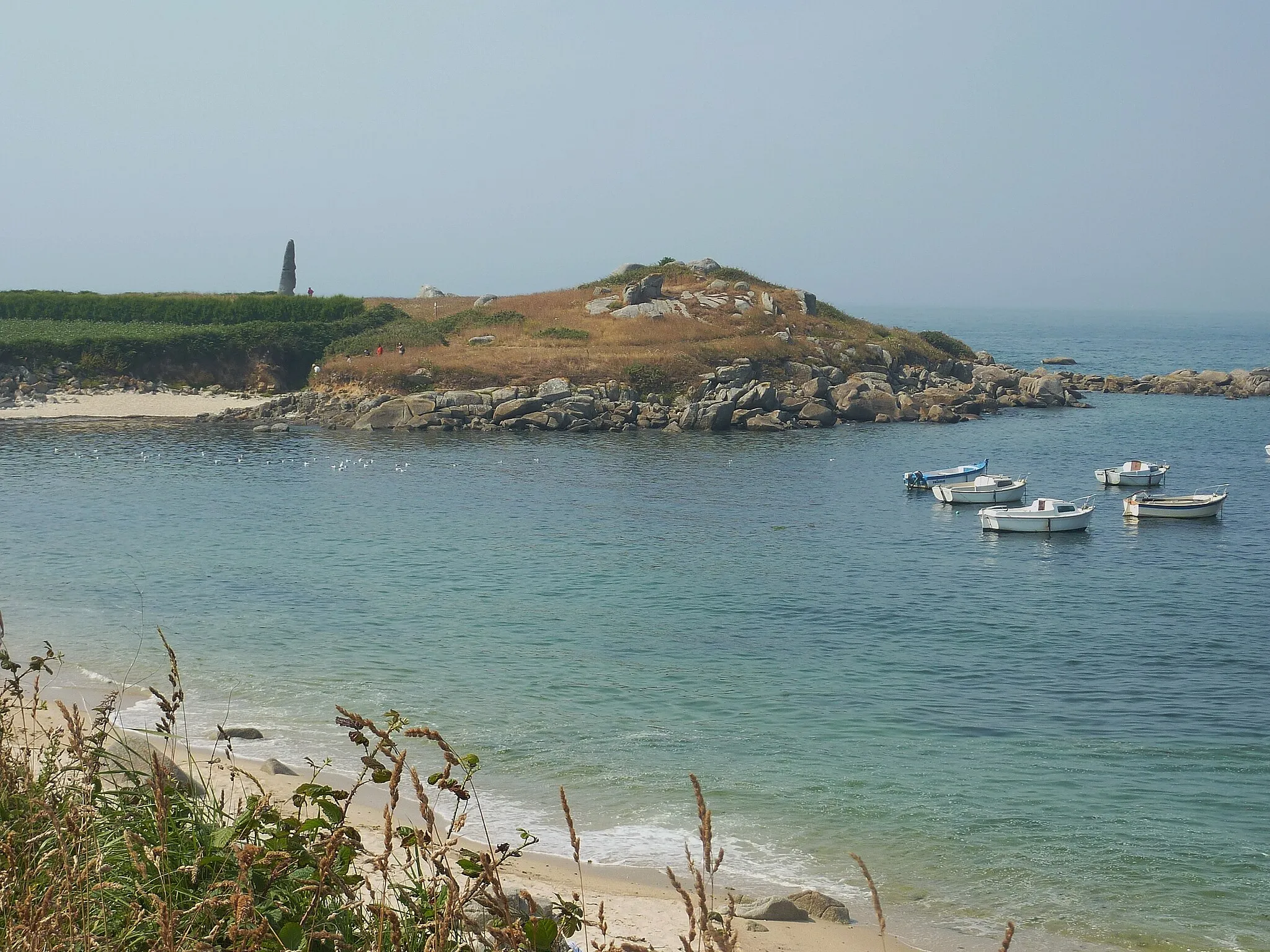
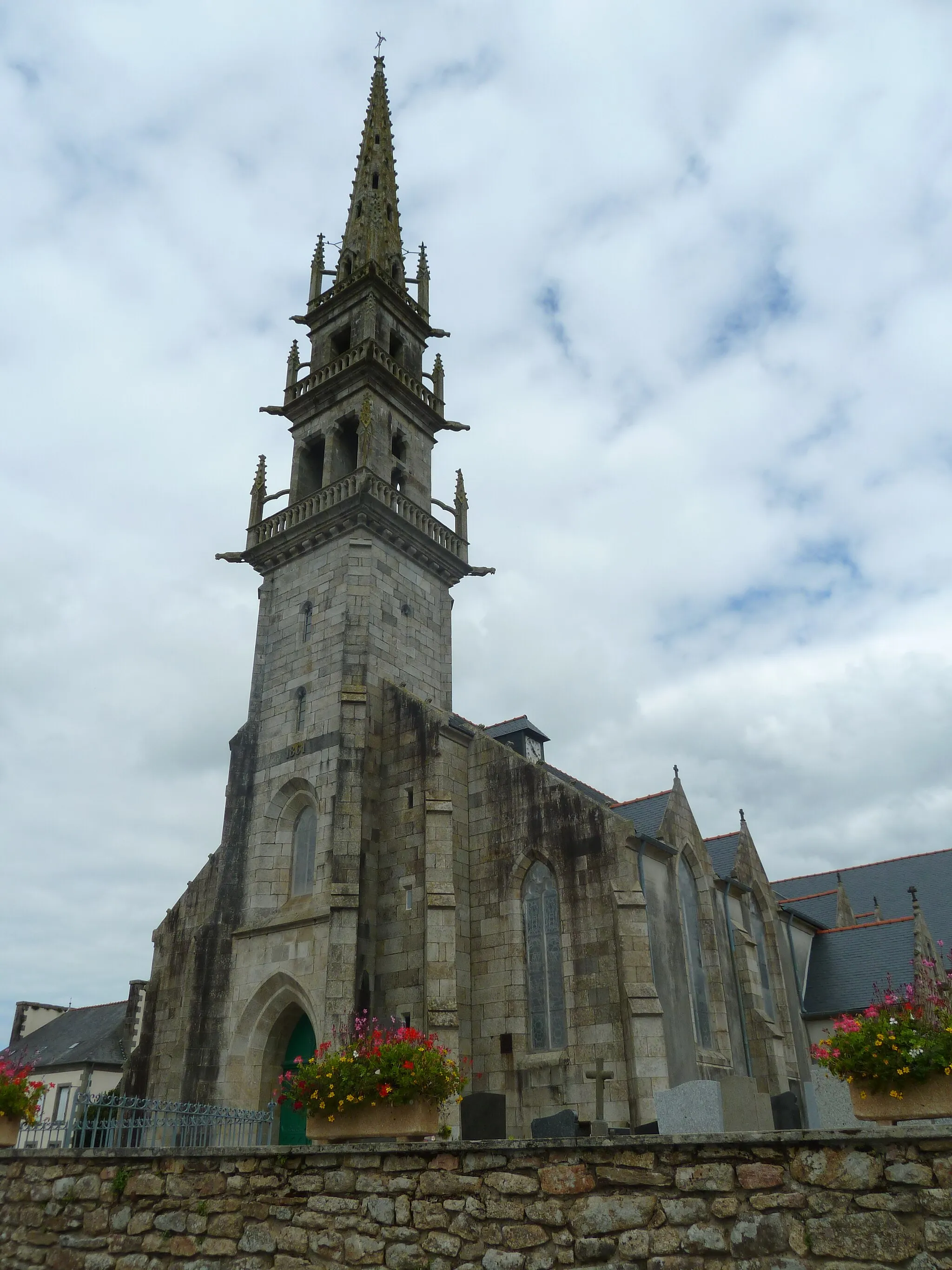
Start: Plounévez-Lochrist Village centerPlounévez-Lochrist: Coastal rides and dramatic cliffs.
Plounévez-Lochrist is a locality in the Bretagne region of France. From a road and gravel cyclist's perspective, this area offers a mix of stunning coastal rides and picturesque countryside. The region is renowned for its rugged coastline, dramatic cliffs, and beautiful beaches, providing a scenic backdrop for cycling. Cyclists can embark on the 'Côte de Plounevez-Lochrist' climb, which offers breathtaking views of the surrounding landscape. In addition to the coastal routes, riders can explore the quaint villages, sample local cuisine, and immerse themselves in the unique culture of Bretagne. Plounévez-Lochrist offers a memorable and diverse cycling experience for riders of all levels.15 km
15 km
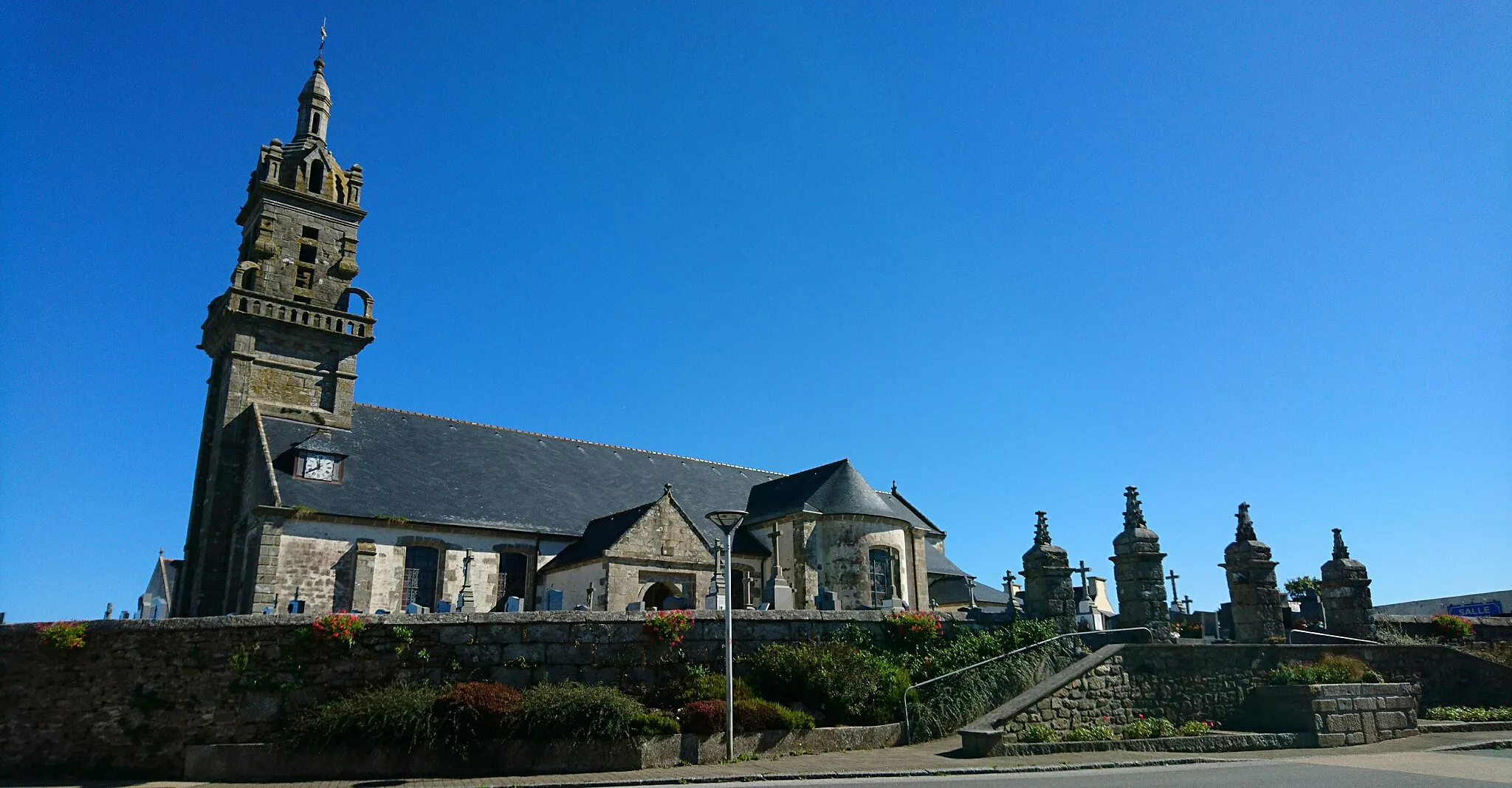
BodilisVillageBodilis, surrounded by lush green countryside, is a peaceful and picturesque village worth exploring during your ride.
25 km
25 km
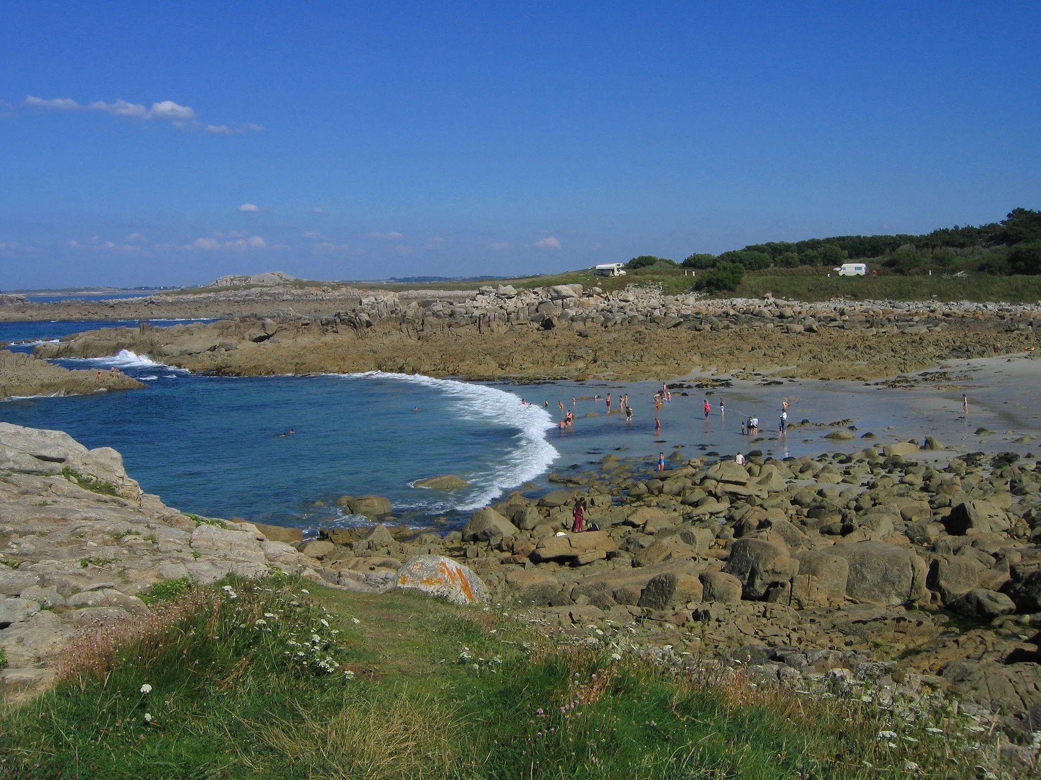
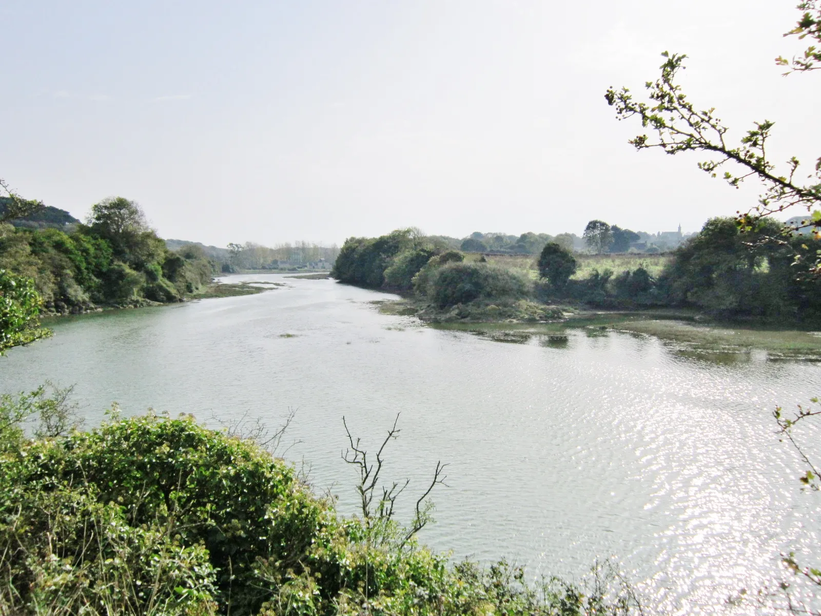
Loc-EguinerVillageLoc-Eguiner, nestled at the foot of the Monts d'Arrée, offers a perfect spot to take a break and enjoy the majestic mountain views.
38 km
38 km
Tréflévénez des Monts d’Arrée au Menez-HomViewpointTréflévénez, located at the base of the Monts d'Arrée and the Menez-Hom, offers a thrilling climb and rewards you with breathtaking panoramic views.
52 km
52 km
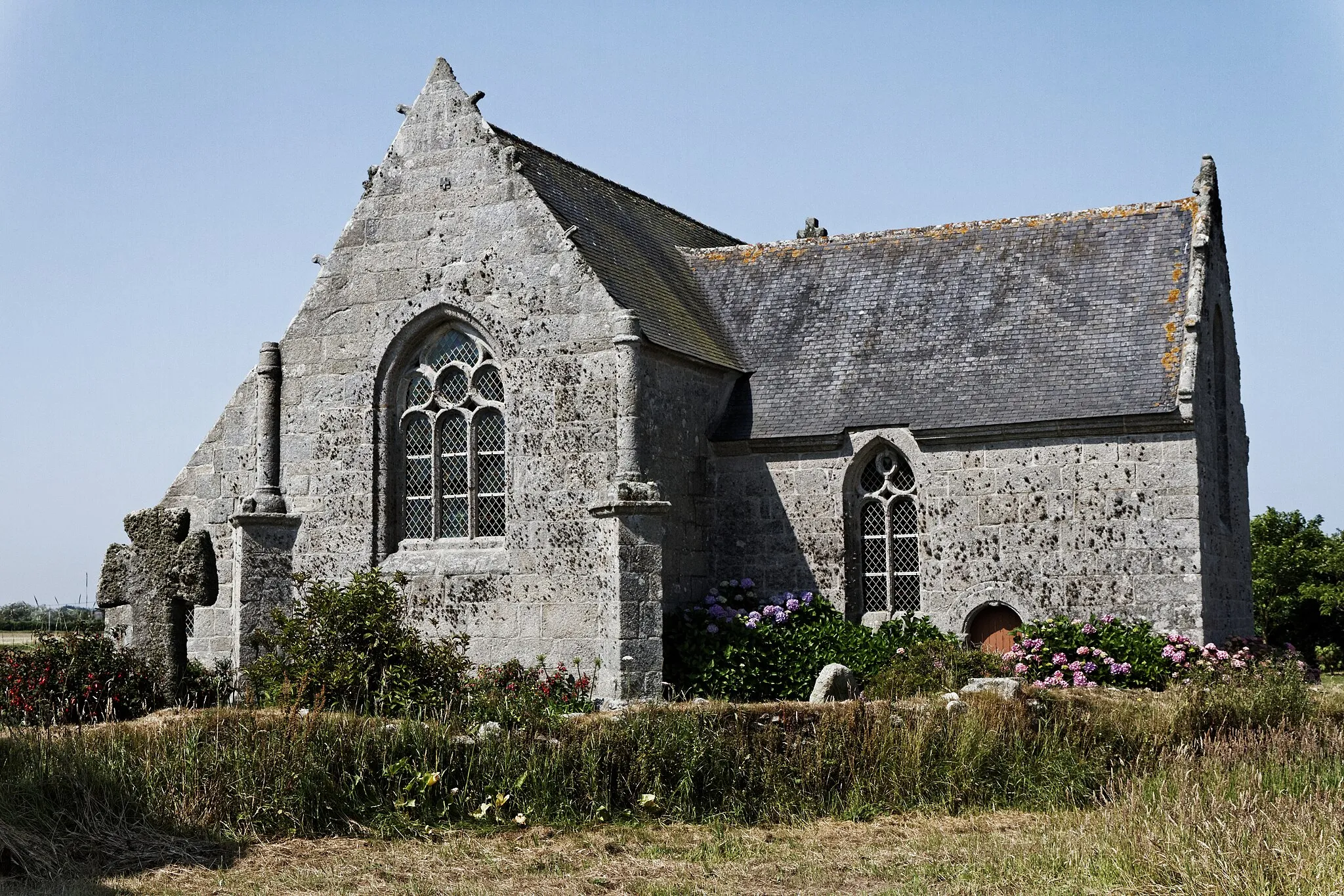
Vestiges de l'Église de Beuzit-ConoganCastle RuinsBeuzit-Conogan is home to the captivating remains of an ancient church, creating a mysterious and haunting atmosphere for your visit.
67 km
67 km
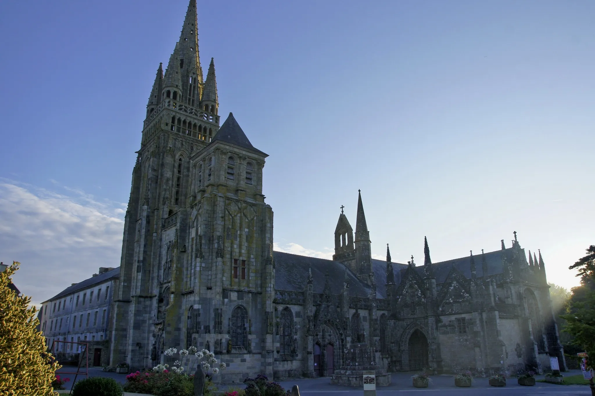
TrégarantecVillageTrégarantec, surrounded by rolling hills and stunning landscapes, offers an ideal spot for a relaxing break in nature.
82 km
82 km
Plounévez-LochristVillagePlounévez-Lochrist, where your journey begins and ends, provides a perfect blend of charming seaside beauty and stunning natural landscapes.
82 km
82 km
Finish: Plounévez-Lochrist Village centerPlounévez-Lochrist: Coastal rides and dramatic cliffs.
Cycling routes nearby: