The Gravel Trail of Artannes-sur-Indre
A gravel cycling route starting from Artannes-sur-Indre
Navigate through the beautiful countryside and discover hidden gems on this gravel route around Artannes-sur-Indre
Map
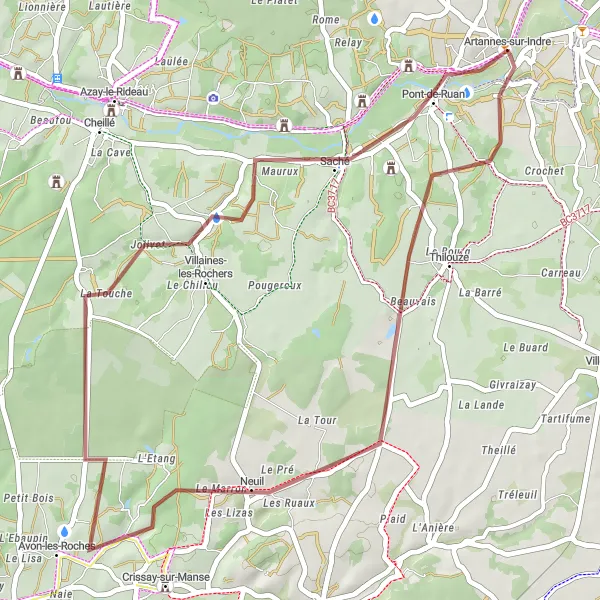
This gravel trail starts near the charming town of Artannes-sur-Indre and takes you on a scenic journey through the picturesque landscapes of the Centre — Val de Loire region. Along the way, you will encounter quaint villages, rolling hills, and stunning views of the surrounding countryside. With a moderate ascent of 274 meters and a total distance of 42 kilometers, this route is suitable for both experienced gravel riders and adventurous beginners.
gravel
42 km
274 m
Tough
Route profile
Highlights on the route
0 km
0 km
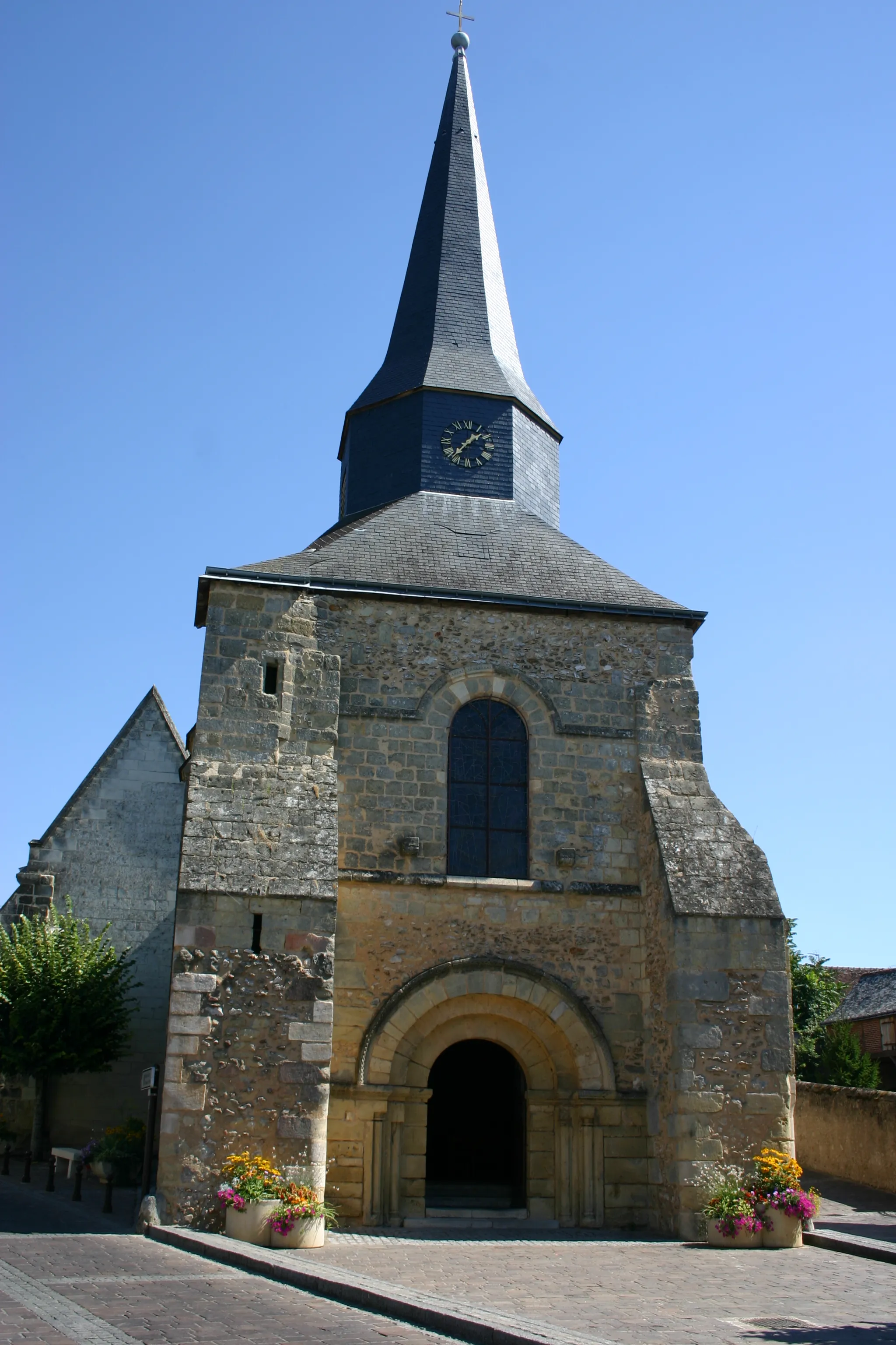
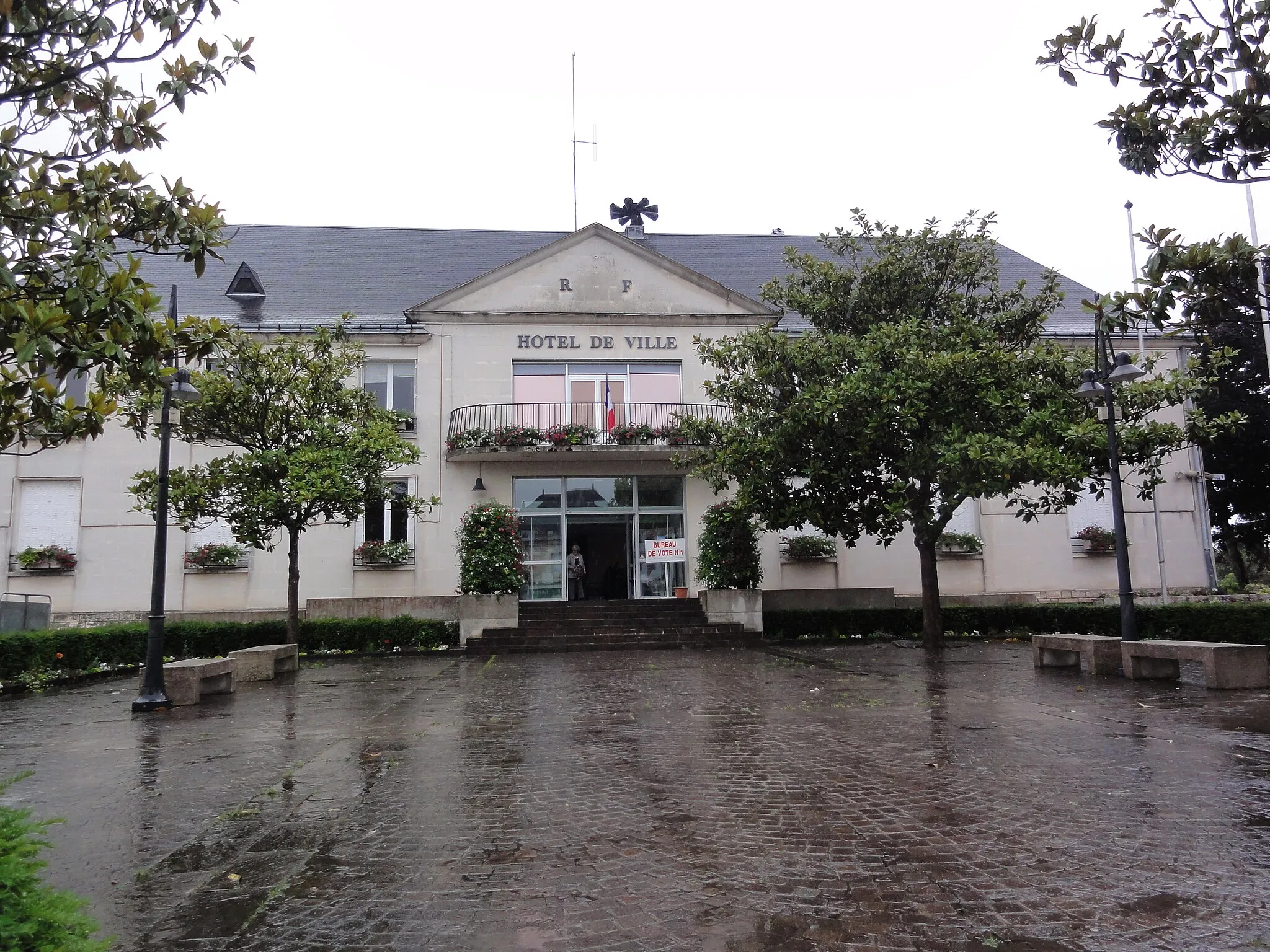
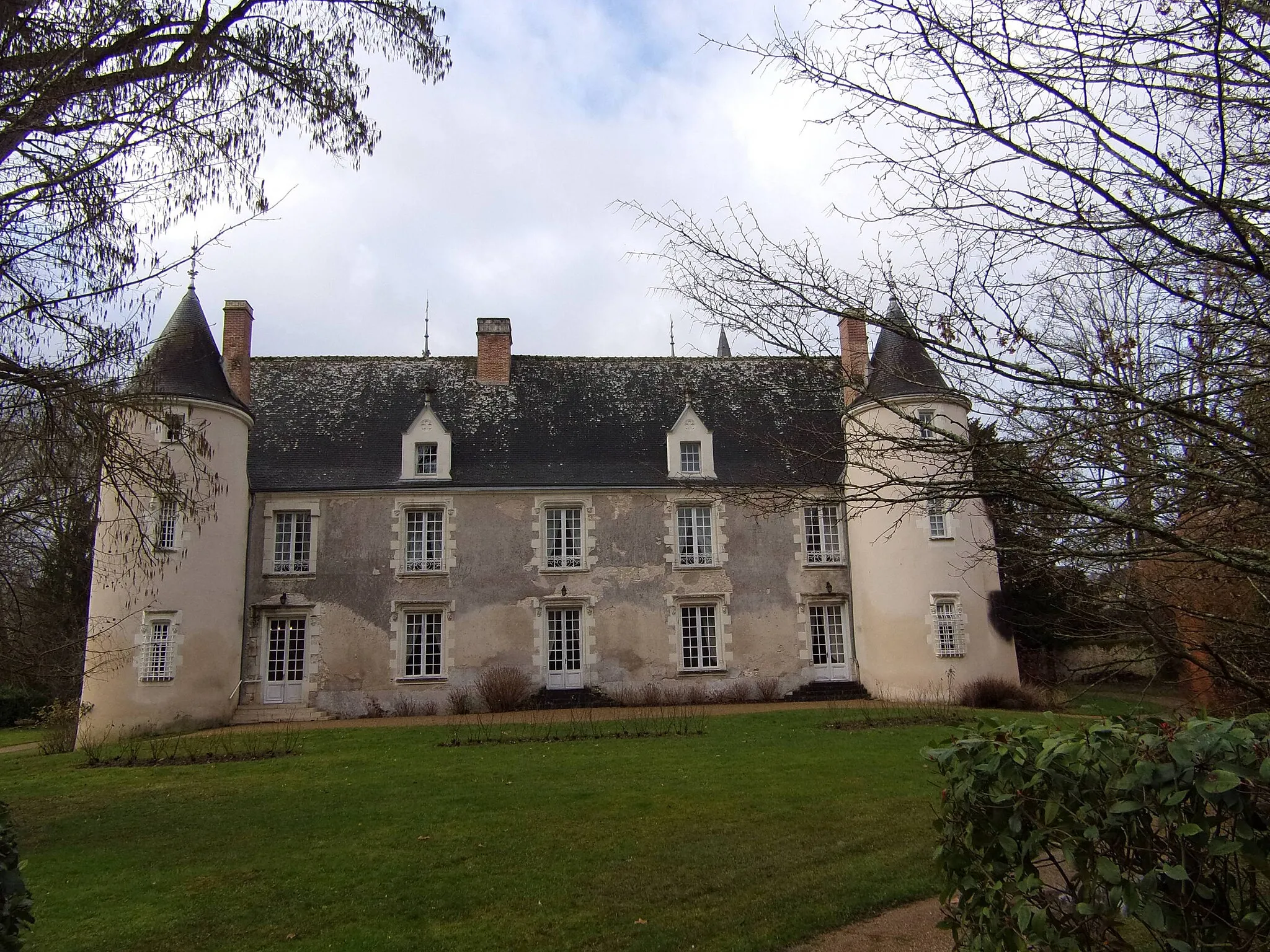
Start: Artannes-sur-Indre Village centerArtannes-sur-Indre: Tranquil Countryside and Charming Chateaus
Artannes-sur-Indre is a peaceful commune located in the Centre — Val de Loire region of France. From a cyclist's perspective, the locality offers scenic routes along the Indre River and through picturesque countryside. The surrounding area is dotted with charming chateaus, creating a charming backdrop for cycling enthusiasts. While not as well-known for cycling, Artannes-sur-Indre still receives a rank of 2 in terms of cycling suitability and tourism due to its peaceful ambiance and scenic landscapes.15 km
15 km
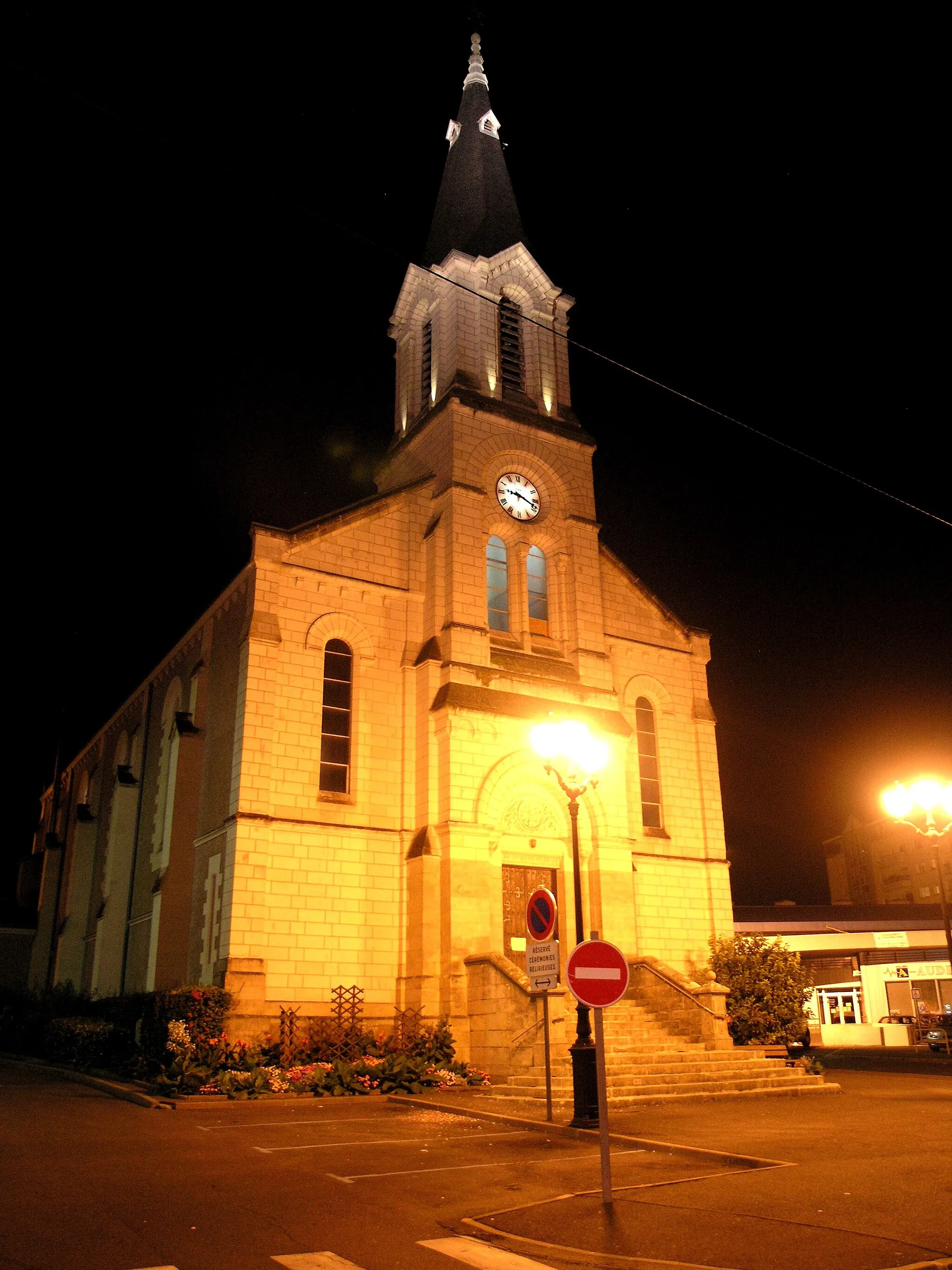
NeuilVillageLocated 15 kilometers into the route, the village of Neuil offers a perfect pit stop to rest and admire its beautiful traditional architecture.
36 km
36 km
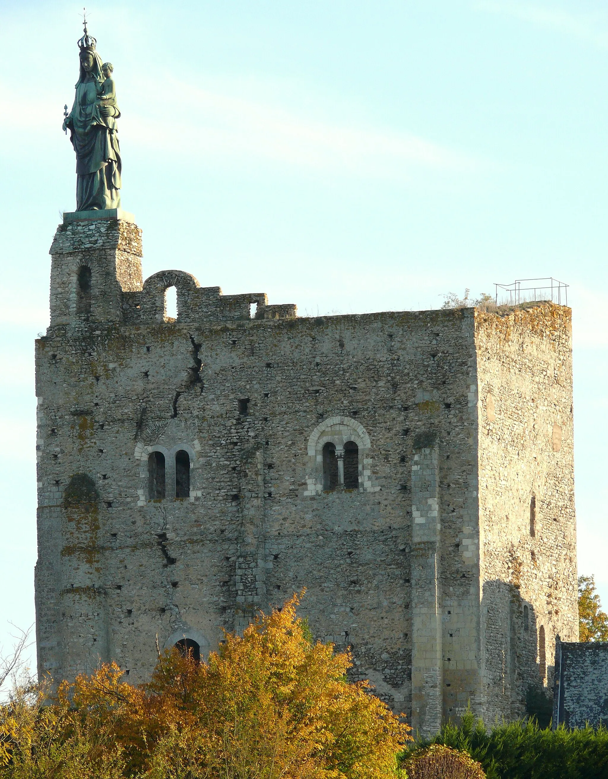
SachéVillageSaché, at 36 kilometers into the route, is home to the renowned Musée Balzac, a museum dedicated to the life and works of Honoré de Balzac.
42 km
42 km
Artannes-sur-IndreVillageArtannes-sur-Indre, the starting point and ending point of the route, is a charming village with a rich history and beautiful surroundings.
42 km
42 km
Finish: Artannes-sur-Indre Village centerArtannes-sur-Indre: Tranquil Countryside and Charming Chateaus
Cycling routes from Artannes-sur-Indre:
Cycling routes nearby: