Mance Valley Exploration
A road cycling route starting from Chalindrey
Discover the beauty of Mance Valley on this road cycling route
Map
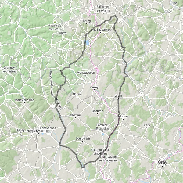
This round-trip road cycling route takes you through the enchanting Mance Valley, offering stunning views and a chance to immerse yourself in natural beauty. Covering a distance of 115 kilometers with an ascent of 975 meters, this route is suitable for well-trained amateurs. It has a difficulty level of 3 and an epicness rating of 3.
road
115 km
975 m
Tough
Route profile
Highlights on the route
0 km
0 km
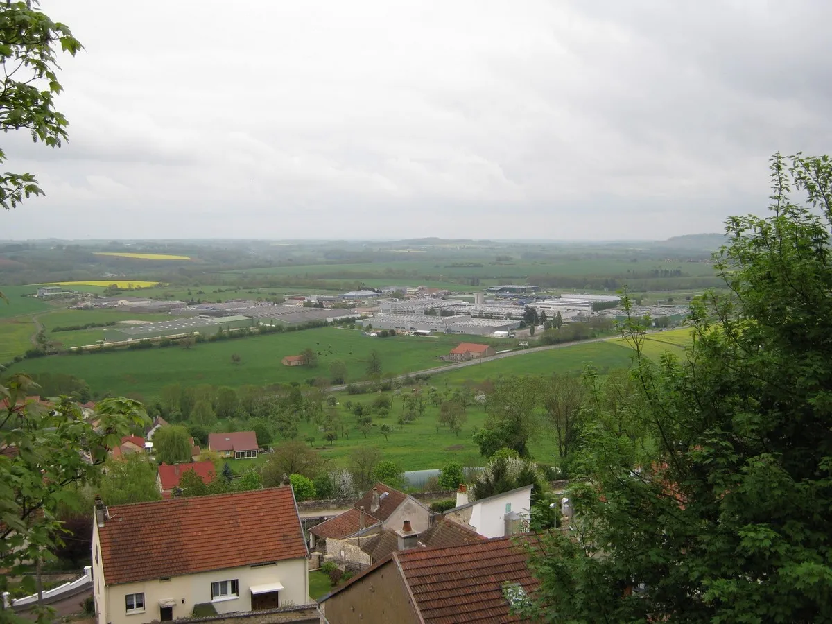
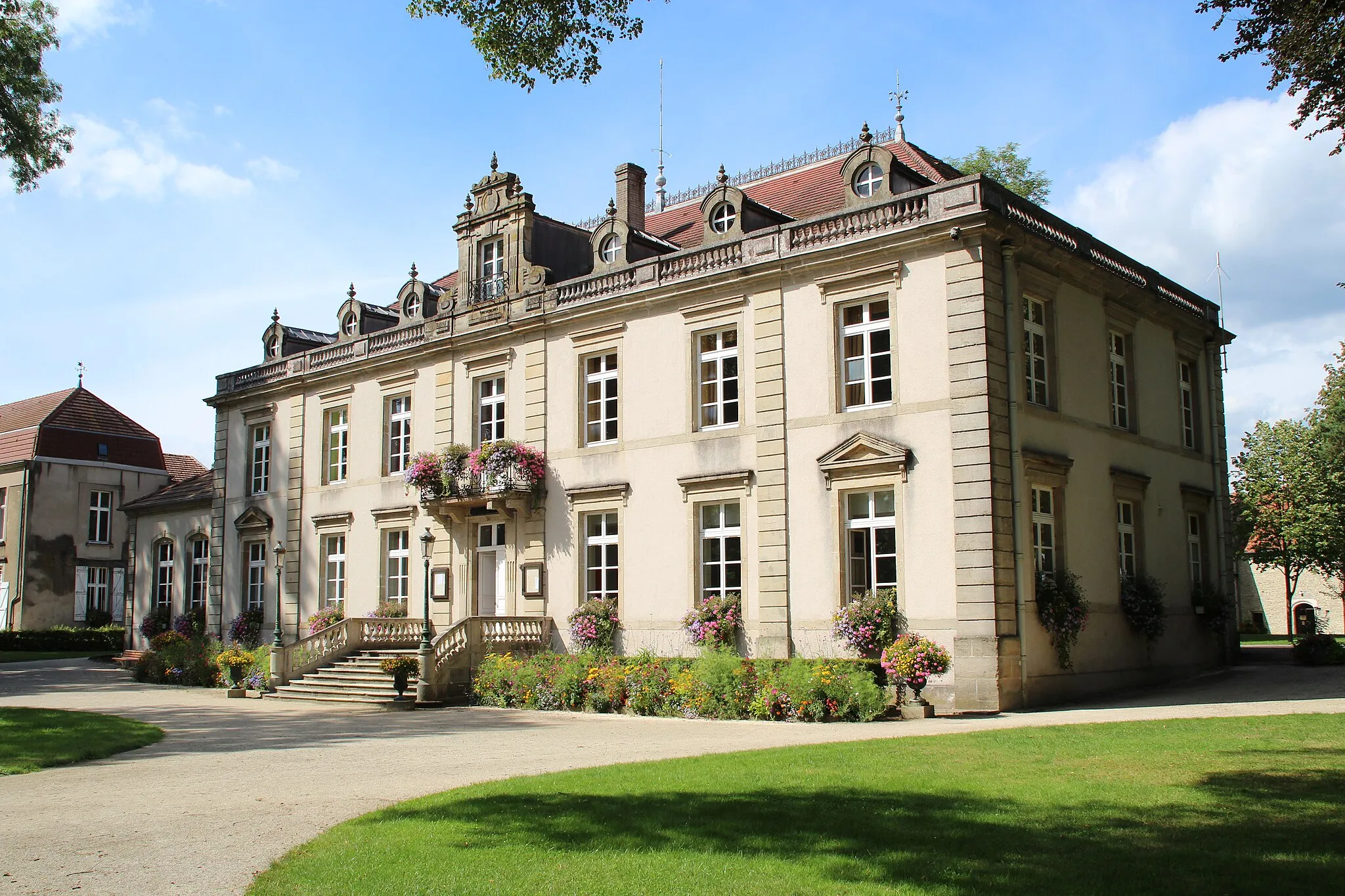
Start: Chalindrey Village centerChalindrey: Discover scenic cycling in peaceful Chalindrey, Champagne-Ardenne
Chalindrey is a peaceful locality located in the Champagne-Ardenne region of France, offering a pleasant cycling experience. The town is surrounded by picturesque landscapes, providing scenic routes for road and gravel cyclists. While Chalindrey doesn't have any famous climbs, the quiet roads and charming countryside make it a suitable destination for leisurely rides. Additionally, the town offers opportunities for sightseeing and discovering local attractions. Overall, Chalindrey is a great place to explore the beauty of the Champagne region while enjoying your cycling adventures.13 km
13 km
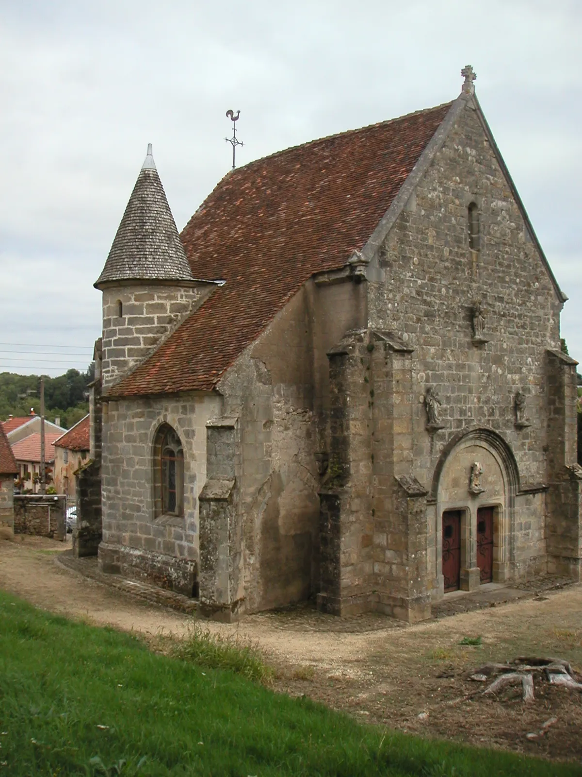
MaâtzVillageMaâtz is a village known for its traditional architecture and beautiful views of the surrounding countryside.
32 km
32 km
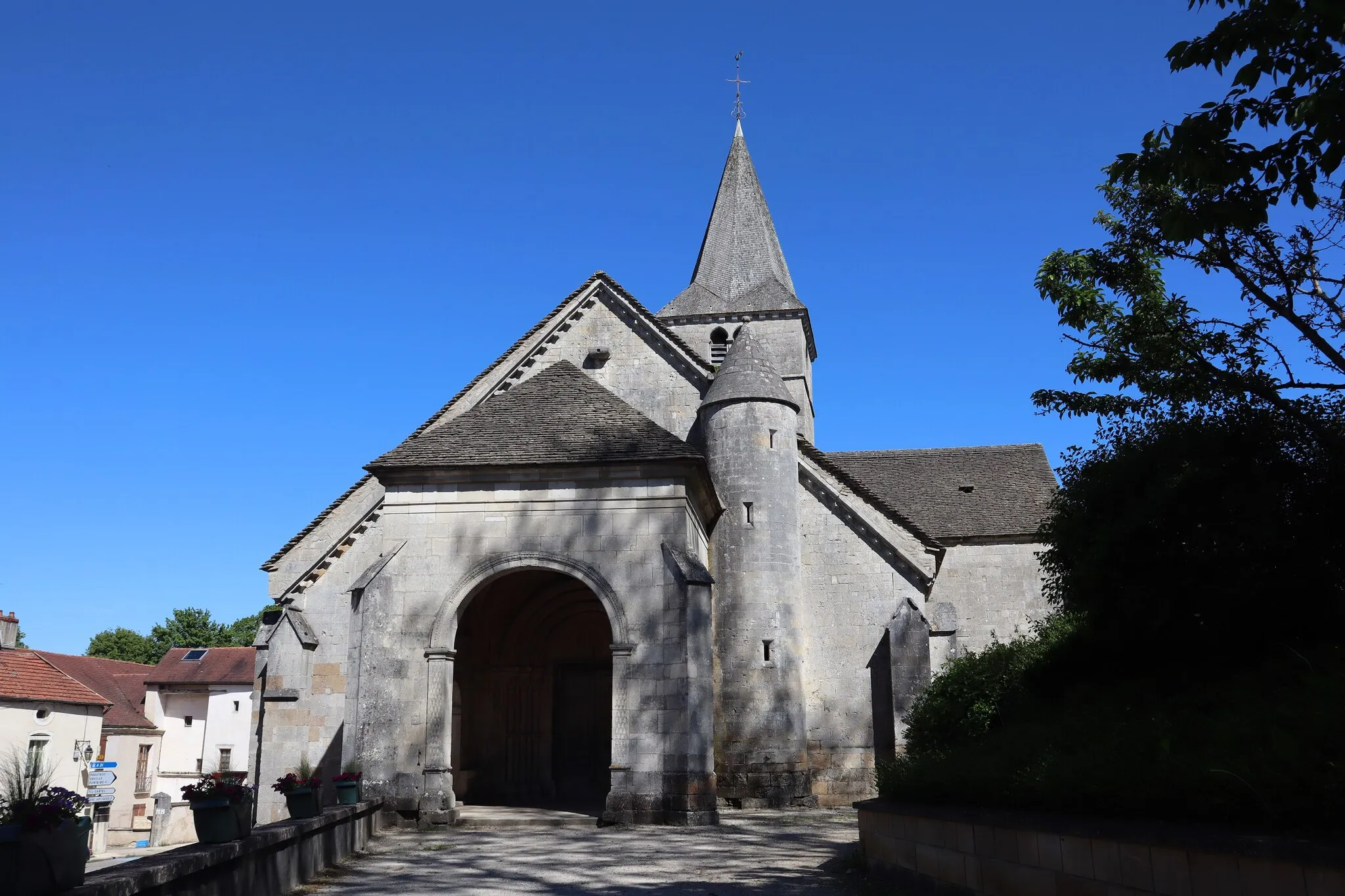
La Villeneuve-sur-VingeanneVillageLa Villeneuve-sur-Vingeanne is a quaint village with narrow streets and charming houses.
44 km
44 km
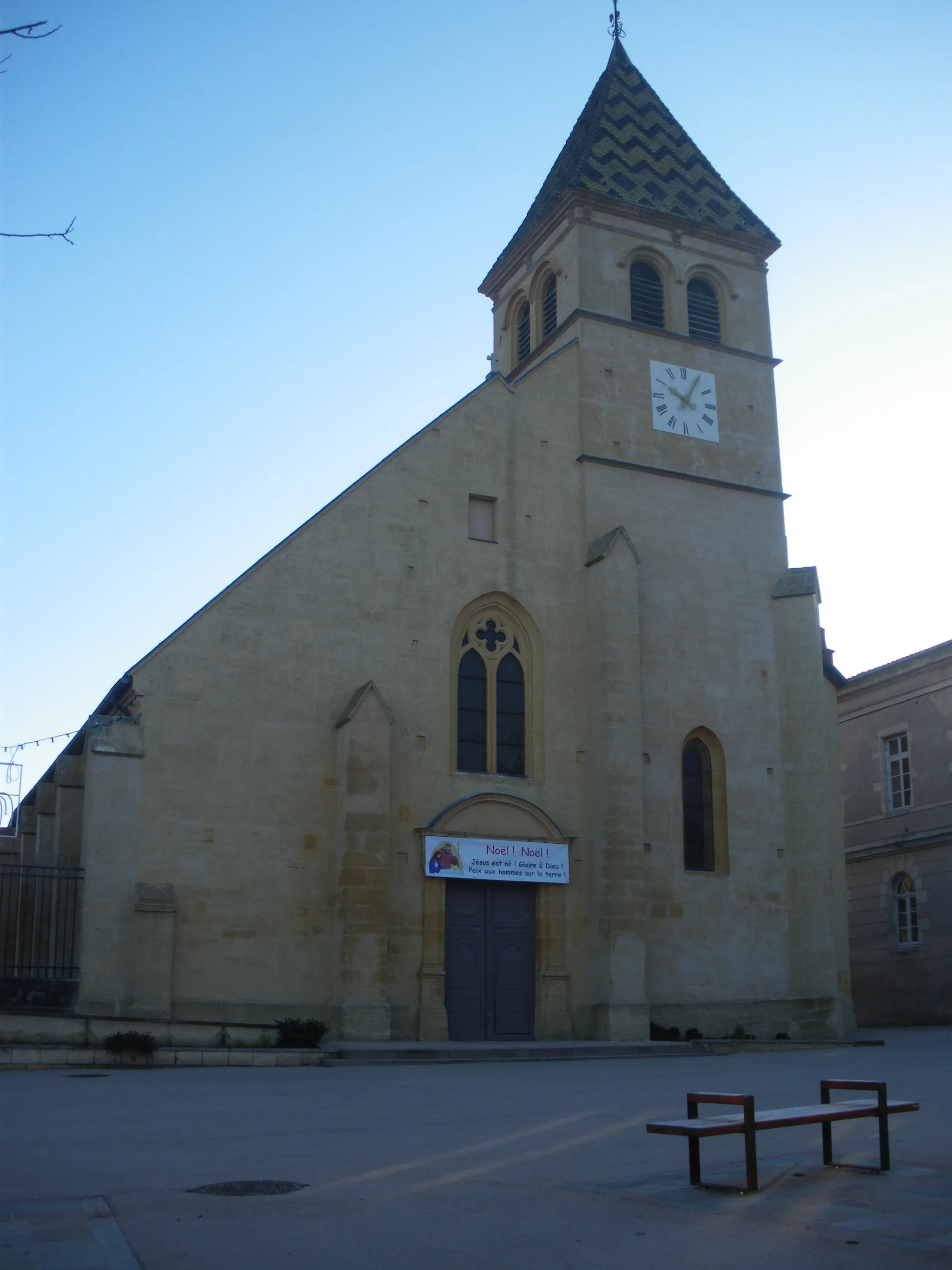
Dampierre-et-FléeVillageDampierre-et-Flée is a picturesque village nestled amidst rolling hills and scenic landscapes.
57 km
57 km
BèzeVillage57 km
57 km
Source de la BèzeViewpoint71 km
71 km
OrvilleVillageOrville is a charming village known for its lush greenery and tranquil ambiance.
85 km
85 km
Rivière-les-FossesVillageRivière-les-Fosses is a popular spot for outdoor activities, offering scenic walking trails and river views.
107 km
107 km
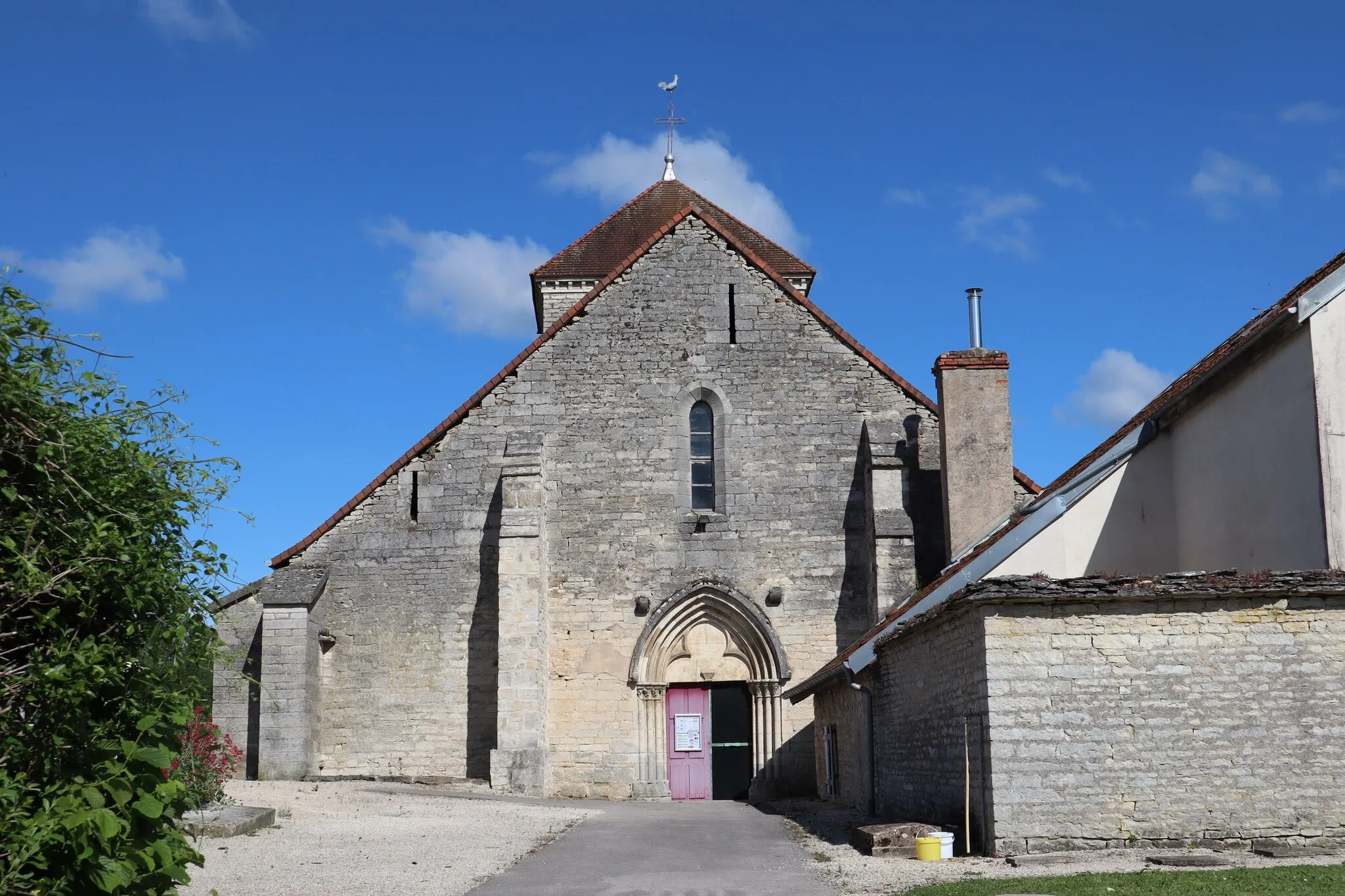
CohonsVillageCohons is a picturesque village with historic buildings and churches, providing a scenic backdrop for cyclists.
115 km
115 km
Finish: Chalindrey Village centerChalindrey: Discover scenic cycling in peaceful Chalindrey, Champagne-Ardenne
Cycling routes nearby: