Gravel Route to La roche Margot
A gravel cycling route starting from Les Hautes-Rivieres
Explore the rugged terrain leading to La roche Margot.
Map
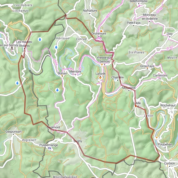
This challenging gravel route takes you through stunning landscapes near Les Hautes-Rivières. Along the way, you'll pass by Vresse-sur-Semois, Poupehan, and Bagimont, each offering unique attractions and picturesque views. The route covers a total distance of 44 kilometers and features an ascent of 891 meters.
gravel
44 km
891 m
Tough
Route profile
Highlights on the route
0 km
0 km
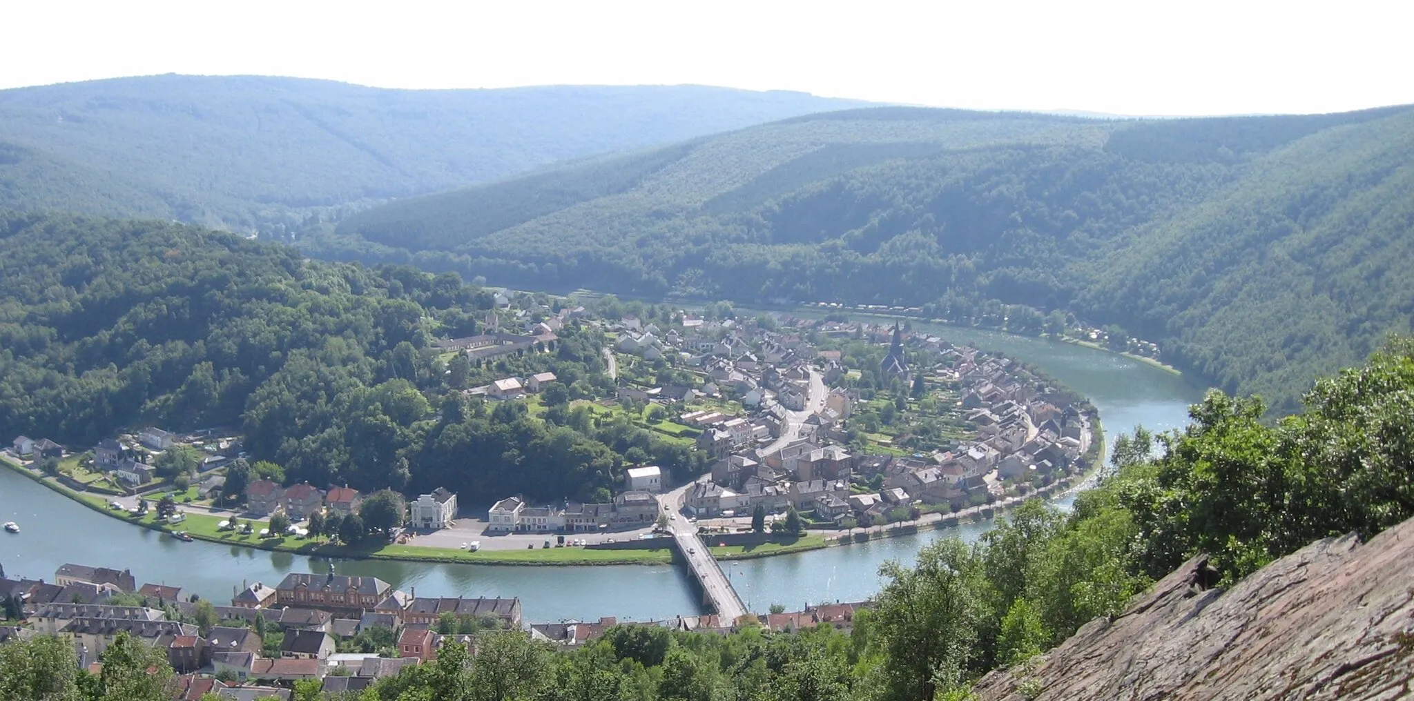
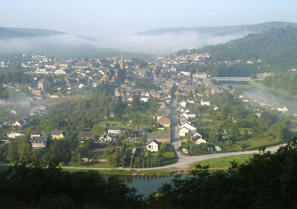
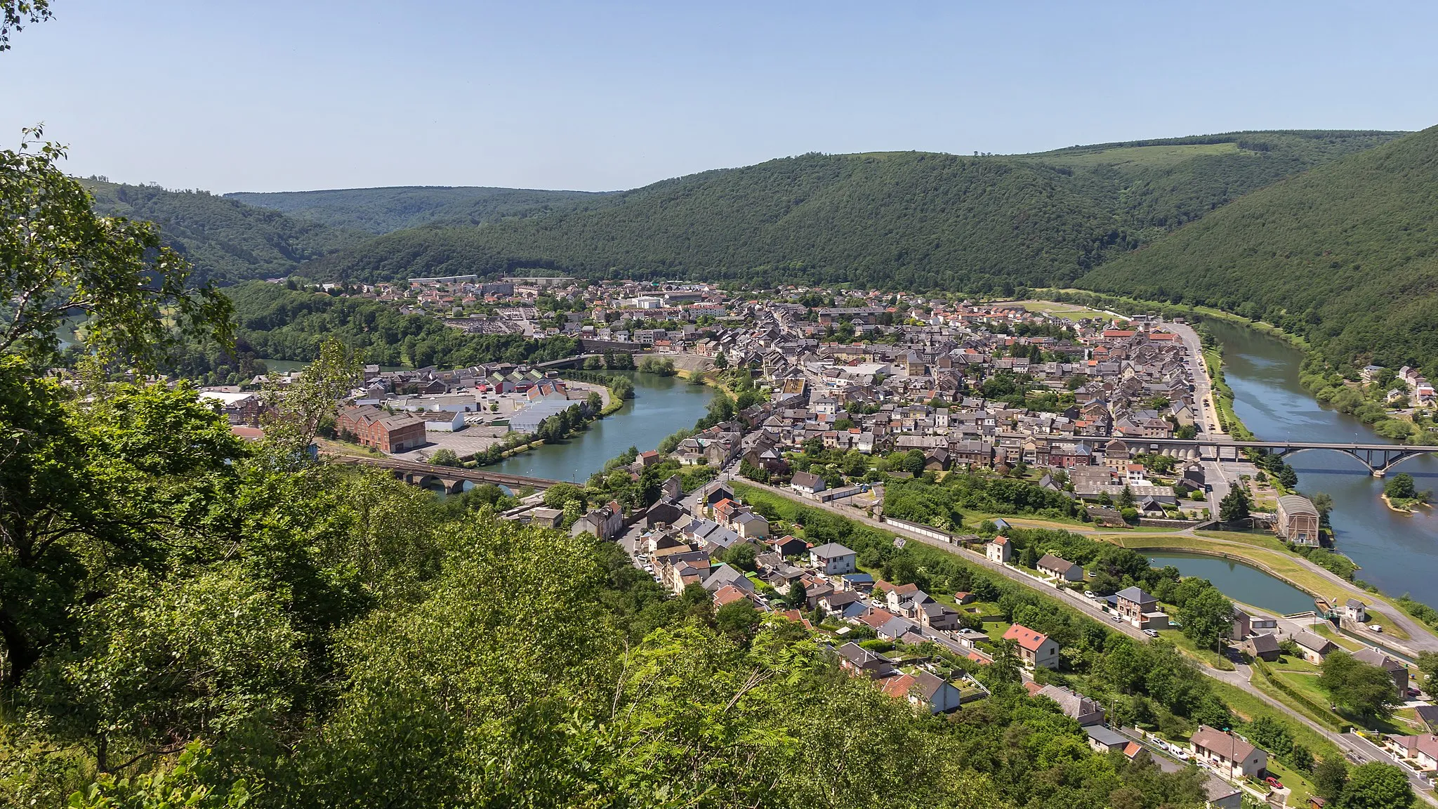
Start: Les Hautes-Rivières Village centerLes Hautes-Rivières: Cyclist's haven in the Ardennes Forest
Les Hautes-Rivières, located in the Champagne-Ardenne region of France, is a cycling paradise with its hilly terrain and stunning natural scenery. The area offers challenging climbs and thrilling descents, attracting both road and gravel cyclists. Cyclists can explore the breathtaking Ardennes Forest and ride along the picturesque Meuse River. Les Hautes-Rivières is also renowned for its role in the professional cycling race, Liège–Bastogne–Liège. This locality provides an unforgettable cycling experience for those seeking a challenging ride in a beautiful natural setting.0 km
0 km
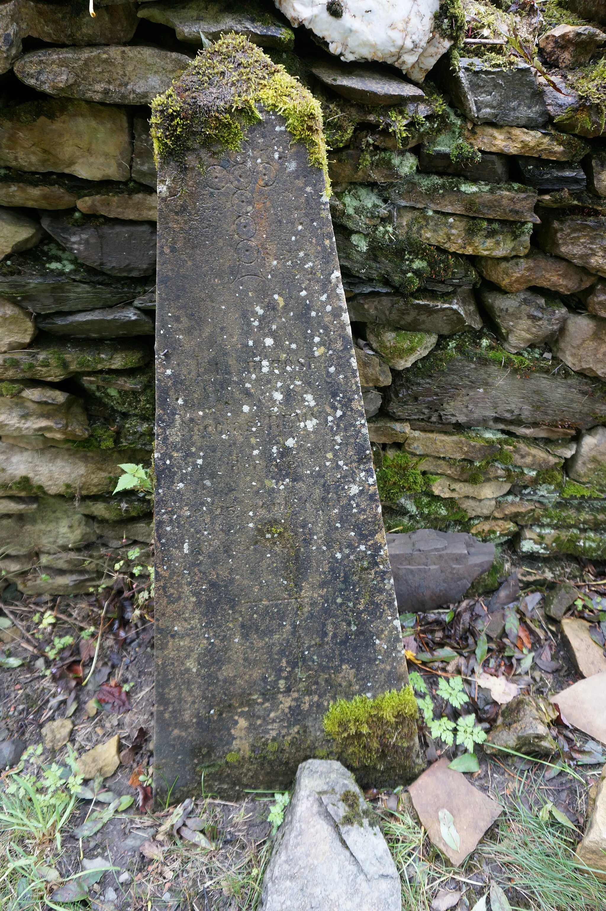
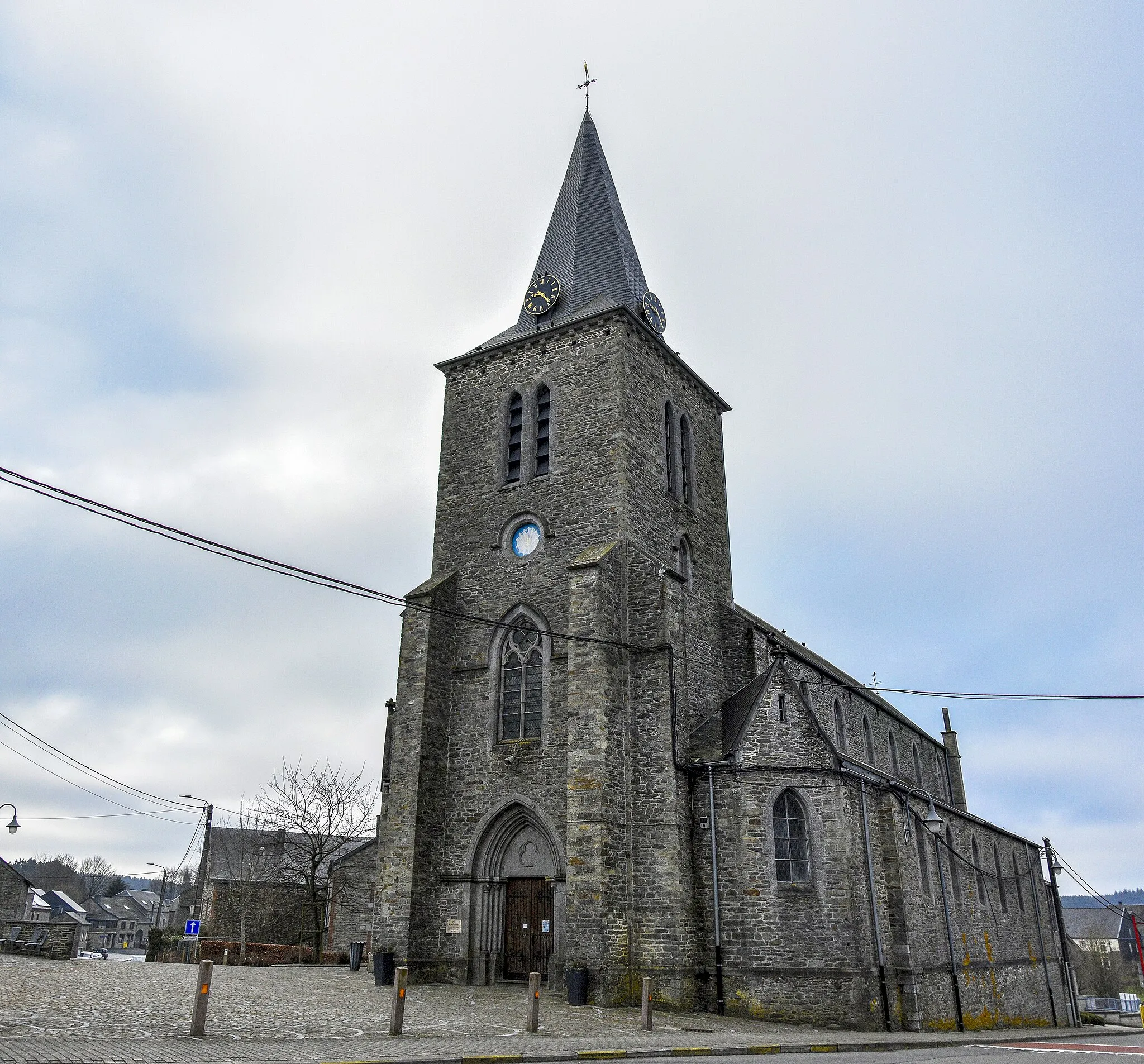
La roche MargotViewpointDiscover La roche Margot, a remarkable rock formation with a rich history.
13 km
13 km
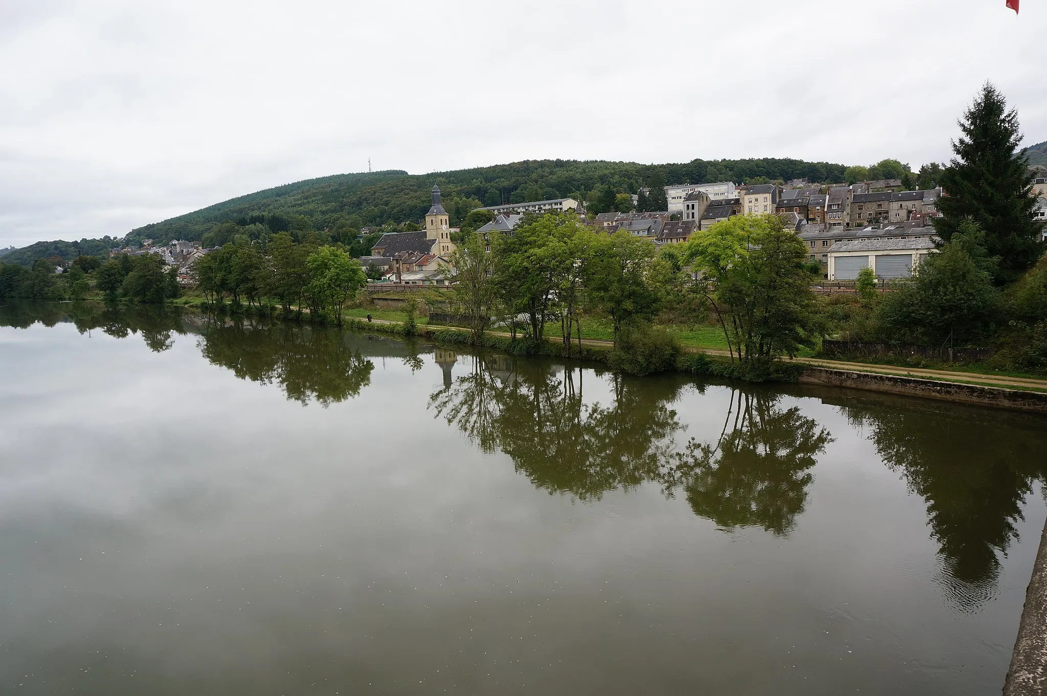
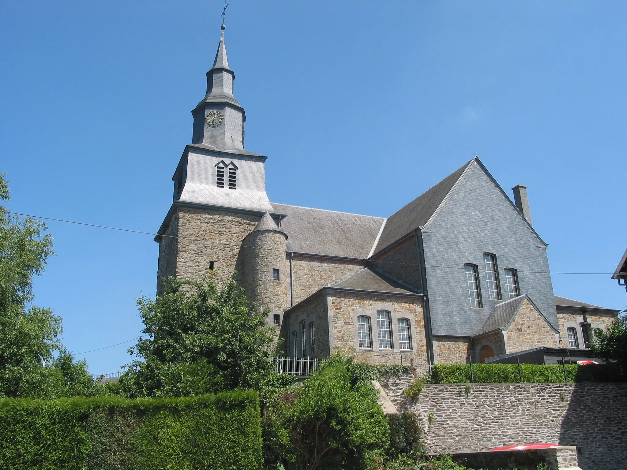
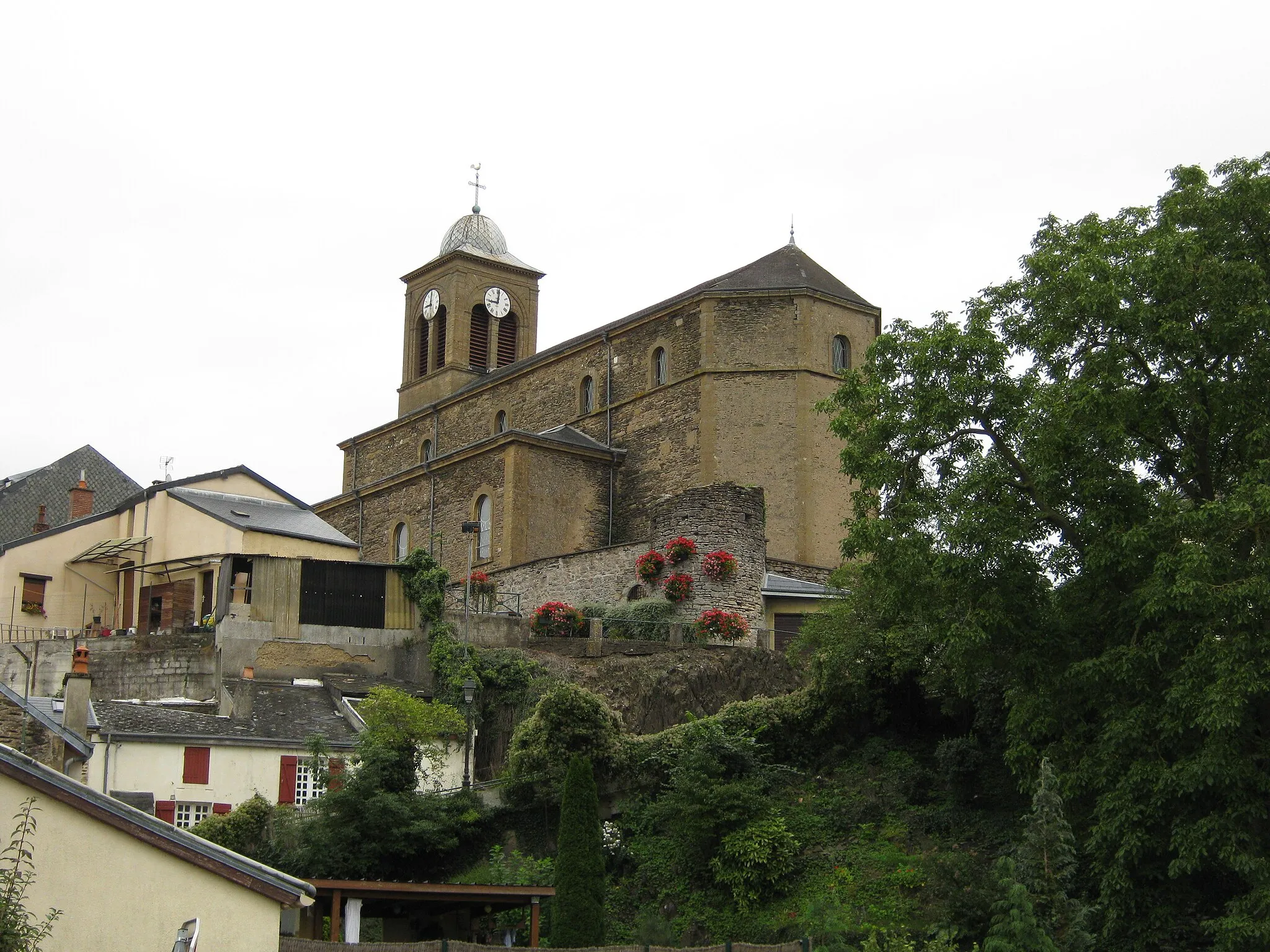
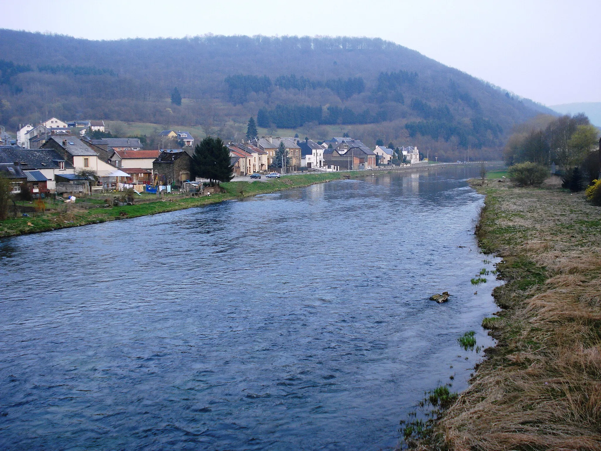
Vresse-sur-SemoisVillageExperience the charm of Vresse-sur-Semois, a tranquil village known for its picturesque setting and old-world charm.
23 km
23 km
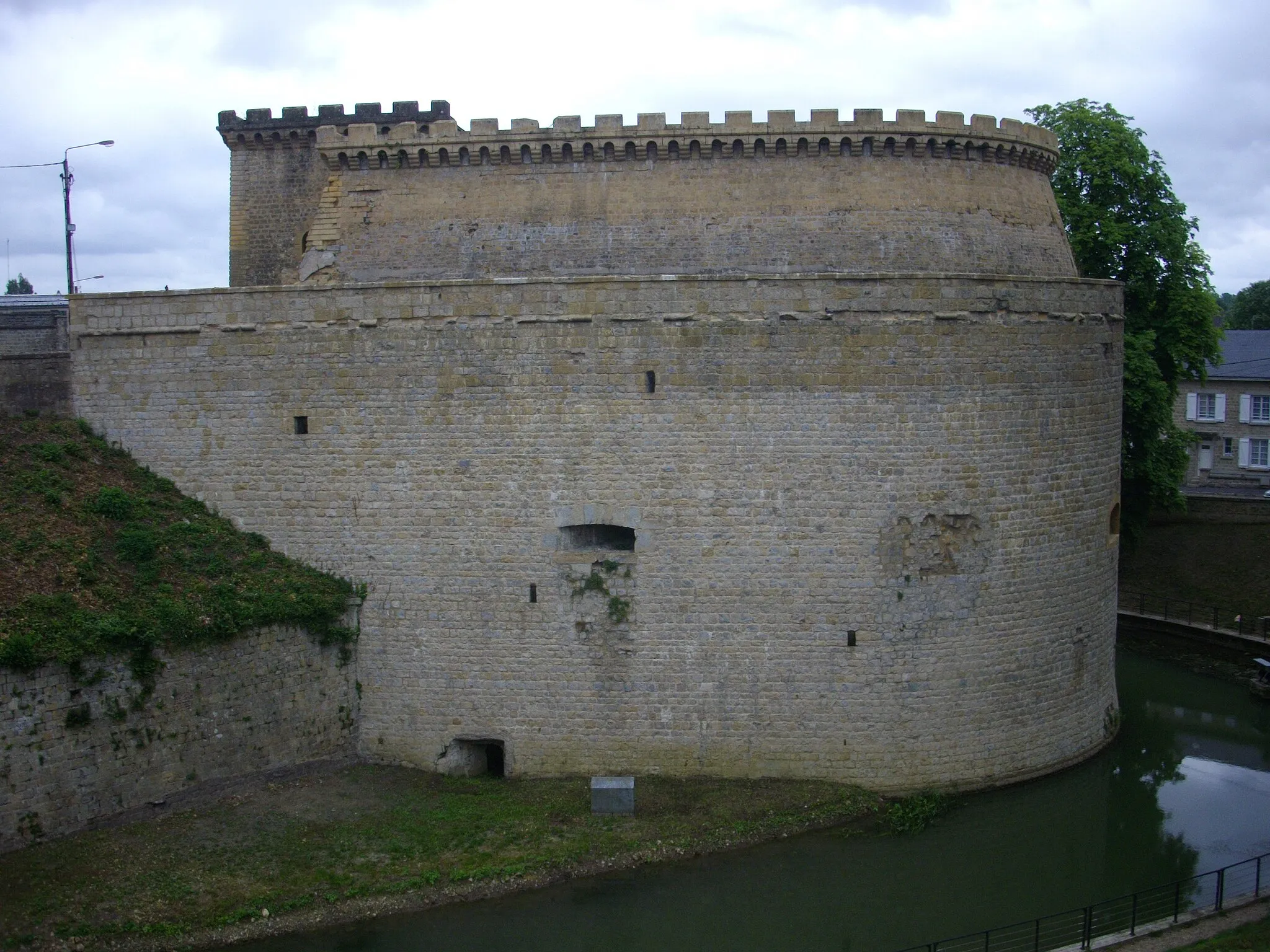
PoupehanVillageVisit Poupehan, a small village surrounded by lush forests and offering serene landscapes.
23 km
23 km
Point de vue Chaire à PrêcherViewpointEnjoy panoramic views from the Chaire à Prêcher viewpoint, overlooking the beautiful surroundings.
34 km
34 km
BagimontVillageStop by Bagimont and admire its traditional architecture while taking in the peaceful atmosphere.
44 km
44 km
Finish: Les Hautes-Rivières Village centerLes Hautes-Rivières: Cyclist's haven in the Ardennes Forest
Cycling routes from Les Hautes-Rivieres:
The Gravel Adventure The Road Adventure Les Hautes-Rivières Circuit A Trail Through the Wilderness Scenic Delights Givet Grand Loop Bouillon Loop Journey Across the Ardennes Gravel Adventure in the Ardennes Sormonne Scenic Route Picturesque Road Tour to Les Hautes-Rivières Gravel Route to La roche Margot Scenic Gravel Trek to Ancienne Gare Les Hautes-Rivières
Cycling routes nearby: