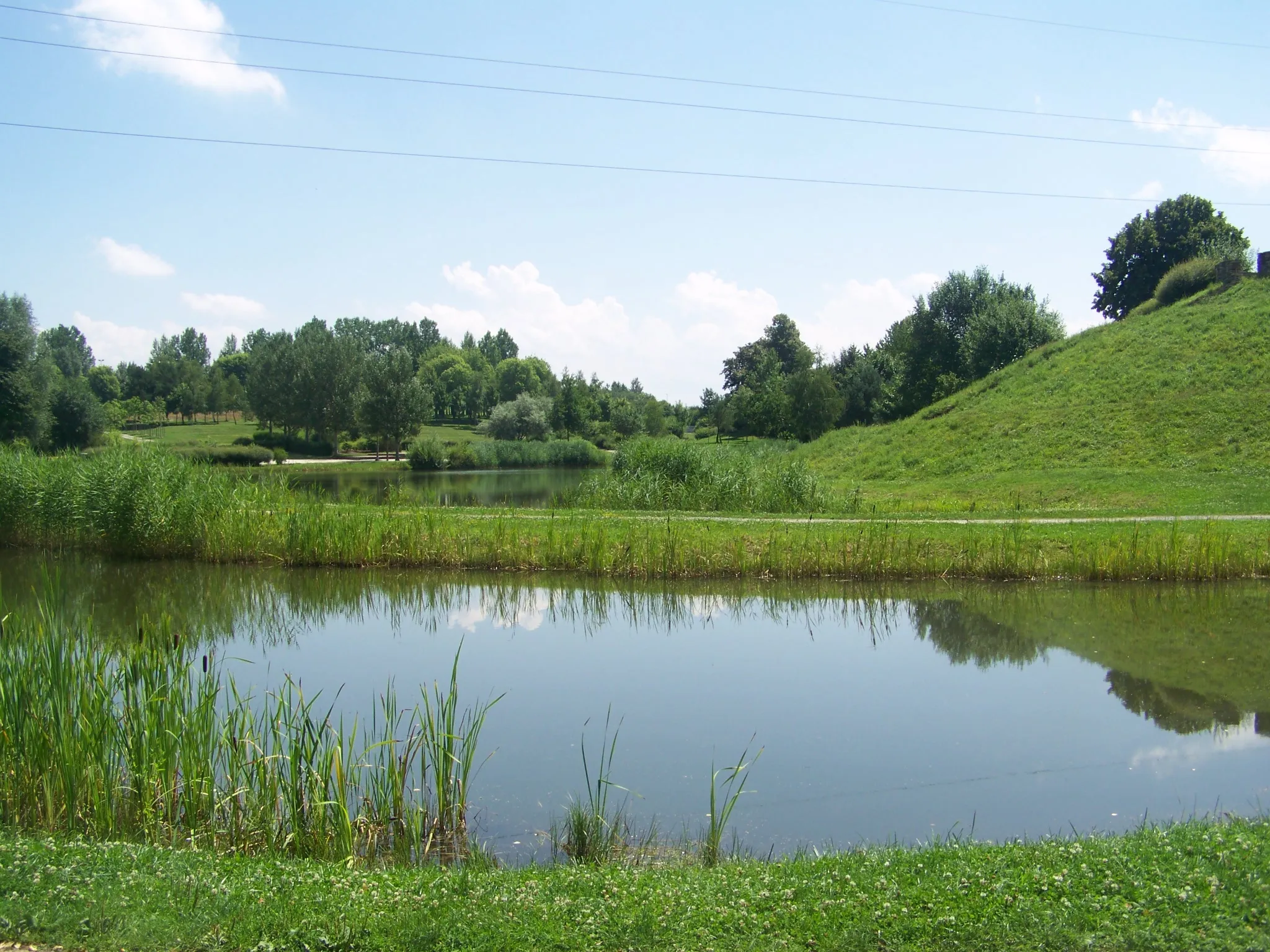
Tranquil countryside for leisurely rides.
Cycling routes from Bavilliers
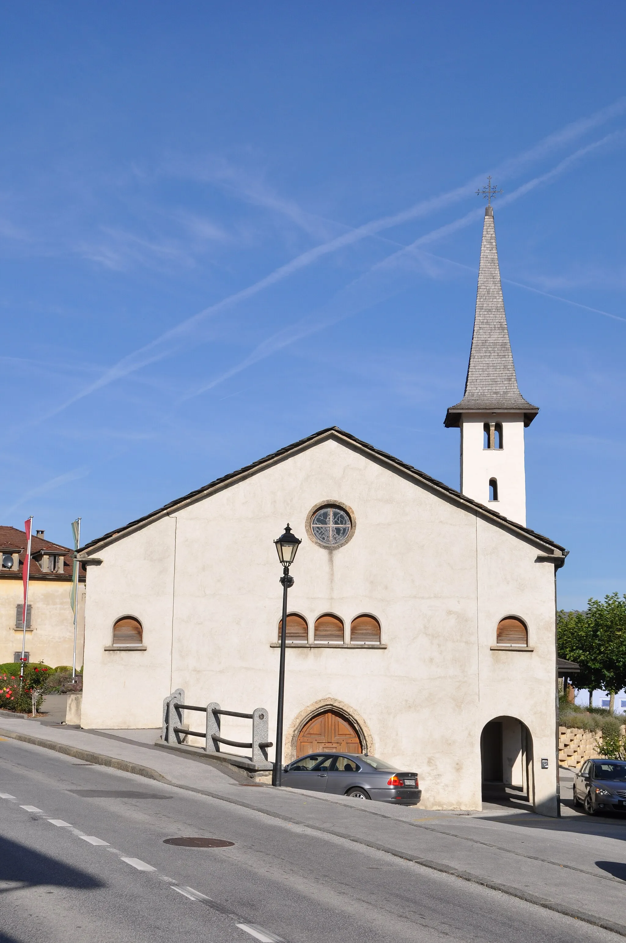
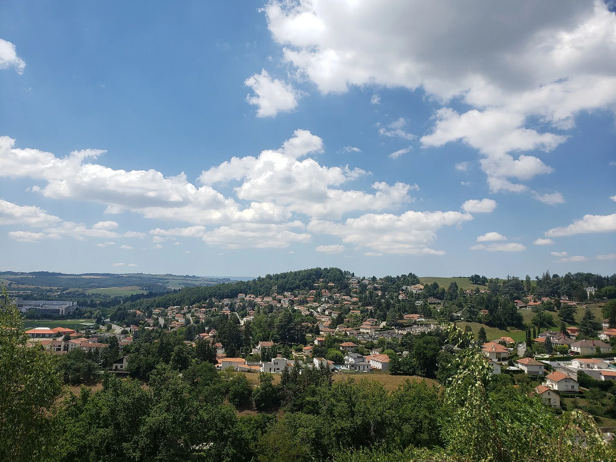
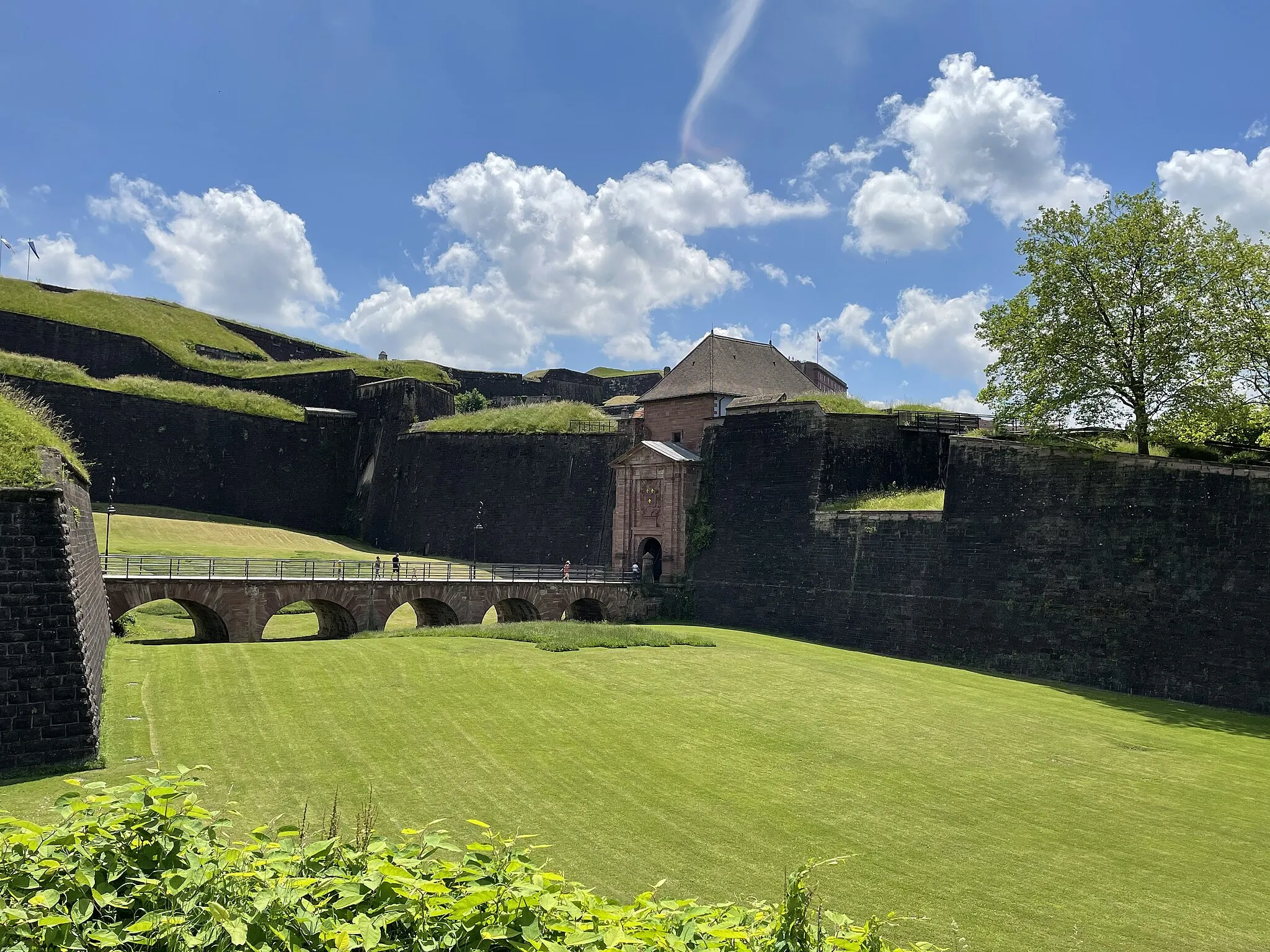
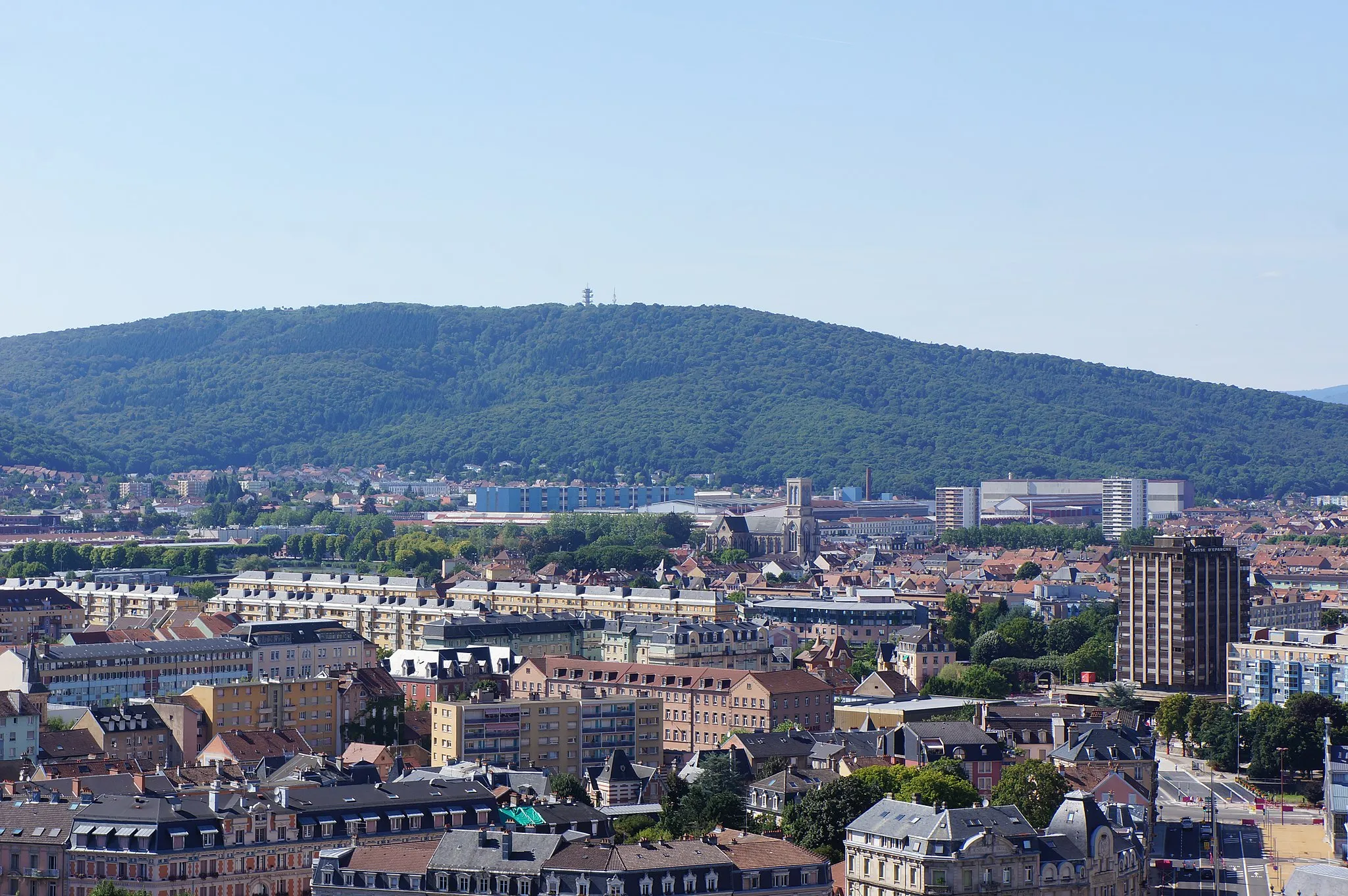
Bavilliers, located in Franche-Comté, France, is not particularly known as a cycling hotspot. The region offers mainly flat terrains, which may not appeal to road and gravel cyclists seeking varied terrain and challenging climbs. While Bavilliers may not be the most exciting destination for cycling enthusiasts, it still provides opportunities for leisurely rides in a peaceful and scenic environment.
Bavilliers Gravel Ride
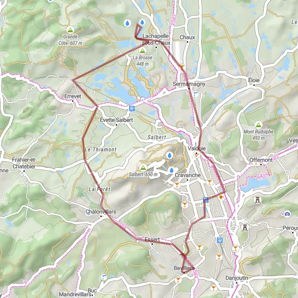
Embark on a gravel adventure from Bavilliers
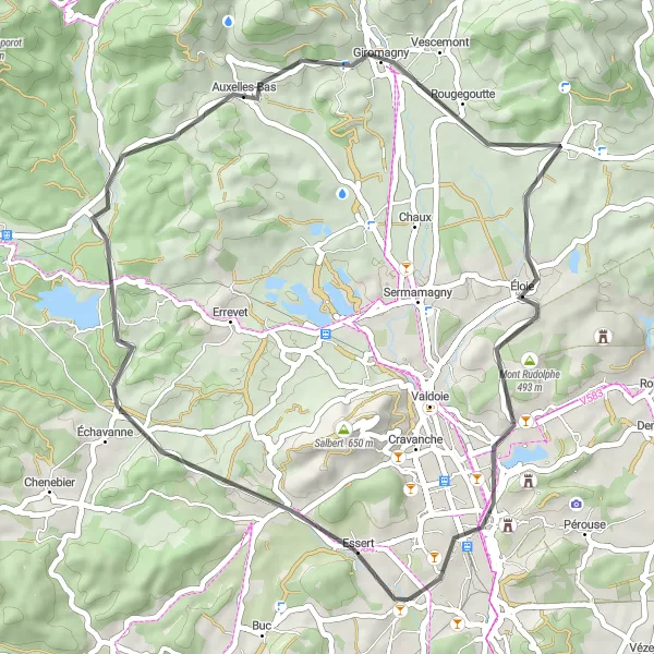
This gravel cycling route starting from Bavilliers offers a unique off-road experience. Covering a distance of 31 kilometers and with an ascent of 207 meters, it is suitable for cyclists looking for a mix of challenging terrain and scenic beauty. The route takes you through Errevet, La Brosse, and Bavilliers itself, offering diverse landscapes and picturesque views. Explore the rugged beauty of Franche-Comté as you ride along gravel paths and discover hidden gems along the way. This route is perfect for adventure seekers and gravel enthusiasts.
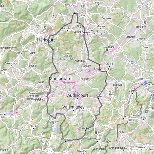
Embark on a scenic road cycling journey from Dambenois to Brevilliers
This road cycling route takes you from Dambenois to Brevilliers, covering a total distance of 71 kilometers and an ascent of 720 meters. Suitable for well-trained amateur cyclists, this route offers a moderate level of difficulty while showcasing the natural beauty of the Franche-Comté region. Along the way, you will pass through Dasle and Mandeure, offering a mix of charming villages and scenic landscapes. The highlight of this route is the Belvédère de Mandeure, where you can enjoy panoramic views of the surrounding area. Cycling through Rock and Brevilliers allows you to experience the rich cultural heritage of this region. Immerse yourself in the history and beauty of Franche-Comté as you ride along this scenic route.
Enjoy a relaxed gravel ride and explore the picturesque villages of Franche-Comté.
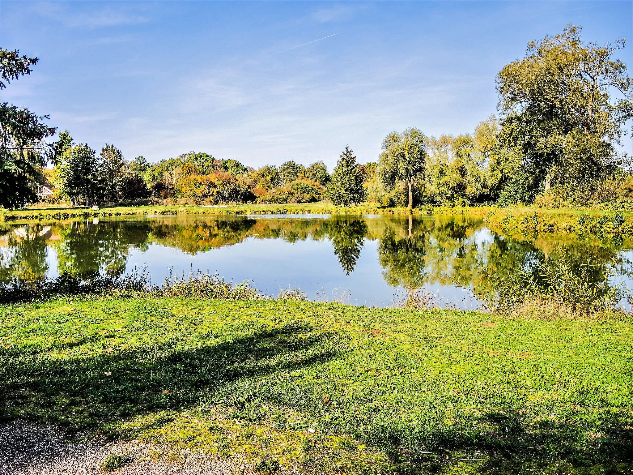
The Leisurely Ride around Franche-Comté is perfect for cyclists who want to enjoy a scenic and leisurely exploration of the region's captivating beauty. With an ascent of 1048 meters and a distance of 81 kilometers, this route provides a gentle challenge suitable for all skill levels. Along the way, you'll discover charming villages, lush landscapes, and historical landmarks. Take your time to savor the flavors of the local cuisine and admire the warmth of the locals.
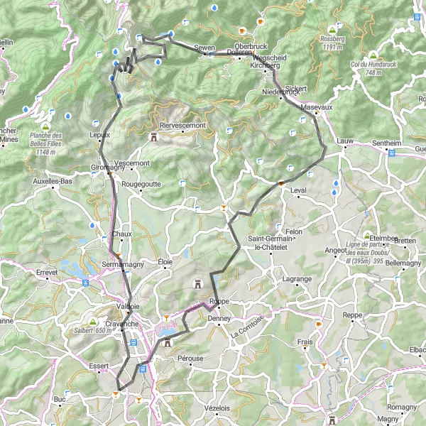
Conquer the famous Ballon d'Alsace and more
This round-trip cycling route is perfect for adventurous cyclists who want to experience the iconic Ballon d'Alsace climb. Starting from Bavilliers, the route covers a distance of 77 km and involves an ascent of 1188 meters. The route takes you through picturesque landscapes and historic towns, including Giromagny, Oberbruck, and Mont Marty. With a difficulty level of 4, this route is suitable for experienced cyclists who are prepared for challenging climbs. The epicness score is 4, reflecting the legendary status of the Ballon d'Alsace climb and the stunning scenery along the way. Highlights include the famous Ballon d'Alsace, a legendary climb that has been featured in the Tour de France multiple times. Oberbruck, with its charming half-timbered houses, and Mont Marty, known for its beautiful abbey ruins, are also worth exploring.
Argiésans Gravel Route
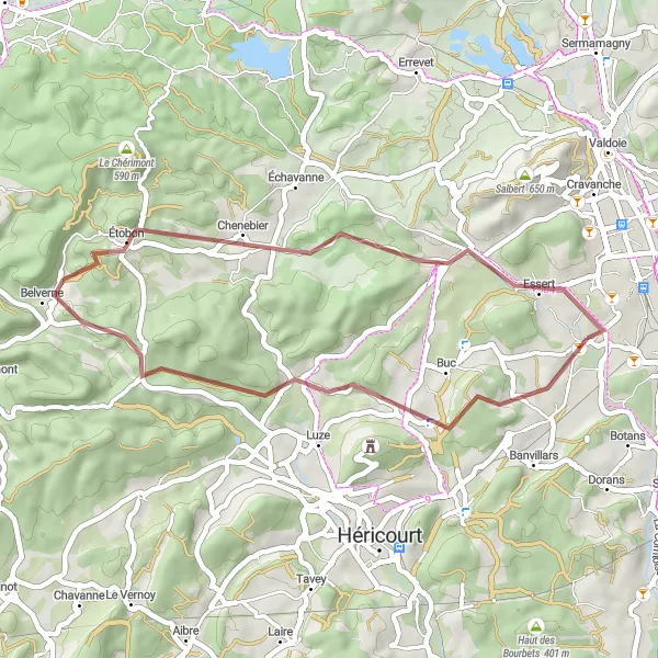
Explore the charming village of Argiésans on this scenic gravel route near Bavilliers.
This gravel route offers a picturesque cycling experience near Bavilliers. As you pedal through the Franche-Comté region, you'll meander through beautiful landscapes and encounter small villages along the way. The route has a moderate difficulty level, making it suitable for well-trained amateur cyclists. With a distance of 35 kilometers and an ascent of 584 meters, this route provides a enjoyable challenge.
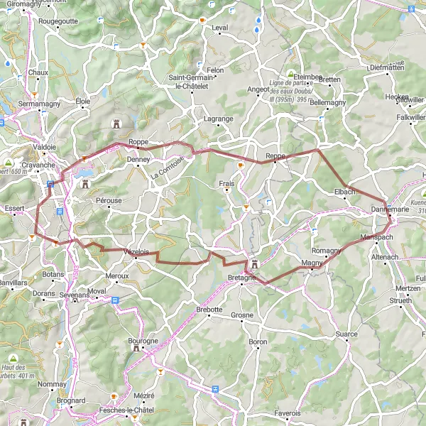
Embark on a scenic gravel route and discover the hidden gems near Denney.
The Denney Gravel Exploration route allows you to experience the charm of Franche-Comté's countryside on a gravel adventure. With an ascent of 433 meters and a distance of 57 kilometers, this route is suitable for cyclists seeking a moderate challenge. Along the way, you'll pass through quaint villages, rolling hills, and peaceful landscapes. Take your time to absorb the tranquility and immerse yourself in the beauty of nature.
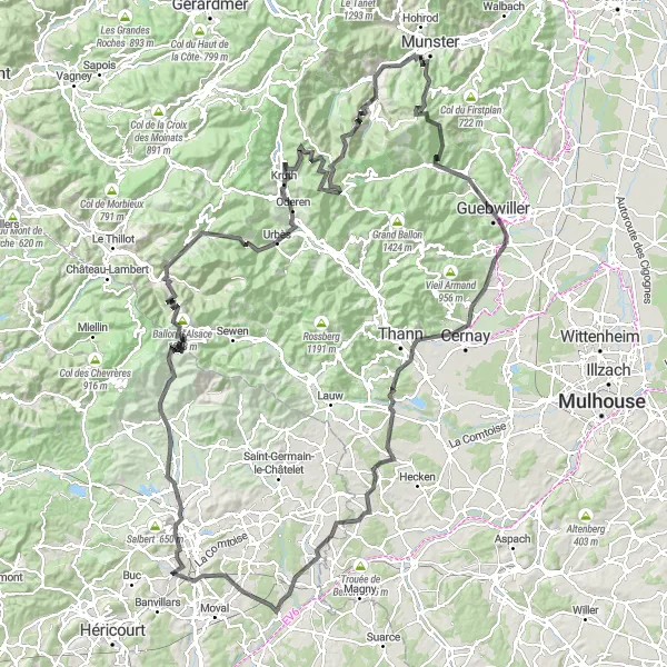
Embark on an epic road cycling adventure through breathtaking mountainous landscapes.
The Circuito delle Montagne is a true test of endurance and will leave you in awe of the Franche-Comté region's natural beauty. With an ascent of 3441 meters and a distance of 185 kilometers, this route is challenging but incredibly rewarding. You'll encounter iconic cycling spots such as Ballon d'Alsace and Col de Bussang, each offering stunning panoramic views. Road cyclists will appreciate the well-maintained roads and varied terrain. This route is best suited for experienced cyclists due to its difficulty level.
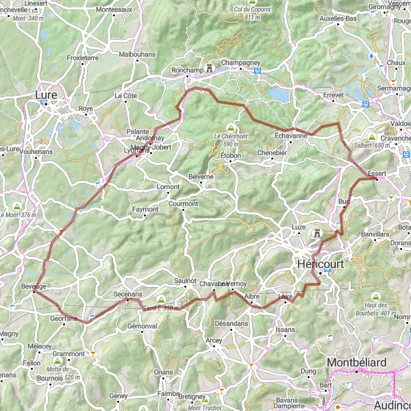
Gravel Adventure

Experience off-road cycling on this gravel adventure
If you enjoy off-road cycling and exploring less-traveled paths, this gravel adventure starting from Bavilliers is the perfect choice for you. Covering a distance of 83 km and featuring an ascent of 1600 meters, this route offers a challenging and thrilling experience for gravel cyclists. The route takes you through diverse landscapes and rural villages, offering a unique perspective on the Franche-Comté region. With a difficulty level of 5, this route is only recommended for experienced off-road cyclists. The epicness score is 4, reflecting the adventurous nature of the route and the scenic beauty of the landscapes. Highlights along the route include Chagey, a charming village with traditional architecture and a peaceful atmosphere. The Terril de Magny-Danigon (crassier) offers a unique sight, with its imposing slag heap towering over the surrounding countryside. Belfahy showcases the natural beauty of the region, with its lush green forests and stunning views. Finally, Essert invites you to explore its tranquil streets and immerse yourself in the history of the area.
Châlonvillars Explorer
Embark on a cycling adventure to Châlonvillars and beyond
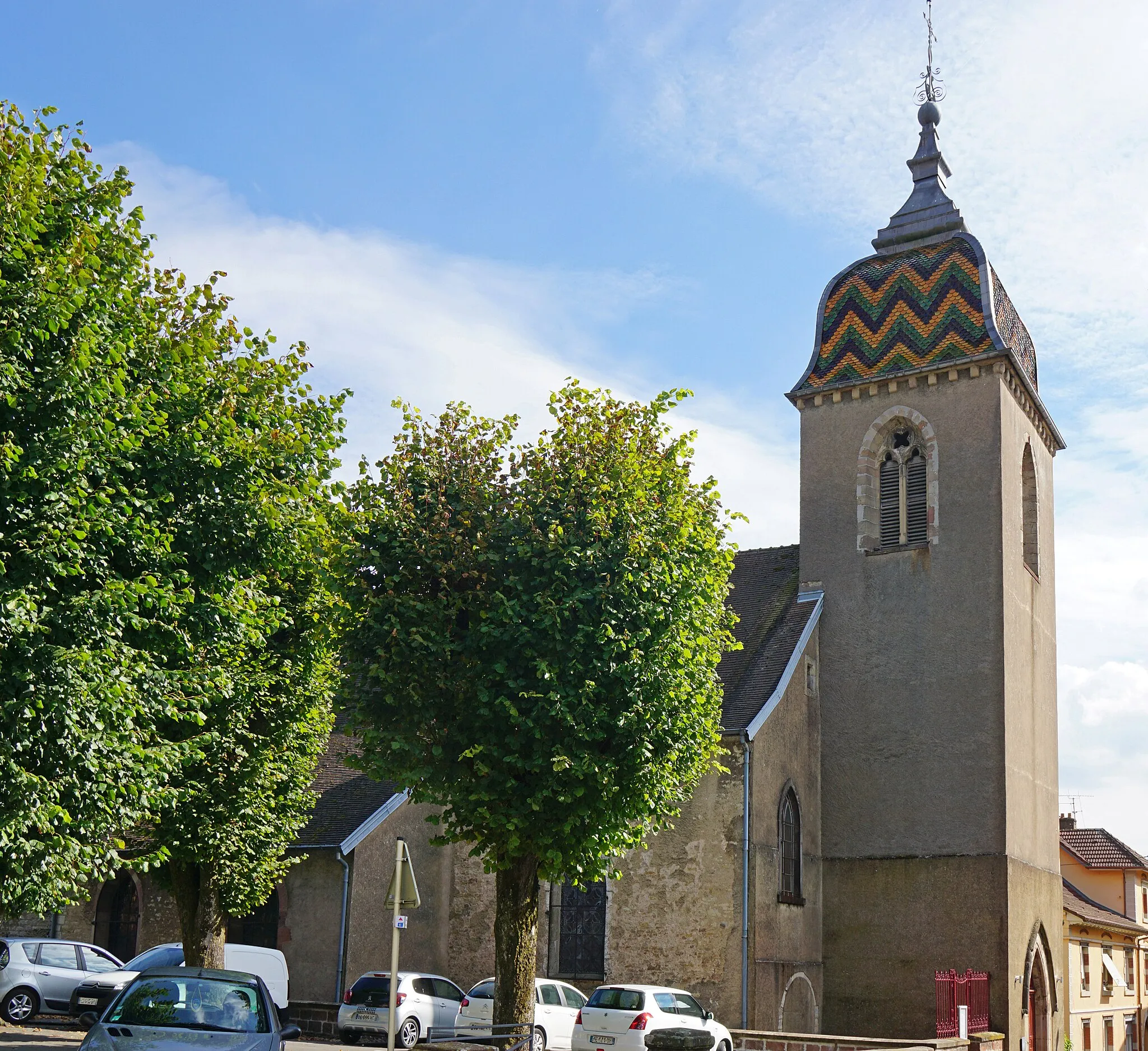
This round-trip cycling route starting from Bavilliers takes you to the scenic town of Châlonvillars and back. Covering a distance of 44 km with an ascent of 474 meters, this route offers a slightly easier challenge compared to the previous one. You'll pedal through picturesque landscapes and charming villages, including Le Haut Biez and Auxelles-Haut. The difficulty level for this route is rated at 2, making it suitable for most cyclists. The epicness score is 3, reflecting the beautiful scenery along the way. Highlights of this route include Châlonvillars, a picturesque town known for its historical buildings and enchanting atmosphere. Piton d'Éloie is also worth a visit, offering panoramic views of the surrounding countryside.
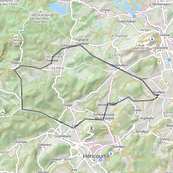
Explore the charming village of Échenans-sous-Mont-Vaudois
This road cycling route takes you from Bavilliers to the picturesque village of Échenans-sous-Mont-Vaudois. With a total distance of 33 kilometers and an ascent of 437 meters, it offers a moderate challenge suitable for well-trained amateur cyclists. The route passes through Chenebier and Châlonvillars along the way, allowing you to discover these charming towns. Cycling through the Franche-Comté region offers breathtaking views of the surrounding countryside and showcases the natural beauty of the area. Enjoy the diverse landscapes and immerse yourself in the peaceful ambiance of this scenic route.
Cycling routes nearby:
Nearby regions: