![Cover image](https://images.tarmacs.app/cycling-routes/covers/france/franche-comte/cravanche-5.webp)
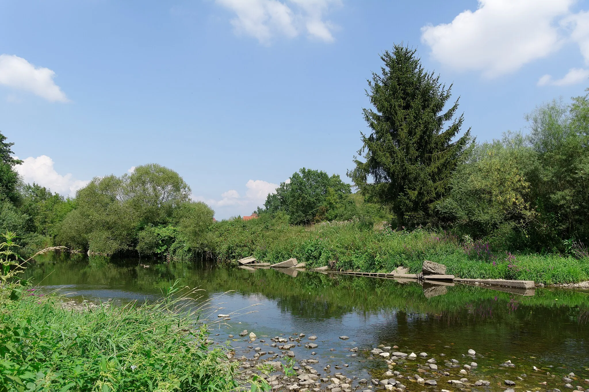
Picturesque rides through charming countryside in Franche-Comté.
Cycling routes from Cravanche
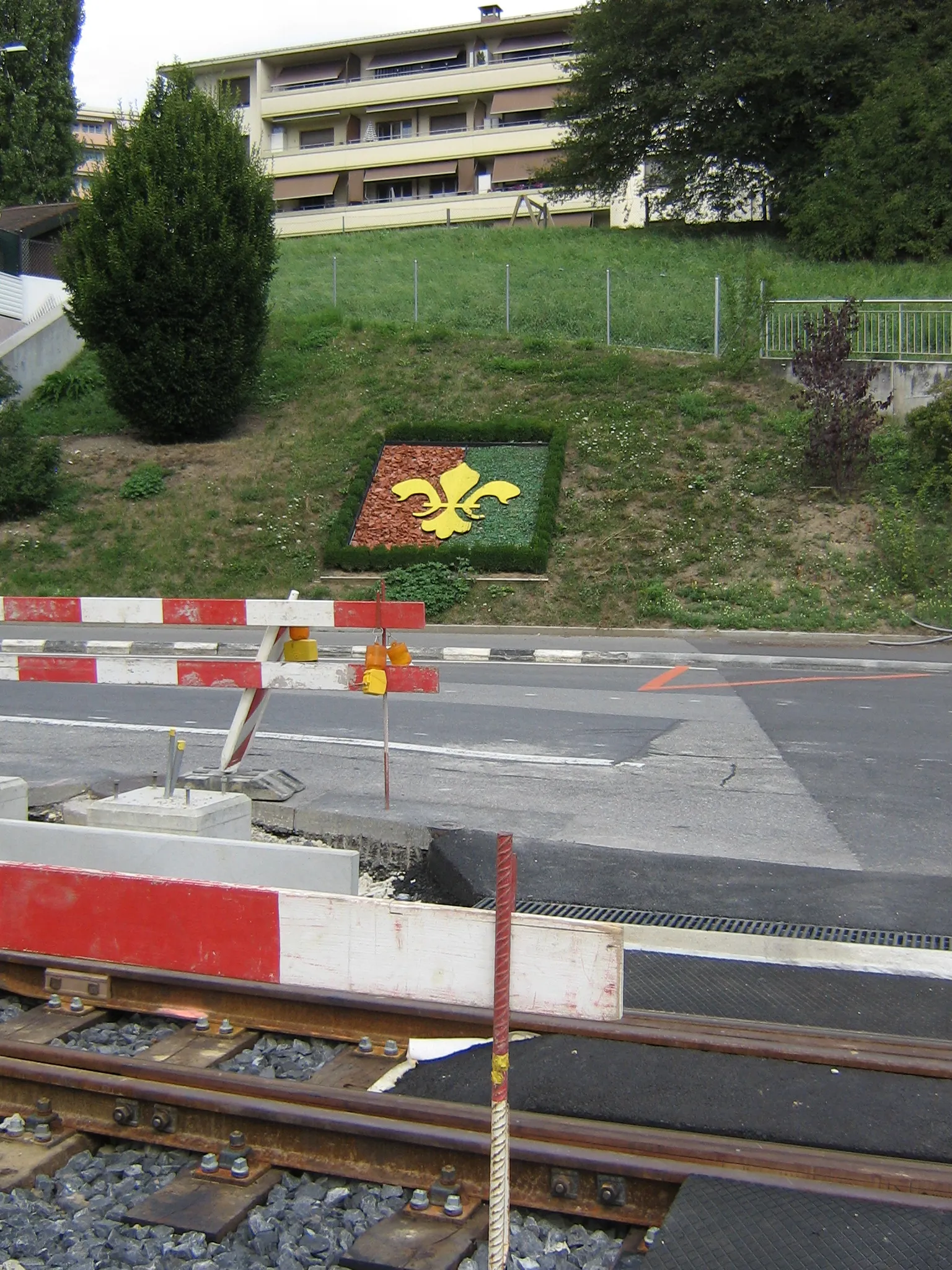
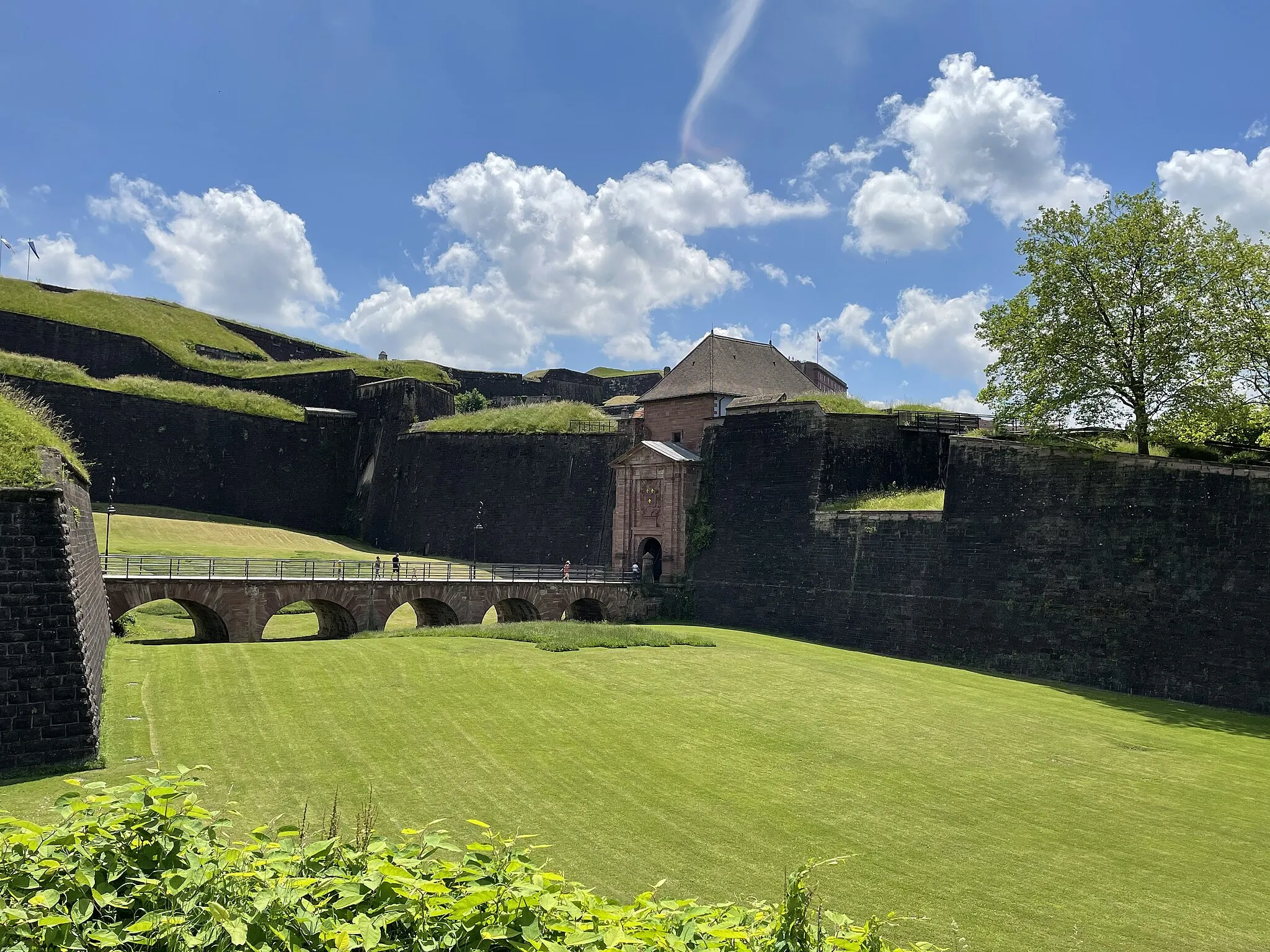
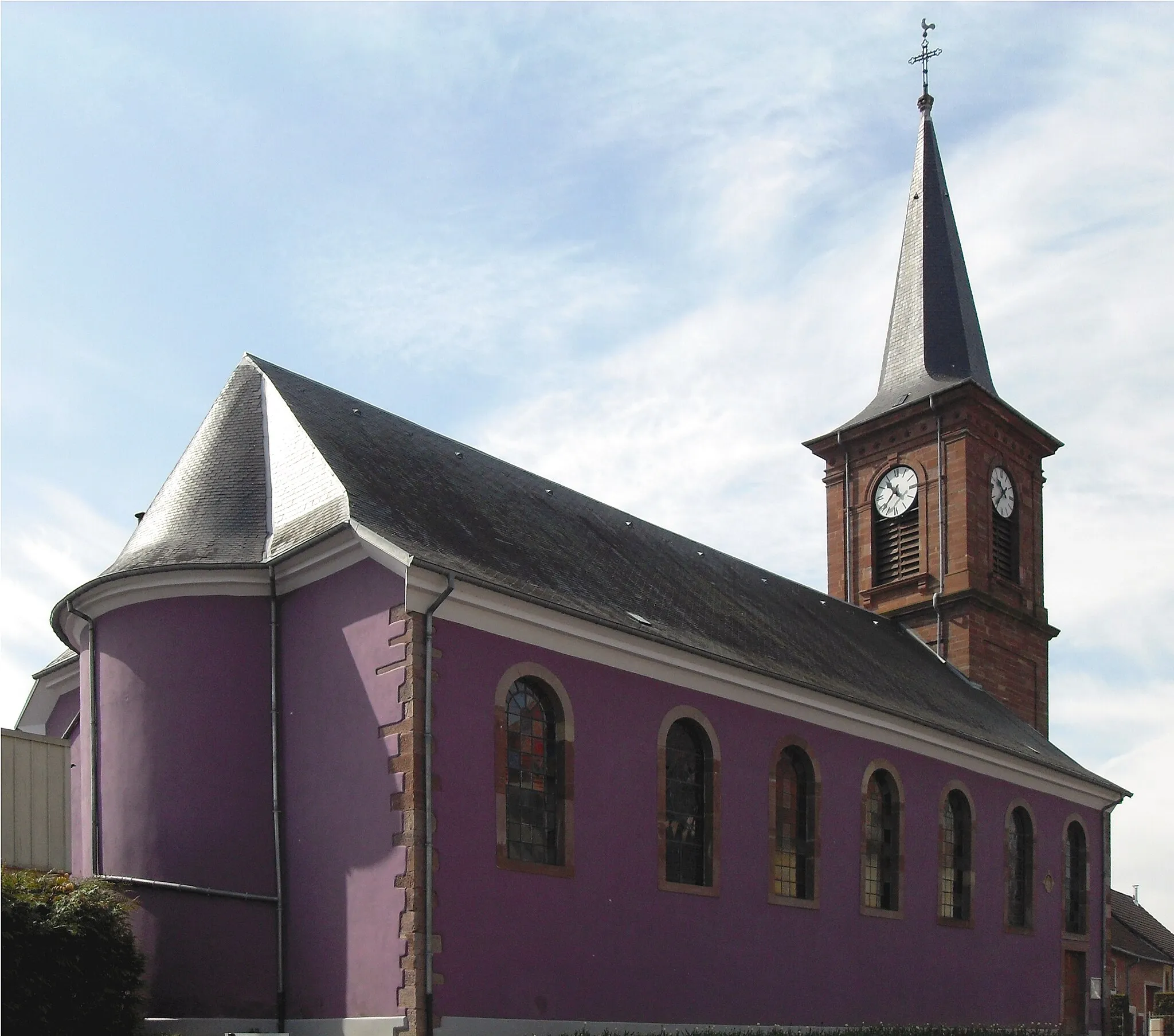
Cravanche, located in Franche-Comté, France, is a small town that offers excellent cycling opportunities. From the perspective of a road and gravel cyclist, Cravanche boasts well-maintained roads and picturesque landscapes. Cyclists can enjoy peaceful rides through the countryside, surrounded by rolling hills and charming villages. Cravanche is also close to some popular cycling routes, including challenging climbs that attract serious cyclists. The town itself has cycling-friendly amenities like bike racks and repair stations, catering to the needs of cycling enthusiasts. Overall, Cravanche is a delightful destination for cyclists looking to explore the beauty of Franche-Comté.
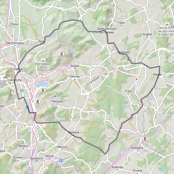
Éloie - Meroux
![Map miniature of "Éloie - Meroux" cycling inspiration in Franche-Comté, France. Generated by Tarmacs.app cycling route planner](https://images.tarmacs.app/cycling-routes/routemaps/600/france/franche-comte/cravanche/road/281151.webp)
Embark on a scenic road cycling journey from Éloie to Meroux
This 95-km road route is perfect for road biking enthusiasts seeking picturesque landscapes and moderate elevation gains. With an ascent of 886 meters, the route offers a mix of challenging climbs and pleasant descents. The highlights along the route include breathtaking views from various viewpoints.
![Map miniature of "Échavanne - Haut du Mont" cycling inspiration in Franche-Comté, France. Generated by Tarmacs.app cycling route planner](https://images.tarmacs.app/cycling-routes/routemaps/600/france/franche-comte/cravanche/gravel/281149.webp)
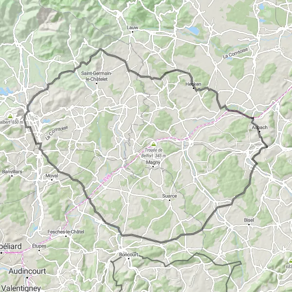
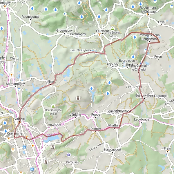
Explore the beautiful landscapes of Franche-Comté on this gravel route
This 28-km gravel route offers a short but challenging ride for experienced cyclists. With an ascent of 322 meters, the route takes you through stunning landscapes and rural villages.
Valdoie - Lepuix
![Map miniature of "Valdoie - Lepuix" cycling inspiration in Franche-Comté, France. Generated by Tarmacs.app cycling route planner](https://images.tarmacs.app/cycling-routes/routemaps/600/france/franche-comte/cravanche/gravel/281207.webp)
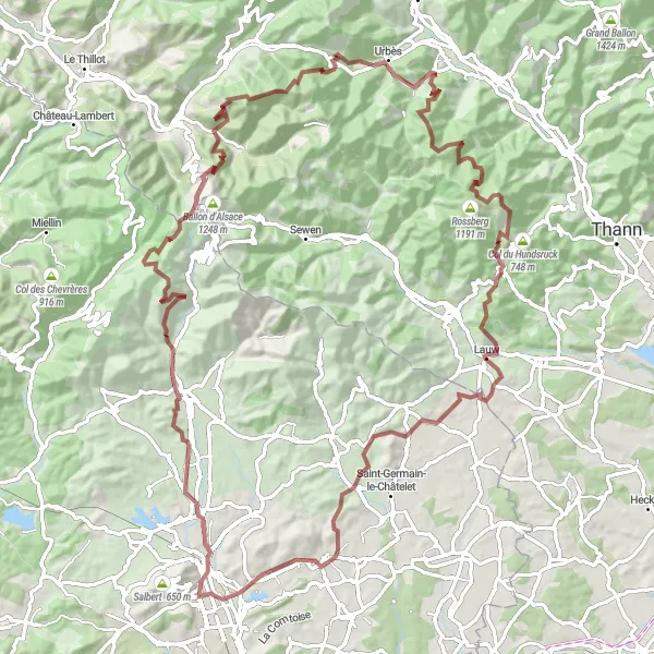
Ride through the picturesque villages and breathtaking landscapes from Valdoie to Lepuix
This 100-km gravel route offers a unique cycling experience with a total ascent of 2934 meters. It takes you through stunning scenery, including the iconic Col du Ballon d'Alsace. The route is challenging, making it suitable for well-trained amateurs.
![Map miniature of "Road Route through Haut du Mont and Villersexel" cycling inspiration in Franche-Comté, France. Generated by Tarmacs.app cycling route planner](https://images.tarmacs.app/cycling-routes/routemaps/600/france/franche-comte/cravanche/road/281187.webp)
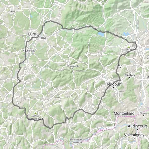
Embark on a challenging road route and discover the breathtaking views from Haut du Mont and the historic town of Villersexel.
This road route presents a challenge for experienced cyclists, with an ascent of 1046 m and a total distance of 107 km. Highlights of this route include the breathtaking views from Haut du Mont and the historic town of Villersexel. This route offers a mix of challenging climbs, scenic landscapes, and cultural attractions.
![Map miniature of "Gravel Route through Éloie and Panorama sur Belfort Nord" cycling inspiration in Franche-Comté, France. Generated by Tarmacs.app cycling route planner](https://images.tarmacs.app/cycling-routes/routemaps/600/france/franche-comte/cravanche/gravel/281154.webp)
A gravel route showcasing the picturesque towns of Éloie and the stunning views from Panorama sur Belfort Nord.
This gravel route offers a unique cycling experience through the charming town of Éloie and provides breathtaking views from Panorama sur Belfort Nord. With a total distance of 34 km and an ascent of 262 m, this route is suitable for both beginners and experienced cyclists.
![Map miniature of "Panorama sur Belfort Nord - Bavilliers" cycling inspiration in Franche-Comté, France. Generated by Tarmacs.app cycling route planner](https://images.tarmacs.app/cycling-routes/routemaps/600/france/franche-comte/cravanche/gravel/281193.webp)
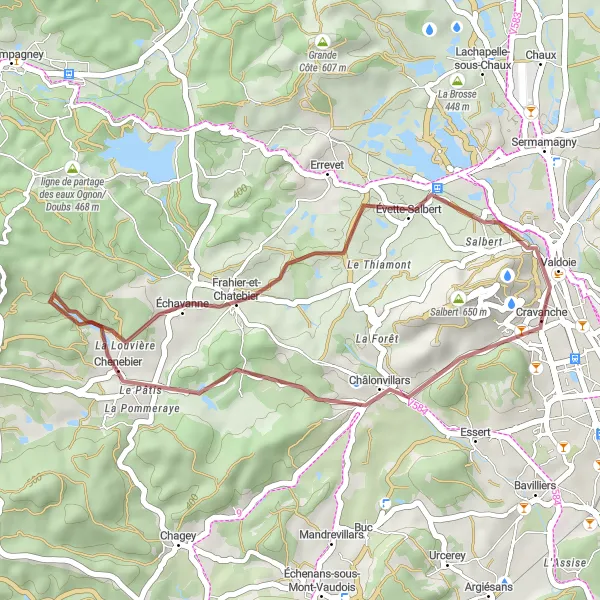
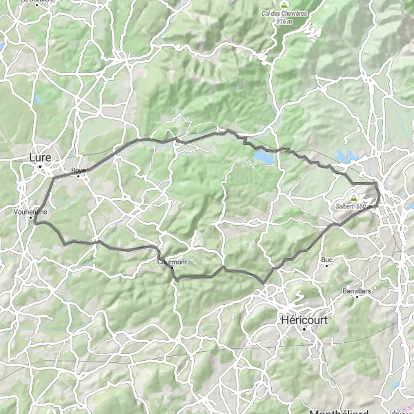
Experience the beauty of Franche-Comté on this gravel cycling route
With a distance of 57 km and an ascent of 482 meters, this gravel route provides a moderate challenge suitable for intermediate cyclists. Highlights along the route include stunning panoramas of Belfort and a visit to the picturesque village of Fêche-l'Église.
![Map miniature of "Road Route through Haut du Mont and Ronchamp" cycling inspiration in Franche-Comté, France. Generated by Tarmacs.app cycling route planner](https://images.tarmacs.app/cycling-routes/routemaps/600/france/franche-comte/cravanche/road/281161.webp)
Embark on a road route featuring challenging climbs up Haut du Mont and exploring the charms of Ronchamp.
This road route is designed for experienced cyclists seeking a challenging ride. With an ascent of 687 m and a distance of 67 km, this route takes riders on a journey through the picturesque Haut du Mont and the charming town of Ronchamp. This route offers a mix of scenic beauty, challenging climbs, and cultural exploration.
![Map miniature of "Road Route through Piton d'Éloie and Panorama sur Belfort Nord" cycling inspiration in Franche-Comté, France. Generated by Tarmacs.app cycling route planner](https://images.tarmacs.app/cycling-routes/routemaps/600/france/franche-comte/cravanche/road/281185.webp)
Embark on a road route and explore the scenic beauty of Piton d'Éloie and Panorama sur Belfort Nord.
This road route takes cyclists through the captivating Piton d'Éloie and offers an opportunity to enjoy the breathtaking views from Panorama sur Belfort Nord. With a total distance of 47 km and an ascent of 259 m, this route is suitable for intermediate cyclists seeking a mix of natural beauty and cultural attractions.
![Map miniature of "Panorama sur Belfort Nord - Sermamagny" cycling inspiration in Franche-Comté, France. Generated by Tarmacs.app cycling route planner](https://images.tarmacs.app/cycling-routes/routemaps/600/france/franche-comte/cravanche/road/281157.webp)
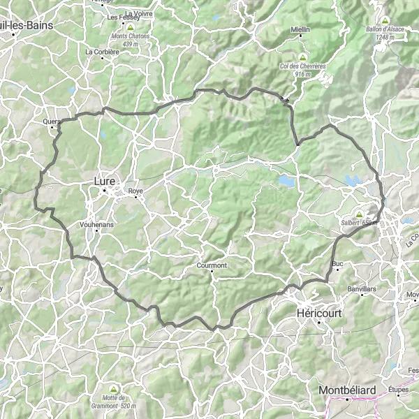
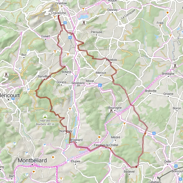
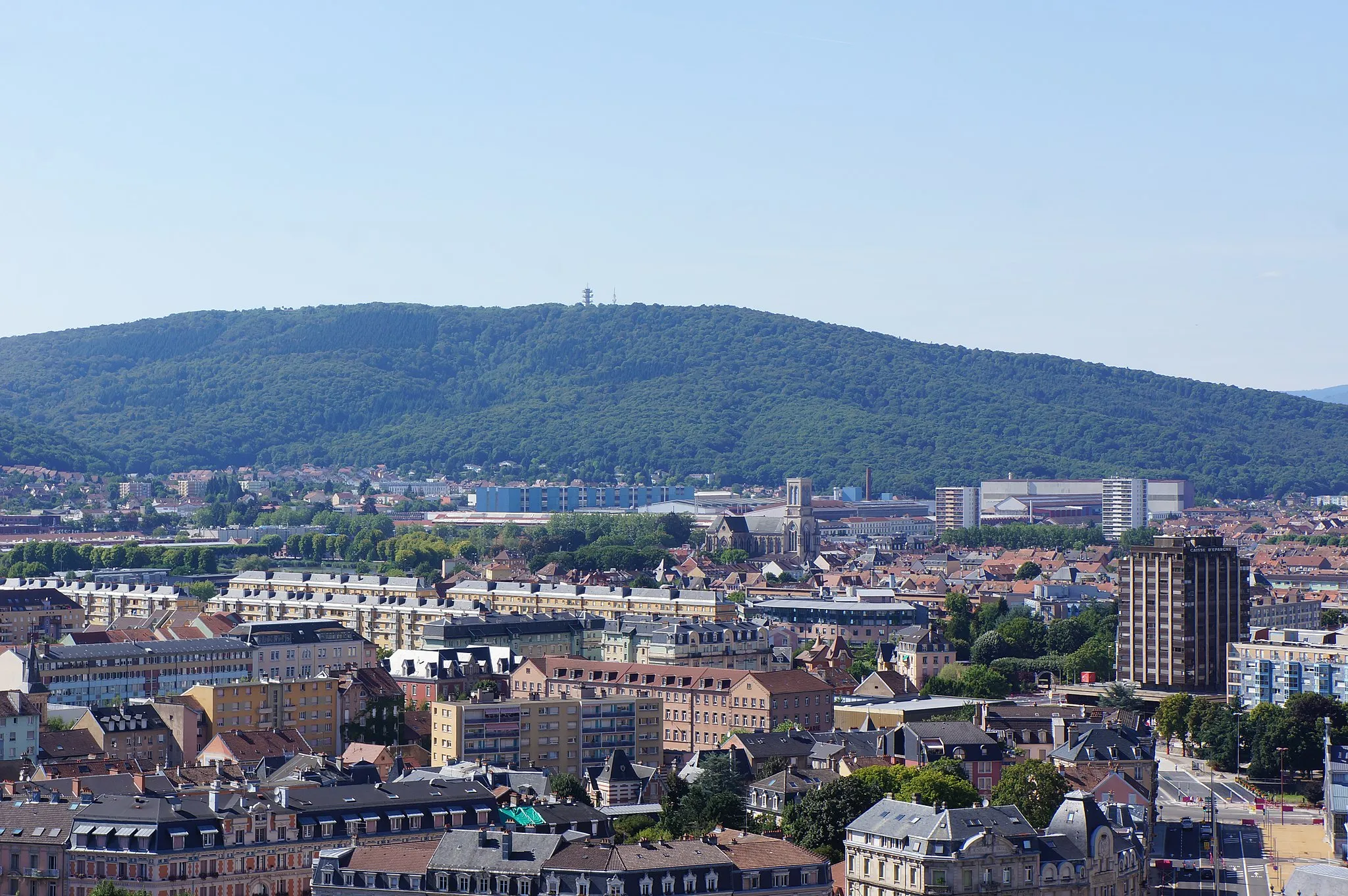
Embark on an epic road cycling journey from Belfort to Sermamagny
This 104-km road route is perfect for road biking enthusiasts seeking a challenge. With an ascent of 1044 meters, it offers exhilarating climbs and thrilling descents. Highlights along the route include stunning panoramic views from Panorama sur Belfort Nord and a visit to the idyllic Fresse.
![Map miniature of "Gravel Route through Roppe and Belfort Gap" cycling inspiration in Franche-Comté, France. Generated by Tarmacs.app cycling route planner](https://images.tarmacs.app/cycling-routes/routemaps/600/france/franche-comte/cravanche/gravel/281144.webp)
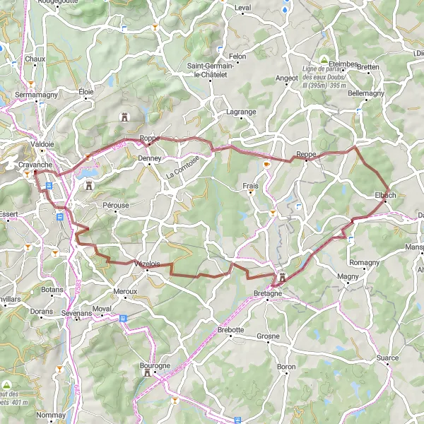
Explore the scenic beauty of Roppe and venture through Belfort Gap on this thrilling gravel route.
This gravel route takes cyclists through the charming town of Roppe and offers a unique experience as they explore the beauty of Belfort Gap. With a total distance of 52 km and an ascent of 390 m, this route is suitable for intermediate gravel riders.
Cycling routes nearby:
![Image of Valdoie](https://images.tarmacs.app/cycling-routes/covers/france/franche-comte/valdoie-5.webp)
![Image of Belfort](https://images.tarmacs.app/cycling-routes/covers/france/franche-comte/belfort-3.webp)
![Image of Salbert](https://images.tarmacs.app/cycling-routes/covers/france/franche-comte/salbert-3.webp)
![Image of Essert](https://images.tarmacs.app/cycling-routes/covers/france/franche-comte/essert-5.webp)
![Image of Bavilliers](https://images.tarmacs.app/cycling-routes/covers/france/franche-comte/bavilliers-4.webp)
![Image of Offemont](https://images.tarmacs.app/cycling-routes/covers/france/franche-comte/offemont-4.webp)
![Image of Danjoutin](https://images.tarmacs.app/cycling-routes/covers/france/franche-comte/danjoutin-5.webp)
![Image of Giromagny](https://images.tarmacs.app/cycling-routes/covers/france/franche-comte/giromagny-4.webp)
![Image of Héricourt](https://images.tarmacs.app/cycling-routes/covers/france/franche-comte/hericourt-4.webp)
Nearby regions:
![Image of Région lémanique](https://images.tarmacs.app/cycling-routes/covers/switzerland/region-lemanique/prilly-1.webp)
![Image of Espace Mittelland](https://images.tarmacs.app/cycling-routes/covers/switzerland/espace-mittelland/wynau-4.webp)
![Image of Nordwestschweiz](https://images.tarmacs.app/cycling-routes/covers/switzerland/nordwestschweiz/neuenhof-2.webp)
![Image of Freiburg](https://images.tarmacs.app/cycling-routes/covers/germany/freiburg/sasbachwalden-4.webp)
![Image of Bourgogne](https://images.tarmacs.app/cycling-routes/covers/france/bourgogne/venarey-les-laumes-3.webp)
![Image of Alsace](https://images.tarmacs.app/cycling-routes/covers/france/alsace/hochfelden-4.webp)
![Image of Champagne-Ardenne](https://images.tarmacs.app/cycling-routes/covers/france/champagne-ardenne/saint-andre-les-vergers-4.webp)
![Image of Lorraine](https://images.tarmacs.app/cycling-routes/covers/france/lorraine/clermont-en-argonne-3.webp)
![Image of Rhône-Alpes](https://images.tarmacs.app/cycling-routes/covers/france/rhone-alpes/dieulefit-2.webp)