Mountains and Valleys
A gravel cycling route starting from Besancon
Discover the natural beauty of the Jura Mountains on this gravel route
Map

Embark on a breathtaking journey through the Jura Mountains with this challenging gravel route. With a demanding ascent of 2034 meters and a distance of 101 kilometers, this route is recommended for experienced cyclists looking for an epic adventure. Highlights include rugged landscapes, charming villages, and remarkable rock formations.
gravel
101 km
2034 m
Savage
Route profile
Highlights on the route
0 km
0 km
Start: Besançon City centerBesançon: Conquering the uphill challenge of La Planche des Belles Filles from Besançon.
Besançon is located in the Franche-Comté region of France and is known for its rich history and beautiful landscapes. From a cyclist's perspective, Besançon offers a mix of challenging climbs and picturesque countryside trails. The city is surrounded by the Jura Mountains, providing opportunities for mountain biking and gravel riding. Besançon is also home to the famous uphill time trial known as La Planche des Belles Filles. Overall, Besançon is a great destination for road and gravel cyclists looking to explore scenic routes and test their climbing abilities.0 km
0 km
BesançonCityBesançon, a UNESCO World Heritage site with a rich history and stunning architecture.
7 km
7 km
Redoute de Montfaucon614 mPeakRedoute de Montfaucon, a steep climb with hairpin turns and breathtaking views from the top.
19 km
19 km
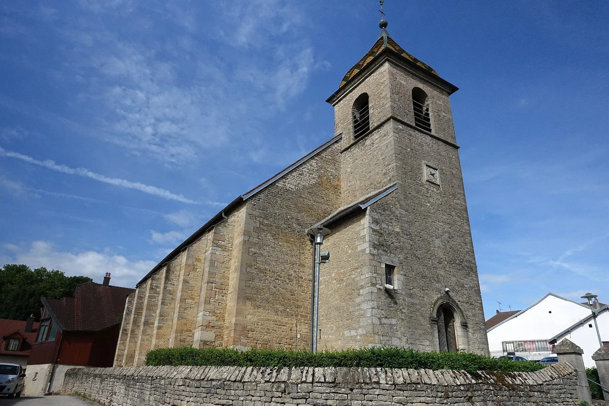
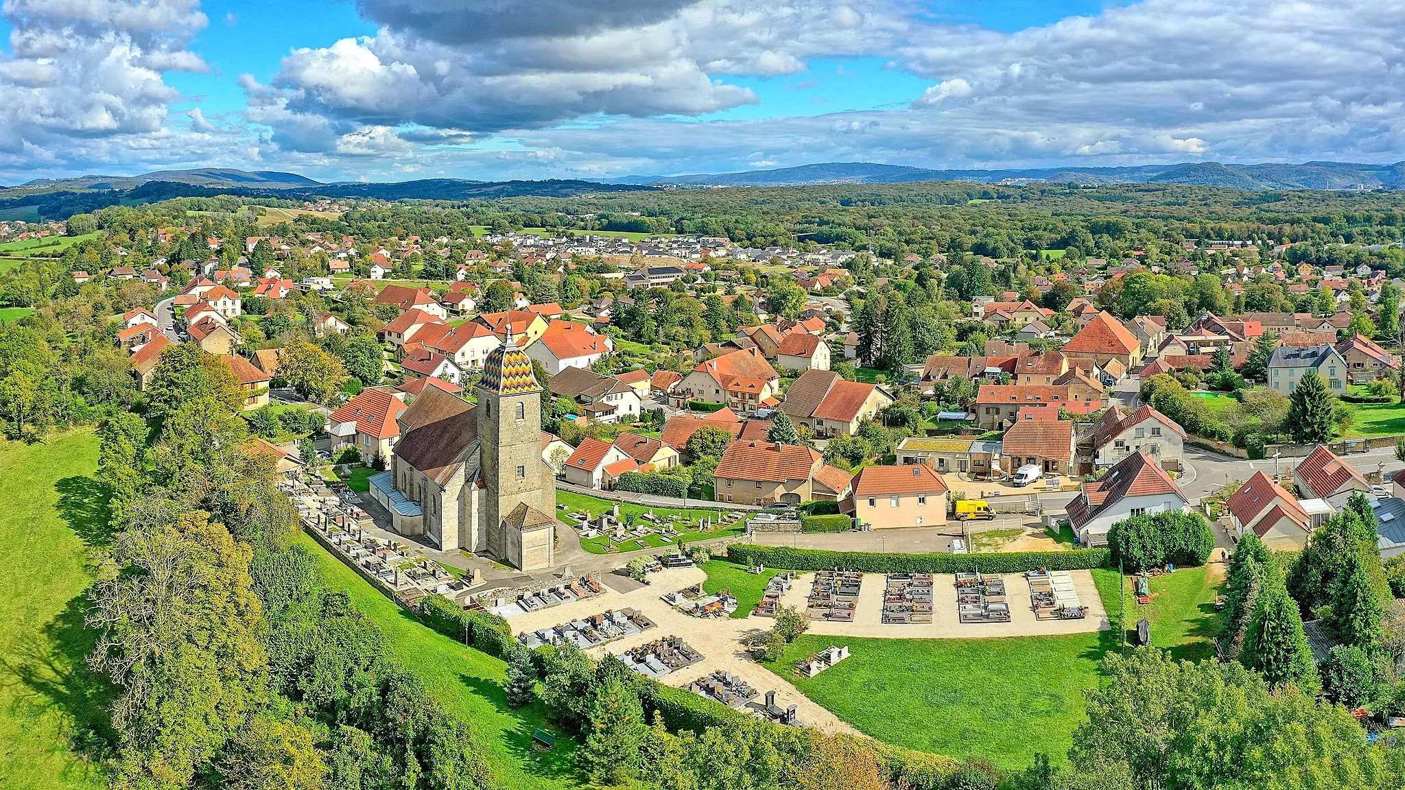
NancrayVillageNancray, a picturesque village famous for its traditional half-timbered houses and scenic hiking trails.
29 km
29 km
Mont De Naisey734 mPeakMont De Naisey, a challenging climb with rewarding views at the summit.
39 km
39 km
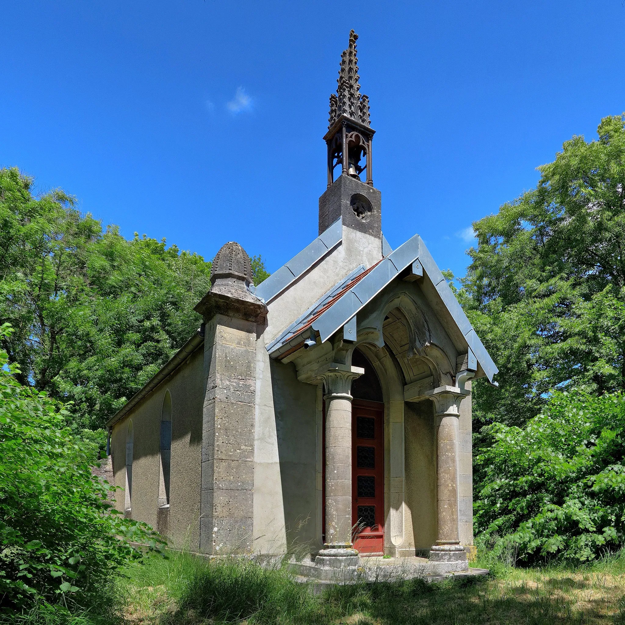
FalleransVillageFallerans, a charming village known for its traditional architecture and idyllic countryside setting.
61 km
61 km
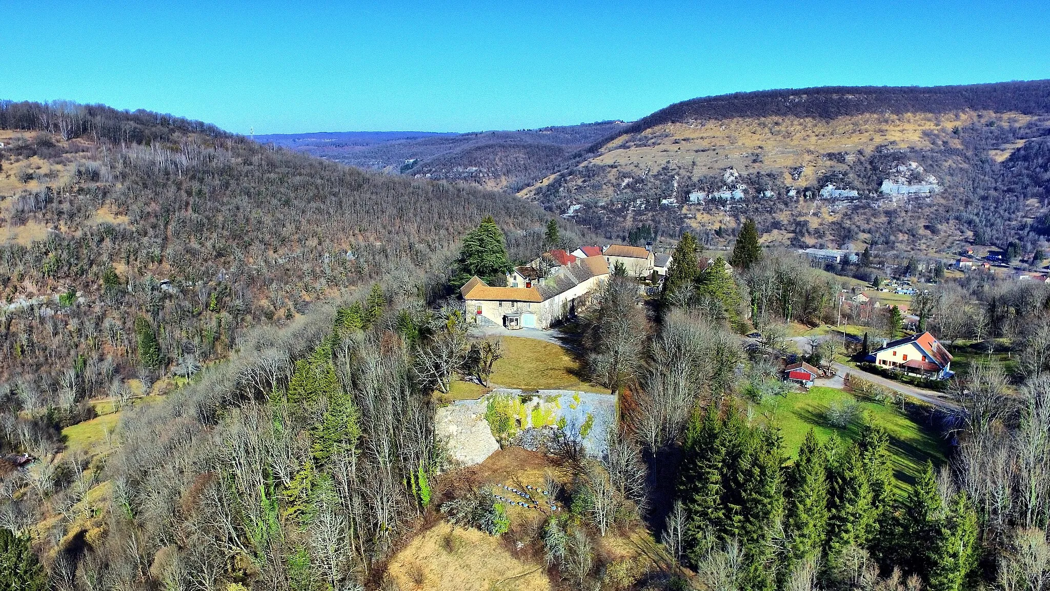
Roche de Hautepierre882 mPeak ViewpointRoche de Hautepierre, a natural wonder with impressive rock formations and stunning panoramic vistas.
62 km
62 km
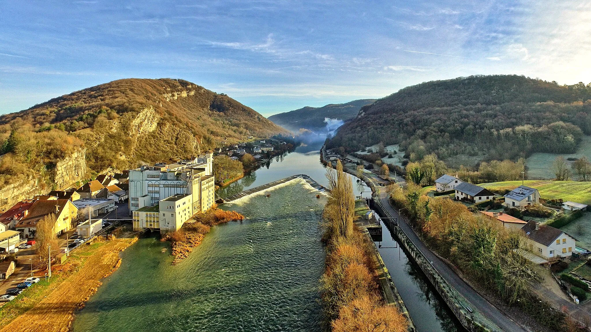
Mouthier-Haute-PierreVillageMouthier-Haute-Pierre, an enchanting village nestled in a valley with crystal-clear rivers and dramatic cliffs.
69 km
69 km
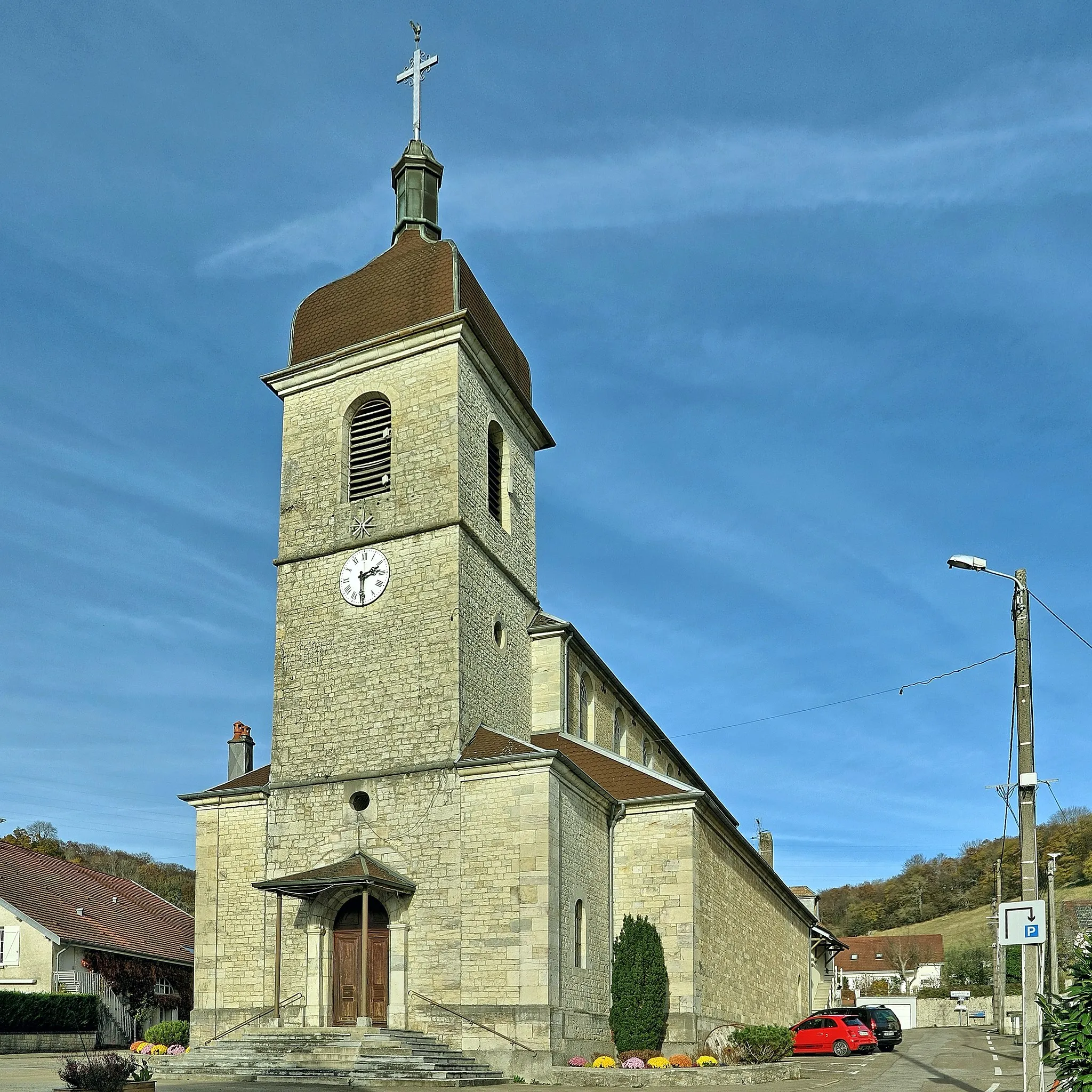
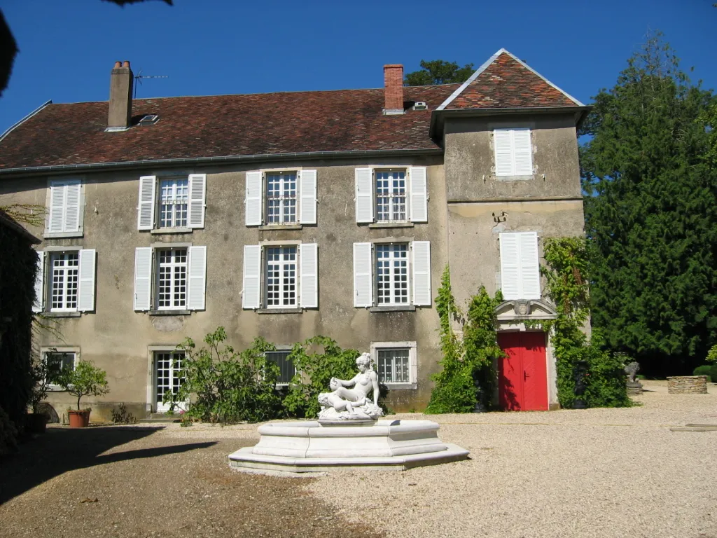
Châteauvieux-les-FossésVillageChâteauvieux-les-Fossés, a historic village with well-preserved medieval buildings and a charming atmosphere.
75 km
75 km
Roche BottineViewpointRoche Bottine, a limestone plateau with unique rock formations and breathtaking views of the surrounding valleys.
86 km
86 km
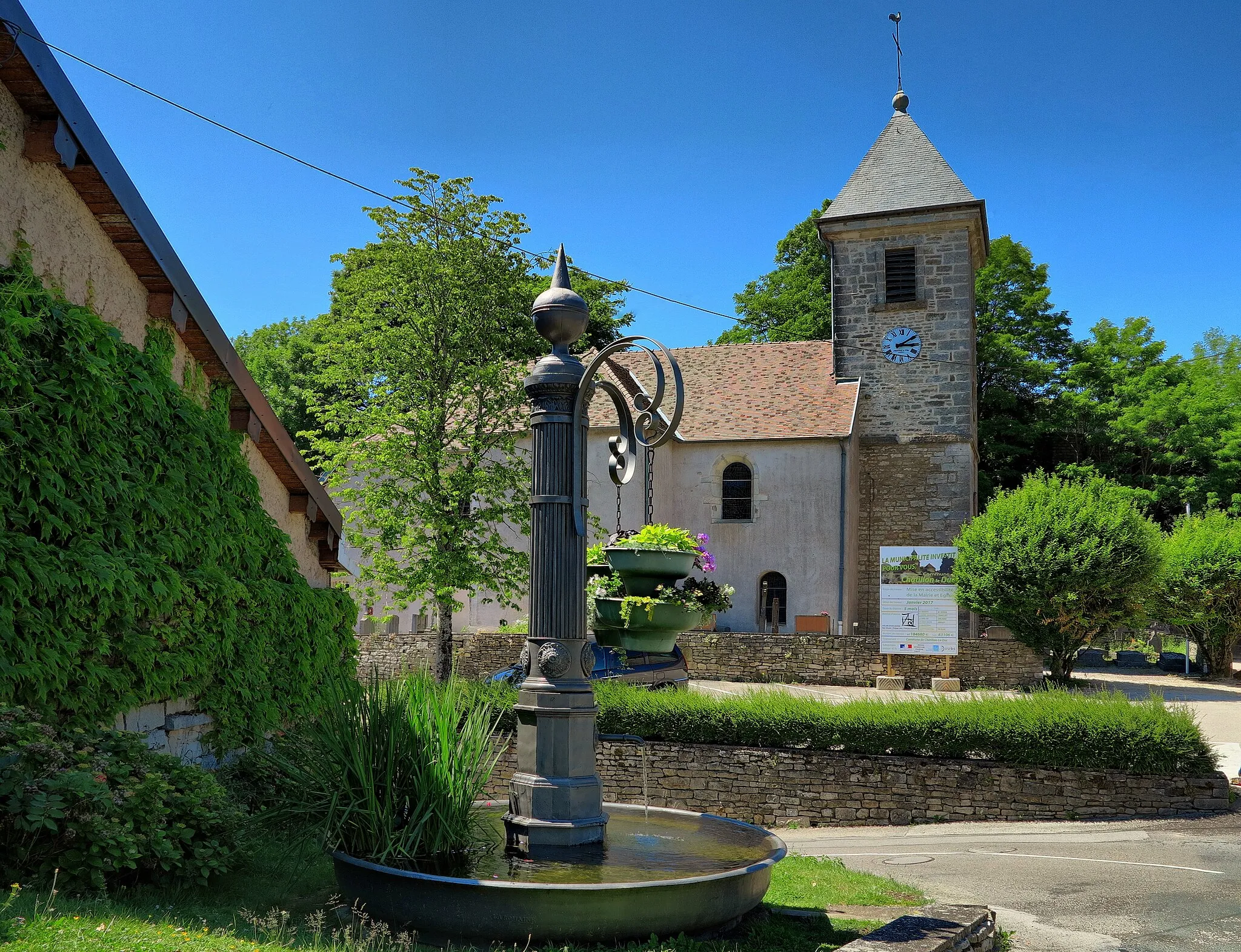
TarcenayVillageTarcenay, a tranquil village surrounded by lush green forests and scenic hiking trails.
96 km
96 km
Le Truchot489 mPeakLe Truchot, a historical site with ancient ruins and panoramic views over the Jura Mountains.
101 km
101 km
Finish: Besançon City centerBesançon: Conquering the uphill challenge of La Planche des Belles Filles from Besançon.
Cycling routes from Besancon:
Gravel Adventure Road Cycling Route: Besançon to Audeux Road Cycling Route: Besançon to Champoux Mountains and Valleys Scenic Road Tour Mountain Gravel Challenge Gravel Cycling Route: Besançon Loop Besançon Countryside Loop Road Cycling Route: Besançon to Fondremand Gravel Cycling Route: Besançon Loop Besançon - Scenic Route with Charming Countryside Views
Cycling routes nearby: