Jura mountain cycling at its best
Cycling routes from Champagnole
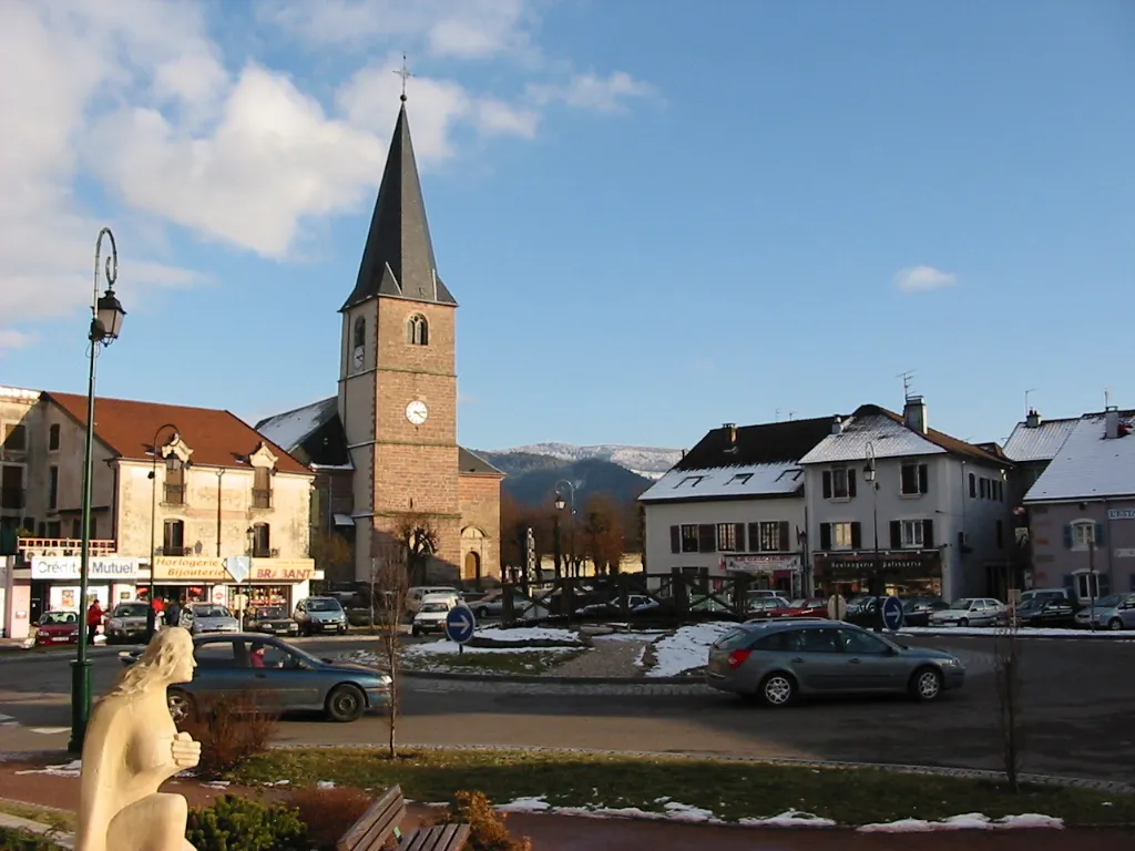
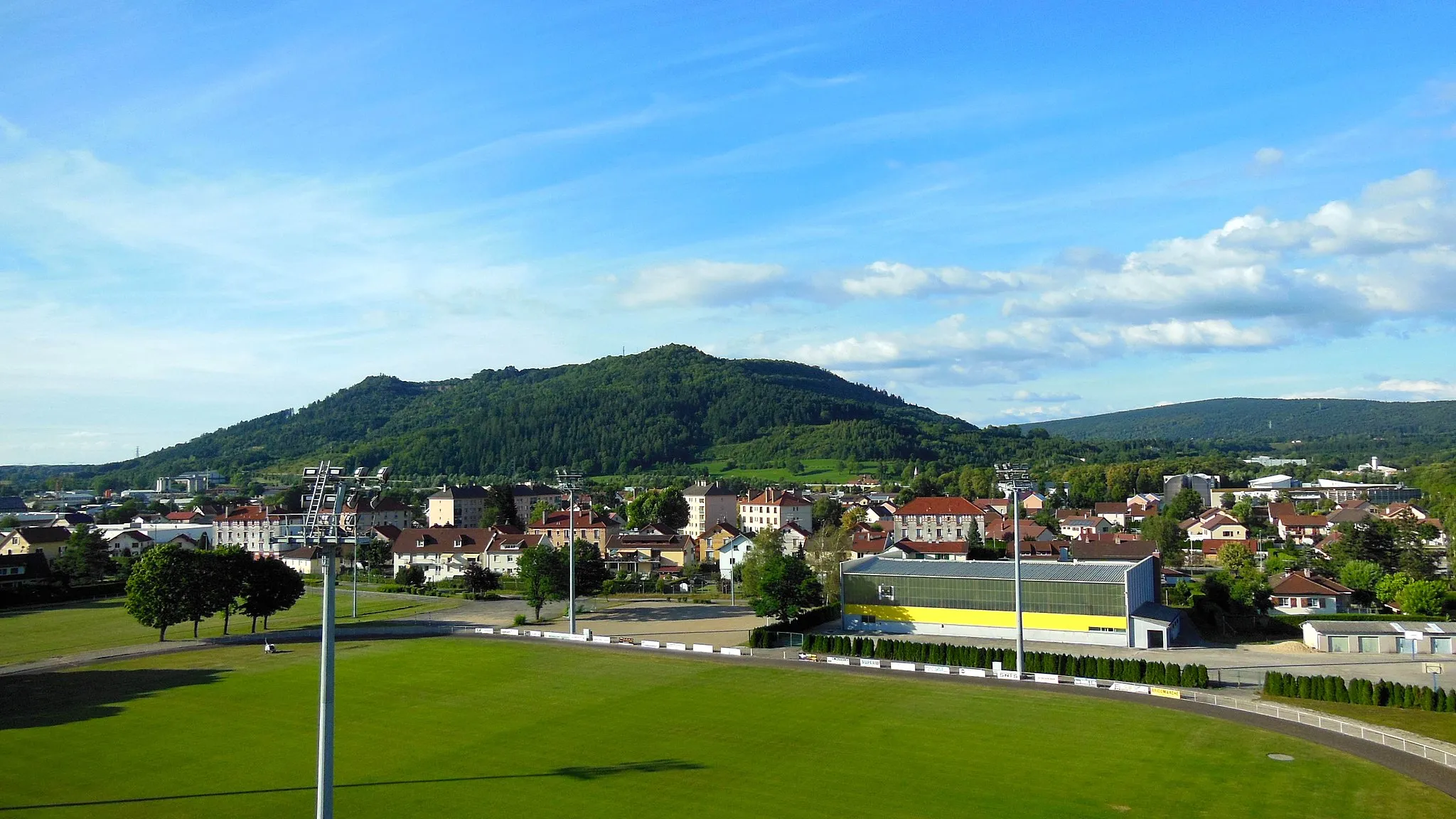
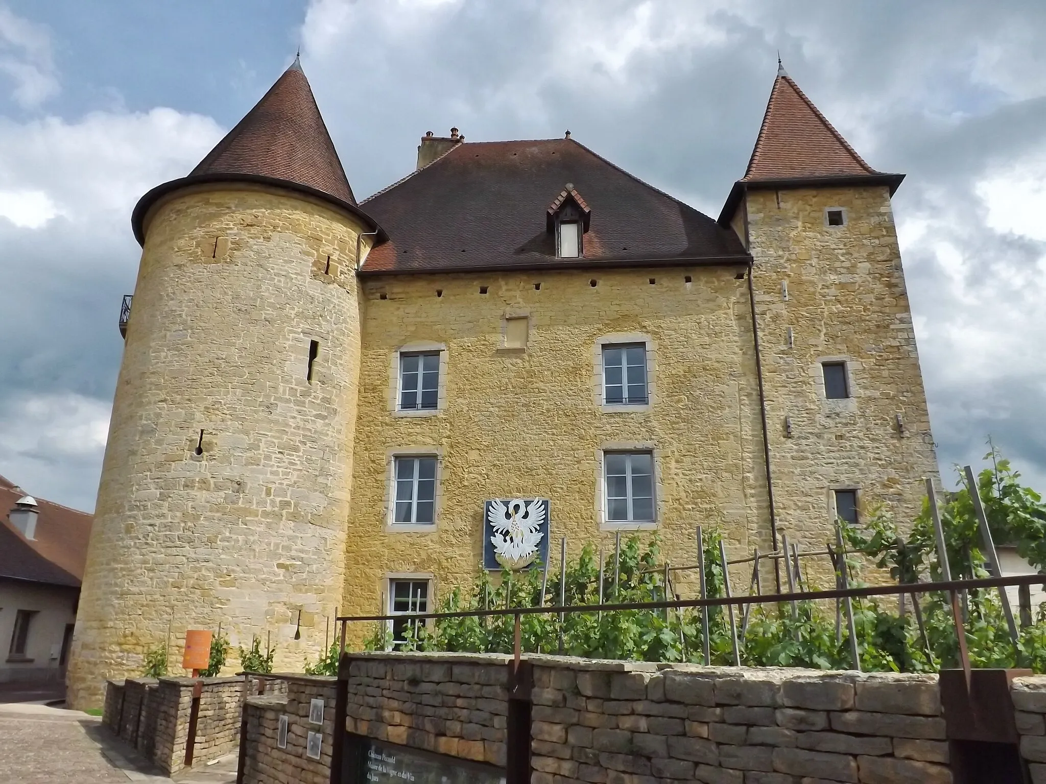
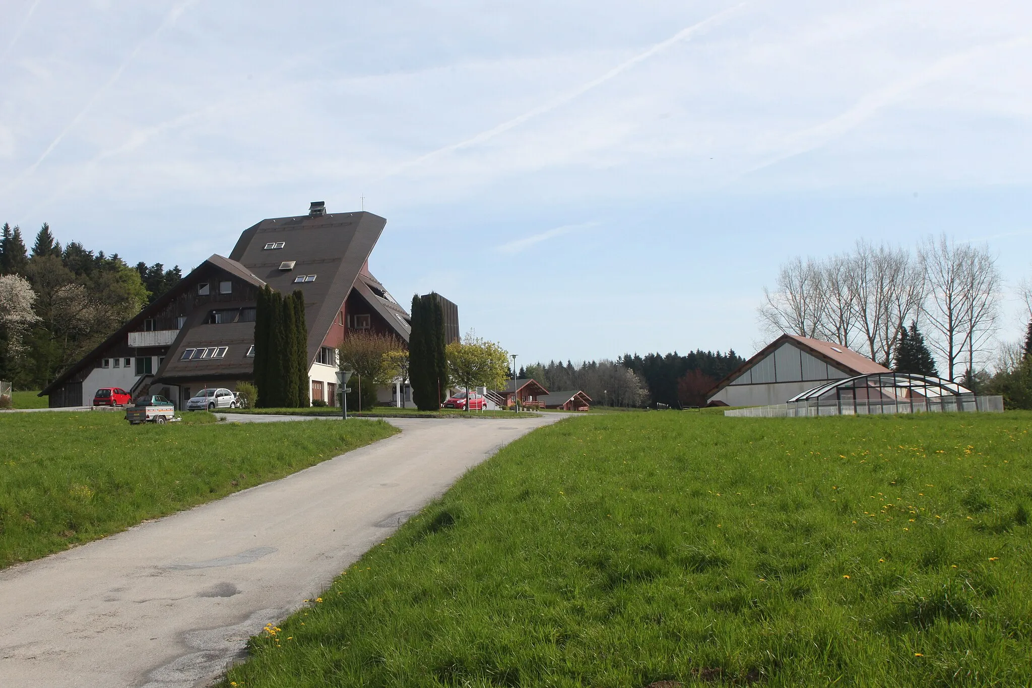
Champagnole is a town located in Franche-Comté, France, that offers excellent cycling opportunities for road and gravel cyclists. The locality is surrounded by the Jura Mountains, providing breathtaking scenery during bike rides. Cyclists can enjoy both flat and hilly routes, thanks to the varied terrain. One well-known climb nearby is Mont-Ragny, offering a challenging ascent for experienced riders. Champagnole also hosts various cycling events, including the Classic Desèze, adding to its appeal for cycling enthusiasts. With its stunning landscapes and challenging routes, Champagnole ranks 5 on the cyclist's perspective scale.
Gorges Adventure
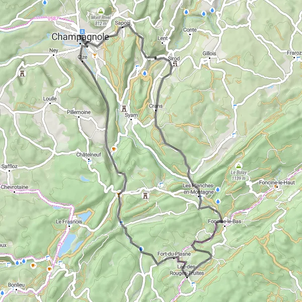
An adventurous route through breathtaking gorges and picturesque villages.
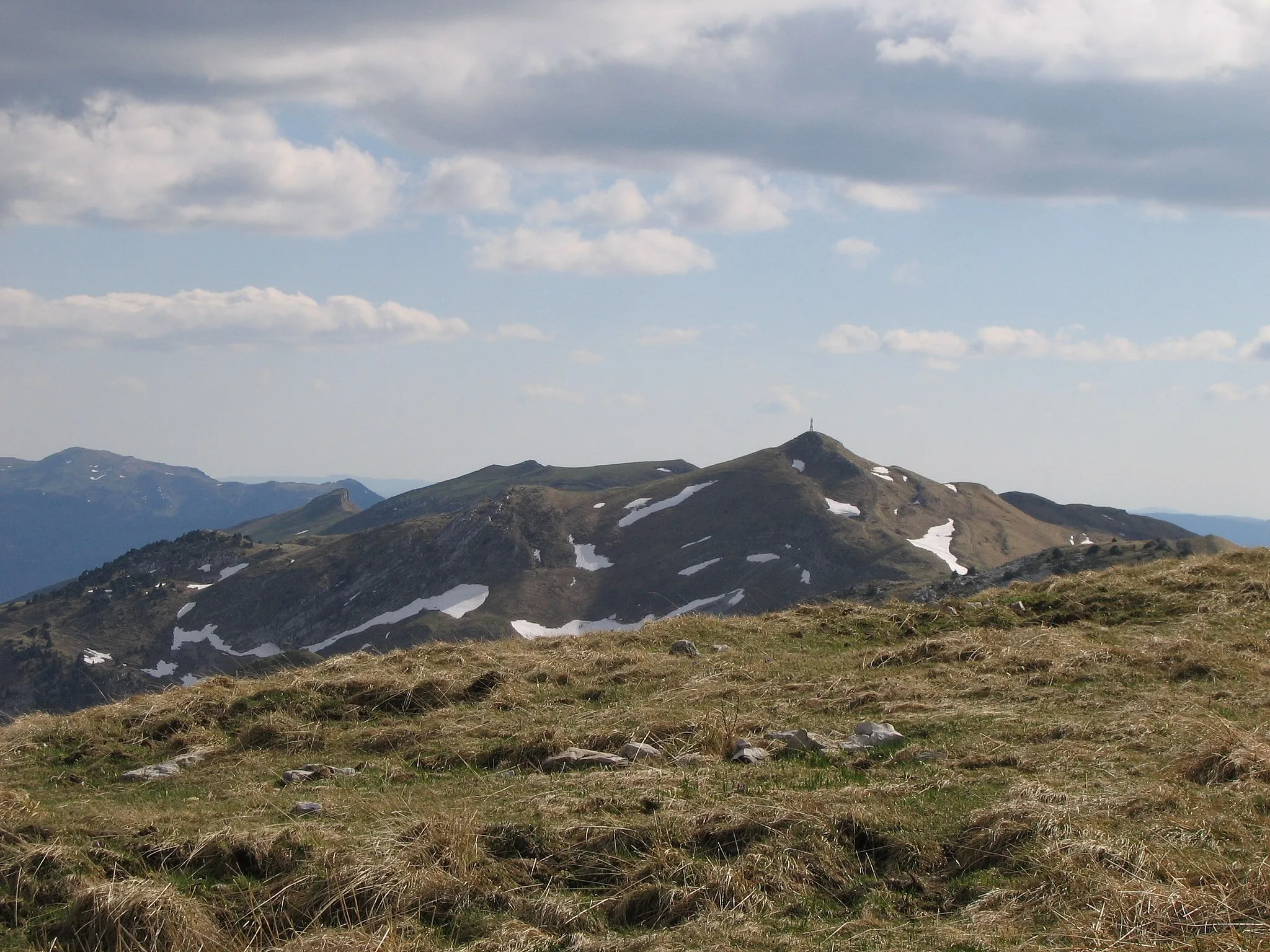
The Gorges Adventure is an adventurous cycling route that takes you through breathtaking gorges and picturesque villages. With a distance of 51 kilometers and an ascent of 888 meters, it is suitable for well-trained amateur cyclists. The route highlights include Les Planches-en-Montagne, a charming village nestled in the mountains, and the Cascade de la Billaude, a stunning waterfall. Other notable highlights include Sapois, a tranquil village surrounded by nature, and Gorges de la Langouette, a series of dramatic gorges. The difficulty of this route is moderate, and its epicness score is 3, making it a great option for cyclists looking for thrilling scenery and beautiful encounters on their journey.
Majestic Loop
A majestic loop with stunning natural landscapes and charming villages.
The Majestic Loop is a majestic cycling route that takes you through stunning natural landscapes and charming villages. With a distance of 60 kilometers and an ascent of 1148 meters, it is suitable for well-trained amateur cyclists. The route highlights include Bief-des-Maisons, a picturesque village with panoramic views, and the Cascade de la Billaude, a magnificent waterfall. Other notable highlights include Sapois, a tranquil village surrounded by nature, and Fort-du-Plasne, a historic site with a rich past. The difficulty of this route is moderate, and its epicness score is 3, making it an ideal choice for cyclists seeking awe-inspiring scenery and cultural discoveries.
Gravel Adventure in Vannoz
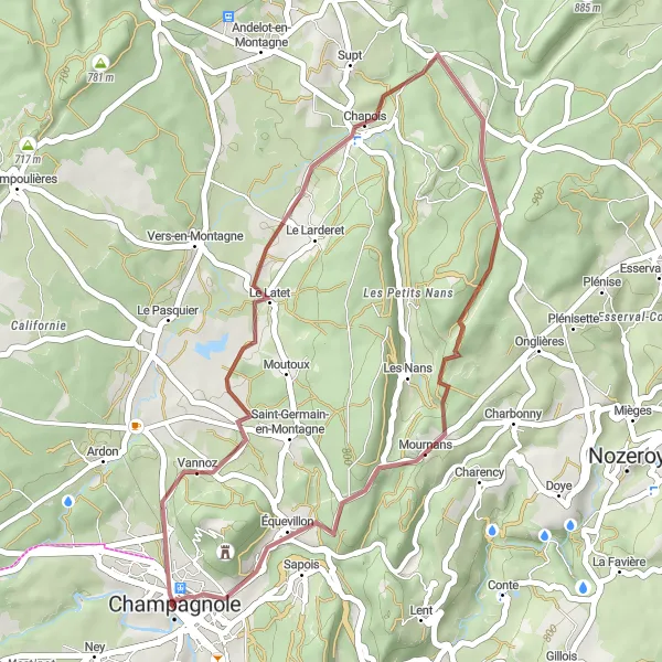
Embark on an exciting gravel adventure and discover the hidden gems of Vannoz.
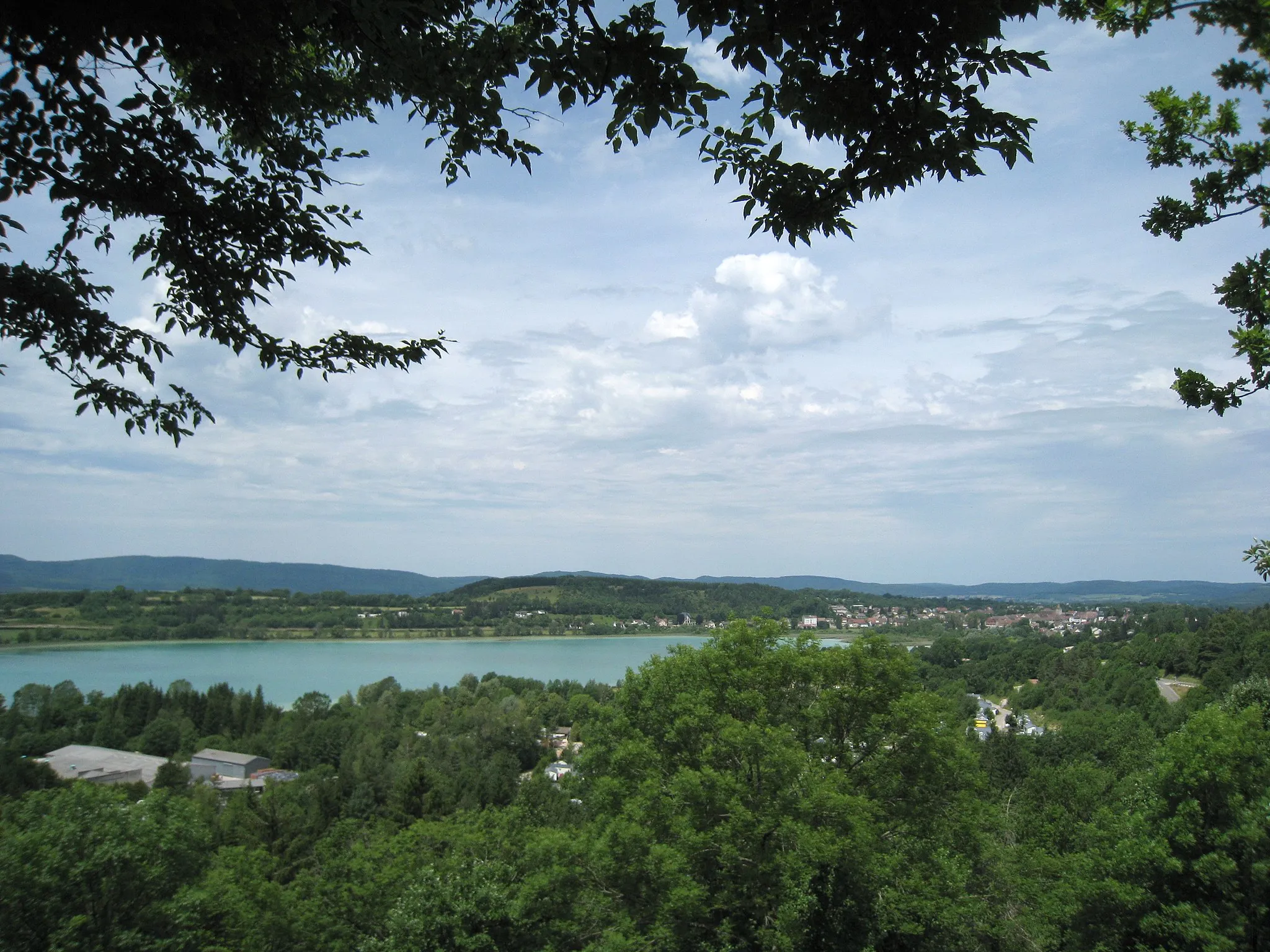
Cyclists will enjoy a 33 km gravel ride with 466 meters of ascent in the idyllic countryside near Vannoz. Highlights along this route include Équevillon and the stunning Mont Rivel. This route is suitable for experienced cyclists looking for a challenging yet rewarding ride.
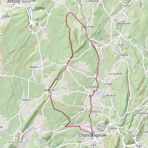
Embark on a memorable gravel ride through the scenic landscapes of Chilly-sur-Salins.
With 386 meters of ascent and a distance of 43 km, this gravel ride near Chilly-sur-Salins is suitable for all cyclists looking to immerse themselves in the beauty of Franche-Comté. Highlights include Chilly-sur-Salins itself, Vers-en-Montagne, and Vannoz.
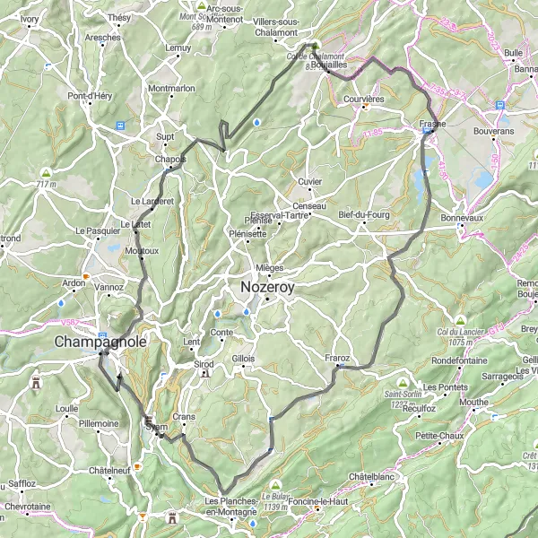
Embark on a road cycling adventure and conquer the challenging climb to Mont Rivel.
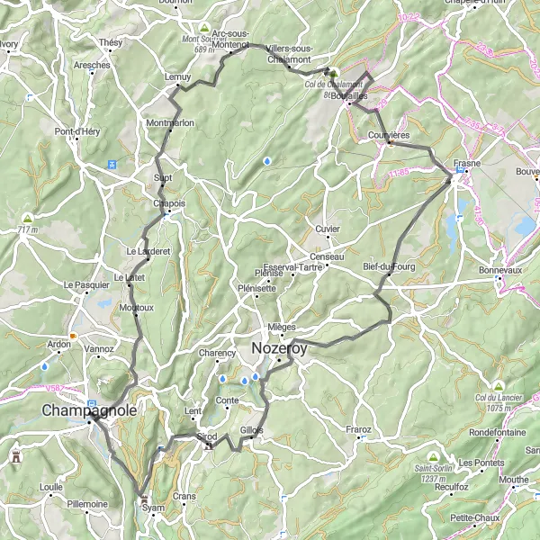
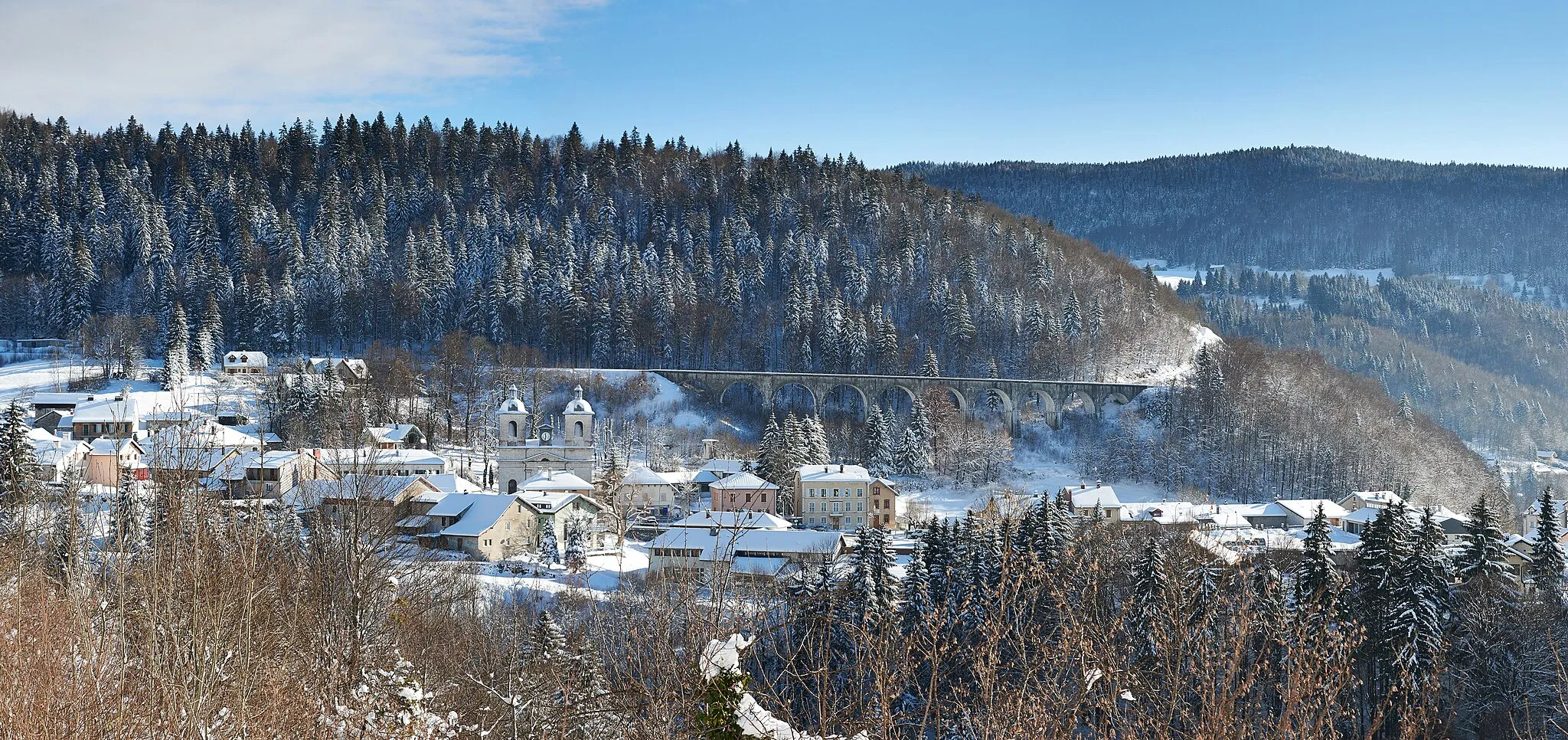
This road cycling route offers 85 km of scenic beauty and 1138 meters of ascent as cyclists explore the picturesque landscapes near Franche-Comté. Highlights include Mont Rivel, Moutoux, Col de Chalamont, Boujailles, Frasne, Bief-des-Maisons, and Cize. Cyclists looking for a challenging and rewarding ride will be thrilled by this route.
Champagnole Adventure
Exciting route through diverse terrain and charming villages.
The Champagnole Adventure is an exciting cycling route that takes you through diverse terrain and charming villages. With a distance of 81 kilometers and an ascent of 967 meters, it is suitable for well-trained amateur cyclists. The route highlights include Mont Rivel, a scenic mountain with breathtaking views, and the Cascade de la Billaude, a magnificent waterfall. Other notable highlights include Supt, a small village known for its scenic beauty, and Col de Chalamont, a challenging climb with rewarding panoramic views. The difficulty of this route is moderate, and its epicness score is 3, making it an adventurous option for cyclists looking for variety and stunning scenery.
Chaumusse Loop

Beautiful loop with stunning views and charming villages.
The Chaumusse Loop is a scenic cycling route that takes you through picturesque villages and offers breathtaking views of the surrounding landscape. With a distance of 100 kilometers and an ascent of 1185 meters, it is suitable for well-trained amateur cyclists. The route highlights include Le Vaudioux, a charming village known for its traditional architecture, and the Cascade de la Billaude, a stunning waterfall. Other notable highlights include La Chaumusse, a small town with a rich history, and Pont-du-Navoy, a picturesque bridge over the river Ain. The difficulty of this route is moderate, and its epicness score is 3, making it a great option for cyclists looking for a scenic ride with some challenges along the way.
Gravel Adventure

An epic gravel adventure through diverse landscapes and hidden gems.
The Gravel Adventure is an epic cycling route that takes you through diverse landscapes and hidden gems. With a distance of 57 kilometers and an ascent of 944 meters, it is suitable for well-trained amateur cyclists. The route highlights include Mont Rivel, a scenic mountain with panoramic views, and Bief-des-Maisons, a picturesque village nestled in the mountains. Other notable highlights include Sapois, a tranquil village surrounded by nature, and Mièges, a small village known for its charm. The difficulty of this route is moderate, and its epicness score is 4, making it an thrilling option for gravel enthusiasts looking for unique landscapes and hidden treasures.
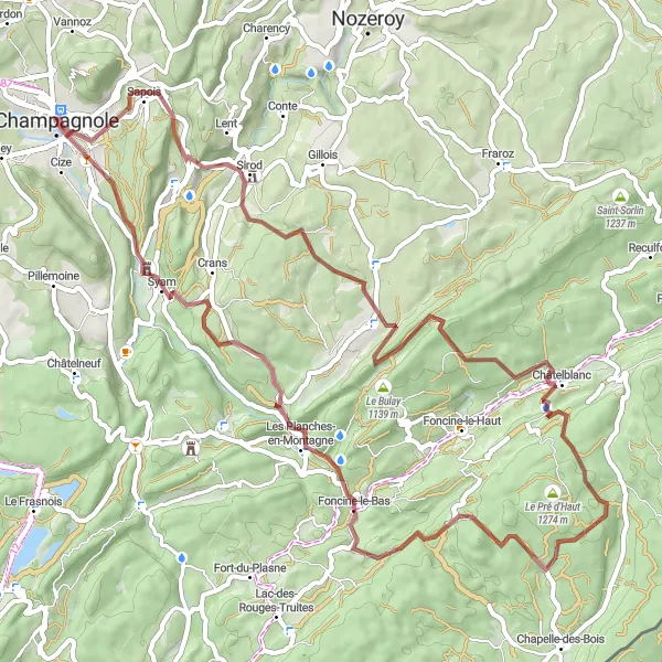
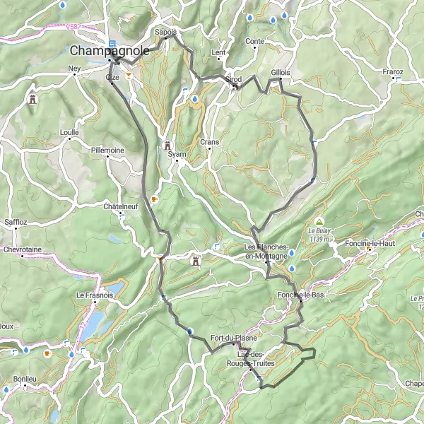
Embark on a challenging gravel ride to Sirod and discover the hidden natural wonders of the region.
This 66 km gravel route with 1541 meters of ascent is perfect for cyclists seeking a challenging adventure through the rugged landscapes of Franche-Comté. Highlights include Sirod, Châtelblanc, Point de vue de la roche, Mont Noir, Foncine-le-Bas, Syam, and Cize.
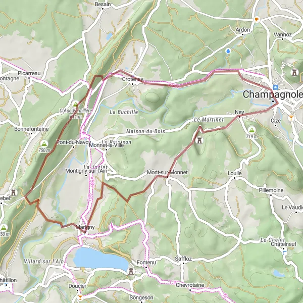
Explore the scenic landscapes and reach the beautiful Belvédère de Bénédegand.
This gravel route offers a 38 km ride with 487 meters of ascent through the stunning Franche-Comté region. With highlights including Ney, Mont-sur-Monnet, Château de Mirebel, and Col de Vermillère, this route is perfect for cyclists looking for adventure and beautiful views.
Cycling routes nearby:


Nearby regions: