Levier - Cycling Bliss in Franche-Comté's Charming Countryside
Cycling routes from Levier
Levier is a captivating locality situated in the Franche-Comté region of France. As a road or gravel cyclist, you will be enchanted by its idyllic countryside, dotted with charming villages and lush greenery. The roads are well-maintained and offer a mix of flat stretches and challenging climbs, making it suitable for cyclists of various abilities. Levier is located near several notable cycling routes, such as the Col de la Croix des Faderons, which is frequented by enthusiasts. Whether you seek leisurely rides or exhilarating challenges, Levier caters to all cycling preferences.
Embark on an exciting gravel adventure through beautiful countryside
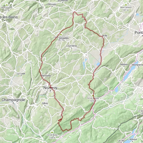
This gravel route near Levier takes you on a thrilling journey through beautiful Franche-Comté countryside. With a total ascent of 1650m and a distance of 94km, it offers a challenging yet rewarding experience for gravel enthusiasts. Highlights include the charming village of Bouverans, with its traditional stone houses, and the scenic Col du Lancier.
Immerse yourself in the enchanting beauty of the region with this gravel ride
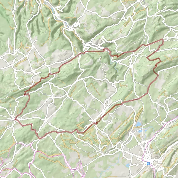
This gravel ride near Levier promises an enchanting experience through the region's stunning landscapes. With a total ascent of 1572m and a distance of 66km, it offers a challenging yet rewarding adventure. Highlights include the impressive Château de Maillot and the picturesque village of Arc-sous-Cicon.

Embark on a scenic road cycling journey through the charming village of Villers-sous-Chalamont.
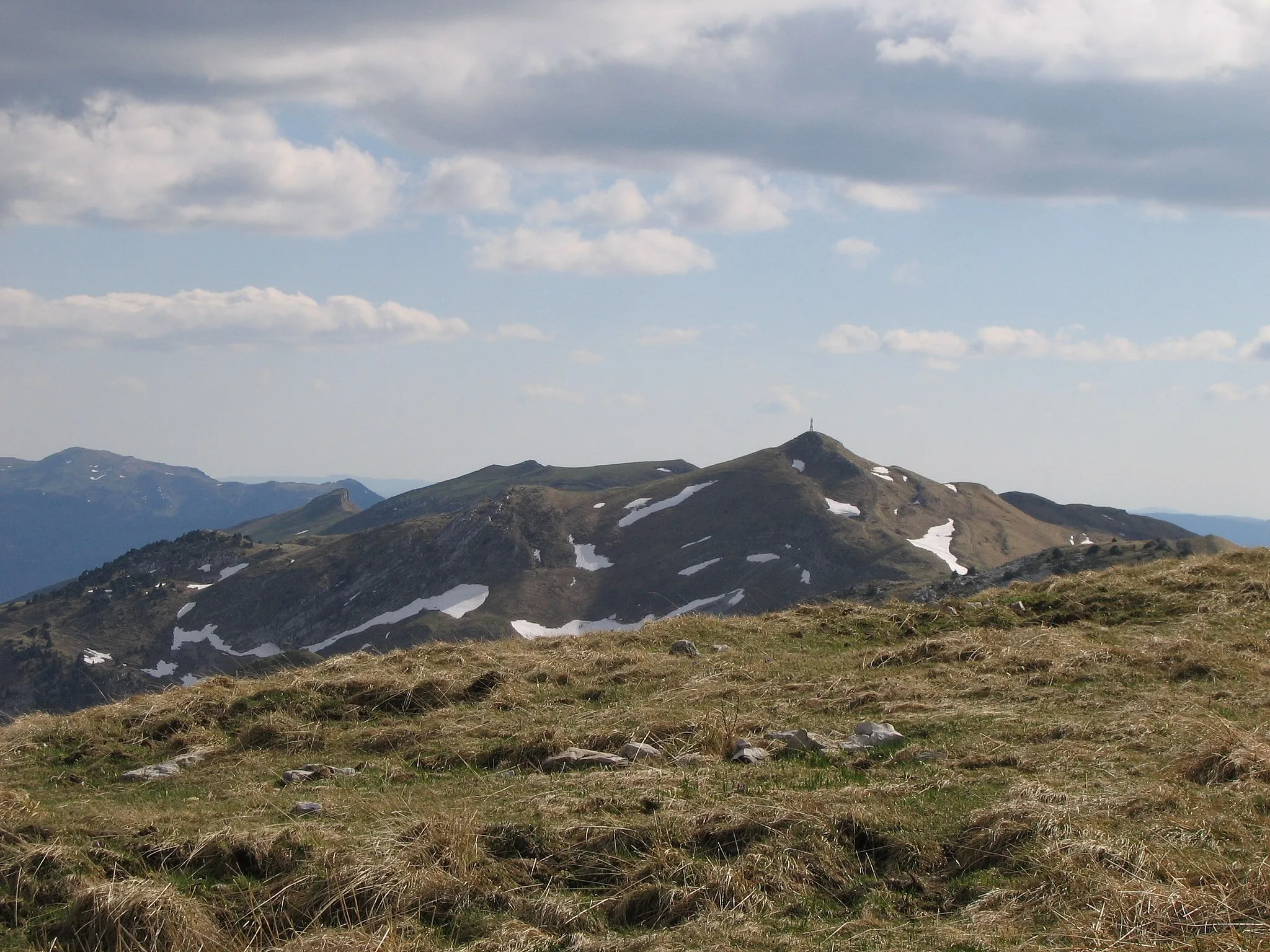
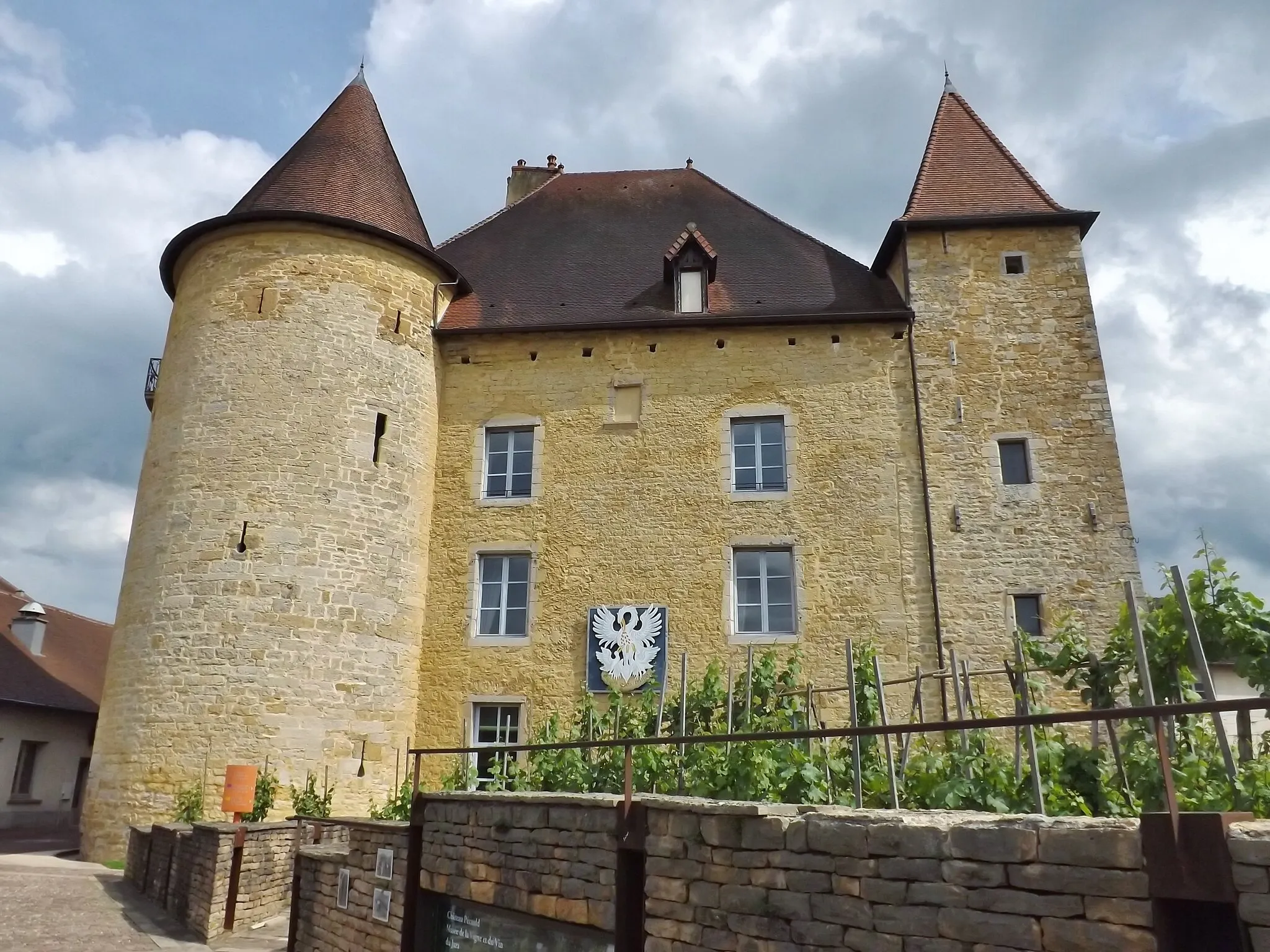
Explore the idyllic Franche-Comté countryside with this 105 kilometer road route. With an ascent of 1249 meters, this ride is perfect for well-trained amateurs seeking a challenge. Highlights along the way include Mont Segrin, offering breathtaking views of the Jura Mountains, and Château d'Arc, a historical landmark with a fascinating past.
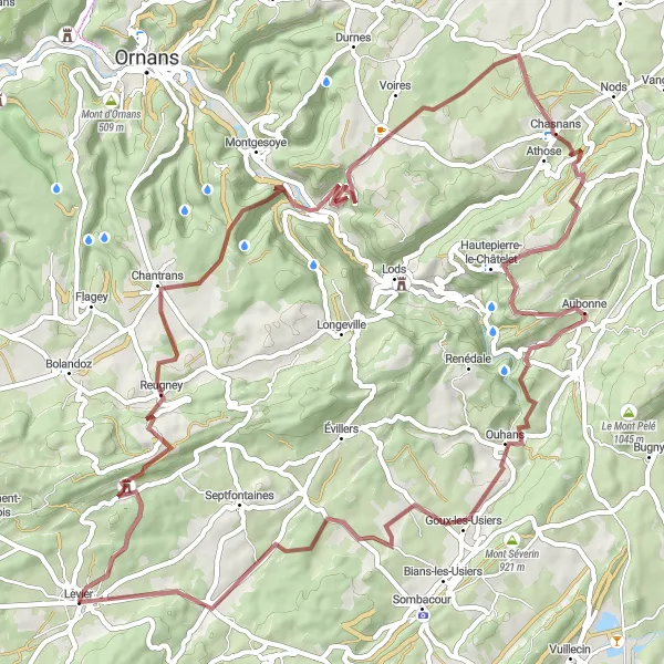
Embark on a thrilling gravel adventure with stunning views
This gravel route near Levier is a perfect choice for adventure seekers. With a total ascent of 1329m and a distance of 74km, it offers an exhilarating challenge. The route takes you through picturesque landscapes and highlights include the Belvédère du temps, providing panoramic views of the surrounding area, and the charming village of Vuillafans.
Scenic Road Tour

Enjoy a scenic road tour through picturesque villages and enchanting landscapes
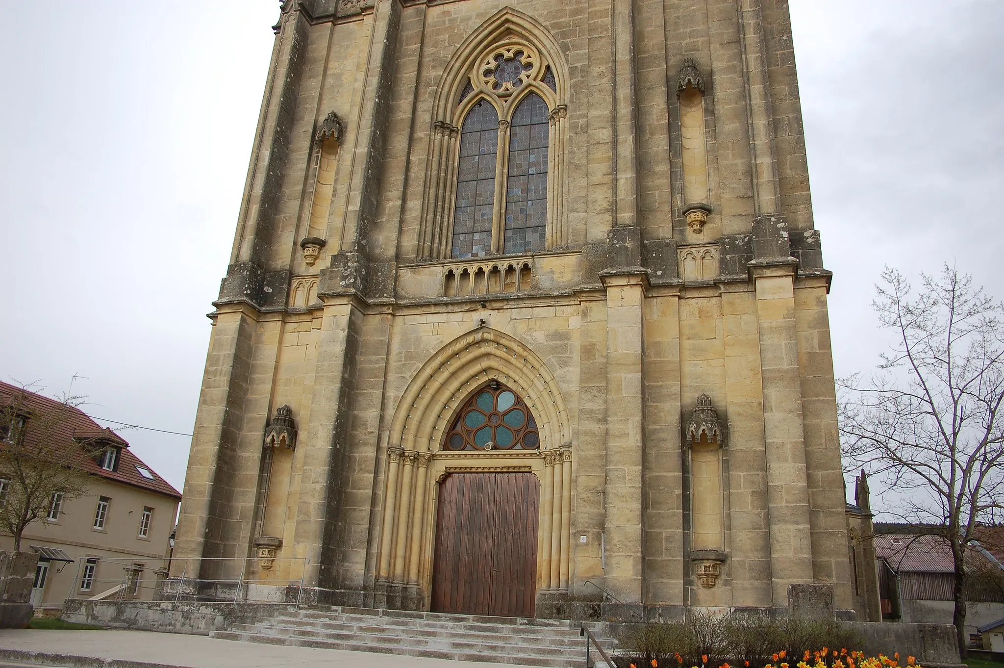
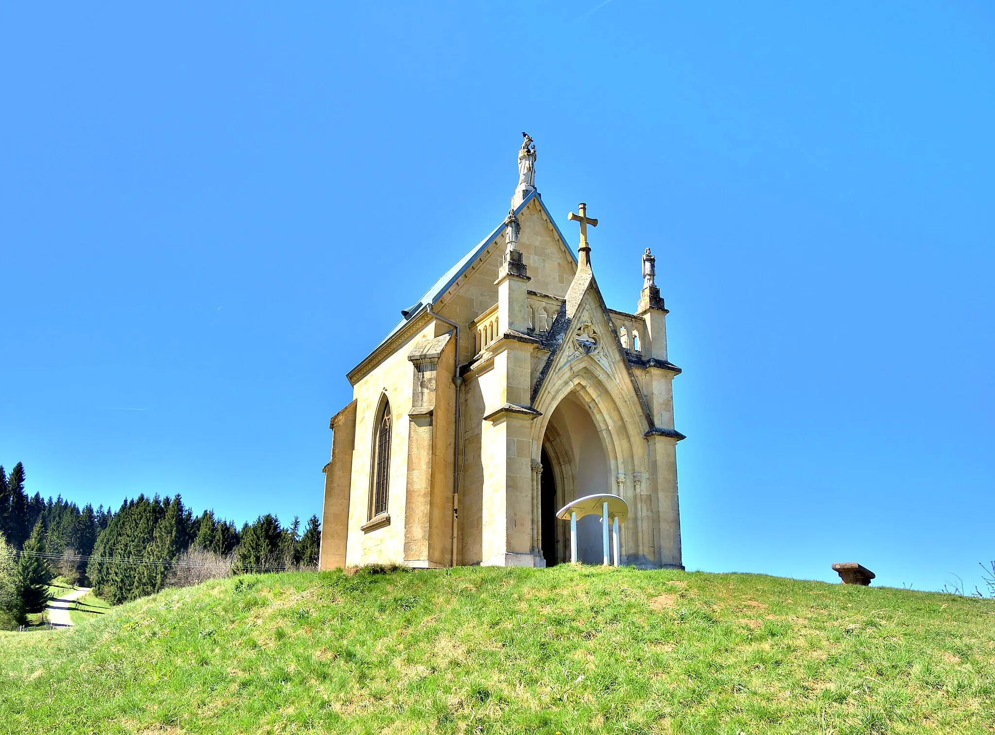
This road tour near Levier offers a delightful journey through some of the most picturesque villages of Franche-Comté. With a total ascent of 585m and a distance of 52km, it is suitable for cyclists of all levels. Highlights include the Mont-Calvaire, offering stunning views of the surrounding countryside, and the charming village of La Rivière-Drugeon.
Bannans Gravel Route
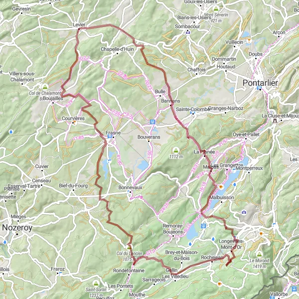
Immerse yourself in the rugged beauty of the Franche-Comté region on this gravel route.
Experience the rugged beauty of the Franche-Comté region with this 86 kilometer gravel route. With an ascent of 1362 meters, it offers a challenging but rewarding cycling adventure. Highlights along the route include La Planée, known for its impressive panoramic views, and the Col du Lancier, a challenging climb that offers stunning vistas over the surrounding mountains.

Embark on a scenic road cycling adventure through the picturesque village of Longeville.
Discover the beauty of the Franche-Comté region on this road cycling route. With a total distance of 97 kilometers and an ascent of 1563 meters, this route offers a challenging yet rewarding experience for well-trained amateurs. Highlights along the way include the Roche de Hautepierre, a towering rock formation with spectacular views, and Mont Chaumont, a legendary climb popular among cycling enthusiasts.

Discover the picturesque village of Montjux on this scenic gravel route.
Explore the beautiful Franche-Comté region of France on this distinctive and unique gravel route. With a total distance of 59 kilometers and an ascent of 1186 meters, this route offers a challenging yet rewarding cycling experience. The highlights along the route include Nans-sous-Sainte-Anne, known for its stunning cliffs and network of caves, as well as Lever, a charming town with a rich history.

Experience the beauty of the Franche-Comté countryside on this epic road route.
Embark on a scenic road cycling adventure through the Franche-Comté countryside with this 101 kilometer route. With a challenging ascent of 1608 meters, this route is best suited for well-trained amateurs. Highlights along the way include the Rocher du Pénitent, a stunning natural rock formation, and the Croix du Poupet, offering stunning views over the Jura Mountains.
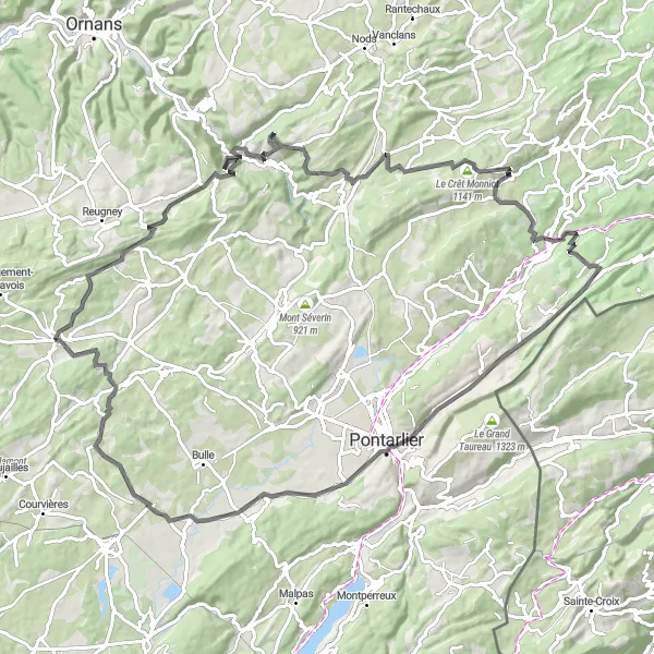
Experience a challenging road cycling route with breathtaking natural beauty
For road cycling enthusiasts, this route near Levier is a paradise. With a total ascent of 1923m and a distance of 102km, it offers a challenging but rewarding experience. Highlights include the Roche de Hautepierre, known for its stunning cliffs, and the picturesque village of La Rivière-Drugeon, nestled in the heart of the Jura mountains.
Cycling routes nearby:

Nearby regions: