Novillars Road Expedition
A road cycling route starting from Novillars
Embark on a challenging road cycling expedition near Novillars
Map
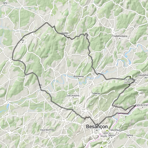
Prepare yourself for a 96 km road cycling adventure starting from Novillars. This route will test your endurance with an ascent of 1188m. Along the way, immerse yourself in the region's rich cultural heritage, passing by charming villages and scenic landscapes.
road
96 km
1188 m
Tough
Route profile
Highlights on the route
0 km
0 km
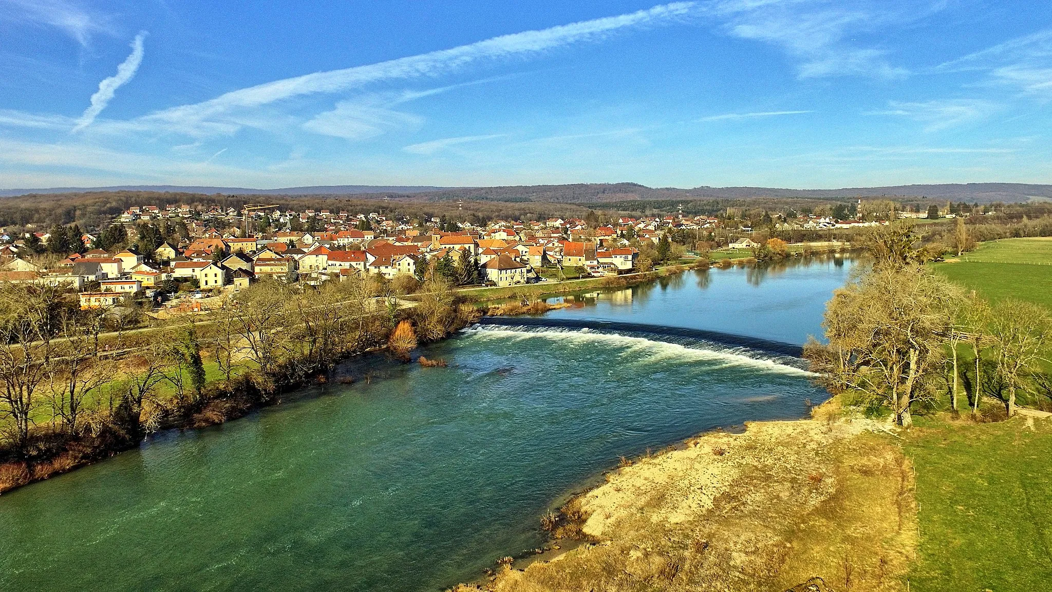
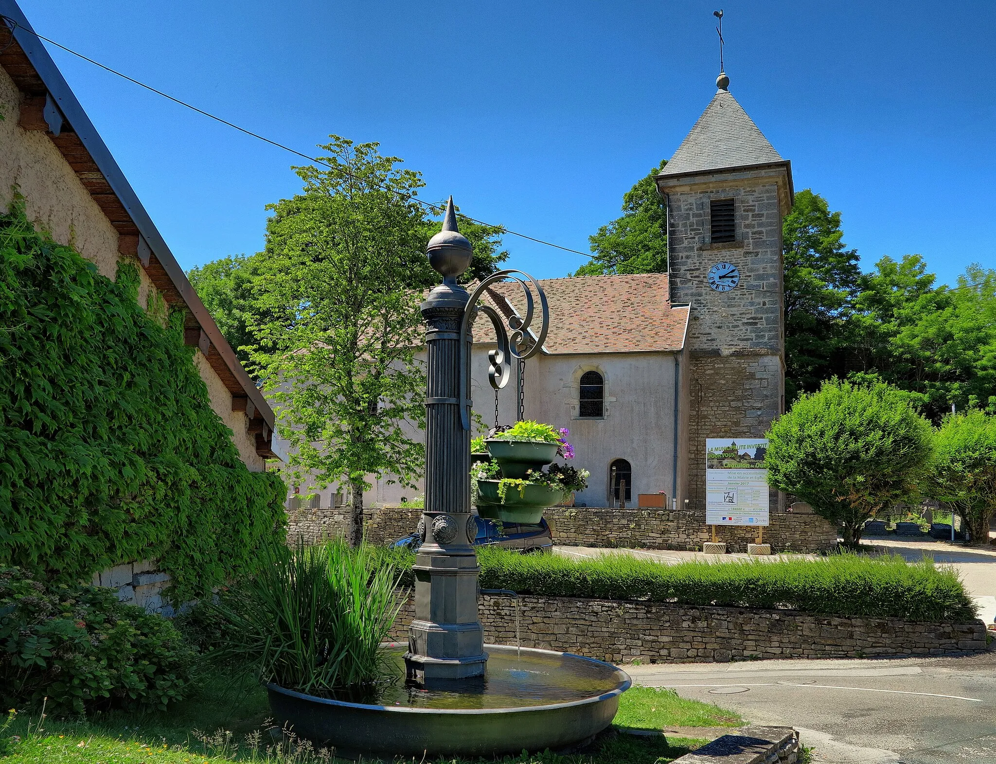
Start: Novillars Village centerNovillars: Hidden cycling gem flanked by stunning countryside.
Novillars, situated in the Franche-Comté region of France, is a cyclist-friendly locality offering a mix of scenic roads and gravel trails. The area is surrounded by beautiful countryside, dotted with historic sites and charming villages. A notable cycling spot near Novillars is the ascent to Le Larmont, a challenging climb popular among local cyclists. Novillars is a hidden gem for both road and gravel cyclists, with a variety of routes to suit different preferences and skill levels.14 km
14 km
MontbouconsSub-urbStop over at Montboucons to visit the historic Fort de Montboucon, which offers panoramic views of the surrounding area.
33 km
33 km
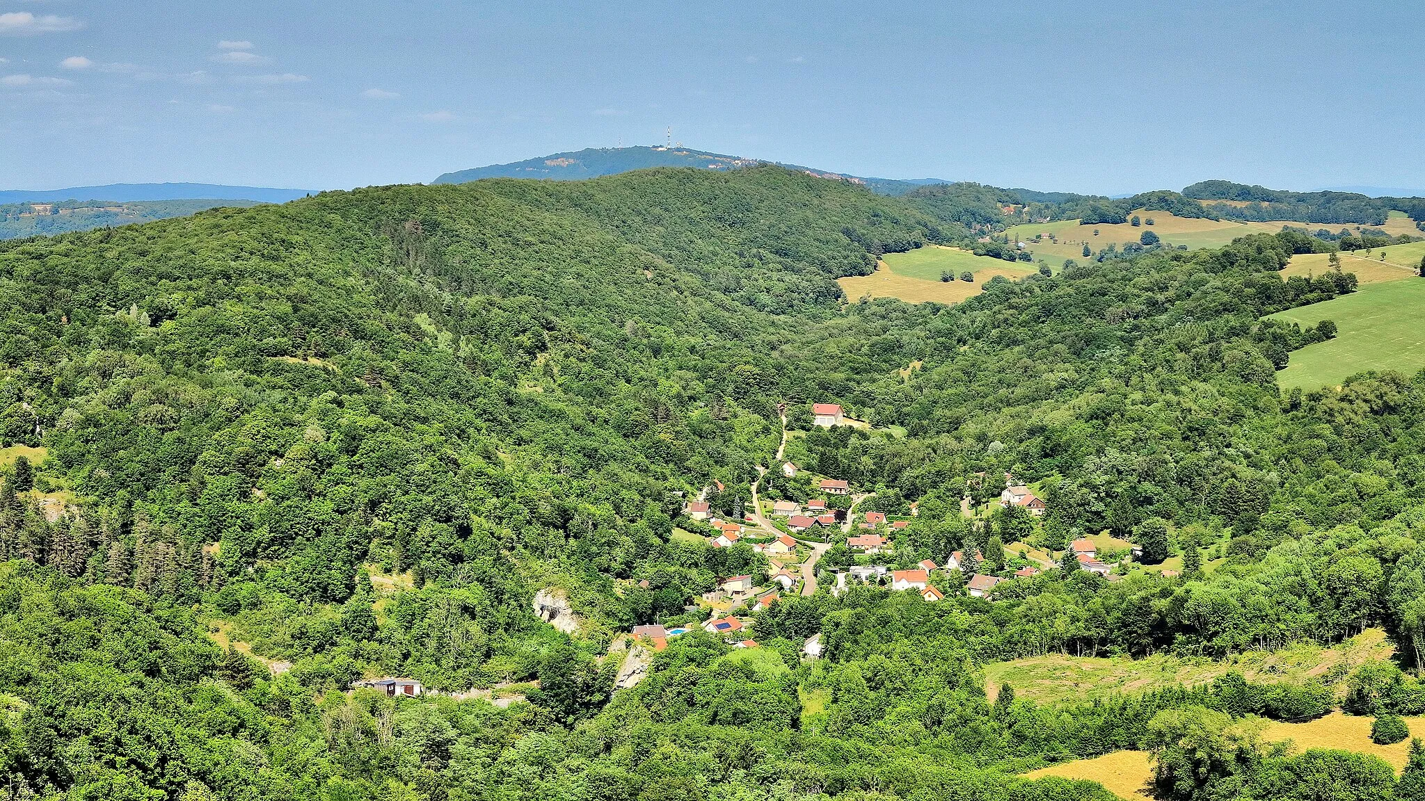
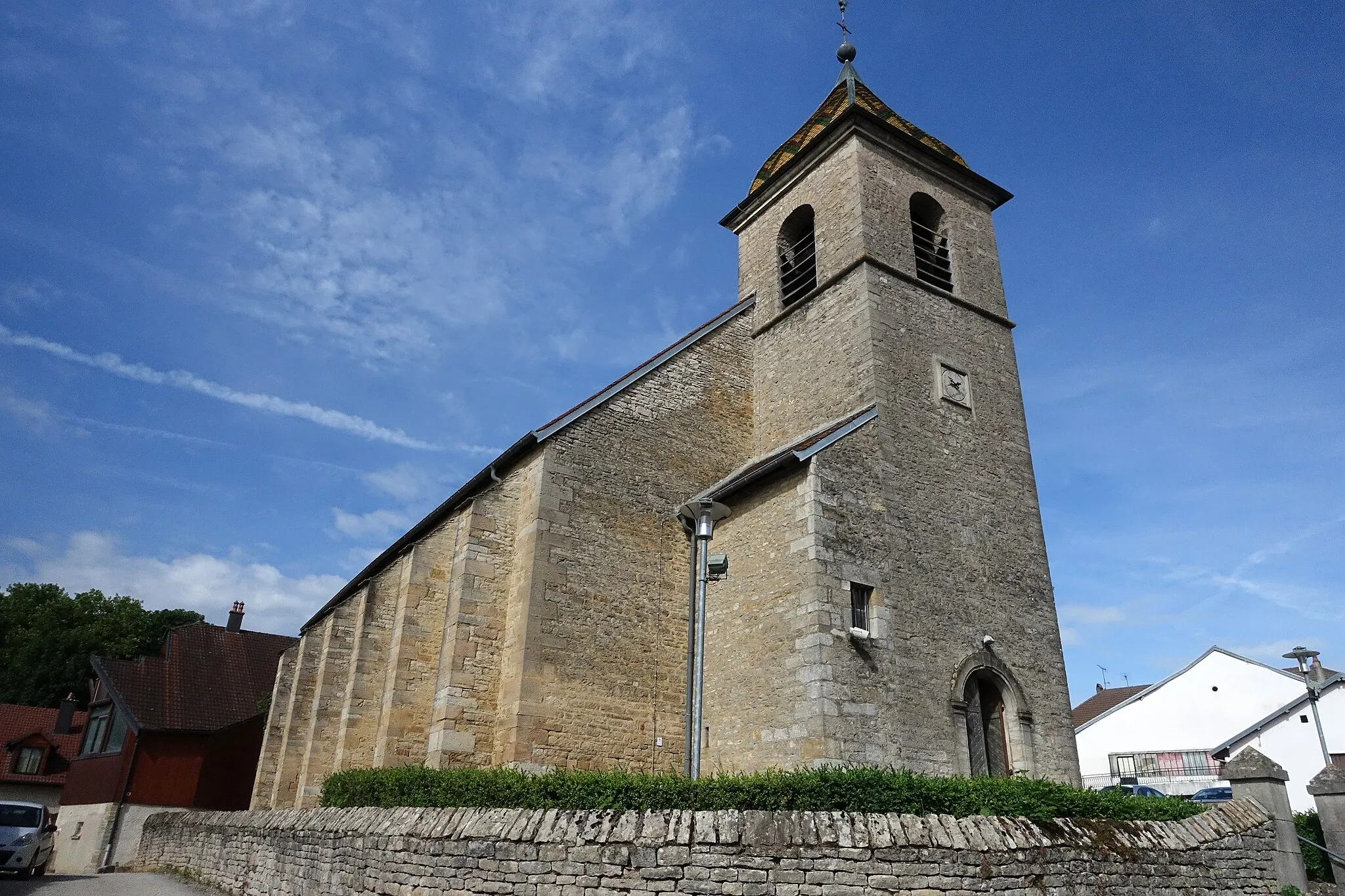
CourcuireVillageExperience the bucolic beauty of Courcuire, a charming village surrounded by rolling hills and green meadows.
47 km
47 km
VelleclaireVillageAdmire the scenic landscapes of Velleclaire, a village known for its beautiful countryside and picturesque architecture.
62 km
62 km
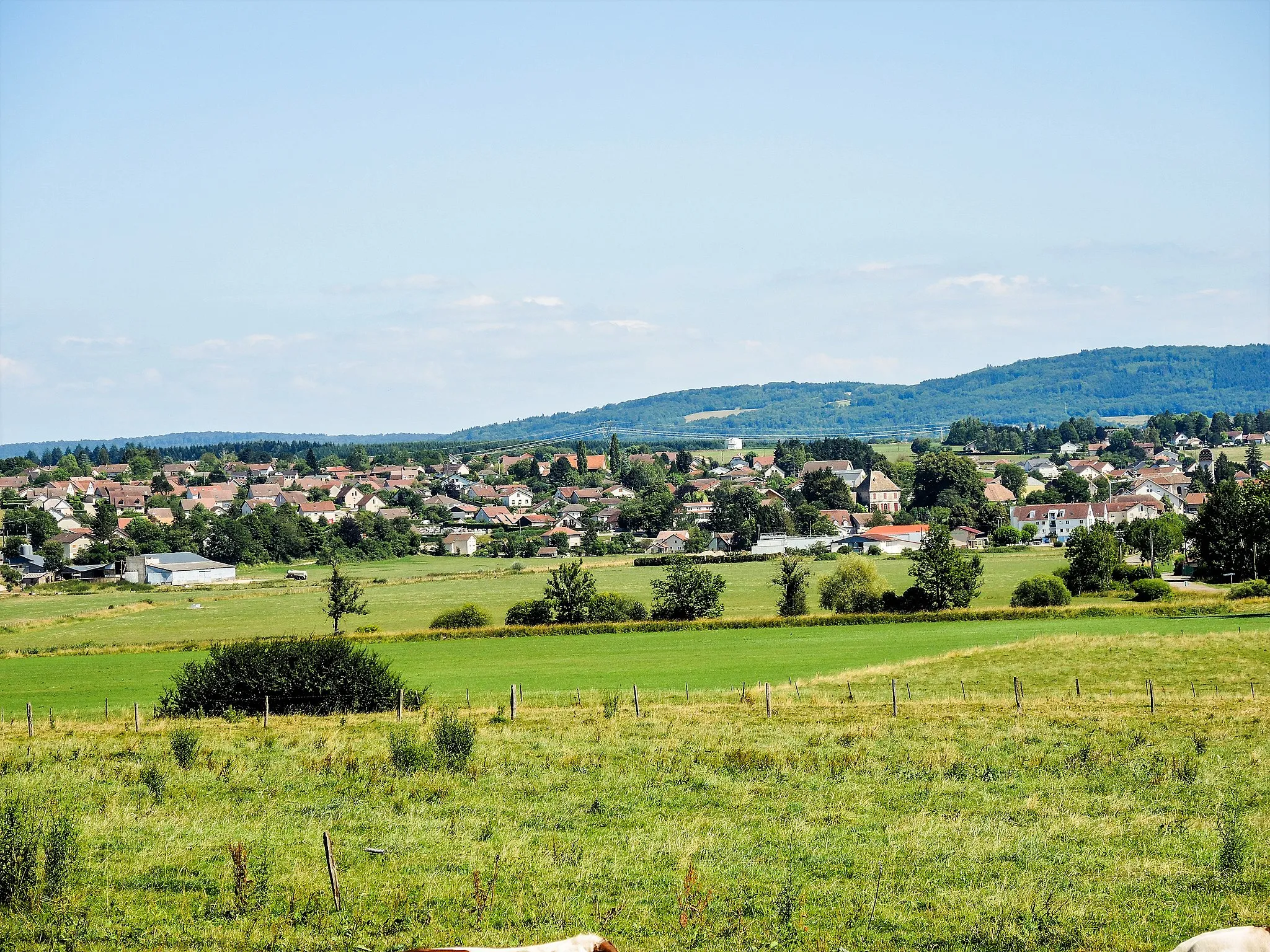
Montarlot-lès-RiozVillageMarvel at Montarlot-lès-Rioz, a delightful farming village with traditional Franche-Comté charm.
77 km
77 km
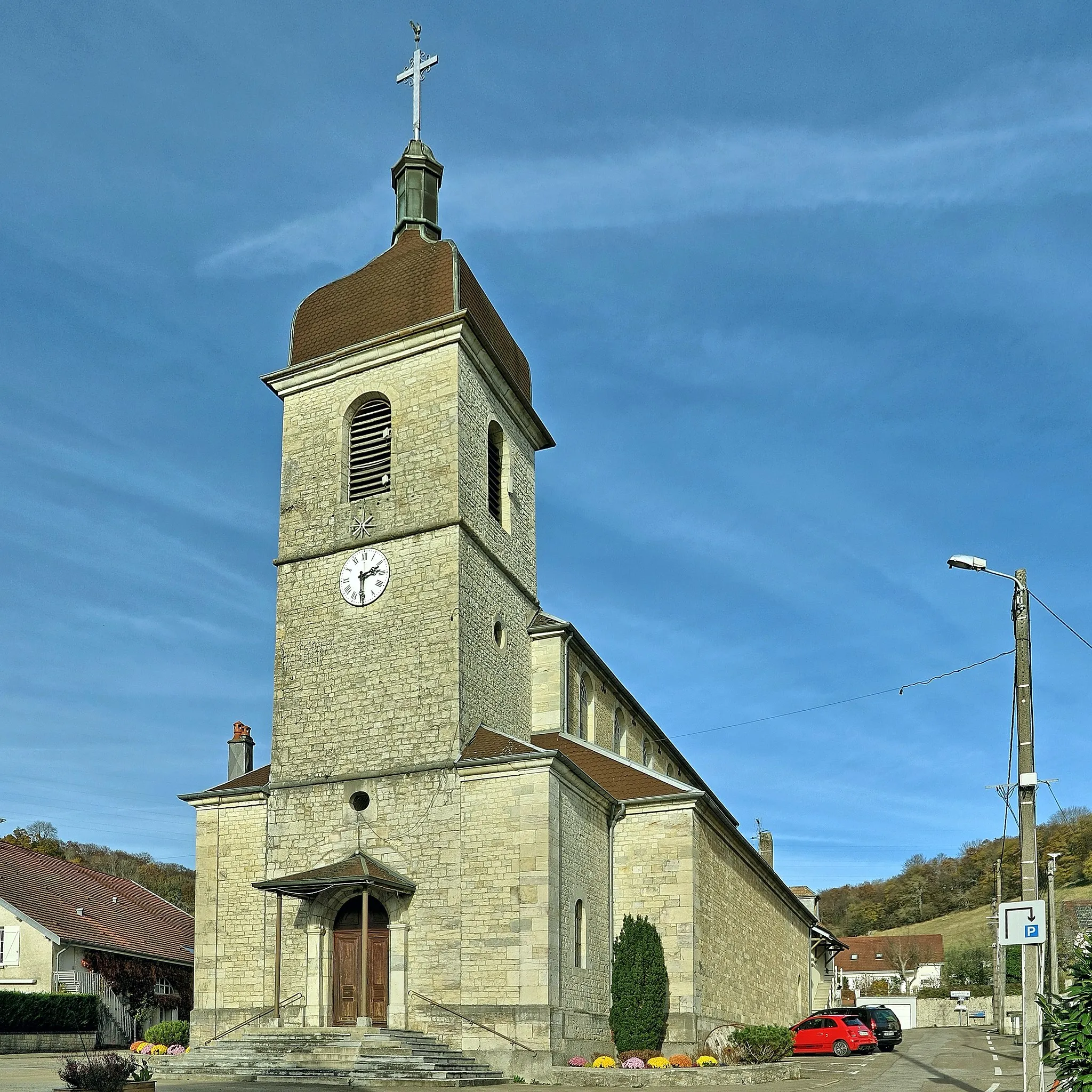
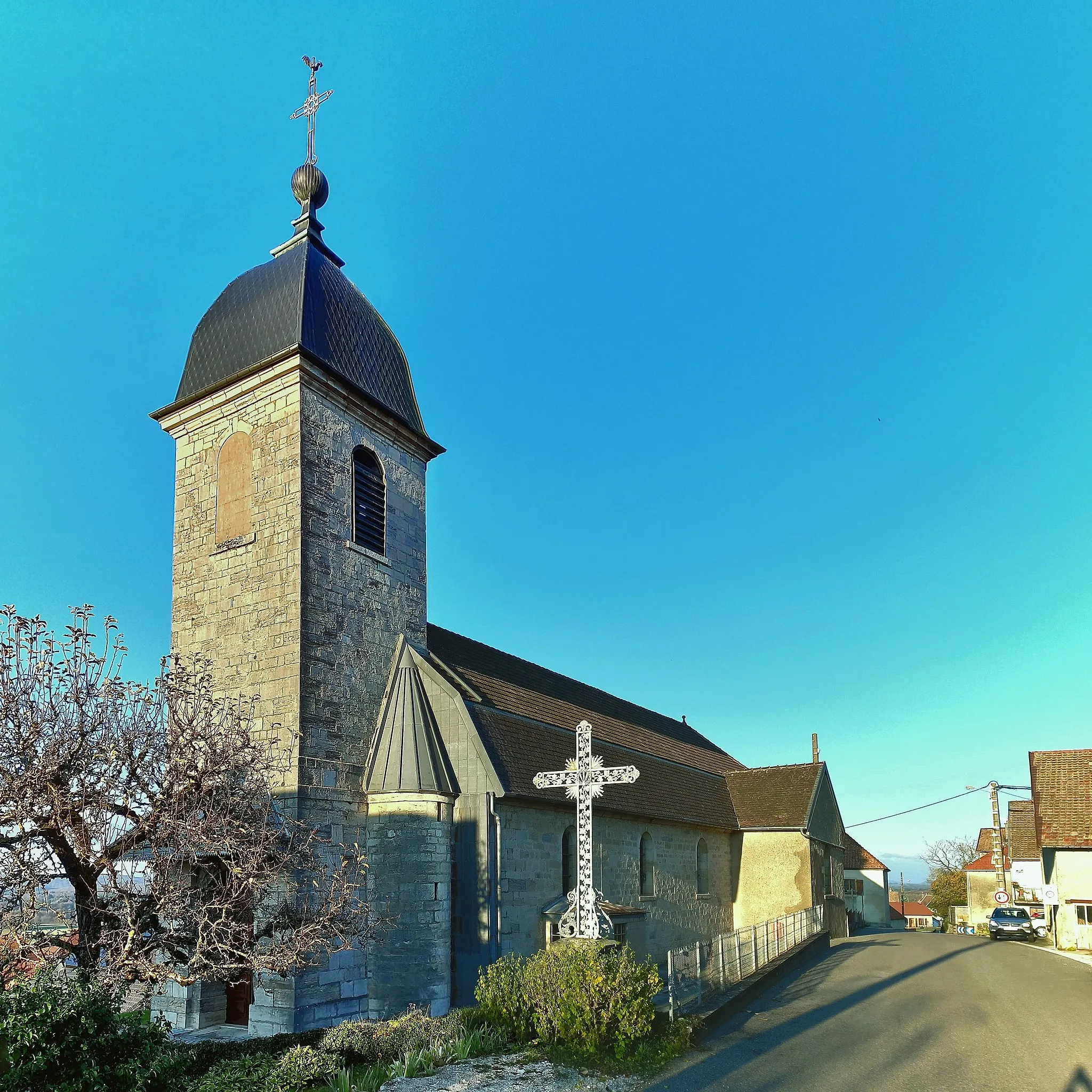
VieilleyVillageTake a break in Vieilley and explore its historical sites, including the Romanesque Church of Saint-Martin.
80 km
80 km
Col de la Côte Chazot467 mMountain PassConquer the Col de la Côte Chazot, a challenging climb that rewards cyclists with breathtaking views at the summit.
91 km
91 km
ThiseVillageEnd your journey in Thise, a charming village known for its medieval castle ruins and scenic surroundings.
96 km
96 km
Finish: Novillars Village centerNovillars: Hidden cycling gem flanked by stunning countryside.
Cycling routes nearby: