Luxeuil-les-Bains Cycling Route
A road cycling route starting from Saint-Sauveur
Experience the charm of Luxeuil-les-Bains on this scenic cycling route
Map

This cycling route takes you through picturesque landscapes and charming towns, offering a mix of natural beauty and cultural attractions. With a moderate difficulty level, it is suitable for well-trained amateur cyclists. The route spans a distance of 70 kilometers with a total ascent of 1200 meters.
road
70 km
1200 m
Tough
Route profile
Highlights on the route
0 km
0 km
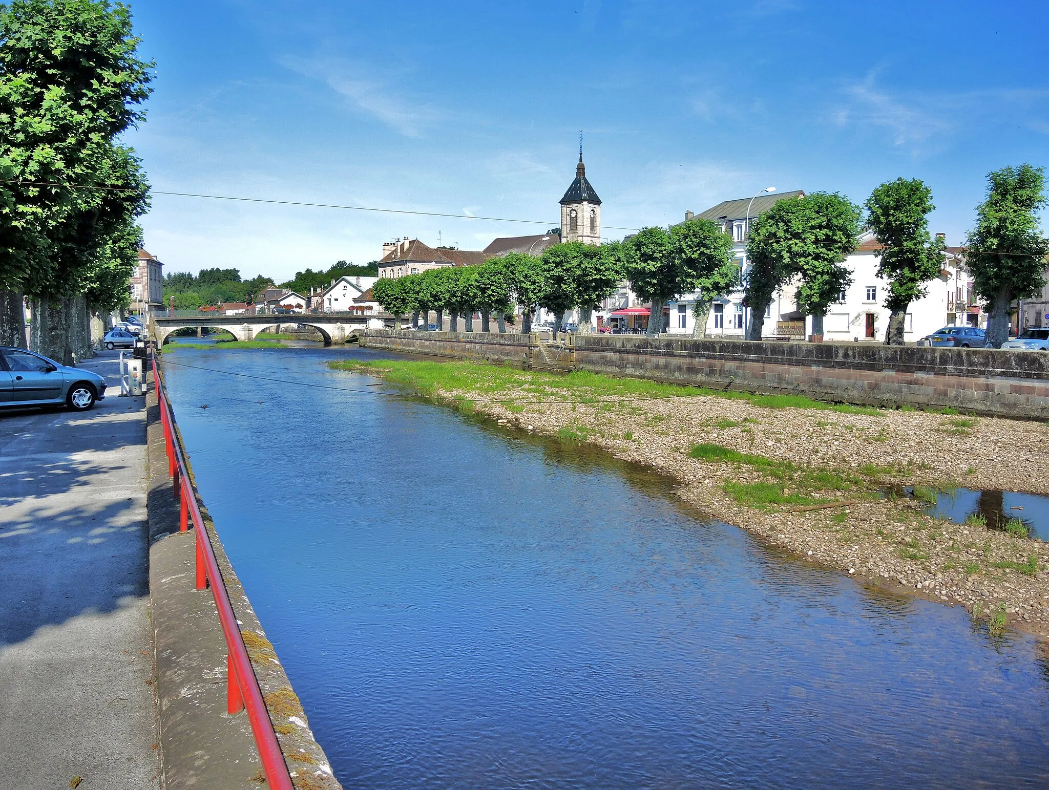
Start: Saint-Sauveur Village centerSaint-Sauveur: Pleasant rides through scenic hills and villages of Franche-Comté.
Saint-Sauveur, situated in the Franche-Comté region of France, is a pleasant locality for road and gravel cyclists. The area features scenic routes through rolling hills and picturesque villages, providing enjoyable rides for all levels of cyclists. While there are no famous climbs in the immediate vicinity, Saint-Sauveur is close to the Jura Mountains, offering more challenging cycling opportunities. Cyclists can also explore the Doubs River and its breathtaking gorges, immersing themselves in the natural beauty of the region.1 km
1 km
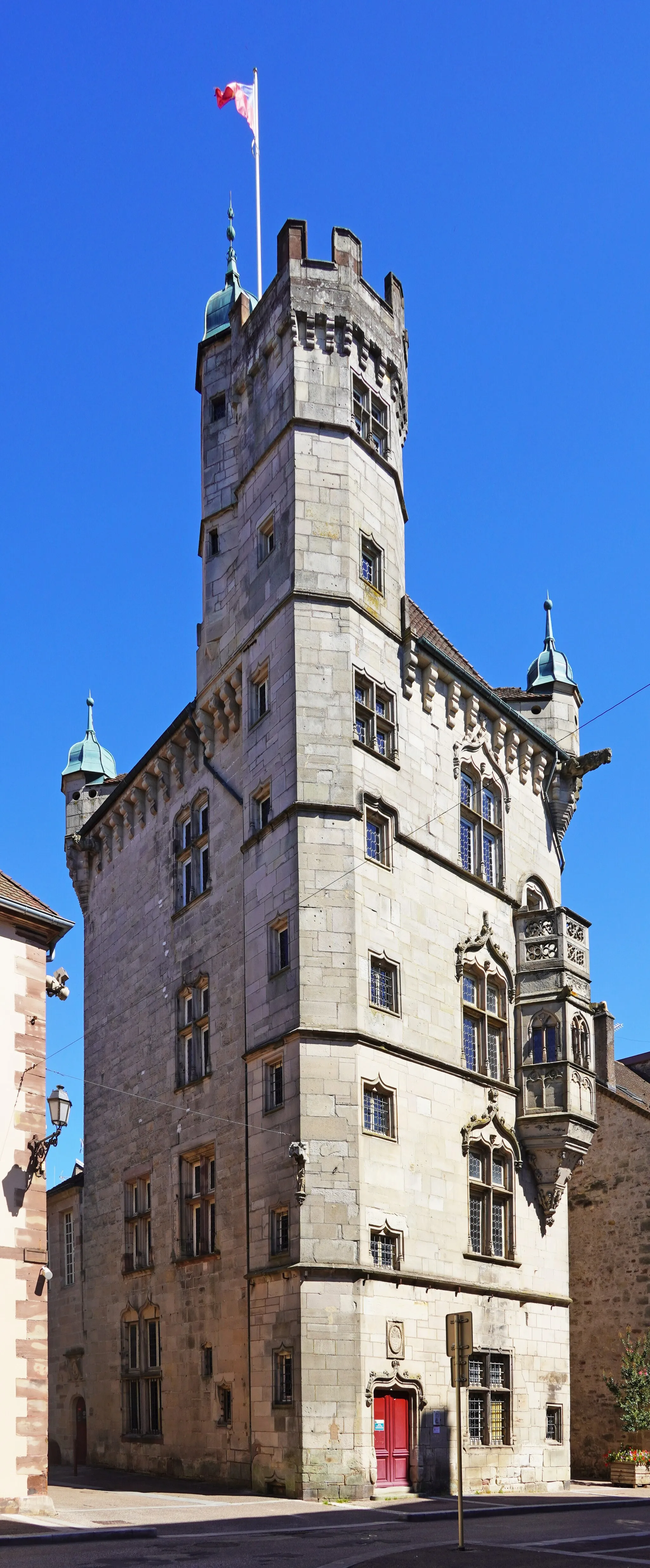
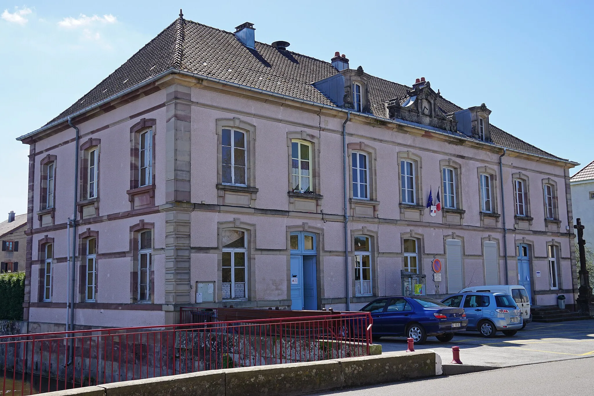
Luxeuil-les-BainsTownExplore the historic town of Luxeuil-les-Bains known for its thermal baths and medieval architecture.
11 km
11 km
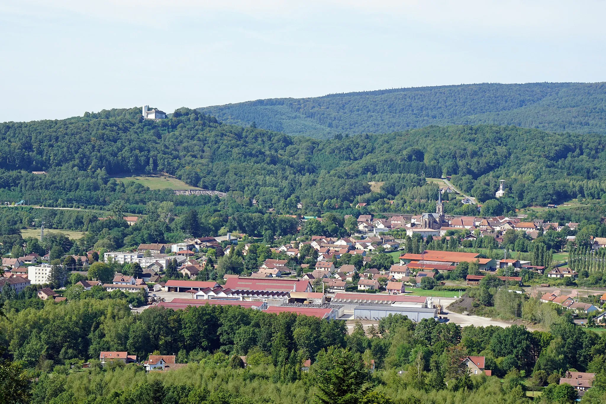
FougerollesVillageVisit Fougerolles, famous for its cherry orchards and distilleries producing fruit brandies.
28 km
28 km
Roche JoséphineViewpointAdmire the stunning views from Roche Joséphine, a limestone cliff overlooking the surrounding countryside.
35 km
35 km
Girmont-Val-d'AjolVillagePass through Girmont-Val-d'Ajol, a charming village known for its beautiful timber-framed houses.
58 km
58 km
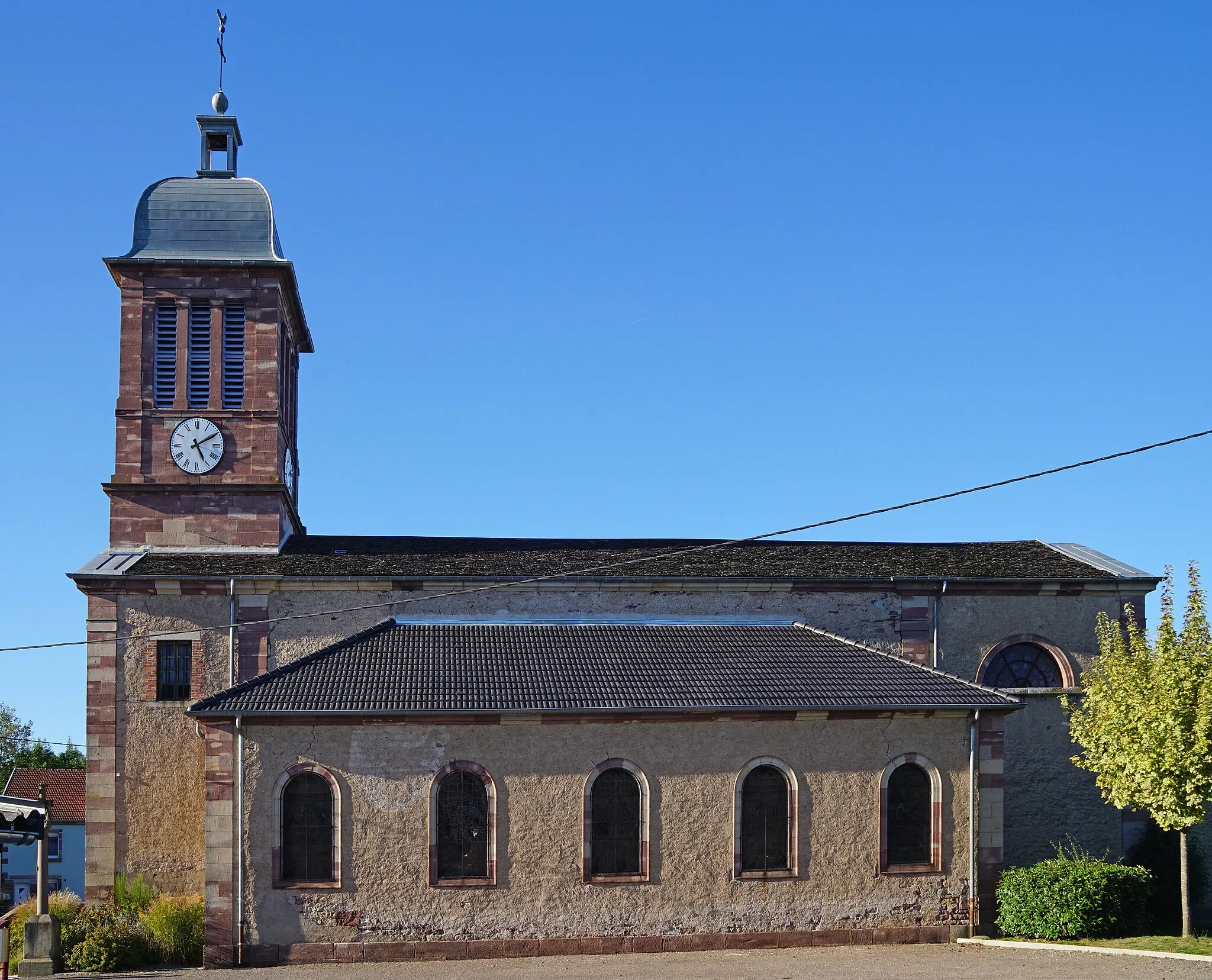
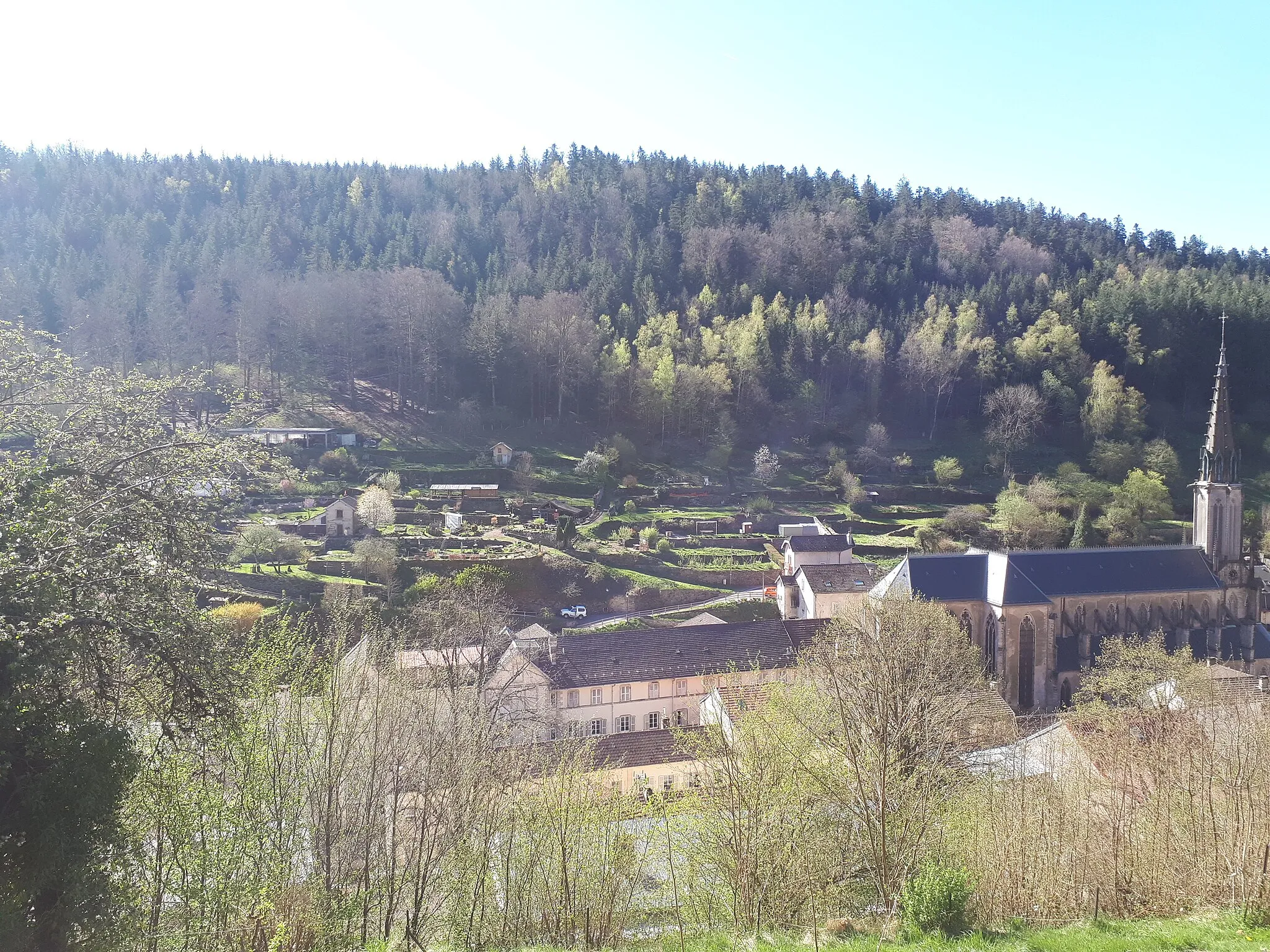
La Proiselière-et-LangleVillageDiscover La Proiselière-et-Langle, a small village with a charming chapel surrounded by meadows and forests.
70 km
70 km
Finish: Saint-Sauveur Village centerSaint-Sauveur: Pleasant rides through scenic hills and villages of Franche-Comté.
Cycling routes from Saint-Sauveur:
Cycling routes nearby: