Enjoy Cycling in Arnières-sur-Iton
Cycling routes from Arnieres-sur-Iton
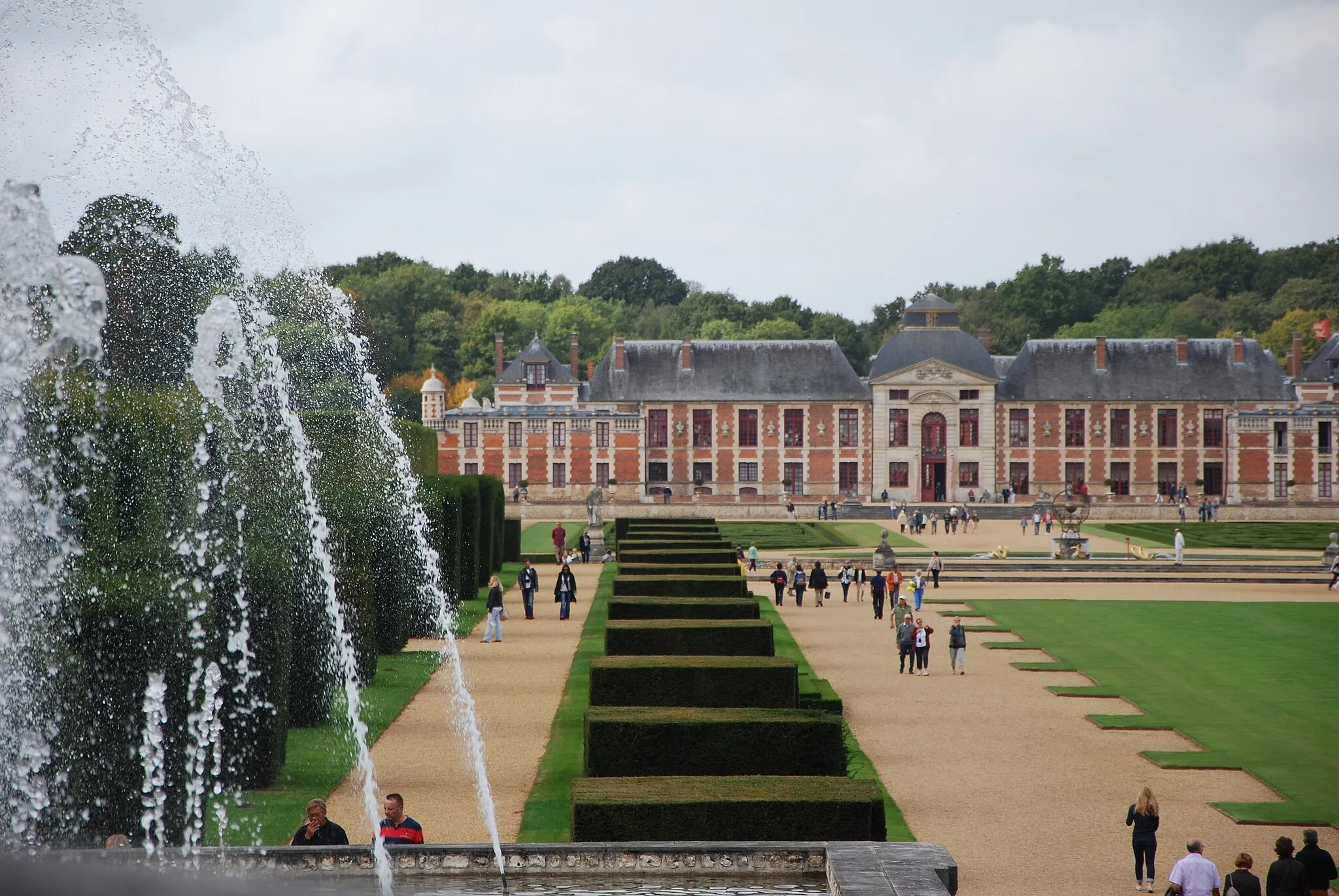
Arnières-sur-Iton is a quaint town located in Haute-Normandie, France. As a road and gravel cyclist, you will find a pleasant cycling experience in this area. The roads are well-maintained and offer scenic views of the surrounding countryside. While there are no famous cycling spots in immediate proximity, the nearby Eure department provides opportunities for longer rides and exploration. Arnières-sur-Iton earns a rank of 3 for its cycling options.
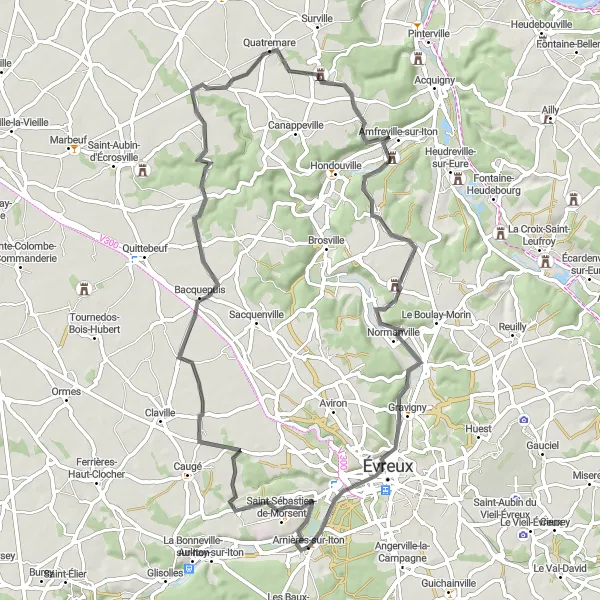
Explore the medieval castles of Haute-Normandie on this adventurous road cycling route
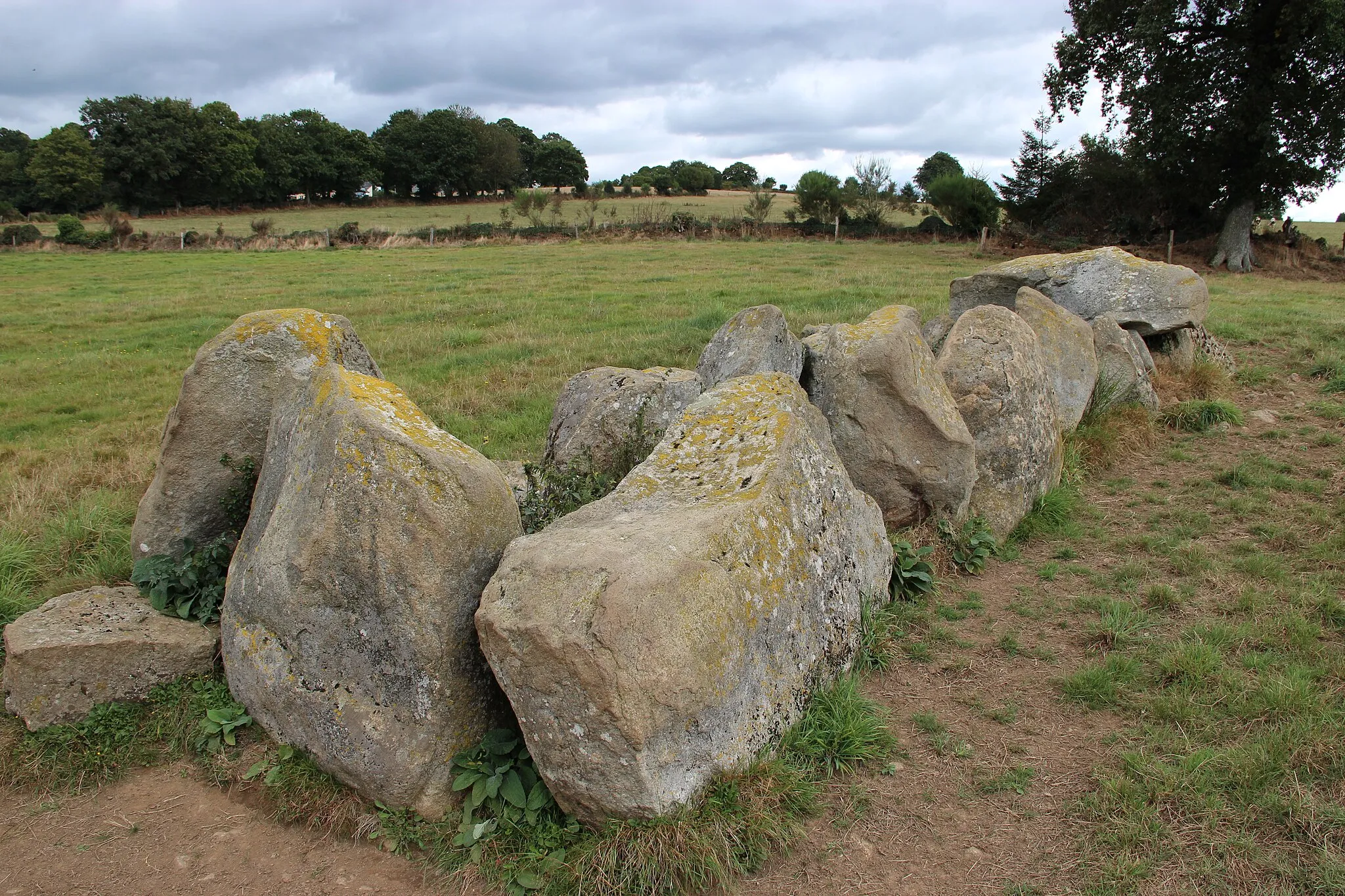
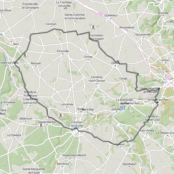
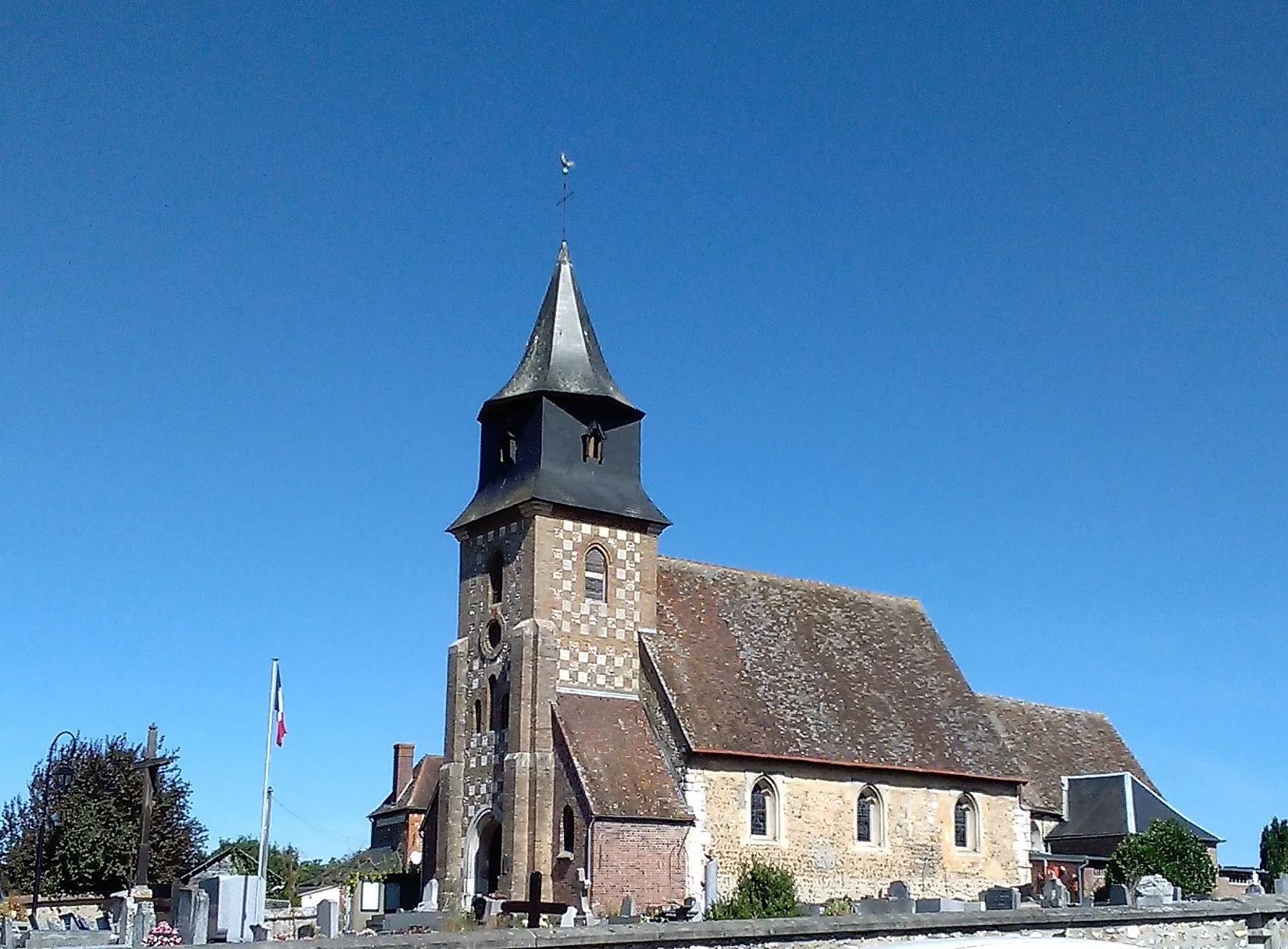
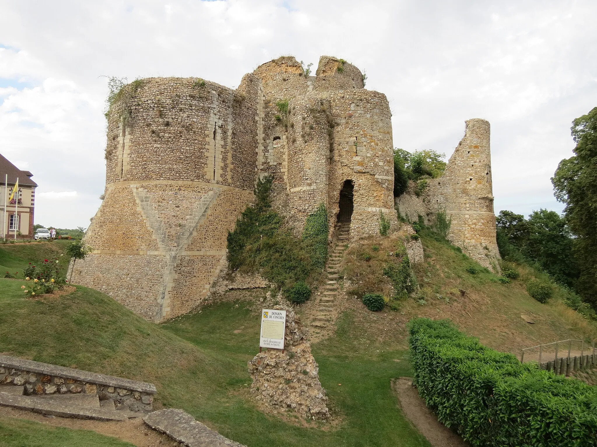
The Chemin des Châteaux is a 69 km road cycling route near Arnières-sur-Iton that takes riders on a journey through the medieval history of Haute-Normandie. With an ascent of 357 meters, this route provides a moderate challenge for well-trained amateurs. The route passes through several highlights, including Les Baux-Sainte-Croix at 3 km, Conches-en-Ouche at 17 km, Collandres-Quincarnon at 26 km, Combon at 41 km, Claville at 54 km, and Saint-Sébastien-de-Morsent at 64 km. These highlights offer riders the opportunity to explore ancient castles, historic sites, and picturesque villages along the way.
Enjoy a leisurely road ride exploring the idyllic surroundings of Arnières-sur-Iton.
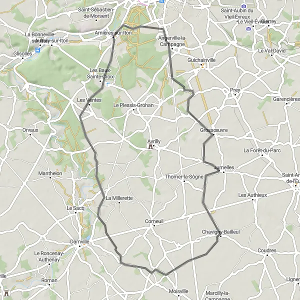
Experience leisurely road cycling on this route around the peaceful countryside near Arnières-sur-Iton. Covering a distance of 48 kilometers and featuring an ascent of 144 meters, this route is suitable for all skill levels and tends to be less challenging. The pleasant roads take you through picturesque villages and provide picturesque views of the surrounding landscapes. Along the way, highlights like Grossœuvre, known for its beautiful 13th-century church, and Chavigny-Bailleul, with its charming rural charm, offer engaging sights and a glimpse into the region's history. Sylvains-les-Moulins, situated at the 38 kilometer mark, is a tranquil village that captivates visitors with its quaint atmosphere. Finally, Les Baux-Sainte-Croix, at the 44 kilometer point, showcases stunning landscapes and scenic countryside vistas.
Circuito du Éveil
Discover the charm of Haute-Normandie through this picturesque cycling route
The Circuito du Éveil is a 65 km road cycling route near Arnières-sur-Iton that offers riders the chance to explore the beautiful scenery of Haute-Normandie. With an ascent of 371 meters, this route provides a moderate challenge for well-trained amateurs. The route passes through several highlights, including Saint-Sébastien-de-Morsent at 4 km, Feuguerolles at 23 km, Venon at 30 km, Amfreville-sur-Iton at 41 km, and Gravigny at 57 km. These highlights offer interesting sights and historical landmarks for riders to enjoy along the way.
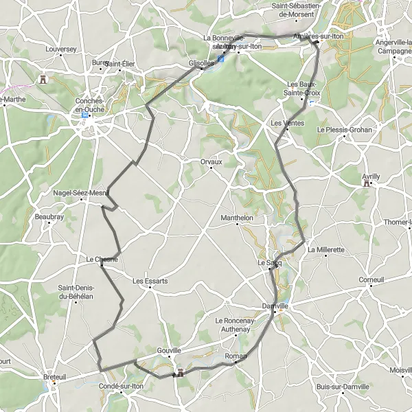
Experience the natural beauty of Haute-Normandie on this scenic road cycling route
The Haute-Normandie Loop is a 58 km road cycling route near Arnières-sur-Iton that showcases the natural beauty of the region. With an ascent of 251 meters, this route provides a good challenge for well-trained amateurs. The route passes through several highlights, including Les Baux-Sainte-Croix at 3 km, Le Sacq at 14 km, Gouville at 24 km, Le Chesne at 35 km, La Bonneville-sur-Iton at 52 km, and Arnières-sur-Iton at 58 km. These highlights offer riders the chance to explore picturesque villages, scenic landscapes, and peaceful natural environments.

Immerse yourself in the beauty of nature on this scenic gravel circuit near Arnières-sur-Iton.
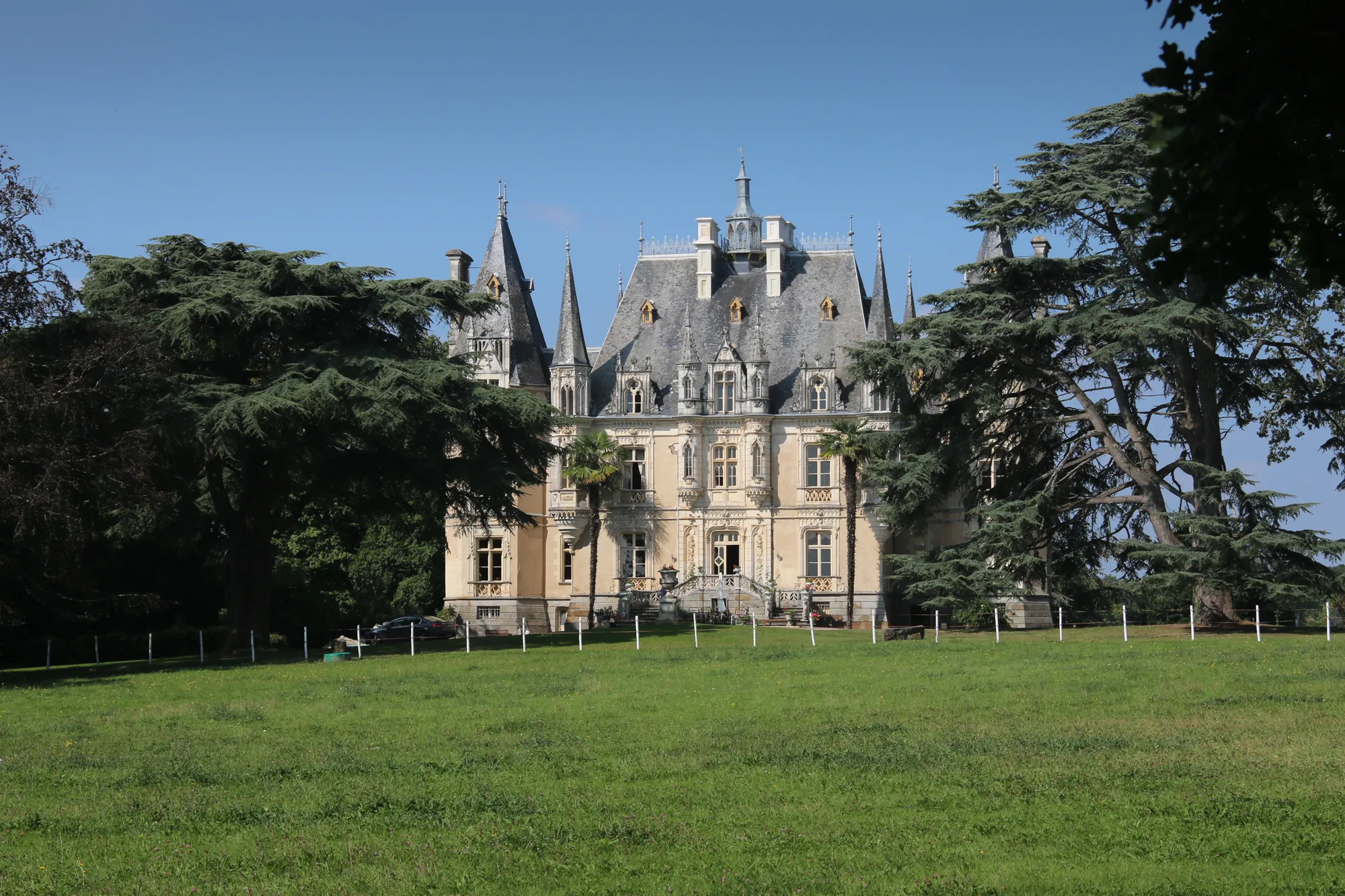
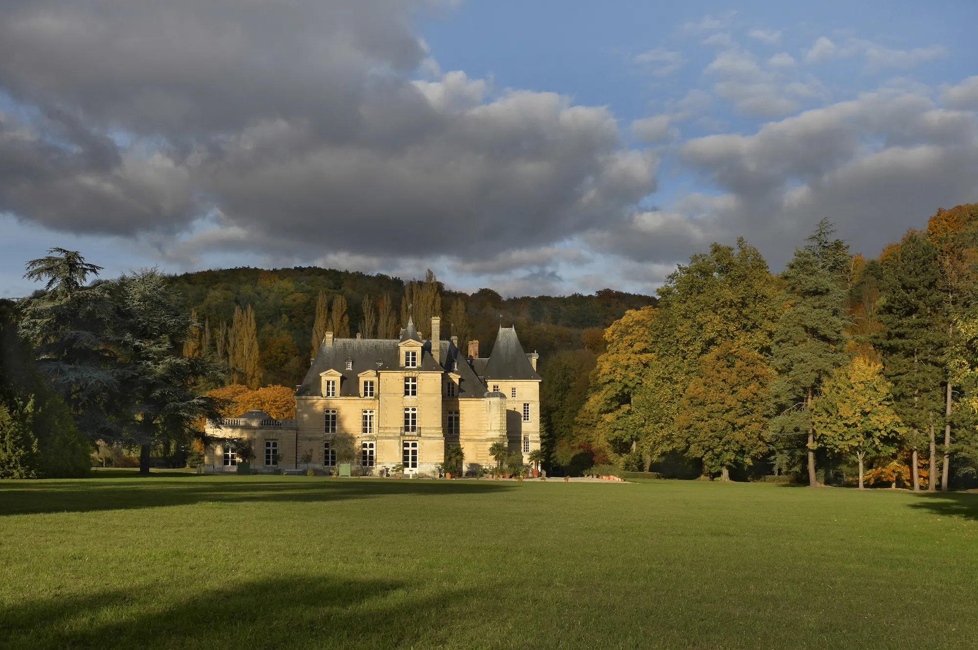
Embark on a cycling adventure amidst breathtaking landscapes with this gravel circuit near Arnières-sur-Iton. With a distance of 89 kilometers and an ascent of 609 meters, this route is recommended for experienced cyclists looking for a challenging ride. The circuit offers a mix of smooth and more technical gravel sections, providing a thrilling cycling experience. Along the way, you'll encounter highlights such as Évreux, a city known for its historical sites and cultural heritage. Amfreville-sur-Iton, situated approximately 26 kilometers into the route, is another notable highlight. This village is home to the Château Saint-Just, a stunning mansion surrounded by beautiful gardens and a lake. Val-de-Reuil, at the 43 kilometer mark, is a modern town known for its green spaces and contemporary architecture. The picturesque village of Saint-Pierre-du-Vauvray, located at the 51 kilometer point, also offers charming views of the Seine River.
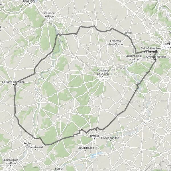
Uncover the hidden delights of Haute-Normandie on this adventurous road cycling route
The Circuit du Secret Normand is a 104 km road cycling route near Arnières-sur-Iton that offers riders the chance to uncover the hidden treasures of Haute-Normandie. With an ascent of 477 meters, this route provides a good challenge for well-trained amateurs. The route passes through several highlights, including Les Baux-Sainte-Croix at 3 km, Les Essarts at 17 km, Bémécourt at 29 km, Ambenay at 41 km, Bosc-Renoult-en-Ouche at 59 km, Émanville at 82 km, and Saint-Sébastien-de-Morsent at 100 km. These highlights offer riders the opportunity to explore secluded villages, beautiful countryside, and historic landmarks.

Embark on a scenic road cycling escape near Arnières-sur-Iton and explore the pastoral landscapes of Normandy.
Immerse yourself in the charming rural landscapes of Normandy with this road cycling route near Arnières-sur-Iton. Covering a distance of 76 kilometers and featuring an ascent of 411 meters, this route is suitable for cyclists with moderate fitness levels. Enjoy the smooth roads that wind through picturesque villages and lush green fields. Along the way, you'll encounter highlights such as Cierrey, a village known for its historic 12th-century church, Église Saint-André. Merey, another quaint village on the route, offers a peaceful ambiance with its beautiful Norman houses. Cycle further and reach the scenic village of Saint-André-de-l'Eure, known for its stunning 17th-century château. The final highlight on this route is Angerville-la-Campagne, a charming village with vibrant flower displays that bring life to the town during the summer months.
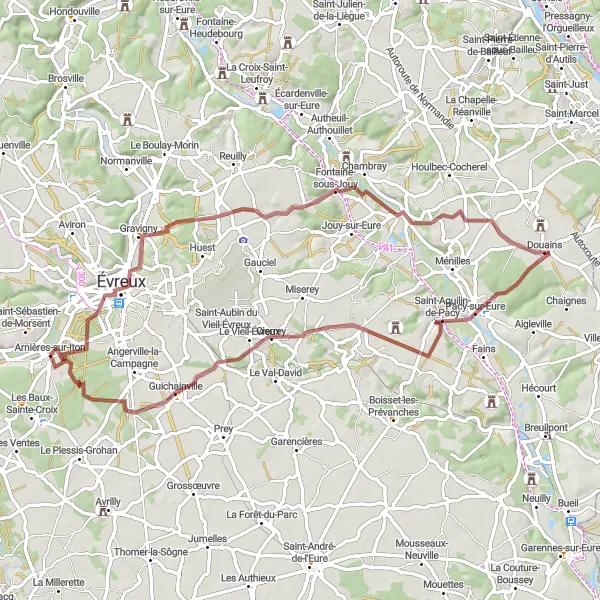
Embark on a gravel adventure through the scenic landscapes of Normandy near Arnières-sur-Iton.
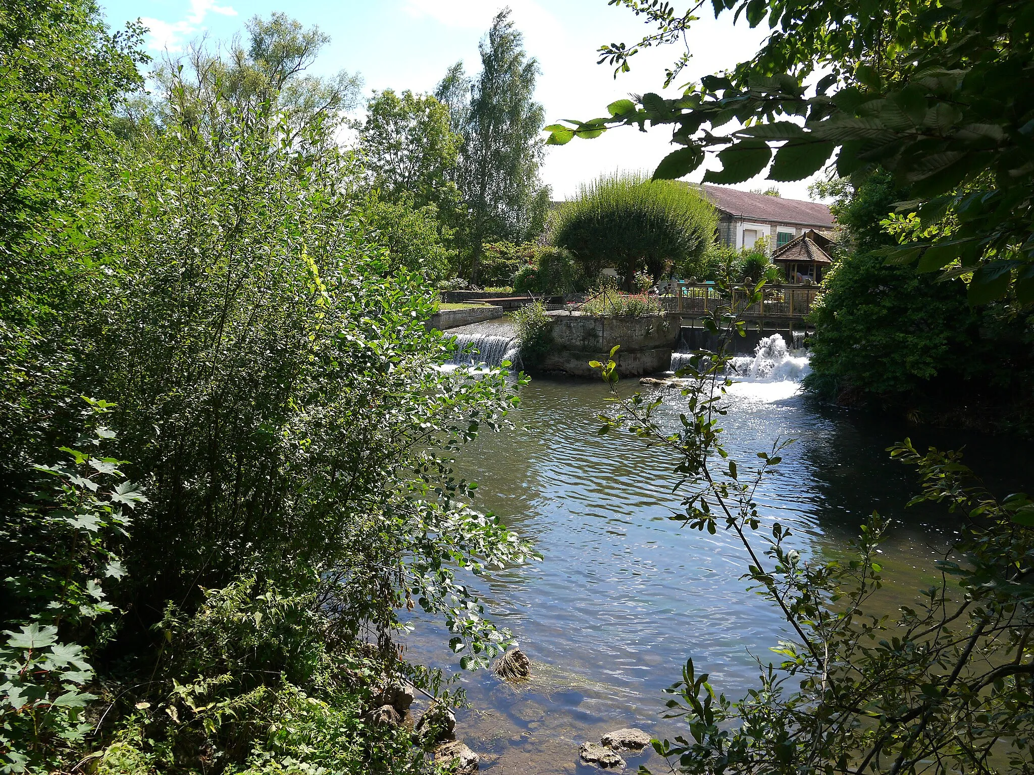
Experience the beauty of Normandy on this gravel exploration near Arnières-sur-Iton. With a distance of 65 kilometers and an ascent of 537 meters, this route is recommended for cyclists with intermediate skills. The gravel roads offer a mix of challenging and manageable terrain, providing an exciting cycling experience. As you navigate the route, you'll come across highlights such as Évreux, a city known for its rich history and architectural landmarks. Chambray, situated approximately 21 kilometers into the route, offers a charming landscape with its traditional Norman houses. Douains, at the 32 kilometer point, showcases beautiful rural vistas and quaint village life. Cierrey, located at the 50 kilometer mark, is another noteworthy highlight with its historical sites and old-world charm. Finally, Guichainville, near the end of the route, presents stunning views of the Eure River and its surrounding valley.

Enjoy the scenic valleys and rural charm of Haute-Normandie on this road cycling route
The Circuit des Vallées is a 61 km road cycling route near Arnières-sur-Iton that takes riders through the scenic valleys and charming rural areas of Haute-Normandie. With an ascent of 380 meters, this route provides a moderate challenge for well-trained amateurs. The route passes through several highlights, including Les Baux-Sainte-Croix at 7 km, Les Essarts at 21 km, Beaubray at 38 km, Conches-en-Ouche at 46 km, and Morsent at 58 km. These highlights offer riders the chance to enjoy beautiful landscapes, peaceful villages, and interesting historical landmarks along the way.
Explore the charming countryside near Arnières-sur-Iton, filled with picturesque villages and scenic routes.
This round-trip cycling route takes you through the beautiful Haute-Normandie region of France, starting near the town of Arnières-sur-Iton. The route covers a distance of 88 kilometers with a total ascent of 384 meters. As you pedal through the idyllic countryside, you'll encounter several highlights along the way.
Cycling routes nearby:

Nearby regions: