Tranquil cycling in the Haute-Normandie region.
Cycling routes from Bois-Guillaume
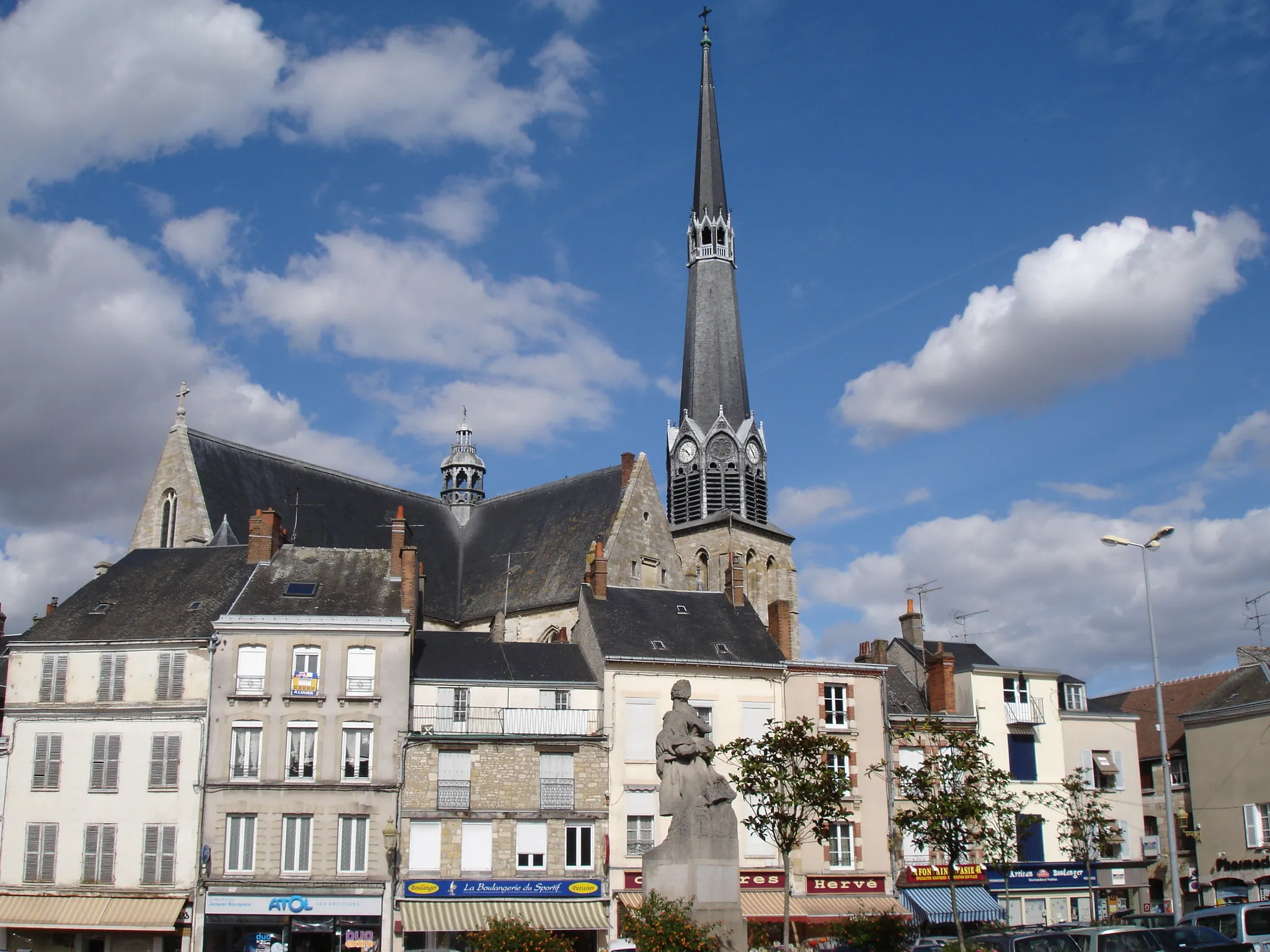
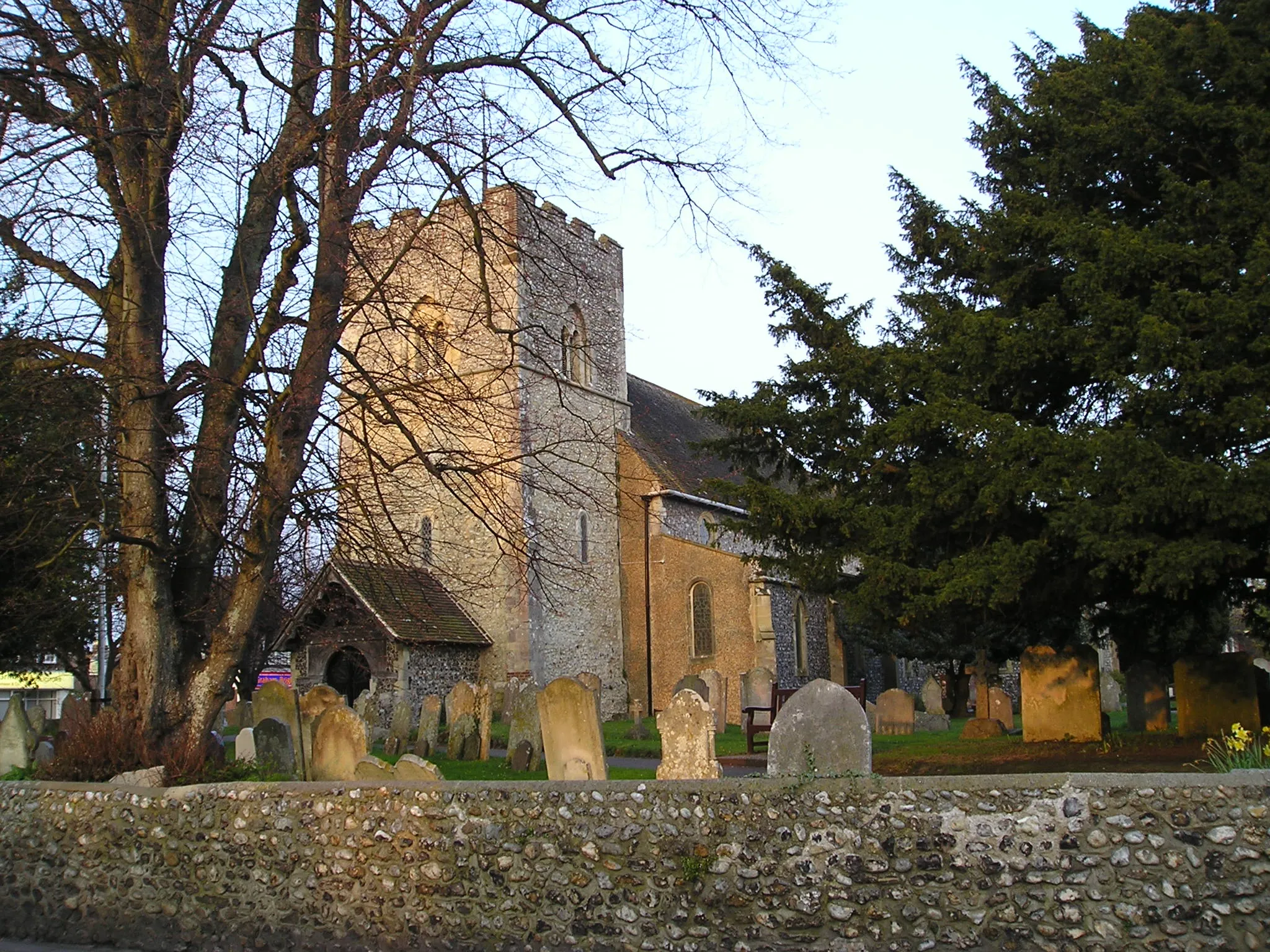
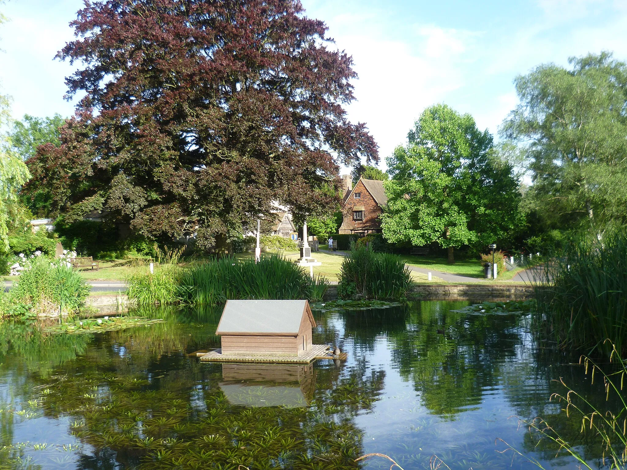
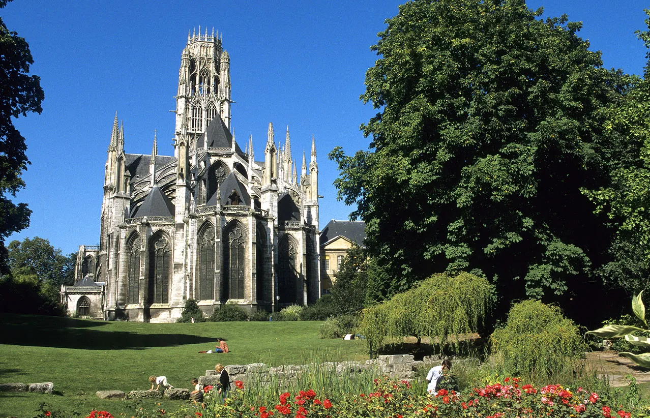
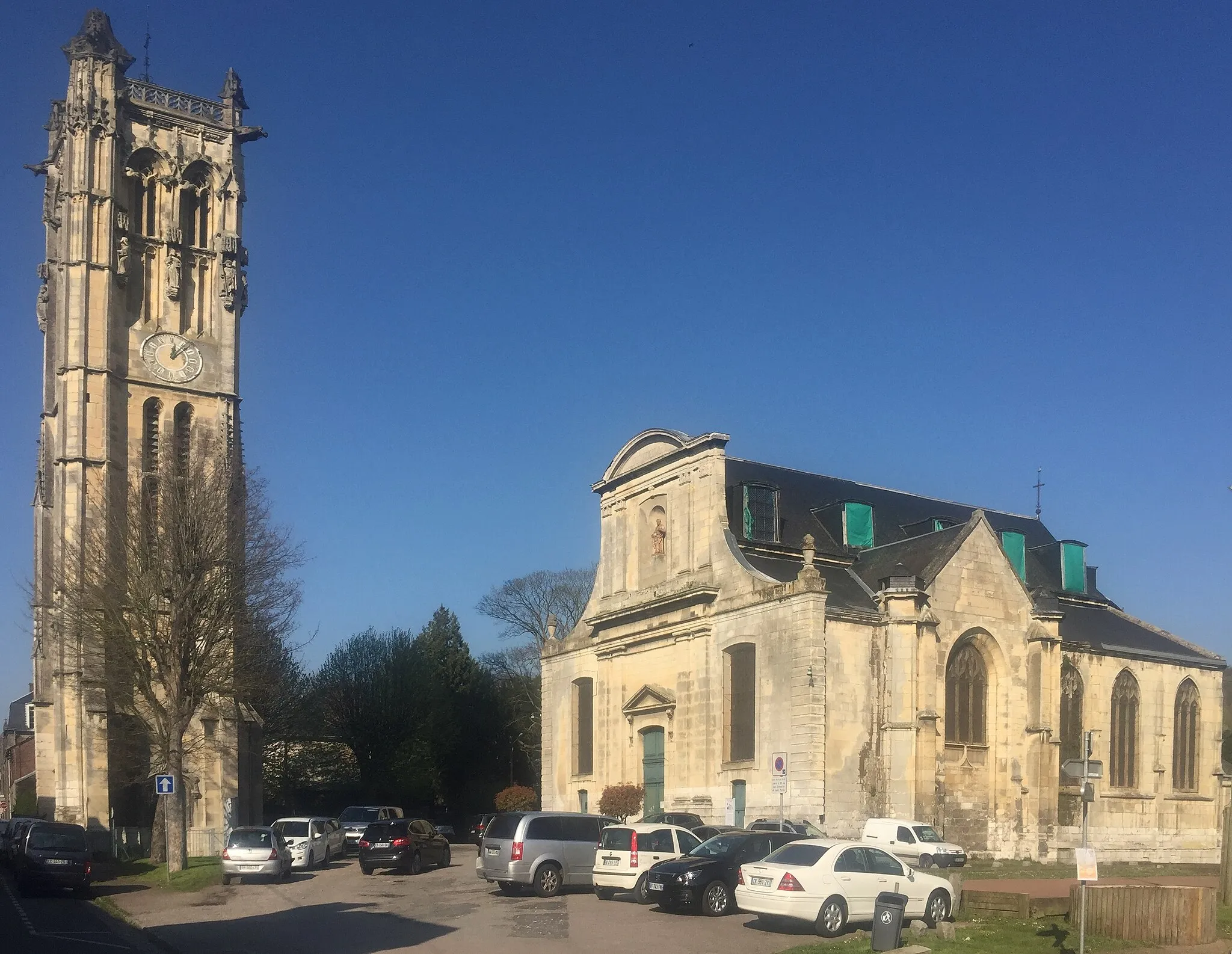
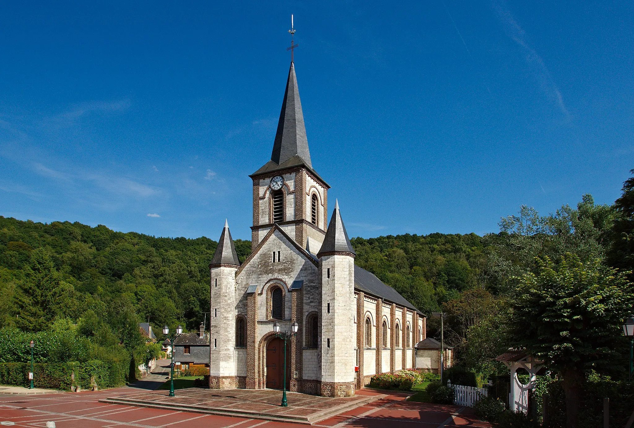
Bois-Guillaume, situated in the Haute-Normandie region of France, offers a pleasant cycling experience with its quiet country roads and scenic landscapes. The locality is surrounded by lush green fields and charming rural villages, creating a peaceful atmosphere for cyclists to enjoy. There are several well-marked cycling routes, suitable for both road and gravel cyclists. For those seeking a challenge, nearby 'Les Monts-Mauluie' is a well-known climb with steep gradients and rewarding views at the top. With its tranquil setting and enjoyable cycling routes, Bois-Guillaume is a great destination for cyclists seeking some tranquility.
Cycling along beautiful scenic routes to reach Mont-Saint-Aignan
This route takes you from Bois-Guillaume to Mont-Saint-Aignan, offering breathtaking panoramas along the way. With a total ascent of 590 meters and a distance of 74 kilometers, this moderate difficulty ride is perfect for amateur cyclists. The highlights of this route include the Panorama de Mont-Saint-Aignan, which offers stunning views of the surrounding countryside, and the village of Barentin, known for its charming picturesque streets. Scored at 4 out of 5, these highlights are definitely worth stopping by.
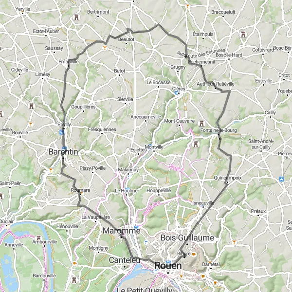
A thrilling ride through picturesque landscapes to Mont Fortin
Embark on a thrilling cycling adventure from Bois-Guillaume to Mont Fortin, covering a distance of 76 kilometers with an elevation gain of 901 meters. Along the route, you will pass by the Panorama de Mont-Saint-Aignan, where you can enjoy magnificent views of the surrounding countryside. Highlights of this route include Canteleu, a charming village with historic architecture, and Duclair, known for its picturesque waterfront and quaint streets. With a score of 4 out of 5, these highlights are definitely worth a visit. This route offers a moderate level of difficulty and guarantees an epic experience for cyclists.
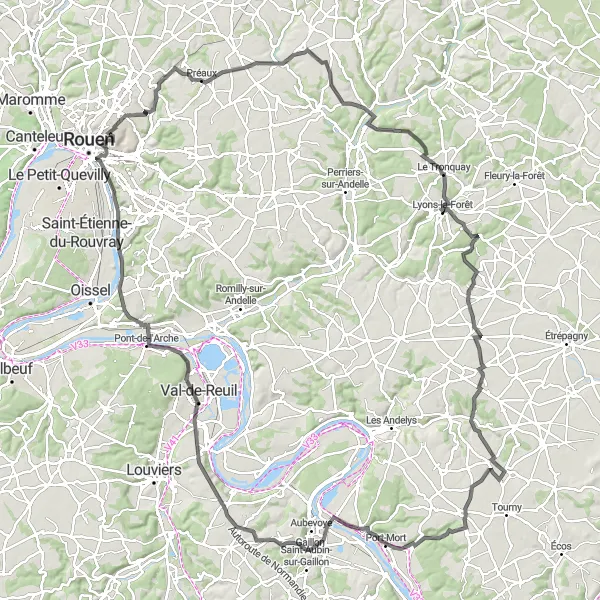
Embark on a grand cycling tour from Bihorel to Val-de-Reuil, passing through scenic landscapes and historic towns
This grand cycling tour takes you on a journey from the peaceful town of Bihorel to the lively town of Val-de-Reuil. Along the way, you will pass through picturesque landscapes, with rolling hills and charming villages. The route includes several challenging climbs, making it suitable for experienced cyclists. Highlights of the tour include the historic town of Lyons-la-Forêt, known for its half-timbered houses and beautiful market square, and the scenic village of Mézières-en-Vexin, located in the heart of the Vexin Regional Natural Park.
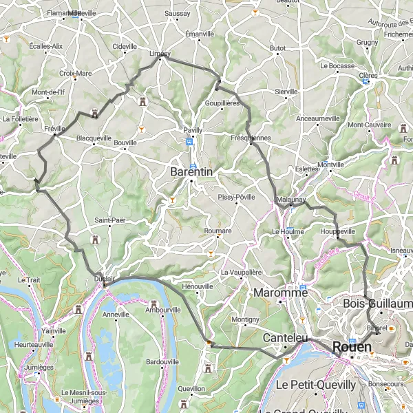
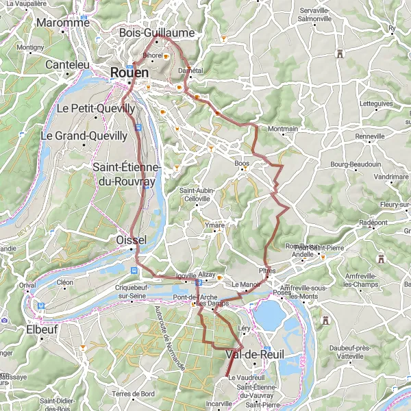
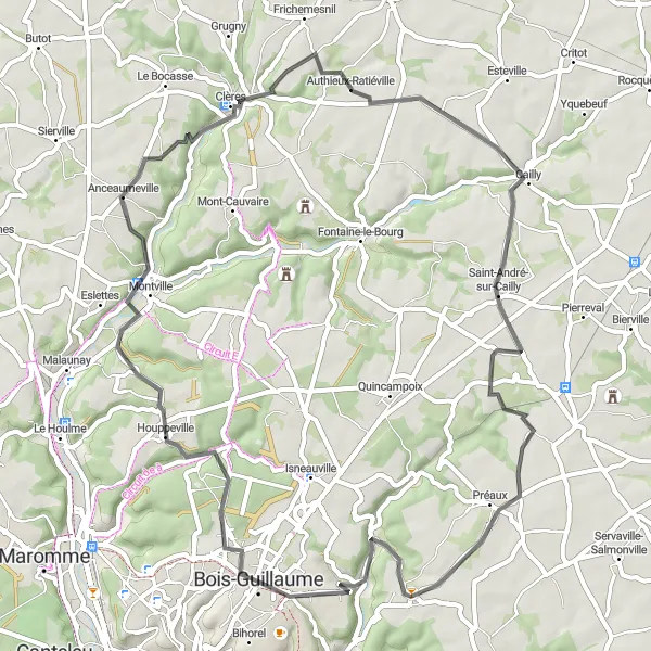
A journey through picturesque villages and rural landscapes to reach Mont Fortin
Embark on a scenic adventure from Bois-Guillaume to Mont Fortin, spanning over 111 kilometers with a total ascent of 906 meters. This road cycling route will take you through charming villages such as Romilly-sur-Andelle and Andé, where you can immerse yourself in their rich cultural heritage. The highlight of this route is the Table d'orientation de la cote des deux amants, a panoramic viewpoint that offers mesmerizing views of the surrounding countryside. With a score of 4 out of 5, this highlight is a must-visit. Overall, this route is of moderate difficulty and guarantees an epic cycling experience.
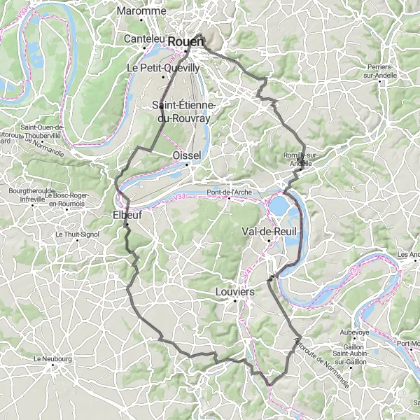
Embark on a gravel adventure from Darnétal to Rouen
This gravel cycling route takes you from the peaceful town of Darnétal to the vibrant city of Rouen. The route passes through scenic countryside, with rolling hills and picturesque villages. The gravel roads add an element of adventure to the ride, providing a new challenge for experienced cyclists. Highlights of the route include the picturesque village of La Neuville-Chant-d'Oisel, with its beautiful traditional buildings, and the Pont-de-l'Arche, a historic bridge crossing the River Seine.
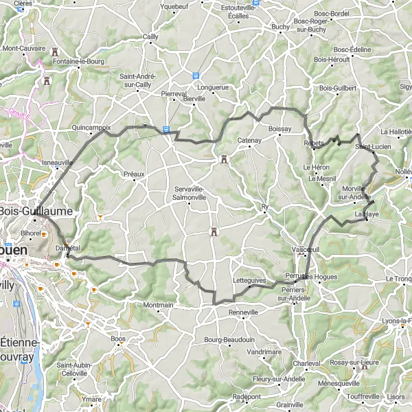
Explore the rural countryside on this scenic cycling route from Quincampoix to Vascœuil
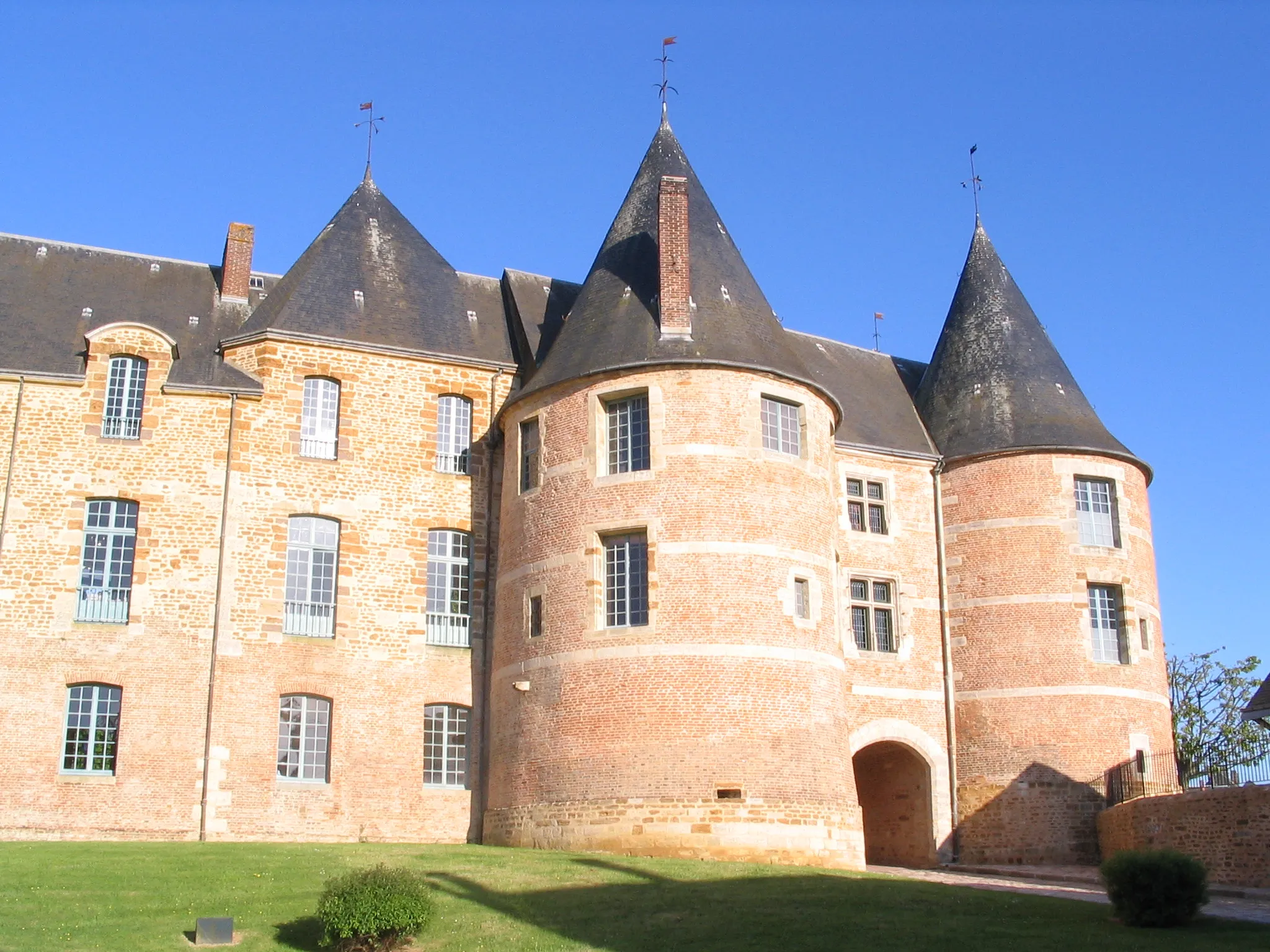
This scenic cycling route takes you through the beautiful rural countryside of Quincampoix and Vascœuil. The road is mostly flat, with some moderate climbs, making it suitable for cyclists of all levels. Along the way, you will pass through charming villages and enjoy stunning views of the surrounding countryside. Highlights of the route include the picturesque village of Morgny-la-Pommeraye, with its traditional half-timbered houses, and the Château de Vascœuil, a medieval castle surrounded by beautiful gardens.

Escape to the peaceful countryside on this cycling route from Darnétal to Rouen
This cycling route takes you from the bustling town of Darnétal to the historic city of Rouen. Along the way, you will pass through scenic countryside, with rolling hills and charming villages. The road is mostly flat, with some moderate climbs, making it suitable for cyclists of all levels. A highlight of this route is the breathtaking view from Panorama Rouen Est, where you can enjoy panoramic views of the city and surrounding countryside.
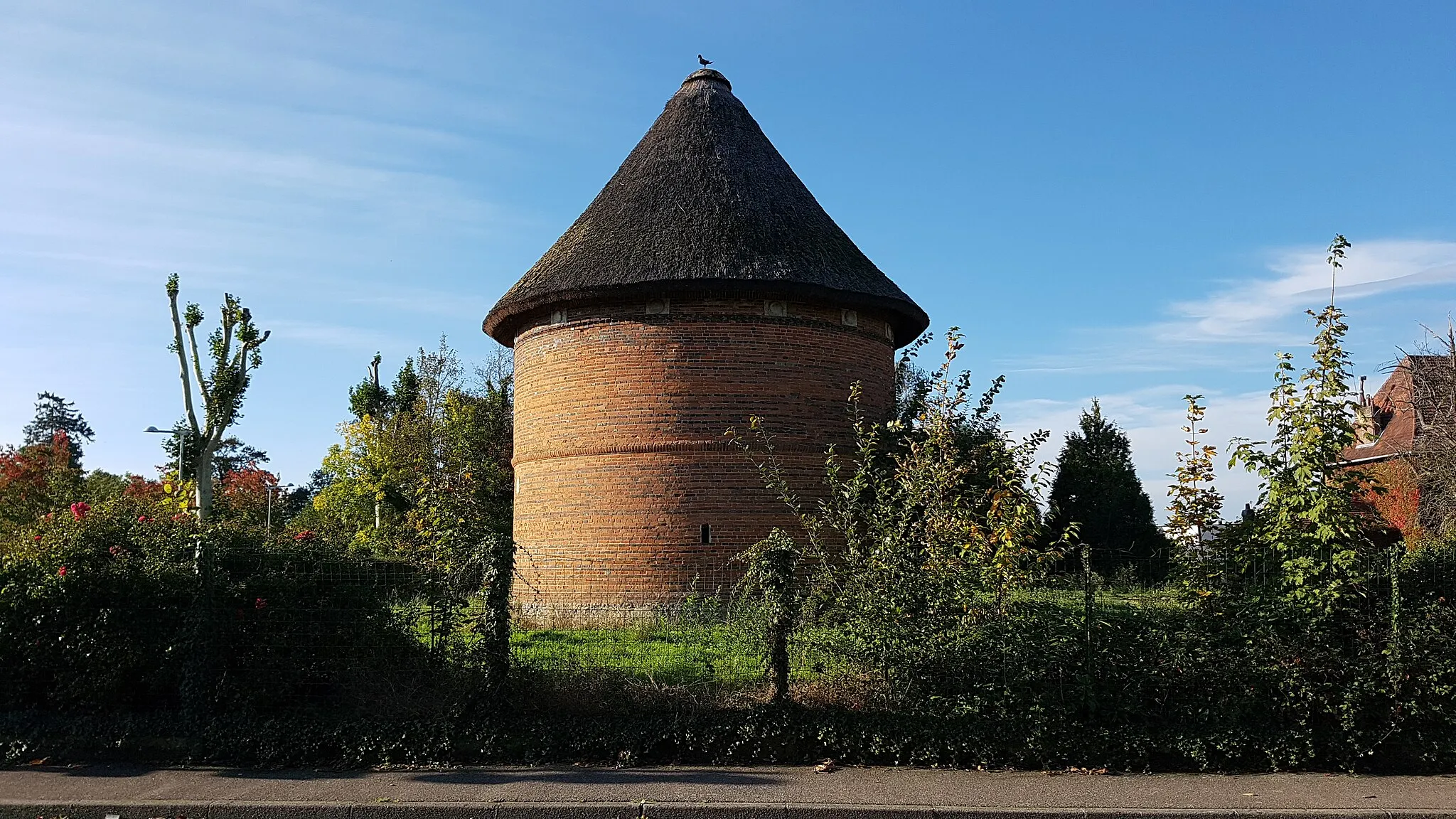
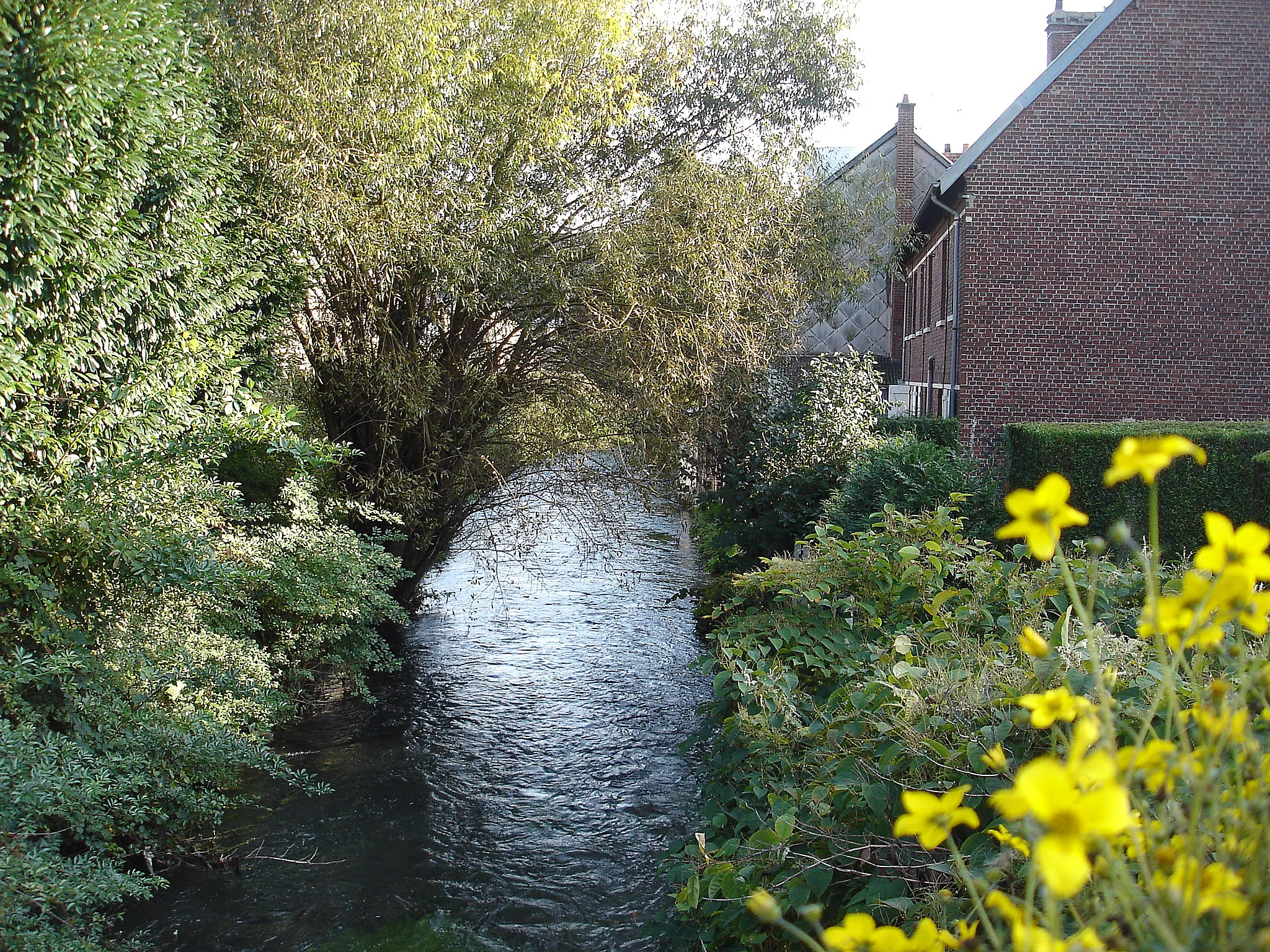
Discover the charming towns of Montville and Fontaine-sous-Préaux along this cycling route
This cycling route takes you through picturesque towns of Montville and Fontaine-sous-Préaux. Along the way, you will pass through scenic countryside, with beautiful views of rolling hills and charming villages. The road is mostly flat, with some moderate climbs, making it suitable for cyclists of all levels. A highlight of this route is the Cailly River, which runs alongside the road for much of the journey.
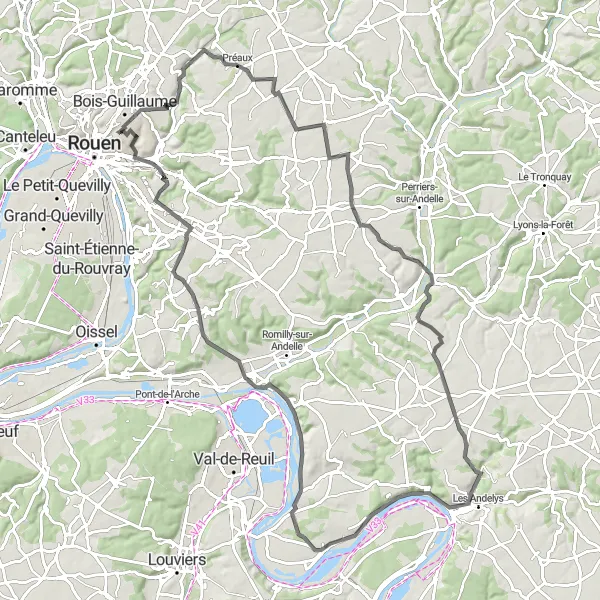
Exploring the beautiful landscapes and historic sites en route to Mont Fortin
Embark on a scenic tour from Bois-Guillaume to Mont Fortin, covering a distance of 98 kilometers with an elevation gain of 678 meters. The route takes you through picturesque villages such as Bihorel and Romilly-sur-Andelle, where you can immerse yourself in their rich cultural heritage. The highlight of this route is the Table d'orientation de la cote des deux amants, offering stunning panoramic views of the surrounding countryside. With a score of 4 out of 5, this highlight is not to be missed. Overall, this route provides a moderate level of difficulty and guarantees a memorable cycling experience for enthusiasts.
Cycling routes nearby:
Nearby regions: