Tranquil cycling through Haute-Normandie's countryside
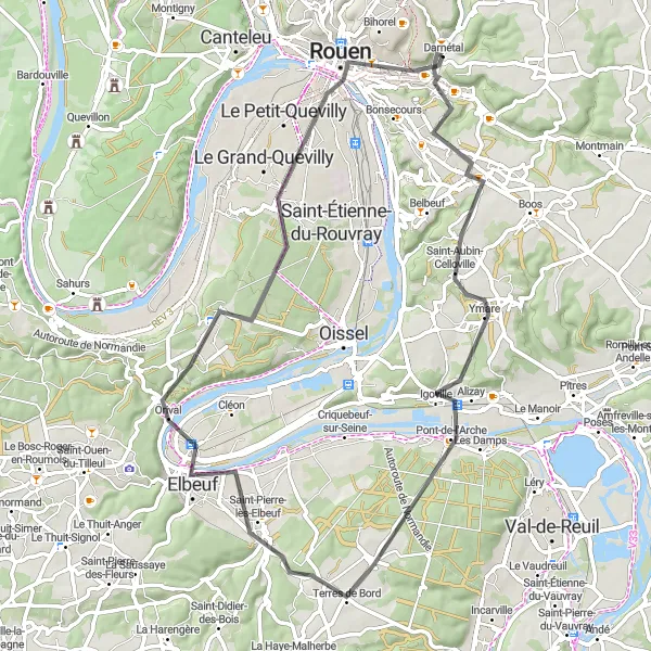
Cycling routes from Darnetal
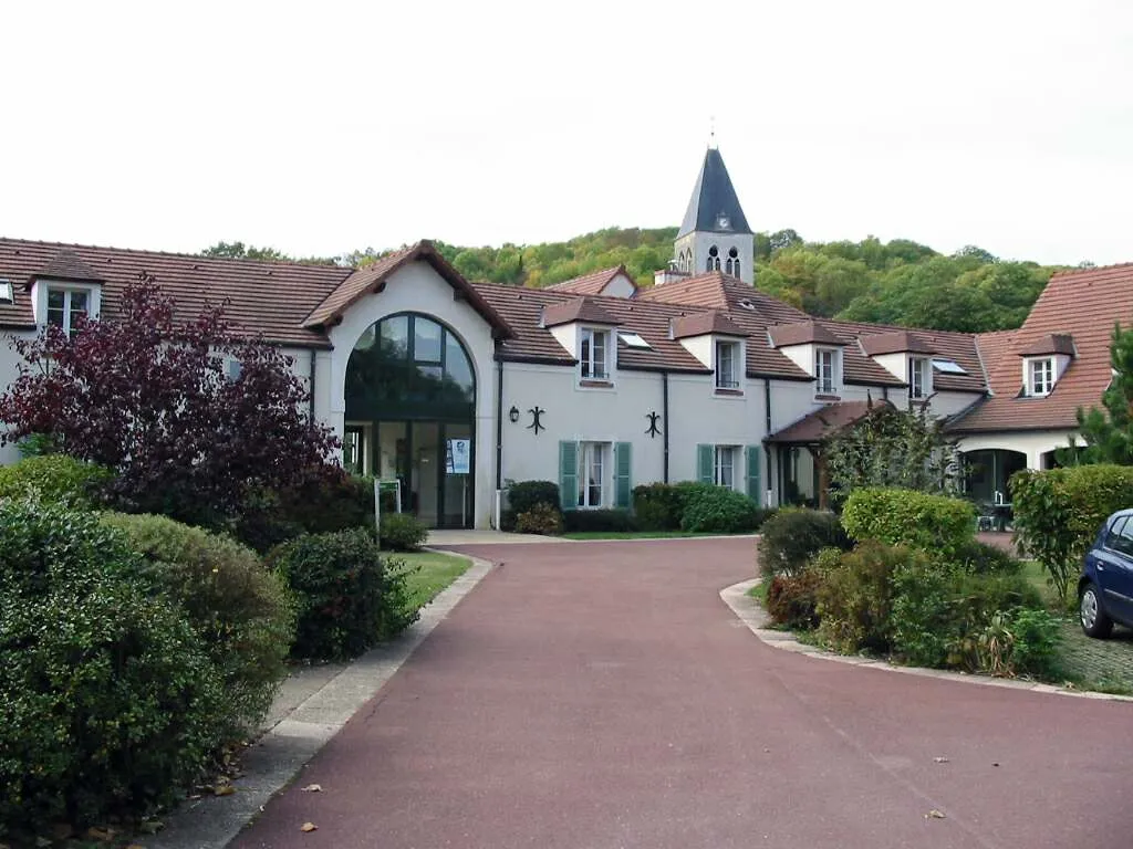
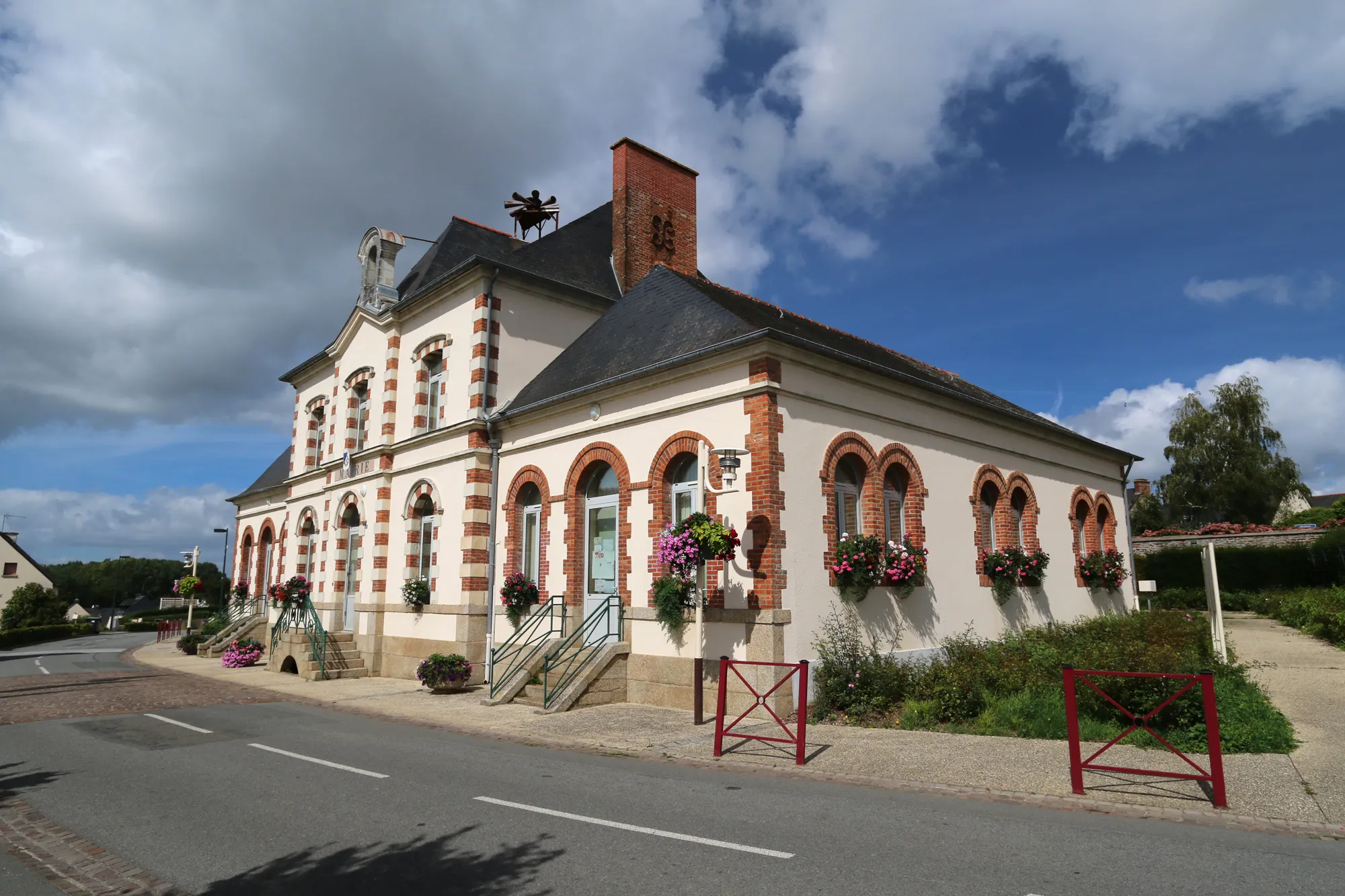
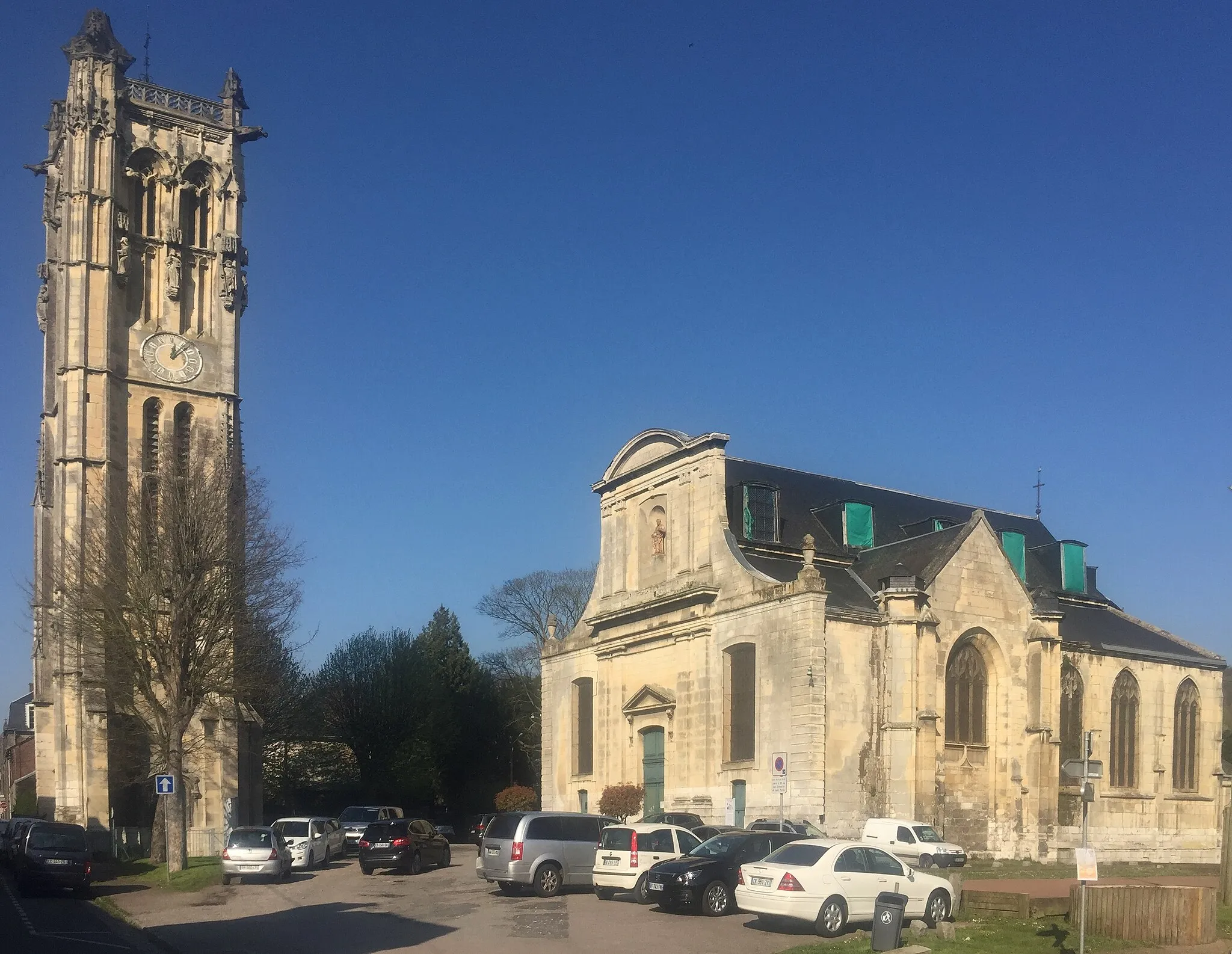
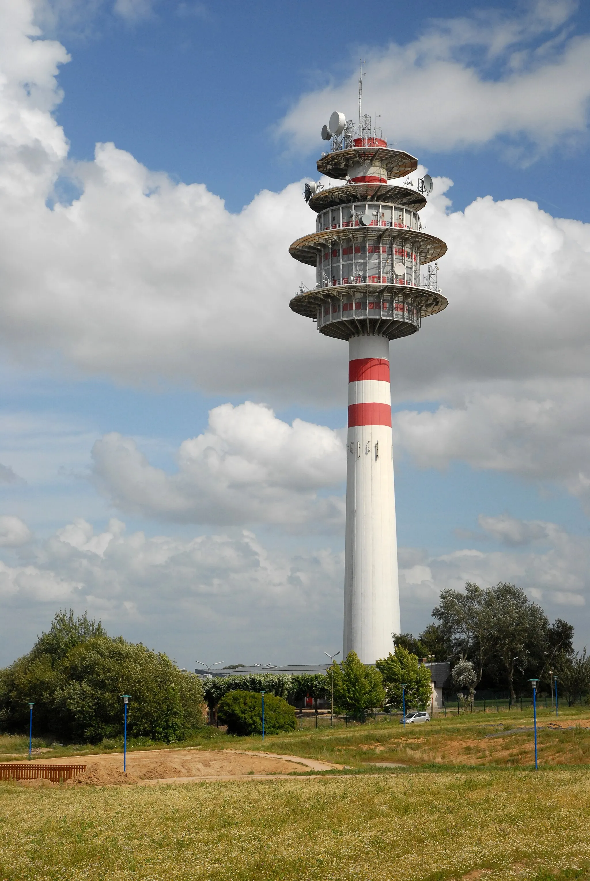
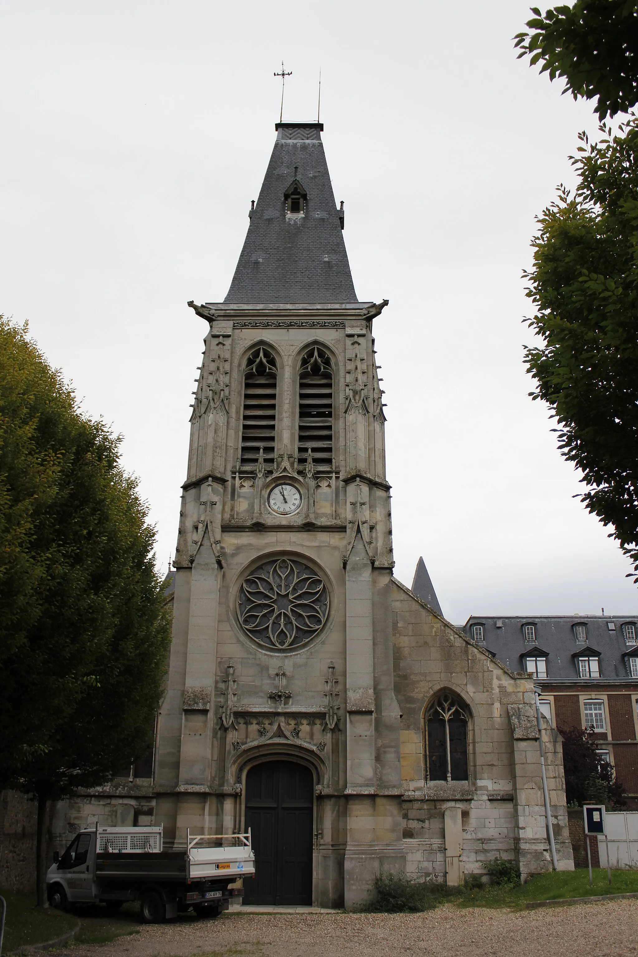
Darnétal is located in the Haute-Normandie region of France. From a cyclist's perspective, Darnétal offers a mix of flat and gently rolling terrain, making it suitable for leisurely rides. The roads are generally in good condition, and there are designated cycling paths in the area. While Darnétal may not be known for its famous climbs, it provides a peaceful and scenic environment for cycling with its charming countryside and historical sites to explore.
The Seine River Loop
A delightful cycling adventure along the majestic Seine River
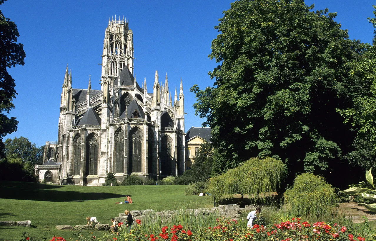
Embark on a scenic journey along the Seine River, as you cycle through charming French towns and lush countryside. This route offers stunning views of the river and its surroundings, with plenty of opportunities to explore historic landmarks and enjoy the peaceful atmosphere of the region. The Seine River Loop is perfect for cyclists of all levels, providing a mix of gentle inclines and flat stretches. As you pedal your way through the picturesque landscapes of Haute-Normandie, you'll be captivated by the beauty and tranquility that this region has to offer.
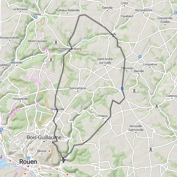
Discover the hidden gems of Darnétal and the nearby villages
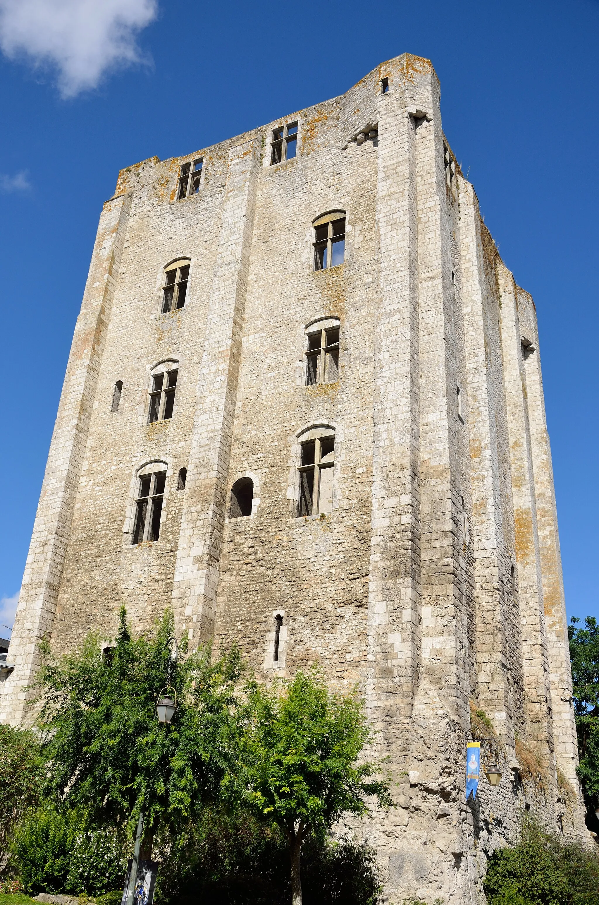
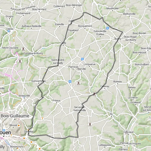
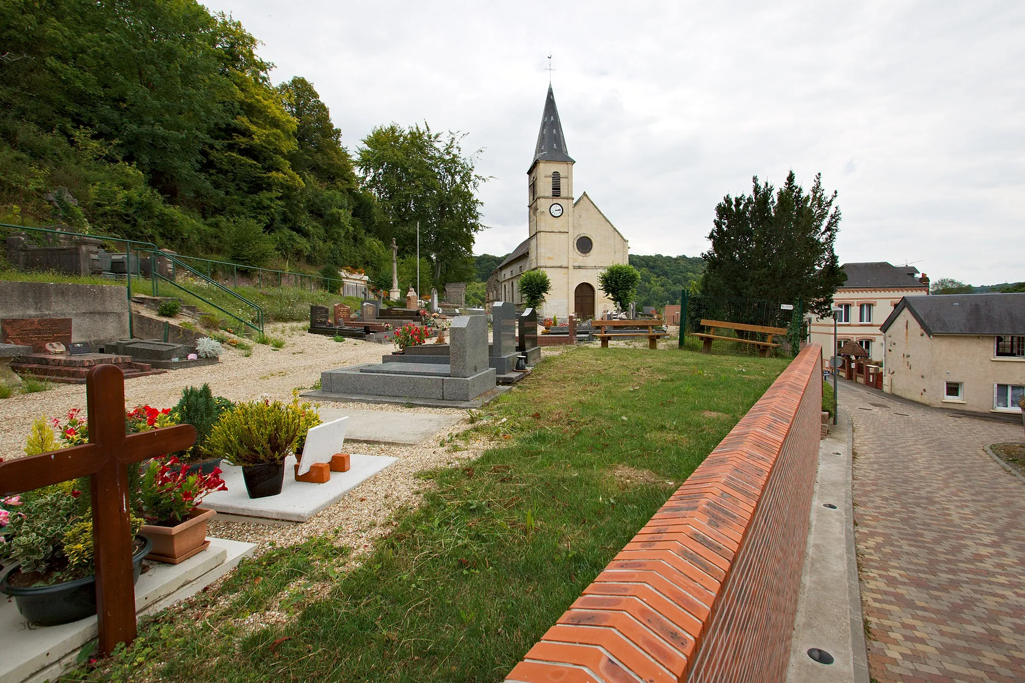
Uncover the treasures of Darnétal and its neighboring areas with this 66 km round-trip cycling route. The route includes an ascent of 496 m and is suitable for intermediate-level cyclists. Explore the historic town of Darnétal, Quincampoix at 10 km, Saint-André-sur-Cailly at 15 km, Critot at 23 km, Sainte-Croix-sur-Buchy at 39 km, Blainville-Crevon at 47 km, Bois-l'Évêque at 55 km, and Saint-Jacques-sur-Darnétal at 62 km. Immerse yourself in the rich history, culture, and natural beauty of these charming villages, and enjoy the sense of adventure that comes with exploring new places.
Embark on an unforgettable journey through Darnétal and its neighboring villages
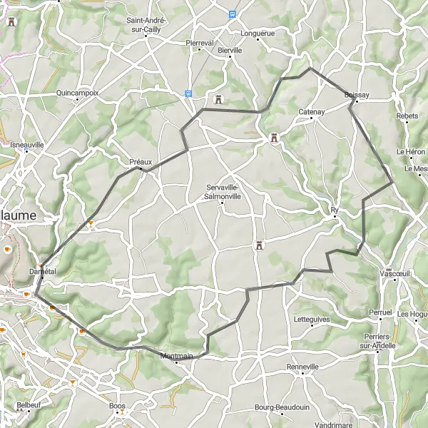
Discover the wonders of Darnétal and its neighboring villages with this 53 km round-trip cycling route. With an ascent of 478 m, it offers a moderate challenge for intermediate-level cyclists. Explore the historic town of Darnétal, Morgny-la-Pommeraye at 12 km, Saint-Germain-des-Essourts at 19 km, Auzouville-sur-Ry at 36 km, and Saint-Aubin-Épinay at 49 km. Immerse yourself in the rich history, culture, and natural beauty of these charming villages, and enjoy the scenic landscapes as you pedal through the countryside. This route combines smooth roads, gentle climbs, and thrilling descents, providing an enjoyable and invigorating cycling experience.
Saint-Martin-du-Vivier Tour
Embark on a scenic tour of Saint-Martin-du-Vivier and its neighboring towns
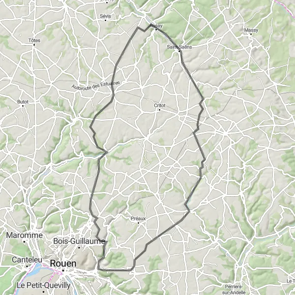
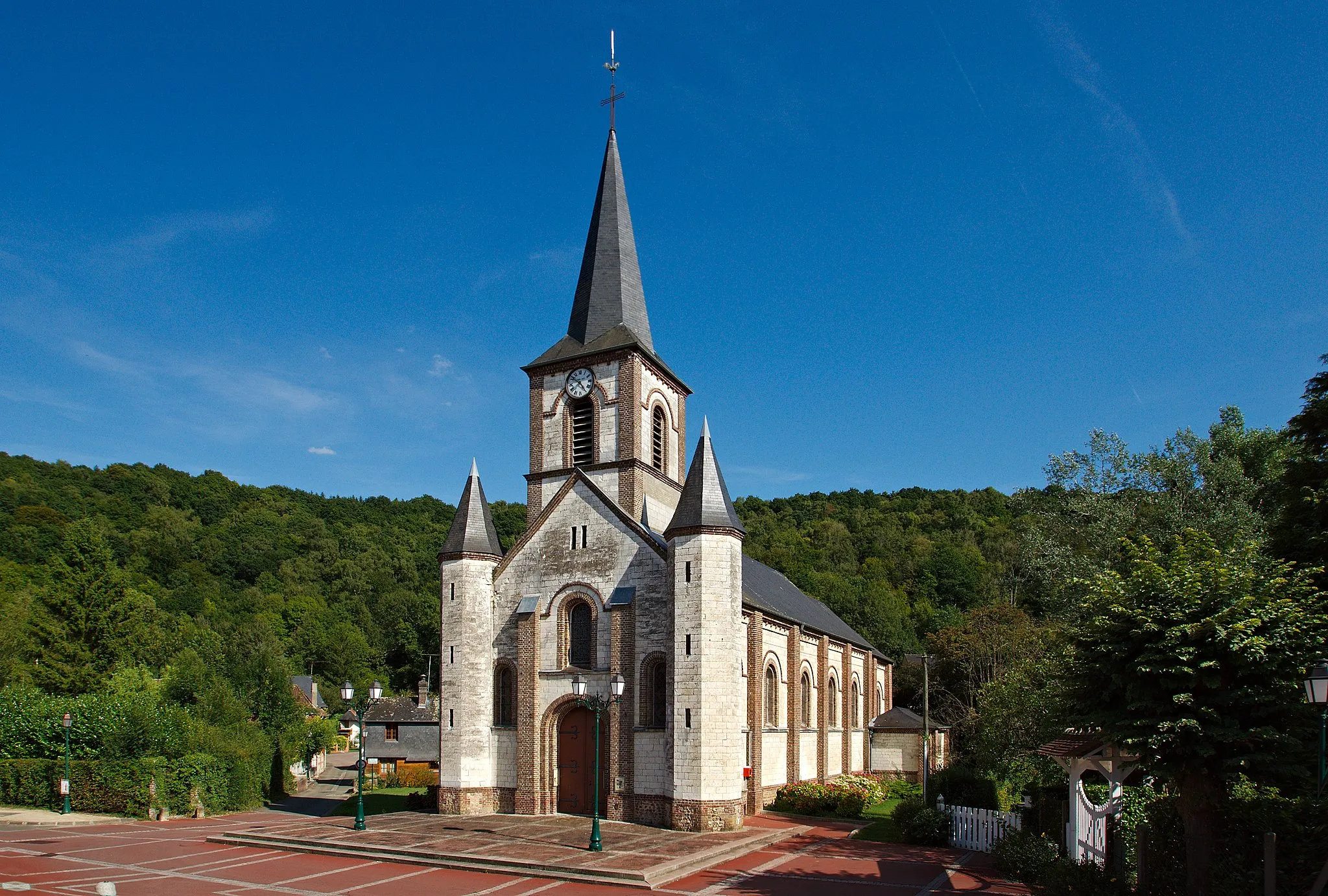
Embark on a journey of discovery with this 79 km round-trip cycling route. With an ascent of 623 m, it provides a challenge for well-trained amateur cyclists. Experience the beauty of Saint-Martin-du-Vivier, Bosc-le-Hard at 26 km, Saint-Saëns at 41 km, Saint-Germain-des-Essourts at 59 km, and Saint-Jacques-sur-Darnétal at 74 km. This route offers a mix of undulating terrain, challenging climbs, and exhilarating descents, making it an exciting and diverse ride. Immerse yourself in the rich history, culture, and natural beauty of these charming towns and enjoy the sense of achievement that comes with conquering the route.
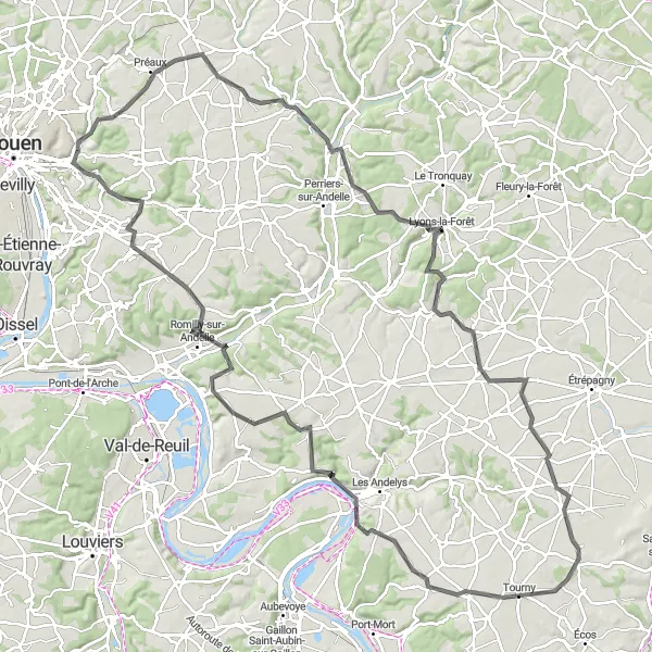
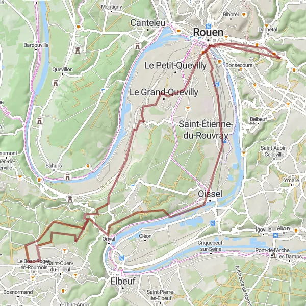
Enjoy a scenic gravel ride with panoramic vistas near Darnétal
This 41 km gravel route takes you through breathtaking landscapes near Darnétal, with 360 meters of ascent. Take in stunning views and explore charming towns as you pedal along this unforgettable route.
Bois-Guillaume Loop
Explore the beautiful town of Bois-Guillaume and its surrounding areas
This scenic round-trip route takes you through the picturesque town of Bois-Guillaume and its surrounding areas. With a distance of 93 km and an ascent of 789 m, it is suitable for well-trained amateur cyclists. The route offers a mix of challenging climbs and smooth descents, providing a rewarding and exhilarating experience. Along the way, you'll encounter several highlights, including Anceaumeville at 19 km, Tôtes at 32 km, Saint-Saëns at 56 km, Blainville-Crevon at 79 km, and Roncherolles-sur-le-Vivier at 89 km.
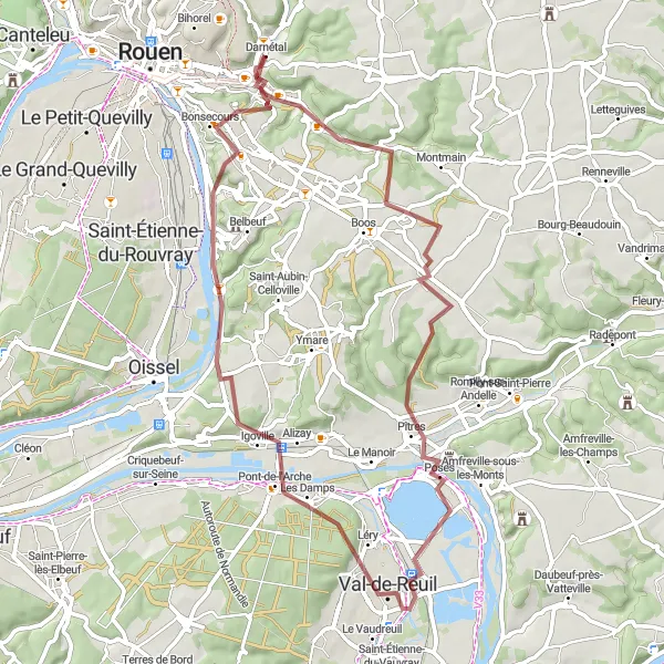
Embark on a scenic gravel route near Darnétal
This route takes you on a 58 km gravel adventure with 544 meters of ascent. Experience the beauty of Haute-Normandie as you ride past picturesque landscapes and charming villages.
Embark on a scenic journey through Isneauville and its neighboring areas
Experience the beauty of Isneauville and its surrounding areas with this 47 km round-trip cycling route. The route, which includes an ascent of 347 m, is suitable for moderately experienced cyclists. Take in the scenic landscapes as you pedal your way through Isneauville, Claville-Motteville at 21 km, Pierreval at 30 km, and Roncherolles-sur-le-Vivier at 42 km. Discover the charm of these small towns and enjoy the peaceful ambiance they offer. This route offers a mix of smooth roads and gentle climbs, providing an enjoyable and refreshing cycling experience.
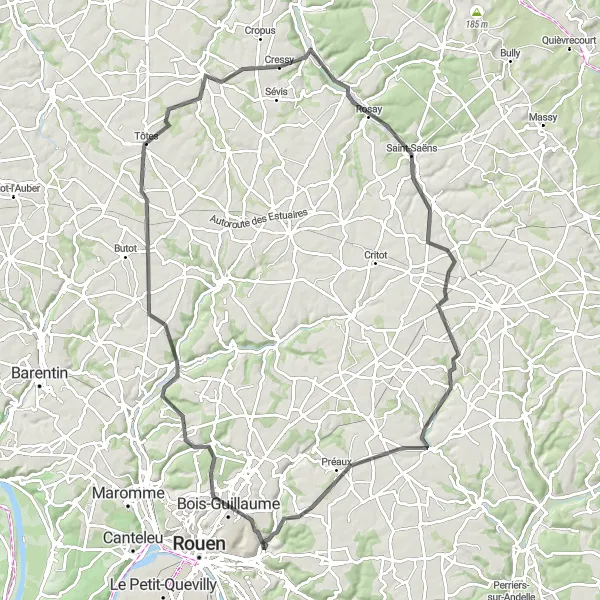
Conquer a challenging 126 km road cycling route with stunning views
This epic road cycling route near Darnétal spans 126 km with an impressive 1032 meters of ascent. Challenge yourself as you conquer tough climbs and enjoy the breathtaking scenery of the Haute-Normandie region.
Embark on a thrilling gravel adventure through the countryside
This 68 km gravel route offers an exciting journey with 651 meters of ascent. Immerse yourself in the natural beauty of Haute-Normandie as you explore charming towns and enjoy the tranquility of the countryside.
Cycling routes nearby:

Nearby regions: