Gravel Exploration with Panoramic Views near Darnétal
A gravel cycling route starting from Darnetal
Enjoy a scenic gravel ride with panoramic vistas near Darnétal
Map
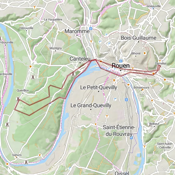
This 41 km gravel route takes you through breathtaking landscapes near Darnétal, with 360 meters of ascent. Take in stunning views and explore charming towns as you pedal along this unforgettable route.
gravel
41 km
360 m
Chill
Route profile
Highlights on the route
0 km
0 km
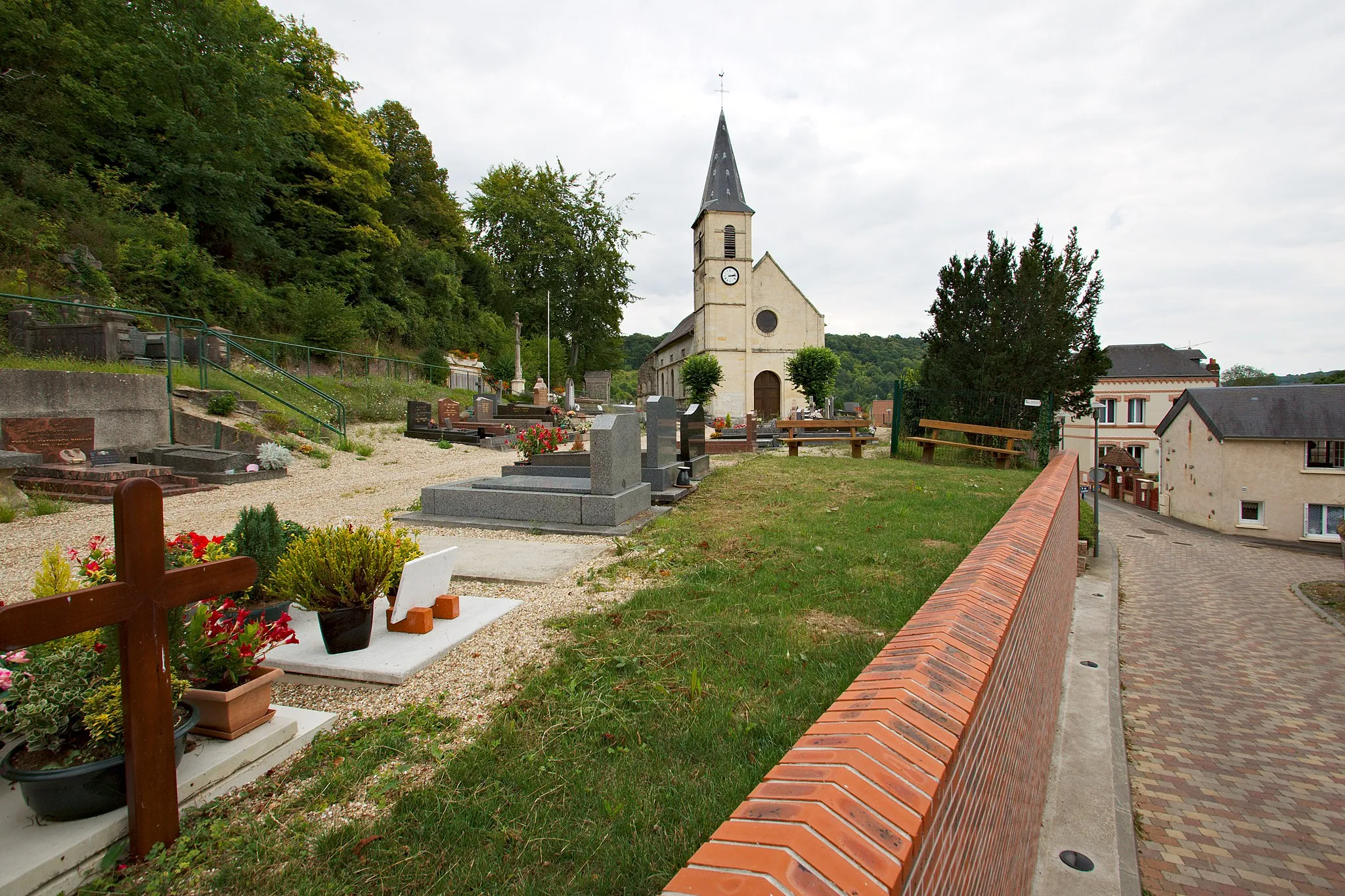
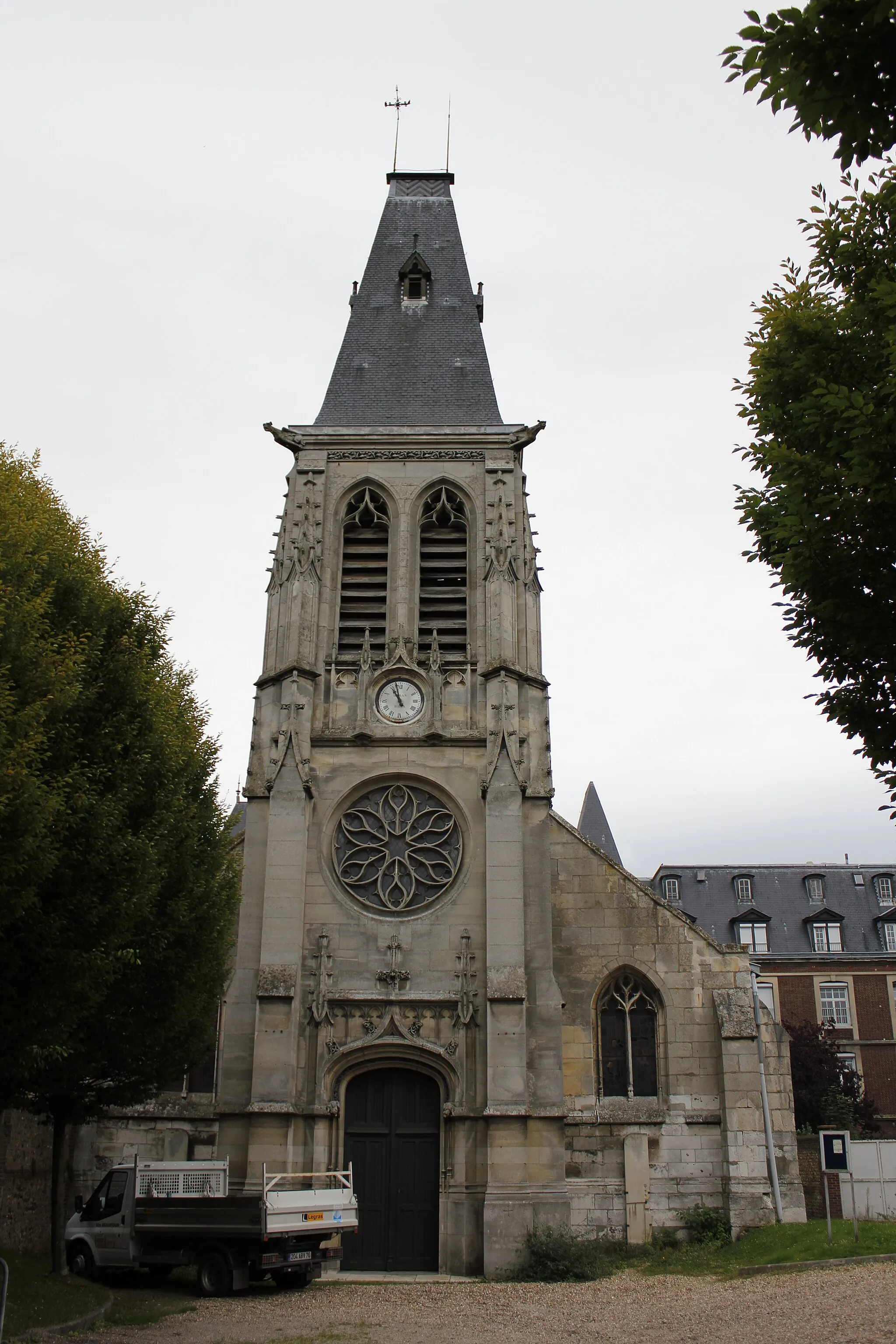
Start: Darnétal Village centerDarnétal: Tranquil cycling through Haute-Normandie's countryside
Darnétal is located in the Haute-Normandie region of France. From a cyclist's perspective, Darnétal offers a mix of flat and gently rolling terrain, making it suitable for leisurely rides. The roads are generally in good condition, and there are designated cycling paths in the area. While Darnétal may not be known for its famous climbs, it provides a peaceful and scenic environment for cycling with its charming countryside and historical sites to explore.3 km
3 km
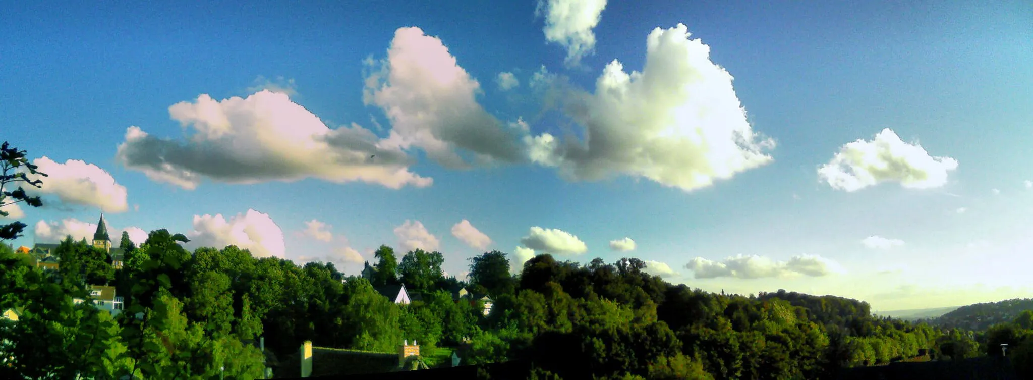
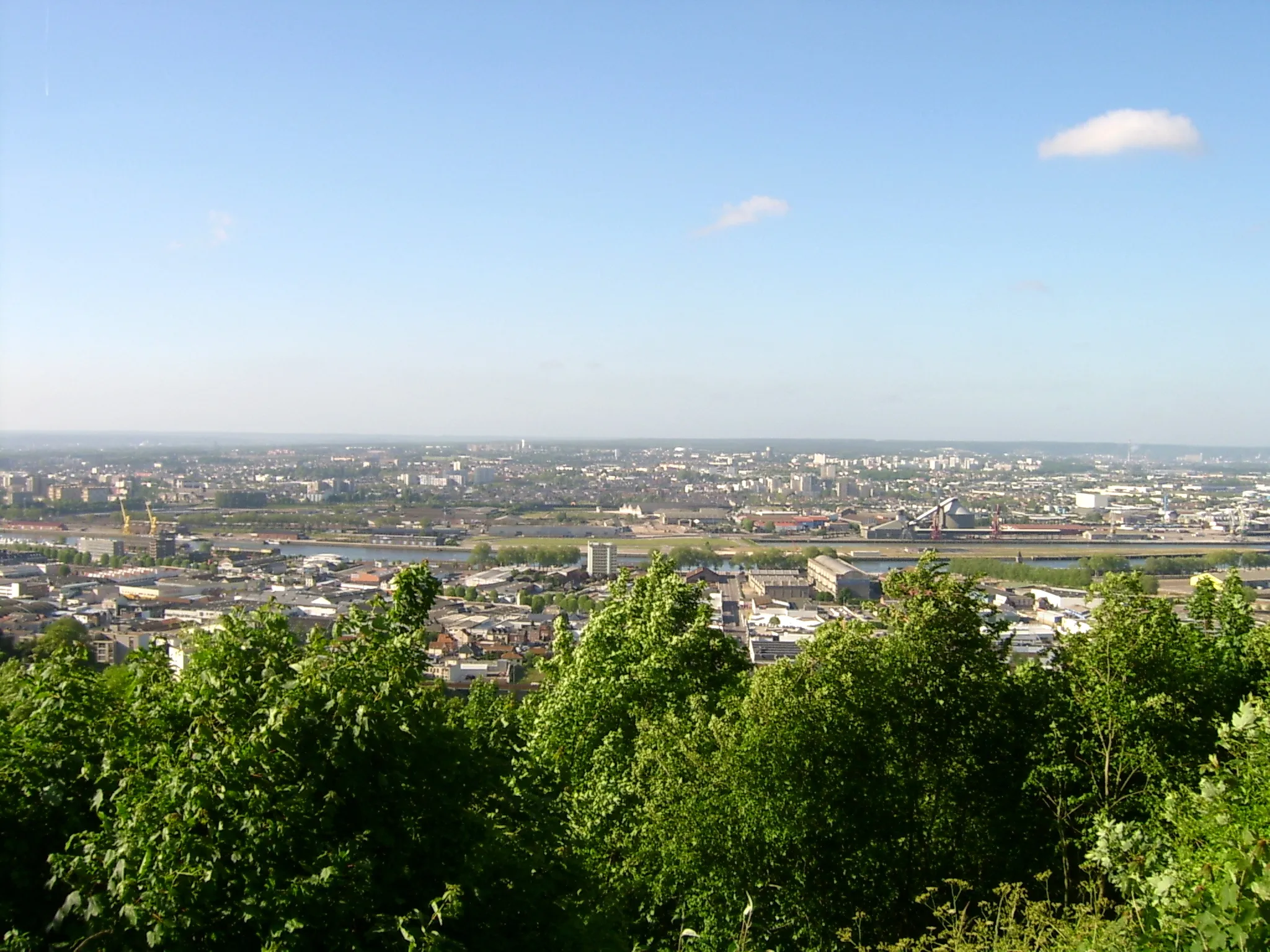
Panorama Rouen EstViewpointFrom the Panorama Rouen Est, immerse yourself in the magnificent panoramic views of Rouen and its surrounding natural beauty.
11 km
11 km
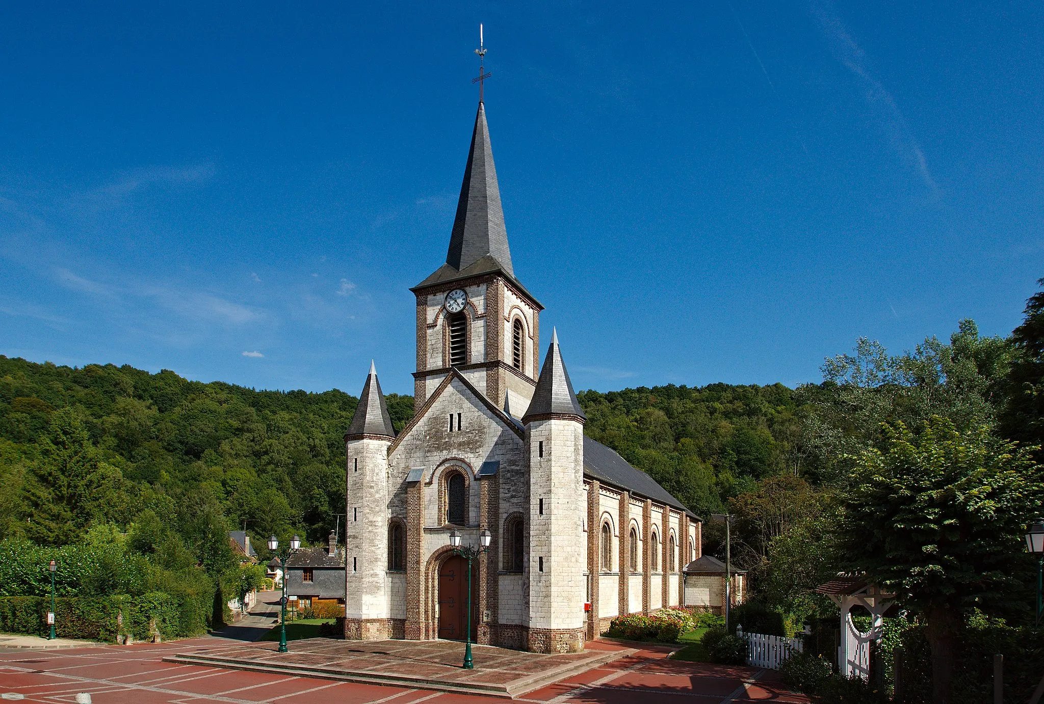
CroissetHamletEn route, stop by Croisset, known for inspiring famous literary figures like Gustave Flaubert and Guy de Maupassant.
21 km
21 km
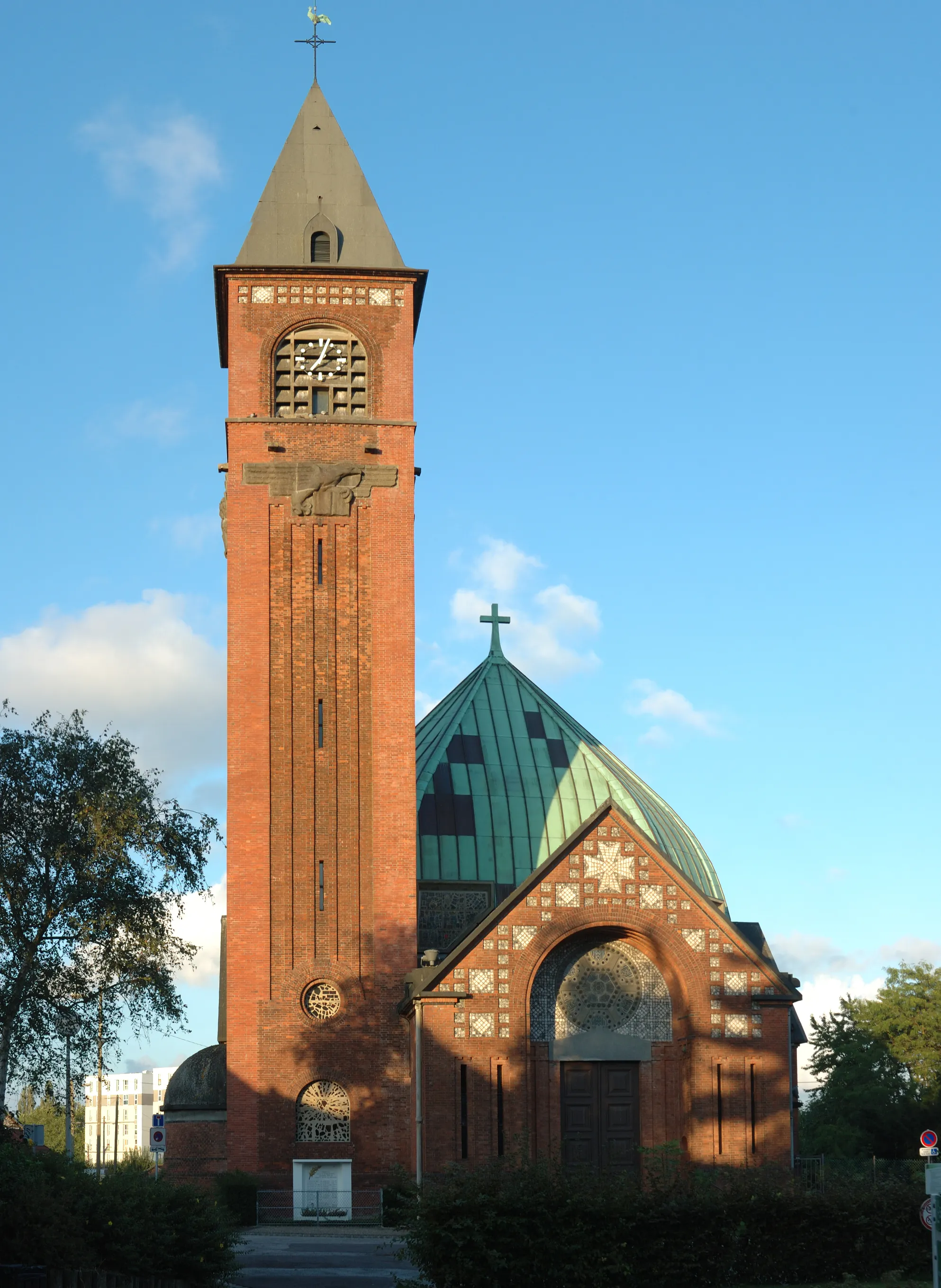
QuevillonVillageIndulge in the serene countryside charm of Quevillon, where charming stone houses and beautiful rolling hills beautifully merge.
34 km
34 km
Panorama de Mont-Saint-AignanViewpointAt the Panorama de Mont-Saint-Aignan, enjoy breathtaking views of the city of Rouen, the lush landscapes, and the stunning River Seine.
36 km
36 km
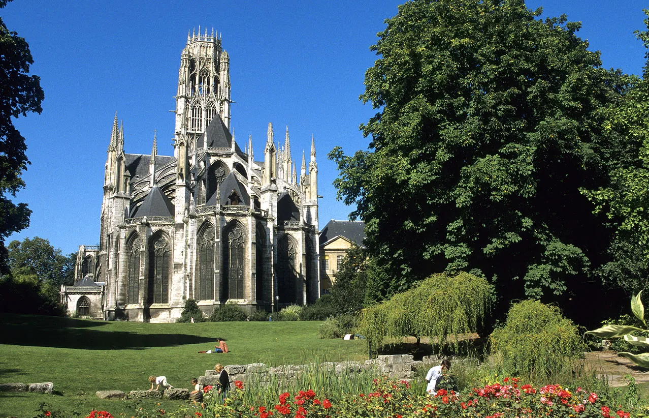
RouenCityExperience the historical and cultural richness of Rouen, with its captivating architecture and bustling atmosphere.
41 km
41 km
Finish: Darnétal Village centerDarnétal: Tranquil cycling through Haute-Normandie's countryside
Cycling routes from Darnetal:
Saint-Martin-du-Vivier Tour Darnétal Explorer Isneauville Circuit Darnétal Discovery Bois-Guillaume Loop Exploring the Gravel Trails of Darnétal Scenic Majesty of Road Cycling near Darnétal Gravel Wonders near Darnétal and Rouen The Ultimate Road Cycling Challenge near Darnétal Gravel Exploration with Panoramic Views near Darnétal The Seine River Loop
Cycling routes nearby: