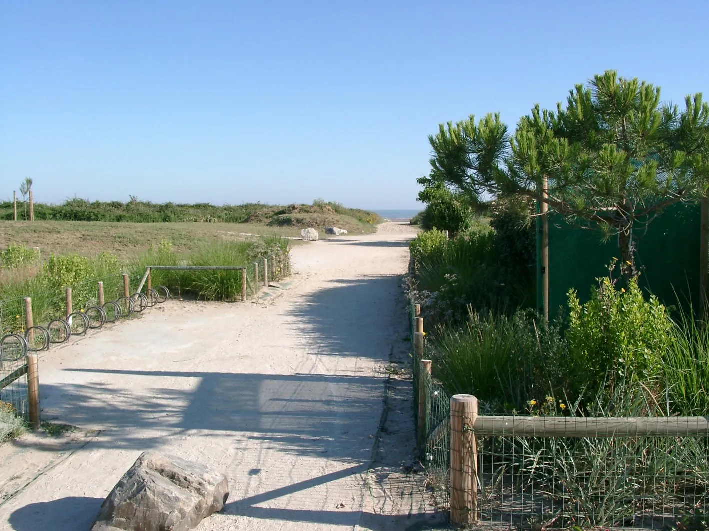
Cycling through picturesque countryside near Saint-Jacques-sur-Darnétal
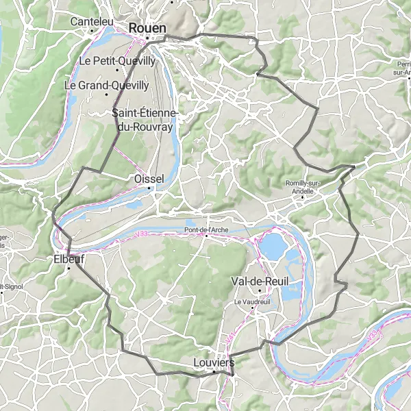
Cycling routes from Saint-Jacques-sur-Darnetal
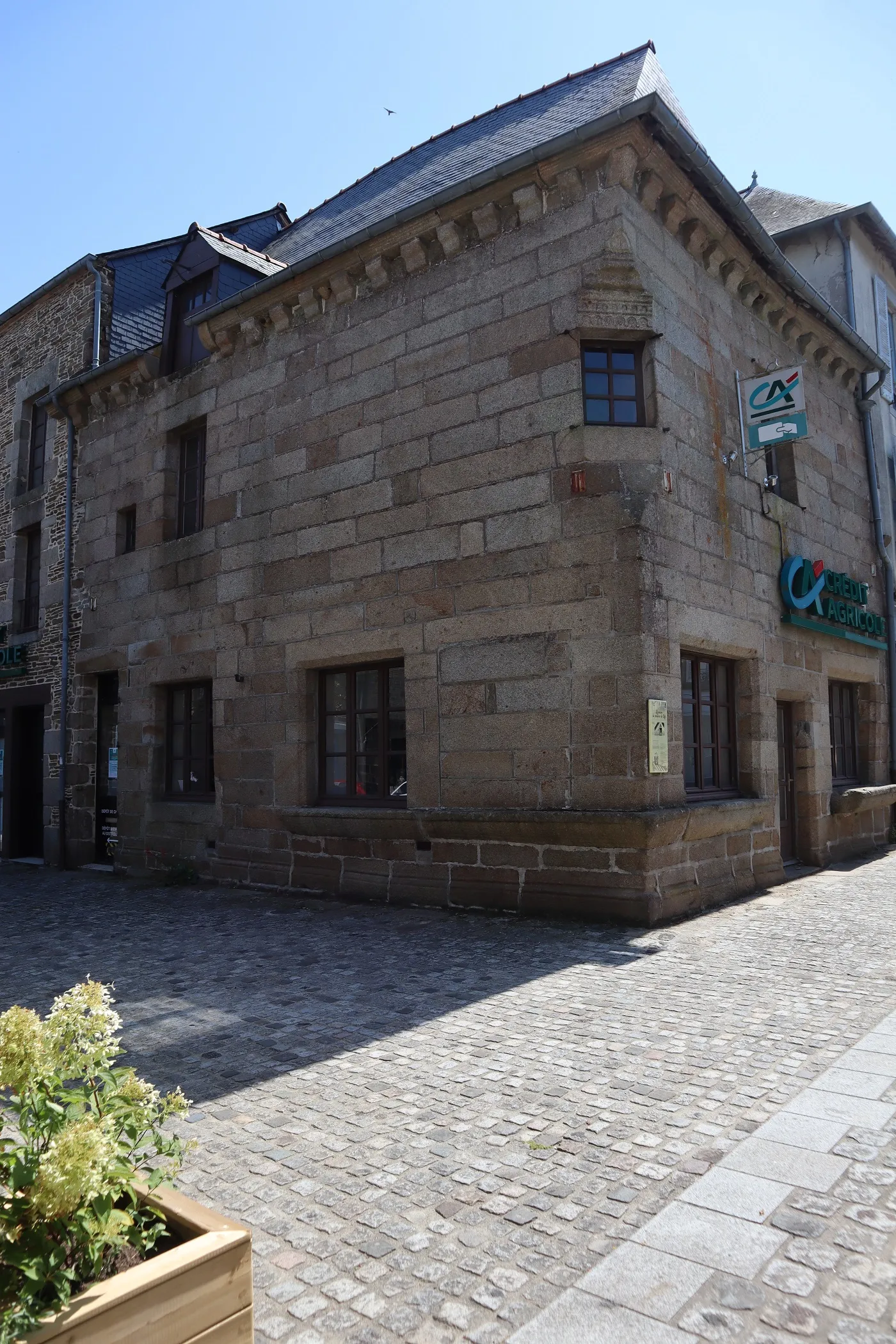
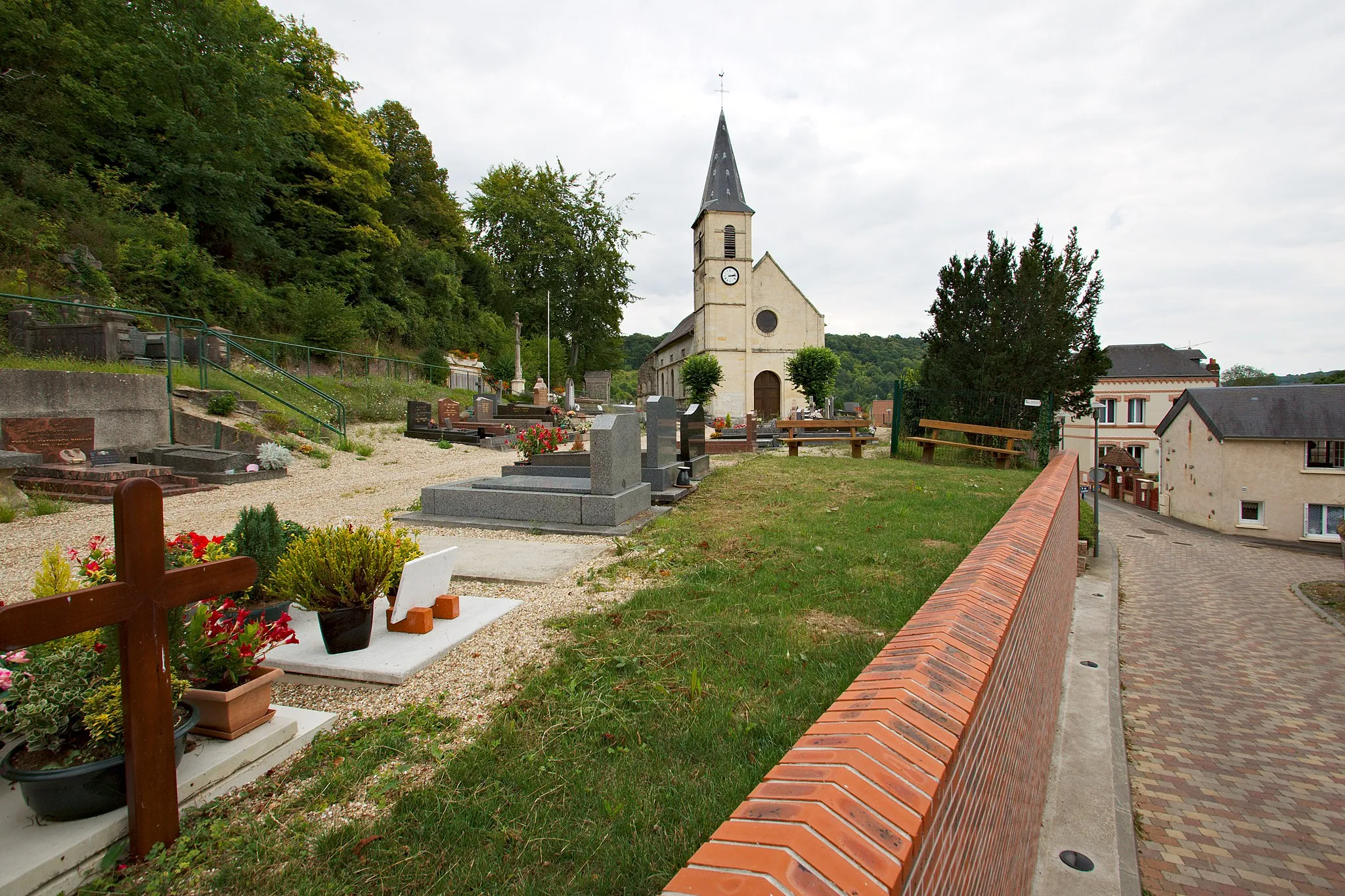
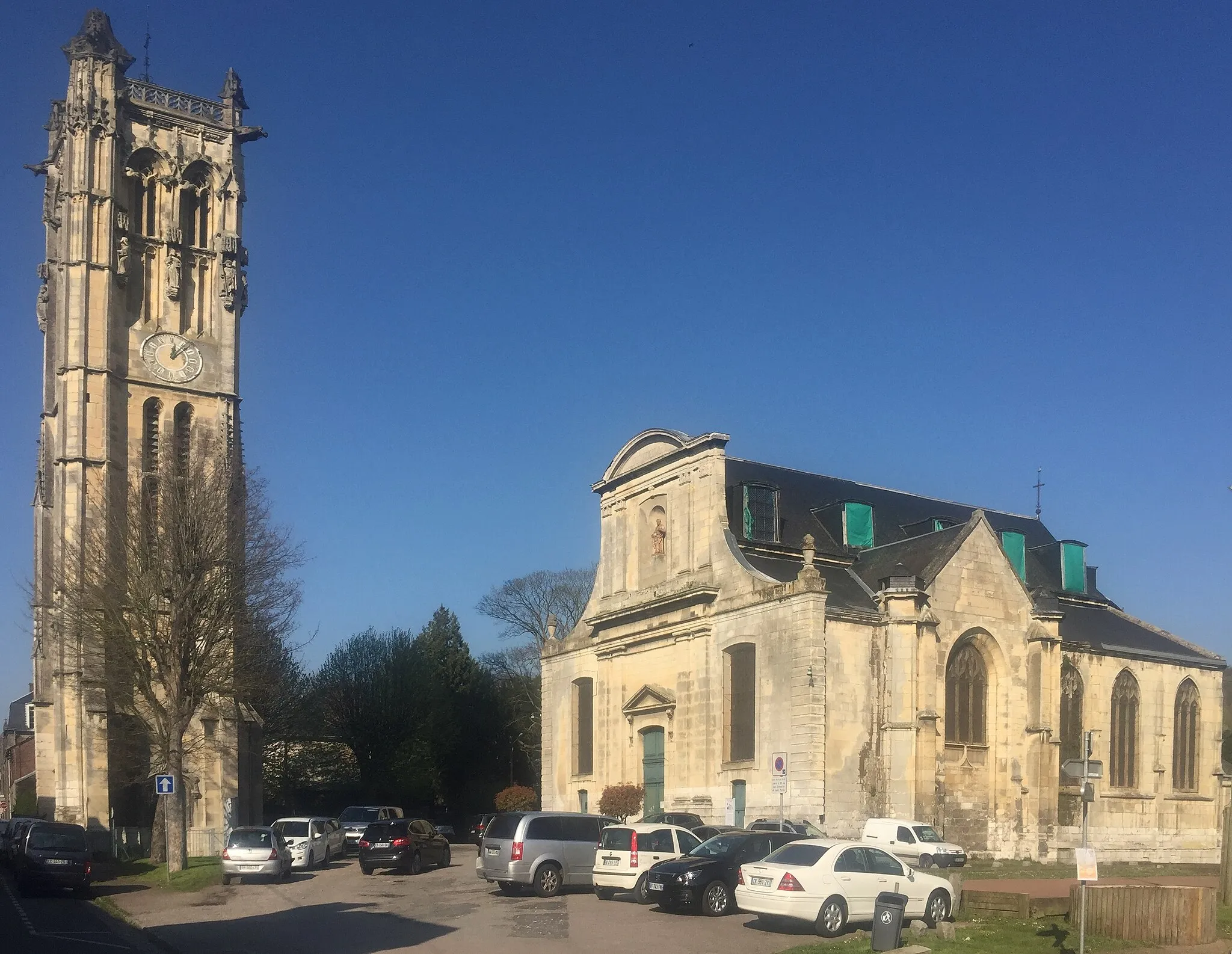
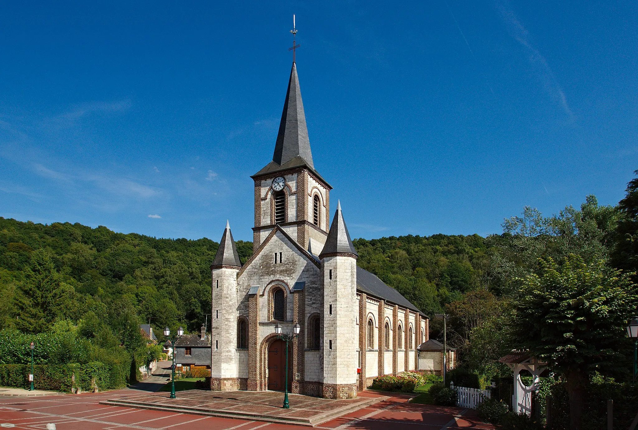
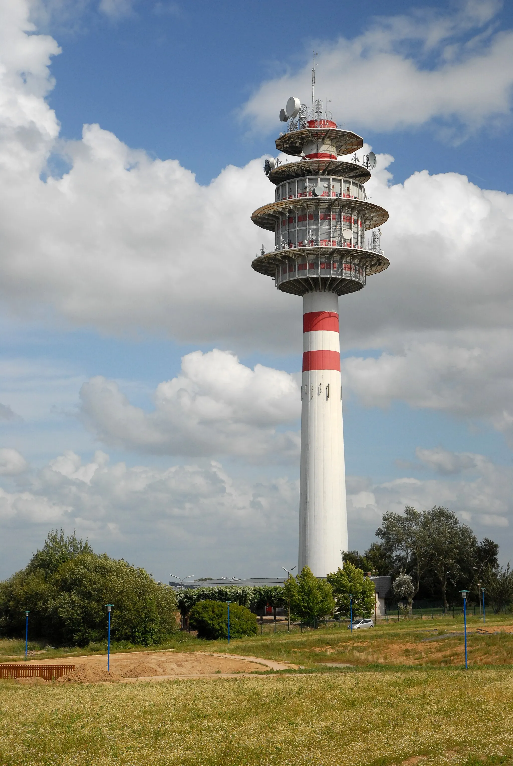
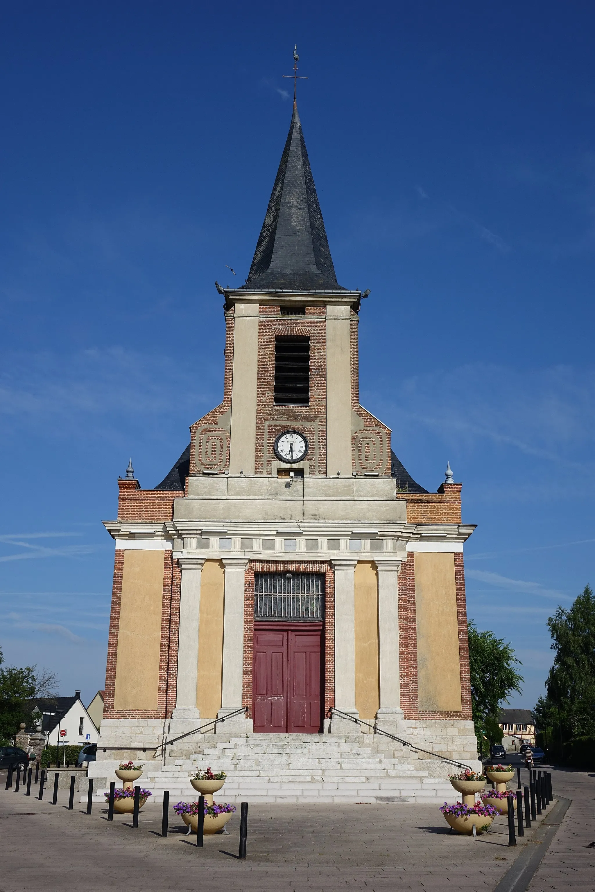
Saint-Jacques-sur-Darnétal, located in Haute-Normandie, France, offers road and gravel cyclists the opportunity to explore scenic routes through charming countryside. The region features a mix of flat and rolling terrain, providing options for cyclists of various skill levels. While there may not be any famous cycling spots or climbs nearby, the peaceful rural setting and quiet roads make Saint-Jacques-sur-Darnétal an enjoyable destination for cyclists looking to enjoy a leisurely ride. Tourists can also visit the nearby city of Rouen, known for its stunning Gothic cathedral and historic charm.
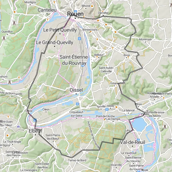
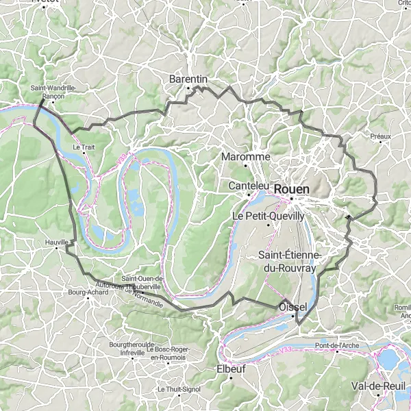
Embark on a cycling adventure that takes you from the charming village of Saint-Jacques-sur-Darnétal to the historic city of Rouen
Cycle from the quaint village of Saint-Jacques-sur-Darnétal to the vibrant city of Rouen on this road cycling route. With 79 kilometers to cover and 660 meters of ascent, this route is suitable for experienced riders. Along the way, you'll encounter the impressive Table d'orientation de la cote des deux amants and the charming town of Caudebec-lès-Elbeuf. The route offers a mix of flat sections and challenging climbs, providing a rewarding cycling experience. Immerse yourself in the rich cultural heritage of Rouen, known for its stunning Gothic architecture and connections to famous artists like Monet.
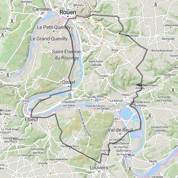
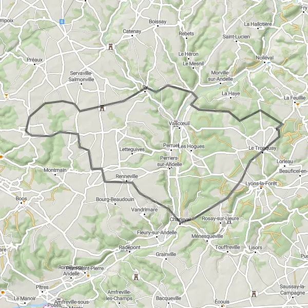
Discover the scenic beauty of the Andelle River and the historical treasures along its banks
Experience the natural wonders and historical landmarks along the picturesque Andelle River on this road cycling route. Stretching over 87 kilometers with an ascent of 490 meters, this route offers a moderate challenge suitable for well-trained amateurs. Begin your journey in the charming village of Saint-Jacques-sur-Darnétal and pass through Romilly-sur-Andelle, Louviers, Elbeuf, and Oissel. Admire the Table d'orientation de la cote des deux amants viewpoint and explore the cultural treasures of Rouen. The route showcases the beautiful landscapes of the region, combining riverside cycling with cultural immersion.
Experience the tranquility of the Haute-Normandie region as you cycle through scenic countryside and charming villages
This round-trip cycling route near Saint-Jacques-sur-Darnétal takes you on a delightful journey through the picturesque Haute-Normandie region. With a moderate distance of 86 kilometers and 577 meters of ascent, this road cycling route is perfect for well-trained amateurs. Discover the unique beauty of Bierville, Sommery, Sigy-en-Bray, Vascœuil, and Bois-d'Ennebourg along the way. The route offers a pleasant mix of flat stretches and gentle hills, allowing you to fully immerse yourself in the stunning landscapes of the region.

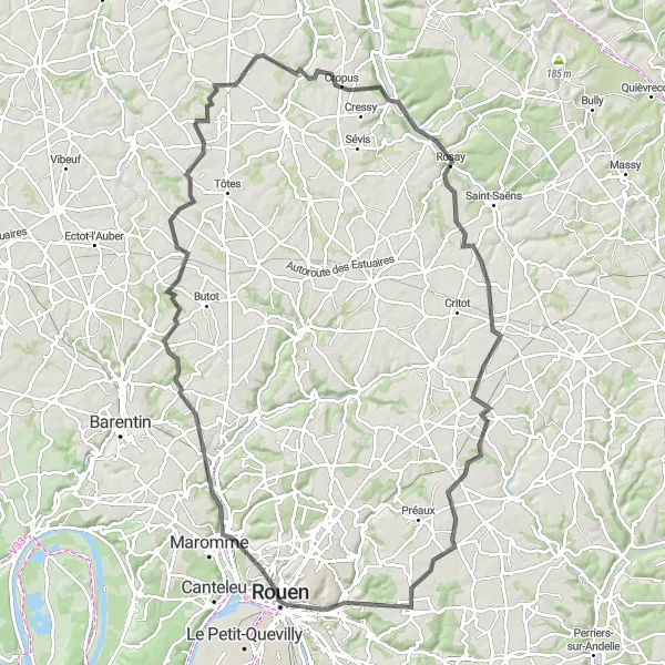
Embark on a challenging ride through scenic hills and valleys near Saint-Jacques-sur-Darnétal
The Hills and Valleys Tour is designed for cyclists looking for a challenging and rewarding experience. With a total ascent of 1130 meters, this 124 km road route showcases the dramatic hilly landscape of Haute-Normandie. The difficulty level is rated at 5, making it suitable for well-trained amateur cyclists. The epicness of this route is 4, offering riders stunning views and a sense of accomplishment. Embrace the challenge and conquer the hills and valleys of this beautiful region.
Mountain Peninsula Loop
Experience the thrill of a challenging ride on this mountainous road route near Saint-Jacques-sur-Darnétal
The Mountain Peninsula Loop is a thrilling cycling route perfect for those seeking a challenge. With a total ascent of 935 meters, this 107 km road route offers a combination of mountain climbs and sweeping descents. Suitable for experienced cyclists, the difficulty level is rated at 4. Despite the demanding terrain, the epicness of this route is 3, offering riders stunning panoramic views of the surrounding landscape. This route is a testament to the natural beauty of Haute-Normandie.
A picturesque loop starting near Saint-Jacques-sur-Darnétal
The Darnétal Loop is a scenic round-trip cycling route that starts near the charming village of Saint-Jacques-sur-Darnétal. The route takes you through the beautiful Haute-Normandie region of France, offering breathtaking views and a chance to explore the picturesque countryside.
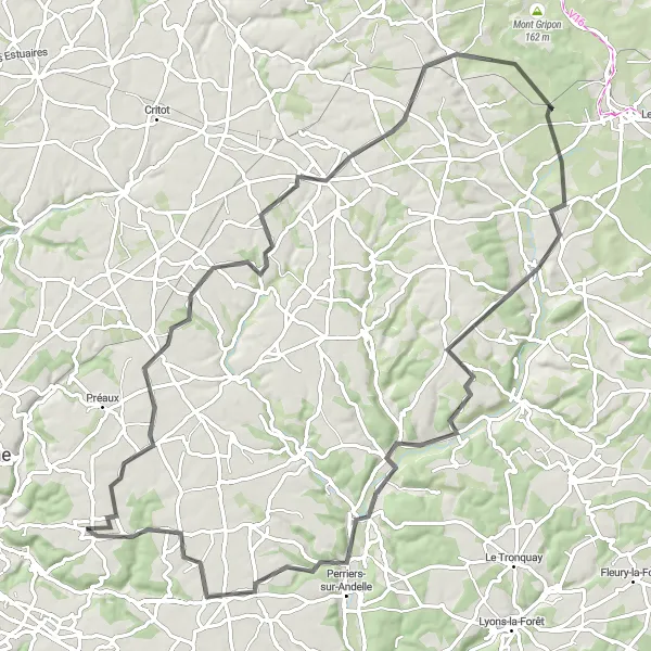
Escape to the tranquility of the valleys with this scenic road route near Saint-Jacques-sur-Darnétal
The Valley Escape takes you on a scenic journey through the picturesque valleys of Haute-Normandie. With a total ascent of 778 meters, this 98 km road route offers a mix of gentle climbs and rolling descents. Suitable for riders of all levels, the difficulty level is rated at 2. The overall epicness of this route is 2, providing riders with enjoyable cycling through beautiful countryside. Escape the hustle and bustle of the city and immerse yourself in the calm and serenity of the valleys.
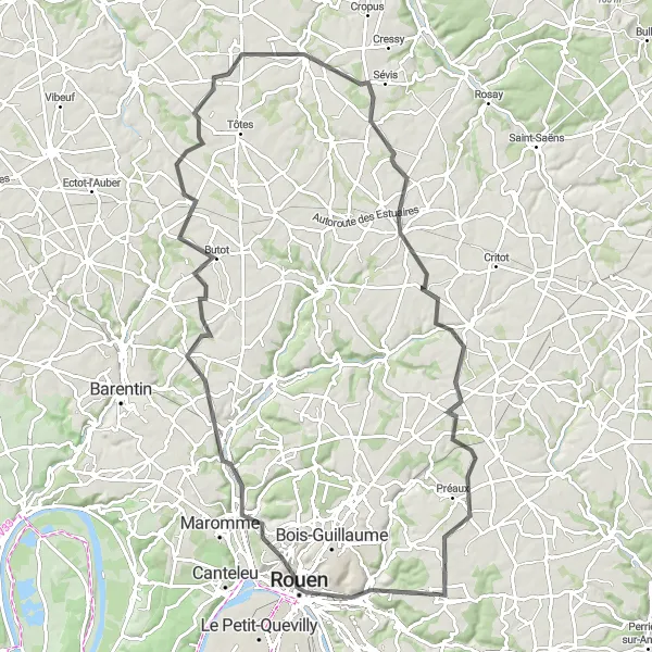
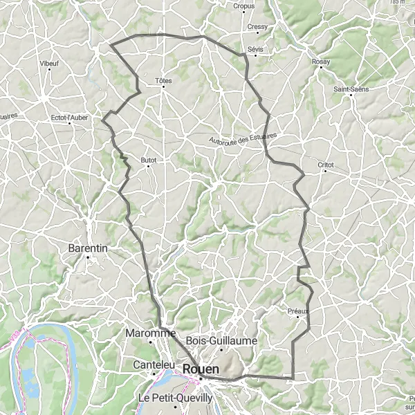
Embark on an epic cycling journey that takes you from Rouen to picturesque countryside landscapes
Get ready for an epic cycling adventure that starts in Rouen and takes you through breathtaking countryside landscapes. With a distance of 94 kilometers and an ascent of 749 meters, this road cycling route is suitable for experienced riders seeking a challenge. Experience the charm of Rouen, explore Mont-Saint-Aignan's panoramic viewpoint, and discover hidden gems like the idyllic village of Butot and the scenic landscapes of Saint-André-sur-Cailly. Along the way, you'll be captivated by the natural beauty of Haute-Normandie and its rich cultural heritage.
Explore majestic castles and scenic riversides with this road route near Saint-Jacques-sur-Darnétal
The Castle and Riverside Loop takes you on a journey through the historic and natural beauty of Haute-Normandie. With a total ascent of 1171 meters, this 120 km road route offers a combination of challenging climbs and peaceful riverside riding. Suitable for well-trained amateur cyclists, the difficulty level is rated at 5. The epicness of this route is 4, offering riders the opportunity to explore magnificent castles and scenic riversides. Immerse yourself in the rich history and natural beauty of this captivating region.
Ten Villages Ride
A ride through picturesque villages and beautiful landscapes near Saint-Jacques-sur-Darnétal
The Ten Villages Ride takes you on a scenic journey through the stunning countryside of Haute-Normandie. This 95 km route passes through charming villages, offering riders a taste of rural France. With a total ascent of 884 meters, this route provides a good challenge for amateur cyclists and rewards them with breathtaking panoramic views along the way. The difficulty level is rated at 3, making it suitable for moderately experienced riders. The overall epicness of this route is 3.
Cycling routes nearby:


Nearby regions: