Decent cycling routes with attractions for relaxation.
Cycling routes from Forges-les-Eaux
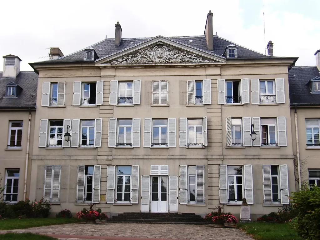
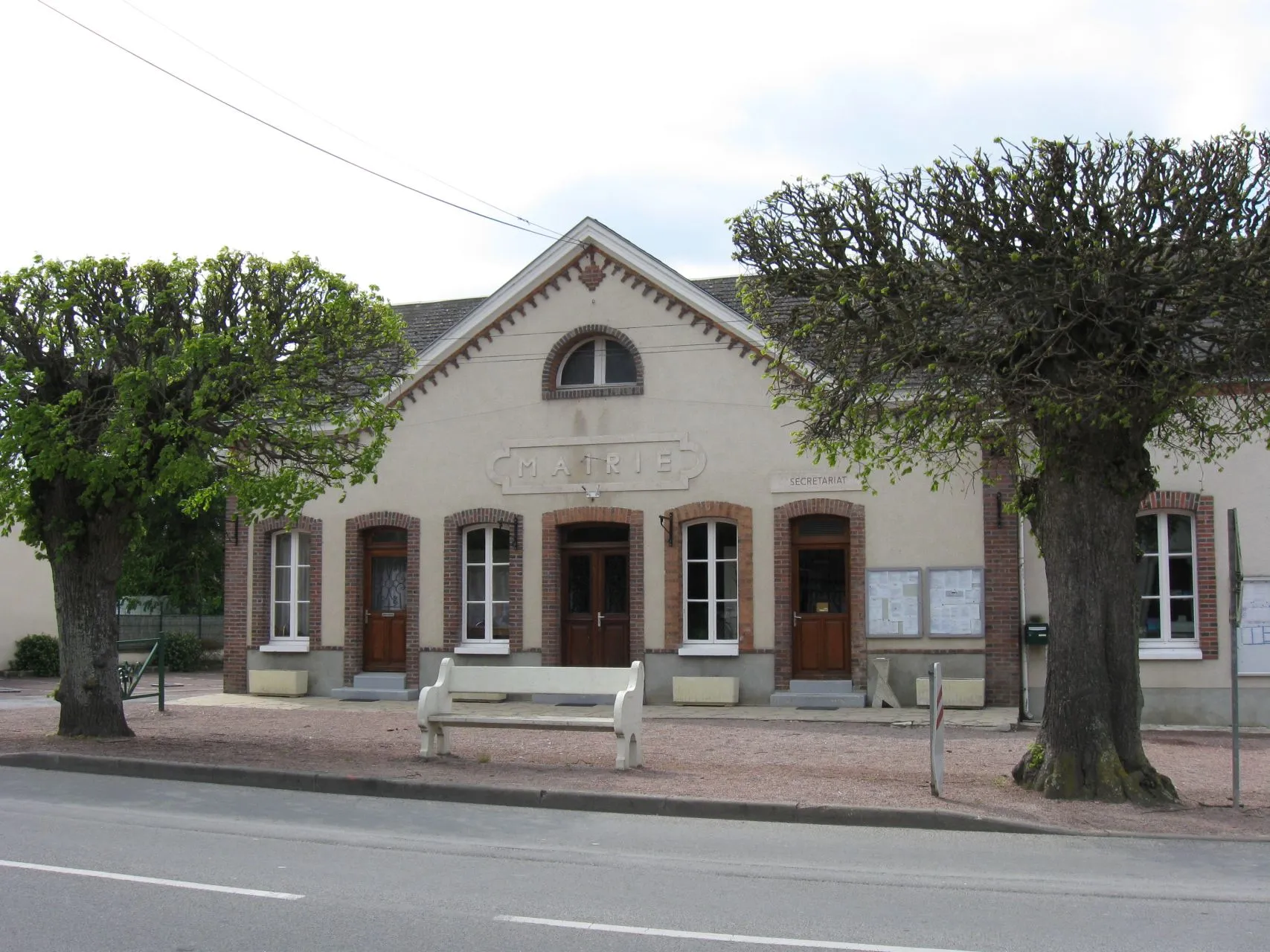
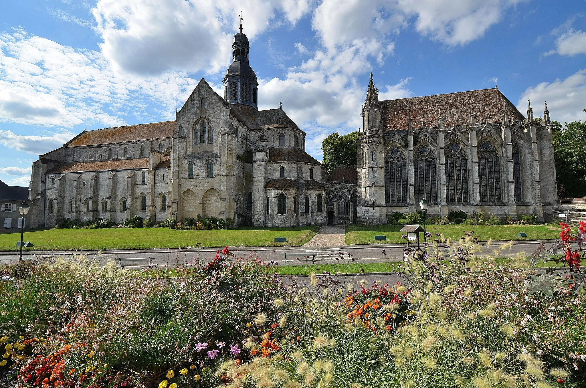
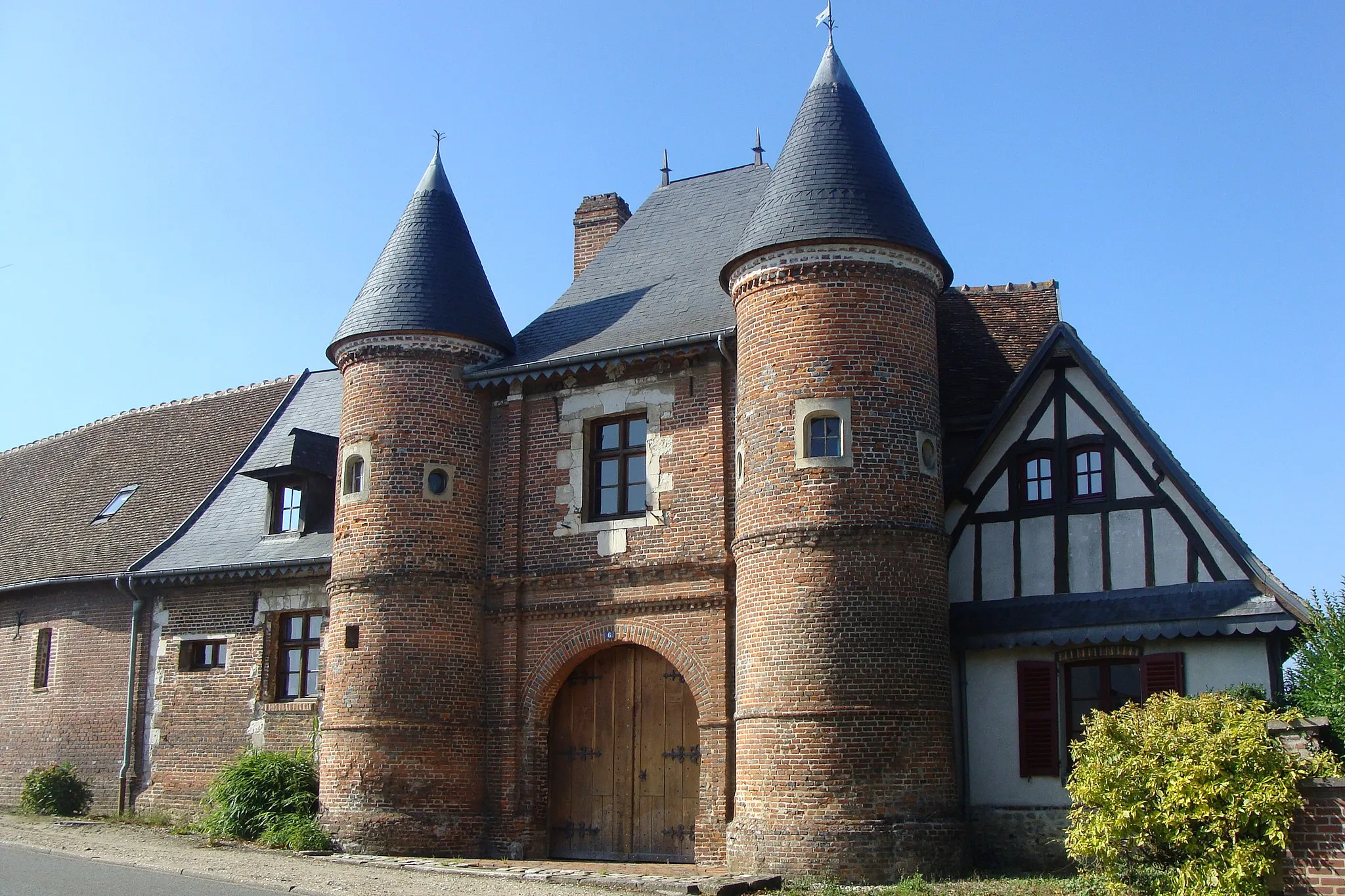
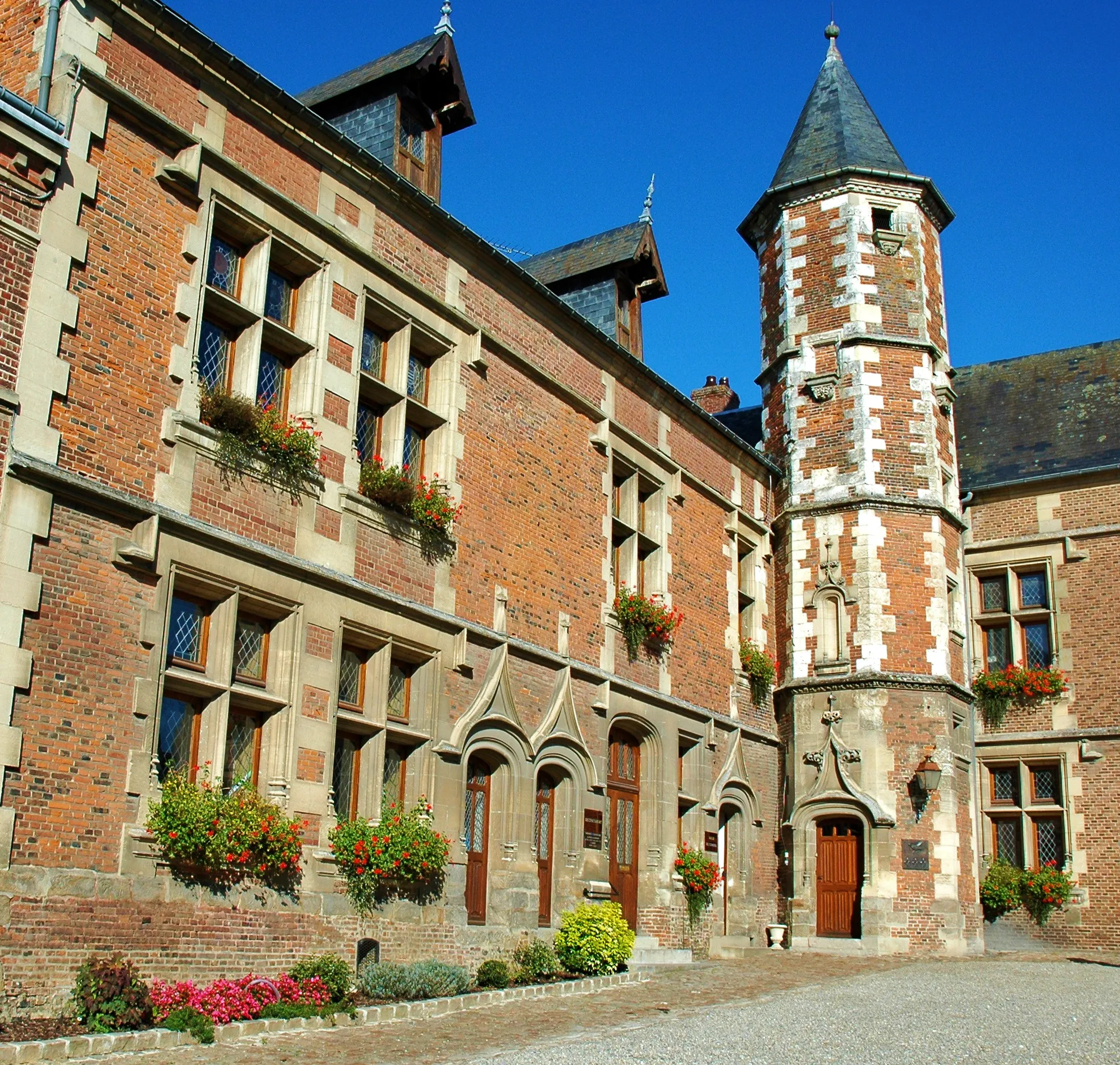
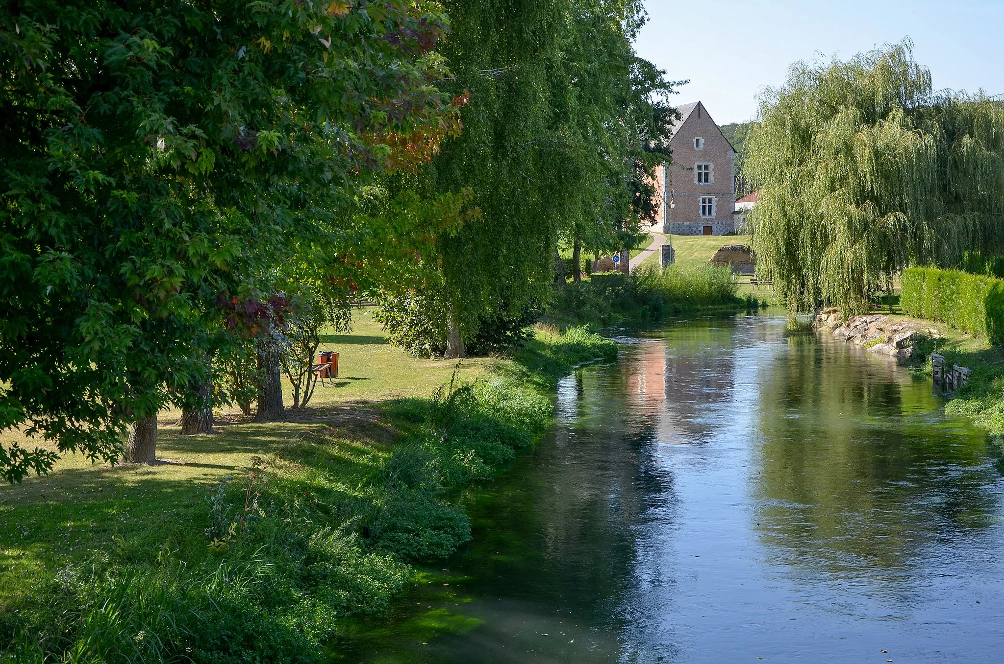
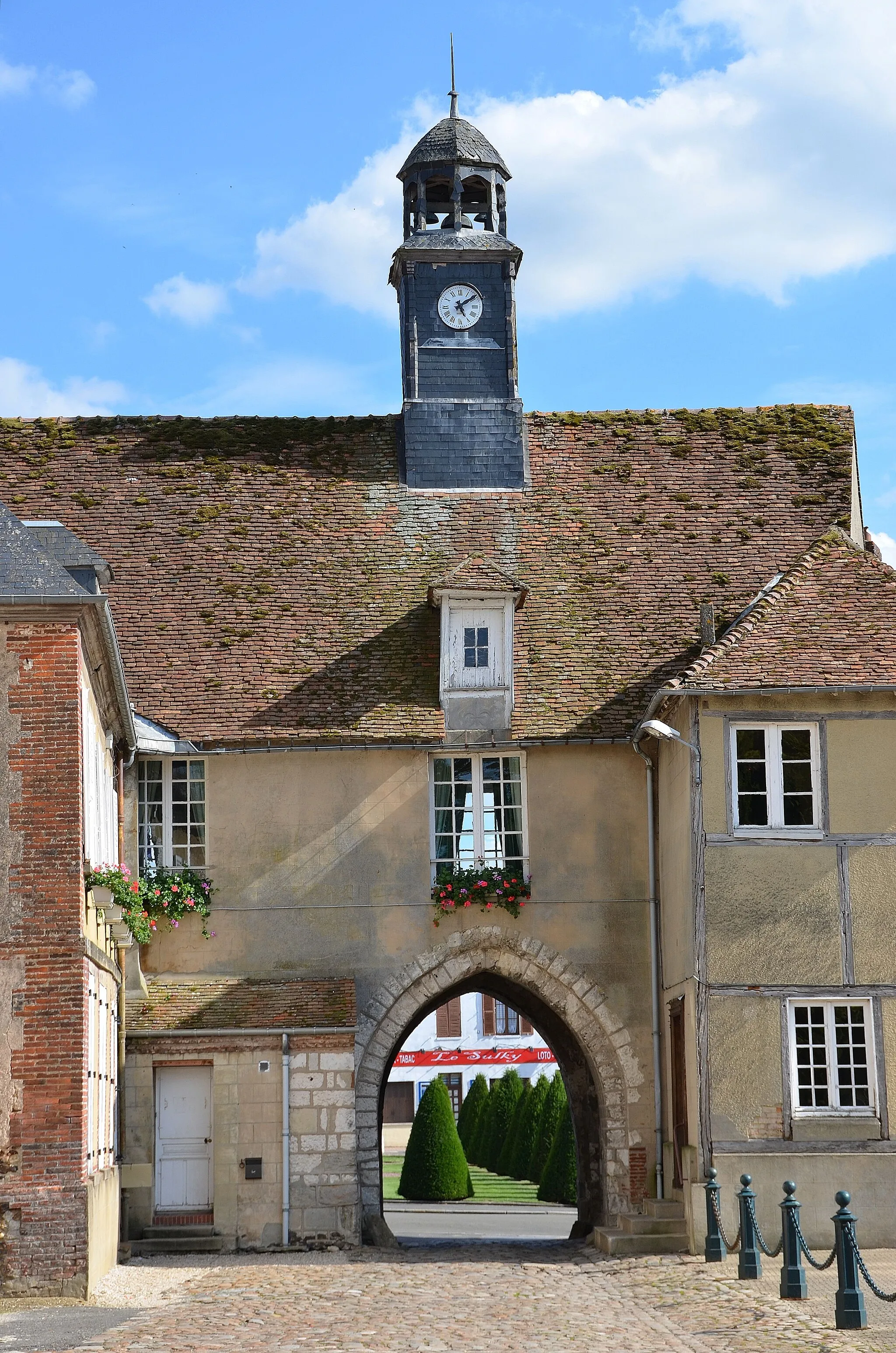
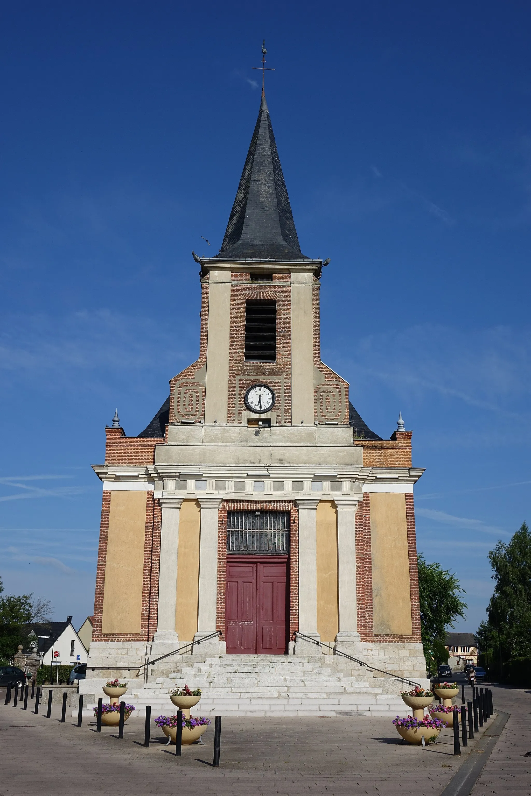
Forges-les-Eaux is a locality in the Haute-Normandie region of France. From a road and gravel cyclist's perspective, Forges-les-Eaux offers decent cycling routes with moderate difficulty. The rolling hills and picturesque landscapes provide a beautiful backdrop for cycling. Additionally, the town is known for its thermal baths and casino, offering opportunities for relaxation after a day of cycling.
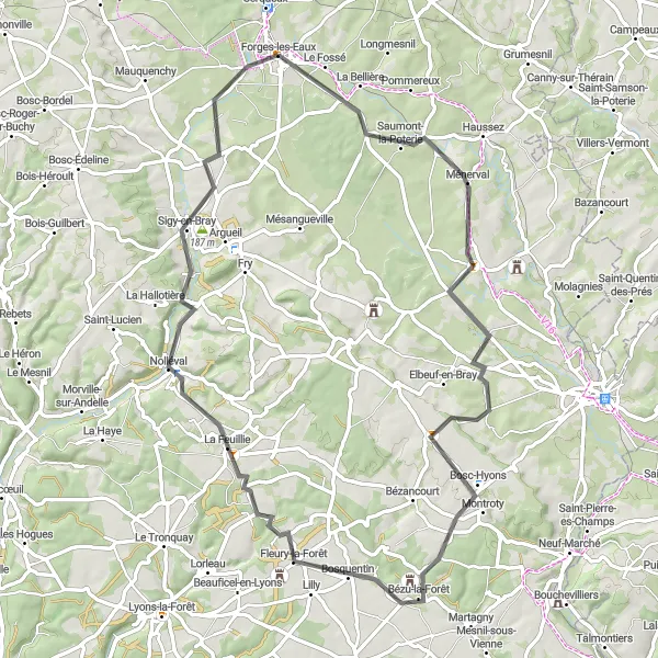
Argueil Adventure

Discover the charming town of Argueil on this road cycling route
Embark on a scenic road cycling adventure starting from Forges-les-Eaux and explore the picturesque town of Argueil. This 95 km route offers beautiful landscapes and a moderate level of difficulty, making it suitable for well-trained amateurs. Along the way, you'll pass through Le Tronquay, Charleval, Bois-l'Évêque, and other charming villages. The highlight of the route is Mont Gripon, a stunning hill with breathtaking views of the surrounding countryside. With an ascent of 757 meters, this route offers a challenging yet enjoyable experience. Get ready for an epic cycling journey in Haute-Normandie!
Glimpses of Gaillefontaine
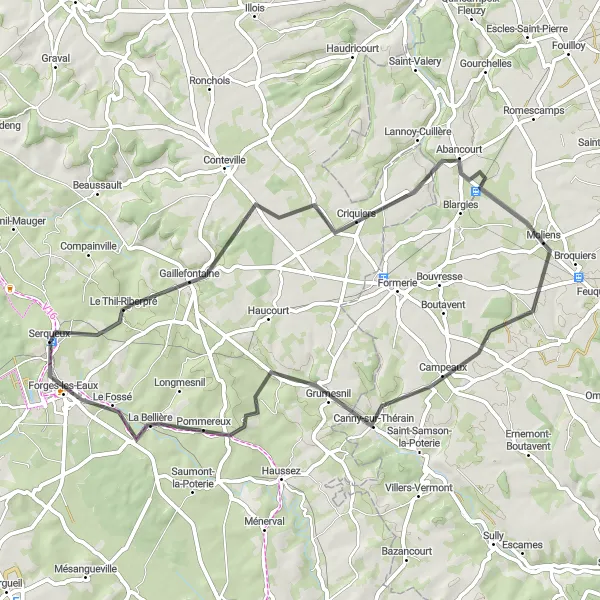
Discover the hidden charm of Gaillefontaine and its neighboring towns
Embark on a cycling journey through the scenic landscapes surrounding Gaillefontaine. This road route spans 58 km with an ascent of 404 m, providing a moderate challenge for cyclists. Explore highlights such as Criquiers, a picturesque village located 16 km from the starting point. Visit the quaint town of Moliens, known for its rich history and cultural heritage. At the 48 km mark, you'll encounter Pommereux, a hidden gem with its charming architecture and tranquil surroundings. Complete your tour by returning to Forges-les-Eaux, taking in the beautiful scenery along the way.
Embark on an adventurous loop starting in Gaillefontaine and explore the scenic surroundings
Embark on an adventurous cycling loop around Gaillefontaine and its neighboring towns. Covering a distance of 80 km with an ascent of 558 m, this route offers a moderate challenge for cyclists. Explore highlights such as Criquiers, a charming village displaying traditional Normandy architecture. Enjoy the idyllic setting of Sarcus, known for its picturesque landscapes and peaceful ambiance. At the 78 km mark, you'll encounter Le Fossé, a hidden gem offering stunning views of the surrounding countryside. Conclude your journey by returning to Gaillefontaine, taking in the beauty of the rural landscapes.

Explore the picturesque landscapes surrounding Le Mesnil-Lieubray
Delve into the beauty of the countryside on this road cycling route near Le Mesnil-Lieubray. With a distance of 54 km and an ascent of 391 m, this route provides a moderate challenge for cyclists. Discover highlights such as Croisy-sur-Andelle, a quaint village displaying typical Normandy architecture. Journey through Bosc-Bordel and immerse yourself in its serene countryside ambiance. At the 48 km mark, you'll arrive at Mauquenchy, renowned for its horse racing heritage and charming rural scenery. Conclude your tour by returning to Le Mesnil-Lieubray, taking in the captivating surroundings.
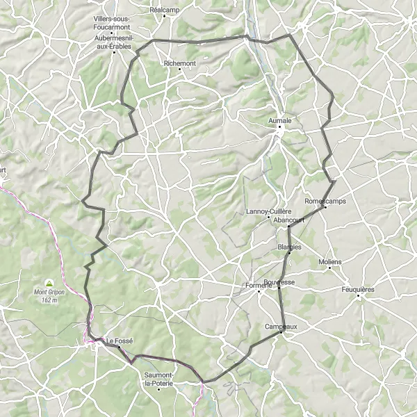
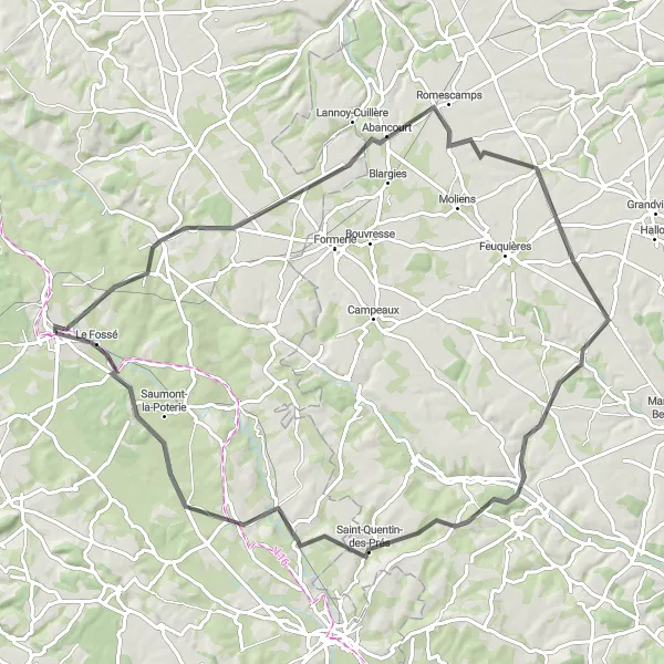
Take on the challenging route to Bouvresse starting near Forges-les-Eaux
Prepare for a challenging 95 km road cycling journey from Forges-les-Eaux to Bouvresse. With an ascent of 760 meters, this route is recommended for experienced cyclists looking to test their skills. Highlights include the charming village of Beaussault, with its historic church and quaint streets, Rétonval, known for its picturesque landscapes, and Escles-Saint-Pierre, surrounded by idyllic countryside. The highlight of the journey is Bouvresse, a village renowned for its historic chateau and fascinating history. Brace yourself for an epic adventure through the captivating landscapes of Haute-Normandie.
Explore the scenic town of Formerie on this road cycling route
Embark on a 40 km road cycling adventure from Forges-les-Eaux and explore the scenic town of Formerie. With a moderate level of ascent (289 meters), this route is suitable for well-trained amateurs seeking a picturesque journey. Enjoy the peaceful countryside and pass through charming villages as you make your way towards Formerie. The highlight of this route is Canny-sur-Thérain, a village known for its beautiful gardens and historical heritage. Immerse yourself in the beauty of Normandy on this captivating cycling tour.
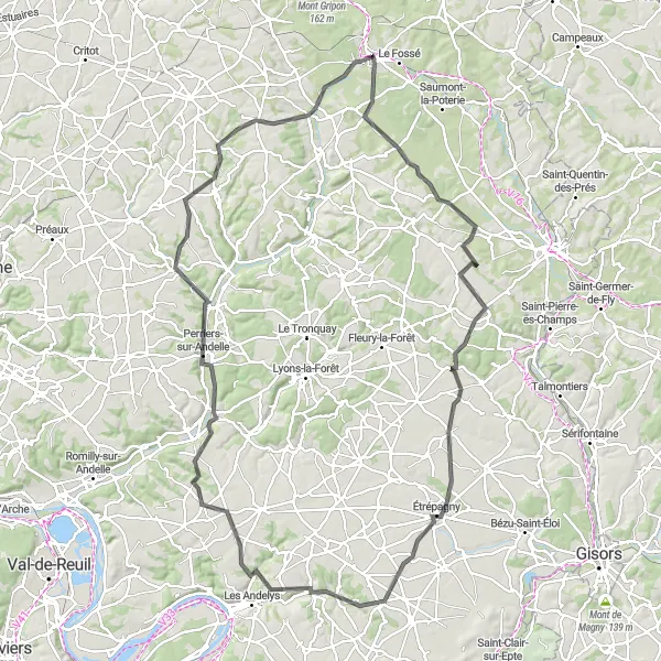
Embark on a scenic route to Nolléval and discover hidden treasures along the way
Experience the splendor of the countryside on this road cycling route to Nolléval. Spanning 69 km with an ascent of 541 m, this journey offers a moderate challenge for cyclists. Discover highlights such as Dampierre-en-Bray, a picturesque village boasting stunning architecture and lush greenery. Journey through Bosc-Hyons and immerse yourself in its tranquility and natural beauty. At the 52 km mark, you'll reach Bézu-la-Forêt, a hidden gem known for its charming atmosphere and captivating landscapes. Conclude your adventure in Nolléval and take in its scenic views.
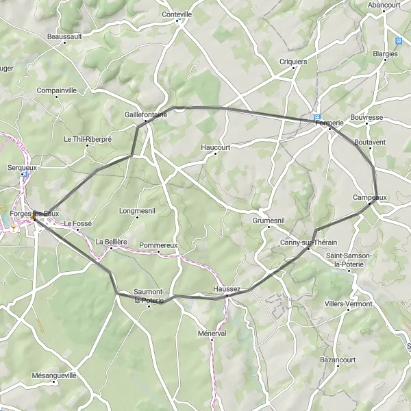
Scenic Tour of Gaillefontaine

Experience the beauty of Gaillefontaine on this road cycling route
Immerse yourself in the scenic beauty of Gaillefontaine on this 58 km road cycling route starting near Forges-les-Eaux. With a moderate level of ascent (361 meters) and distance, this route is perfect for well-trained amateurs seeking a picturesque adventure. Highlights include the charming village of Broquiers, known for its historic buildings, and the pottery village of Saint-Samson-la-Poterie. Delight in the serene landscapes and rolling hills as you pedal through the countryside. Experience the true essence of Normandy on this epic cycling journey.
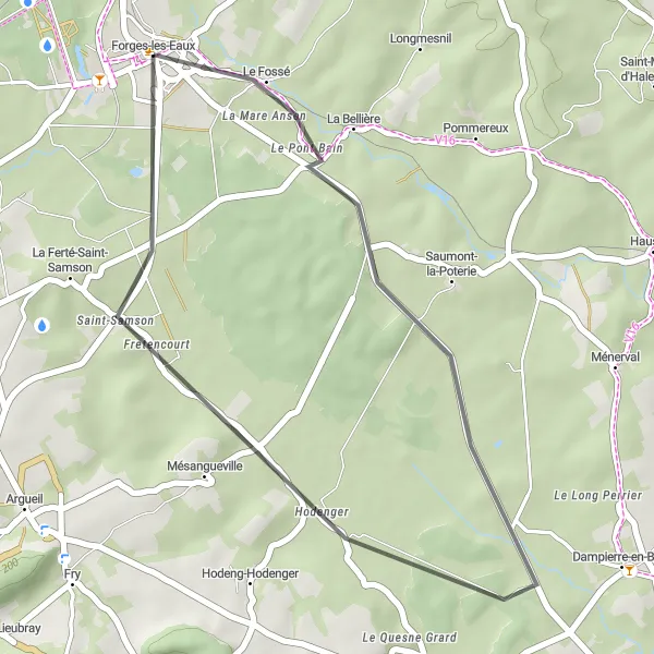
Uncover the hidden gem of Hodenger on this road cycling route
Embark on a delightful 27 km road cycling journey starting near Forges-les-Eaux and discover the hidden gem of Hodenger. With a relatively gentle ascent of 129 meters, this route is suitable for cyclists of all skill levels. Pass picturesque landscapes and charming villages as you pedal through the countryside. The highlight of this route is the village of Saint-Samson, where you can take a break and enjoy a delicious meal at one of the local restaurants. Immerse yourself in the beauty of Haute-Normandie on this scenic cycling adventure.
Forges-les-Eaux and Beyond
Cycle through the picturesque towns surrounding Forges-les-Eaux
Embark on a cycling adventure through the charming towns near Forges-les-Eaux. With a total distance of 118 km and an ascent of 869 m, this road route offers a moderate challenge. Discover highlights such as Elbeuf-en-Bray, a delightful village located 18 km from the starting point. Journey through Montroty and Étrépagny, where you will be greeted by stunning landscapes. At the 84 km mark, you'll arrive at Perriers-sur-Andelle, known for its picturesque surroundings and historical significance. Make a stop at Boissay and Bosc-Édeline to immerse yourself in their tranquil ambiance.
Cycling routes nearby:
Nearby regions: