Tranquil rides through timeless landscapes
Cycling routes from Feuquieres
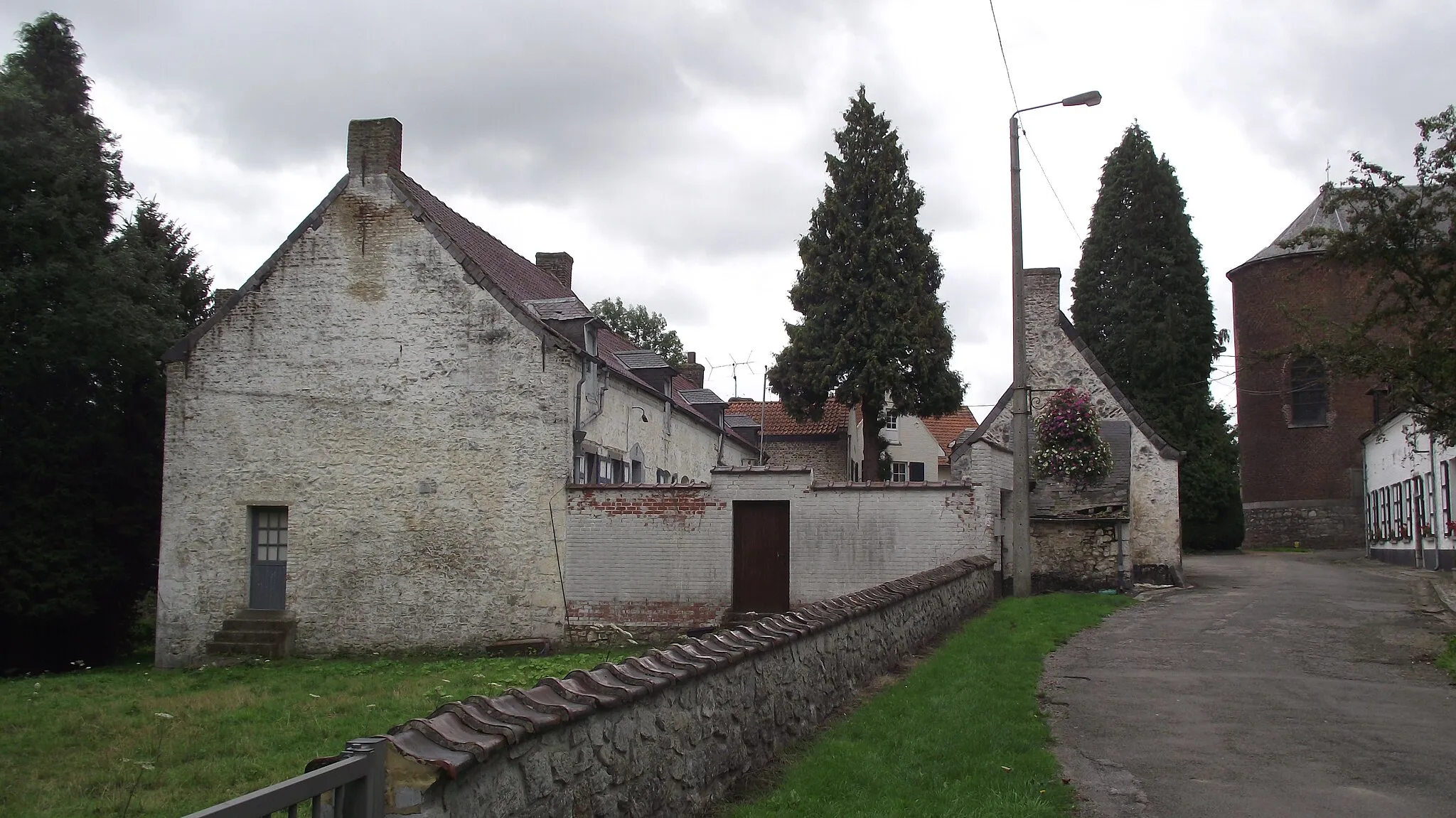
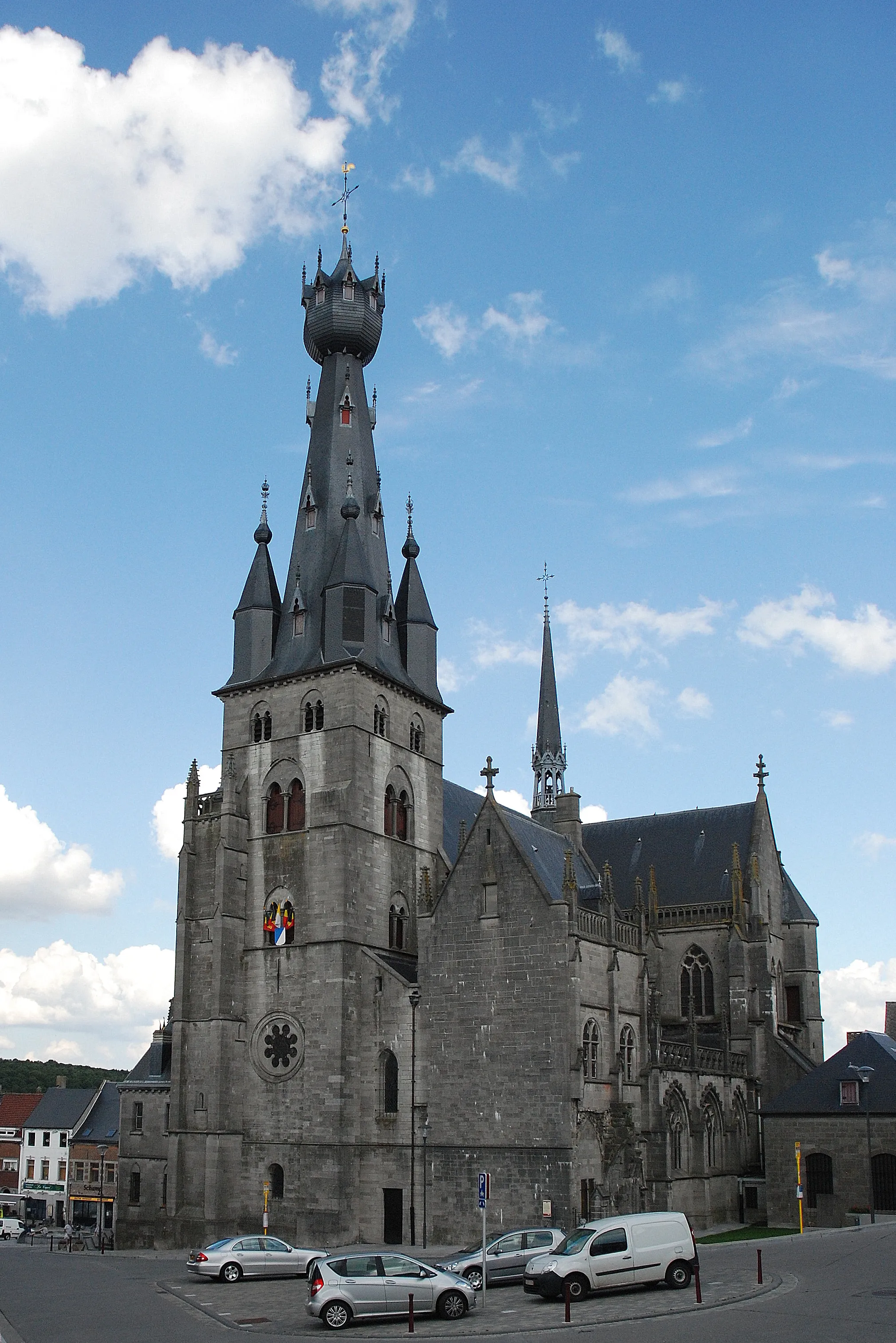
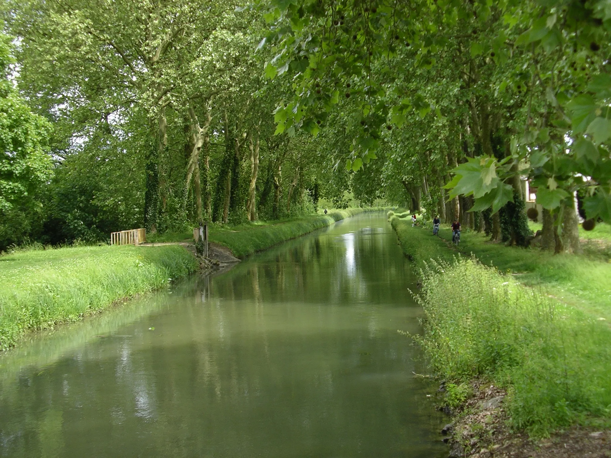
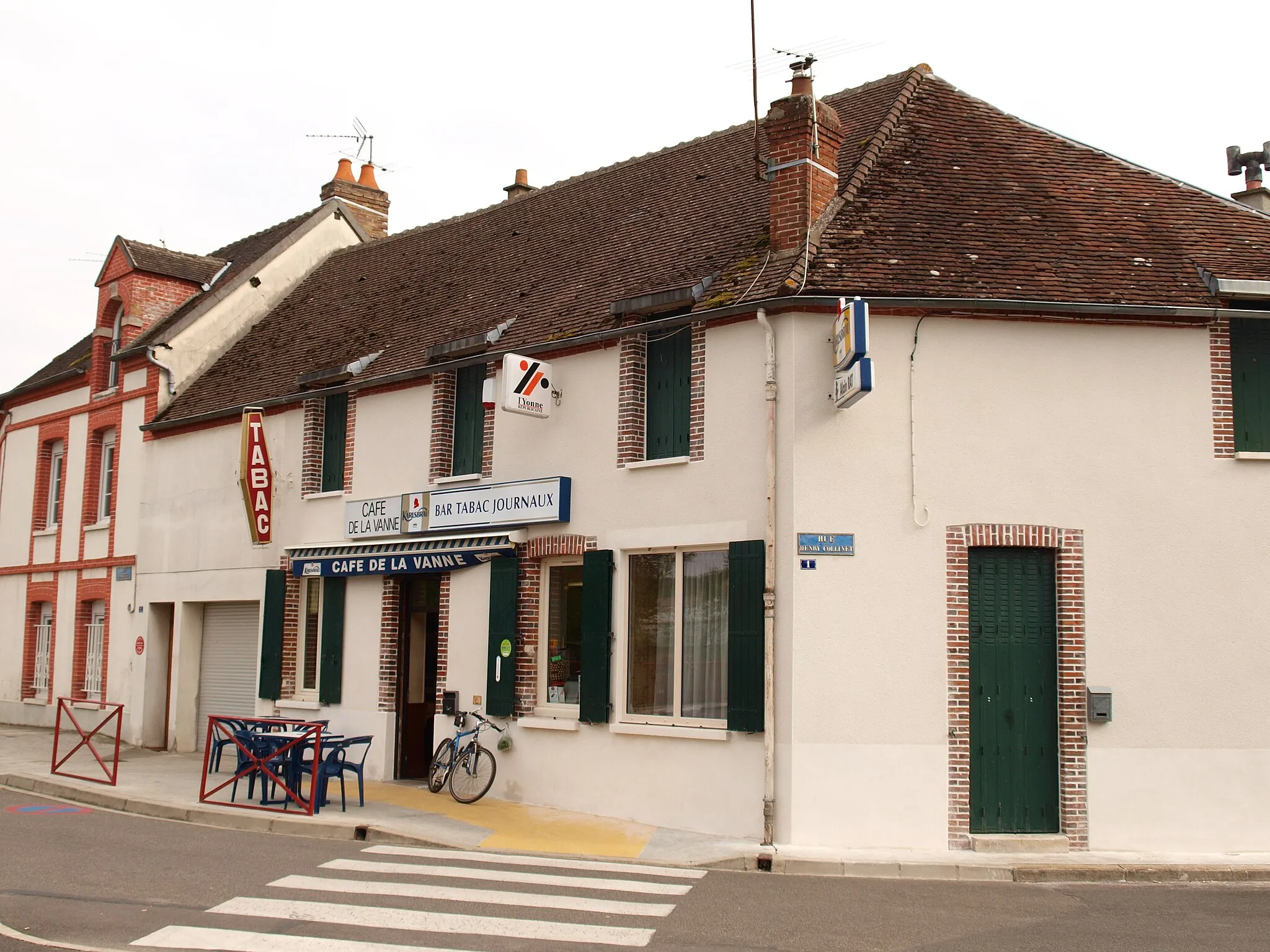
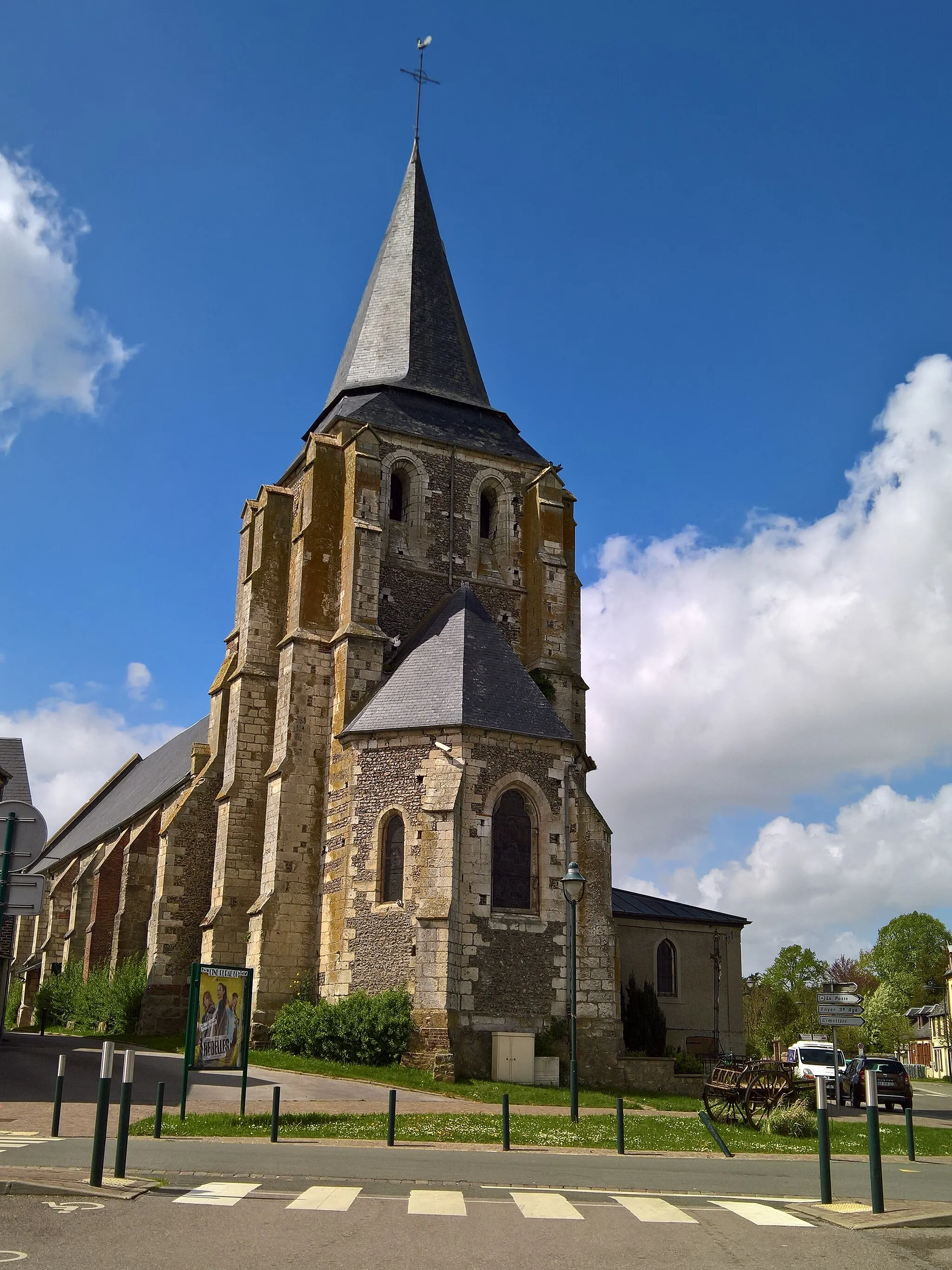
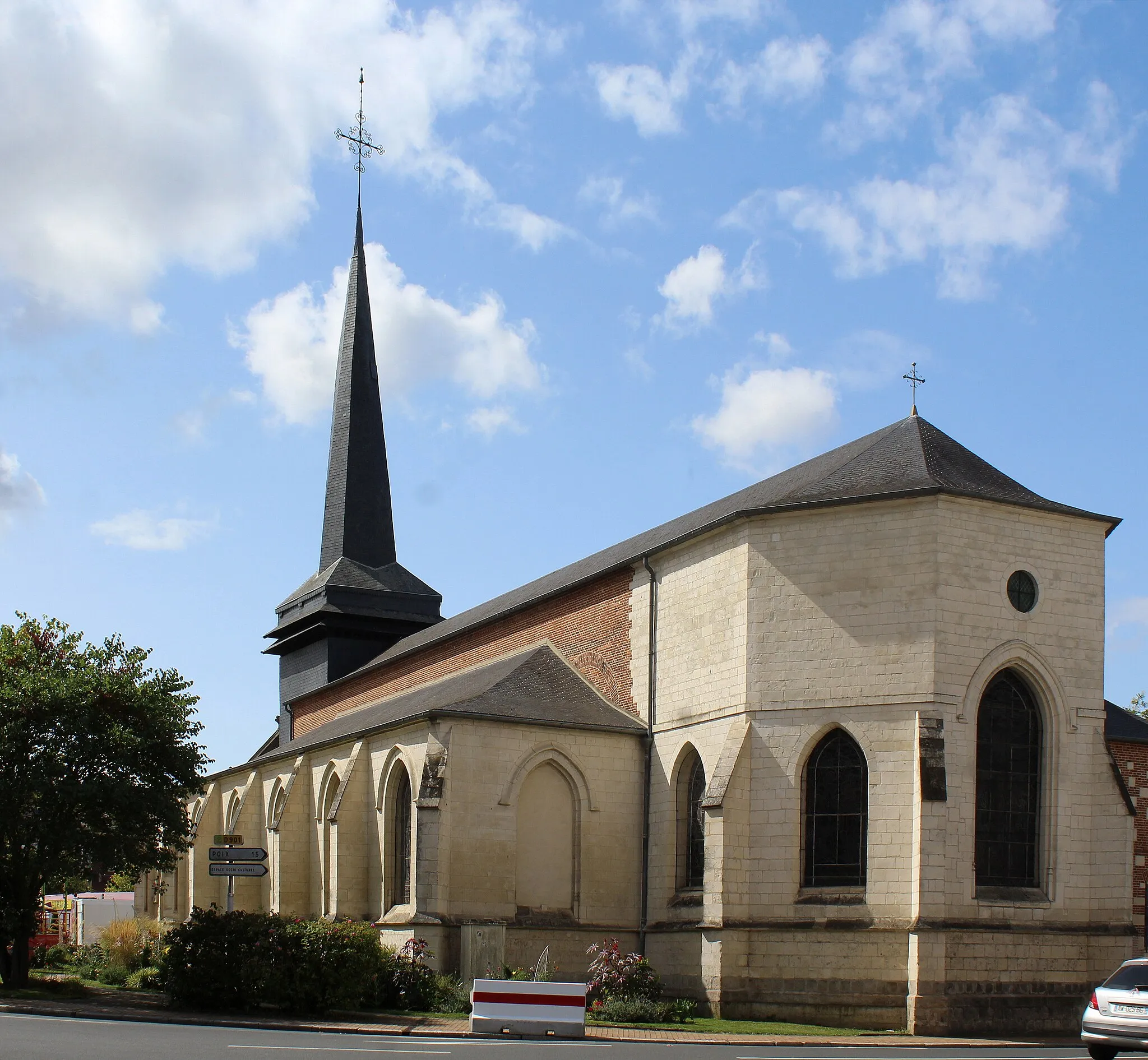
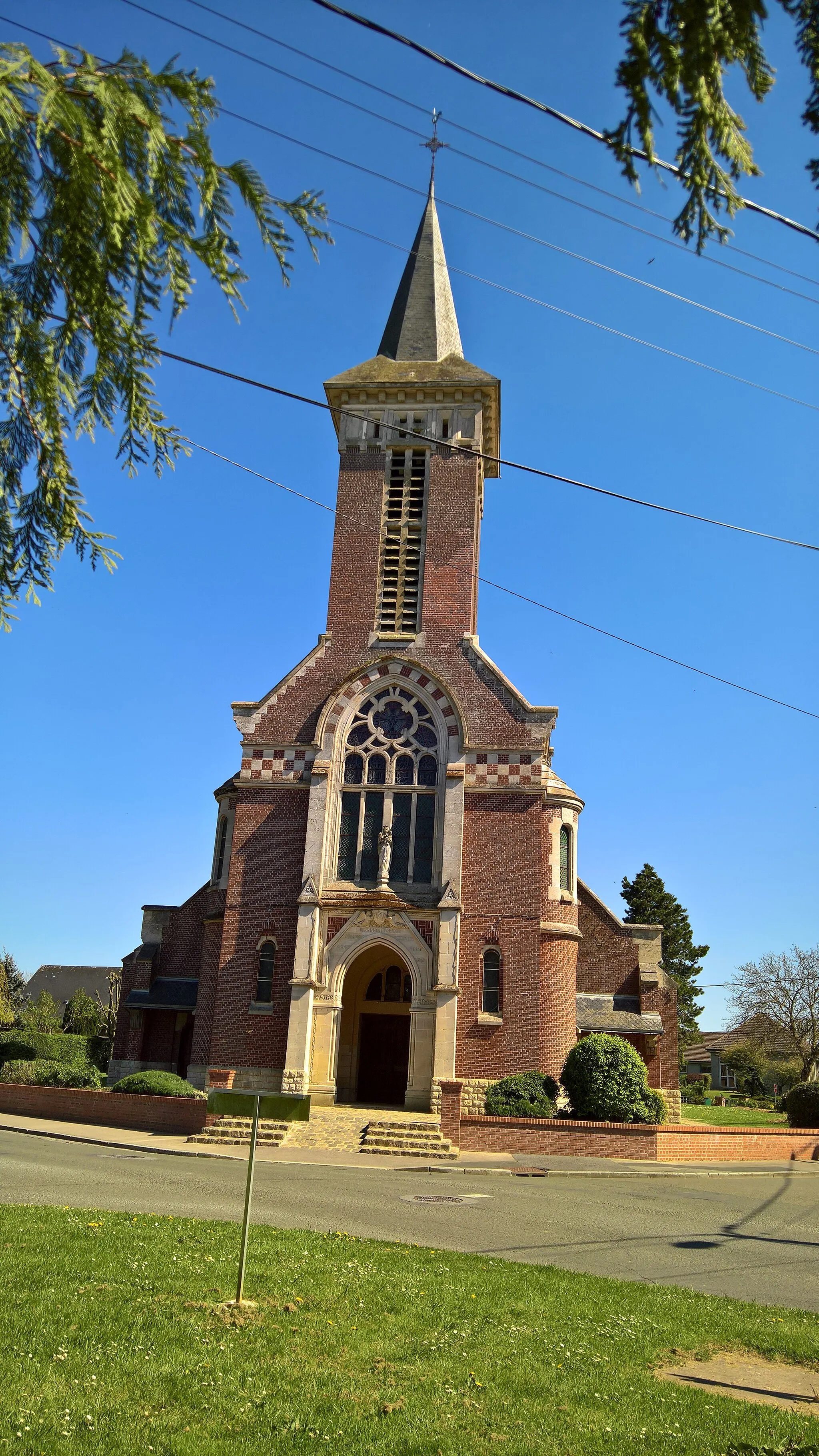
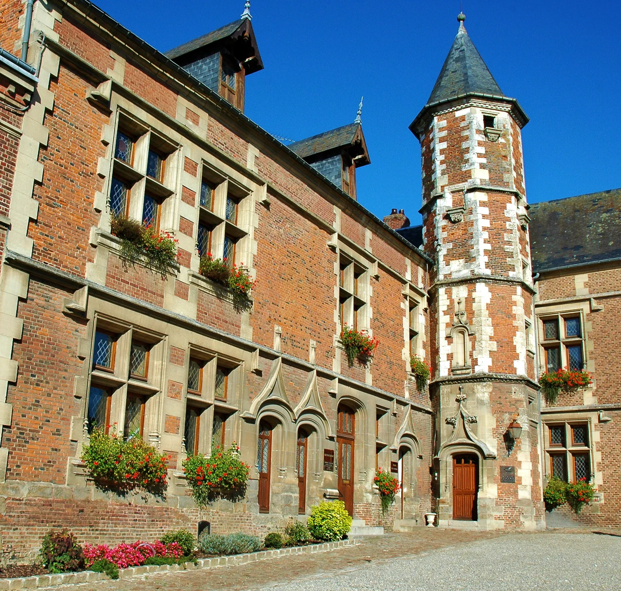
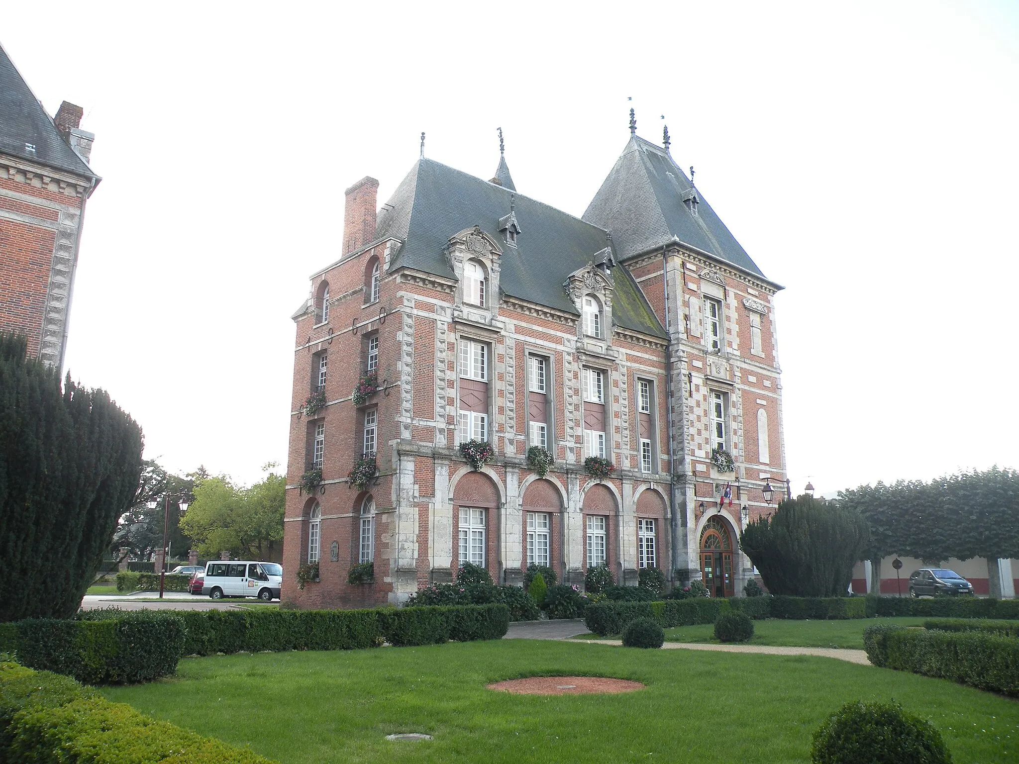
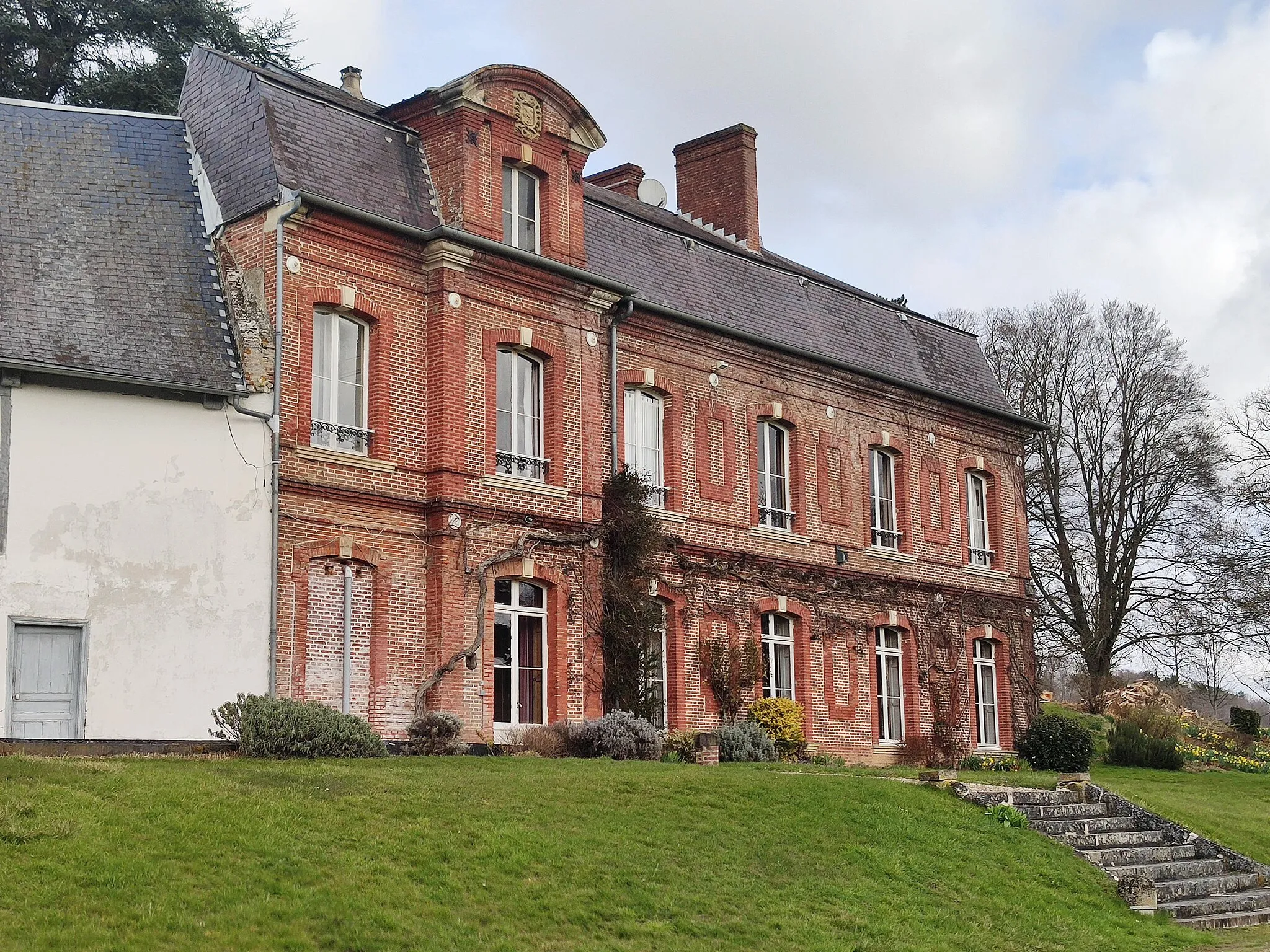
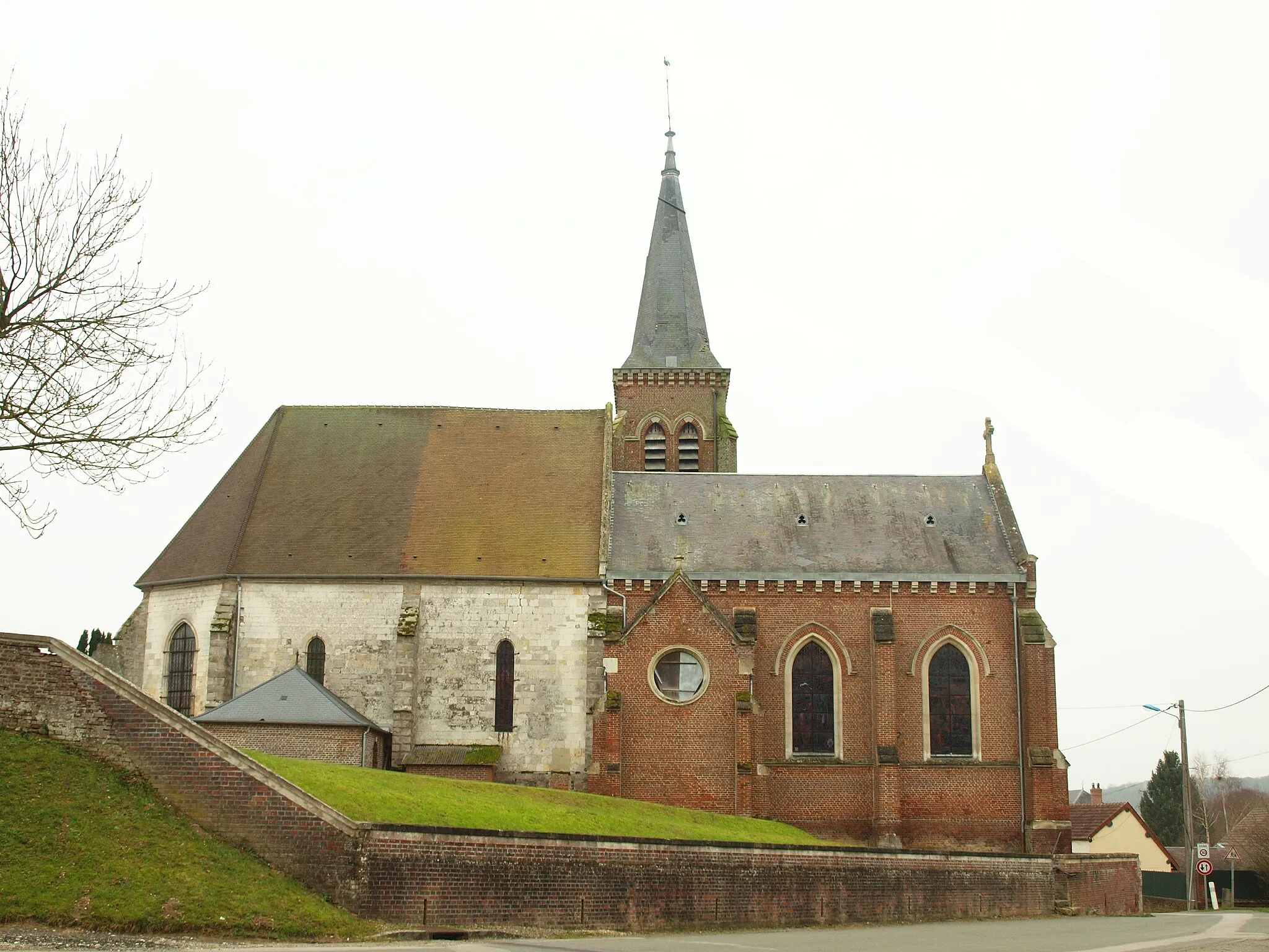
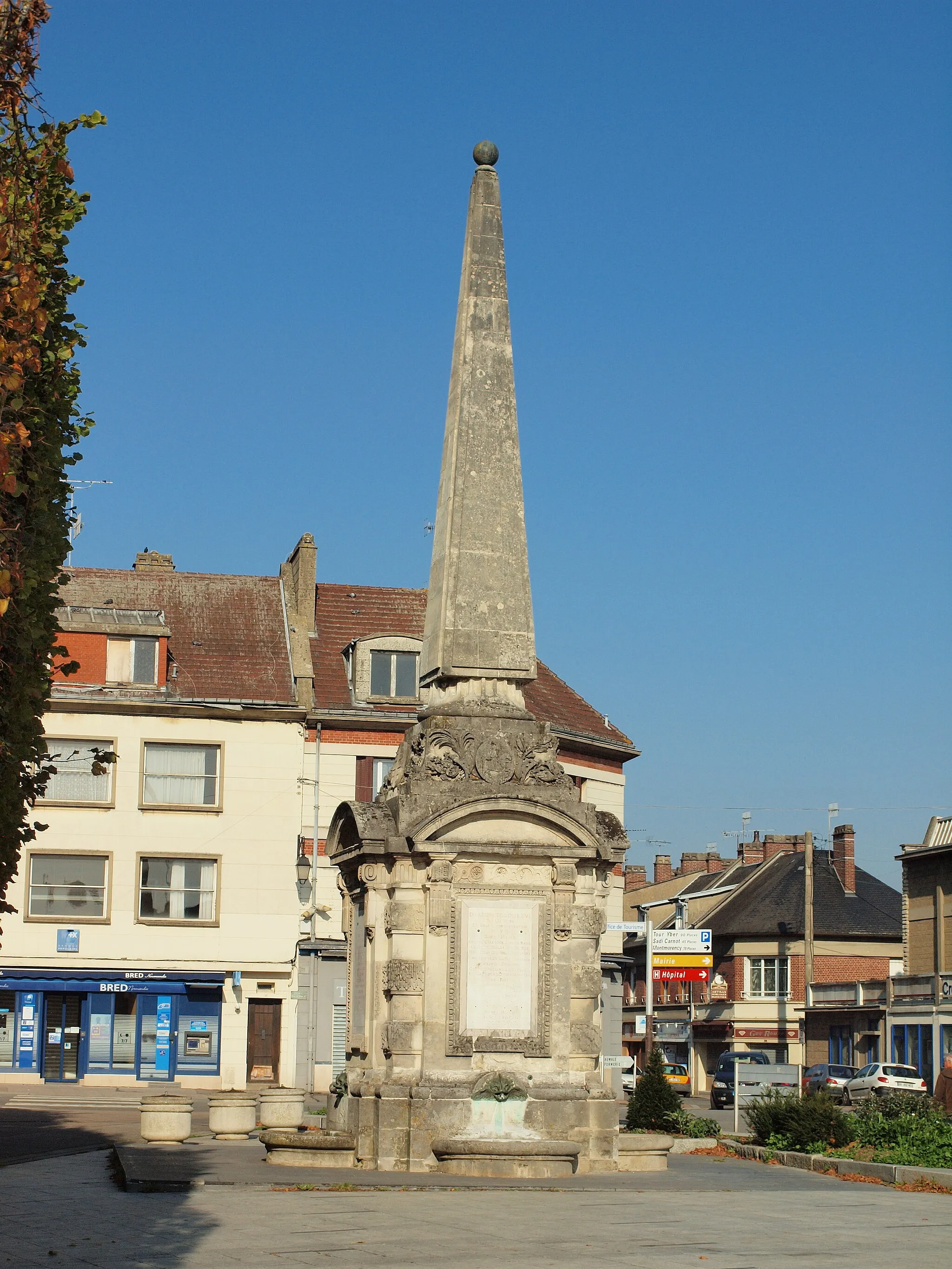
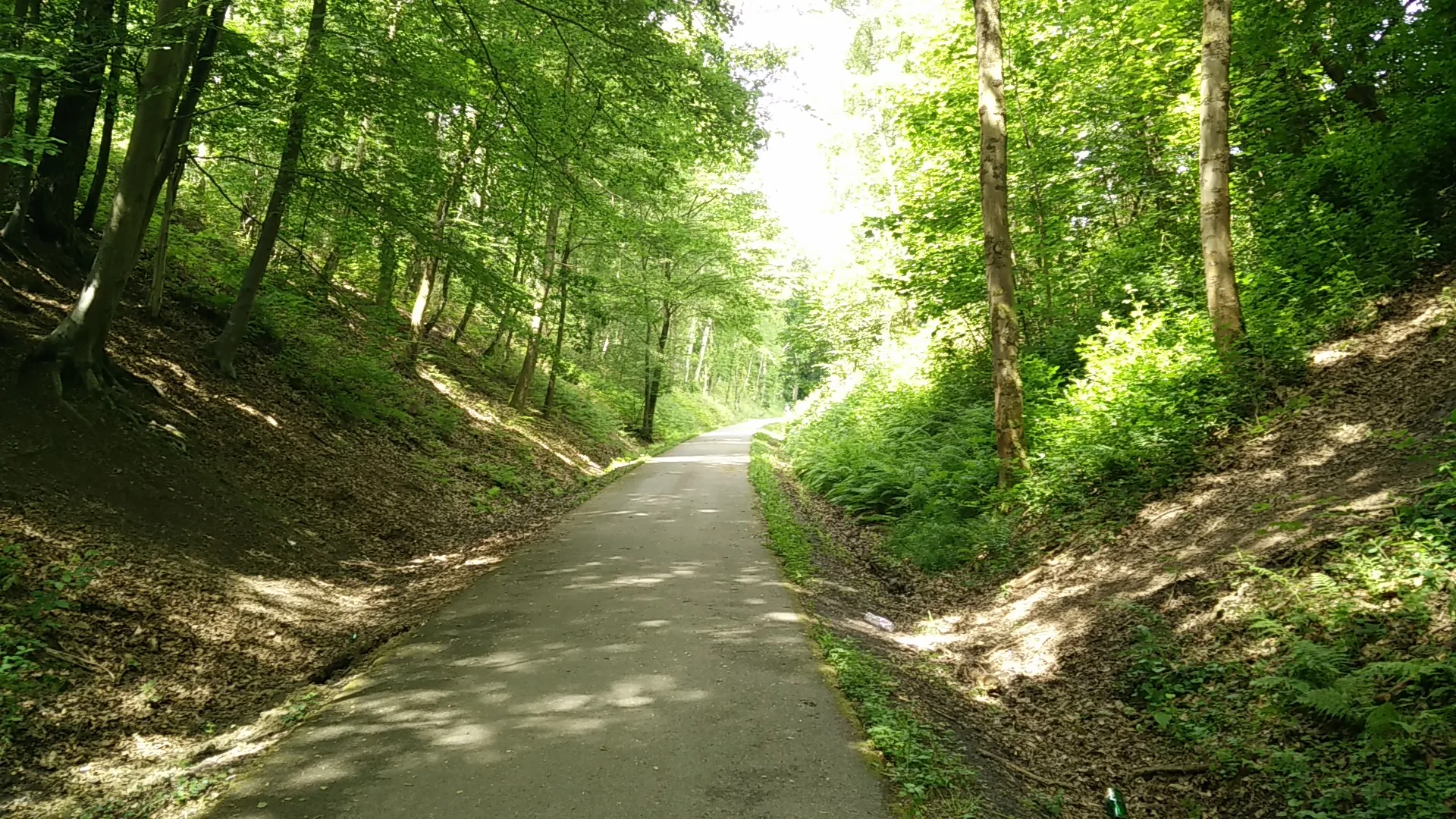
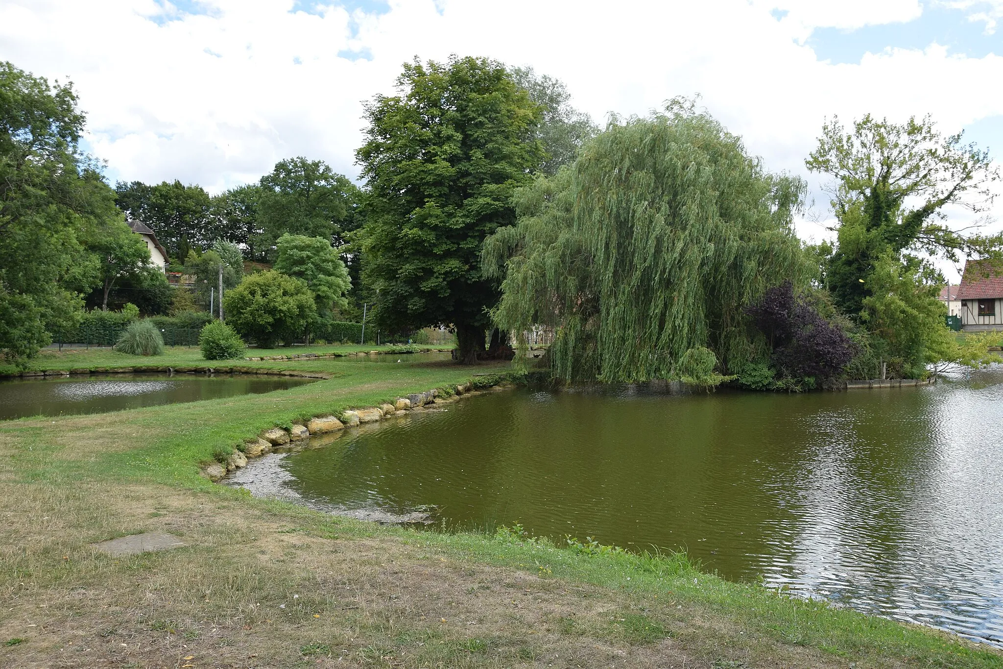
Feuquières, located in the Picardie region of France, offers a pleasant cycling experience for enthusiasts. With its serene rural landscapes and well-maintained roads, cyclists can enjoy peaceful rides through picturesque villages and scenic farmland. The region also features several charming chateaux and historical sites, adding cultural interest to the cycling routes. While there may not be any famous climbs or key tourist spots in the immediate vicinity, Feuquières provides a quiet and relaxing cycling retreat.
Explore the hidden treasures of Picardie
Embark on a journey of discovery through the hidden treasures of Picardie. This route takes you on a scenic road tour, revealing hidden gems that are often overlooked. Immerse yourself in the rich history and cultural heritage of the region as you cycle through charming villages and breathtaking landscapes.
Gravel Adventure

Experience the thrill of gravel cycling in Picardie
Embark on an adventurous gravel cycling journey through the diverse landscapes of Picardie. This route takes you off the beaten path, exploring rugged terrain and scenic countryside. Test your skills and challenge yourself with the exhilarating gravel tracks.
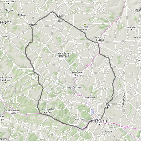
Explore heritage sites as you cycle to Omécourt
Embark on a heritage trail to Omécourt, a beautiful village near Feuquières. With a distance of 90 km and an ascent of 552 m, this road cycling route requires a moderate level of fitness. The route offers captivating landscapes, historically significant sites, and a glimpse into the region's rich heritage. It is recommended for well-trained amateur cyclists seeking a rewarding journey. The difficulty level is 3, with an epicness score of 4, ensuring an enjoyable and memorable experience.
Discover Hidden Gems

Uncover the hidden treasures of Picardie
Embark on a cycling journey and uncover the hidden gems of Picardie. This route takes you through lesser-known villages and scenic routes that are off the beaten path. Experience the true essence of the region as you immerse yourself in its rich history and natural beauty.
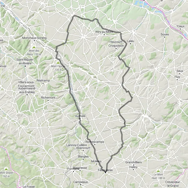
Embark on a challenging ride to Le Mesnil-Conteville
The Mesnil-Conteville Challenge is a demanding road cycling route near Feuquières. Spanning 89 km with an elevation gain of 567 m, it proves to be a rewarding cycling experience. With a difficulty level of 4, this route is recommended for well-trained amateur cyclists. Its epicness score of 4 highlights its captivating landscapes and scenic vistas. Prepare yourself for an exhilarating adventure.
Picardie Adventure

Cycle through the picturesque landscapes of Picardie
Embark on an exciting cycling adventure through the stunning landscapes of Picardie. This route takes you on a journey through small villages, rolling hills, and beautiful countryside. Experience the rich history and culture of the region along the way.
Scenic Road Tour

Immerse yourself in the scenic beauty of Picardie
Embark on a picturesque road tour through the stunning landscapes of Picardie. This route takes you through rolling hills, charming villages, and breathtaking vistas. Immerse yourself in the natural beauty of the region and enjoy a refreshing cycling experience.
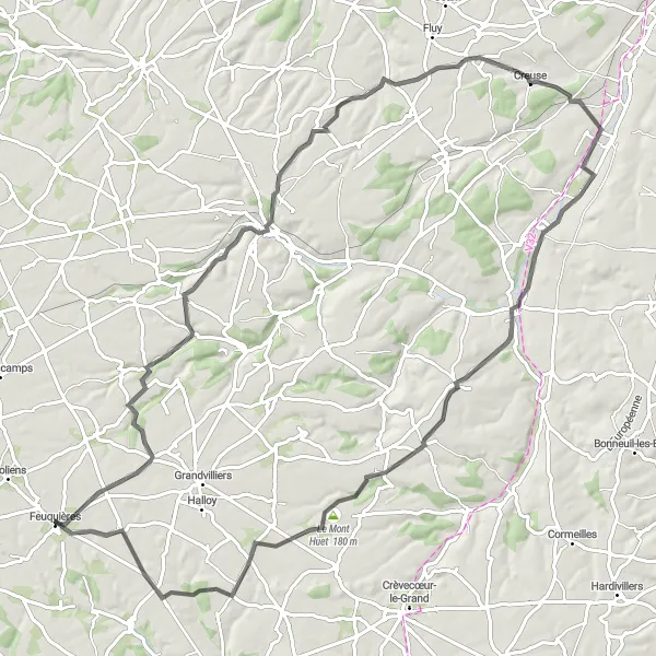
The Val-de-Somme Discovery

Discover the beauty of Val-de-Somme region while cycling
Experience the enchanting Val-de-Somme region as you cycle through this road route near Feuquières. Covering a distance of 72 km and an elevation gain of 461 m, this route promises picturesque scenery and unique cultural experiences. With a difficulty level of 3, it is suitable for well-trained amateur cyclists. Its epicness score of 3 highlights the serene landscapes and cultural attractions along the way.
Gravel Trail to Hautbos
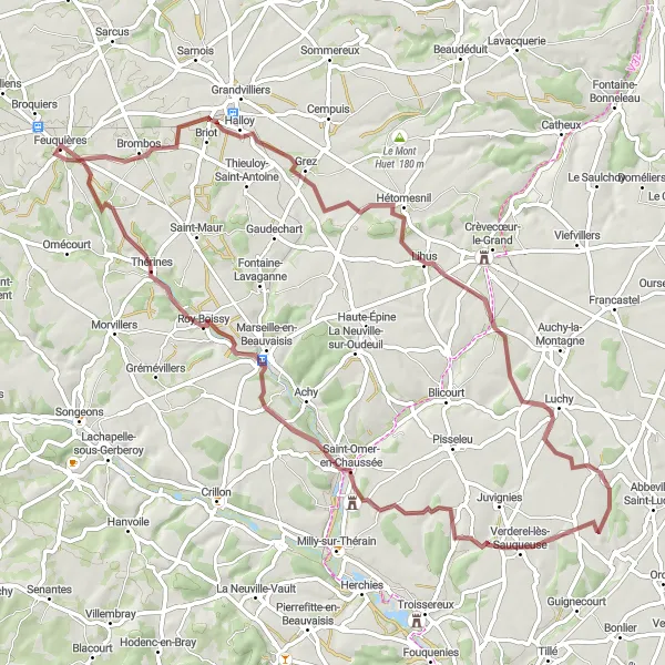
Embark on an adventurous gravel trail to Hautbos
For those seeking an off-road adventure near Feuquières, the Gravel Trail to Hautbos provides an exhilarating option. With a distance of 70 km and an ascent of 442 m, this gravel route offers stunning natural landscapes and rugged terrain. The difficulty level is 4, suited for experienced amateur cyclists with gravel biking skills. With an epicness score of 3, this route guarantees a thrilling and memorable biking experience.
Sarnois Loop

Ride through the picturesque village of Sarnois
The Sarnois Loop is a delightful cycling route starting near Feuquières. It covers a distance of 36 km with an ascent of 157 m. The difficulty level of this route is moderate, suitable for well-trained amateur cyclists. With a score of 4 for epicness, it offers scenic landscapes and peaceful countryside roads.
Cycling routes nearby:
Nearby regions: