The Mesnil-Conteville Challenge
A road cycling route starting from Feuquieres
Embark on a challenging ride to Le Mesnil-Conteville
Map
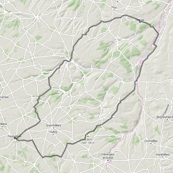
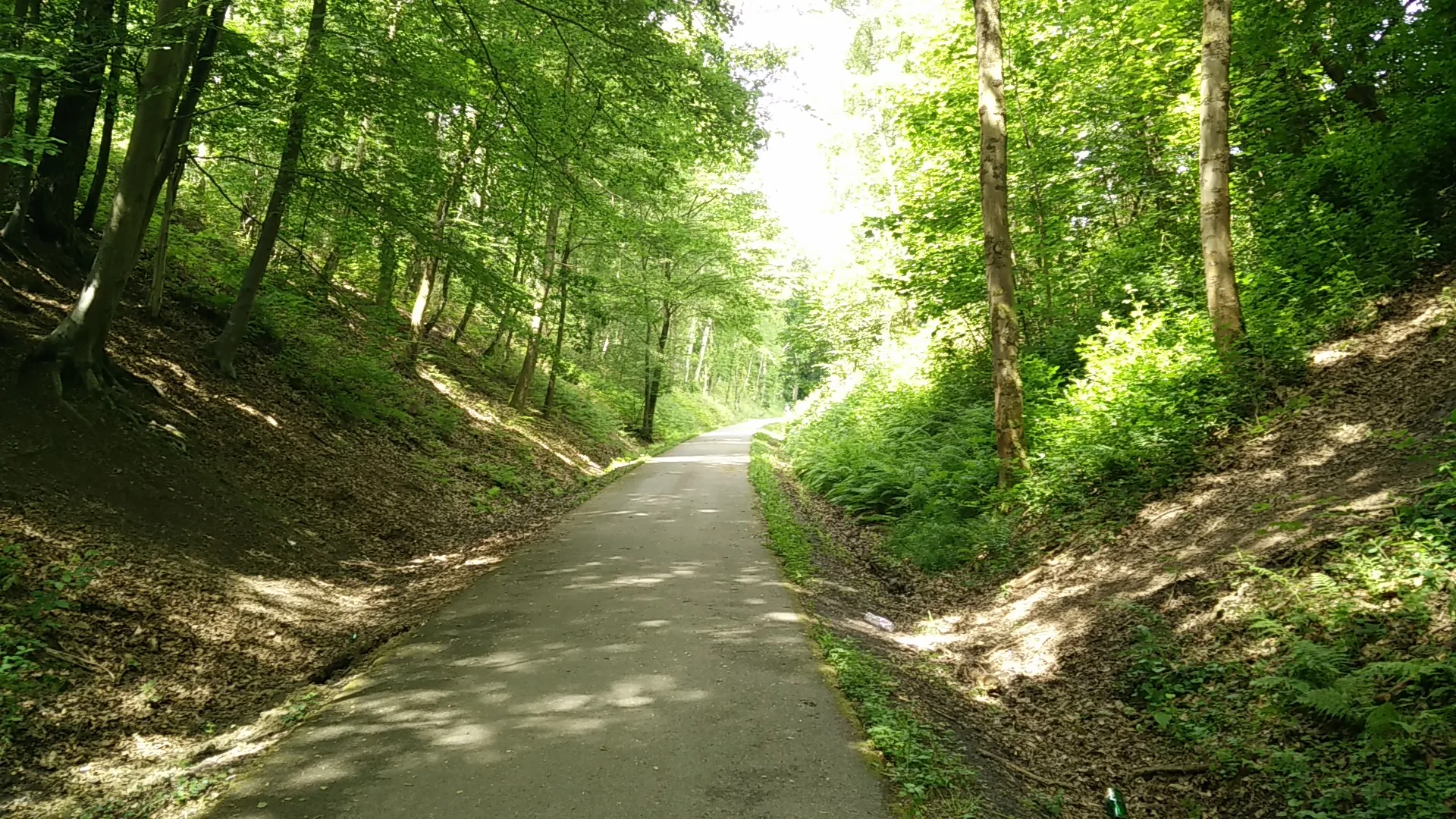
The Mesnil-Conteville Challenge is a demanding road cycling route near Feuquières. Spanning 89 km with an elevation gain of 567 m, it proves to be a rewarding cycling experience. With a difficulty level of 4, this route is recommended for well-trained amateur cyclists. Its epicness score of 4 highlights its captivating landscapes and scenic vistas. Prepare yourself for an exhilarating adventure.
road
89 km
567 m
Tough
Route profile
Highlights on the route
0 km
0 km
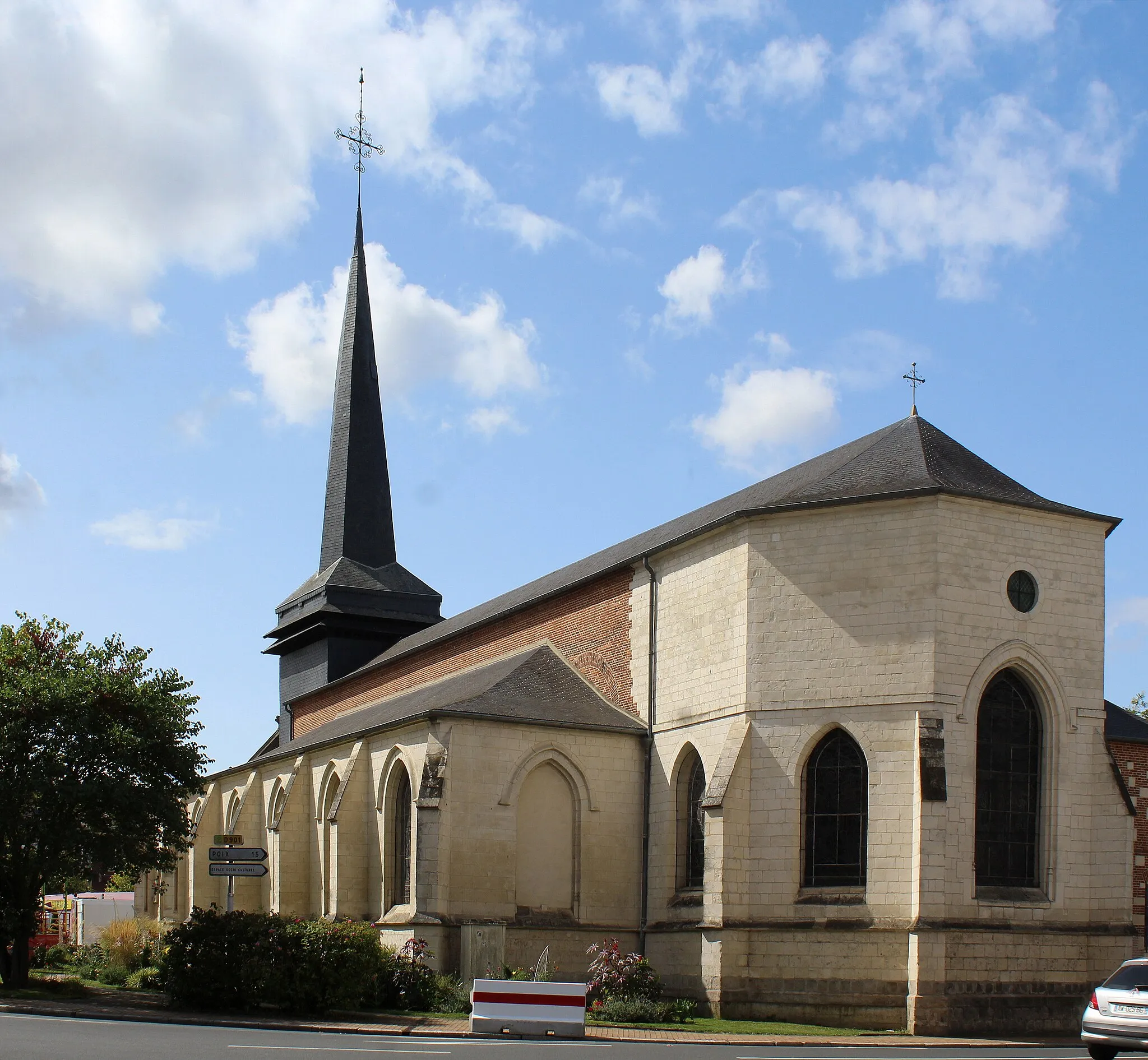
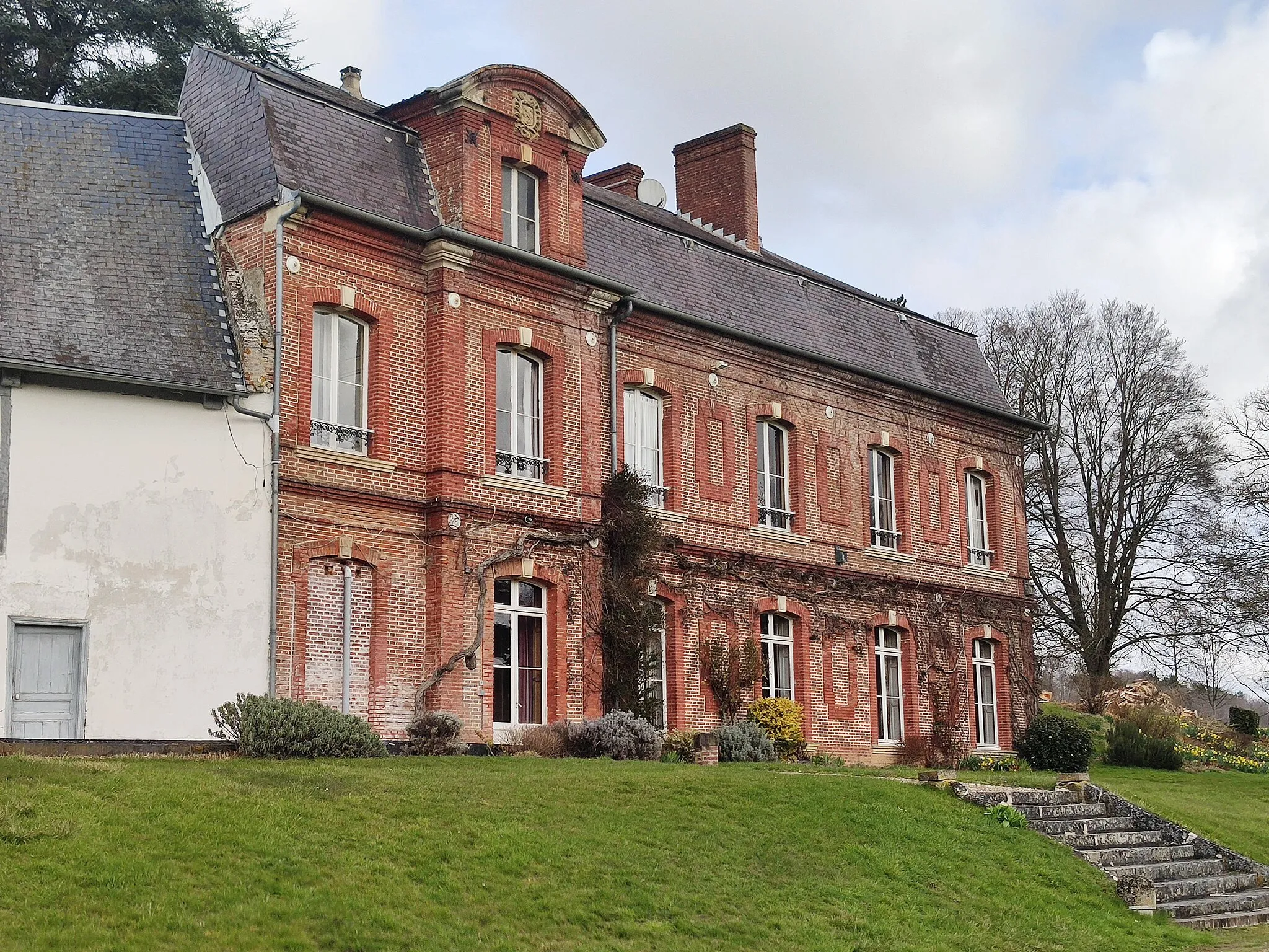
Start: Feuquières Village centerFeuquières: Tranquil rides through timeless landscapes
Feuquières, located in the Picardie region of France, offers a pleasant cycling experience for enthusiasts. With its serene rural landscapes and well-maintained roads, cyclists can enjoy peaceful rides through picturesque villages and scenic farmland. The region also features several charming chateaux and historical sites, adding cultural interest to the cycling routes. While there may not be any famous climbs or key tourist spots in the immediate vicinity, Feuquières provides a quiet and relaxing cycling retreat.14 km
14 km
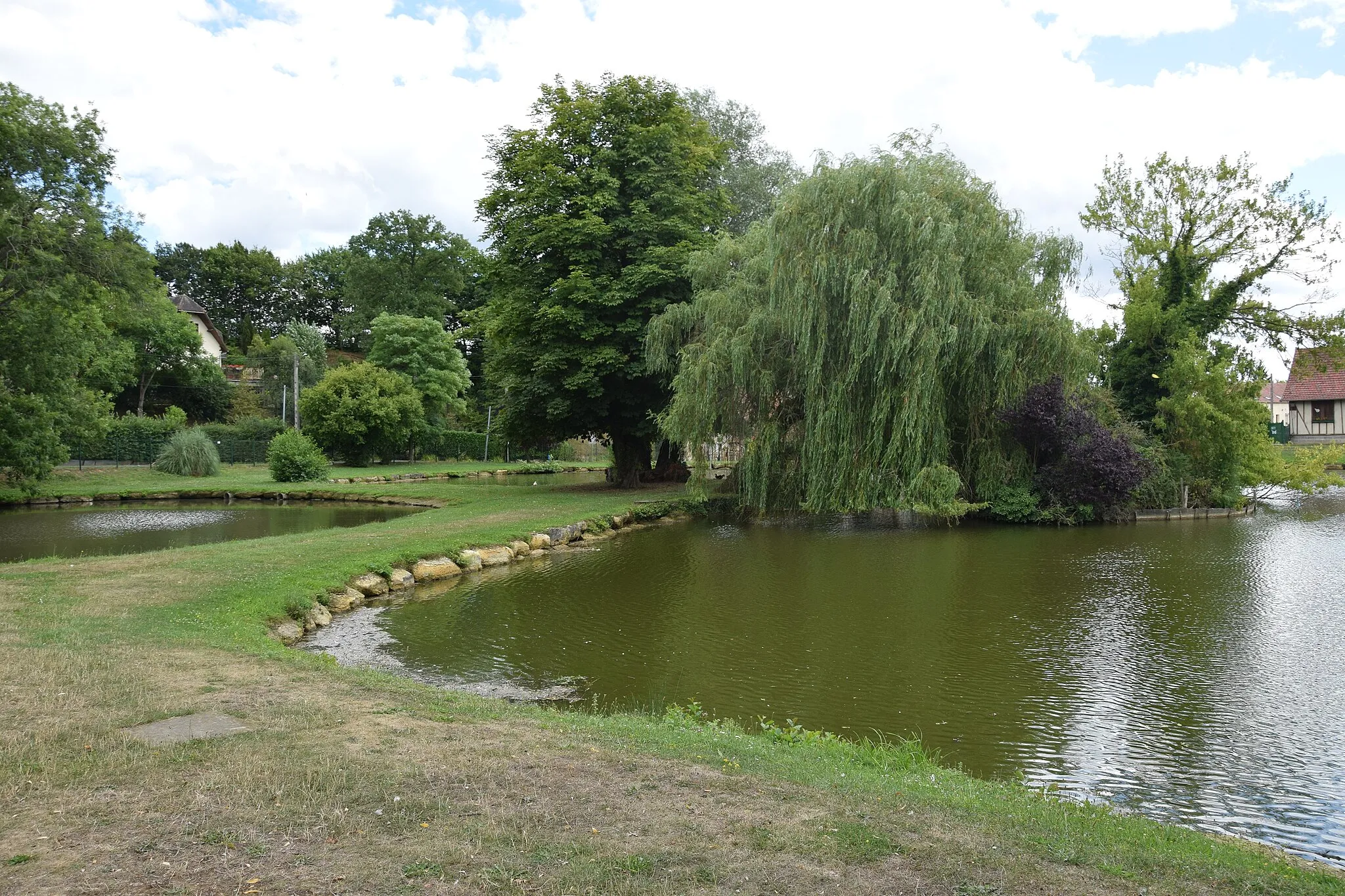
MéréaucourtVillageMéréaucourt offers a serene landscape with its beautiful church and meandering river.
37 km
37 km
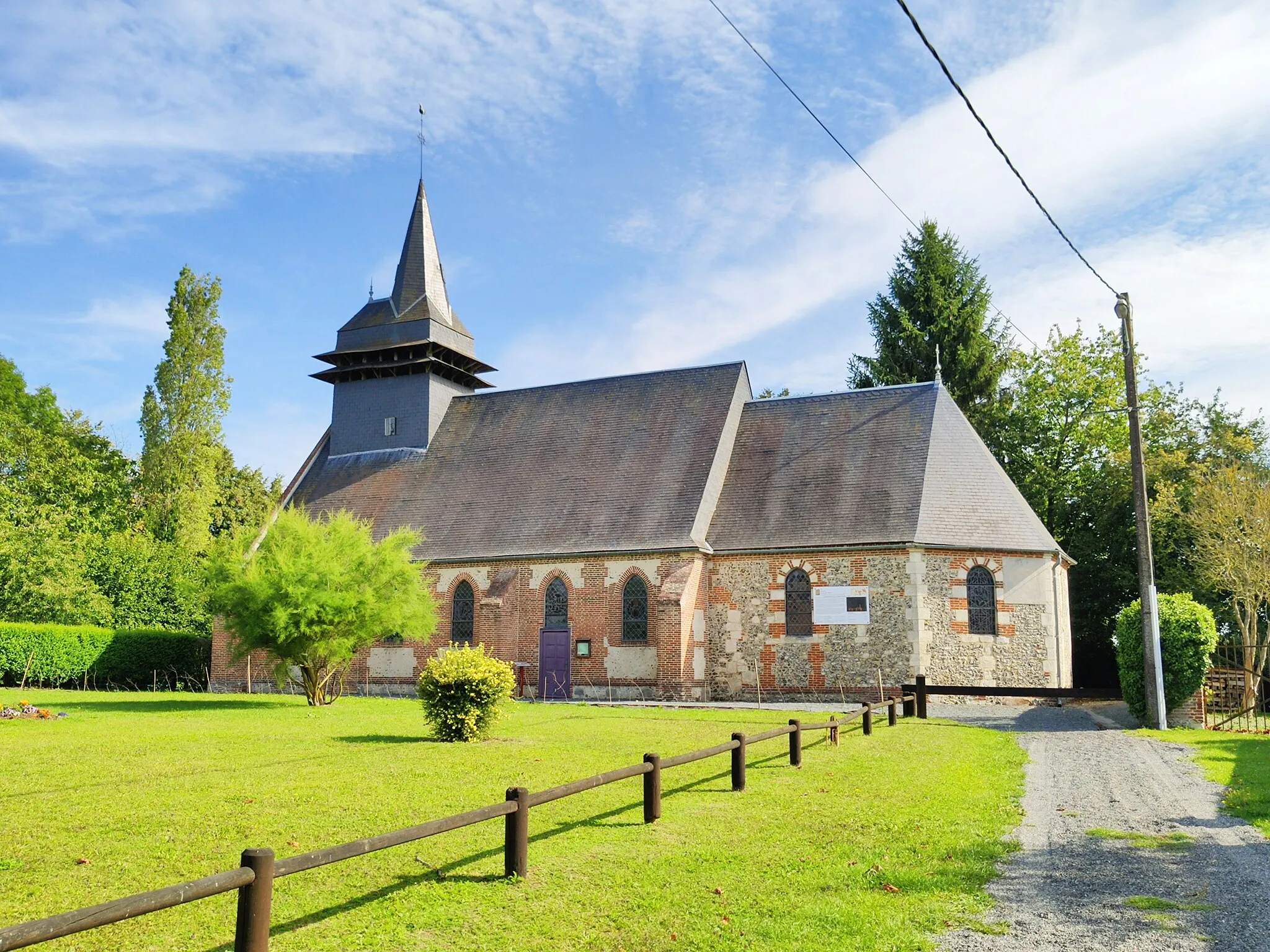
RevellesVillageRevelles is a charming village known for its lush green countryside and picturesque homes.
56 km
56 km
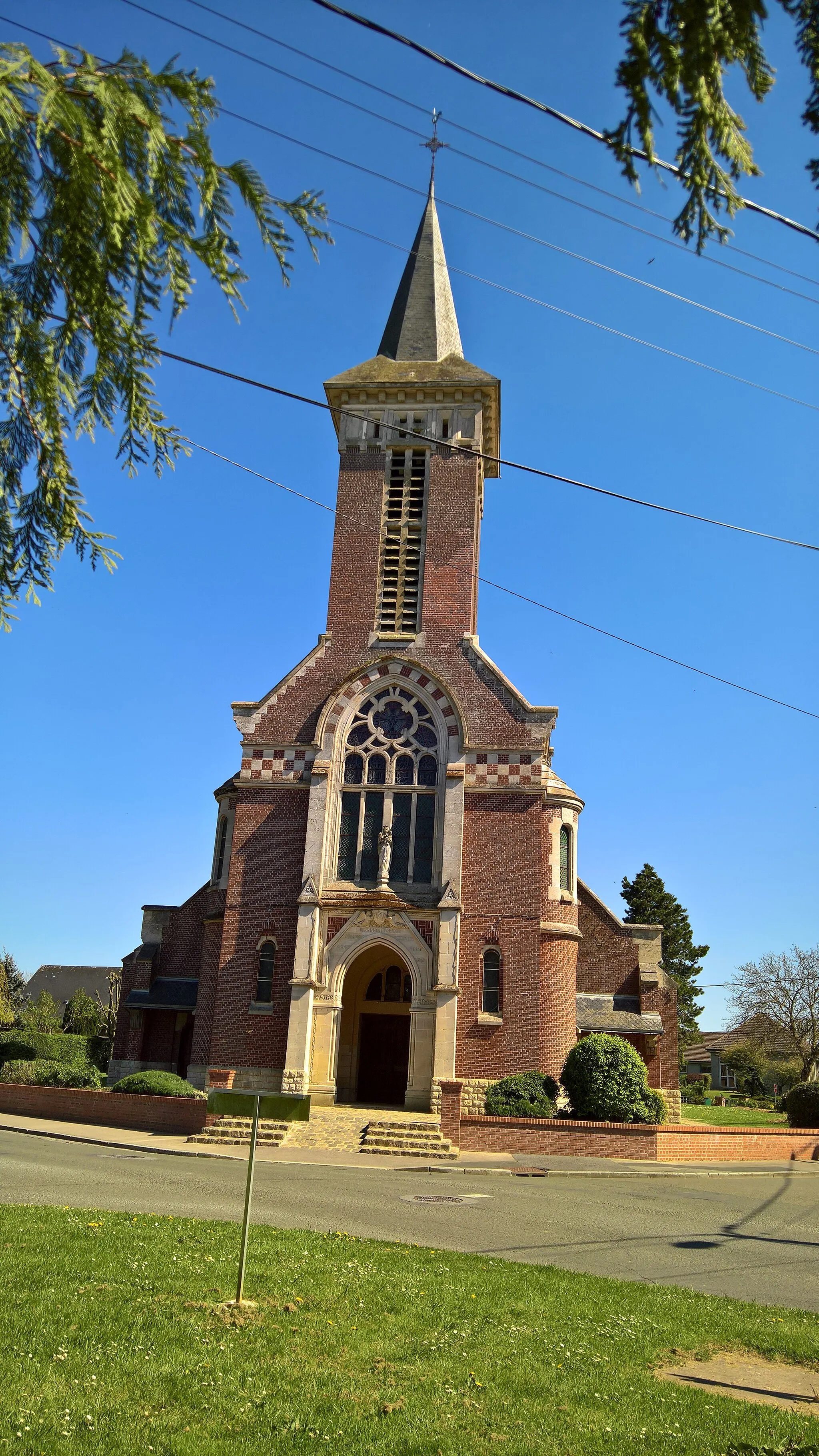
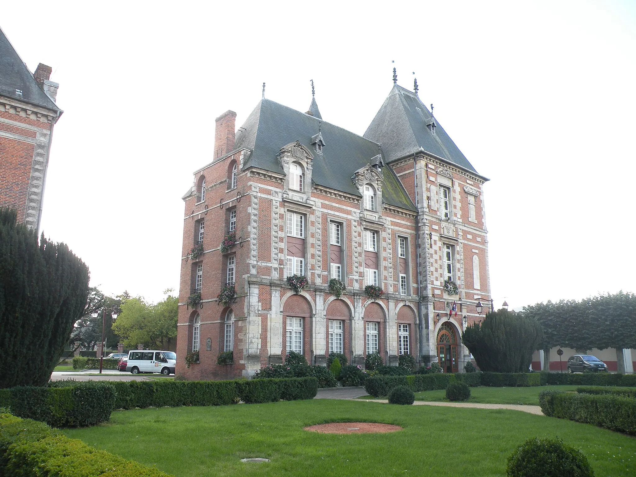
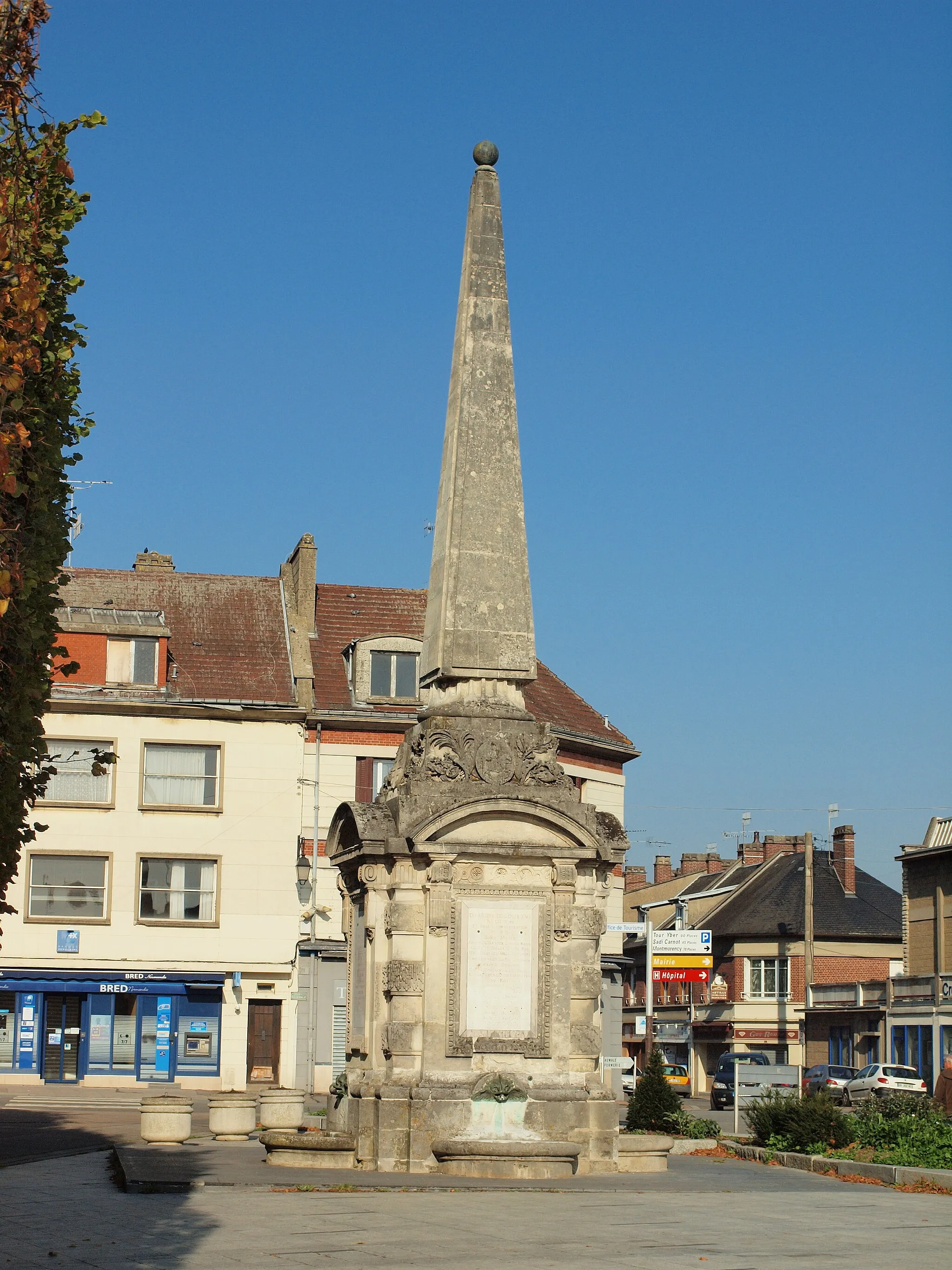
ContyVillageAs you pedal through Conty, take in the stunning views of its historic castle.
68 km
68 km
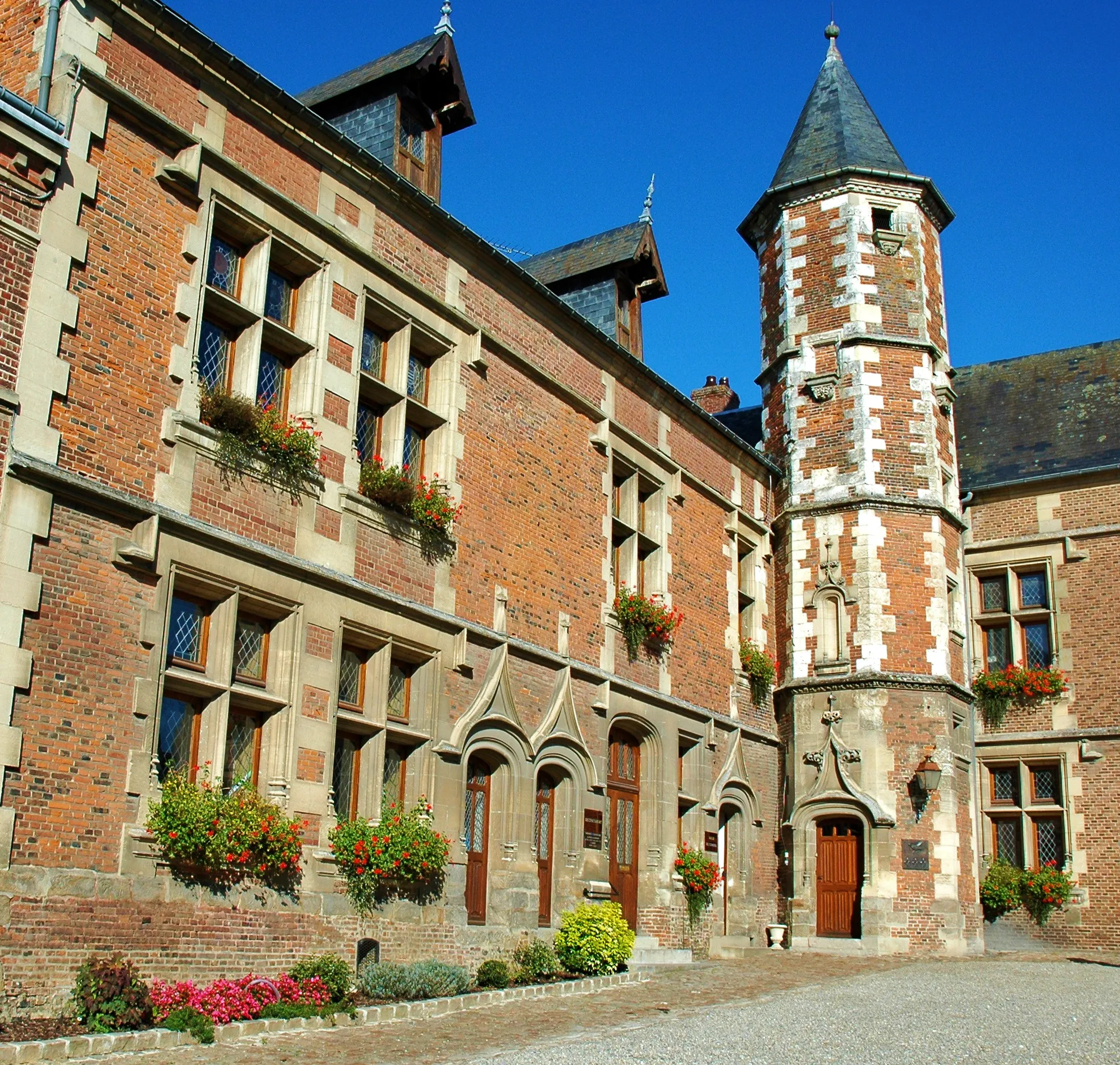
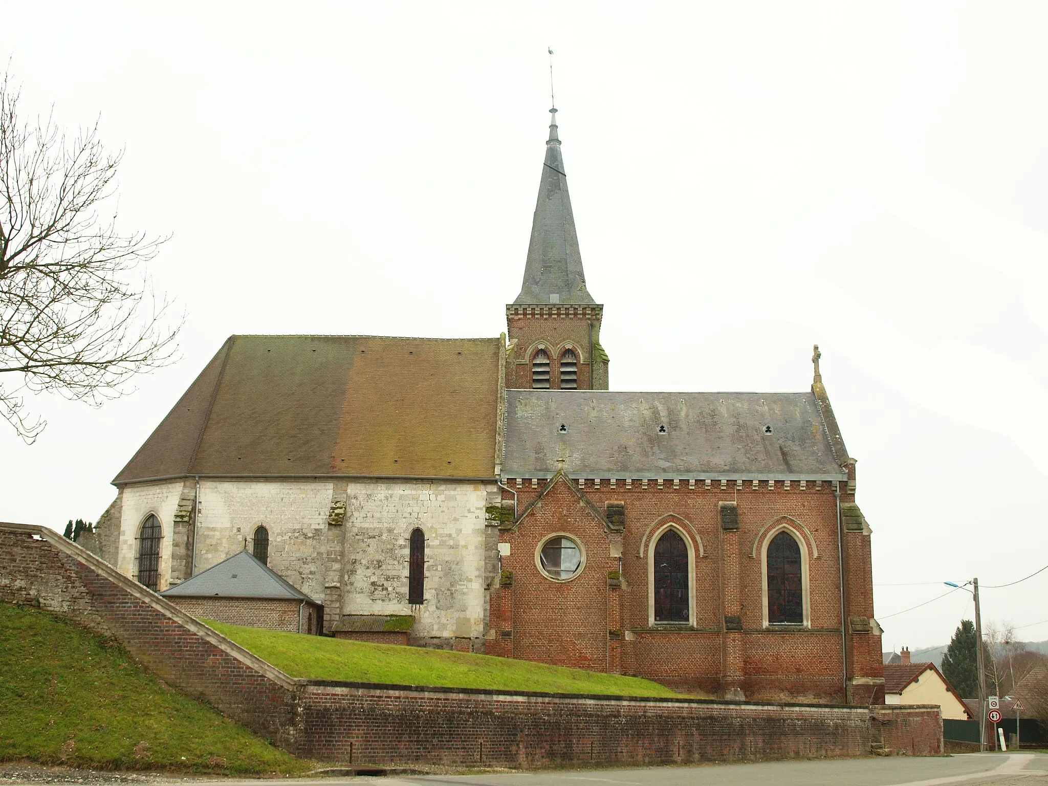
Le Mesnil-ContevilleVillageLe Mesnil-Conteville is the highlight of this route, featuring a captivating medieval castle and breathtaking panoramic views.
71 km
71 km
Le Mont Huet180 mPeakAt Le Mont Huet, you'll witness impressive archaeological remains and interesting historical artifacts.
78 km
78 km
GaudechartVillageGaudechart boasts a charming old stone bridge and a scenic river that adds to its allure.
86 km
86 km
BrombosVillageThe village of Brombos is an excellent spot to stop and explore its ancient church and winding countryside trails.
89 km
89 km
Finish: Feuquières Village centerFeuquières: Tranquil rides through timeless landscapes
Cycling routes nearby: