Tranquil rides and stunning climbs in the peaceful Haute-Normandie region.
Cycling routes from Gasny
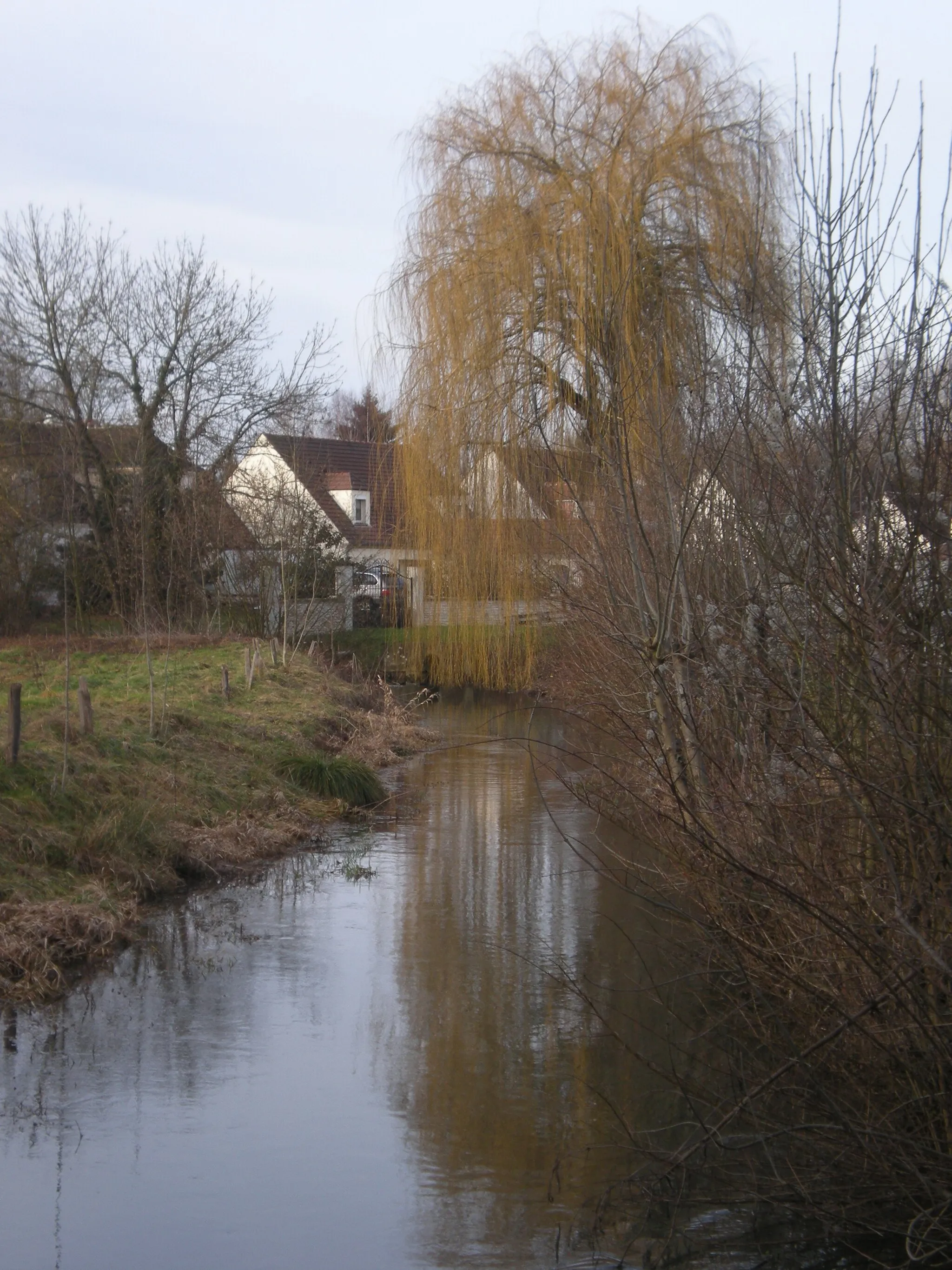
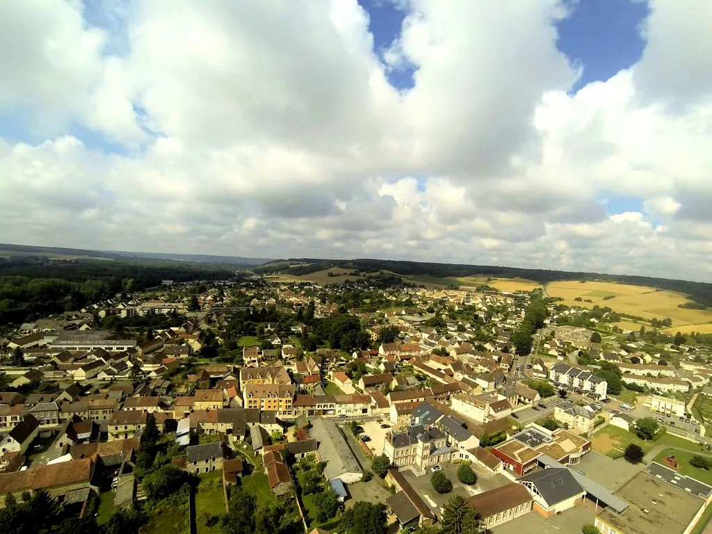
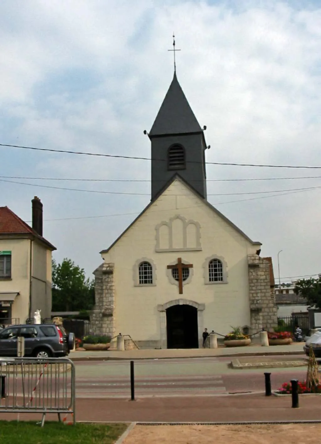
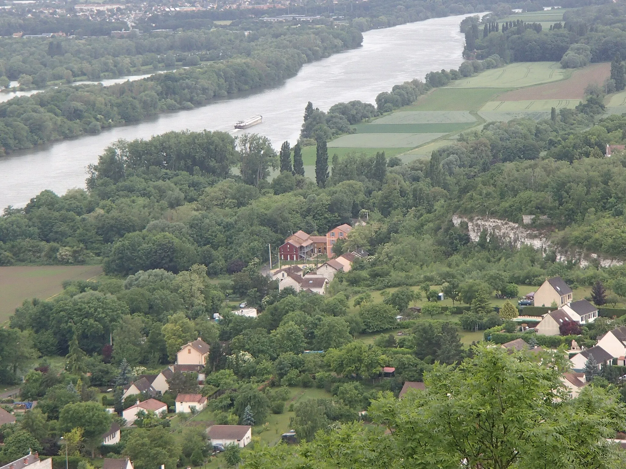
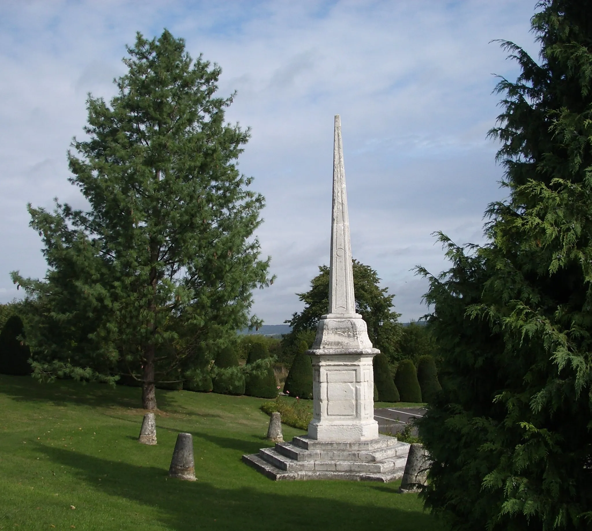
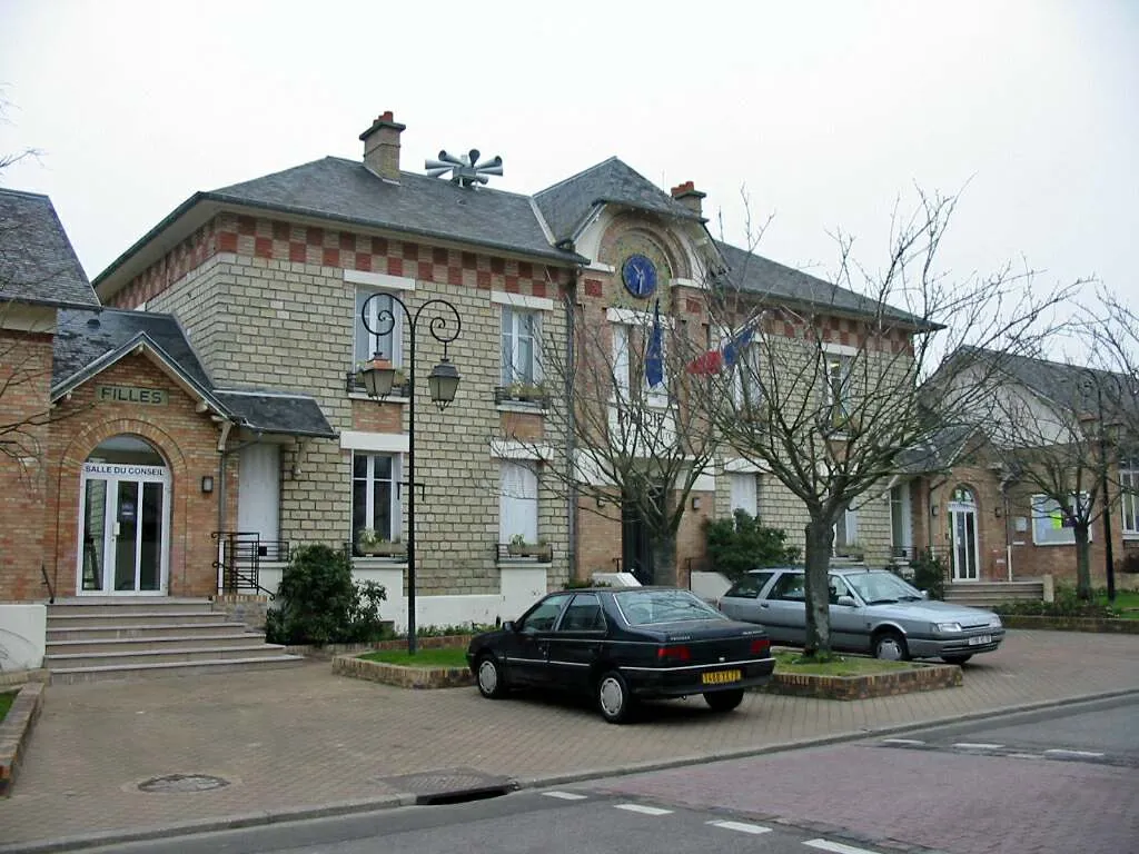
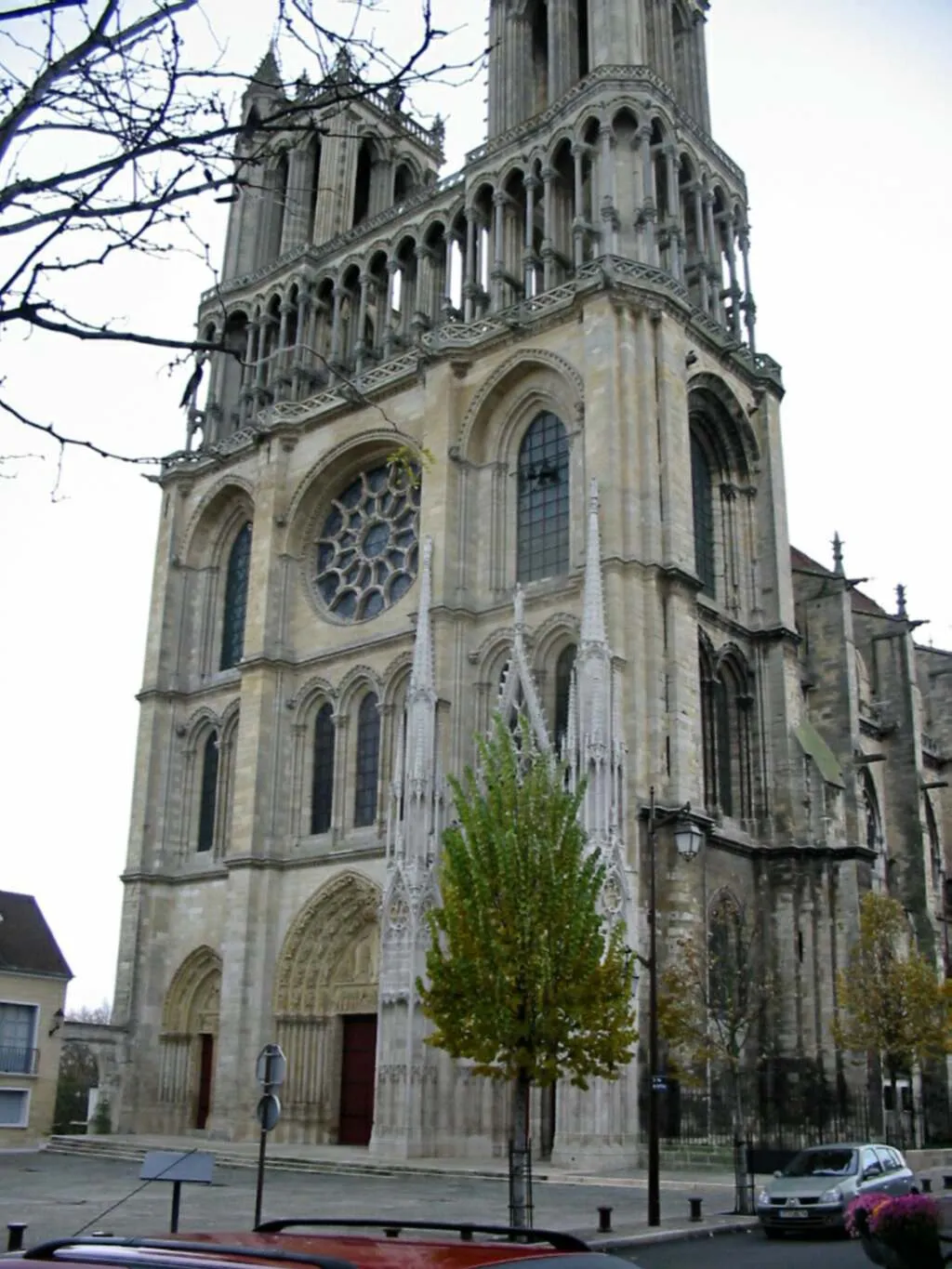
Gasny is a small locality located in the Haute-Normandie region of France. With its charming rural landscapes and quiet roads, Gasny is ideal for road and gravel cyclists. The area offers a mix of flat, rolling, and hilly terrain, providing options for both leisurely rides and more challenging routes. Nearby, cyclists can explore the famous climb of Côte du Rouge Gorge, known for its steep gradients and picturesque views. Gasny is a peaceful and scenic destination, making it a great choice for cyclists seeking a tranquil and enjoyable riding experience.
La Boucle de la Seine
Explore the scenic beauty of the Seine Valley on this road cycling route
La Boucle de la Seine is a scenic road cycling route that takes you along the picturesque Seine River. With a total ascent of 756 meters and a distance of 94 kilometers, this route is suitable for experienced cyclists. Starting near Gasny, this route passes through the charming towns of Bonnières-sur-Seine, Aigleville, Caillouet-Orgeville, Dardez, Courcelles-sur-Seine, Panilleuse, and La Chapelle Saint-Ouen.
Conquer the challenging road route from Gasny to Haute-Isle
This challenging 72km road route takes you through breathtaking scenery and offers picturesque views. With a total ascent of 703m, it is recommended for experienced cyclists. Highlights along the way include Bray-et-Lû, Le Bellay-en-Vexin, Brueil-en-Vexin, and Haute-Isle.
Experience the scenic road route from Gasny to La Roche-Guyon
This 47km road route takes you through charming villages and highlights historical sites. With a total ascent of 603m, it is suitable for moderately trained cyclists. Highlights along the way include Gasny, Arthies, Fontenay-Saint-Père, Vétheuil, and La Roche-Guyon.
Discover the scenic route from Gasny to Giverny
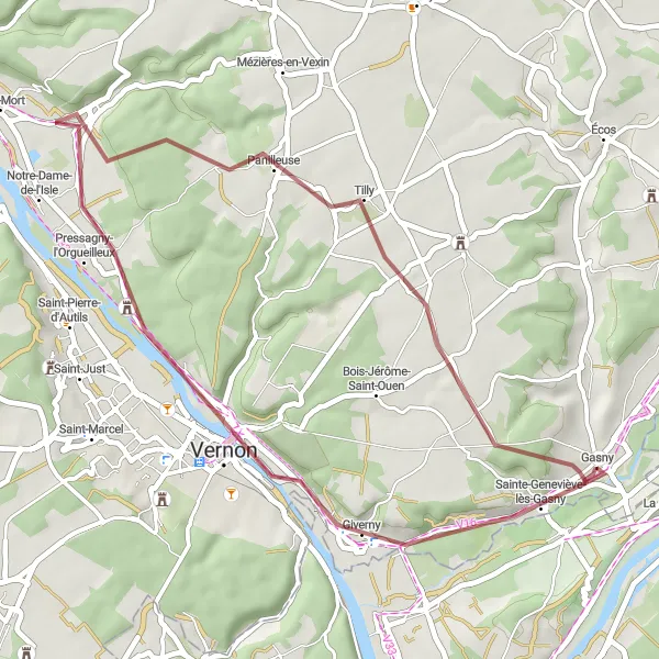
This 38km gravel route takes you through beautiful landscapes and historical sites. With a total ascent of 300m, it is suitable for moderately trained amateur cyclists. Highlights along the way include Gasny, Giverny, Petit Banc, Pressagny-l'Orgueilleux, and Panilleuse.
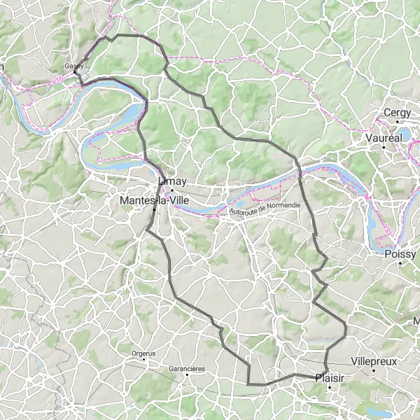
Discover hidden castles and picturesque villages on this road cycling route
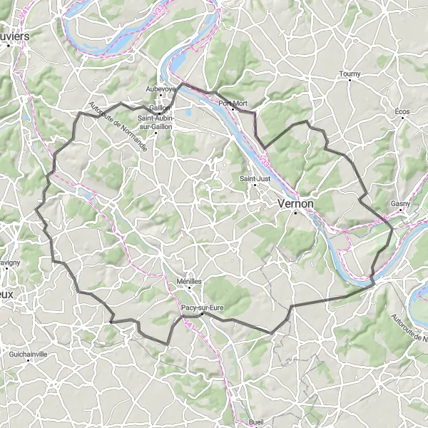
La Boucle des Châteaux is a scenic road cycling route that takes you through the beautiful countryside of Haute-Normandie. With a total ascent of 950 meters and a distance of 113 kilometers, this route is suitable for experienced cyclists. Starting near Gasny, this route passes through the charming towns of Aincourt, Meulan-en-Yvelines, Les Alluets-le-Roi, Plaisir, Autouillet, Mantes-la-Ville, and La Roche-Guyon.
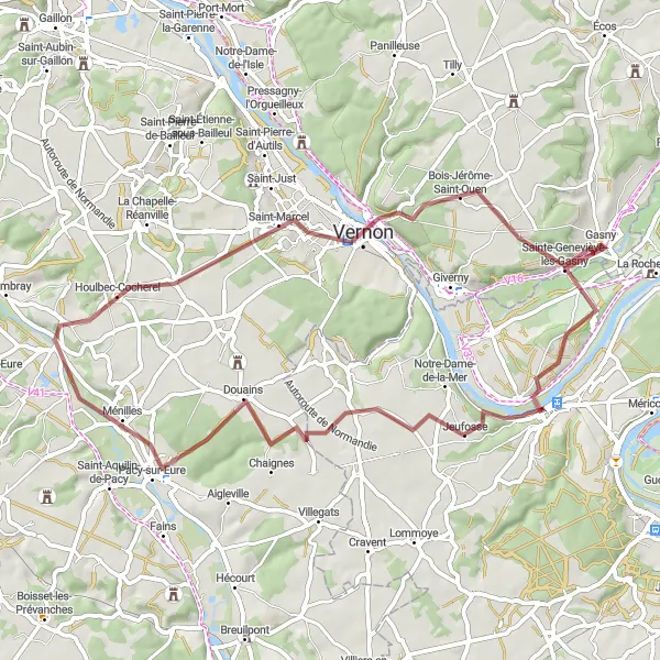
Discover the scenic beauty of the Seine and Eure rivers on this gravel cycling route
La Boucle des Rivières is a thrilling gravel cycling route that takes you along the scenic Seine and Eure rivers. With a total ascent of 582 meters and a distance of 59 kilometers, this route is suitable for intermediate gravel cyclists. Starting near Gasny, this route passes through the charming towns of Bonnières-sur-Seine, Douains, Croisy-sur-Eure, Vernon, Petit Banc, and Gasny.
Gasny to Fourges Gravel Route
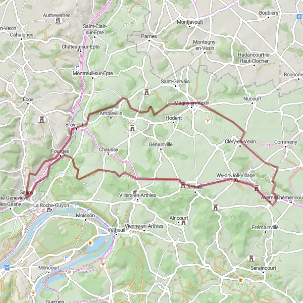
Explore the scenic countryside from Gasny to Fourges
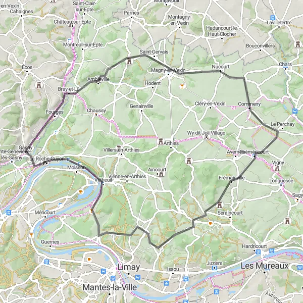
This 61km gravel route takes you through charming villages and picturesque landscapes. With a total ascent of 501m, the route offers a moderate challenge for well-trained amateur cyclists. Highlights along the way include Gasny, Maudétour-en-Vexin, Avernes, Cléry-en-Vexin, Magny-en-Vexin, and Fourges.
Gasny to Vernon Gravel Route
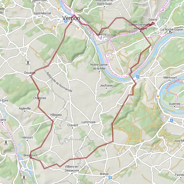
Cycle through the picturesque landscapes from Gasny to Vernon
This 59km gravel route takes you through breathtaking countryside and charming villages. With a total ascent of 720m, it is recommended for experienced gravel cyclists. Highlights along the way include Sainte-Geneviève-lès-Gasny, Bennecourt, Saint-Illiers-la-Ville, Breuilpont, Vernon, and Petit Banc.
La Boucle des Boucles
A gravel cycling route through the scenic landscapes of the Vexin Regional Natural Park
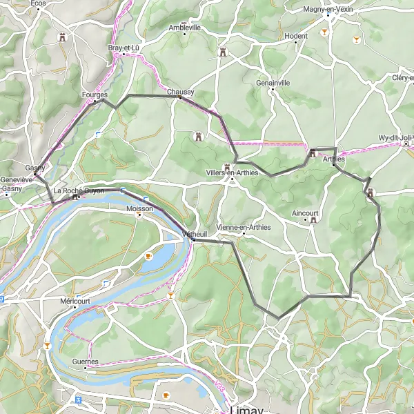
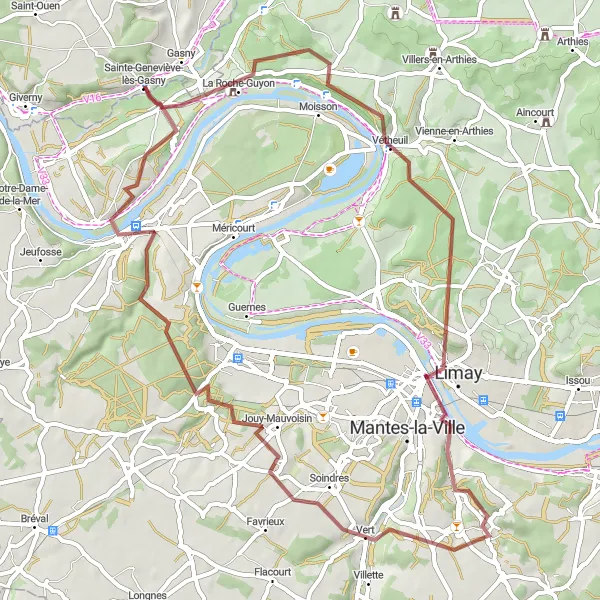
La Boucle des Boucles is a thrilling gravel cycling route that takes you through the scenic landscapes of the Vexin Regional Natural Park. With a total ascent of 830 meters and a distance of 59 kilometers, this route is suitable for experienced gravel cyclists. Starting near Gasny, this route passes through the charming towns of Vétheuil, Limay, Fontenay-Mauvoisin, and Bennecourt.
A scenic road cycling route through the Vexin Natural Park
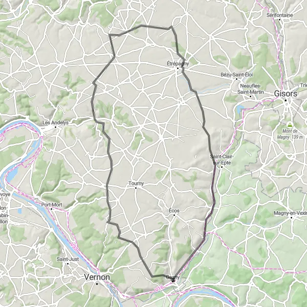
La Boucle du Vexin is a picturesque road cycling route that takes you through the beautiful landscapes of the Vexin Natural Park. With a total ascent of 511 meters and a distance of 77 kilometers, this route is suitable for moderately experienced cyclists. The route starts near Gasny and passes through the charming towns of Mézières-en-Vexin, Saussay-la-Campagne, Chauvincourt-Provemont, Château-sur-Epte, and Fourges.
Cycling routes nearby:
Nearby regions: