Gasny to Fourges Gravel Route
A gravel cycling route starting from Gasny
Explore the scenic countryside from Gasny to Fourges
Map
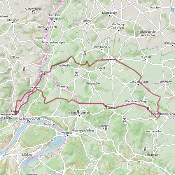
This 61km gravel route takes you through charming villages and picturesque landscapes. With a total ascent of 501m, the route offers a moderate challenge for well-trained amateur cyclists. Highlights along the way include Gasny, Maudétour-en-Vexin, Avernes, Cléry-en-Vexin, Magny-en-Vexin, and Fourges.
gravel
61 km
501 m
Tough
Route profile
Highlights on the route
0 km
0 km
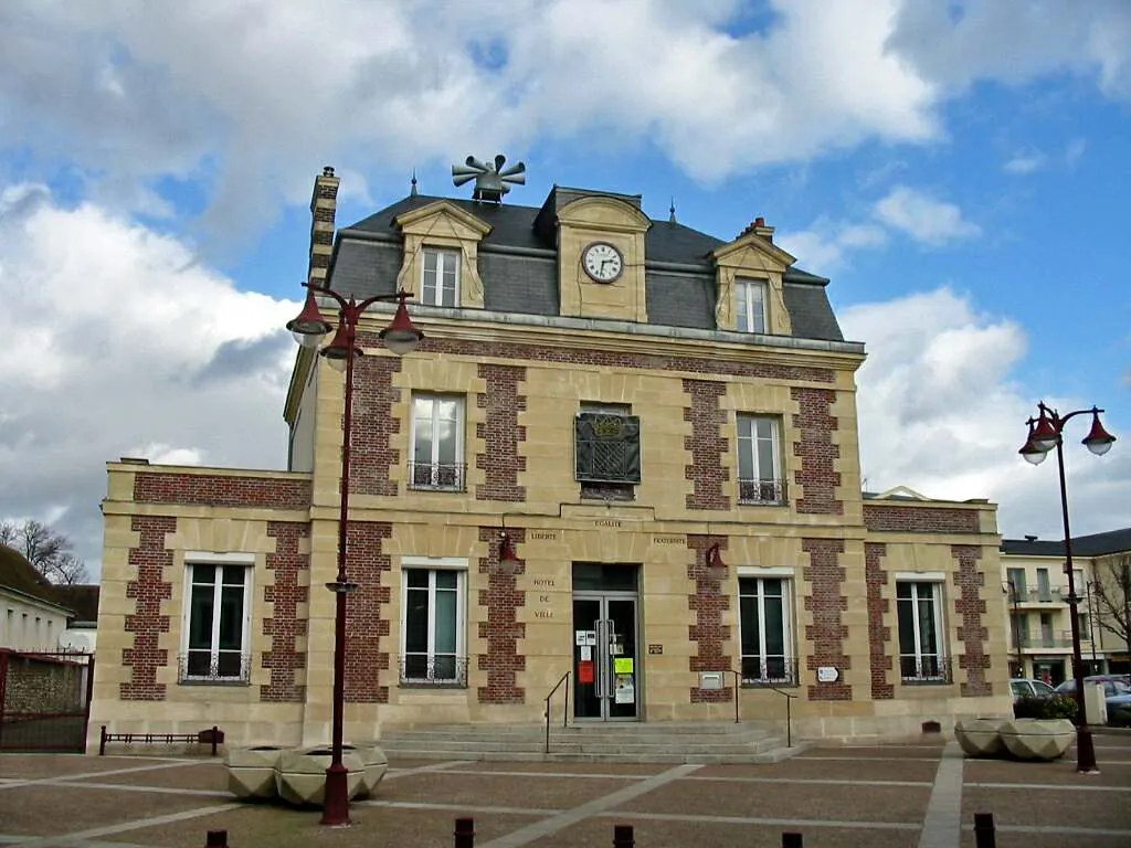
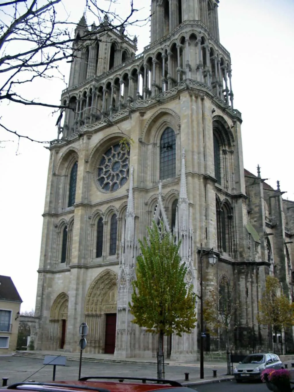
Start: Gasny Village centerGasny: Tranquil rides and stunning climbs in the peaceful Haute-Normandie region.
Gasny is a small locality located in the Haute-Normandie region of France. With its charming rural landscapes and quiet roads, Gasny is ideal for road and gravel cyclists. The area offers a mix of flat, rolling, and hilly terrain, providing options for both leisurely rides and more challenging routes. Nearby, cyclists can explore the famous climb of Côte du Rouge Gorge, known for its steep gradients and picturesque views. Gasny is a peaceful and scenic destination, making it a great choice for cyclists seeking a tranquil and enjoyable riding experience.0 km
0 km
GasnyVillageGasny is the starting point of the route, offering a beautiful small town atmosphere with its traditional buildings and calm surroundings.
17 km
17 km
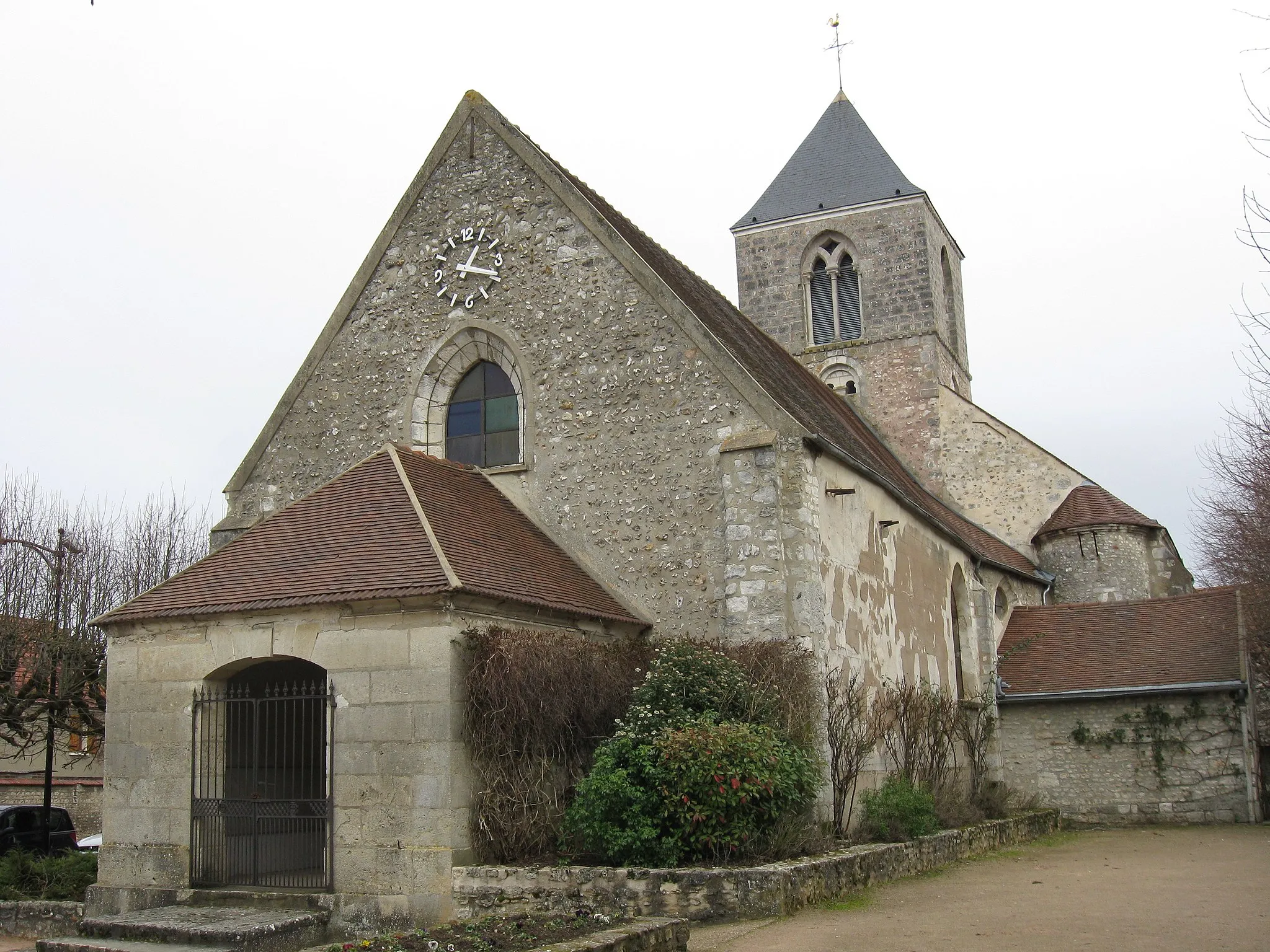
Maudétour-en-VexinVillageMaudétour-en-Vexin is a quaint village that showcases the beauty of the French countryside.
25 km
25 km
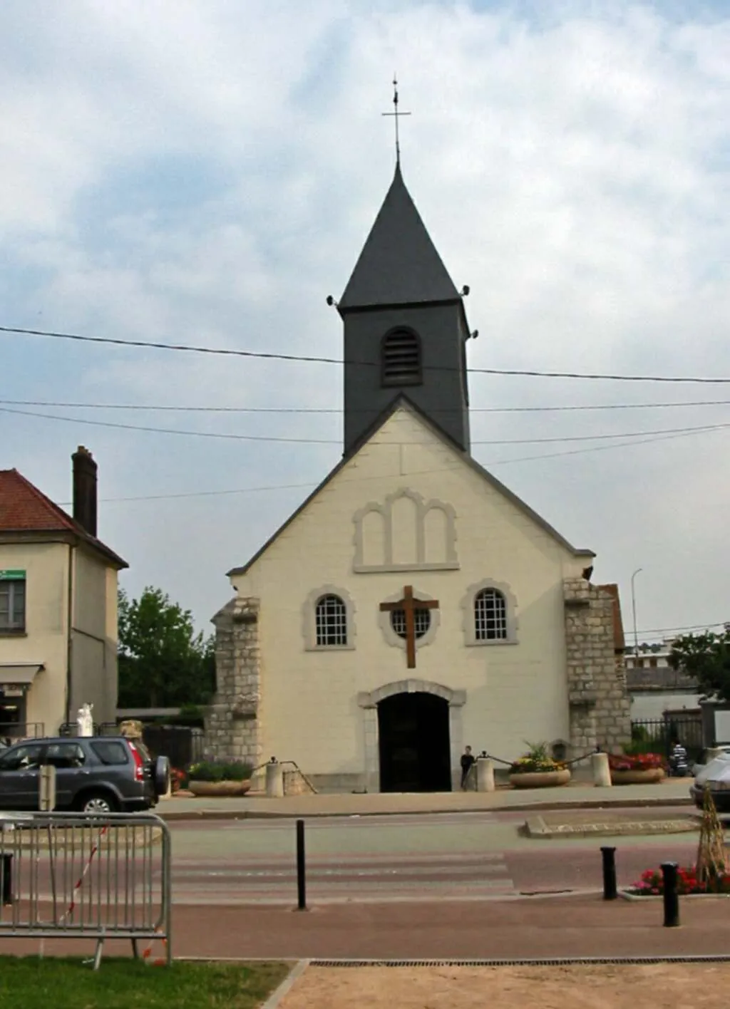
AvernesVillageAvernes is known for its stunning views and peaceful ambiance, making it a great spot to stop and relax.
34 km
34 km
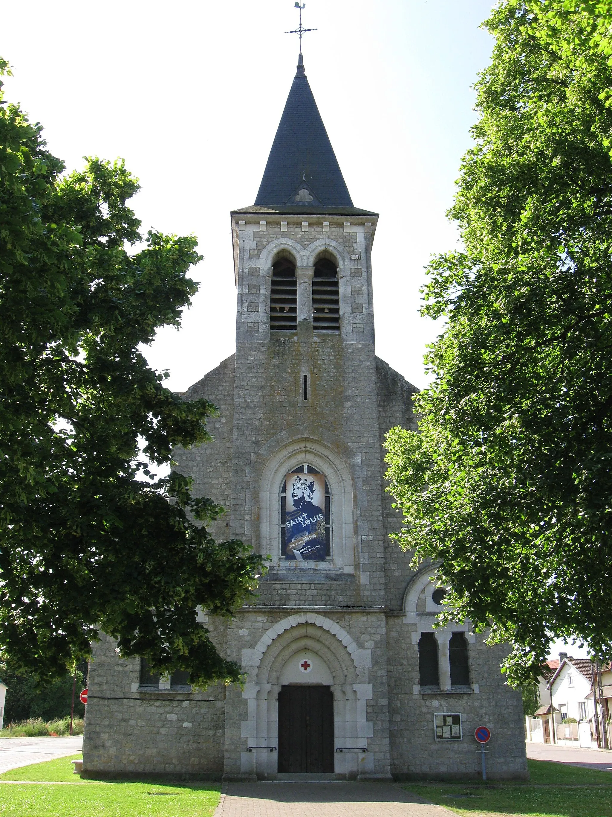
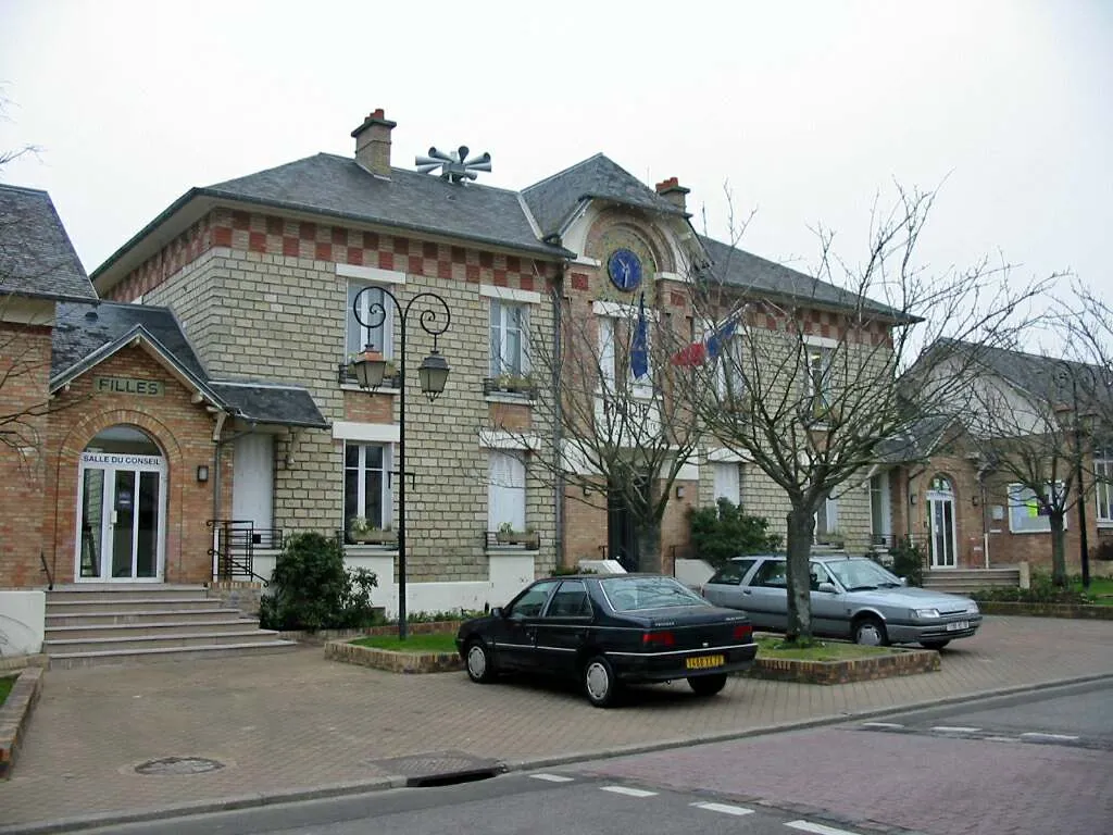
Cléry-en-VexinVillageCléry-en-Vexin is a charming village with historical landmarks, such as the Church of Saint-Caprais.
40 km
40 km
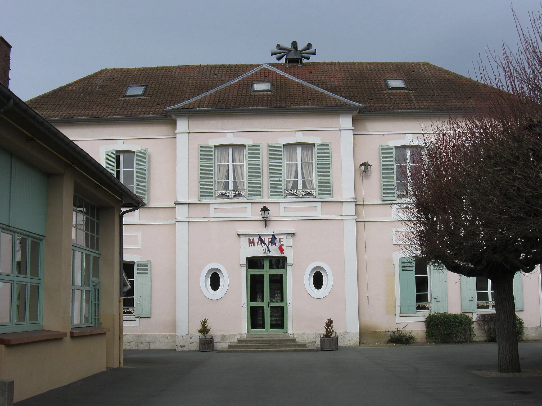
Magny-en-VexinVillageMagny-en-Vexin is a picturesque town with beautiful architecture and narrow streets, perfect for a leisurely stroll.
55 km
55 km
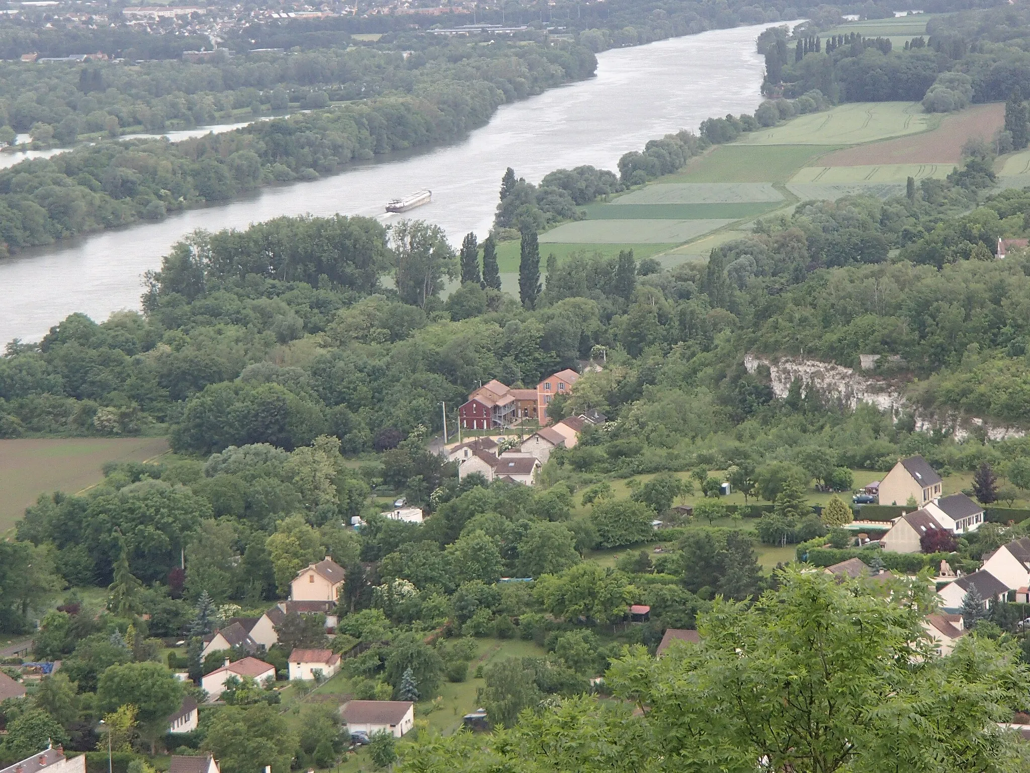
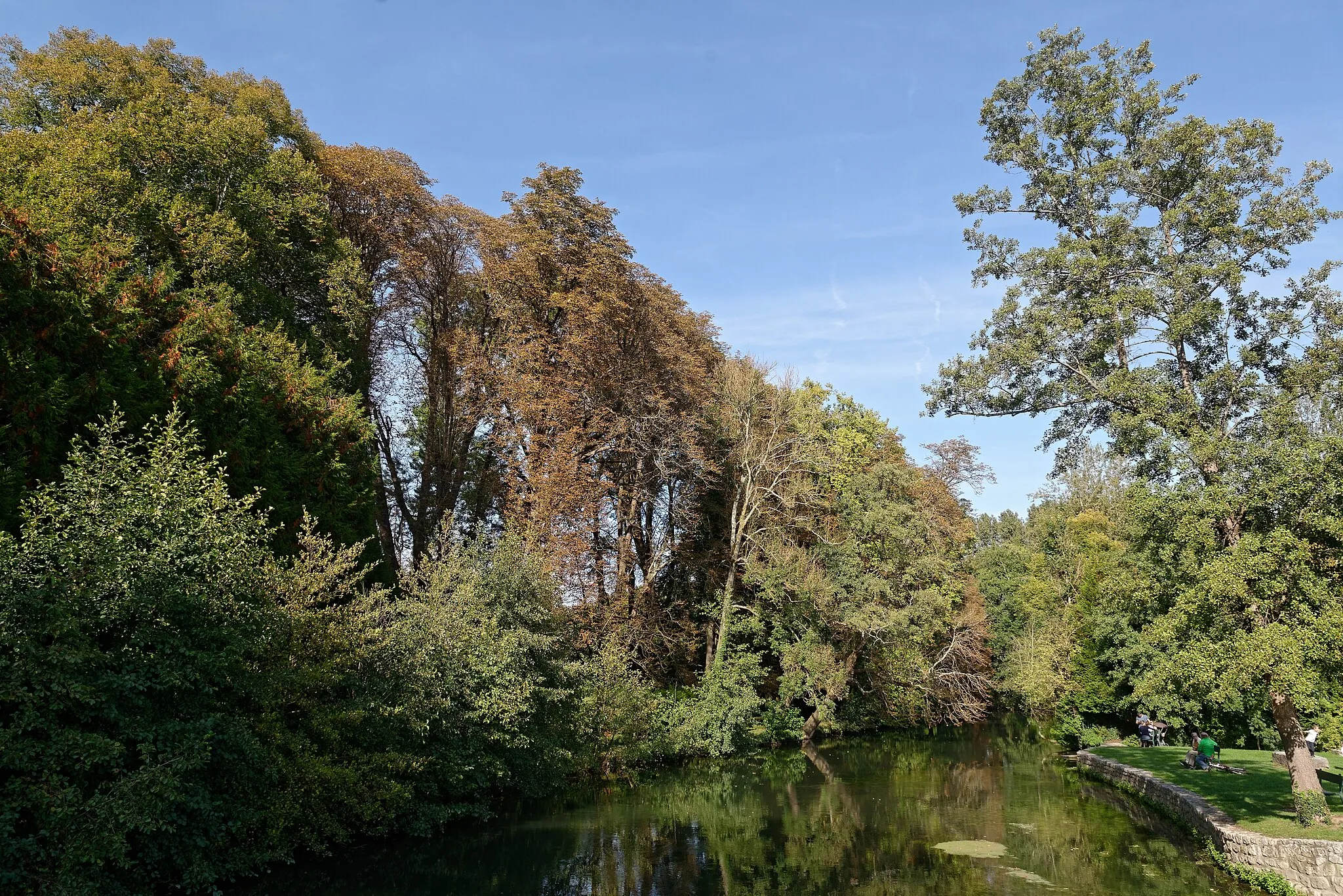
FourgesVillageFourges is the endpoint of the route and is famous for its quaint cottages and the River Epte, perfect for a refreshing stop after a long ride.
61 km
61 km
Finish: Gasny Village centerGasny: Tranquil rides and stunning climbs in the peaceful Haute-Normandie region.
Cycling routes nearby: