Explore urban and rural cycling in Le Grand-Quevilly.
Cycling routes from Le Grand-Quevilly
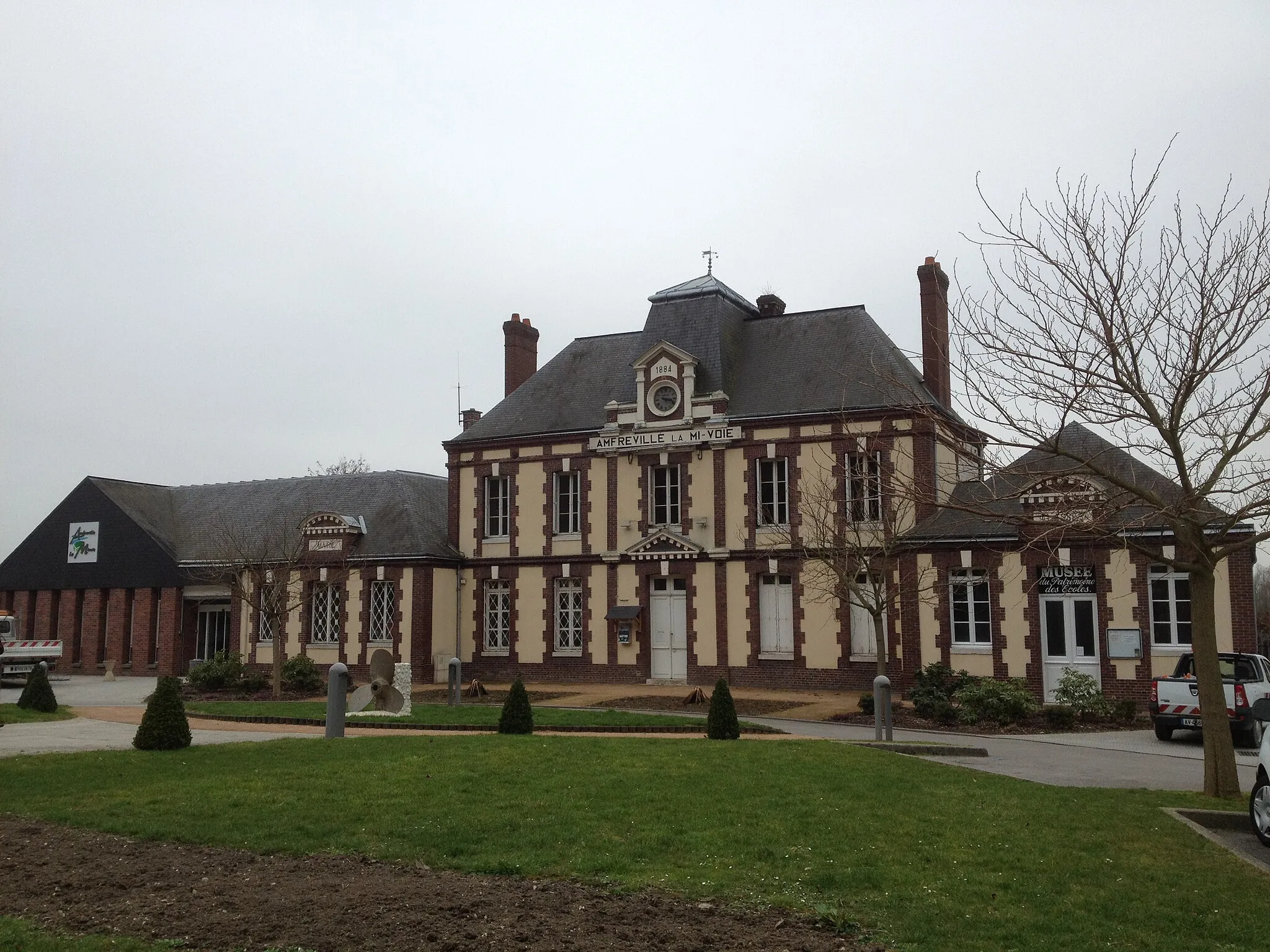
Le Grand-Quevilly, situated in the Haute-Normandie region of France, offers a mix of urban and rural cycling experiences. Cyclists can explore the city's charming streets and then venture out to nearby countryside roads for a more serene ride. The locality provides various cycling routes suitable for both road and gravel cyclists. While there are no major well-known climbs in the immediate vicinity, Le Grand-Quevilly serves as a great base for exploring the beautiful surrounding regions on two wheels. With cycling-friendly infrastructure and pleasant scenery, Le Grand-Quevilly is a cyclist's delight.
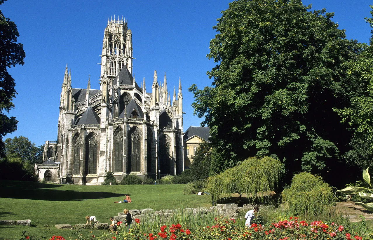
Embark on a thrilling gravel ride through the iconic city of Rouen.
Experience the excitement of cycling through the historic city of Rouen on this thrilling gravel ride. With an ascent of 781 meters and a total distance of 102 kilometers, this route is best suited for experienced gravel cyclists. Along the way, you'll discover charming towns, picturesque landscapes, and iconic landmarks.
Explore the vibrant city of Rouen and experience breathtaking panoramas on this road cycling route near Le Grand-Quevilly.
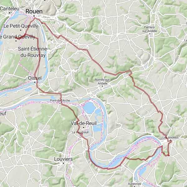
Embark on a picturesque journey from Le Grand-Quevilly to Rouen, where you can immerse yourself in the rich history and culture of the city. As you cycle through the charming countryside, enjoy stunning panoramic views of Rouen and its surroundings. Feel the excitement build up as you conquer challenging elevations and ascend to the mesmerizing Table d'orientation de la cote des deux amants. Take a well-deserved break in picturesque towns like Franqueville-Saint-Pierre, Pîtres, and Louviers, each offering unique attractions and delightful scenery. End your adventure in Les Essarts, where you can relax and reflect on the thrilling road trip you've just completed.
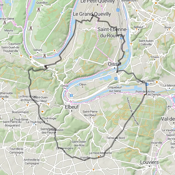
The Grand-Couronne Gravel Ride
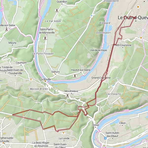
Cycle through the picturesque town of Grand-Couronne in this scenic gravel route.
Experience the beauty of Haute-Normandie as you embark on this gravel cycling route starting near Le Grand-Quevilly. This 44-kilometer ride offers stunning countryside views and brings you through the charming town of Grand-Couronne. With an ascent of 539 meters, this route is suited for intermediate cyclists looking for a moderate challenge.
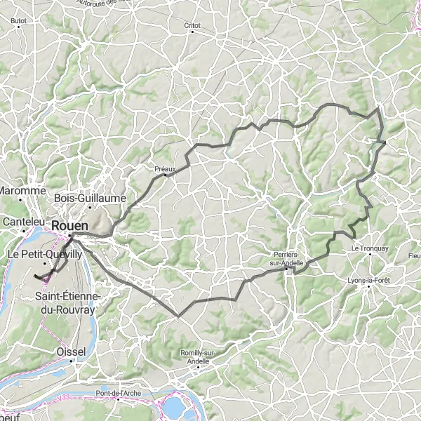
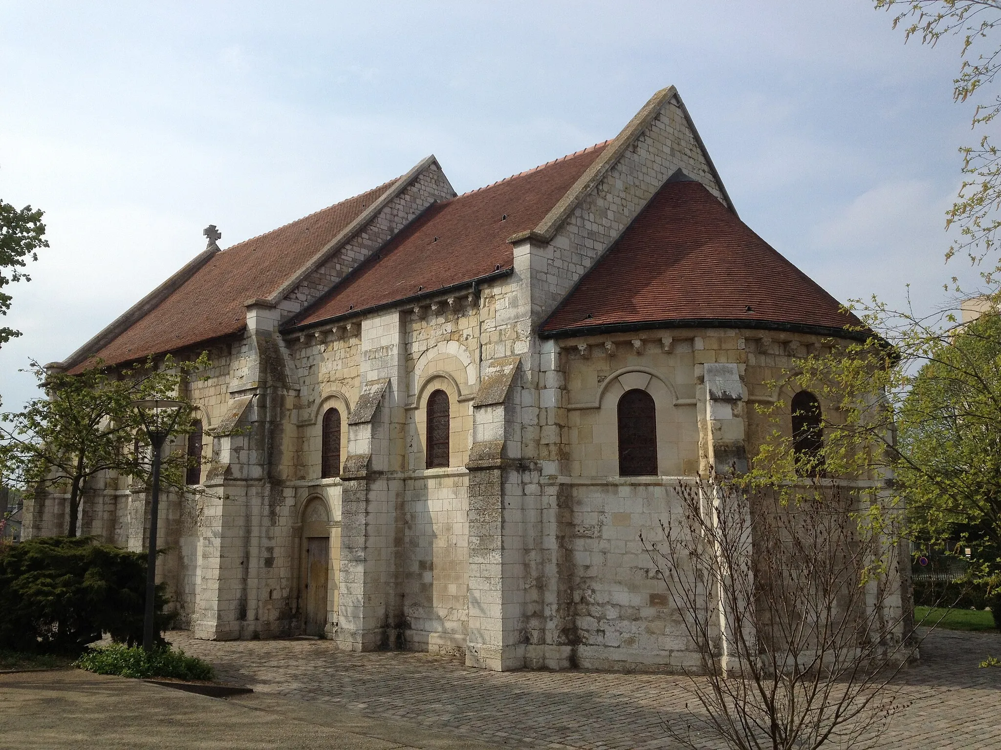
Romilly-sur-Andelle Loop

Explore Romilly-sur-Andelle and its surrounding beauty on this scenic cycling route.
Embark on a stunning cycling adventure through Haute-Normandie, cycling through the charming town of Romilly-sur-Andelle. This route offers beautiful landscapes and a moderate level of difficulty, making it suitable for well-trained amateurs. With an ascent of 511 meters and a total distance of 81 kilometers, cyclists can expect a challenging yet rewarding ride.
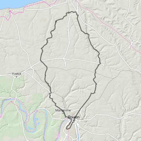
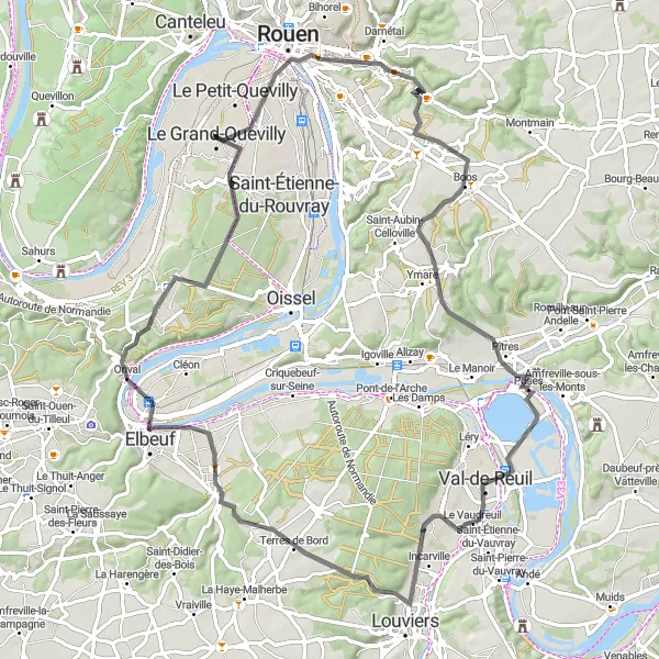
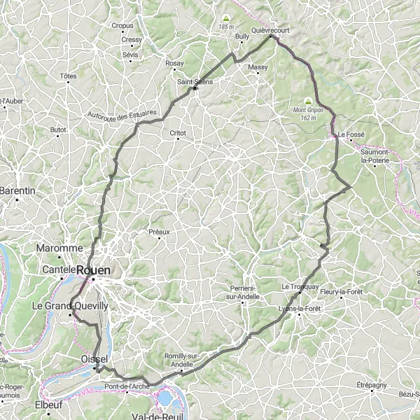
Embark on an epic journey with this challenging loop from Le Grand-Quevilly to Mont-Saint-Aignan.
This 140-kilometer cycling route offers a thrilling challenge with a total ascent of 1,063 meters. Experience the rugged terrain, climb steep hills, and conquer the legendary Panorama de Mont-Saint-Aignan. Along the way, enjoy highlights such as the panoramic views from Panorama de Mont-Saint-Aignan, the charming town of Pavilly, and the picturesque village of Auzouville-sur-Saâne. With a difficulty level of 4 out of 5 and an epicness rating of 4, this route is perfect for experienced cyclists seeking a thrilling adventure. Immerse yourself in the stunning landscapes and reward yourself with unforgettable moments.
The Rouen Road Adventure
Embark on a 102-kilometer road cycling journey to Rouen and discover the wonders of Morgny-la-Pommeraye along the way.
Get ready for an epic road cycling adventure starting near Le Grand-Quevilly. This 102-kilometer route features an ascent of 844 meters and takes you to the vibrant city of Rouen. Along the way, you'll pass through Morgny-la-Pommeraye, known for its charming landscapes. Suitable for experienced cyclists, this route offers a mix of challenging climbs and scenic descents.
The Panoramic Gravel Route
Experience breathtaking panoramic views as you cycle along this 44-kilometer gravel route near Le Grand-Quevilly.
Enjoy a scenic ride starting near Le Grand-Quevilly with this 44-kilometer gravel route. Marvel at the panoramic views as you cycle across picturesque landscapes. With an ascent of 390 meters, this route is suitable for intermediate cyclists looking for a moderate challenge. Don't miss the opportunity to explore the viewpoints along the way, offering stunning vistas of the surrounding area.
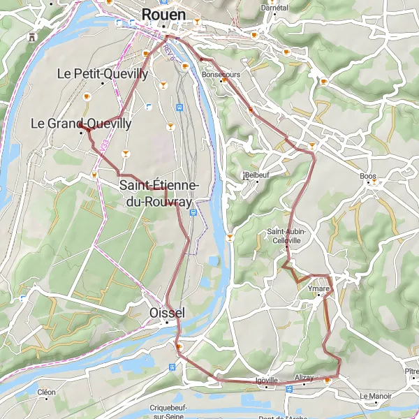
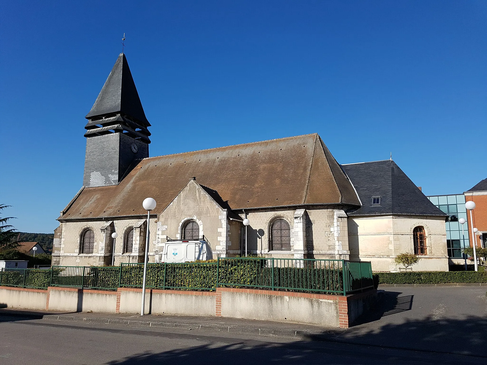
Oissel Loop
Discover the charming town of Oissel along this picturesque route.
Embark on a scenic journey through Haute-Normandie, cycling through the quaint town of Oissel. This route offers beautiful landscapes and a moderate level of difficulty, making it perfect for well-trained amateurs. With an ascent of 457 meters and a total distance of 70 kilometers, cyclists can expect a challenging but rewarding ride.

Embark on a gravel adventure through the picturesque landscapes of Haute-Normandie.
Explore the rugged beauty of Haute-Normandie on this gravel cycling route. With an ascent of 818 meters and a total distance of 86 kilometers, this route is recommended for experienced gravel cyclists. Along the way, you'll encounter stunning natural scenery and charming villages.
Cycle through scenic landscapes to Neufchâtel-en-Bray, known for its famous cheese.
This picturesque cycling route takes you through the beautiful landscapes of Haute-Normandie, ending in Neufchâtel-en-Bray. With a challenging ascent of 1215 meters and a total distance of 148 kilometers, this route is recommended for experienced cyclists. Along the way, you'll pass through charming towns and villages, each with its own unique highlights.
Cycling routes nearby:

Nearby regions: