Cycling paradise in the heart of Haute-Normandie.
Cycling routes from Le Thuit-Signol
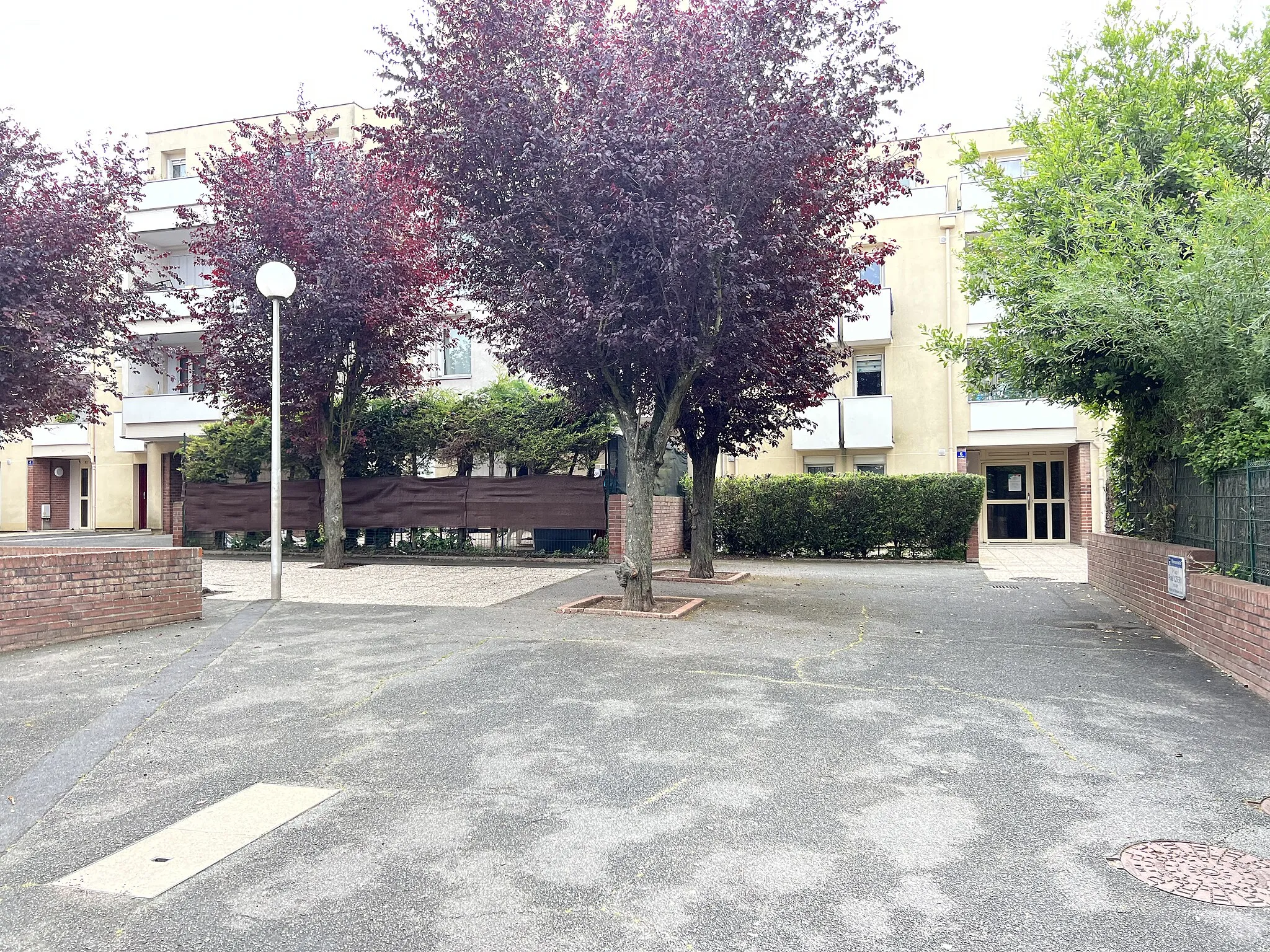
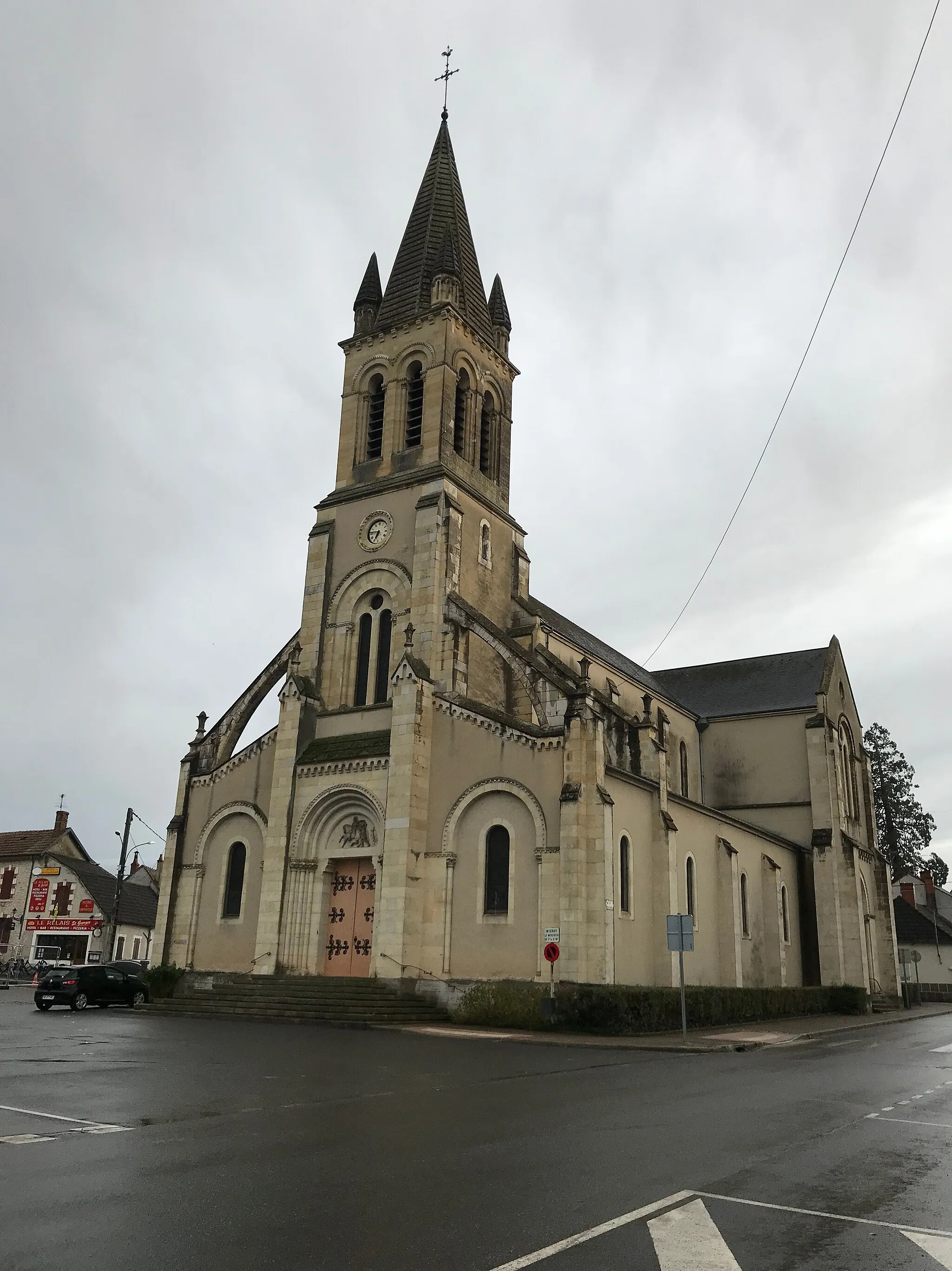
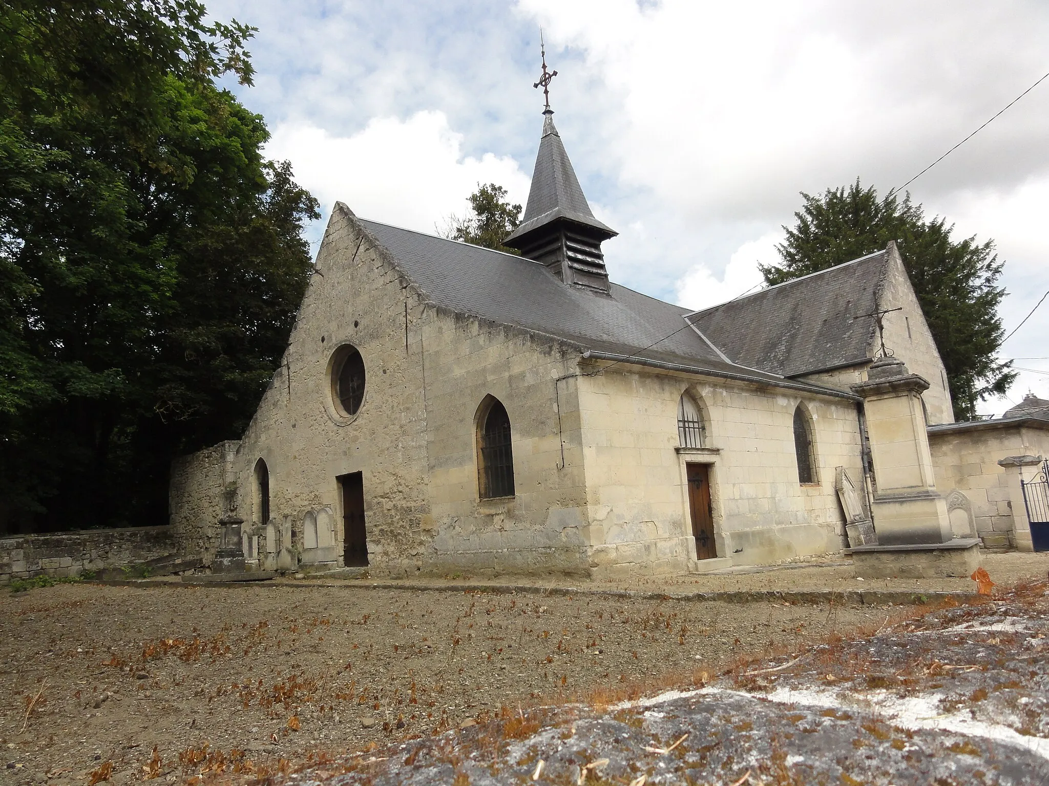
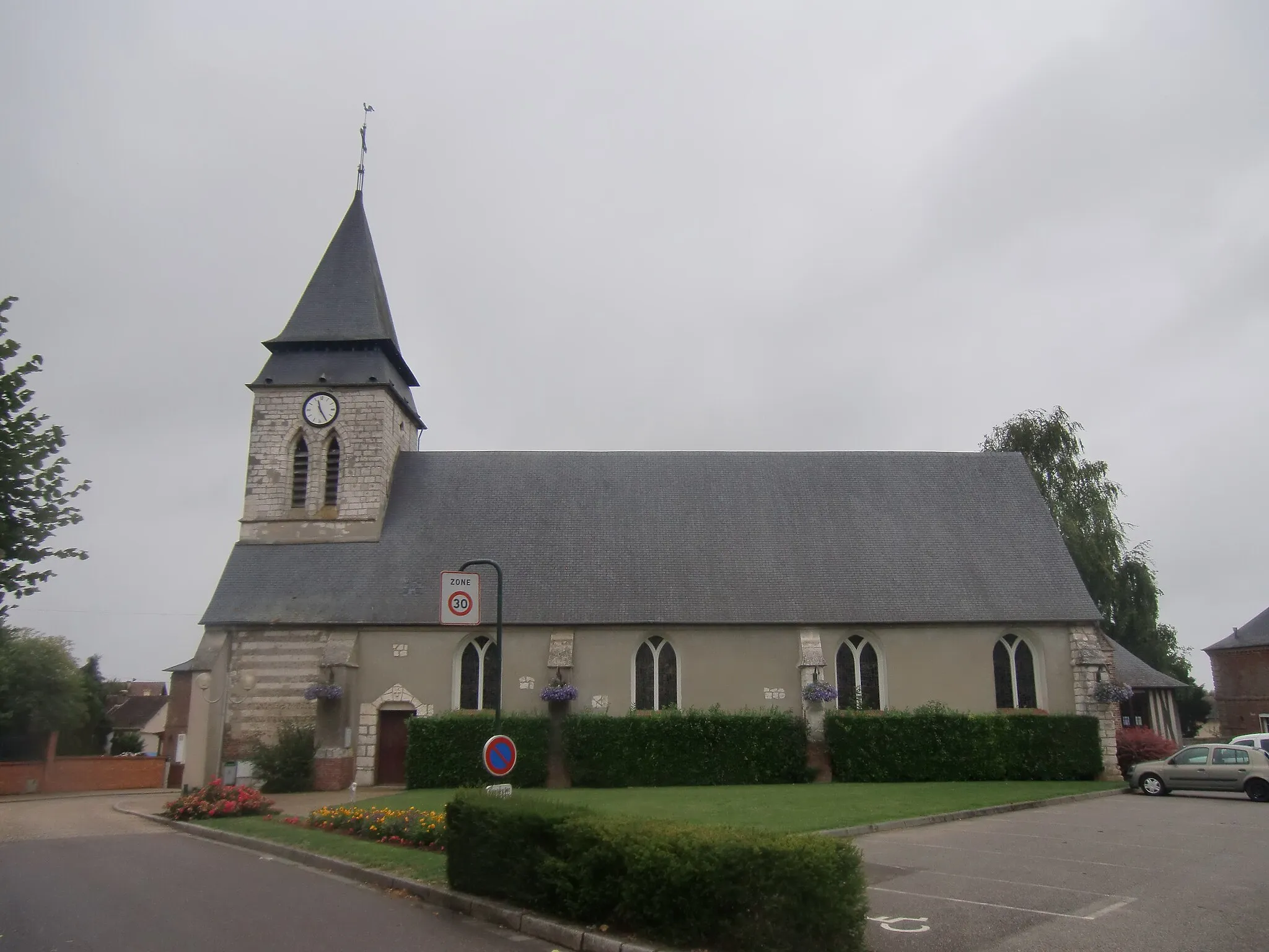
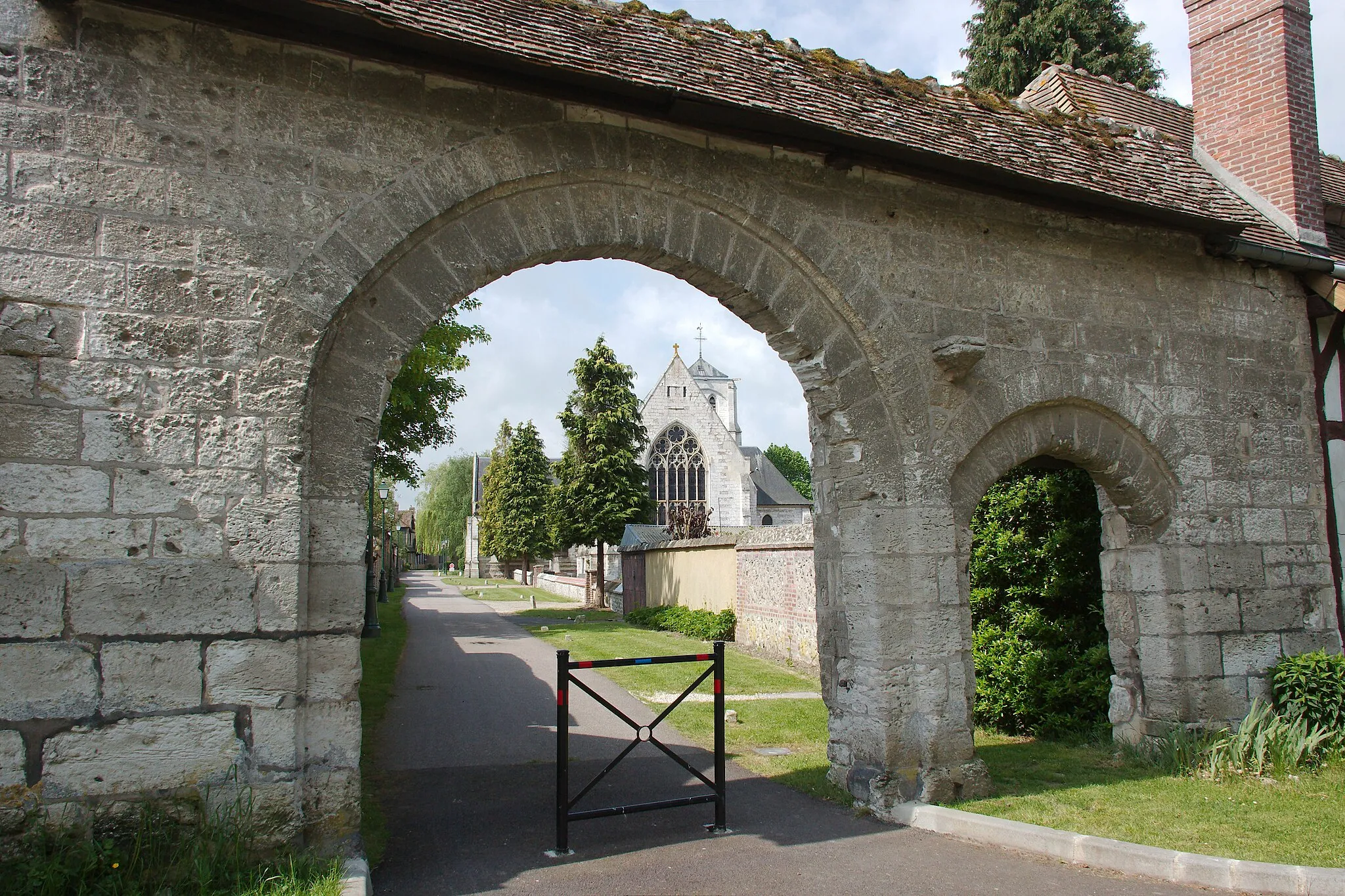
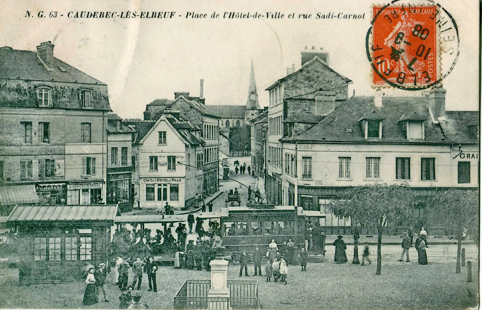
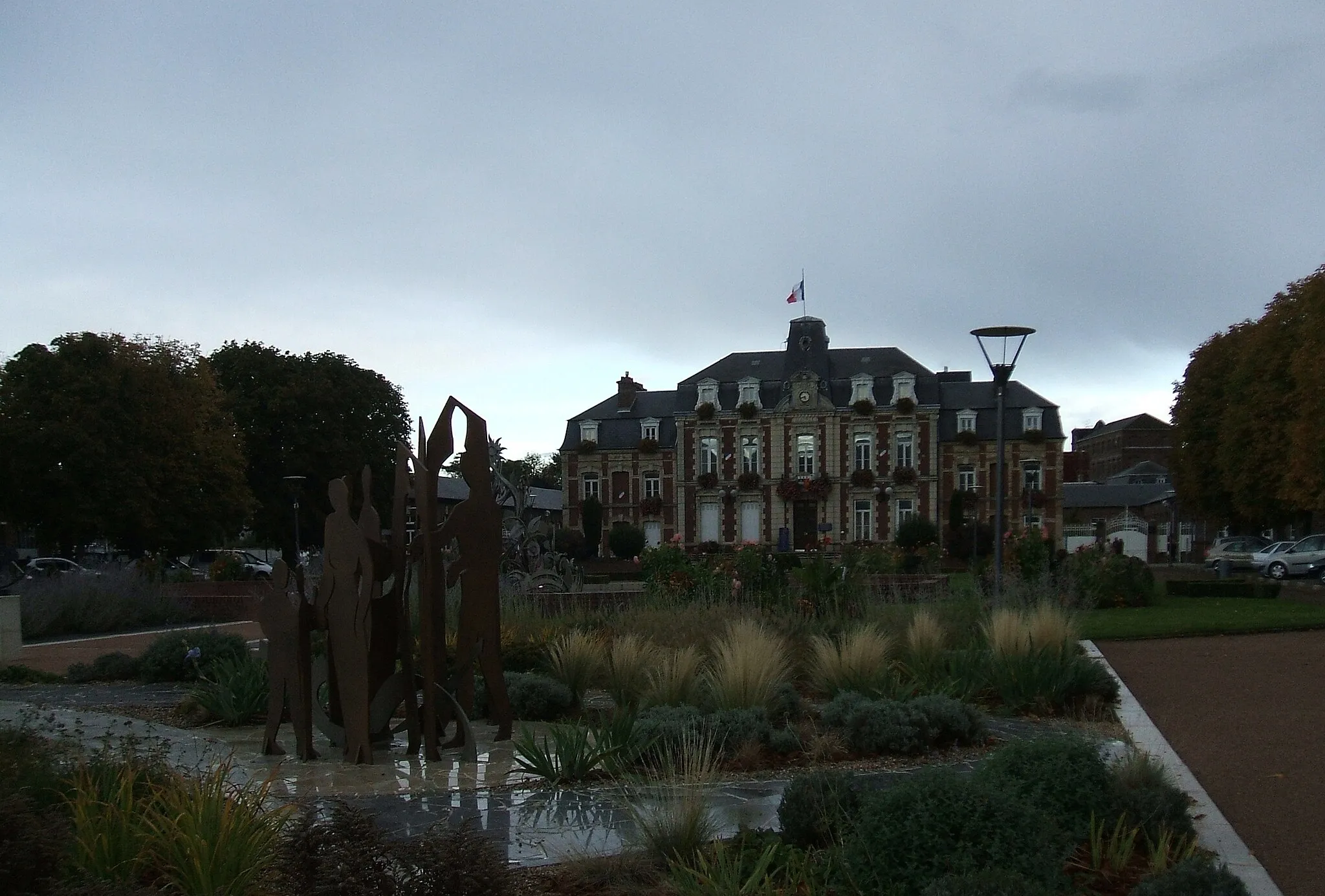
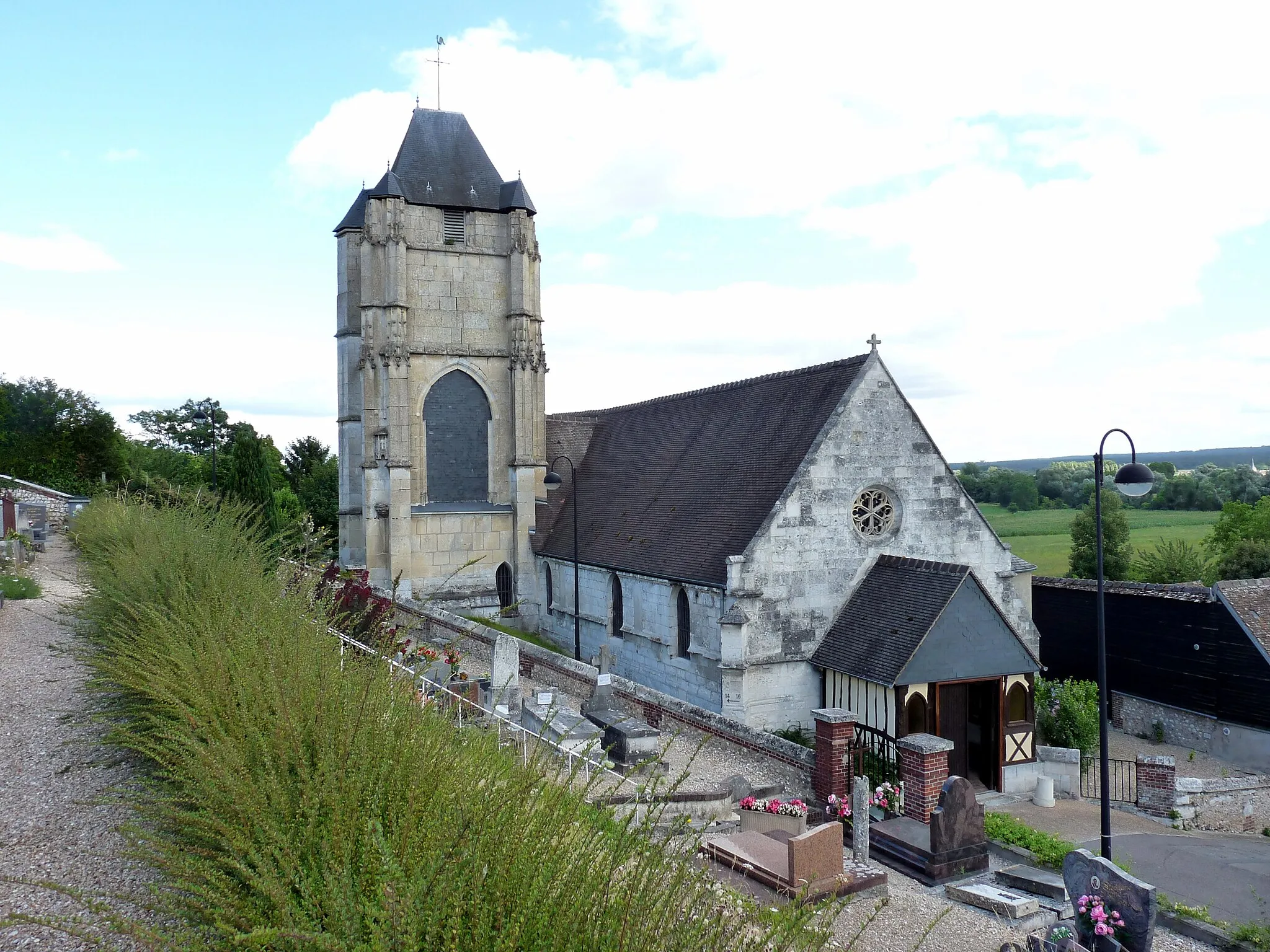
Le Thuit-Signol is a small locality located in Haute-Normandie, France. From a cyclist's perspective, it offers scenic rural roads surrounded by lush green fields and rolling hills. The area is perfect for road and gravel cyclists, with a variety of routes to choose from. While Le Thuit-Signol itself may not have any famous cycling spots, it is located near the popular tourist town of Rouen, which offers numerous cycling opportunities. With its picturesque countryside and proximity to other cycling destinations, Le Thuit-Signol is a great choice for cyclists wanting to explore the region.
The Epégard Loop
Discover the picturesque countryside surrounding Épégard on this road cycling route.
Enjoy a scenic ride through the beautiful countryside surrounding Épégard with this 81-kilometer road cycling loop. Starting near Le Thuit-Signol, this route features a total elevation gain of 477 meters, offering a moderate challenge for cyclists. Along the way, you will pass through charming villages, rolling hills, and lush green meadows. Highlights of this route include Belvédère, a picturesque viewpoint offering panoramic vistas of the surrounding countryside, and Écaquelon, a village known for its tranquil atmosphere and charming streets.
The Roumois Loop
Embark on a challenging road cycling adventure through the scenic Roumois region.
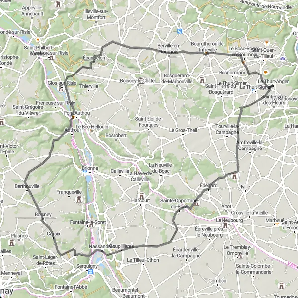
Experience the beauty and peacefulness of the Roumois region with this 66-kilometer road cycling route. Starting near Le Thuit-Signol, this route will take you through picturesque villages, rolling hills, and stunning landscapes. With an elevation gain of 331 meters, this route offers a moderate challenge for well-trained cyclists. Highlights along the way include La Haye-du-Theil, a village known for its beautiful architecture and charming streets, and the magnificent Château de Brumare, a historic castle dating back to the 14th century.
Embark on a hilly road adventure through charming French countryside.
Experience the thrill of a hilly road adventure on this 96 km route starting from Le Thuit-Signol. With a total ascent of 746 meters, this ride is perfect for those looking for a challenging but rewarding cycling experience. Begin your journey in the quaint village of Le Thuit-Anger and continue through a variety of landscapes, passing by charming towns like Oissel and Douville-sur-Andelle. Admire the picturesque views near Bernières-sur-Seine and Heudebouville, and witness the peaceful ambiance of La Harengère.
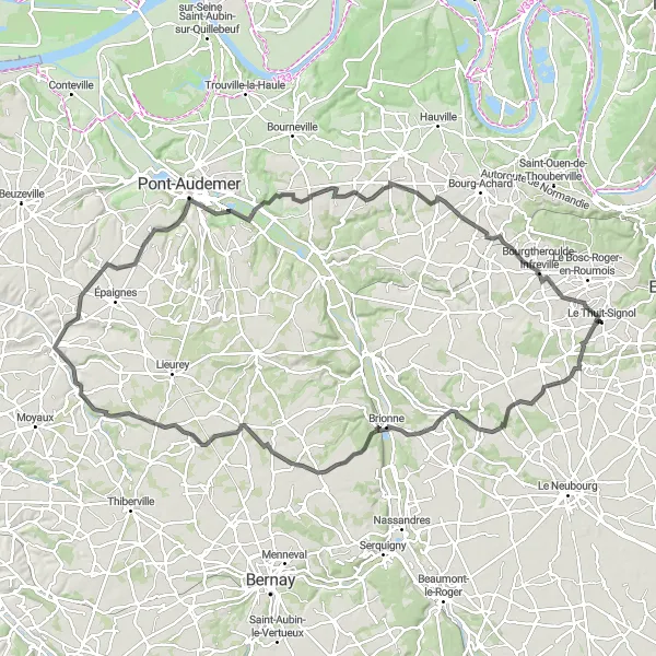
The Risle Valley Escape
Embark on a thrilling road cycling adventure through the picturesque Risle Valley.
Experience the breathtaking beauty of the Risle Valley with this 92-kilometer road cycling route. Starting near Le Thuit-Signol, this route will take you through charming villages, rolling hills, and alongside the scenic Risle River. With an elevation gain of 518 meters, this route offers a challenging and rewarding experience for well-trained cyclists. Highlights along the way include Goupillières, a charming village with traditional Norman architecture, Montfort-sur-Risle, a picturesque village known for its stunning location on the banks of the Risle River, and Le Thuit-Signol itself, where you can explore the local attractions and historical landmarks.
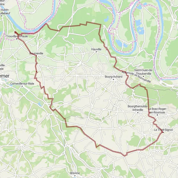
Escape the beaten path on this exhilarating gravel adventure near Le Thuit-Signol.
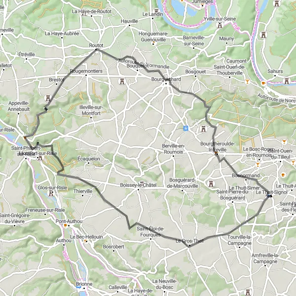
Get off the beaten path and explore the untamed beauty of Haute-Normandie on this 97 km gravel adventure near Le Thuit-Signol. With a total ascent of 865 meters, this route is recommended for experienced gravel cyclists seeking an adrenaline-packed journey. During your ride, be captivated by the idyllic countryside scenery, from the historic village of La Haye-du-Theil to the enchanting landscapes of Bosgouet, on the banks of the Eure River. Immerse yourself in the peaceful natural surroundings of Bonneville-Aptot and the charm of Aizier village. On your way, don't miss the beauty of Bosnormand, another showcase of traditional Norman architecture.
Enjoy a leisurely ride through idyllic countryside landscapes.
Take a leisurely 45 km ride through the idyllic countryside landscapes surrounding Le Thuit-Signol. With a total ascent of 191 meters and mostly flat terrain, this route is perfect for cyclists of all skill levels looking to immerse themselves in the beauty of Haute-Normandie. Discover the quiet charm of Ecquetot, with its cozy atmosphere and beautiful natural surroundings. Pass through the picturesque village of Vitot, known for its well-preserved half-timbered houses. Enjoy the peacefulness of La Pyle, set amidst rolling hills and scenic vistas. Conclude your ride in Saint-Amand-des-Hautes-Terres, a tranquil village nestled among lush greenery.
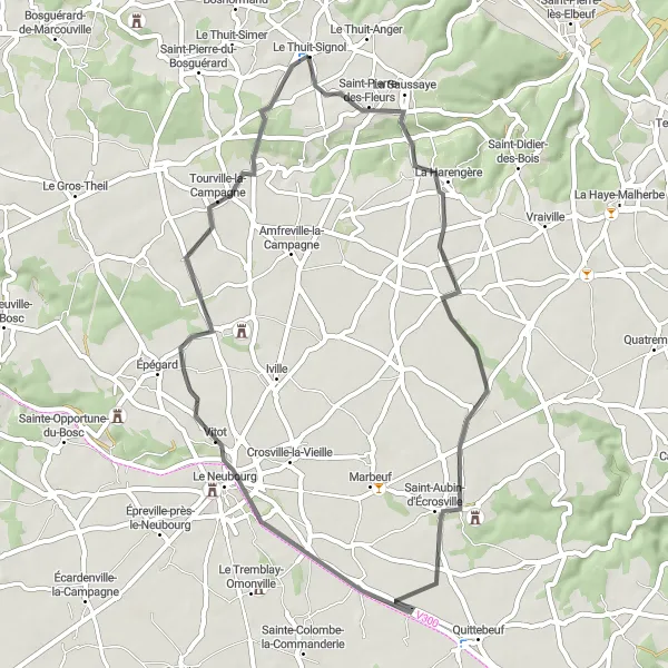
The Bosguérard Circuit
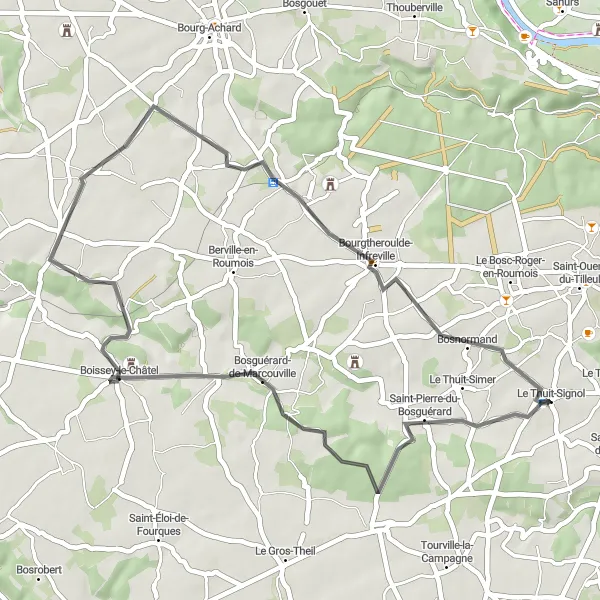
A scenic road cycling route with gentle climbs and beautiful countryside views.
The Bosguérard Circuit is a picturesque road cycling route that starts near Le Thuit-Signol. With a total distance of 41 kilometers and an elevation gain of 245 meters, this route offers a pleasant challenge for well-trained amateurs. The highlight of this route is Saint-Pierre-du-Bosguérard, a charming village located 3 kilometers along the way. With its historic church and traditional timber-framed houses, it is worth a visit during your cycling journey.
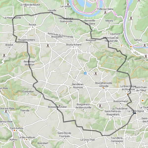
Immerse yourself in the natural beauty of Haute-Normandie on this picturesque road ride.
Discover the beauty of Haute-Normandie on this 68 km road ride near Le Thuit-Signol. With a total ascent of 422 meters, this route offers a rewarding challenge suitable for experienced amateur cyclists. Don't miss La Haye-du-Theil, a charming town with fascinating historical sites. Boissey-le-Châtel provides a delightful stop with its ancient castle walls and serene atmosphere. Reward yourself with a breathtaking view from the Panorama lookout point. Le Bosc-Roger-en-Roumois showcases the region's enchanting rural landscapes.
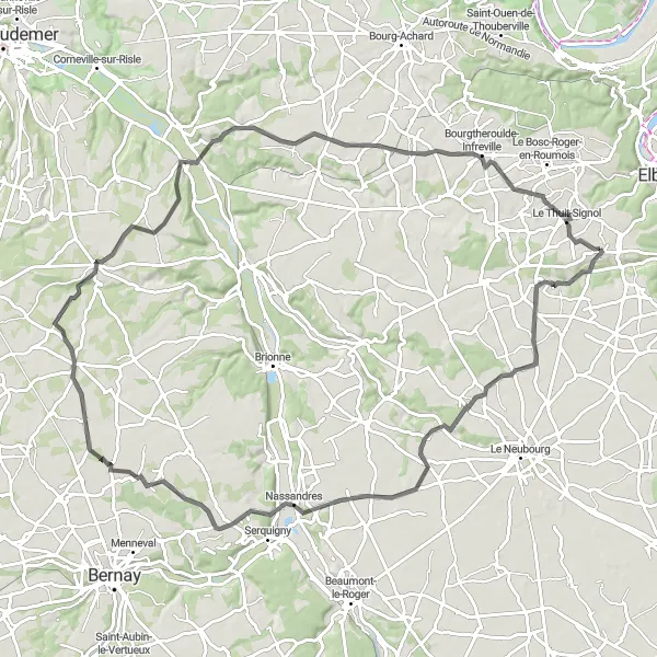
Embark on a demanding ride through picturesque countryside.
This challenging road loop around Le Thuit-Signol takes you on a 115 km journey through stunning Haute-Normandie landscapes. With a total ascent of 730 meters, this route is perfect for well-trained amateur cyclists seeking a tough adventure. Along the way, you'll pass through several charming towns and villages, including La Neuville-du-Bosc, Giverville, and La Chapelle-Bayvel. Take a break at Corneville-sur-Risle which offers breathtaking views of the surrounding countryside. Don't miss Brestot and Bosc-Bénard-Commin, two gems nestled in this idyllic rural setting.
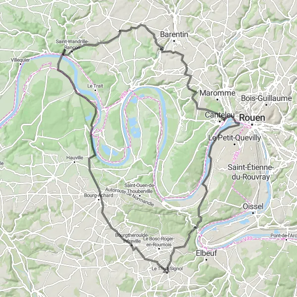
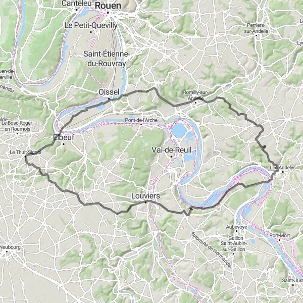
Embark on a challenging road cycling journey through the beautiful Seine Valley.
Experience the stunning beauty of the Seine Valley with this 104-kilometer road cycling route. Starting near Le Thuit-Signol, this route will take you through picturesque villages, lush green landscapes, and alongside the scenic Seine River. With an elevation gain of 912 meters, this route is suitable for well-trained and experienced cyclists. Highlights along the way include La Mailleraye-sur-Seine, a charming village located on the banks of the Seine River, Saint-Wandrille-Rançon, a historic abbey known for its magnificent architecture, and Grand-Couronne, a vibrant town offering beautiful views of the Seine River.
Cycling routes nearby:

Nearby regions: