The Risle Valley Escape
A road cycling route starting from Le Thuit-Signol
Embark on a thrilling road cycling adventure through the picturesque Risle Valley.
Map
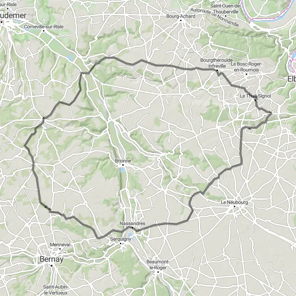
Experience the breathtaking beauty of the Risle Valley with this 92-kilometer road cycling route. Starting near Le Thuit-Signol, this route will take you through charming villages, rolling hills, and alongside the scenic Risle River. With an elevation gain of 518 meters, this route offers a challenging and rewarding experience for well-trained cyclists. Highlights along the way include Goupillières, a charming village with traditional Norman architecture, Montfort-sur-Risle, a picturesque village known for its stunning location on the banks of the Risle River, and Le Thuit-Signol itself, where you can explore the local attractions and historical landmarks.
road
92 km
518 m
Tough
Route profile
Highlights on the route
0 km
0 km
Start: Saint-Pierre-des-Fleurs Village centerLe Thuit-Signol: Cycling paradise in the heart of Haute-Normandie.
Le Thuit-Signol is a small locality located in Haute-Normandie, France. From a cyclist's perspective, it offers scenic rural roads surrounded by lush green fields and rolling hills. The area is perfect for road and gravel cyclists, with a variety of routes to choose from. While Le Thuit-Signol itself may not have any famous cycling spots, it is located near the popular tourist town of Rouen, which offers numerous cycling opportunities. With its picturesque countryside and proximity to other cycling destinations, Le Thuit-Signol is a great choice for cyclists wanting to explore the region.13 km
13 km
ÉpégardVillageÉpégard is a picturesque village surrounded by beautiful countryside and offers stunning views.
15 km
15 km
BelvédèreViewpointBelvédère is a must-visit viewpoint that provides breathtaking panoramic views of the surrounding countryside.
26 km
26 km
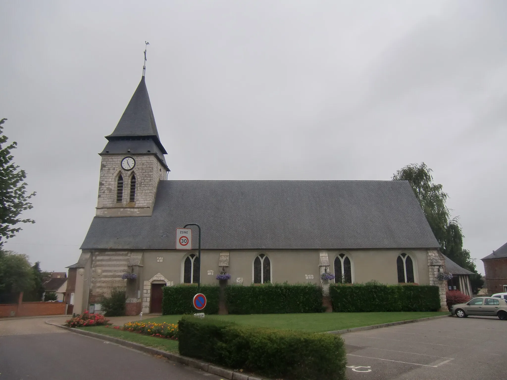
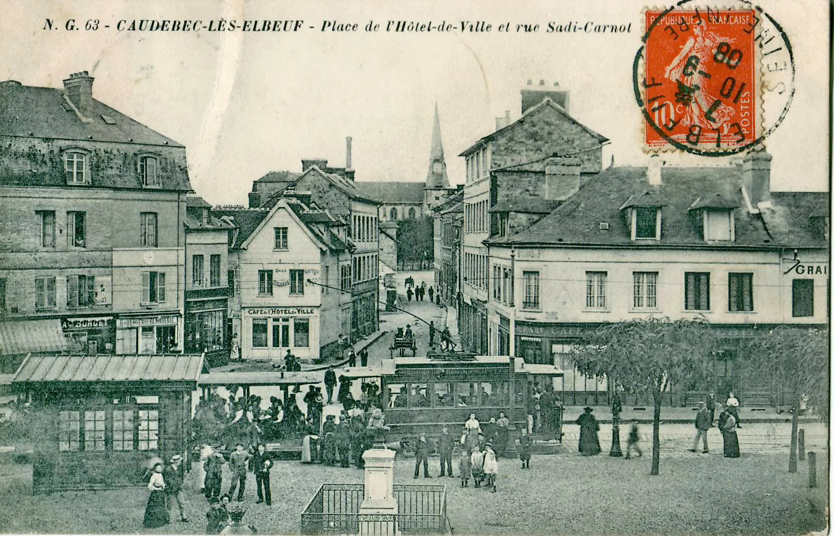
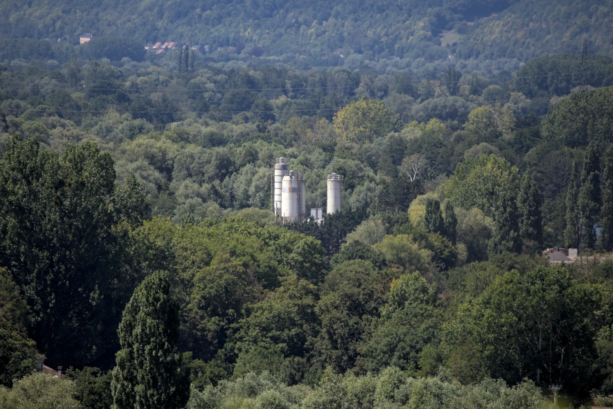
GoupillièresVillageGoupillières is a charming village with typical Norman architecture and a relaxed atmosphere.
47 km
47 km
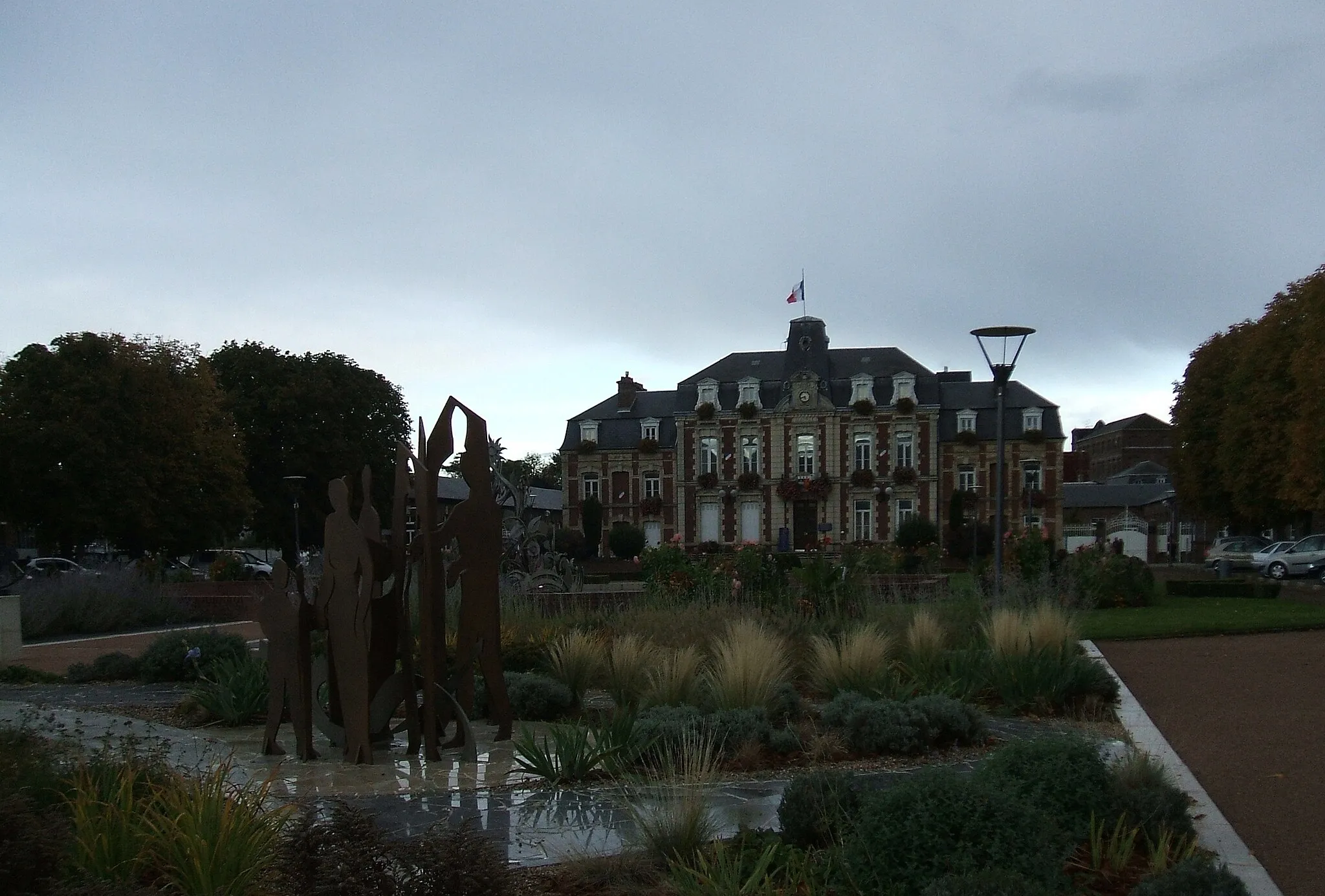
GivervilleVillageGiverville is a quaint village located along the banks of the Risle River and offers peaceful surroundings and natural beauty.
65 km
65 km
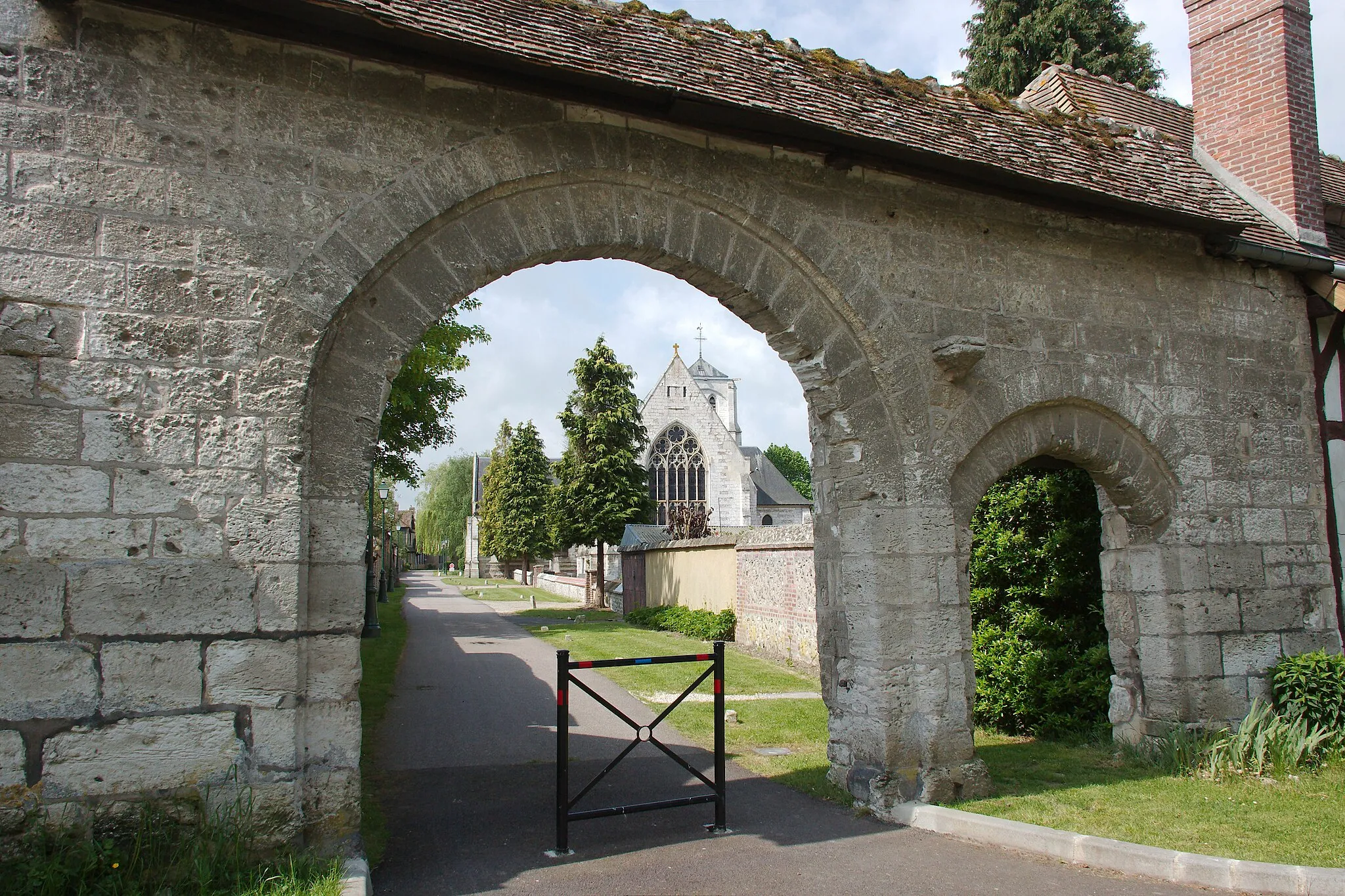
Montfort-sur-RisleVillageMontfort-sur-Risle is a picturesque village situated on the banks of the Risle River and surrounded by stunning natural landscapes.
89 km
89 km
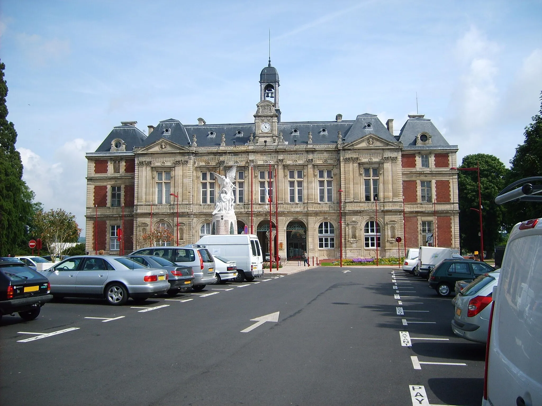
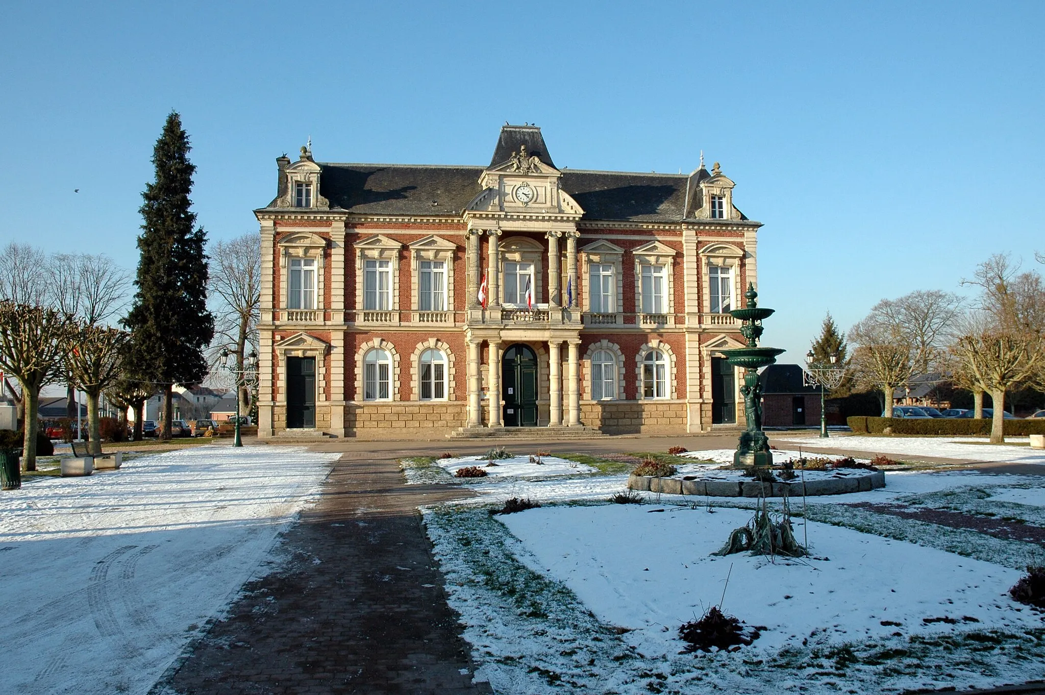
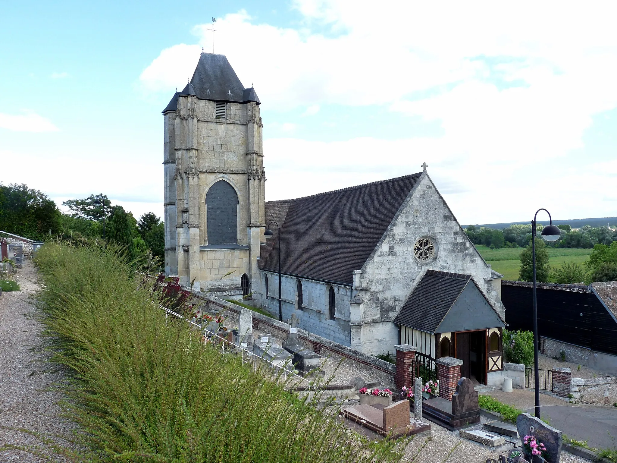
Le Thuit-SignolVillageLe Thuit-Signol is a charming village with a rich history and interesting landmarks, such as the Church of Saint Pierre.
92 km
92 km
Finish: Saint-Pierre-des-Fleurs Village centerLe Thuit-Signol: Cycling paradise in the heart of Haute-Normandie.
Cycling routes from Le Thuit-Signol:
Picturesque Short Ride from Le Thuit-Signol The Epégard Loop The Bosguérard Circuit The Seine Valley Adventure The Risle Valley Escape Challenging Road Loop around Le Thuit-Signol Scenic Road Ride near Le Thuit-Signol Off-road Adventure around Le Thuit-Signol The Roumois Loop Hilly Road Adventure from Le Thuit-Signol
Cycling routes nearby: