The Lande-Saint-Léger Circuit
A road cycling route starting from Pont-Audemer
Discover the diverse landscapes around Pont-Audemer on this challenging cycling route
Map
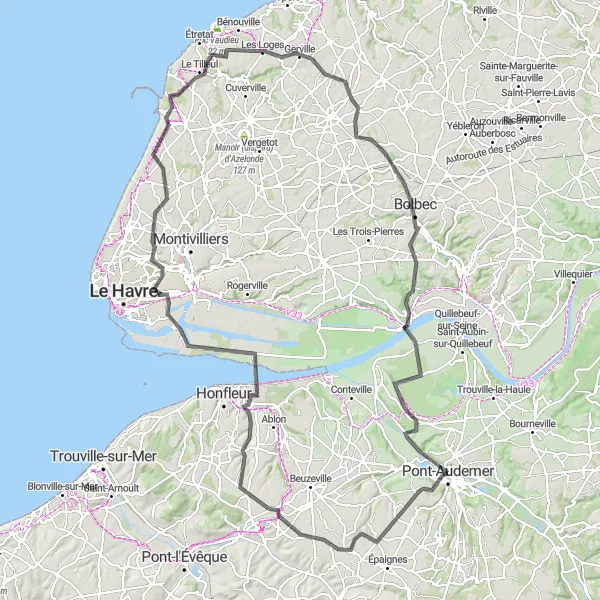
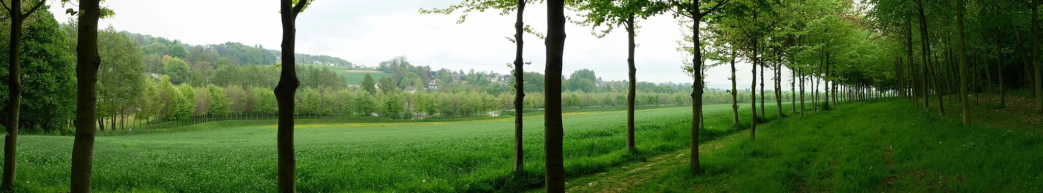
The Lande-Saint-Léger Circuit is a challenging cycling route that showcases the diverse landscapes surrounding Pont-Audemer. With a distance of 142 kilometers and a total ascent of 1105 meters, this route is suitable for experienced cyclists looking for a tougher challenge. Along the way, you'll pass through the picturesque village of La Lande-Saint-Léger and enjoy stunning views from Fontaine-la-Mallet. The Maison de la Réserve offers a chance for nature enthusiasts to explore the local wildlife and vegetation. As you make your way back to Pont-Audemer, be sure to stop by the historic town of Bolbec and the scenic Marais-Vernier.
road
142 km
1105 m
Savage
Route profile
Highlights on the route
0 km
0 km
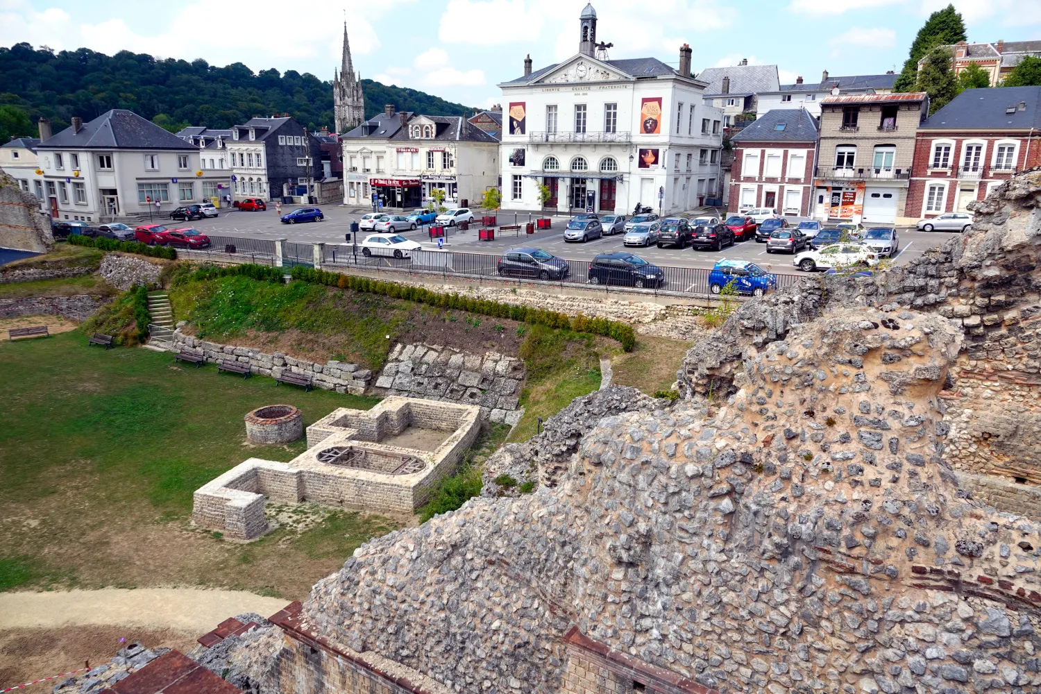
Start: Pont-Audemer City centerPont-Audemer: Relaxing rides through picturesque Normandy landscapes in Pont-Audemer.
Pont-Audemer is a charming town situated in the Haute-Normandie region of France. For a road and gravel cyclist, Pont-Audemer offers relatively flat terrains surrounded by picturesque landscapes. With no significant cycling challenges or famous spots nearby, Pont-Audemer is more suitable for leisurely rides and enjoying the beauty of the Normandy countryside. Cyclists can also explore the quaint town center and experience the rich history and culture of the region.16 km
16 km
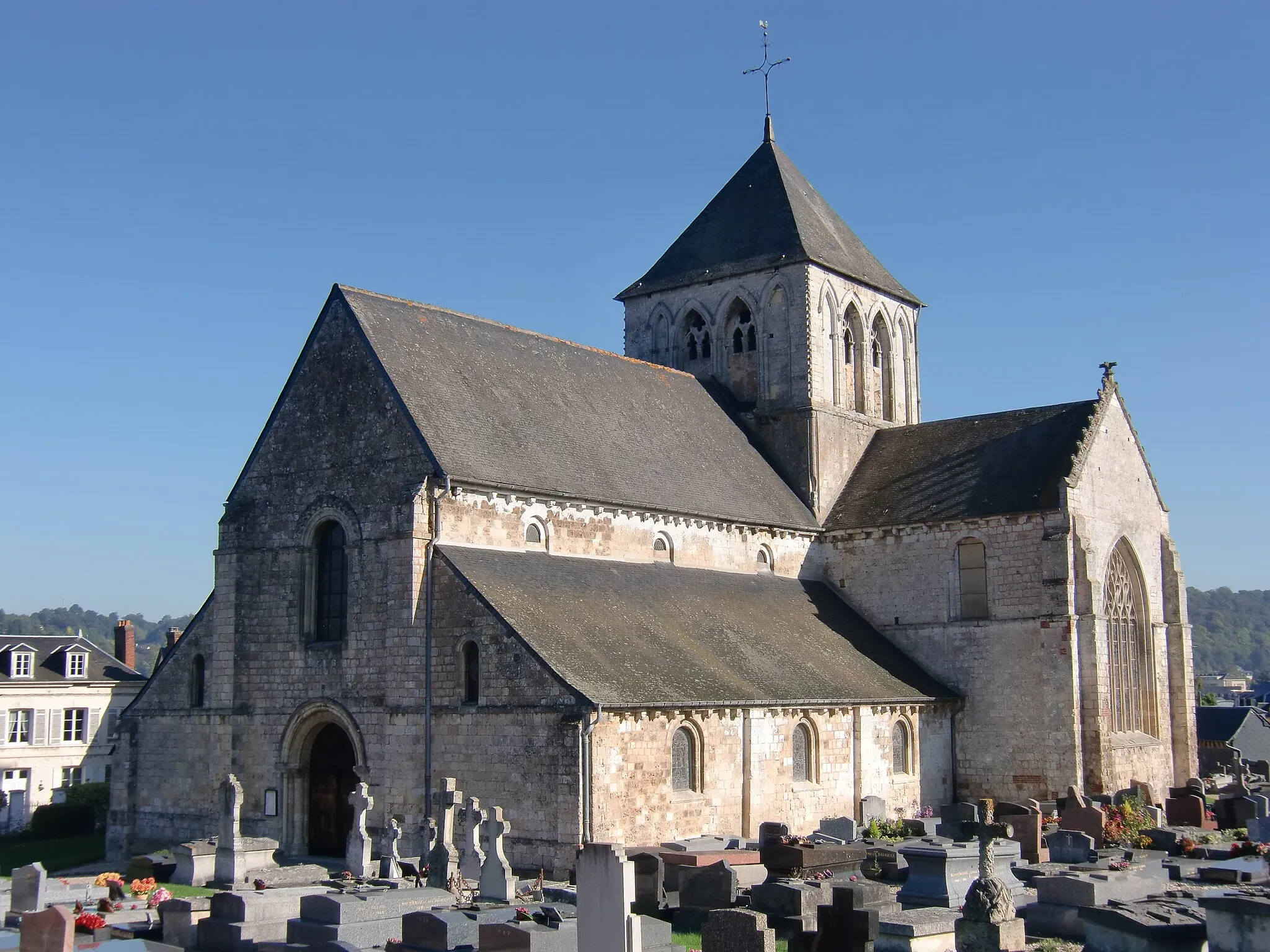
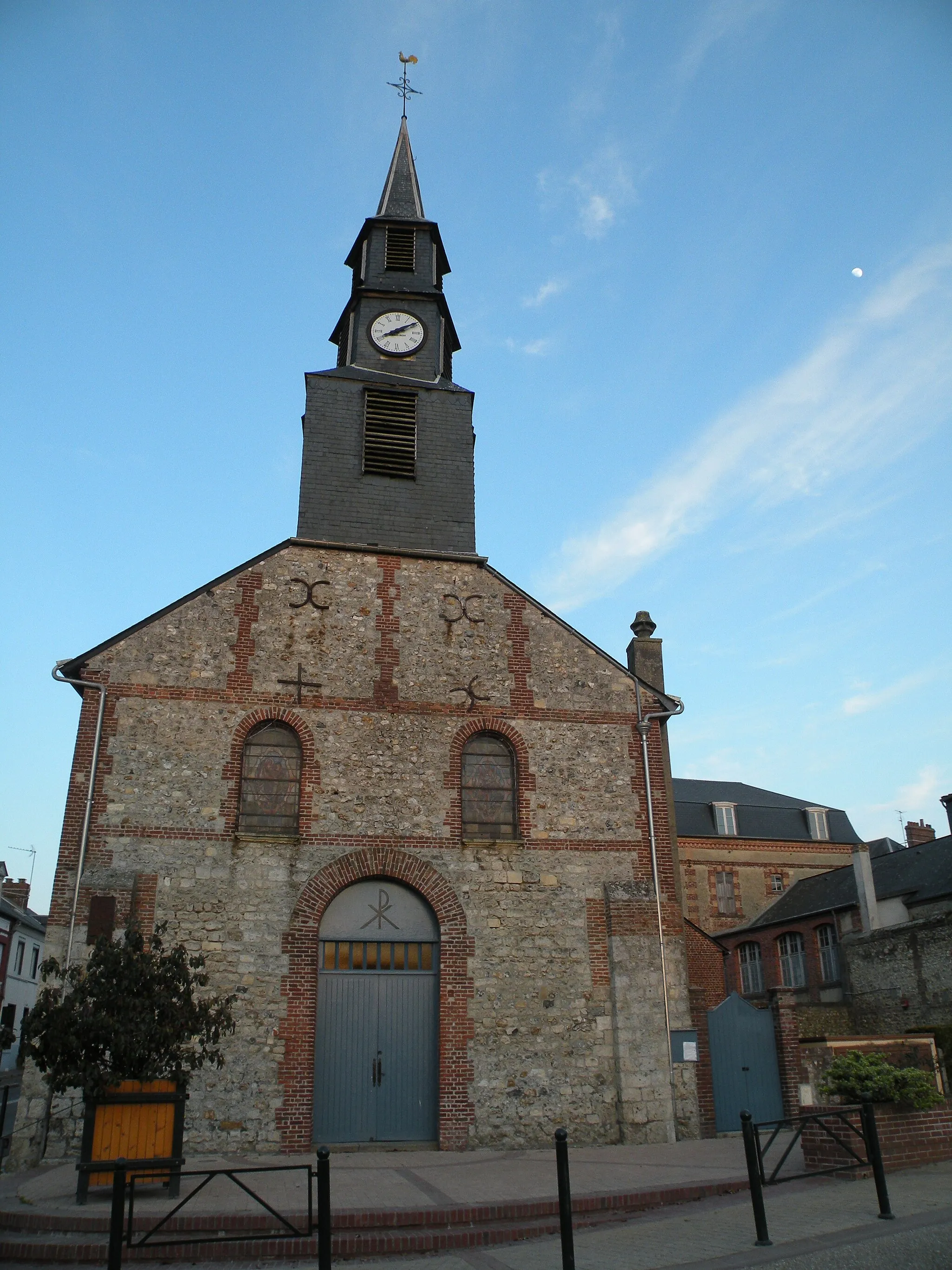
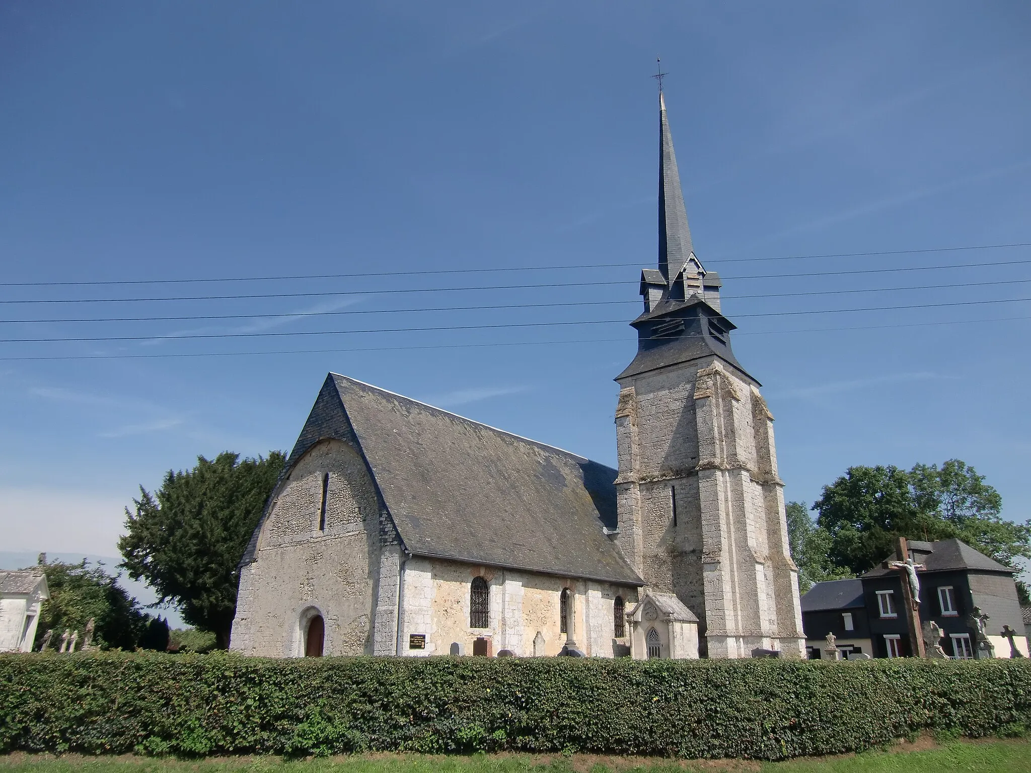
La Lande-Saint-LégerVillageLa Lande-Saint-Léger is a charming village surrounded by rolling hills and lush fields.
33 km
33 km
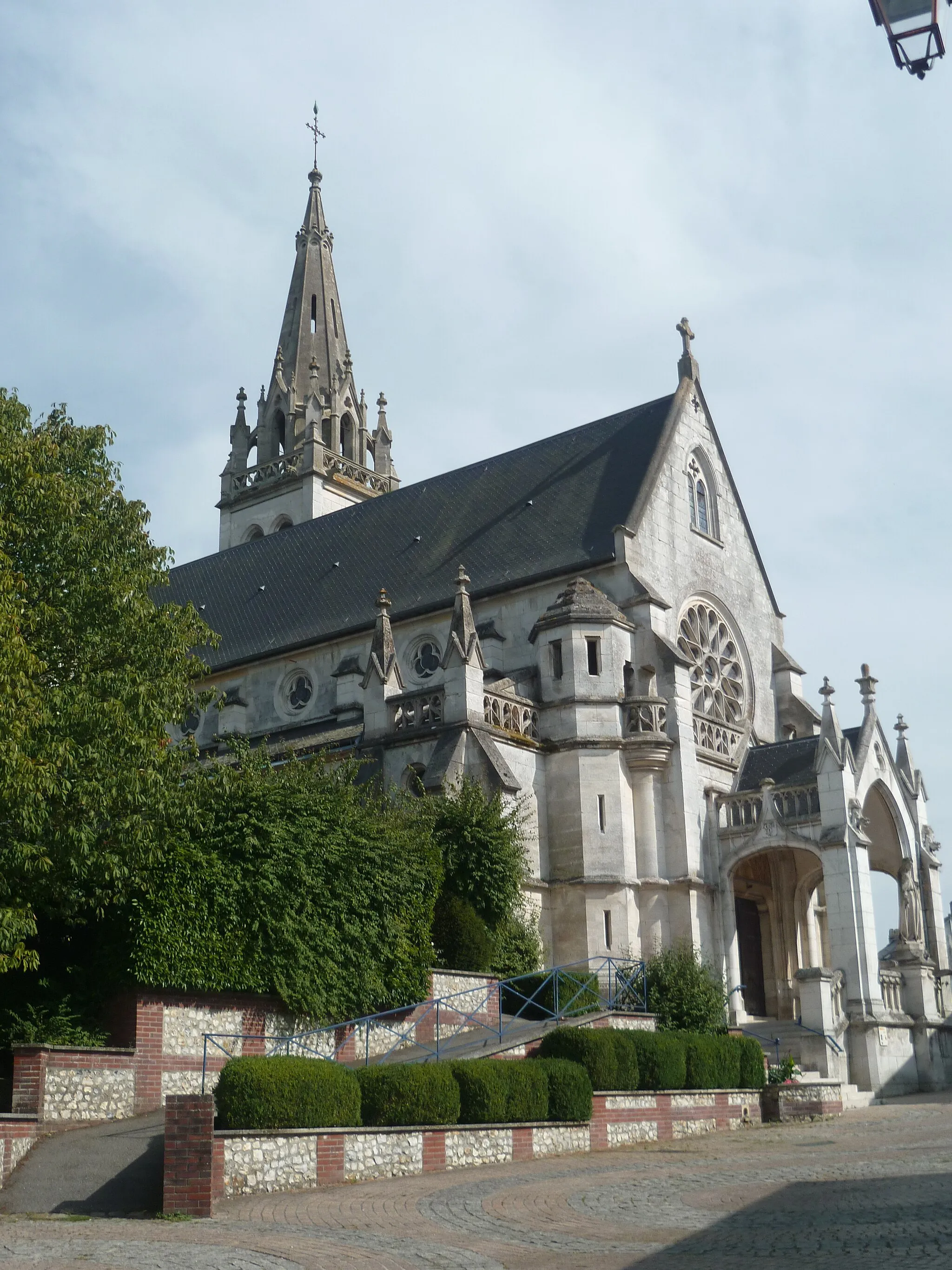
La Rivière-Saint-SauveurVillageEnjoy the beautiful views of the Seine River from the village of La Rivière-Saint-Sauveur.
39 km
39 km
Maison de la RéserveViewpointThe Maison de la Réserve is a nature reserve that provides a glimpse into the local flora and fauna.
58 km
58 km
Fontaine-la-MalletVillageFontaine-la-Mallet offers breathtaking panoramic views over the surrounding countryside.
77 km
77 km
La Poterie-Cap-d'AntiferVillageExplore the rugged coastline and cliffs at La Poterie-Cap-d'Antifer.
93 km
93 km
Auberville-la-RenaultVillageAuberville-la-Renault is a small village surrounded by picturesque landscapes.
101 km
101 km
BréautéVillageBréauté is a historic town with charming architecture and beautiful gardens.
110 km
110 km
BolbecTownBolbec is known for its textile industry heritage and well-preserved buildings.
118 km
118 km
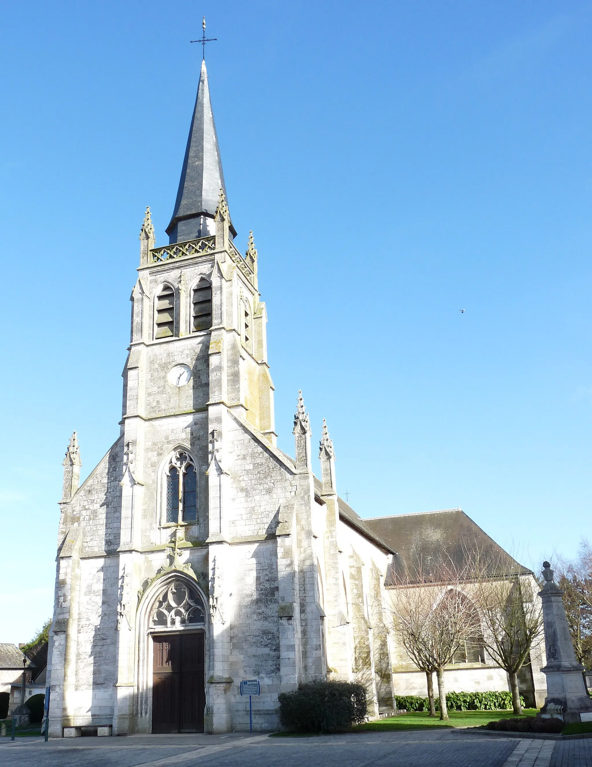
Saint-Nicolas-de-la-TailleVillageVisit the village of Saint-Nicolas-de-la-Taille and admire its charming church.
132 km
132 km
Marais-VernierVillage ViewpointMarais-Vernier is a scenic marshland area with rich biodiversity.
142 km
142 km
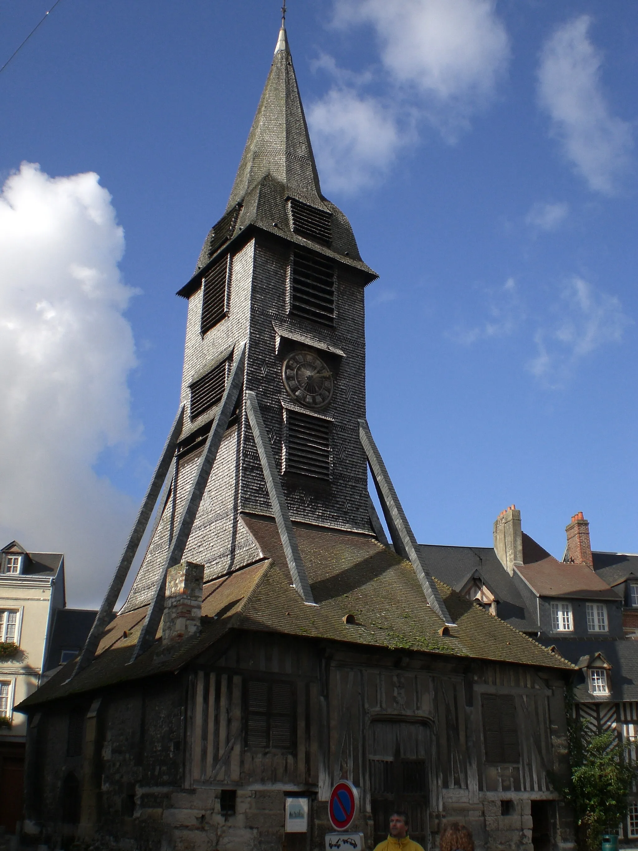
Pont-AudemerTownPont-Audemer is a historic town known for its canals and traditional half-timbered houses.
142 km
142 km
Finish: Pont-Audemer City centerPont-Audemer: Relaxing rides through picturesque Normandy landscapes in Pont-Audemer.
Cycling routes from Pont-Audemer:
Discovery of Seine Valley Éturqueraye and Saint-Grégoire-du-Vièvre Saint-Grégoire-du-Vièvre and La Noë-Poulain The Lande-Saint-Léger Circuit Bouquetot and Saint-Philbert-sur-Risle Côtes de Pont-Audemer Manneville-sur-Risle and Colletot Morainville-Jouveaux and Saint-Julien-sur-Calonne Coastal Escape The Blacarville Circuit The Gravel Adventure
Cycling routes nearby: