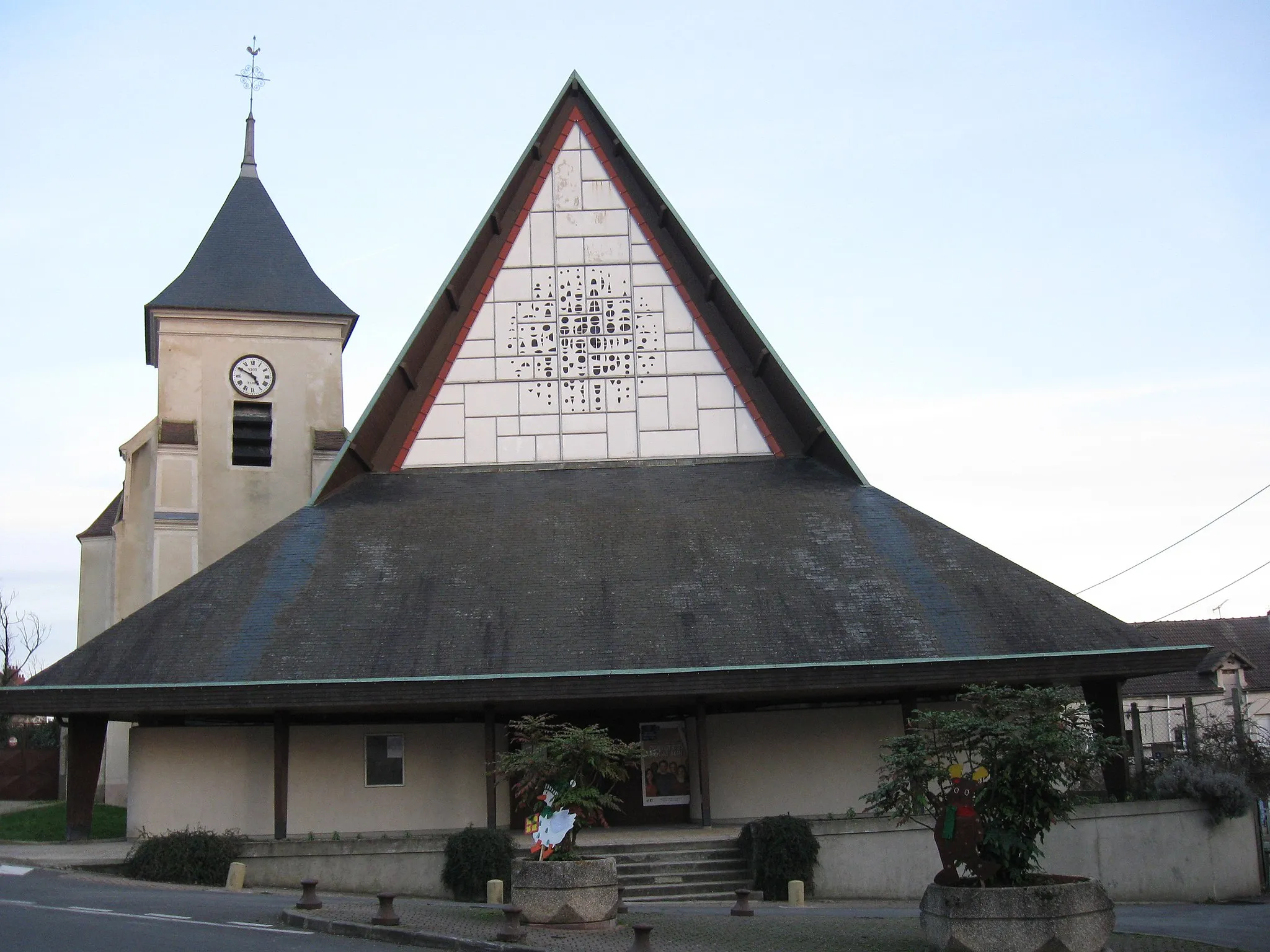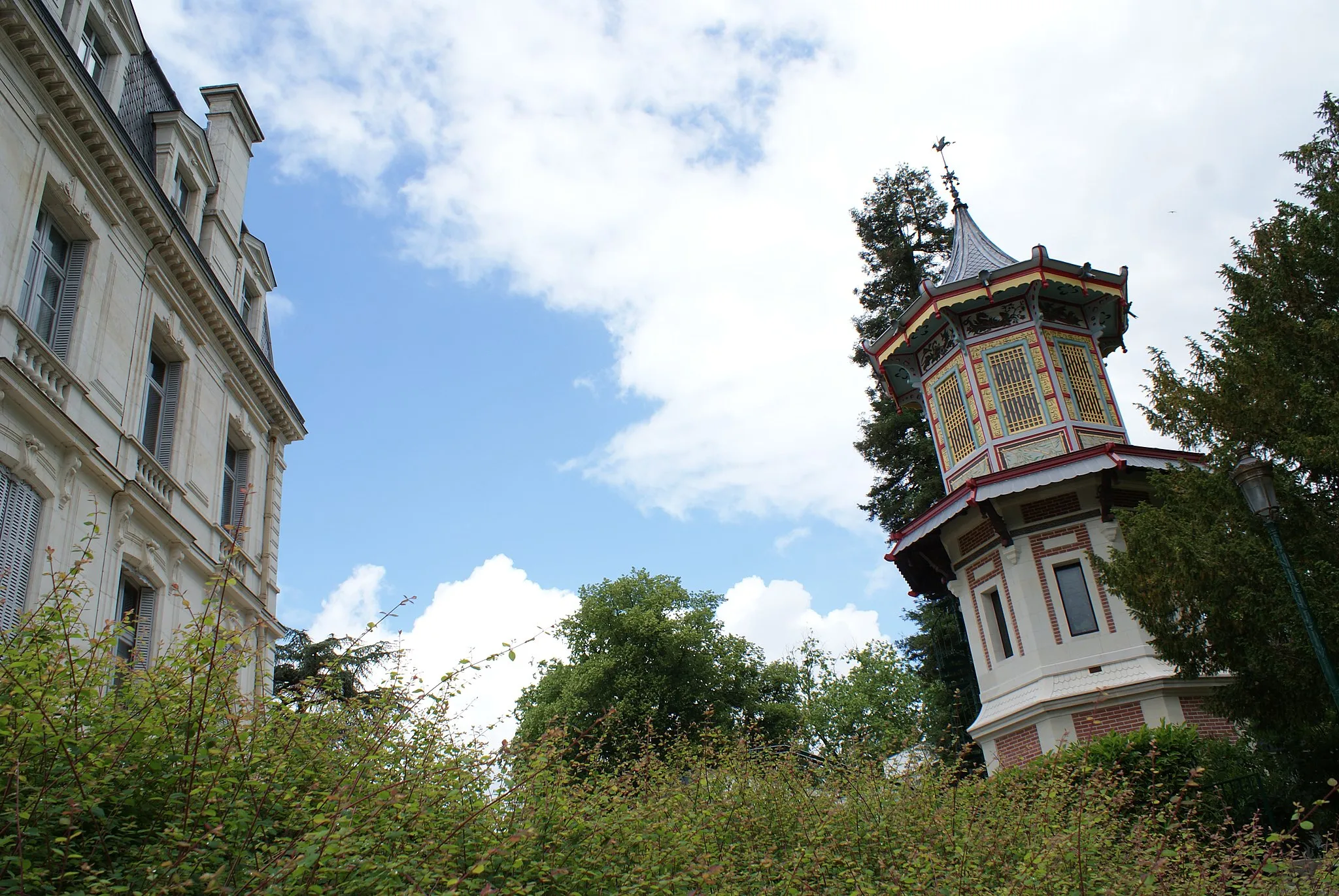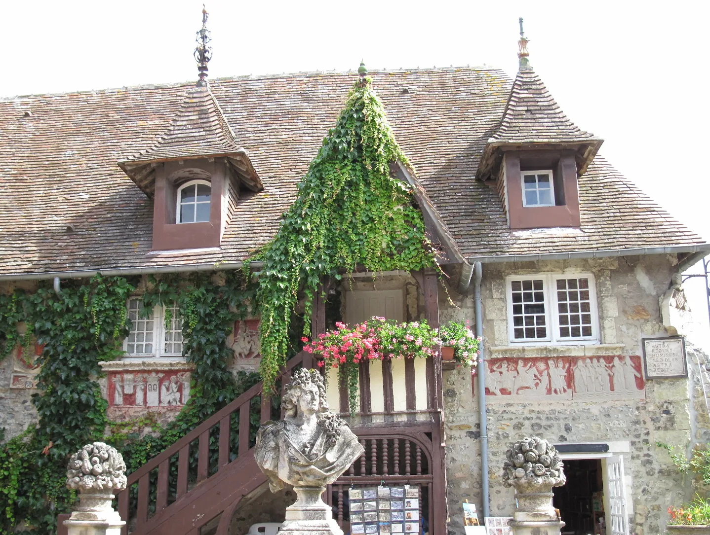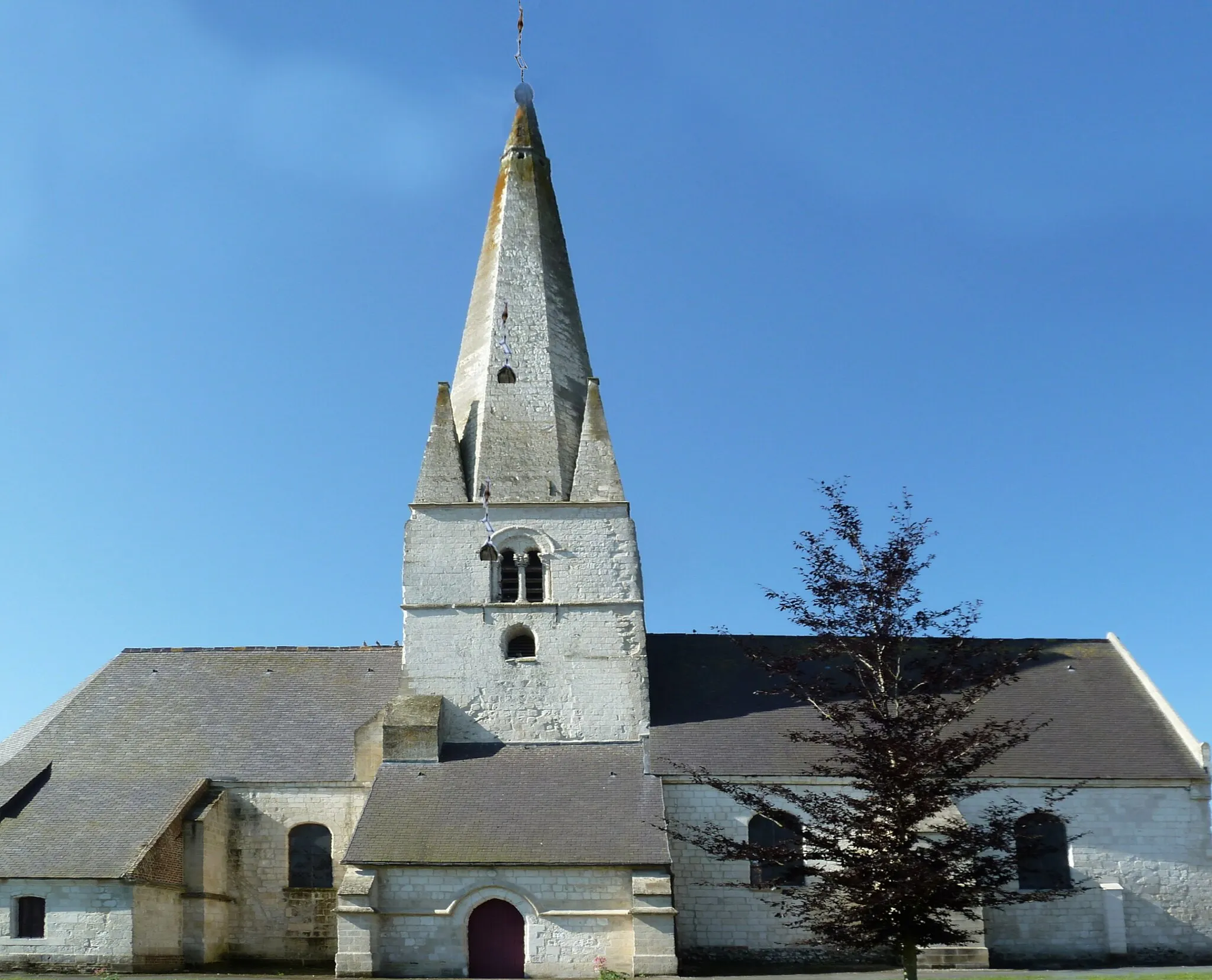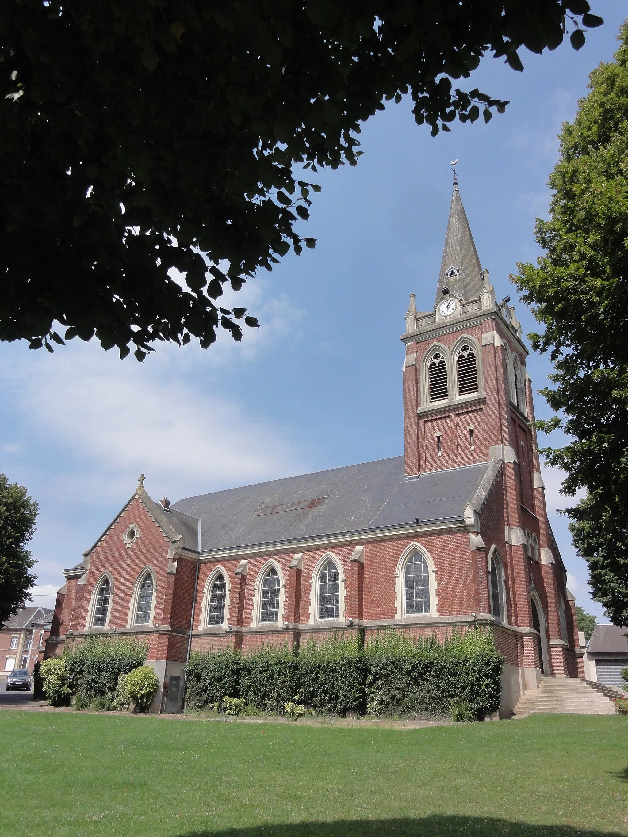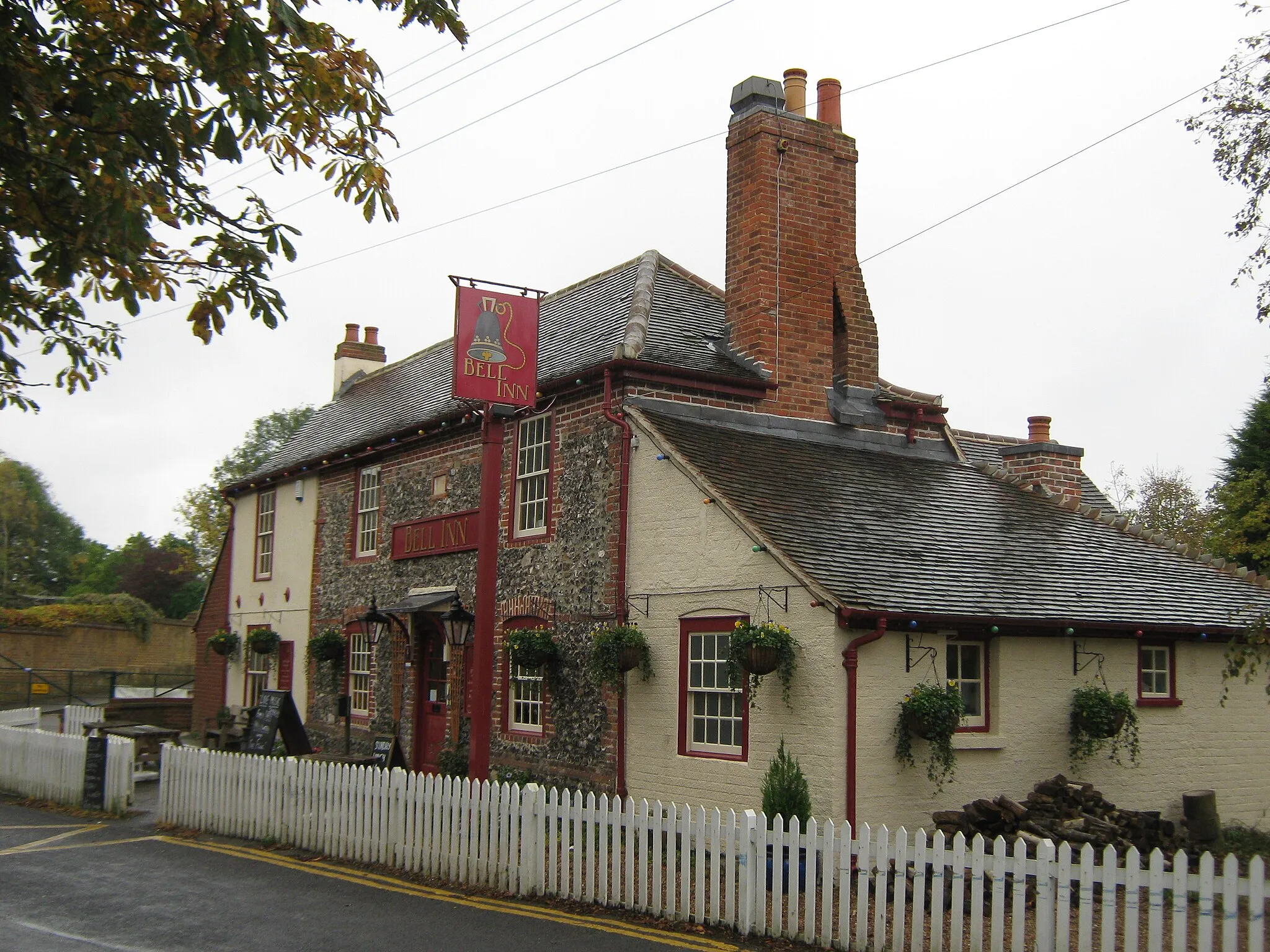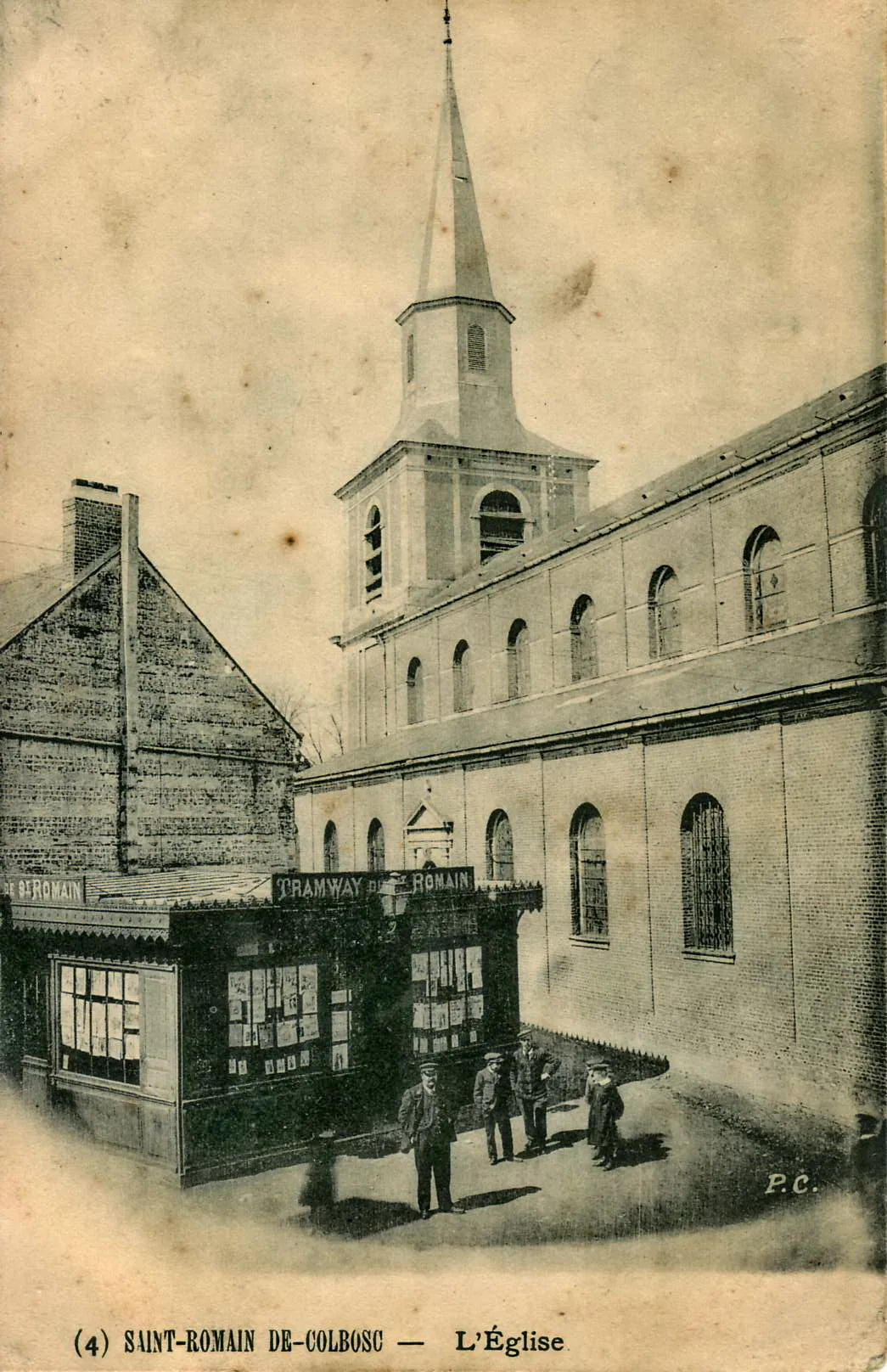
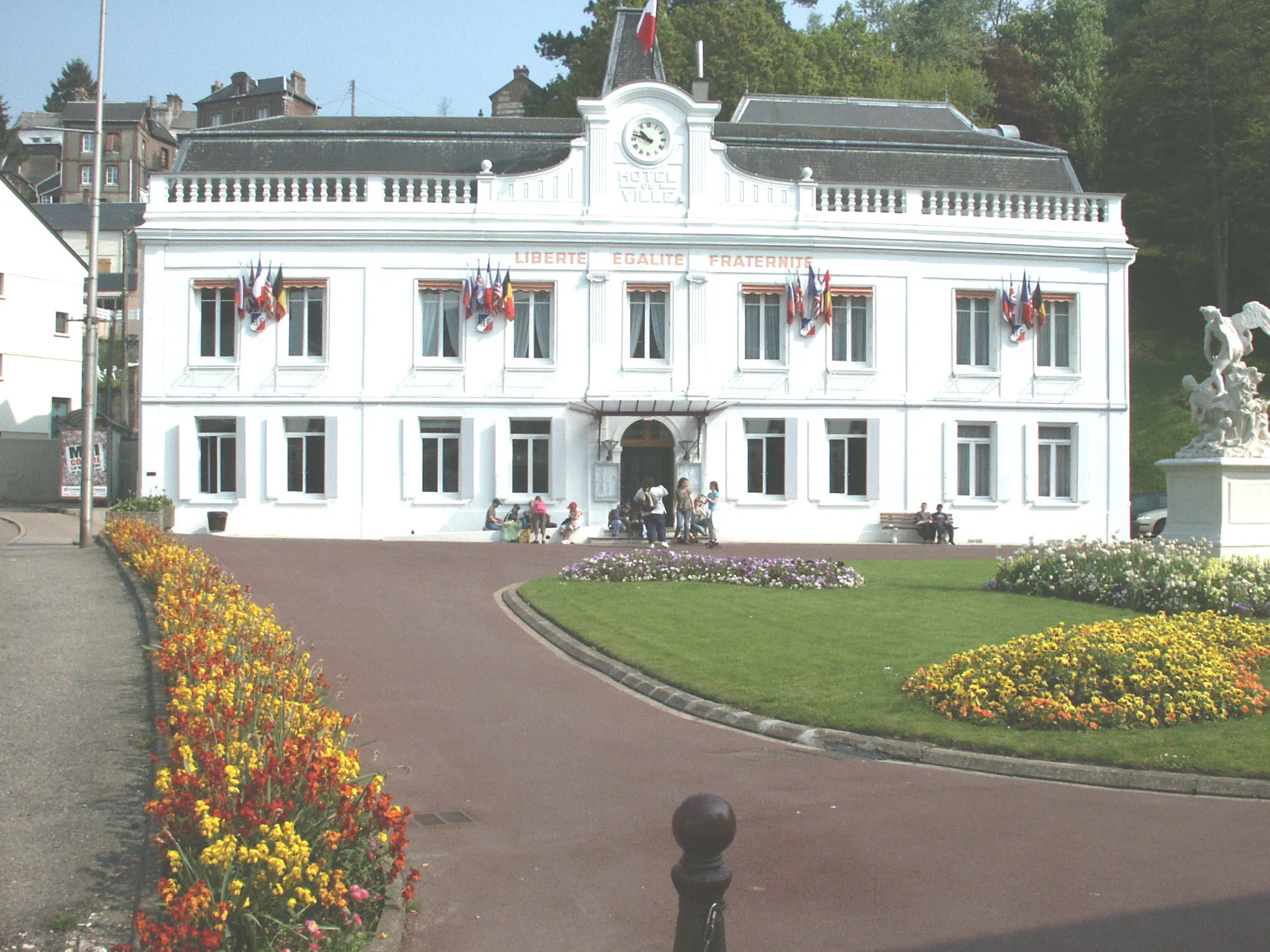
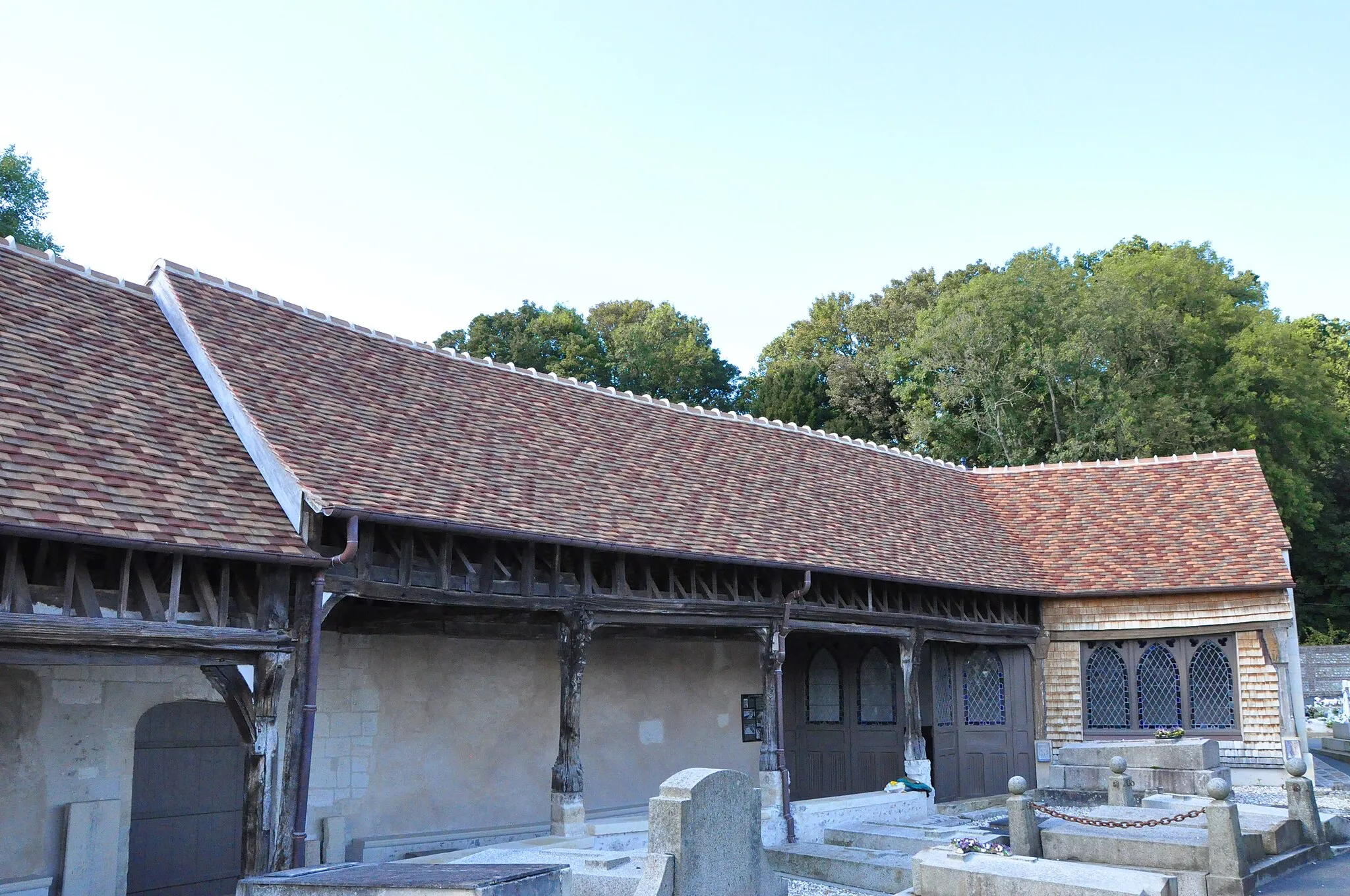
A peaceful rural village in Haute-Normandie, France
Cycling routes from Saint-Romain-de-Colbosc
Saint-Romain-de-Colbosc, located in Haute-Normandie, France, is a charming locality for road and gravel cyclists. The area offers a mix of flat roads and rolling hills, providing a variety of terrain for cyclists of all levels. Cyclists can enjoy the picturesque countryside and peaceful atmosphere while pedaling through the quaint village. While not particularly famous for cycling, the surrounding area does offer some notable climbs for those looking for a challenge. Overall, Saint-Romain-de-Colbosc is a pleasant destination for cyclists seeking a scenic and relaxed ride.
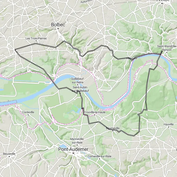
Embark on a scenic cycling adventure along the Seine River
Embark on a challenging 90 km road cycling adventure that takes you through the beautiful landscapes along the Seine River. With a total ascent of 731 meters, this route is well-suited for experienced cyclists looking for a challenging and rewarding experience. Enjoy panoramic views of the river, visit charming villages, and conquer the thrilling climbs that make this route truly epic.
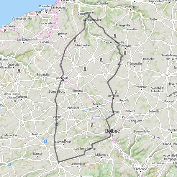
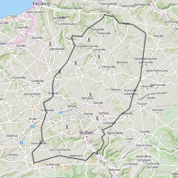
Goderville Loop
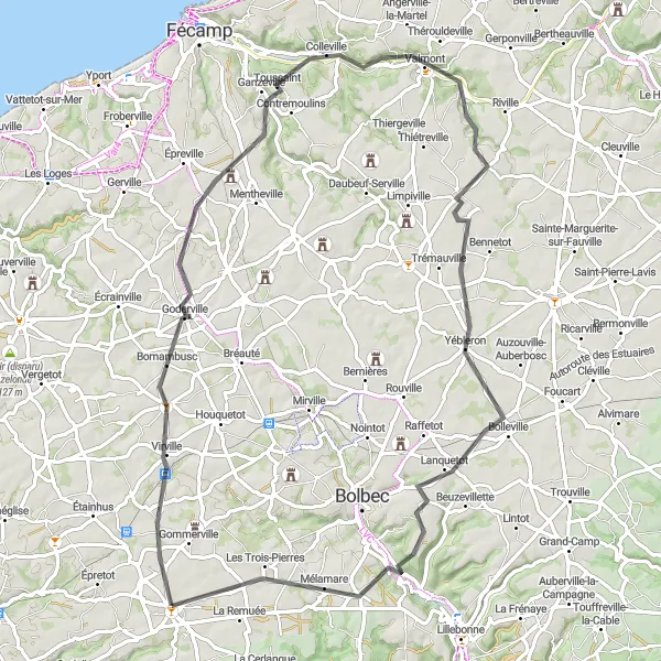
Explore the charming countryside around Goderville
Embark on a scenic road cycling adventure through picturesque villages and rolling hills near Goderville. This 75 km route offers a delightful mix of challenging climbs and scenic countryside, providing a rewarding experience for experienced cyclists. With a total ascent of 517 meters, this route will test your endurance while providing breathtaking views of the surrounding landscapes.
Discover the scenic beauty of Saint-Aubin-Routot on this cycling route
Explore the idyllic landscapes surrounding Saint-Aubin-Routot on this 41 km road cycling adventure. With a total ascent of 313 meters, this route is suitable for cyclists of all levels. Discover charming villages, picturesque farmlands, and peaceful countryside as you pedal through the scenic Haute-Normandie region.
La Remuée Gravel
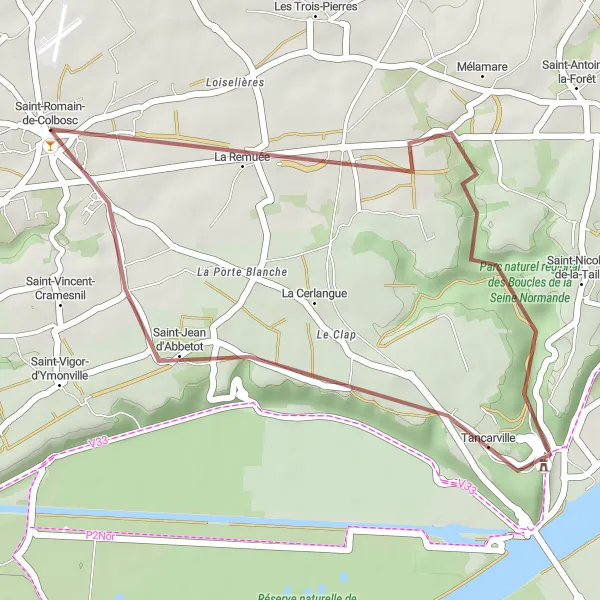
An off-road adventure through the picturesque countryside near Saint-Romain-de-Colbosc.
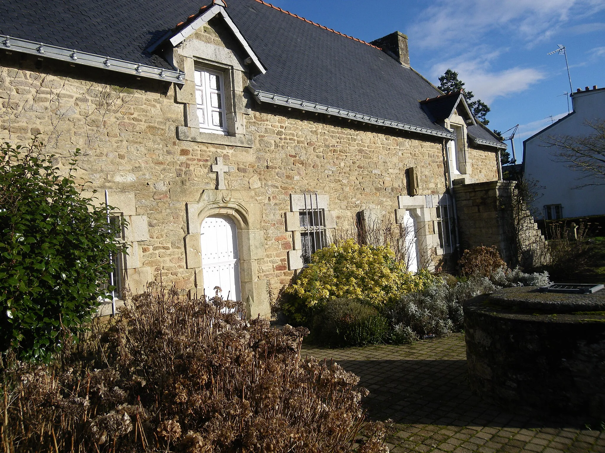
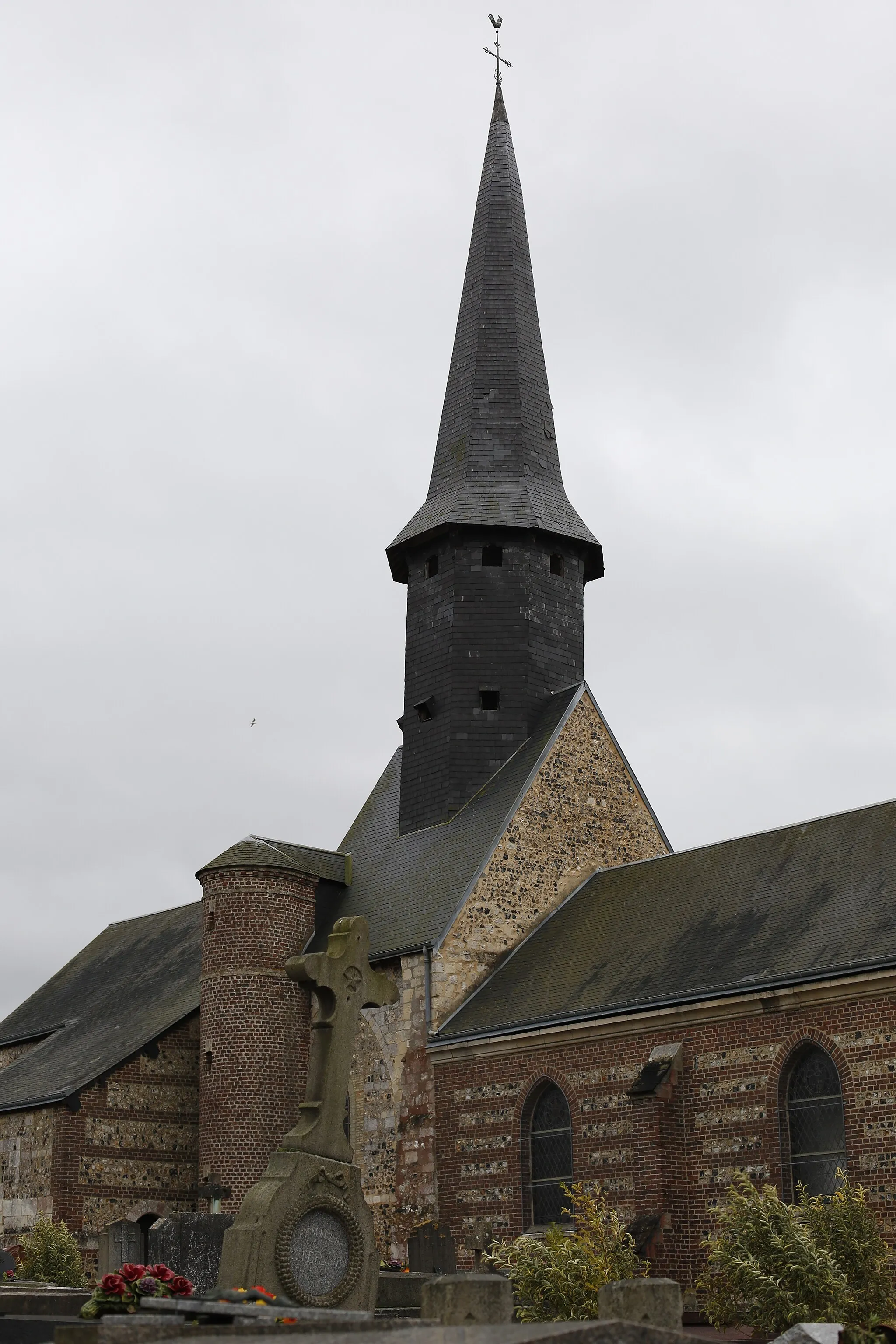
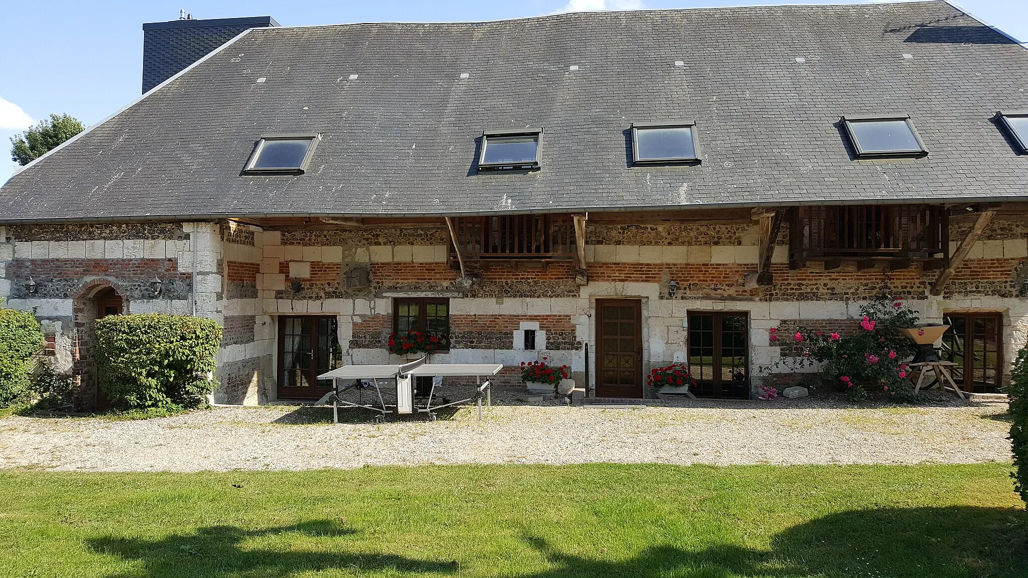
Embark on an exciting gravel route that takes you through the scenic countryside near Saint-Romain-de-Colbosc. With a distance of 24 kilometers and an elevation gain of 188 meters, this off-road adventure is perfect for gravel enthusiasts. The route passes through La Remuée, a charming village with traditional Norman architecture. Prepare to be enchanted by the stunning landscapes and peaceful atmosphere.
Embark on a scenic cycling adventure through Normandy's countryside
Indulge in the natural beauty of Normandy's countryside on this 62 km road cycling route. With a total ascent of 462 meters, this route offers a mix of gentle slopes and flat sections, making it suitable for cyclists of varying skill levels. Cycle through charming villages and enjoy stunning views of the rolling hills that define the region.
Mounitvilliers to Étretat
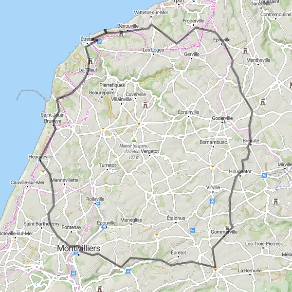
A scenic road cycling route from Montivilliers to Étretat showcasing the beauty of the Normandy coastline.
Embark on a scenic road cycling adventure from Montivilliers to Étretat and discover the breathtaking beauty of the Normandy coastline. This 76-kilometer route features an elevation gain of 596 meters, providing a moderate challenge for cyclists. Enjoy the stunning views of Montivilliers and Bretteville-du-Grand-Caux along the way. Do not miss the opportunity to explore Étretat and witness the iconic cliffs that have inspired artists for centuries.
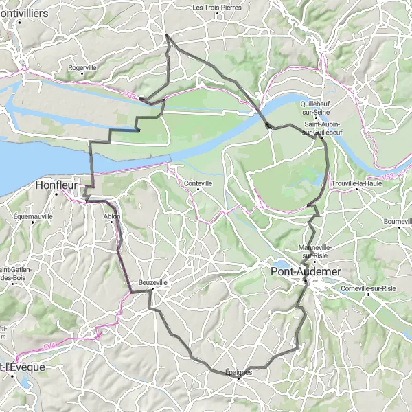
A scenic road cycling route with breathtaking views of Caudebec-en-Caux.
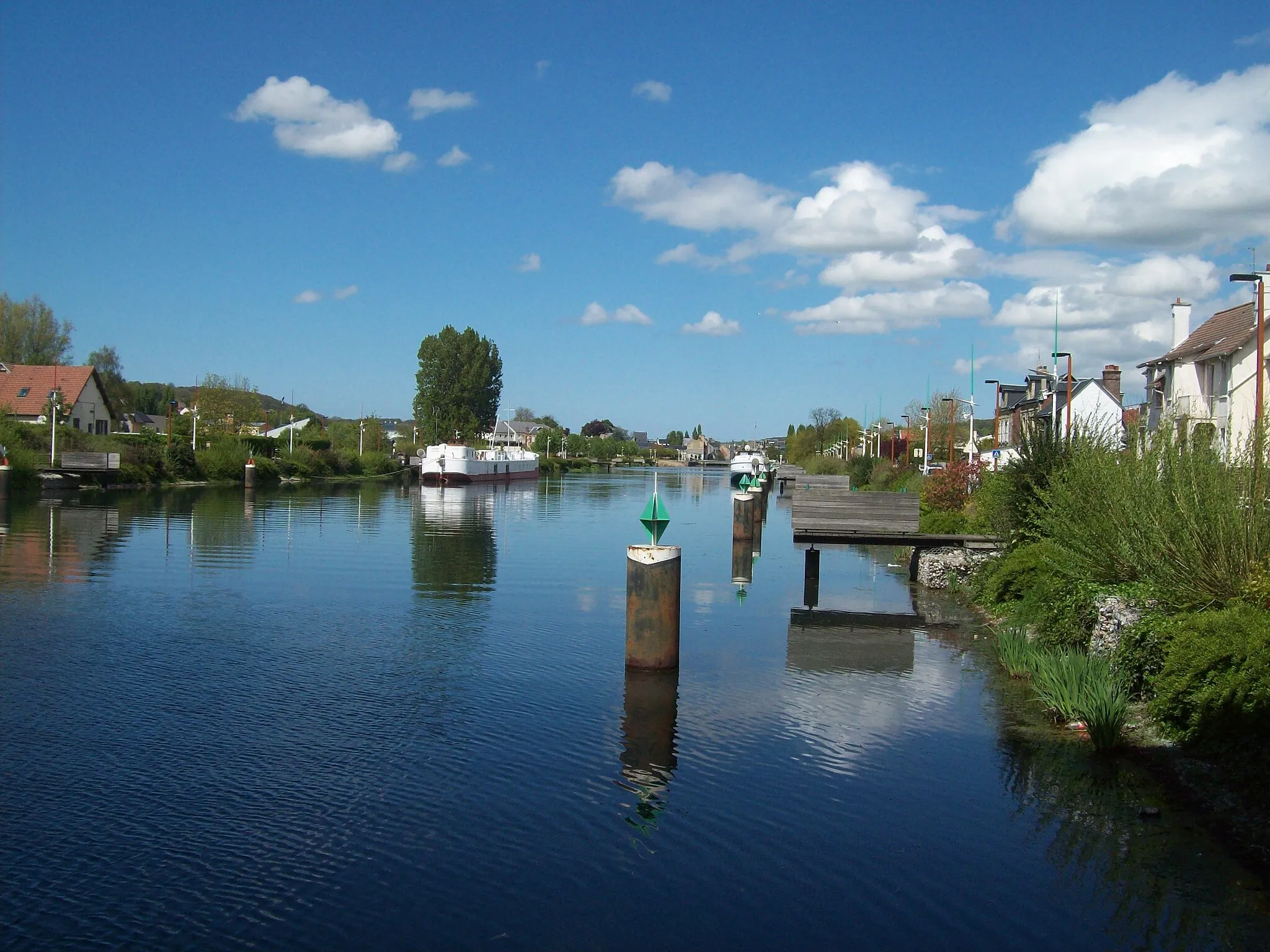
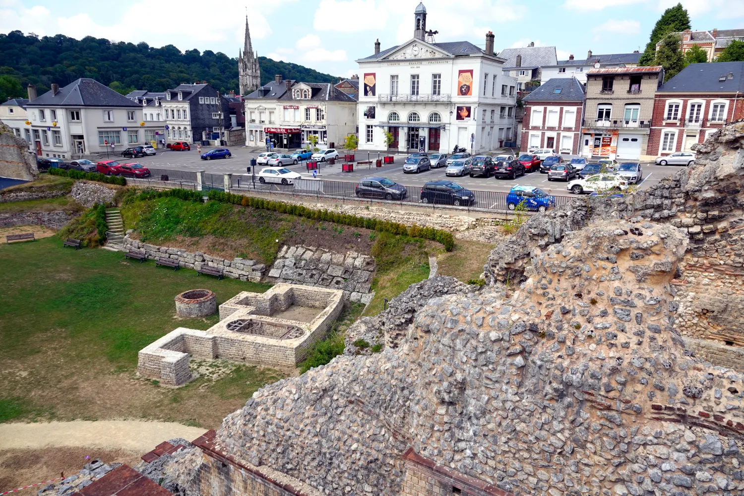
Embark on a scenic road cycling adventure and admire the breathtaking views of Caudebec-en-Caux. This 107-kilometer route features a challenging elevation gain of 755 meters, making it suitable for well-trained amateurs. Explore the picturesque countryside and pass through charming towns such as Beuzevillette and Routot. This route offers a perfect blend of natural beauty and cultural heritage.

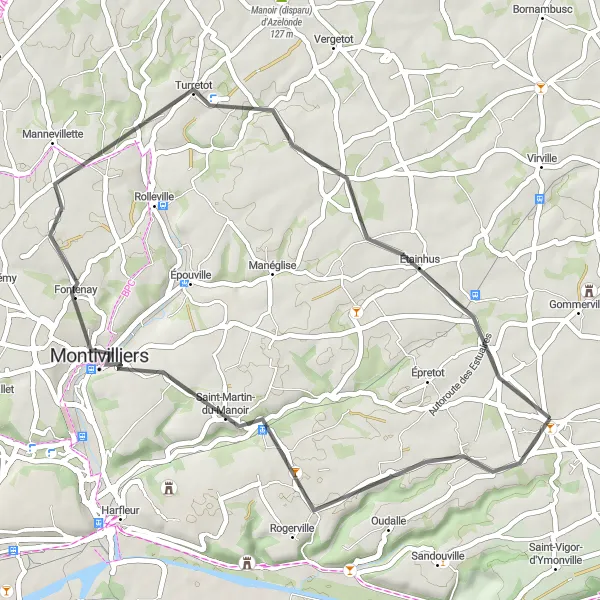
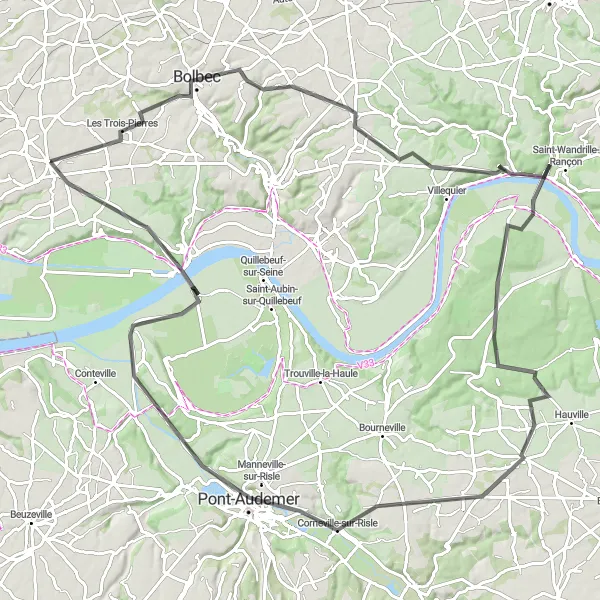
Cross the famous Tancarville Bridge on this scenic cycling route
Embark on a thrilling road cycling adventure that takes you across the legendary Tancarville Bridge. This 70 km route offers breathtaking views of the Seine River and the surrounding countryside. With a total ascent of 509 meters, this route is suitable for intermediate cyclists looking for a challenging yet rewarding experience.
Discover the picturesque landscapes near Saint-Romain-de-Colbosc on this road cycling route.
This road cycling route near Saint-Romain-de-Colbosc offers stunning views of the Normandy countryside. With a total distance of 96 kilometers and an ascent of 597 meters, this route is suitable for well-trained amateurs. The route passes through several charming villages, including Tancarville, Saint-Aubin-sur-Quillebeuf, Tourville-sur-Pont-Audemer, Beuzeville, Ablon, Maison de la Réserve, and Saint-Vincent-Cramesnil. Visitors will be delighted by the quaint architecture and peaceful atmosphere of these unique locations. The route is challenging yet rewarding, with beautiful scenery and historical landmarks along the way. Whether you're an experienced cyclist or just starting out, this route is sure to provide a memorable and enjoyable cycling experience. The highlights along the route include the Tancarville bridge, known for its impressive design, and Maison de la Réserve, a beautiful nature reserve offering a tranquil retreat. Overall, this road cycling route near Saint-Romain-de-Colbosc combines sport, nature, and history, making it a perfect choice for cyclists seeking both a physical challenge and cultural enrichment.
Normandy Countryside Ride
Embark on a scenic road trip through the charming countryside of Haute-Normandie, experiencing the tranquility and beauty of rural France.
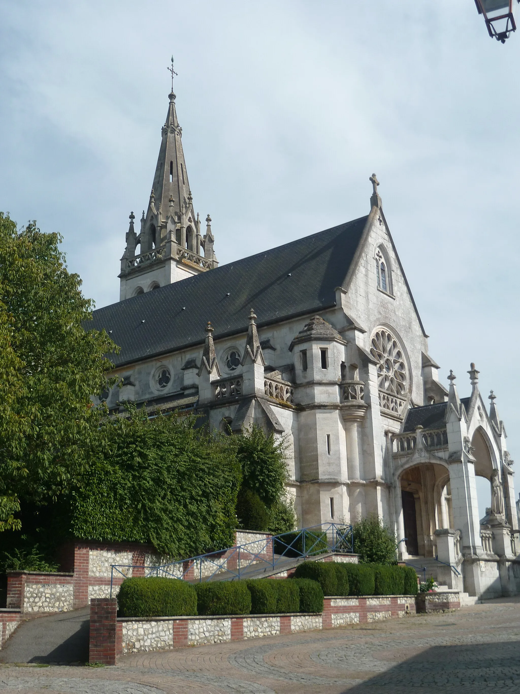
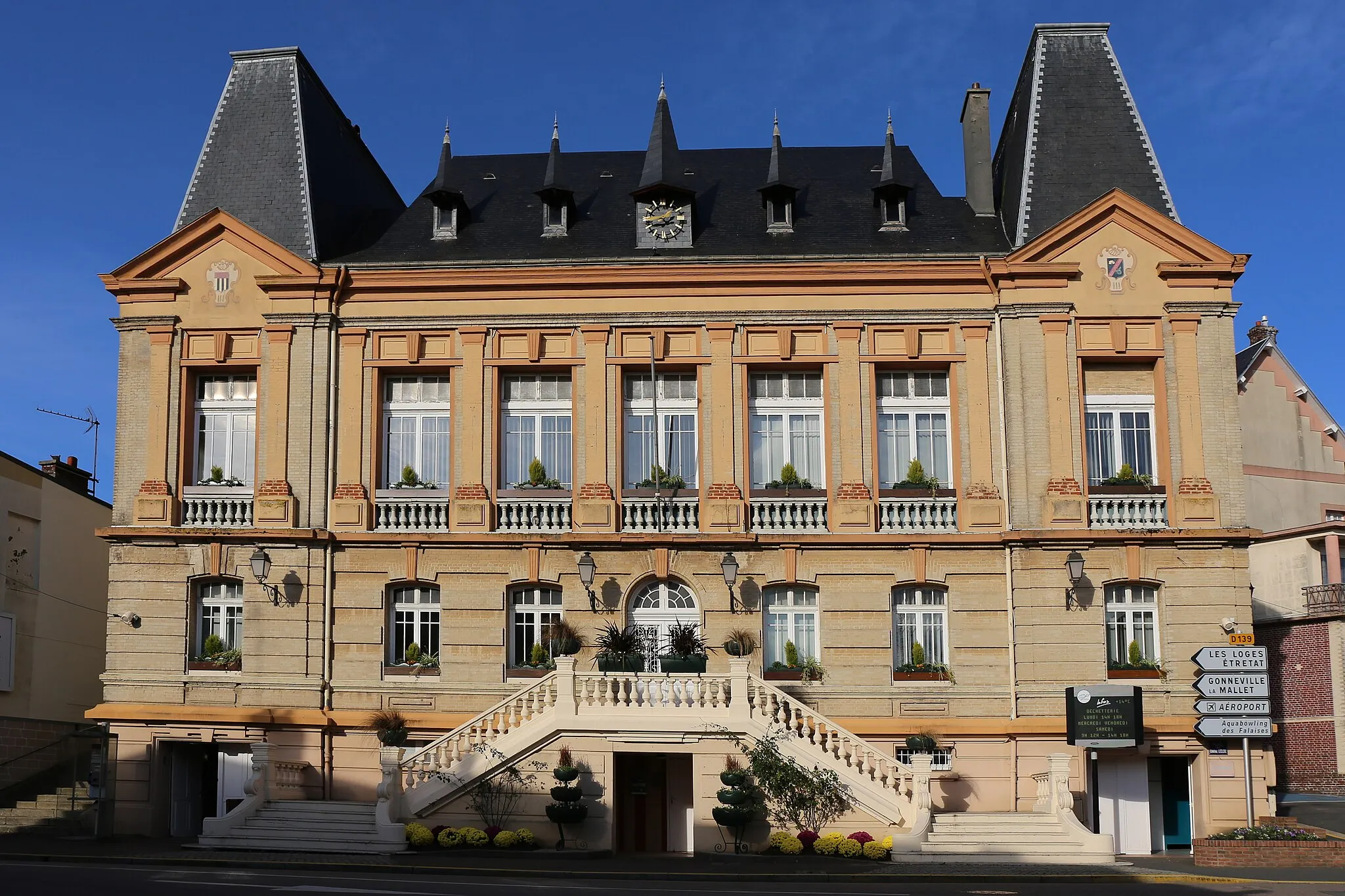
Ideal for cyclists seeking a picturesque countryside adventure, this road cycling route starting near Saint-Romain-de-Colbosc offers a delightful journey through the heart of rural Normandy. With manageable difficulty and a distance of 73 km, you'll cycle through quaint villages, serene farmlands, and lush green landscapes. The route's highlight is the village of Saint-Gilles-de-la-Neuville, known for its historic church and peaceful atmosphere. As you pedal through the charming lanes of Annouville-Vilmesnil and Saint-Antoine-la-Forêt, you'll have the opportunity to admire the traditional Norman architecture of the region. This idyllic cycling route showcases the peaceful charm of Haute-Normandie's countryside, providing a rewarding and rejuvenating experience for cyclists of all levels.
Cycling routes nearby:
Nearby regions: