Mounitvilliers to Étretat
A road cycling route starting from Saint-Romain-de-Colbosc
A scenic road cycling route from Montivilliers to Étretat showcasing the beauty of the Normandy coastline.
Map
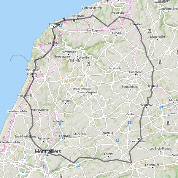
Embark on a scenic road cycling adventure from Montivilliers to Étretat and discover the breathtaking beauty of the Normandy coastline. This 76-kilometer route features an elevation gain of 596 meters, providing a moderate challenge for cyclists. Enjoy the stunning views of Montivilliers and Bretteville-du-Grand-Caux along the way. Do not miss the opportunity to explore Étretat and witness the iconic cliffs that have inspired artists for centuries.
road
76 km
596 m
Tough
Route profile
Highlights on the route
0 km
0 km
Start: Saint-Romain-de-Colbosc Village centerSaint-Romain-de-Colbosc: A peaceful rural village in Haute-Normandie, France
Saint-Romain-de-Colbosc, located in Haute-Normandie, France, is a charming locality for road and gravel cyclists. The area offers a mix of flat roads and rolling hills, providing a variety of terrain for cyclists of all levels. Cyclists can enjoy the picturesque countryside and peaceful atmosphere while pedaling through the quaint village. While not particularly famous for cycling, the surrounding area does offer some notable climbs for those looking for a challenge. Overall, Saint-Romain-de-Colbosc is a pleasant destination for cyclists seeking a scenic and relaxed ride.14 km
14 km
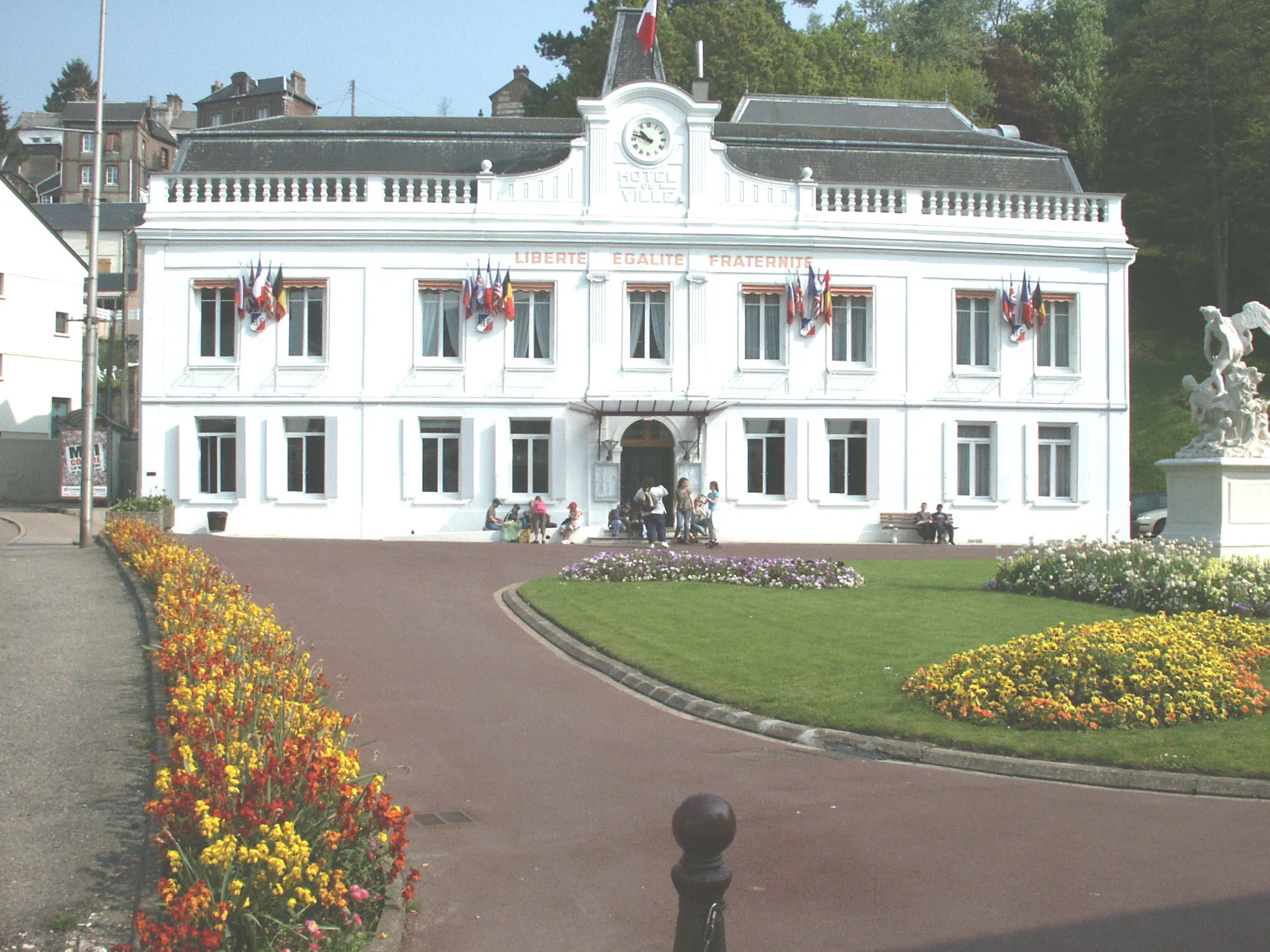
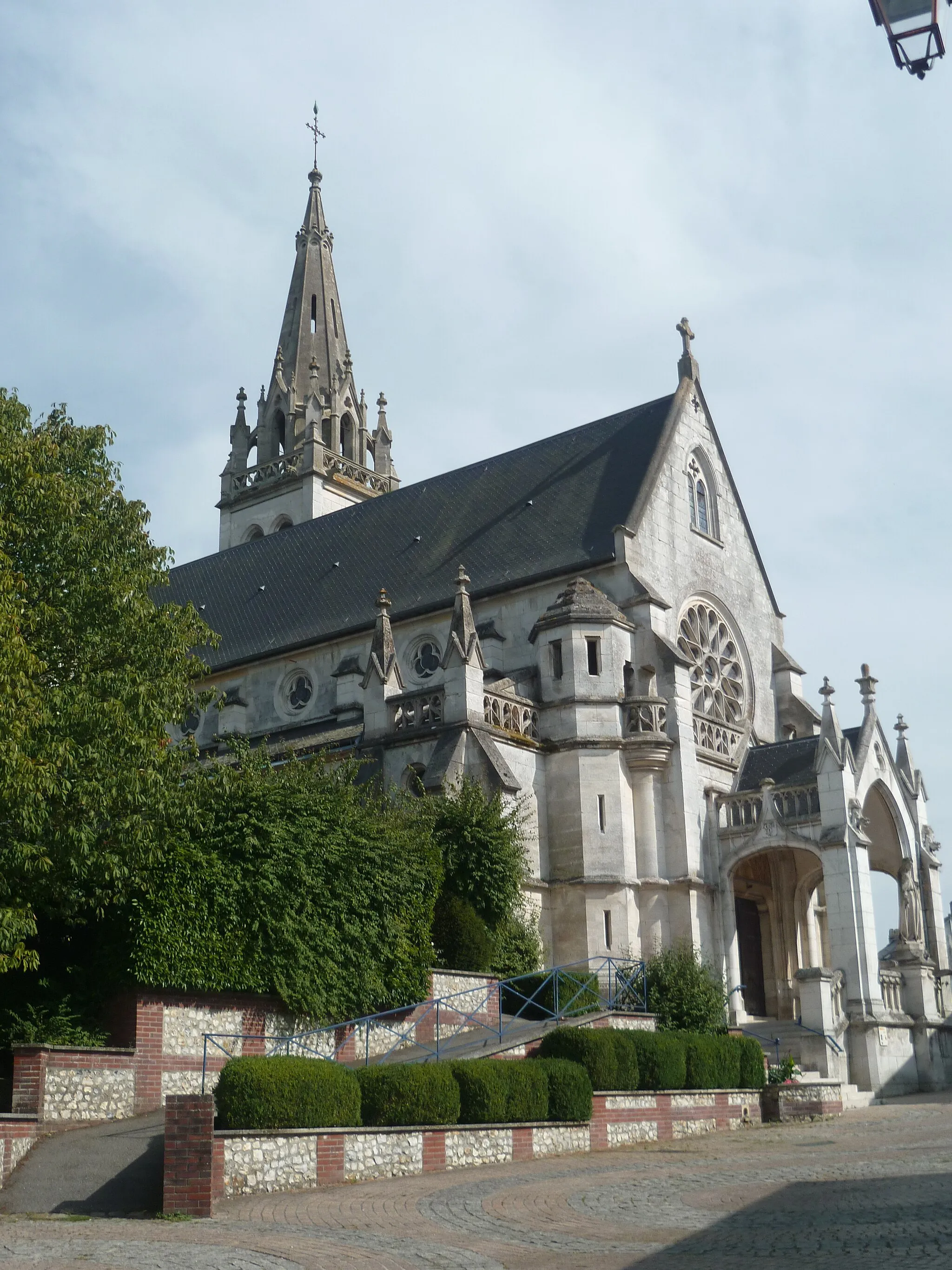
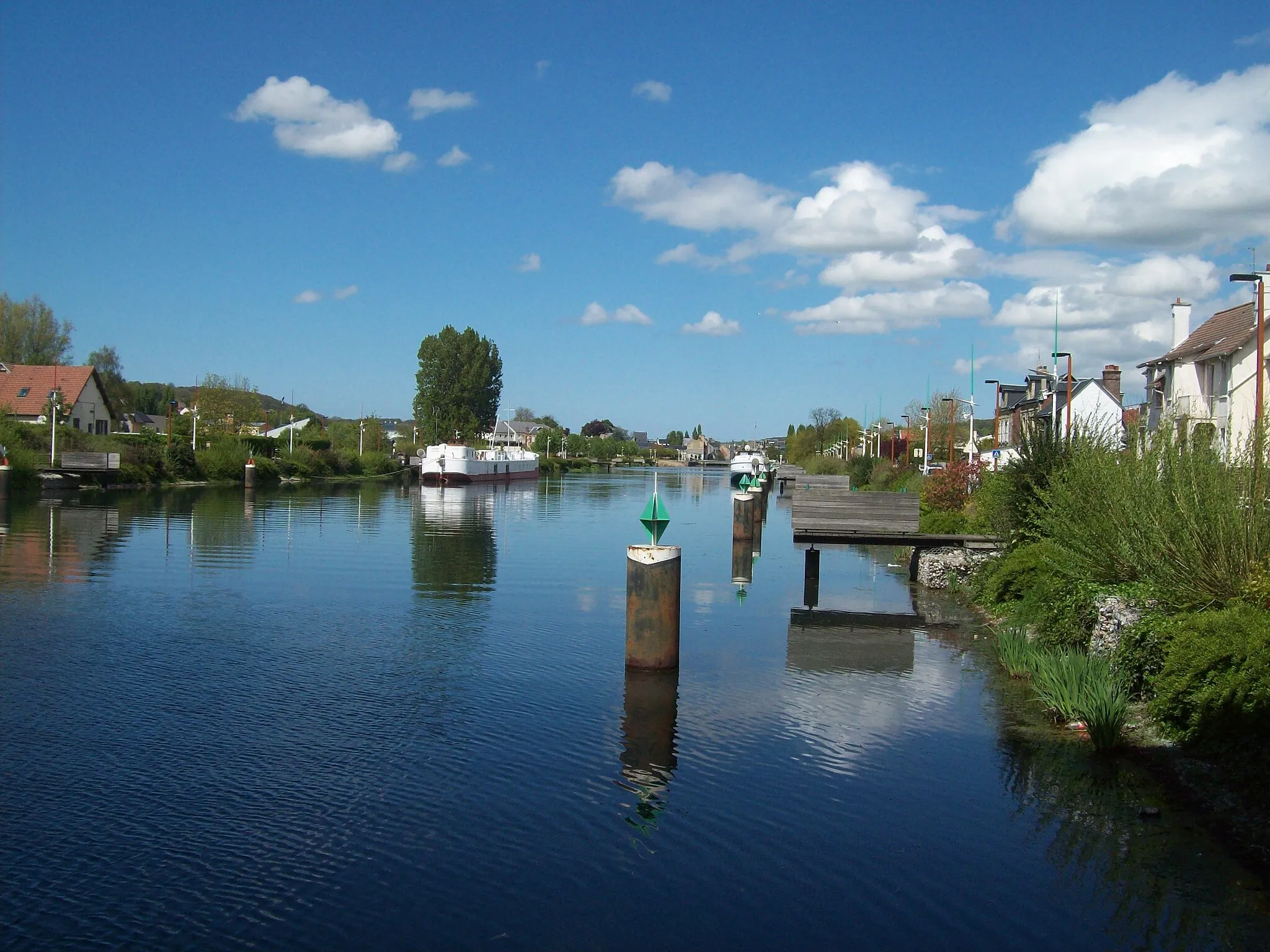
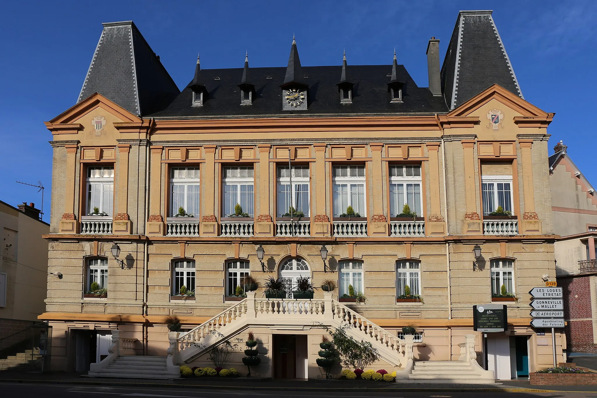
MontivilliersTownVisit Montivilliers, a charming town known for its history and traditional architecture.
37 km
37 km
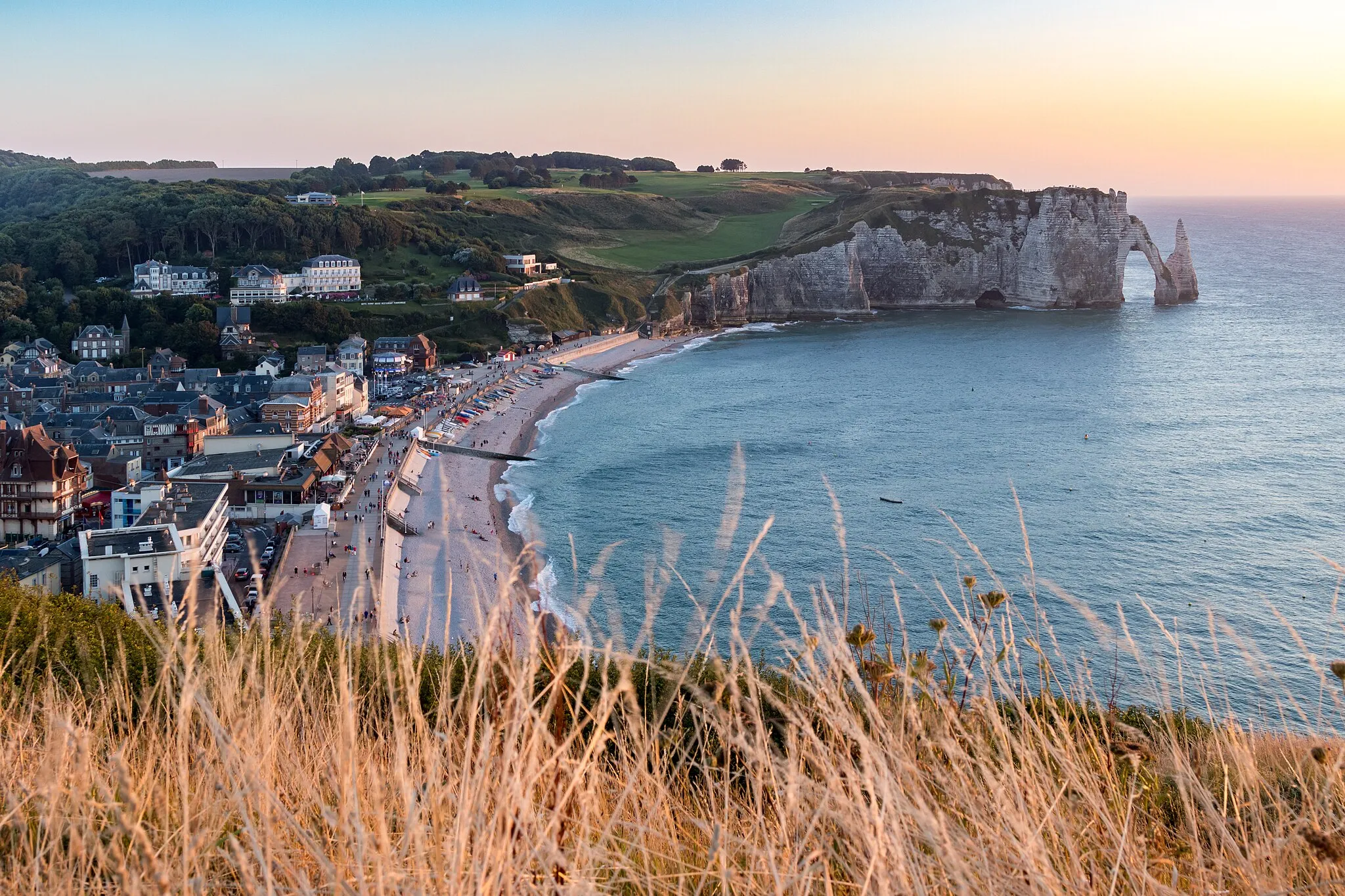
Porte d'AvalViewpointAdmire the majestic Porte d'Aval rock formation near Étretat.
37 km
37 km
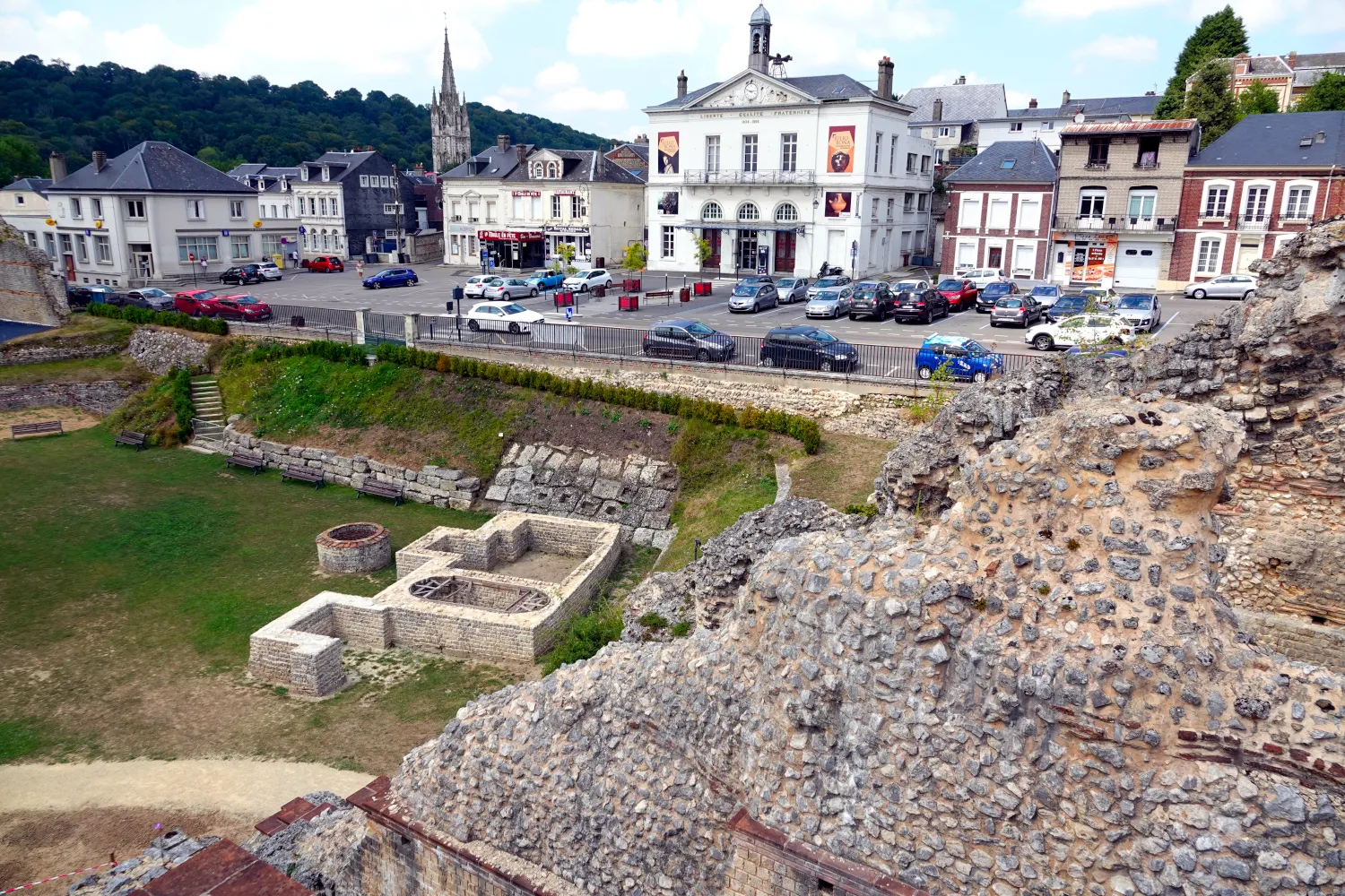
ÉtretatVillageWitness the iconic cliffs of Étretat, a UNESCO World Heritage Site.
59 km
59 km
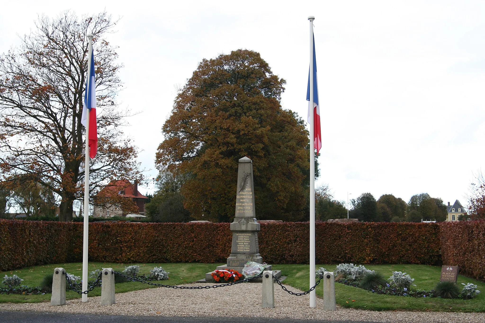
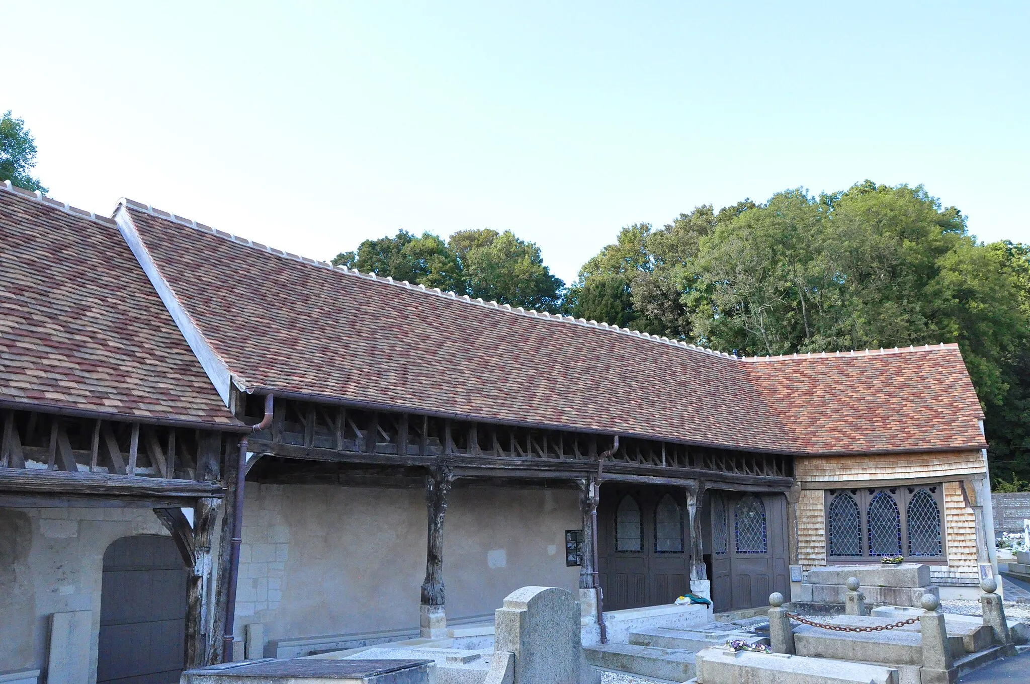
Bretteville-du-Grand-CauxVillageExplore Bretteville-du-Grand-Caux and immerse yourself in its authentic Norman atmosphere.
70 km
70 km
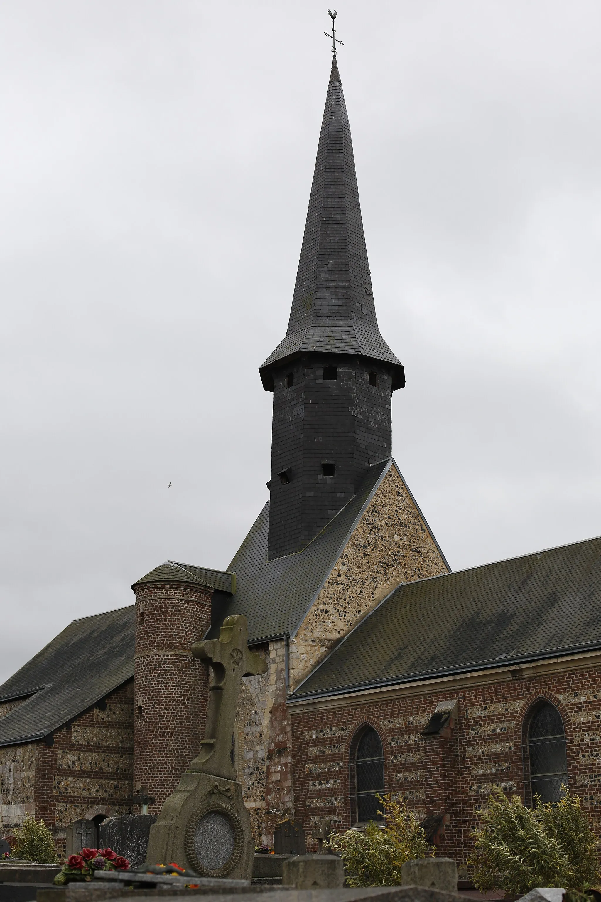
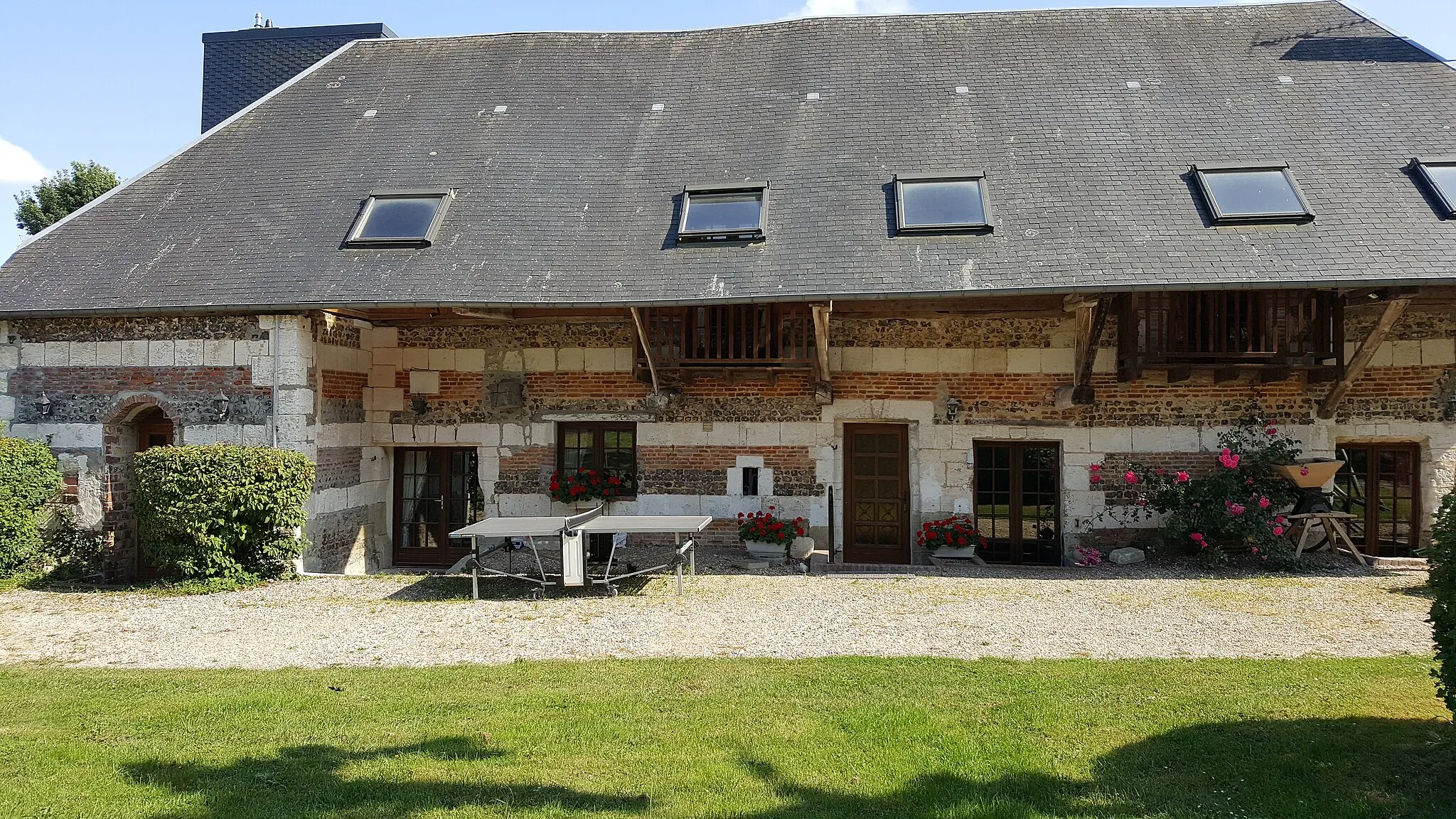
Saint-Gilles-de-la-NeuvilleHamletDiscover the natural beauty of Saint-Gilles-de-la-Neuville and enjoy the peaceful surroundings.
76 km
76 km
Finish: Saint-Romain-de-Colbosc Village centerSaint-Romain-de-Colbosc: A peaceful rural village in Haute-Normandie, France
Cycling routes nearby: