Exploring the Southern Suburbs
A gravel cycling route starting from Chevilly-Larue
Embark on a gravel journey through the charming southern suburbs near Chevilly-Larue.
Map
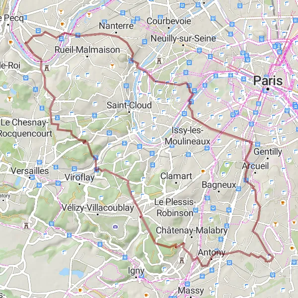
Discover the beauty of the southern suburbs of Ile-de-France with this 64-kilometer long gravel route. With an ascent of 641 meters, this intermediate-level route will take you through fascinating places like Chatenay-Malabry and Malakoff. Enjoy scenic views from Ballon Generali de Paris and explore the natural landscapes of Chaville. Rated as a 4 in difficulty and a 3 in epicness, this gravel route showcases the diverse landscapes and cultural heritage of the region.
gravel
64 km
641 m
Tough
Route profile
Highlights on the route
0 km
0 km
Start: Rungis Village centerChevilly-Larue: Discover peaceful suburbs and tackle the renowned Côte d'Orgeval
Chevilly-Larue is a town located in the Ile-de-France region of France. As a cyclist, you'll find a mix of flat and rolling terrain in the area. Chevilly-Larue is surrounded by peaceful suburbs and scenic landscapes, offering pleasant routes for rides of all distances. For those looking for a challenge, the famous climb of Côte d'Orgeval is nearby. With its cycling-friendly atmosphere and accessible roads, Chevilly-Larue is a suitable choice for both leisurely and more adventurous cycling journeys.8 km
8 km
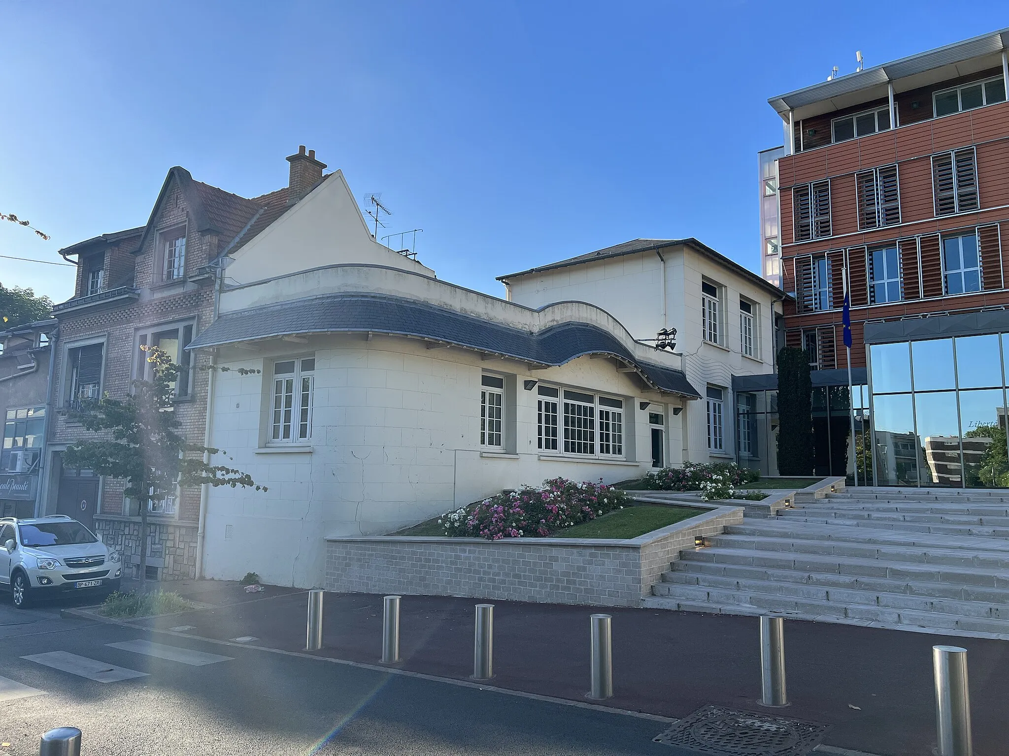
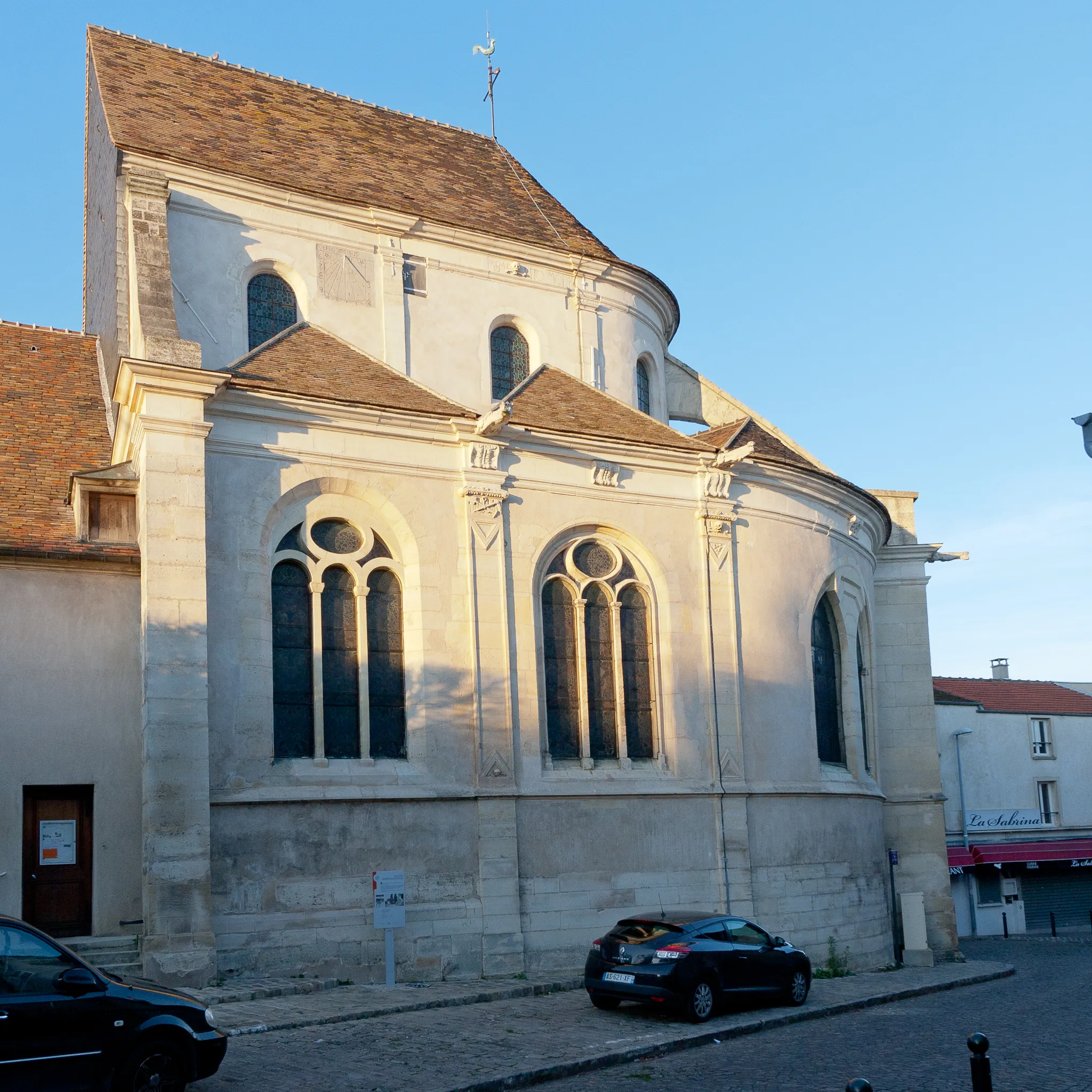
Châtenay-MalabryTownChâtenay-Malabry is a green suburb with numerous parks and gardens, providing a refreshing environment for gravel cyclists.
9 km
9 km
Table d'Orientation de la ChataigneraieViewpointTable d'Orientation de la Chataigneraie offers stunning views of the surrounding forests and is a perfect spot to rest and enjoy the natural beauty of the region.
14 km
14 km
Perspective du ParcViewpointPerspective du Parc provides a unique viewpoint overlooking a beautiful park, allowing you to appreciate the harmony between nature and architecture.
19 km
19 km
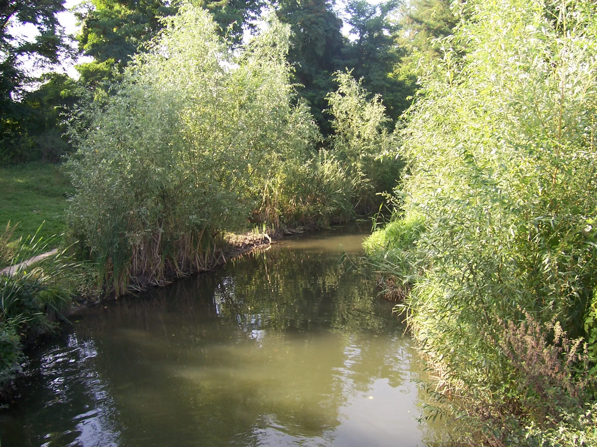
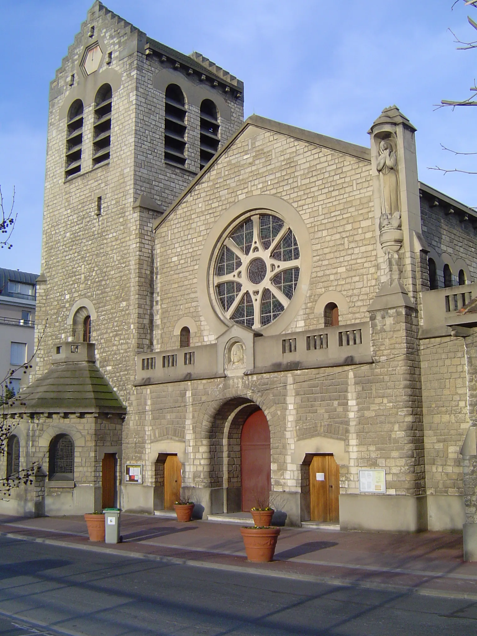
ChavilleTownChaville is known for its beautiful green spaces, including Parc de Saint-Cucufa, offering a peaceful setting for cyclists to enjoy during their gravel adventure.
36 km
36 km
Dourm's terterViewpointDourm's terter is an interesting geological formation with a unique combination of rocks, providing an intriguing highlight along the route.
39 km
39 km
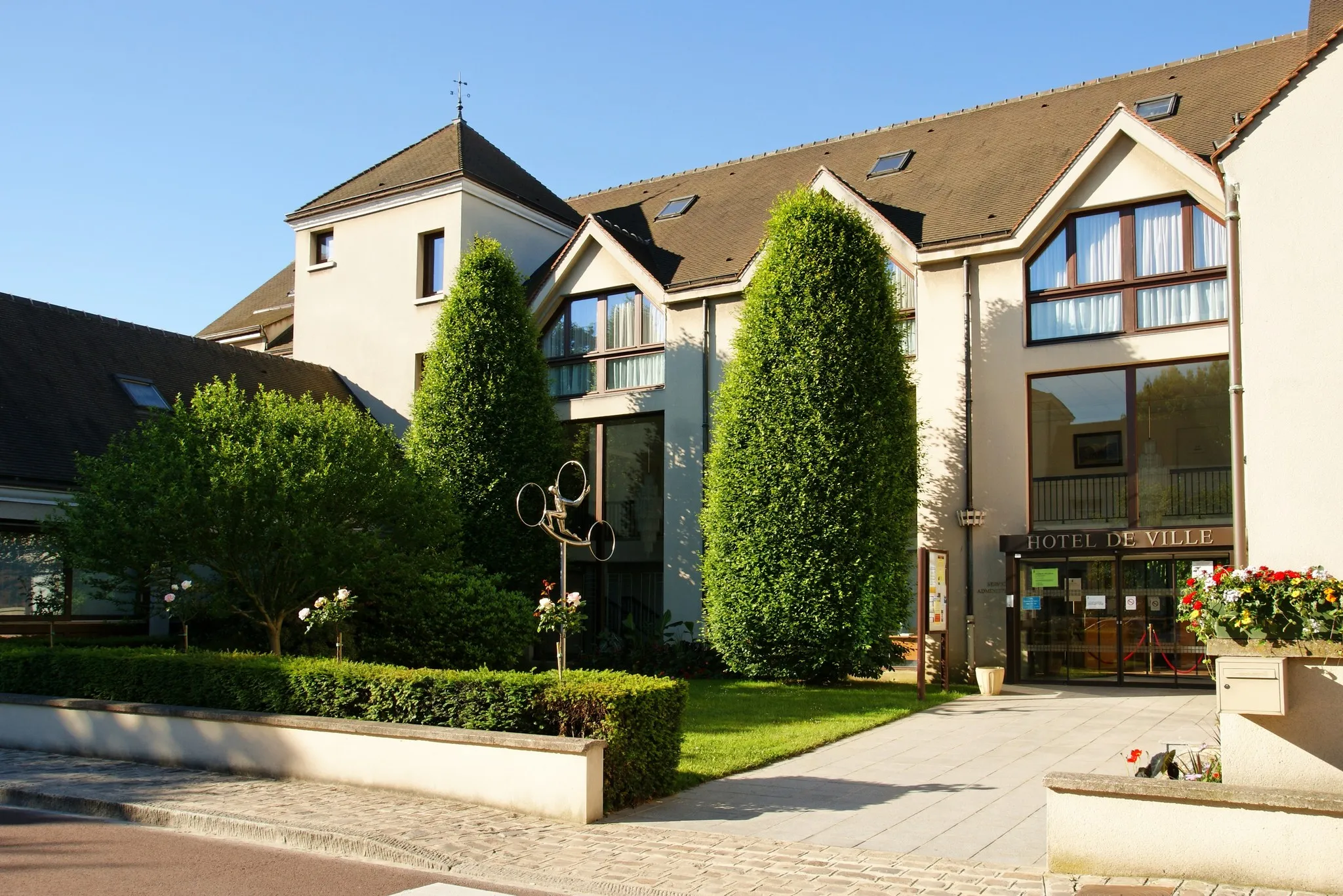
NanterreTownNanterre offers a blend of modern architecture and historical sites, showcasing the contrast between tradition and contemporary design.
48 km
48 km
Ballon Generali de ParisViewpointBallon Generali de Paris is a hot air balloon located on the Parc André Malraux, offering a thrilling experience with panoramic views of the suburbs.
51 km
51 km
MalakoffTownMalakoff is a vibrant and diverse city with an interesting mix of architectural styles, creating a unique backdrop for your gravel ride.
57 km
57 km
Talus HardenbergViewpointTalus Hardenberg is a historical site known for its large stone terraces, which were built for private gardens and provide a picturesque setting for cyclists.
59 km
59 km
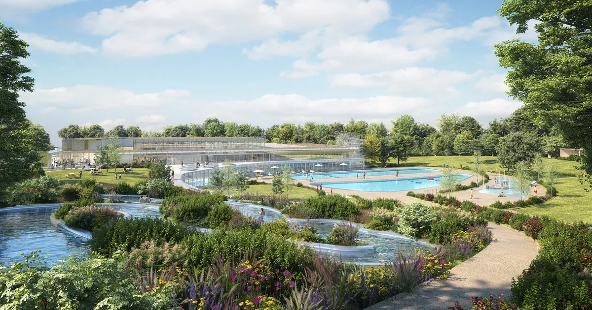
L'Haÿ-les-RosesTownL'Haÿ-les-Roses is a charming commune with its beautiful rose garden and relaxed atmosphere, offering a pleasant break during your gravel adventure.
64 km
64 km
Finish: Rungis Village centerChevilly-Larue: Discover peaceful suburbs and tackle the renowned Côte d'Orgeval
Cycling routes from Chevilly-Larue:
Gravel Fun in the Surrounding Villages Exploring the Southern Suburbs Discovering Nature in the Suburbs Scenic Ride Along the Rivers Exploring the Western Suburbs Chevilly-Larue Gravel Ride Chevilly-Larue Road Adventure Chevilly-Larue Legendary Challenge Historic Villages and Royal palaces Chevilly-Larue City Tour
Cycling routes nearby: