Villevaudé Explorer
A gravel cycling route starting from Clichy-sous-Bois
Discover the scenic landscapes of Villevaudé.
Map
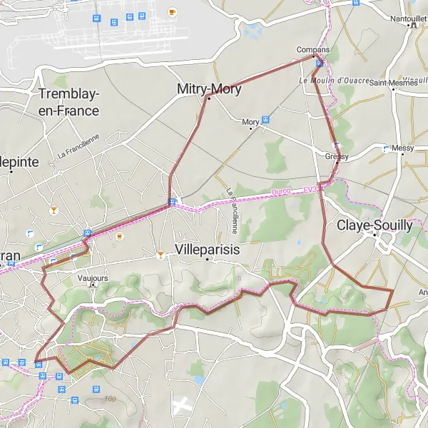
Embark on a 41 km gravel cycling route near Clichy-sous-Bois, with an ascent of 239 meters. The route offers a moderate difficulty level, suitable for cyclists with some experience. Explore highlights including Mitry-Mory, Villevaudé, and Courtry. This route offers picturesque views and idyllic surroundings, making it a pleasant choice for a leisurely ride.
gravel
41 km
239 m
Chill
Route profile
Highlights on the route
0 km
0 km
Start: Clichy-sous-Bois City centerClichy-sous-Bois: Use Clichy-sous-Bois as a starting point to explore the nearby cycling routes.
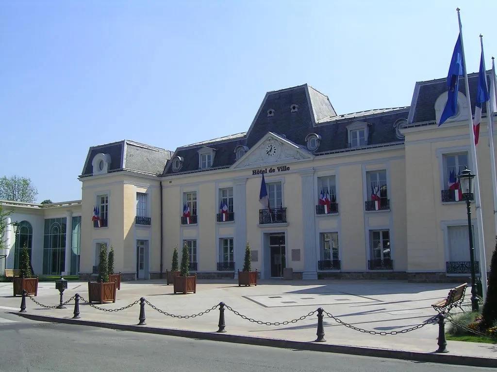
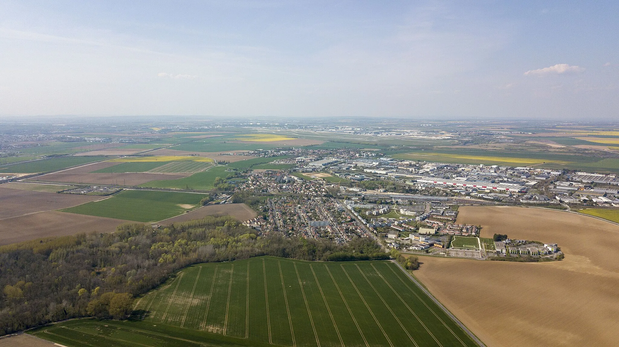
Clichy-sous-Bois, located in the Ile-de-France region of France, offers limited cycling opportunities. The town is mainly residential with few designated cycling paths or routes. However, cyclists can access nearby attractions and cycling areas through alternative routes, such as the Cycle Route A86 or the nearby Bois de Vincennes. Additionally, Clichy-sous-Bois is close to regional parks and forests, providing natural landscapes for leisurely rides. While not a cycling-centric destination, Clichy-sous-Bois can serve as a starting point for exploring the larger cycling network in the surrounding Ile-de-France region.12 km
12 km
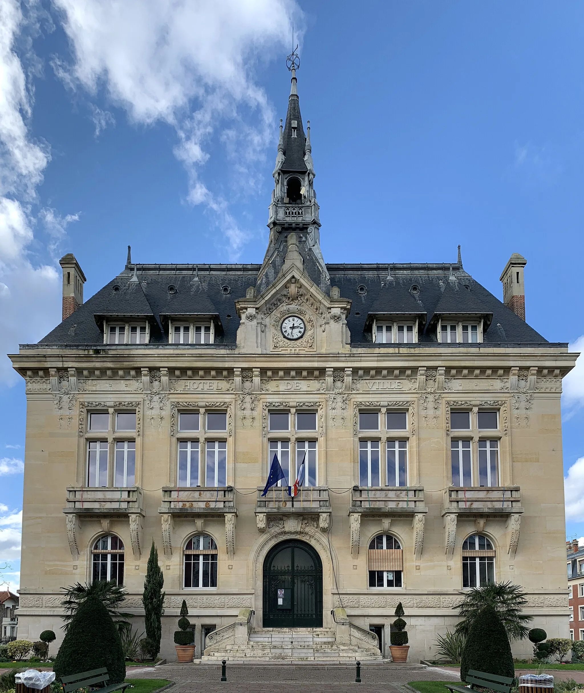
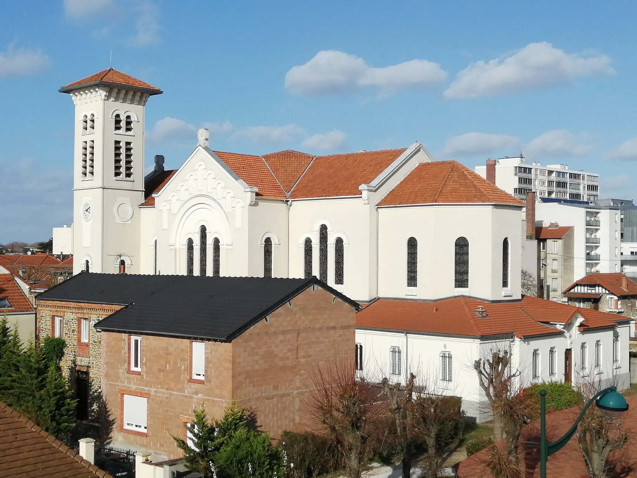
Mitry-MoryTownMitry-Mory, with its well-preserved heritage and quaint streets, provides a charming stopover on this cycling route.
29 km
29 km
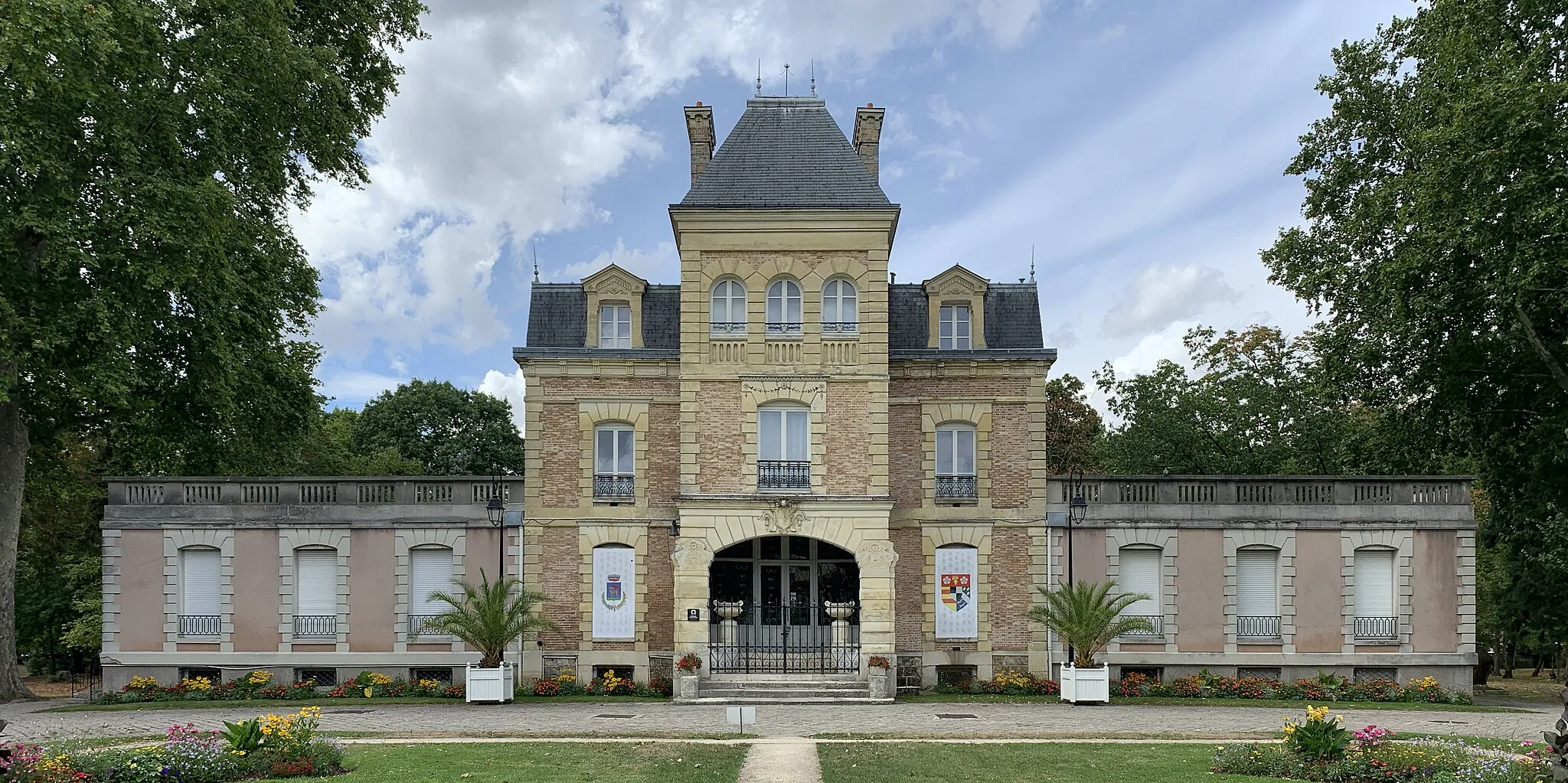
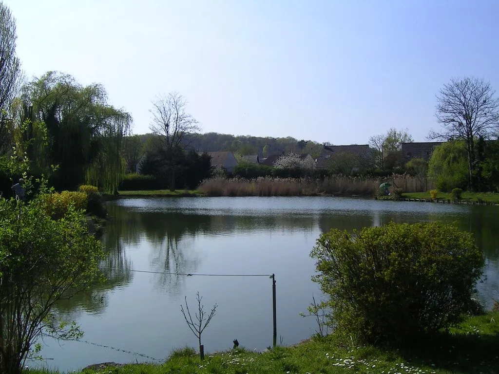
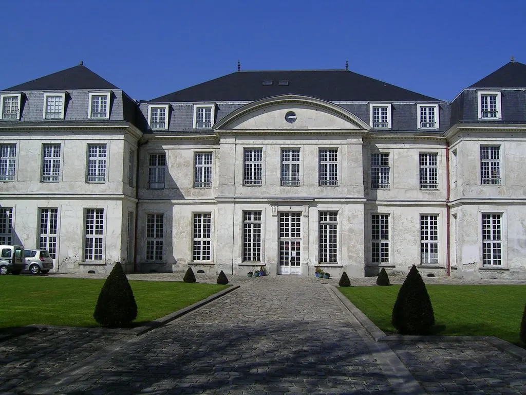
VillevaudéVillageVillevaudé boasts beautiful natural surroundings, including forests and meadows, offering a serene escape into nature.
35 km
35 km
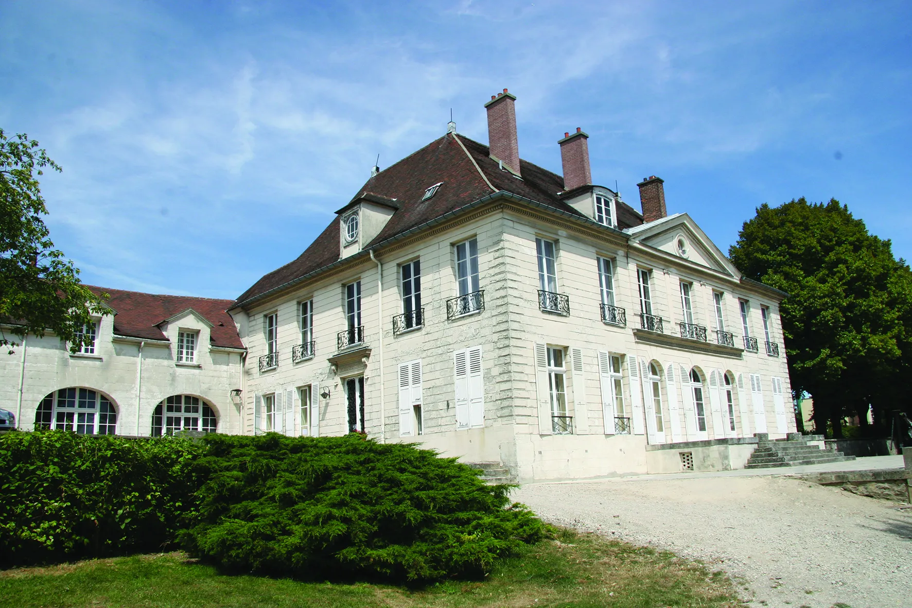
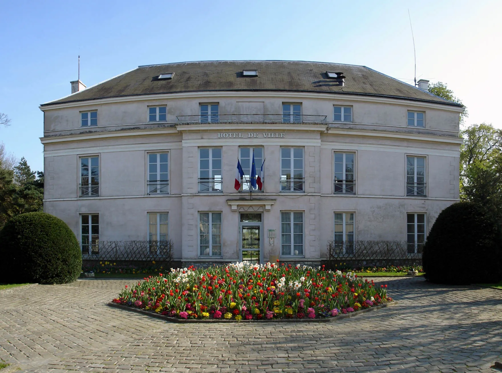
CourtryVillageCourtry, a tranquil village, is perfect for a coffee break or to learn about its rural history and architecture.
41 km
41 km
Finish: Clichy-sous-Bois City centerClichy-sous-Bois: Use Clichy-sous-Bois as a starting point to explore the nearby cycling routes.
Cycling routes nearby: