Estacade - Boissy-Saint-Léger Gravel Loop
A gravel cycling route starting from Creteil
A challenging gravel loop from Estacade to Boissy-Saint-Léger
Map
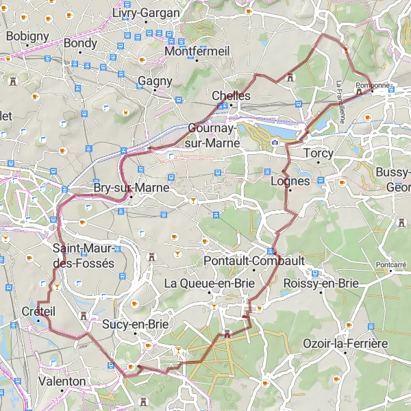
Embark on a challenging gravel loop from Estacade to Boissy-Saint-Léger. This 68 km route offers tough climbs and stunning natural beauty. The total ascent for this route is 209 meters.
gravel
68 km
209 m
Tough
Route profile
Highlights on the route
0 km
0 km
Start: Créteil City centerCréteil: Leisurely cycling in Créteil
Créteil is a town in the region of Ile-de-France, France. From a cyclist's perspective, Créteil offers moderate cycling opportunities with mainly flat terrain and some scenic routes. The town itself has a few dedicated cycling paths and streets, making it suitable for casual rides. However, there are no well-known cycling spots or famous climbs nearby. Overall, Créteil is a decent location for road and gravel cyclists who enjoy leisurely rides.0 km
0 km
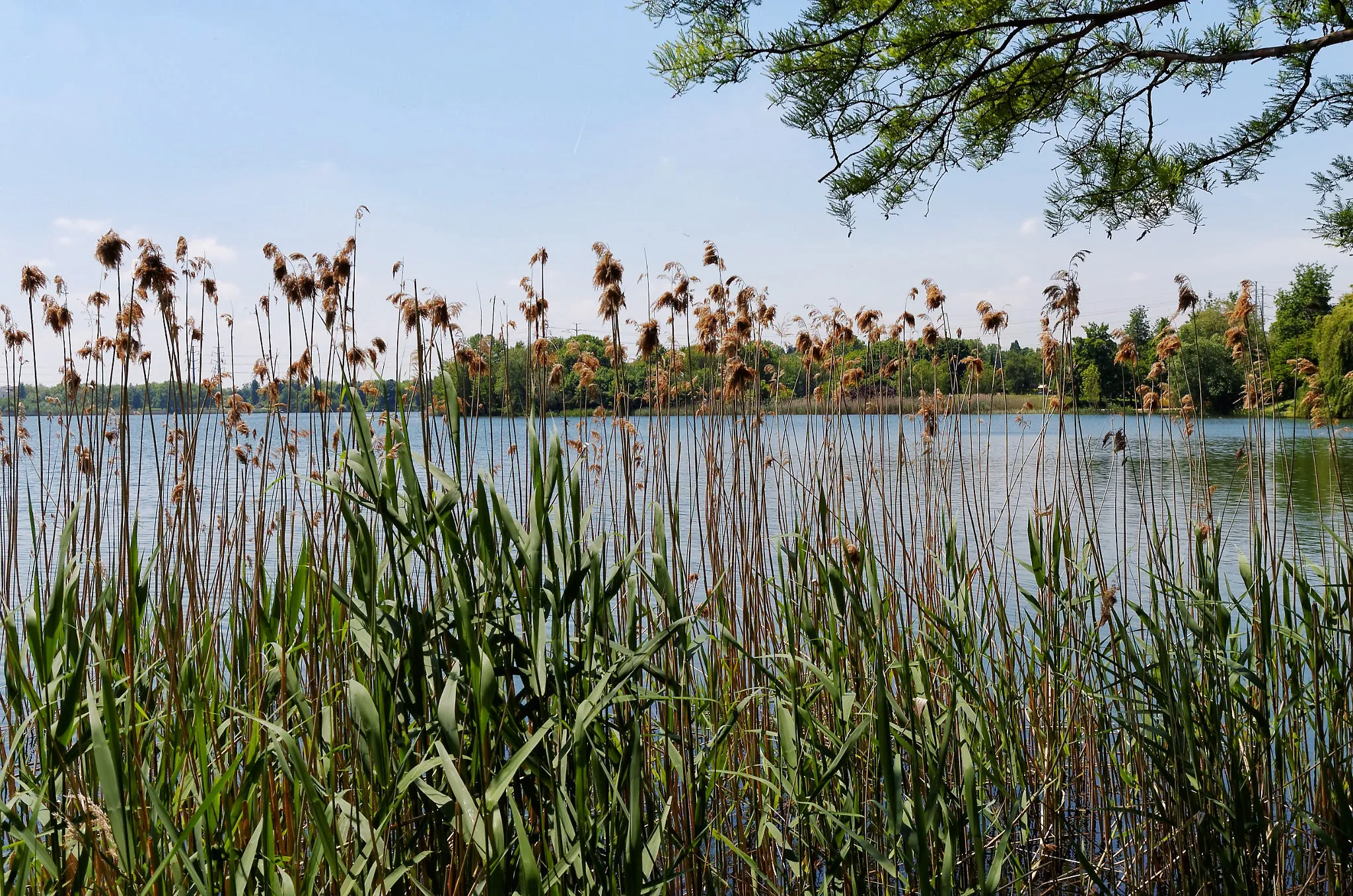
EstacadeViewpointStart your journey at Estacade and marvel at the beautiful views of the river and surrounding nature.
11 km
11 km
Bry-sur-MarneTownVisit Bry-sur-Marne and discover its historical landmarks, including its impressive castle.
16 km
16 km
Noisy-le-GrandTownExplore Noisy-le-Grand and its modern architecture, including the iconic Les Arcades shopping center.
32 km
32 km
PomponneVillageStop by Pomponne, a charming village known for its picturesque streets and idyllic countryside.
41 km
41 km
LognesTownPass through Lognes and enjoy its peaceful parks and green spaces.
61 km
61 km
Boissy-Saint-LégerTownDiscover the beauty of Boissy-Saint-Léger, a small town with charming streets and a vibrant atmosphere.
68 km
68 km
Table d'OrientationViewpointReach the Table d'Orientation and soak in the breathtaking panoramic views of the surrounding countryside.
68 km
68 km
Finish: Créteil City centerCréteil: Leisurely cycling in Créteil
Cycling routes from Creteil:
Créteil to Limeil-Brévannes Loop Créteil to Mont-Mesly Loop Maisons-Alfort - Bobigny Gravel Loop Champigny-sur-Marne - Sucy-en-Brie Gravel Loop Estacade - Boissy-Saint-Léger Gravel Loop Créteil to Ozoir-la-Ferrière Gravel Ride Créteil to Villecresnes Loop Estacade - Thiais Gravel Loop Créteil to Mont-Mesly and Lagny-sur-Marne Loop Paris - Saint-Maur-des-Fossés Road Loop
Cycling routes nearby: