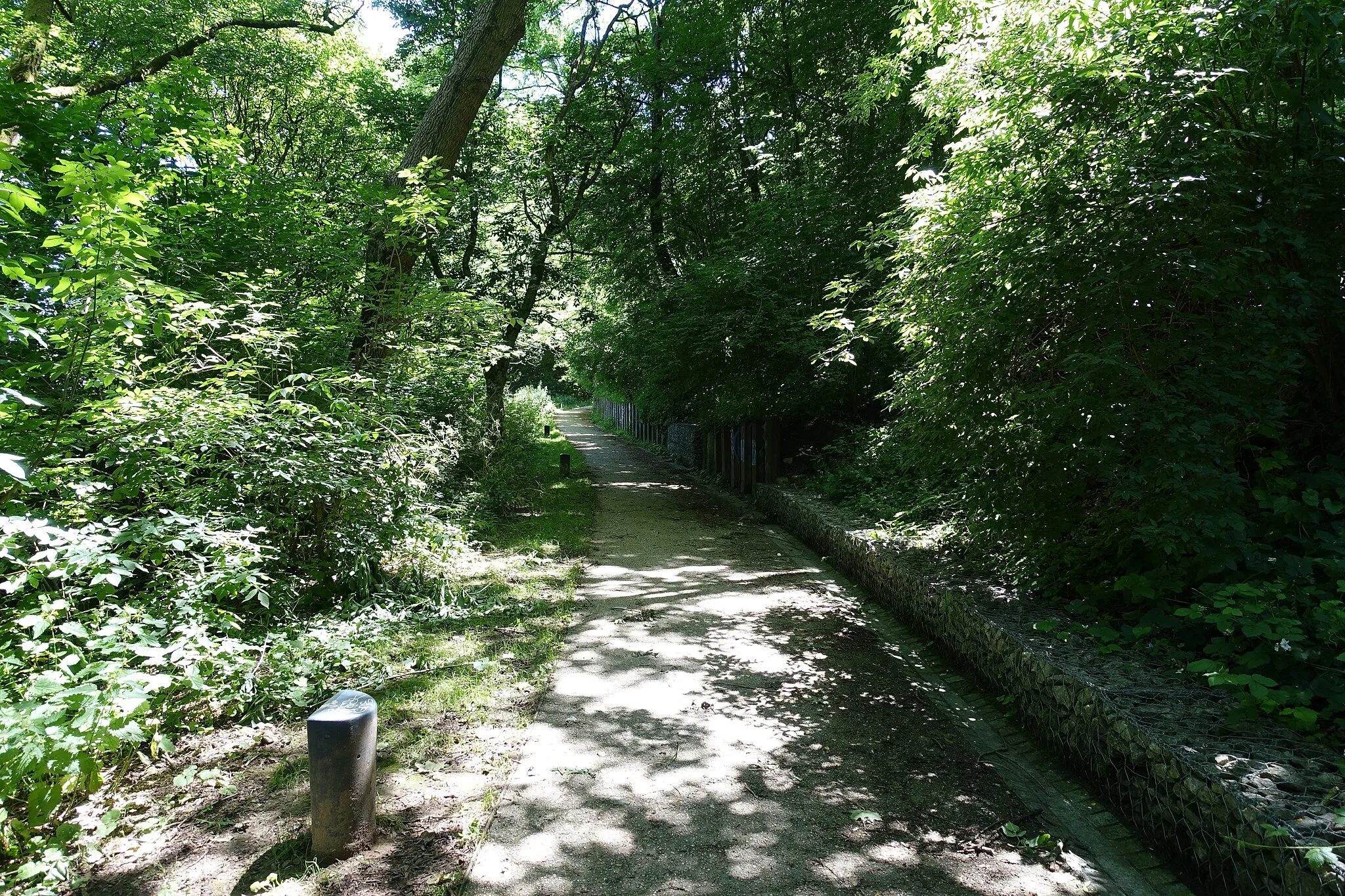
Exploring the Canal de l'Ourcq and beyond.
Cycling routes from Drancy
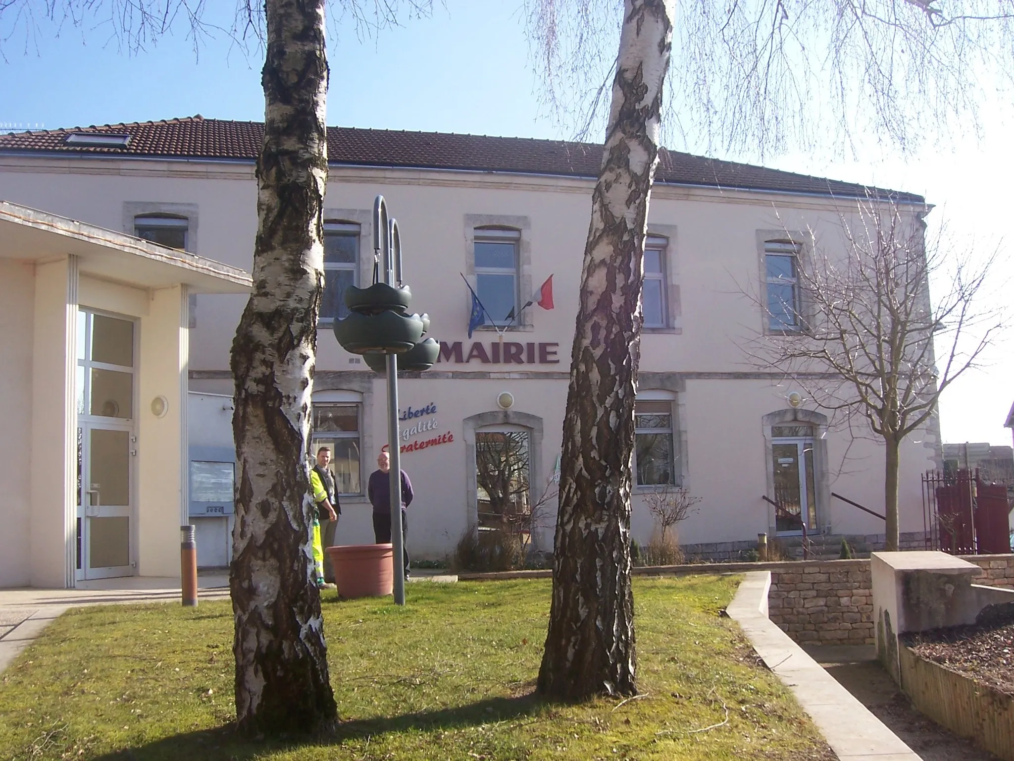
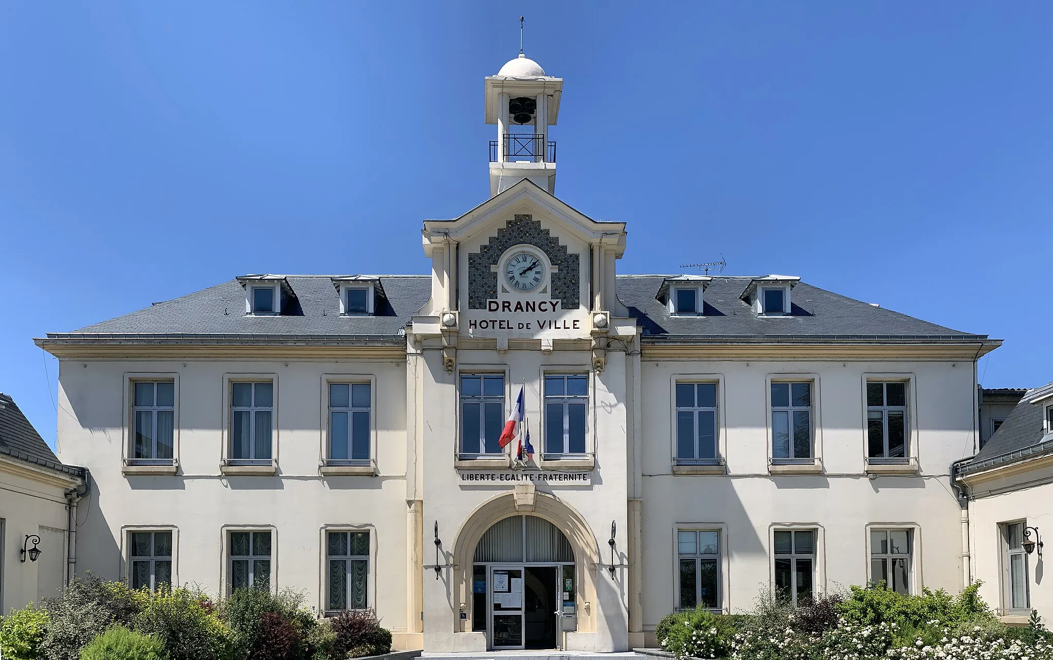
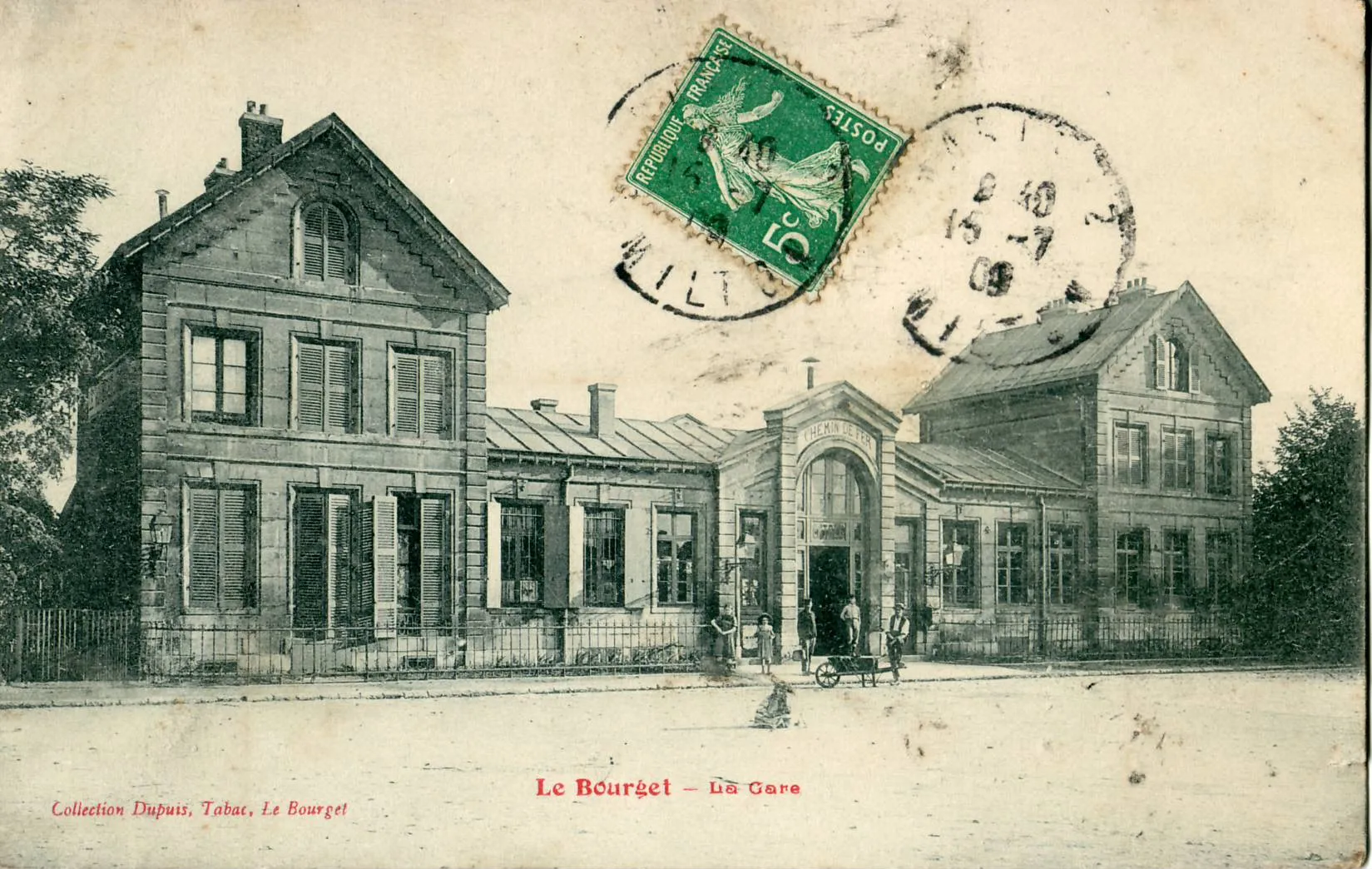
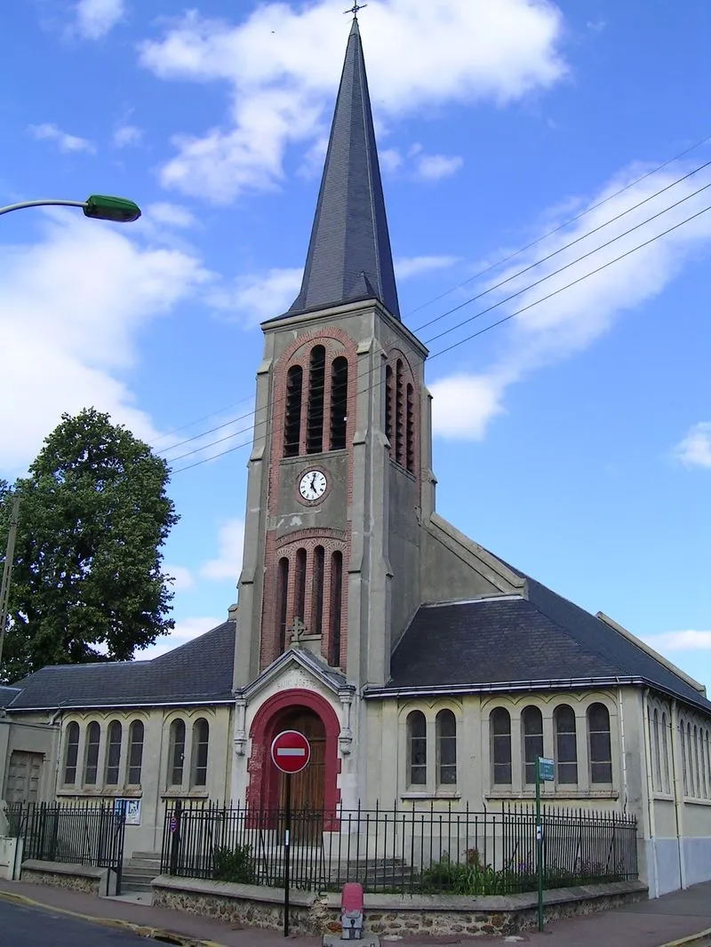
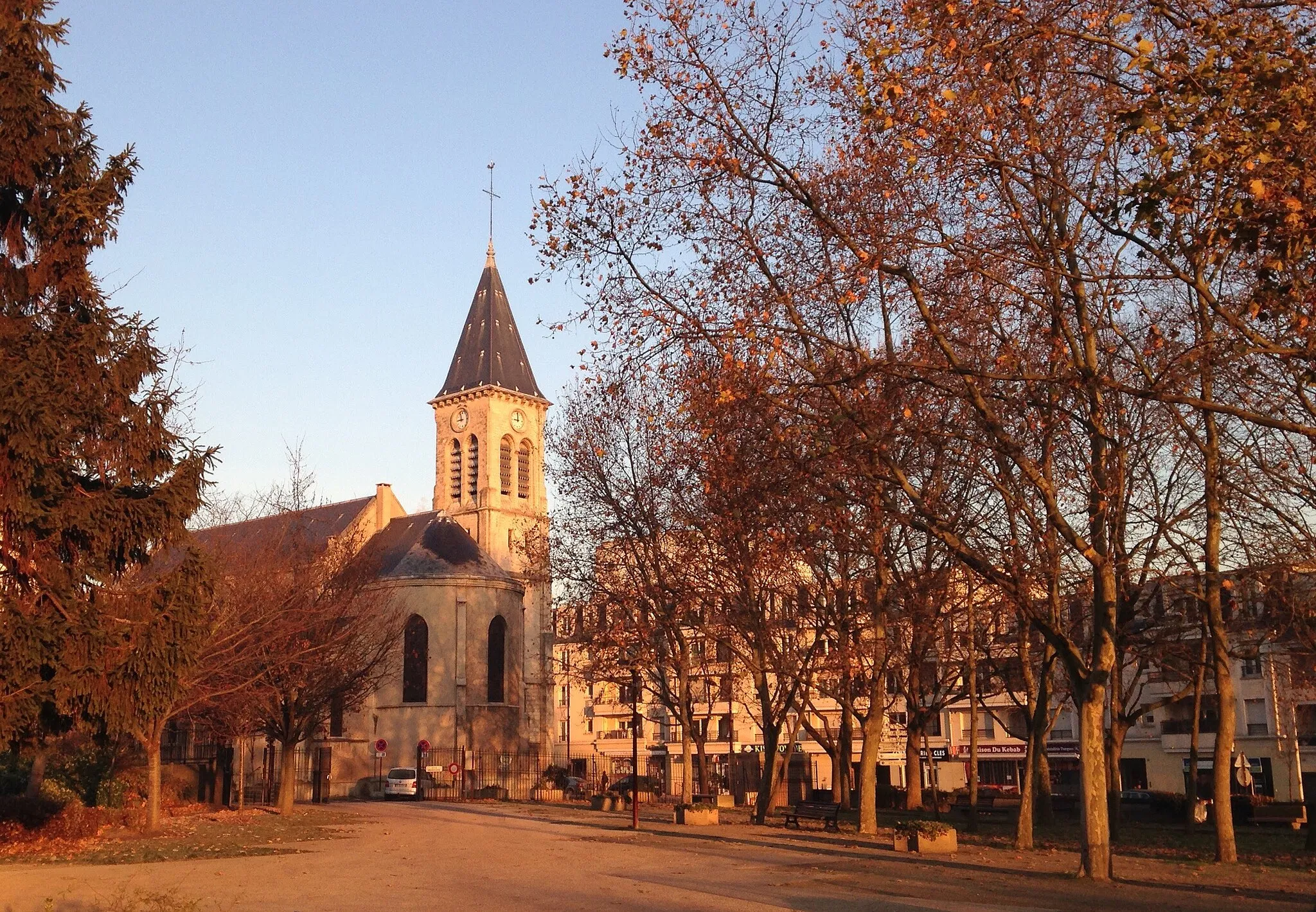
Drancy is a town located in the Ile-de-France region of France. From a cyclist's perspective, Drancy is mostly an urban area with limited cycling infrastructure. The town itself doesn't offer dedicated bike lanes or paths, making it less bike-friendly compared to other localities. However, cyclists can explore nearby areas such as the Canal de l'Ourcq which provides scenic routes along the waterway. Drancy may not be the most popular destination for cycling enthusiasts, but it can serve as a starting point for rides to more appealing cycling areas in the region.
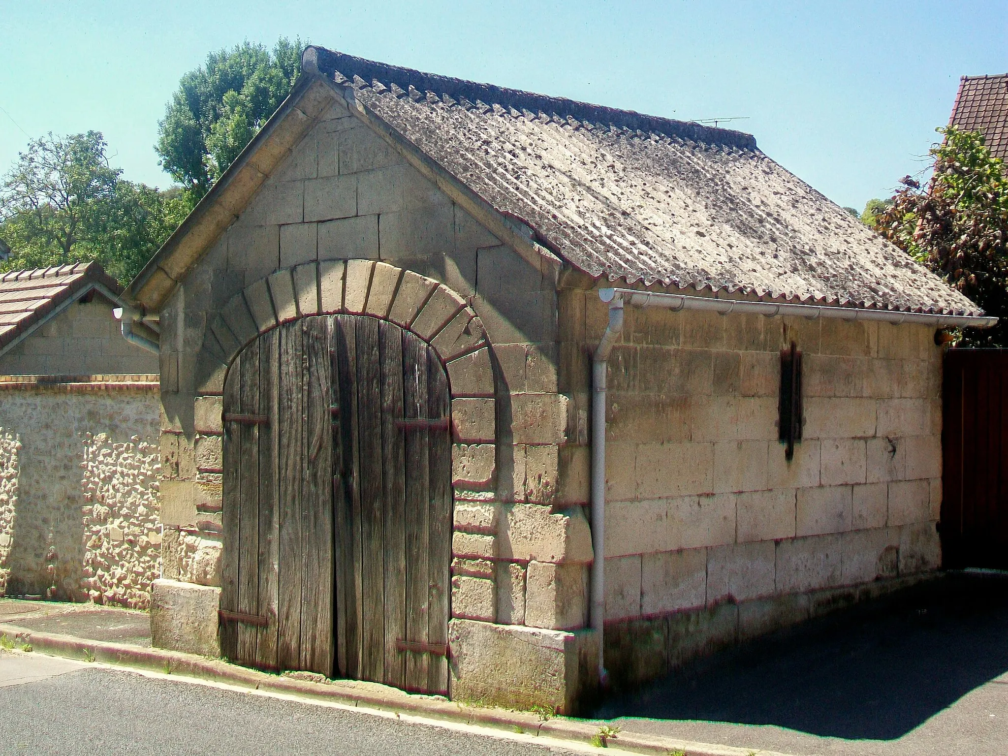
Discover the charm of Les Pavillons-sous-Bois on this road cycling route near Drancy
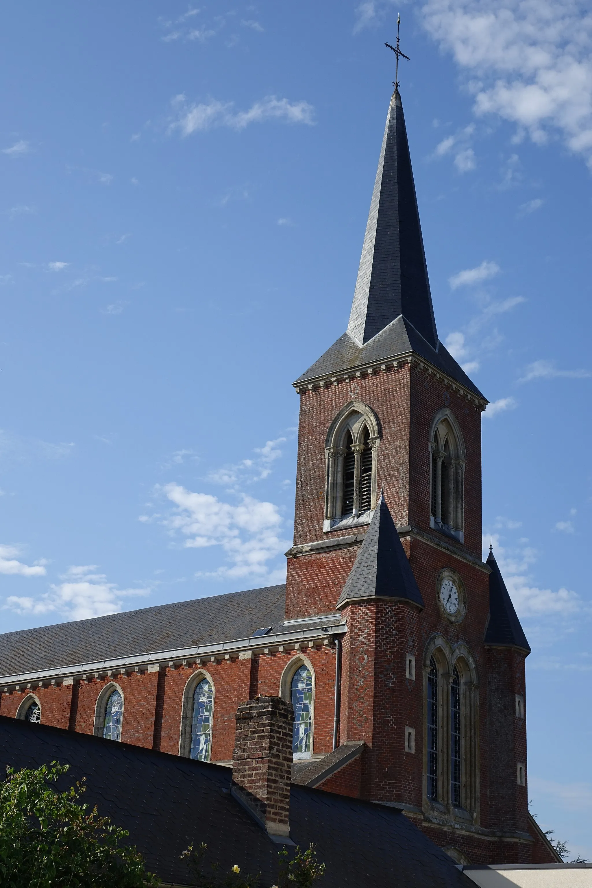
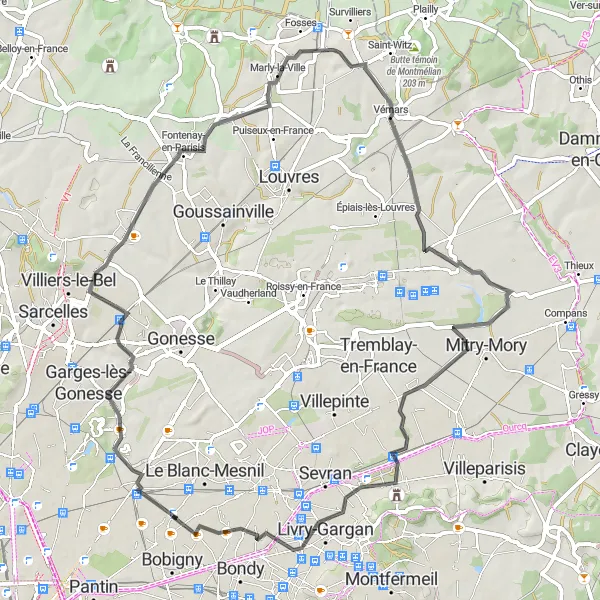
This road cycling route offers a scenic journey through various towns and provides a glimpse into the charm of Les Pavillons-sous-Bois. Starting in Drancy, the route takes you through Dugny, Bouqueval, Marly-la-Ville, Vémars, Mitry-Mory, and Les Pavillons-sous-Bois. Each town offers unique attractions and beautiful landscapes, creating a diverse and enjoyable cycling experience. The overall distance of the route is 67 kilometers, with a total ascent of 258 meters.
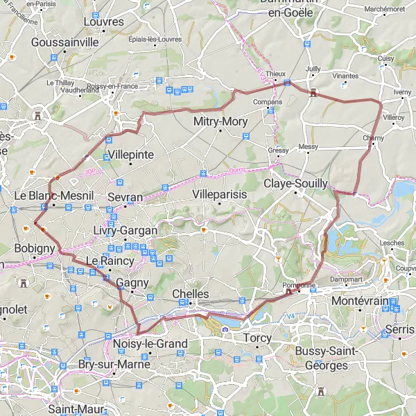
From Drancy to Vaires-sur-Marne
Discover the tranquil beauty of Vaires-sur-Marne on this road cycling route near Drancy
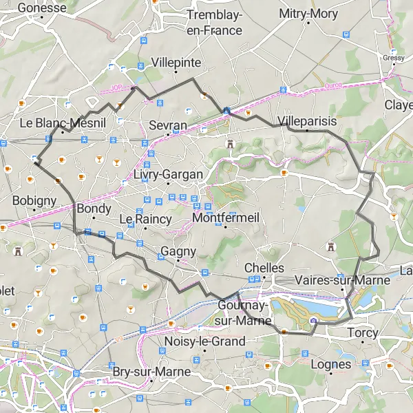
This road cycling route offers a shorter and less challenging option for riders who want to enjoy a ride with beautiful scenery. Starting in Drancy, the route takes you through Le Blanc-Mesnil and Villepinte before reaching Vaires-sur-Marne, a tranquil town situated along the Marne River. The overall distance of the route is 51 kilometers, with a total ascent of 193 meters.
Experience the diversity of Pontault-Combault and Villejuif on this road cycling route near Drancy
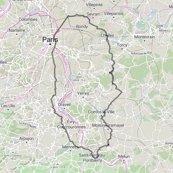
This road cycling route offers a diverse journey through various towns and landscapes. Starting in Drancy, the route takes you through Le Blanc-Mesnil, Point de vue sur l'ancienne carrière du Beauzet, Pontault-Combault, Chevry-Cossigny, Moissy-Cramayel, Saint-Fargeau-Ponthierry, Grigny, and Villejuif. Each of these towns has its own characteristics and attractions, giving riders the opportunity to experience the diversity of the region. The overall distance of the route is 134 kilometers, with a total ascent of 557 meters.
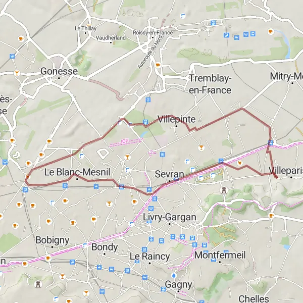
Embark on a scenic gravel route from Drancy to Sevran.
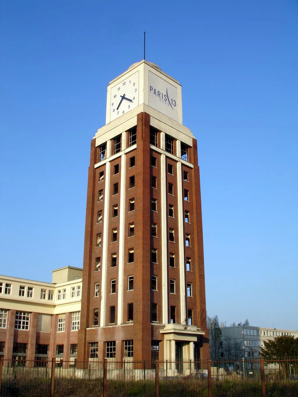
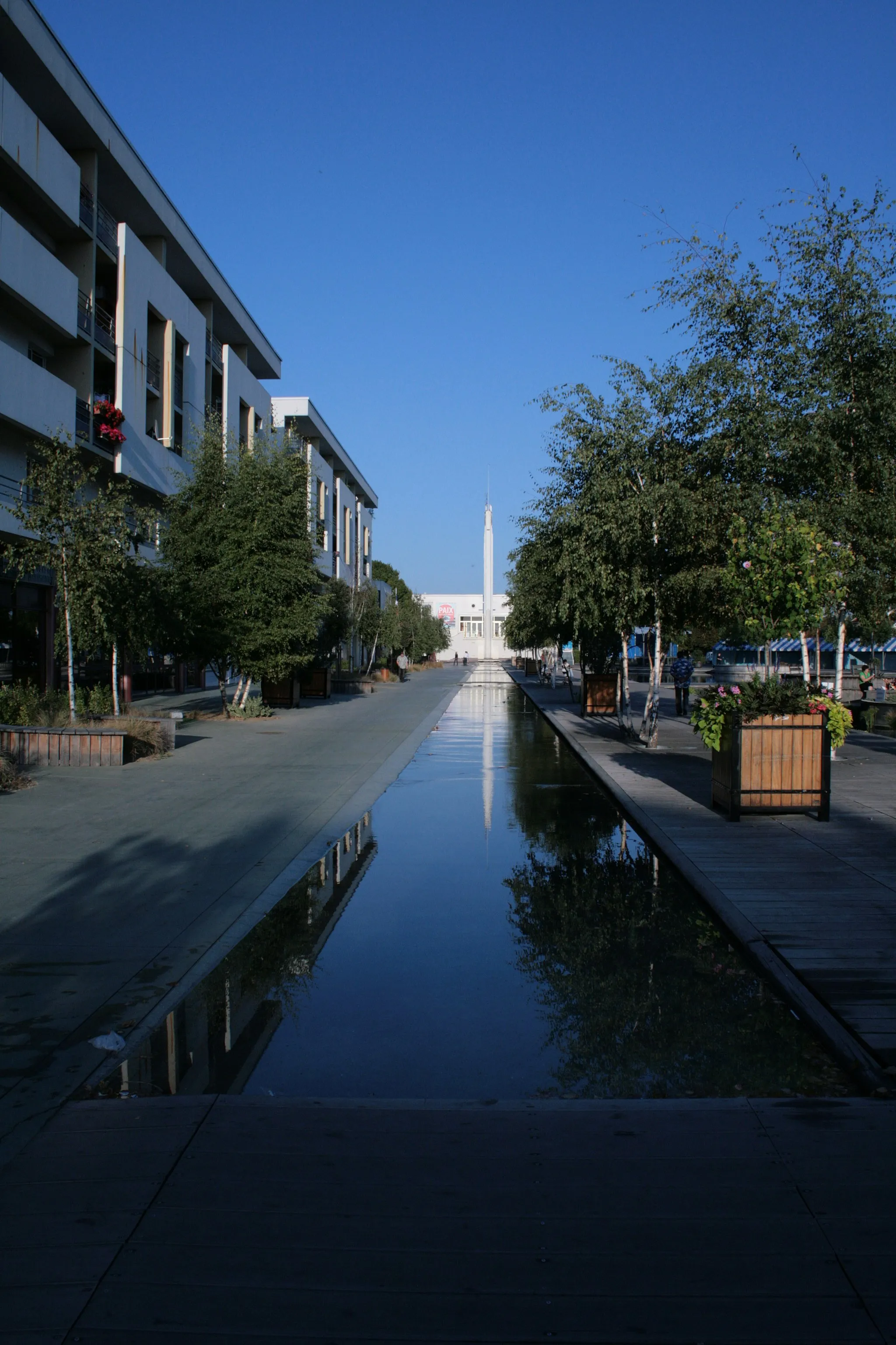
This round-trip gravel route takes you through diverse landscapes and charming villages. With a total distance of 34 kilometers and an ascent of 95 meters, the route is suitable for riders of all levels. Highlights along this route include the Ariane 1, a historic space rocket, and the town of Villepinte with its traditional architecture.
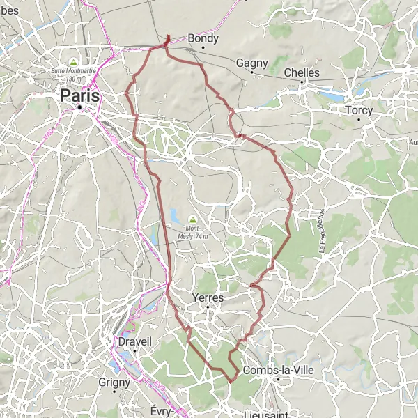
Embark on a challenging gravel journey from Drancy to Montgeron.
This gravel route offers a challenging ride from Drancy to Montgeron. With a distance of 75 kilometers and an ascent of 365 meters, this route is recommended for experienced riders. Highlights along the way include Vallée du Morbras, known for its natural beauty and tranquility, and the iconic Montgeron with its historic architecture.
Drancy to Bobigny Gravel Route
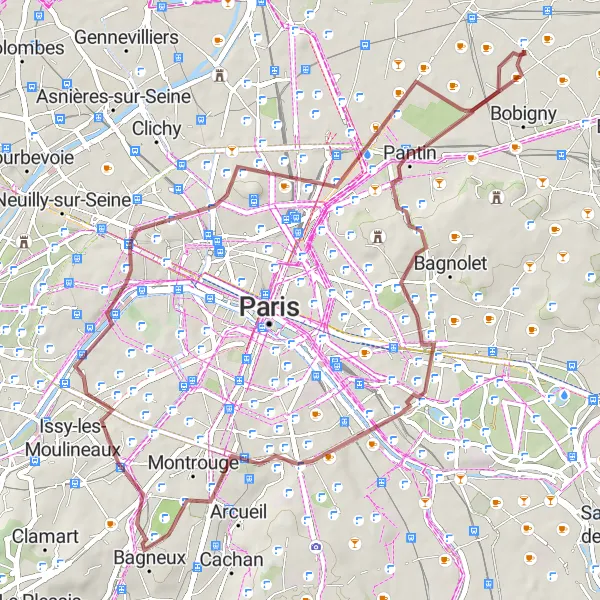
Explore the scenic gravel route from Drancy to Bobigny.
This round-trip gravel route starts in Drancy and takes you through picturesque landscapes and charming villages. With a total distance of 50 kilometers and an ascent of 380 meters, the route is suitable for intermediate riders. The highlights along this route include Bagnolet, known for its lively atmosphere, and the famous Tour Eiffel.
Embark on a gravel adventure to explore the hidden gems and cultural treasures near Drancy!
This round-trip cycling route starting near Drancy takes you through a 56 km gravel path that combines scenic beauty with cultural highlights. Pedal your way through charming towns, picturesque landscapes, and historic sites. With a moderate ascent of 174 meters, this route is suitable for very well-trained amateur cyclists. It offers a delightful journey for gravel enthusiasts seeking both adventure and cultural exploration.
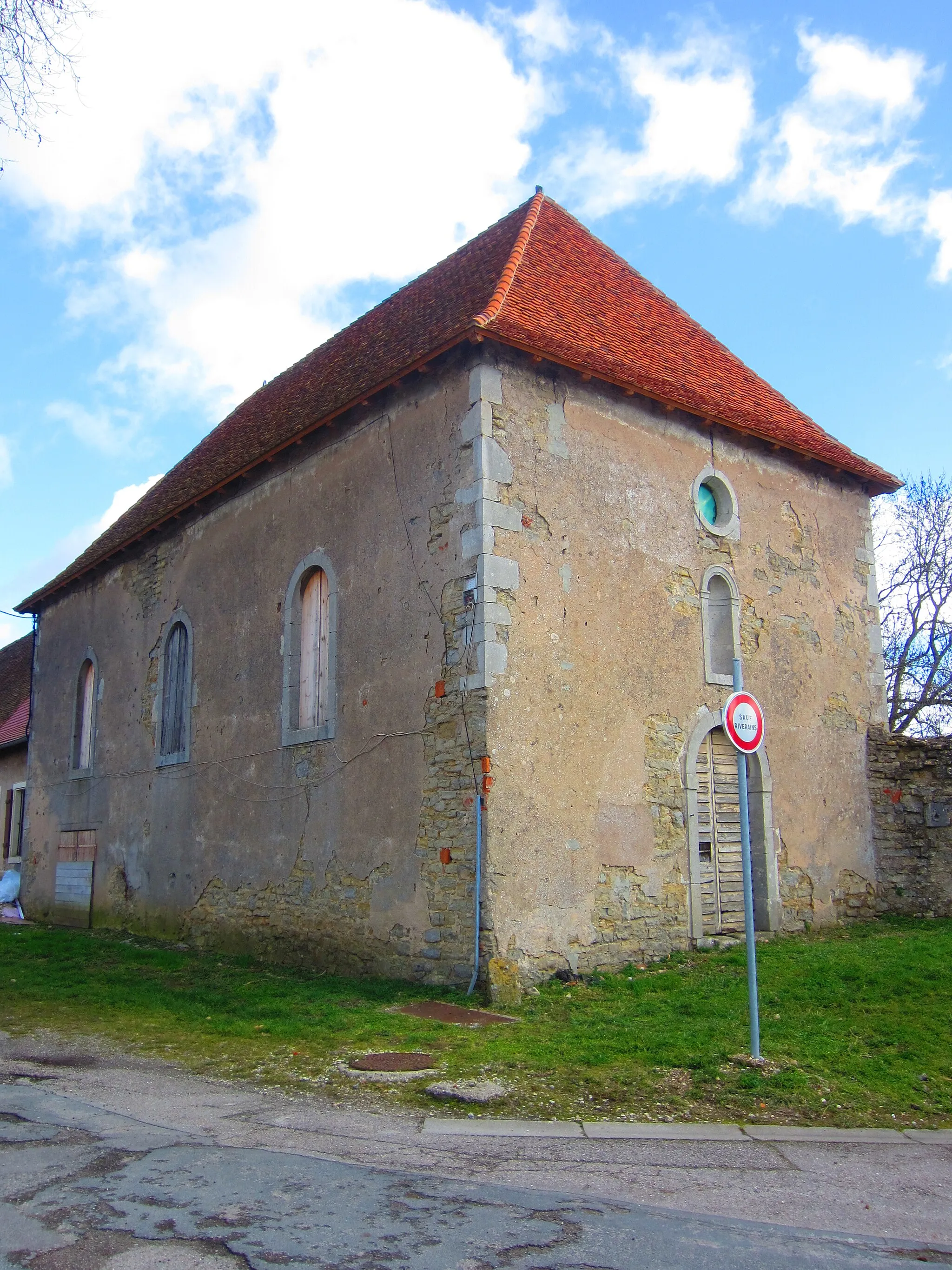
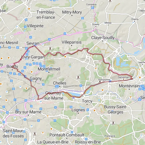
Experience the beauty of nature on this scenic gravel route from Drancy to Villemomble.
This round-trip gravel route takes you through picturesque landscapes and charming villages. With a total distance of 72 kilometers and an ascent of 249 meters, the route is suitable for intermediate riders. Highlights along this route include the Pyramide, a unique architectural landmark, and Lagny-sur-Marne with its historic old town.
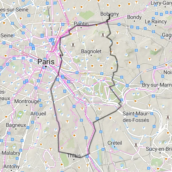
Enjoy the scenic road route from Drancy to Bobigny.
This round-trip road route takes you through dynamic urban areas and picturesque landscapes. With a total distance of 45 kilometers and an ascent of 264 meters, the route is suitable for intermediate riders. Highlights along this route include Noisy-le-Sec, a vibrant town with a rich history, and the Bastille, a historic fortress with panoramic views of Paris.
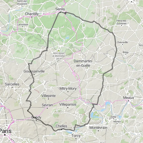
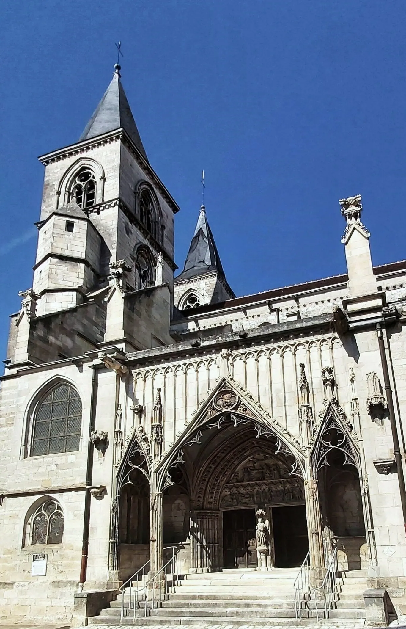
Explore the picturesque towns of Senlis and Nanteuil-le-Haudouin on this road cycling route near Drancy
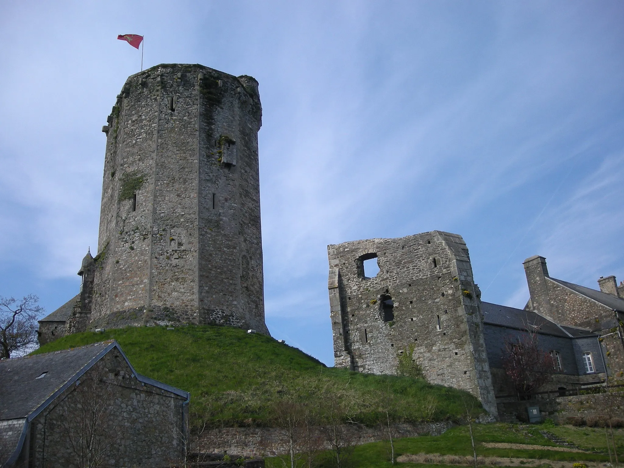
This round-trip cycling route is a great option for riders who enjoy long rides and exploring charming towns. Starting in Drancy, the route takes you through Gonesse and Fosses before reaching Senlis, a town known for its well-preserved medieval walls and cobbled streets. From Senlis, continue on to Nanteuil-le-Haudouin, a historic town with a beautiful castle. The overall distance of the route is 120 kilometers, with a total ascent of 564 meters.
Cycling routes nearby:
Nearby regions: