Versatile cycling options in a mix of urban and rural landscapes.
Cycling routes from Draveil
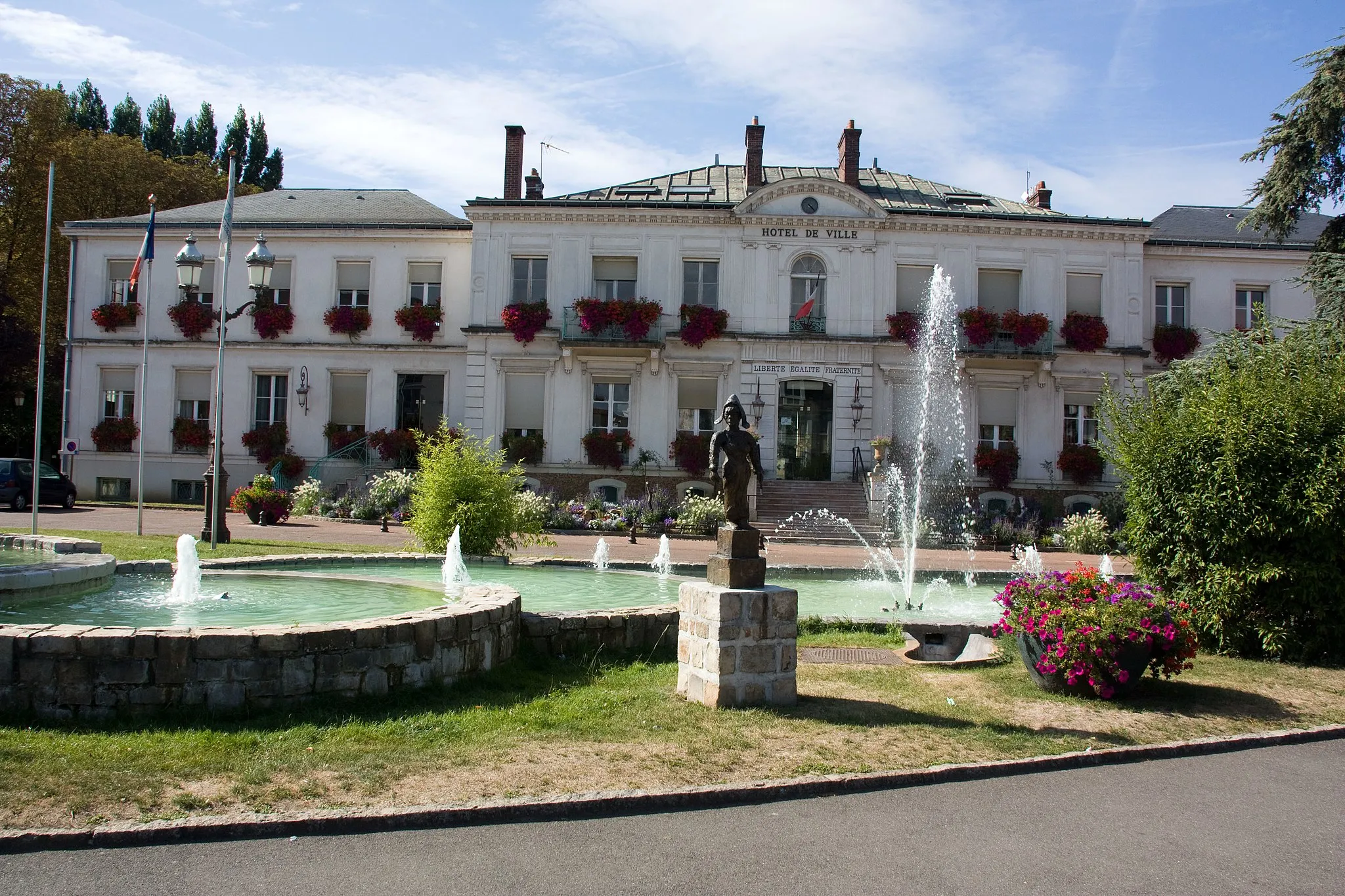
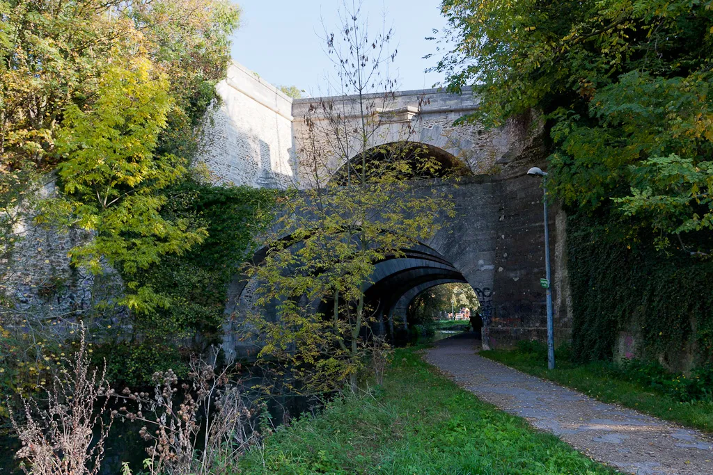
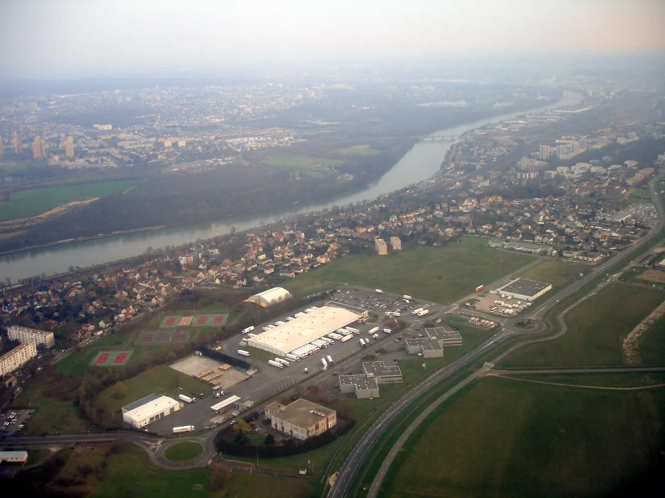
Draveil is a town located in the Ile-de-France region of France. It offers a mix of urban and rural cycling opportunities, with access to both city streets and country roads. Cyclists can explore the banks of the Seine River or venture out to the nearby Forêt de Sénart. While there are no well-known climbs in Draveil, nearby destinations like Fontainebleau offer challenging routes for more experienced riders. Overall, Draveil is a versatile locality for cyclists looking for a combination of city and countryside exploration.
Road Route from Draveil
Scenic road cycling through Villeneuve-Saint-Georges, Pontault-Combault, and more
Embark on a road cycling adventure starting near Draveil and pass through Villeneuve-Saint-Georges, Table d'Orientation, Pontault-Combault, Boussy-Saint-Antoine, and Montgeron. Covering a distance of 59 km with an ascent of 238 m, this route offers a mix of picturesque landscapes and interesting attractions. Suitable for riders seeking a scenic road cycling experience in the Ile-de-France region.
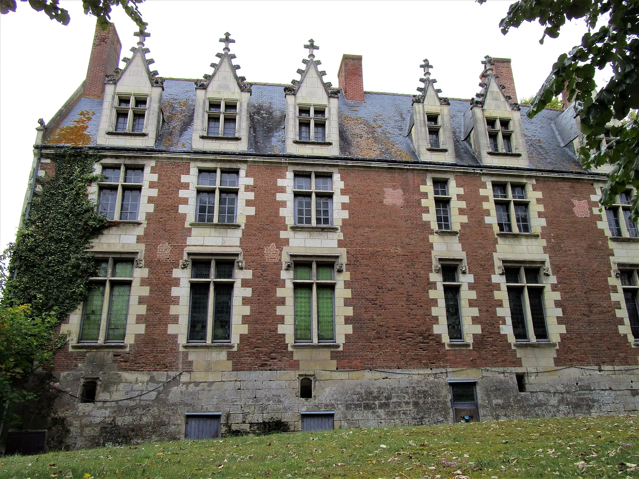
A scenic gravel route with a visit to the beautiful Château des Sables.
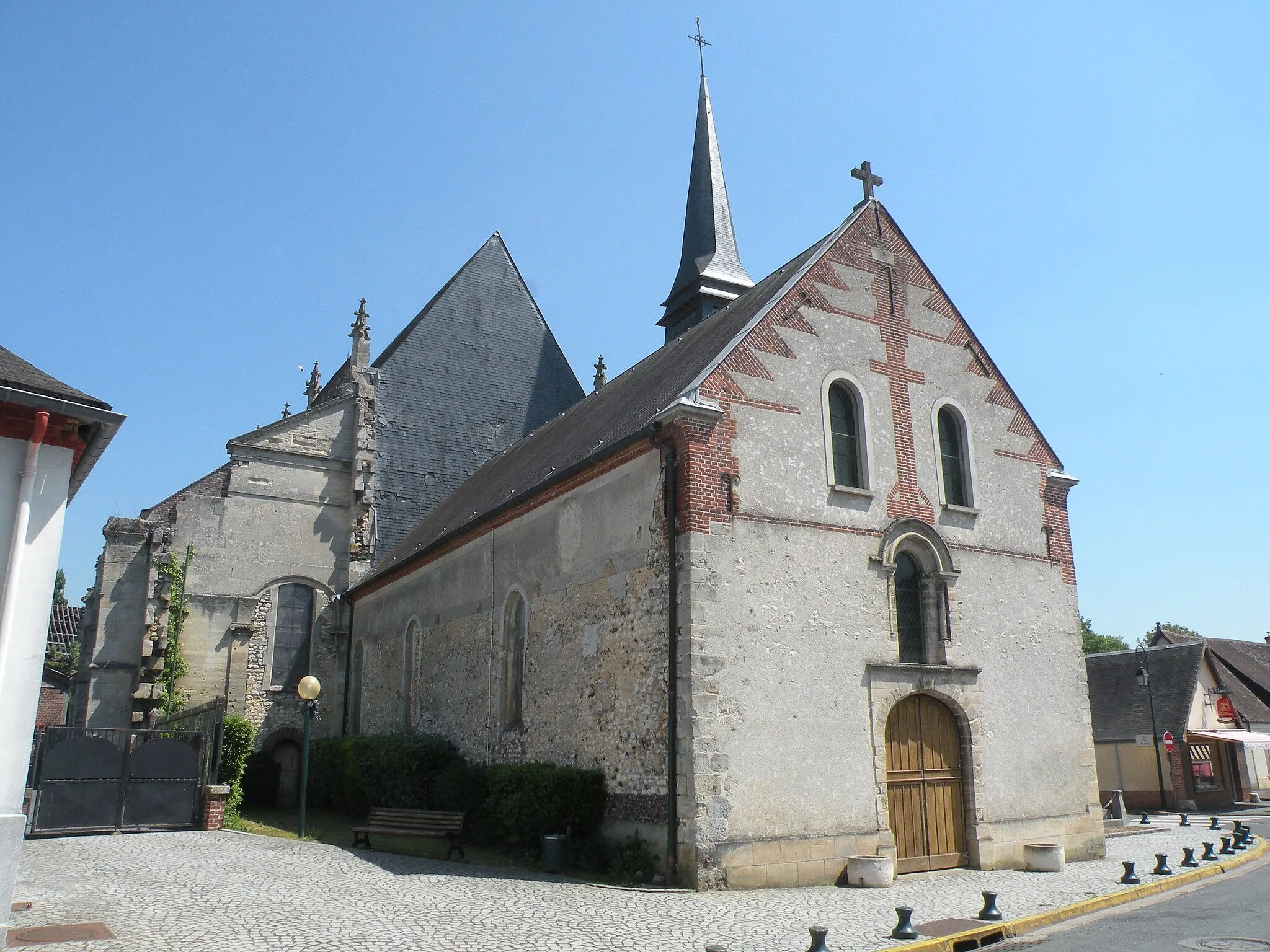
This 58 km gravel route near Draveil offers a picturesque ride through stunning countryside. The highlight of the route is the Château des Sables, a magnificent castle located just off the route. With a manageable ascent of 216 meters and a mix of paved and unpaved roads, this route is suitable for intermediate cyclists. The overall experience is epic, thanks to the charming surroundings and the opportunity to explore the historic château.
Exploring Essonne
A road route showcasing the beauty of Essonne region.
Embark on this 79 km road route near Draveil to discover the scenic beauty of the Essonne region. With an ascent of 417 meters, this route offers a moderate challenge suitable for intermediate-level cyclists. Highlights of the route include Corbeil-Essonnes, a town with a rich architectural heritage, and Draveil, where you start and end your journey. Overall, this road route provides a delightful cycling experience, taking you through picturesque landscapes and showcasing the charm of Essonne.
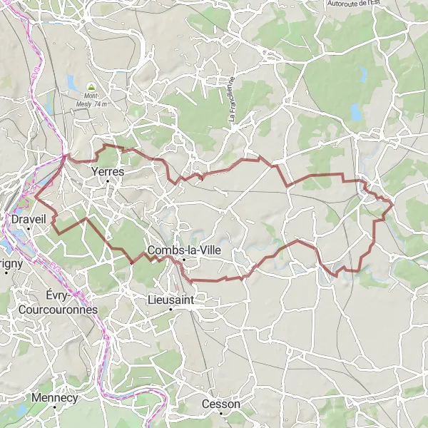
A gravel route showcasing the scenic beauty of the French countryside.
Embark on this 78 km gravel route starting near Draveil to experience the serenity of the French countryside. With a challenging ascent of 298 meters, this route is suitable for experienced cyclists. Highlights of the route include Villeneuve-Saint-Georges, a picturesque town with interesting architecture, and Combs-la-Ville, known for its charming streets and historic buildings. Overall, this route offers an epic cycling experience in the heart of nature.
Road Route from Draveil
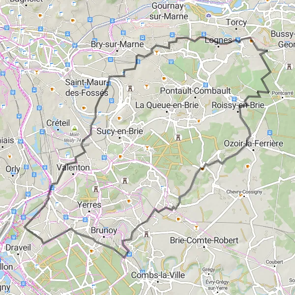
Exploring Champigny-sur-Marne, Noisiel, Ozoir-la-Ferrière, and Montgeron
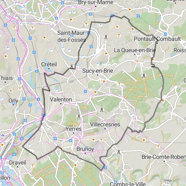
Take on this road route starting near Draveil to discover the charming towns of Champigny-sur-Marne, Noisiel, Ozoir-la-Ferrière, and Montgeron. Covering a distance of 73 km with an ascent of 289 m, this route is ideal for riders looking to explore the cultural and historical attractions of the Ile-de-France region.
Road Route from Draveil
Discovering Corbeil-Essonnes, Ballancourt-sur-Essonne, and Viry-Châtillon
Embark on this road route from Draveil to explore the beautiful towns of Corbeil-Essonnes, Ballancourt-sur-Essonne, Le Plessis-Pâté, and Viry-Châtillon. With a distance of 57 km and an ascent of 153 m, this route showcases the scenic landscapes and charming architecture of the Ile-de-France region.
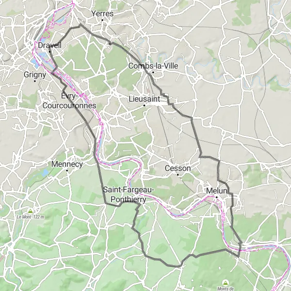
Scenic road cycling through Brunoy, Réau, Chartrettes, Saint-Fargeau-Ponthierry, and Ris-Orangis
Experience a scenic road cycling adventure starting near Draveil and passing through the beautiful towns of Brunoy, Réau, Chartrettes, Saint-Fargeau-Ponthierry, and Ris-Orangis. Covering a distance of 86 km with an ascent of 359 m, this route offers a mix of charming landscapes and cultural attractions. Suitable for riders seeking a longer and more challenging road cycling experience.
Countryside Challenge
An adventurous gravel route with challenging ascents and sublime countryside views.
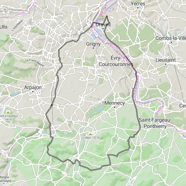
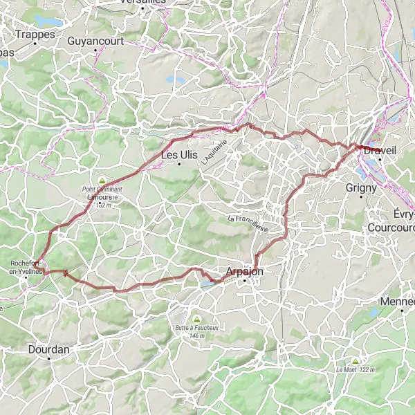
Embark on this challenging 85 km gravel route near Draveil to experience the breathtaking beauty of the French countryside. With a demanding ascent of 539 meters, this route is suitable for experienced and well-trained cyclists. Highlights of the route include Saint-Michel-sur-Orge, a charming town with historic landmarks, and Limours, known for its stunning vistas and vibrant local culture. The overall cycling experience on this route is epic, with numerous challenging climbs and opportunities to immerse yourself in nature.
Gravel Route from Draveil
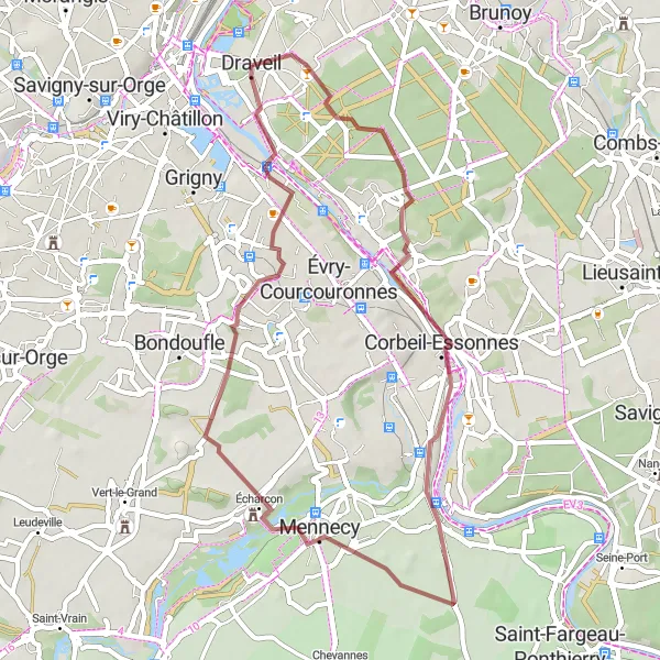
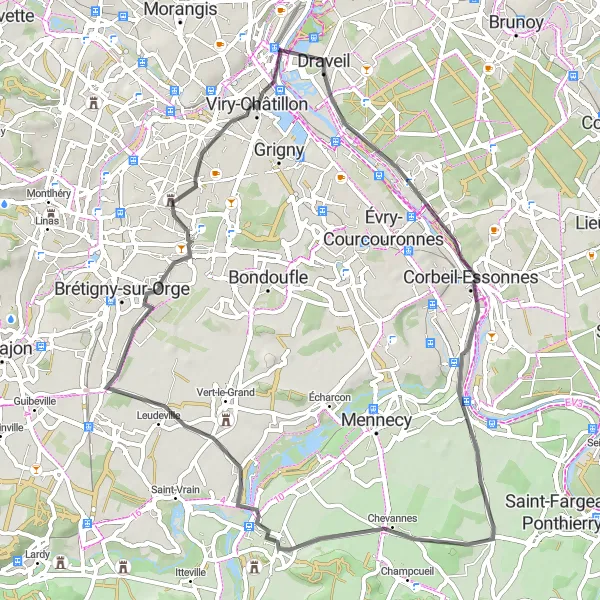
Cycling through Corbeil-Essonnes, Le Coudray-Montceaux, and more
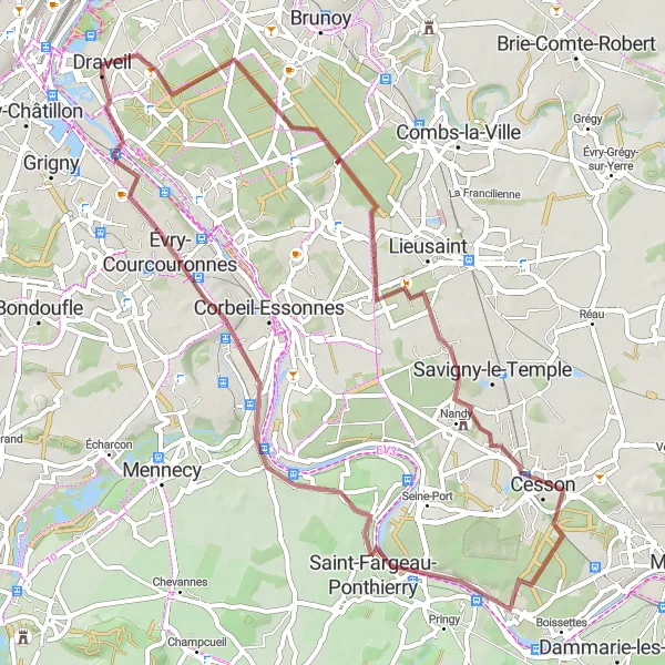
This gravel route starts near Draveil and takes you on a scenic journey through Corbeil-Essonnes, Le Coudray-Montceaux, Écharcon, and Ris-Orangis. With a total distance of 43 km and an ascent of 209 m, this route showcases the beautiful landscapes of Ile-de-France. It is suitable for riders who enjoy off-road cycling and want to explore the outskirts of Draveil.
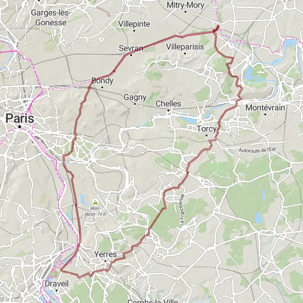
A gravel route exploring historical landmarks and charming towns.
Discover the rich history of the region on this 97 km gravel route near Draveil. With a challenging ascent of 413 meters, this route is suitable for experienced cyclists seeking an immersive historical experience. Highlights of the route include the Temple Grec, a unique ancient Greek-inspired monument, and Lagny-sur-Marne, a picturesque town with quaint streets and traditional houses. The overall journey on this route is epic, with opportunities to visit historic landmarks and soak in the local architectural and cultural heritage.
Cycling routes nearby:
Nearby regions: