Exploring Essonne
A road cycling route starting from Draveil
A road route showcasing the beauty of Essonne region.
Map
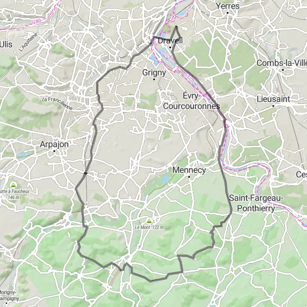
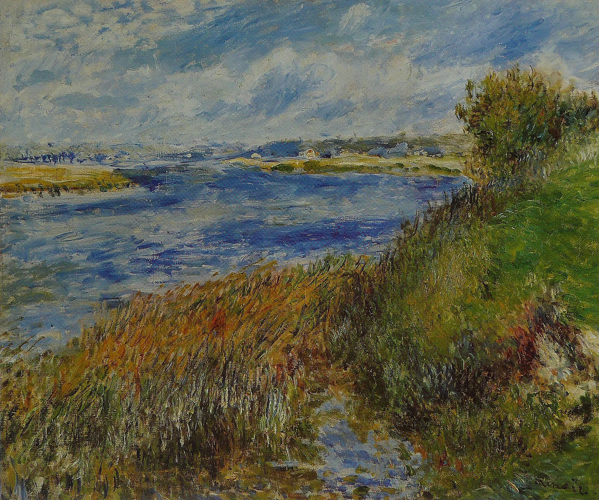
Embark on this 79 km road route near Draveil to discover the scenic beauty of the Essonne region. With an ascent of 417 meters, this route offers a moderate challenge suitable for intermediate-level cyclists. Highlights of the route include Corbeil-Essonnes, a town with a rich architectural heritage, and Draveil, where you start and end your journey. Overall, this road route provides a delightful cycling experience, taking you through picturesque landscapes and showcasing the charm of Essonne.
road
79 km
417 m
Tough
Route profile
Highlights on the route
0 km
0 km
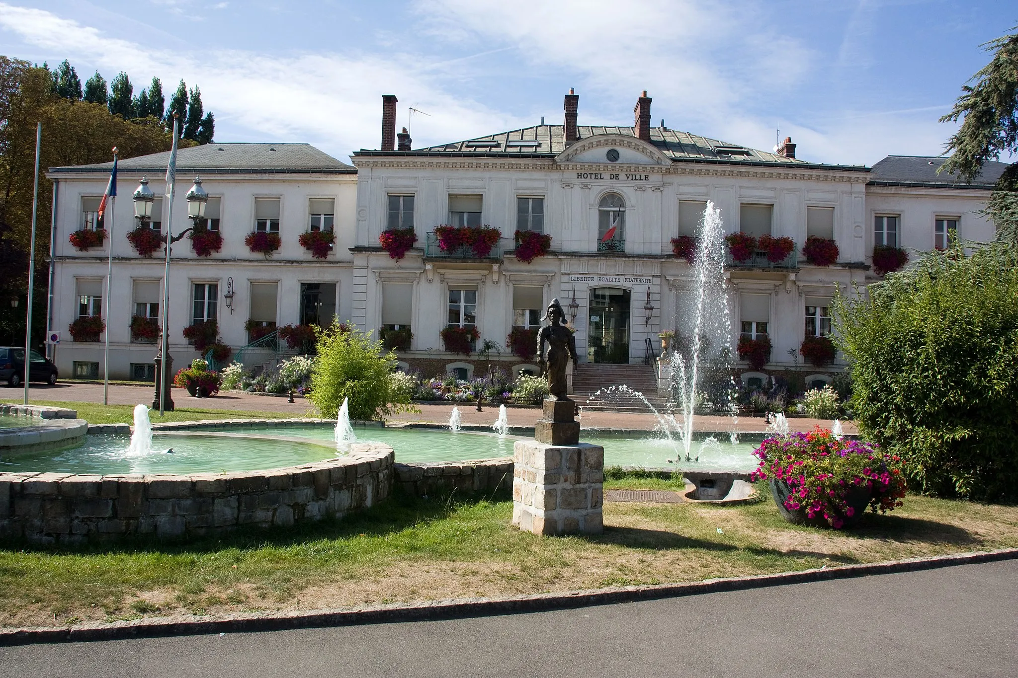
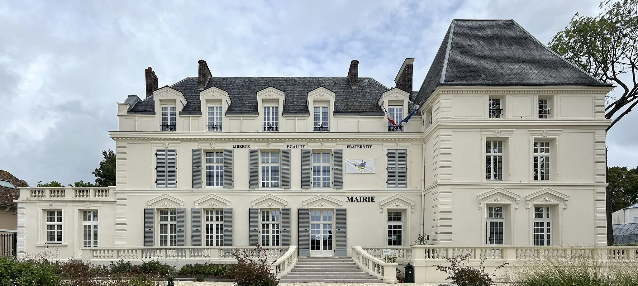
Start: Vigneux-sur-Seine City centerDraveil: Versatile cycling options in a mix of urban and rural landscapes.
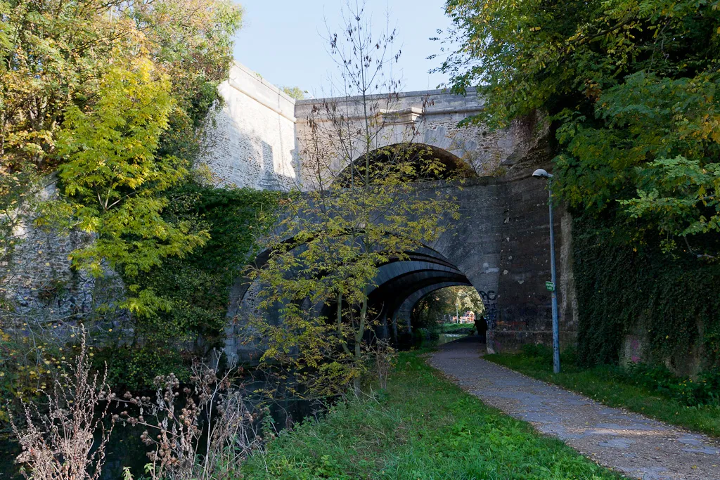
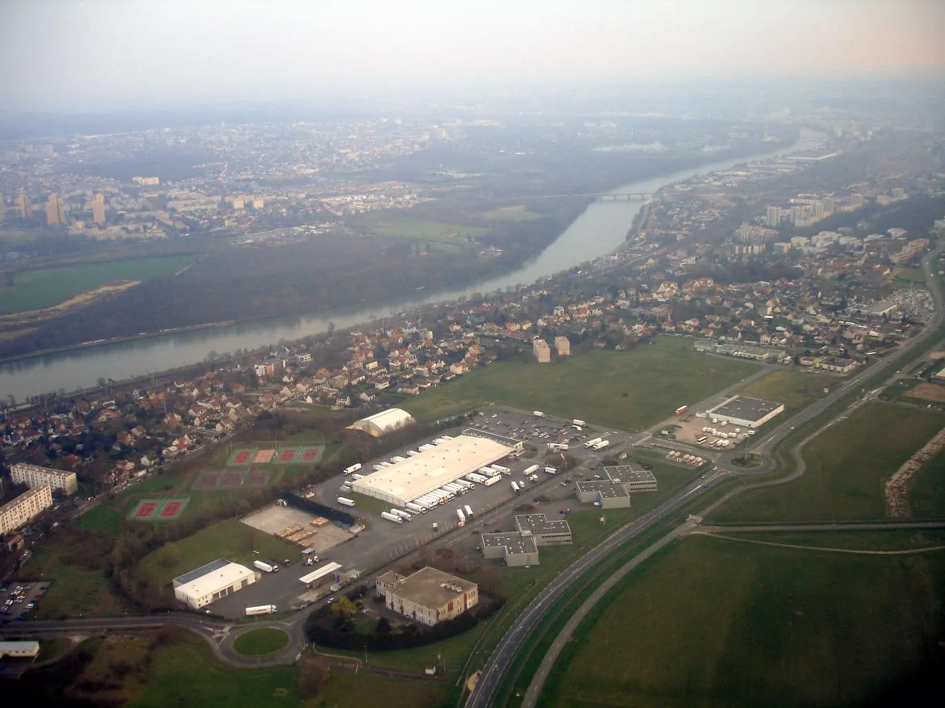
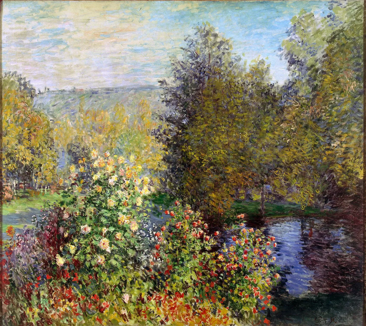
Draveil is a town located in the Ile-de-France region of France. It offers a mix of urban and rural cycling opportunities, with access to both city streets and country roads. Cyclists can explore the banks of the Seine River or venture out to the nearby Forêt de Sénart. While there are no well-known climbs in Draveil, nearby destinations like Fontainebleau offer challenging routes for more experienced riders. Overall, Draveil is a versatile locality for cyclists looking for a combination of city and countryside exploration.12 km
12 km
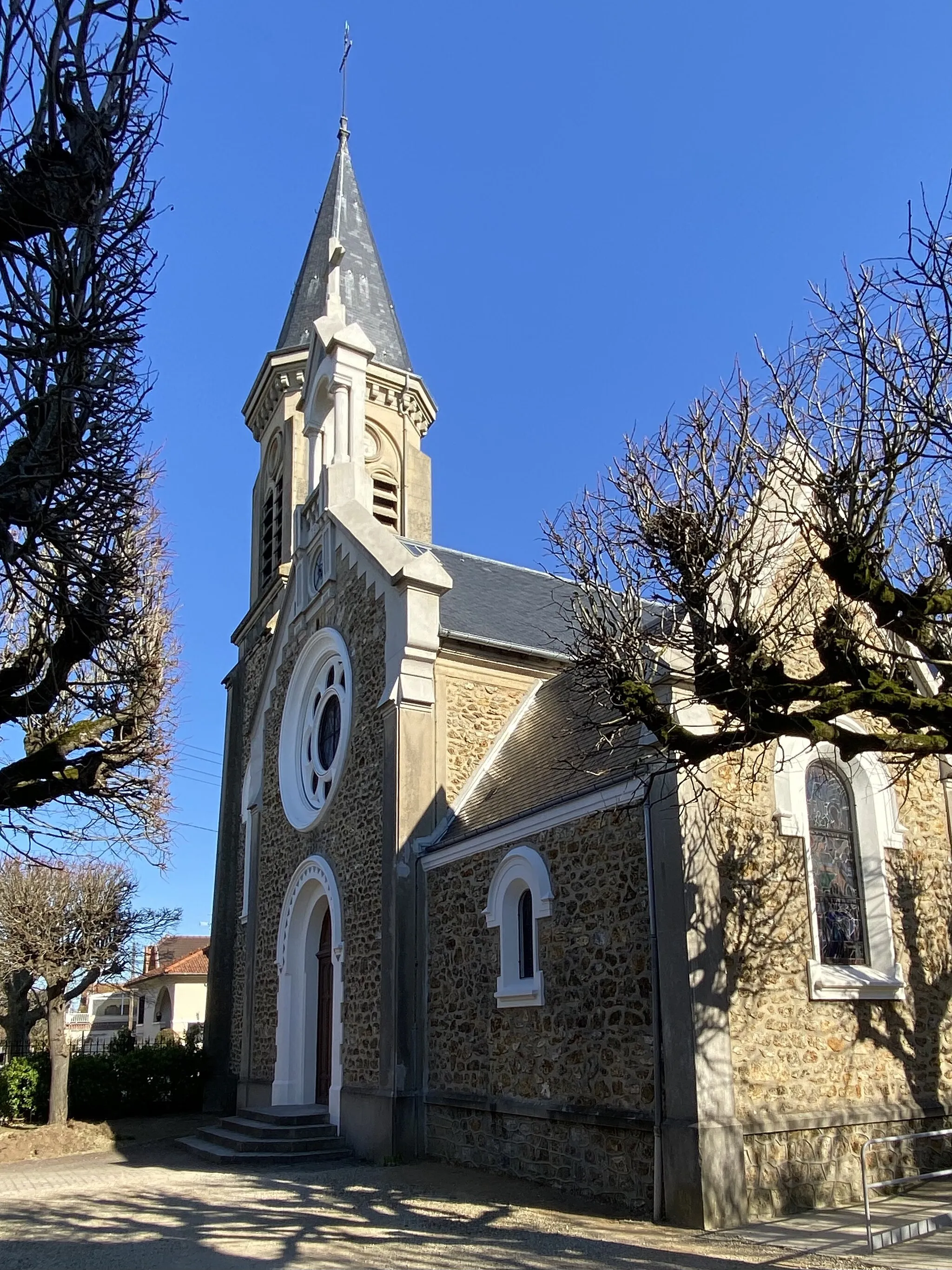
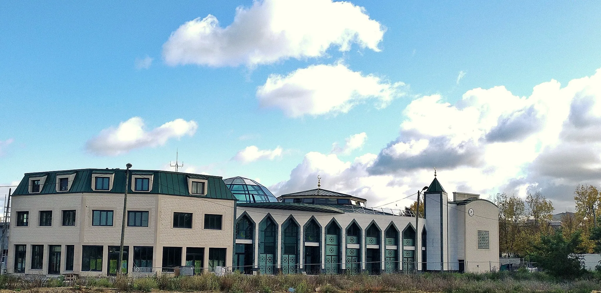
Corbeil-EssonnesTownCorbeil-Essonnes is home to impressive historical landmarks, such as the Church of Saint Spire and the thirteenth-century bridge.
22 km
22 km
AuvernauxVillageAuvernaux is a small village with limited attractions but offers picturesque countryside scenery.
42 km
42 km
CernyVillageCerny is known for its stunning natural landscapes, featuring rolling hills and forests ideal for outdoor enthusiasts.
65 km
65 km
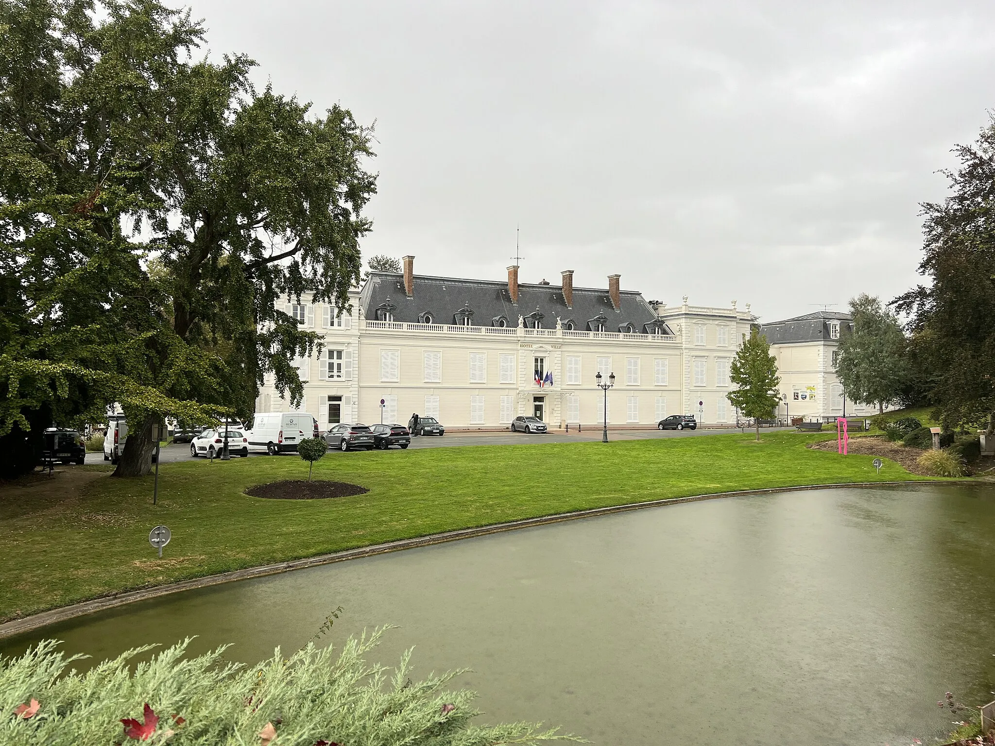
Saint-Michel-sur-OrgeTownSaint-Michel-sur-Orge is a town with historic significance and interesting architectural landmarks to explore.
77 km
77 km
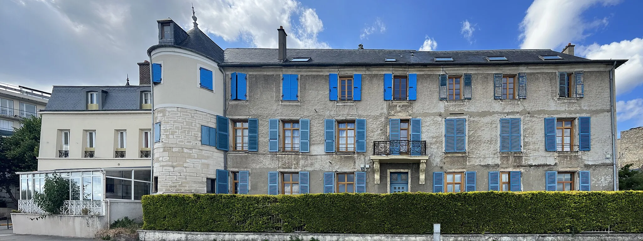
DraveilTownDraveil, the starting and ending point of the route, offers beautiful riverside views and a charming atmosphere.
79 km
79 km
Finish: Vigneux-sur-Seine City centerDraveil: Versatile cycling options in a mix of urban and rural landscapes.
Cycling routes nearby: