Bagnolet to Champs Élysées Loop
A road cycling route starting from Levallois-Perret
Explore the vibrant atmosphere of Bagnolet and end with a ride along Champs Élysées.
Map
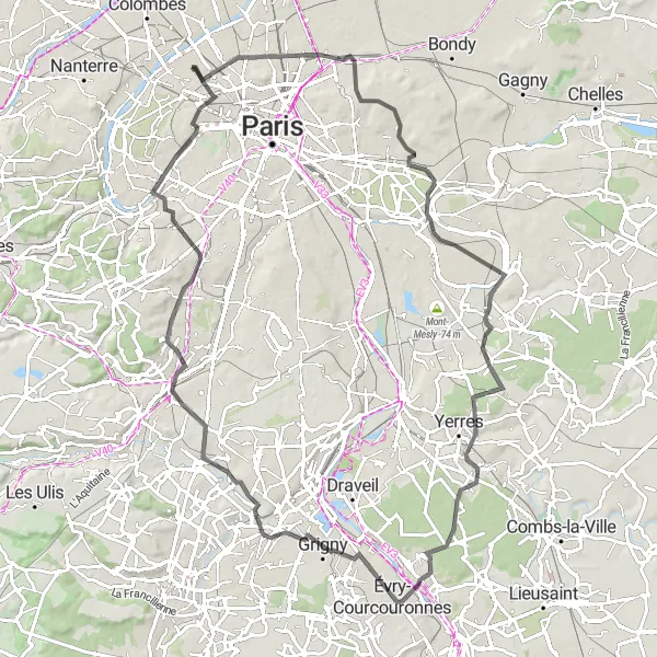
This 94 km road cycling route takes you through diverse landscapes, starting from the lively neighborhood of Bagnolet and ending on the iconic Champs Élysées. Highlights of this route include the charming Observatoire de la Butte aux Papillons in Bagnolet, the scenic Terrasse de Chennevières, and the picturesque town of Brunoy. With a moderate difficulty level suitable for experienced cyclists, this route offers a vibrant and cultural experience. The epicness rating for this route is 4 out of 5, thanks to the iconic Champs Élysées and other scenic spots.
road
94 km
625 m
Tough
Route profile
Highlights on the route
0 km
0 km
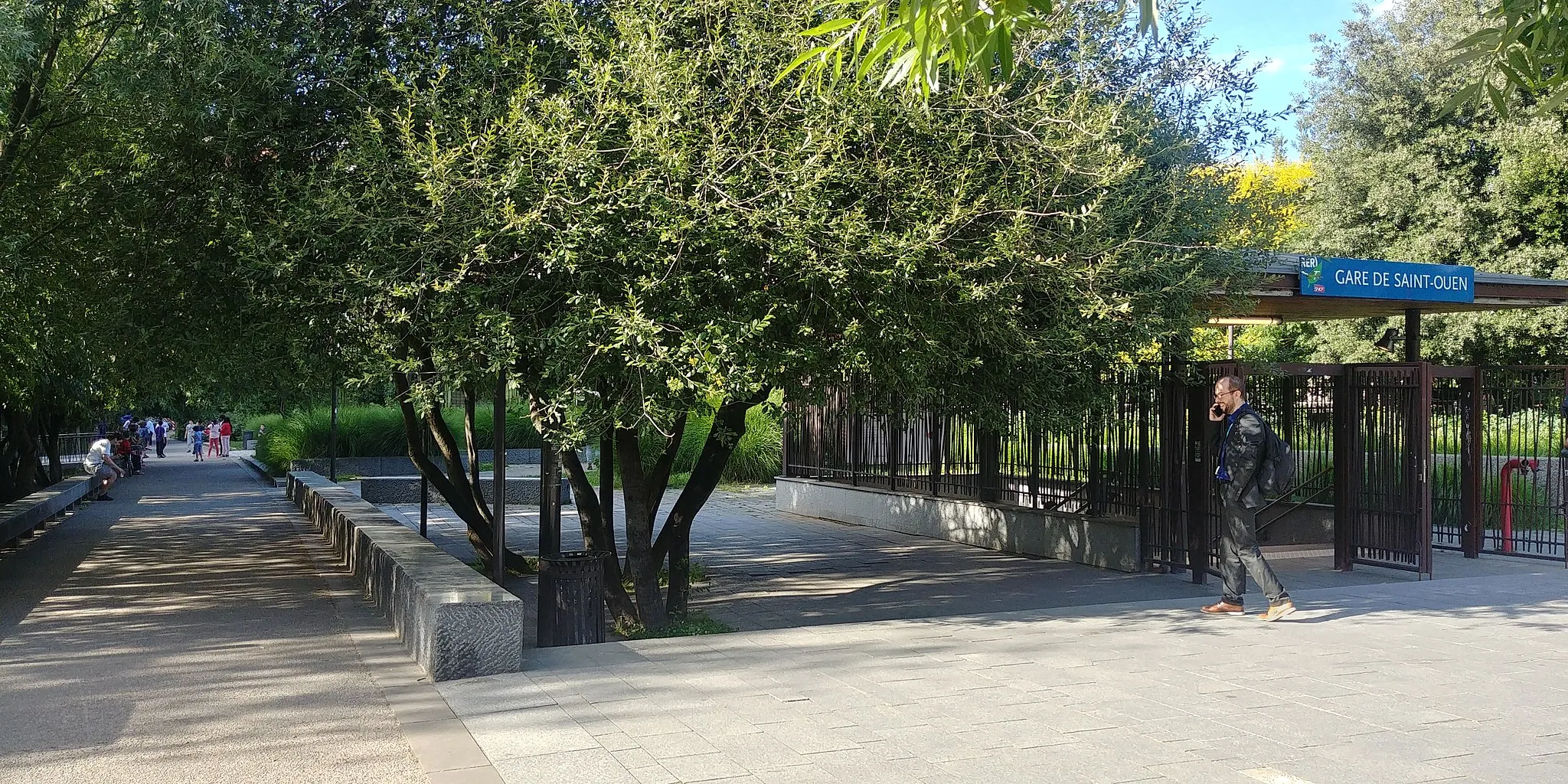
Start: Levallois-Perret City centerLevallois-Perret: Urban cycling in Ile-de-France
Levallois-Perret is a town located in the region of Ile-de-France, France. From a cyclist's perspective, it's a mainly urban area with bike lanes and flat roads. While it doesn't offer any famous cycling spots or well-known climbs, it's a convenient location to start exploring the cycling routes in the surrounding Ile-de-France region.12 km
12 km
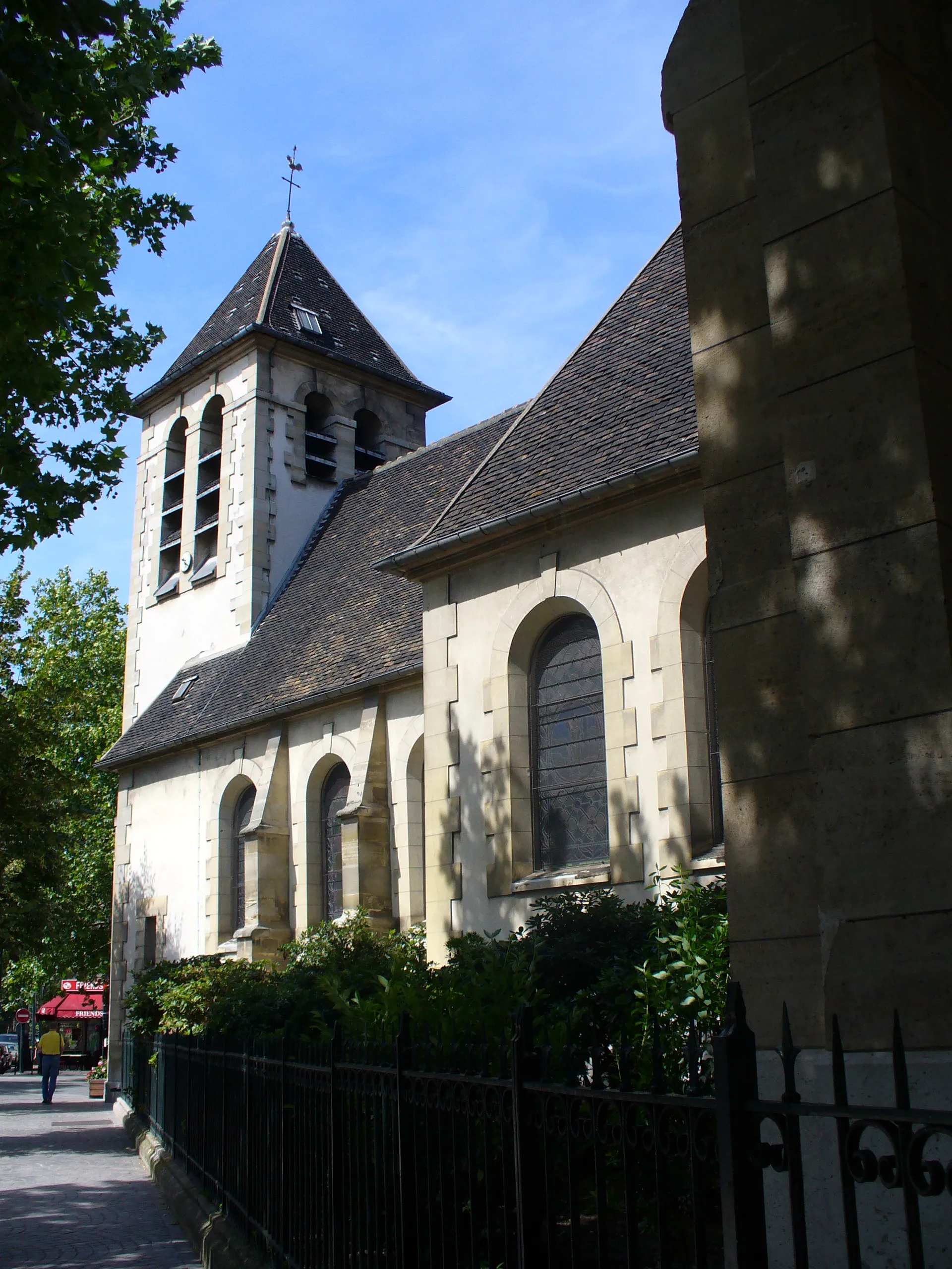
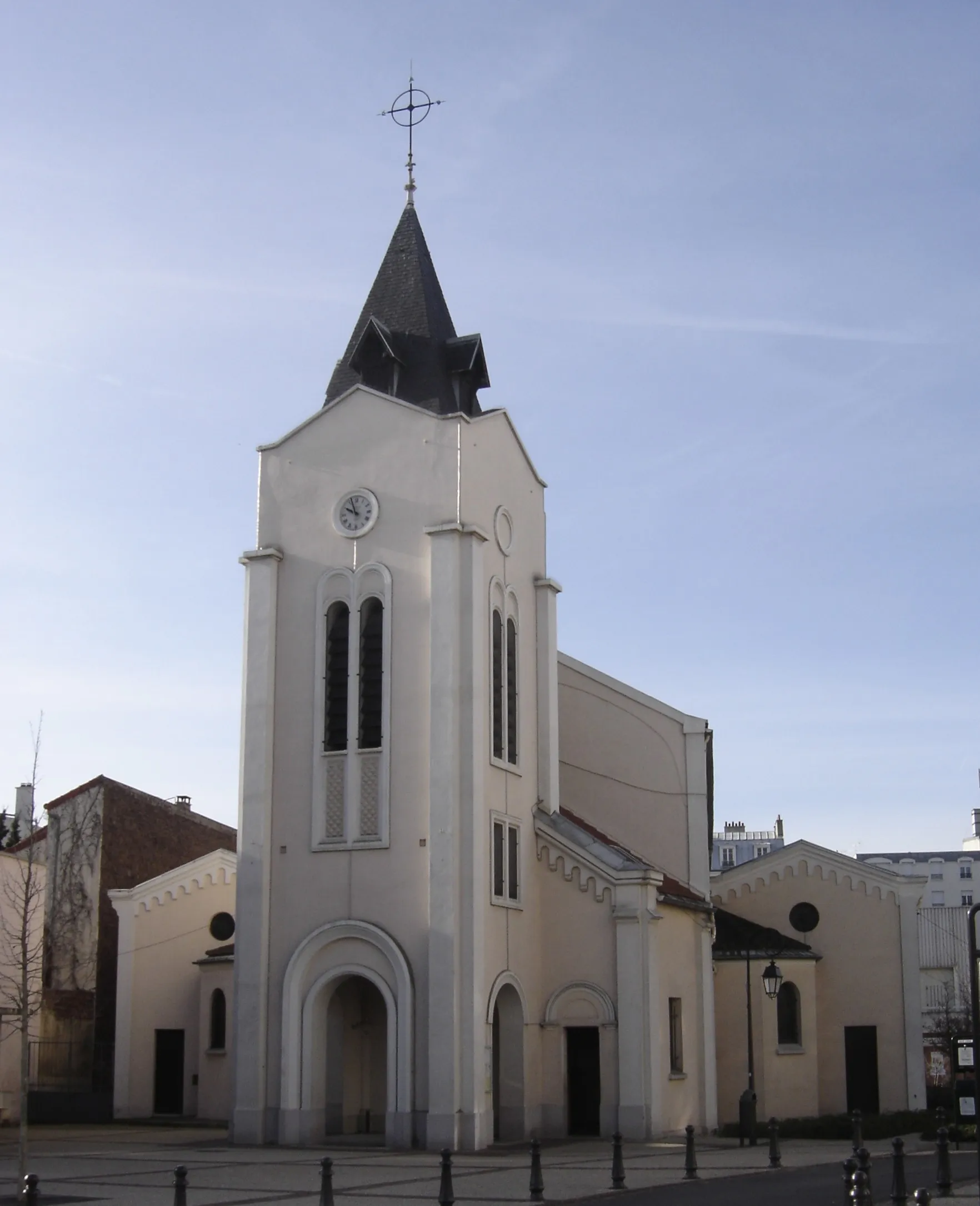
BagnoletTownBagnolet is a lively neighborhood in eastern Paris, known for its vibrant street art scene and eclectic dining options.
16 km
16 km
Observatoire de la Butte aux PapillonsViewpointThe Observatoire de la Butte aux Papillons is a hidden gem offering stunning views of Paris and a myriad of butterfly species.
27 km
27 km
Terrasse de ChennevièresViewpointTerrasse de Chennevières offers breathtaking panoramic views over the Marne River and surrounding countryside.
41 km
41 km
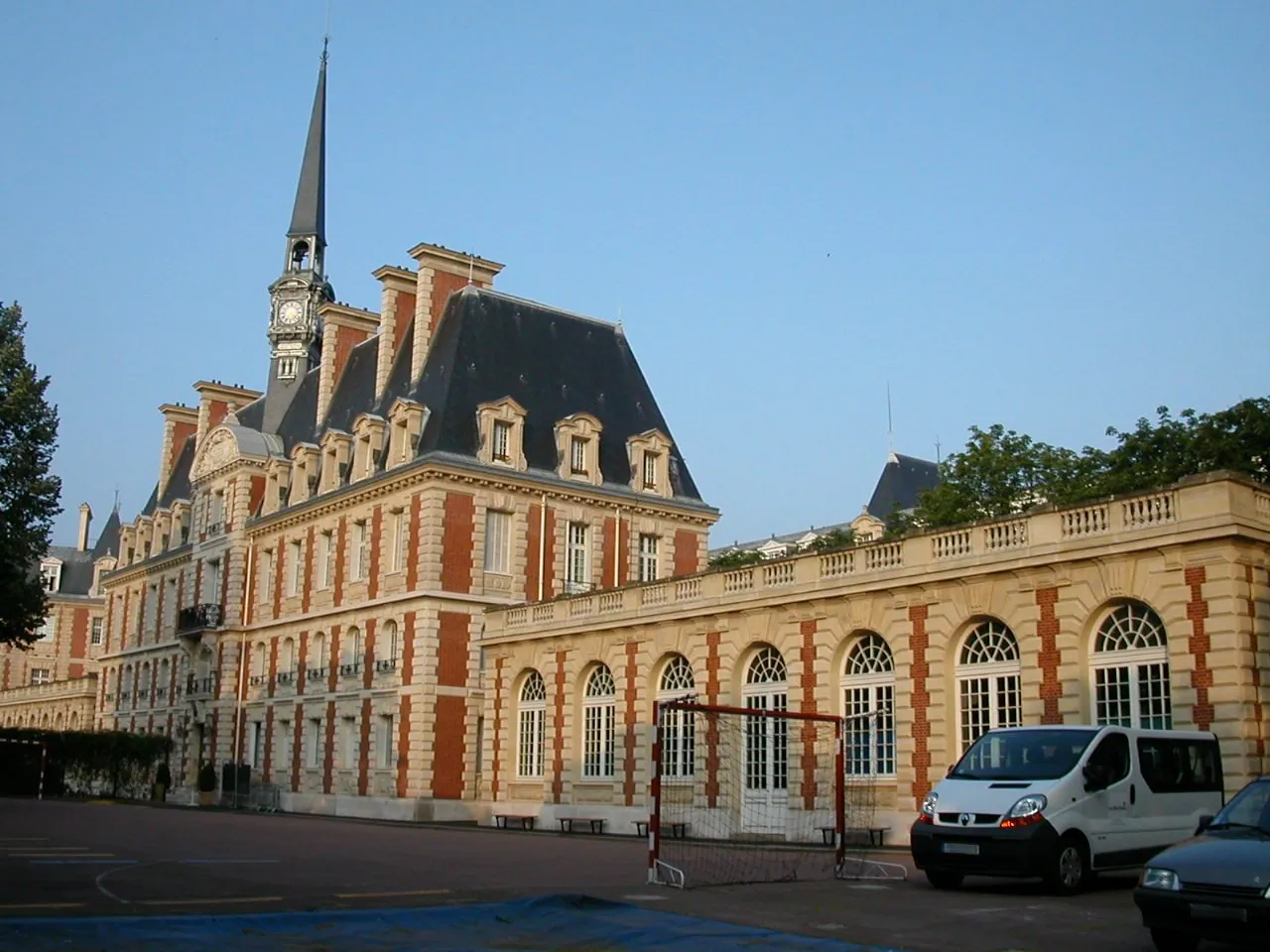
BrunoyTownBrunoy is a charming town known for its historic buildings, beautiful gardens, and idyllic riverbanks.
51 km
51 km
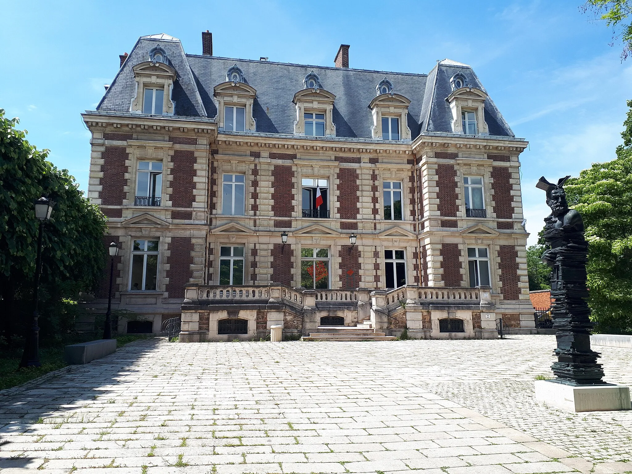
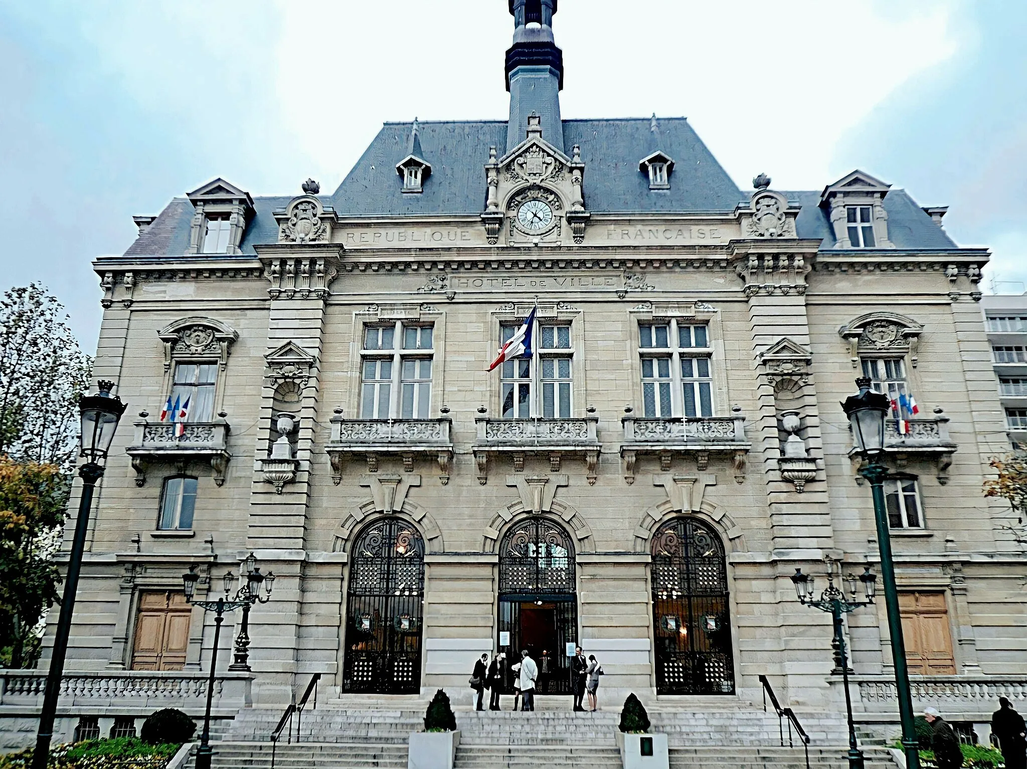
Évry-CourcouronnesTownÉvry-Courcouronnes is a modern town with striking contemporary architecture, beautiful parks, and cultural attractions.
75 km
75 km
Table d'Orientation de la ChataigneraieViewpointTable d'Orientation de la Chataigneraie is a scenic viewpoint offering panoramic vistas of the lush green landscape and nearby forests.
76 km
76 km
Châtenay-MalabryTownChâtenay-Malabry is a beautiful town surrounded by parks and green spaces, including the famous Arboretum de la Vallée-aux-Loups.
89 km
89 km
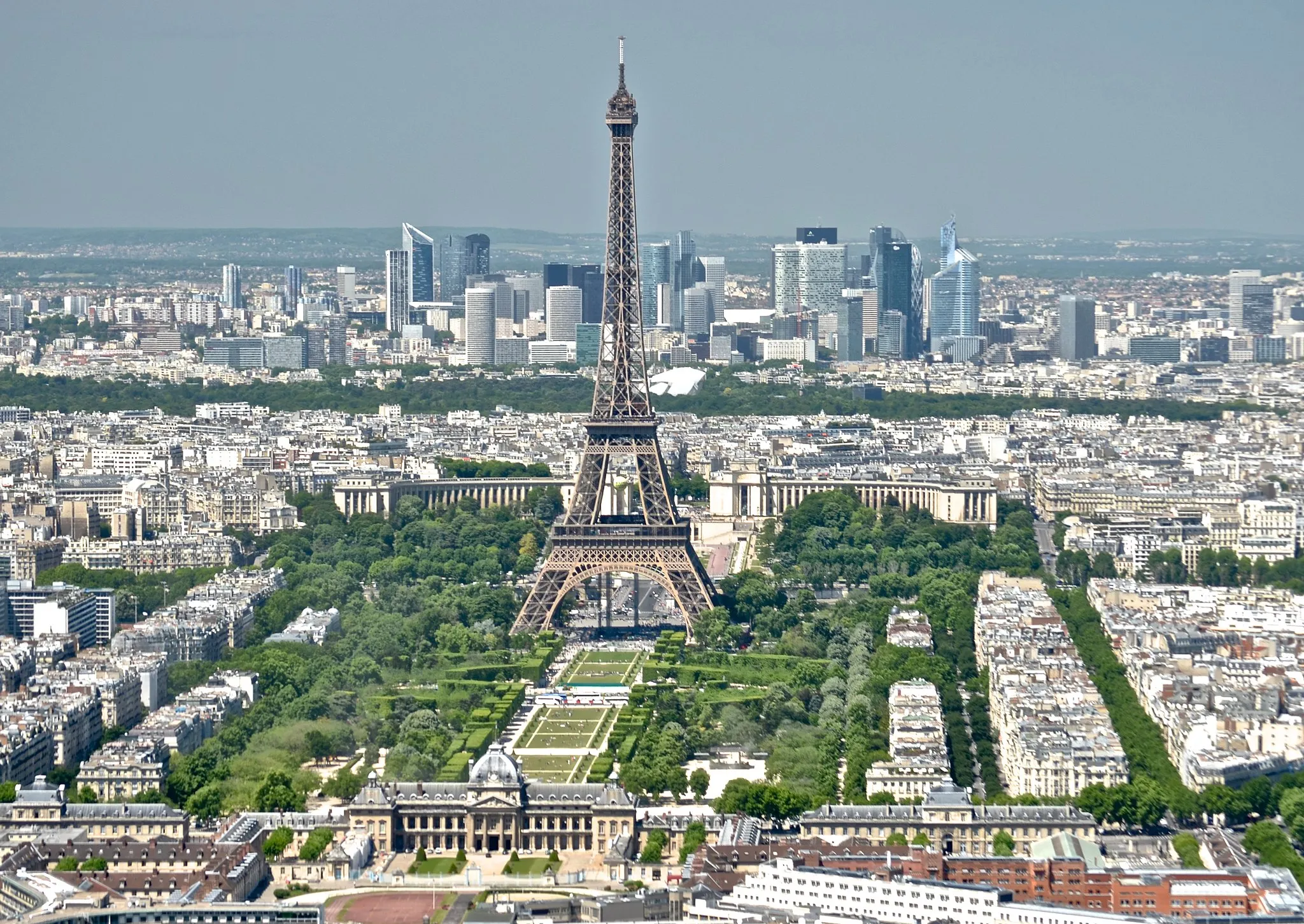
Passerelle DebillyViewpointPasserelle Debilly is an iconic pedestrian bridge offering stunning views of the Eiffel Tower and the Seine River.
91 km
91 km
Champs ÉlyséesAttractionChamps Élysées is one of the most famous streets in the world, known for its luxury shops, cafes, and iconic landmarks.
94 km
94 km
Finish: Levallois-Perret City centerLevallois-Perret: Urban cycling in Ile-de-France
Cycling routes from Levallois-Perret:
Levallois-Perret to Bois-d'Arcy Loop Gravel Route: Levallois-Perret to Clichy Gravel Route: Levallois-Perret to Pantin Clichy to Palais Garnier Loop Bagnolet to Champs Élysées Loop Clichy to Palais Garnier Loop Gravel Route: Levallois-Perret to Versailles Courbevoie to Montmartre Loop Bouffémont Gravel Loop Gravel Route: Levallois-Perret to Gennevilliers The Parisian Suburbs Ride
Cycling routes nearby: