The Montauriol Loop
A road cycling route starting from Llupia
Explore the scenic Montauriol region on this challenging road cycling route.
Map
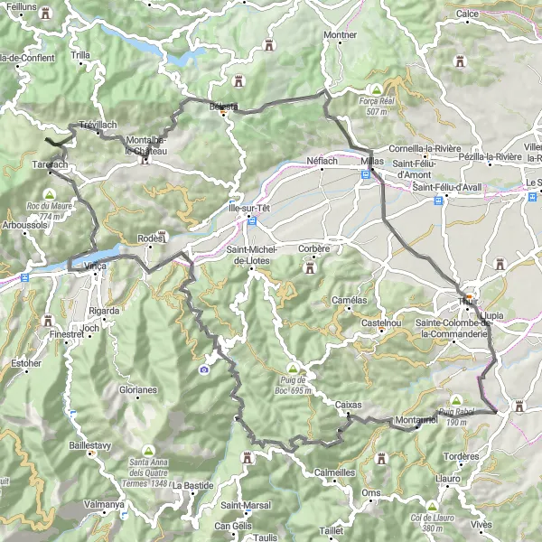
This round-trip cycling route near Llupia takes you through the picturesque Montauriol region. With a total distance of 93 km and an elevation gain of 1755 meters, this road cycling route is suitable for well-trained amateur cyclists. The route offers stunning views of the surrounding countryside and passes through several charming villages such as Coll de Prunet de Baix and Boule-d'Amont. The highlights of this route include the challenging climbs of Col de Ternère, Col des Auzines, and Col de la Bataille. Don't miss the opportunity to visit the medieval village of Terrats at the end of the route.
road
93 km
1755 m
Tough
Route profile
Highlights on the route
0 km
0 km
Start: Terrats Village centerLlupia: Picturesque village amidst varied terrain
Llupia is a small town in Languedoc-Roussillon, France. From a cyclist's point of view, Llupia offers a combination of flat plains and rolling hills, making it suitable for both leisurely rides and more challenging excursions. The roads are generally in good condition, allowing for smooth and comfortable cycling. Although the area does not boast any famous climbs, it provides picturesque scenery and opportunities to explore the surrounding countryside. Llupia itself is a charming village with local amenities and a peaceful atmosphere. Cyclists can also easily access nearby towns and attractions, such as Perpignan and the Mediterranean coast. Overall, Llupia is a pleasant location for road and gravel cyclists of various skill levels.8 km
8 km
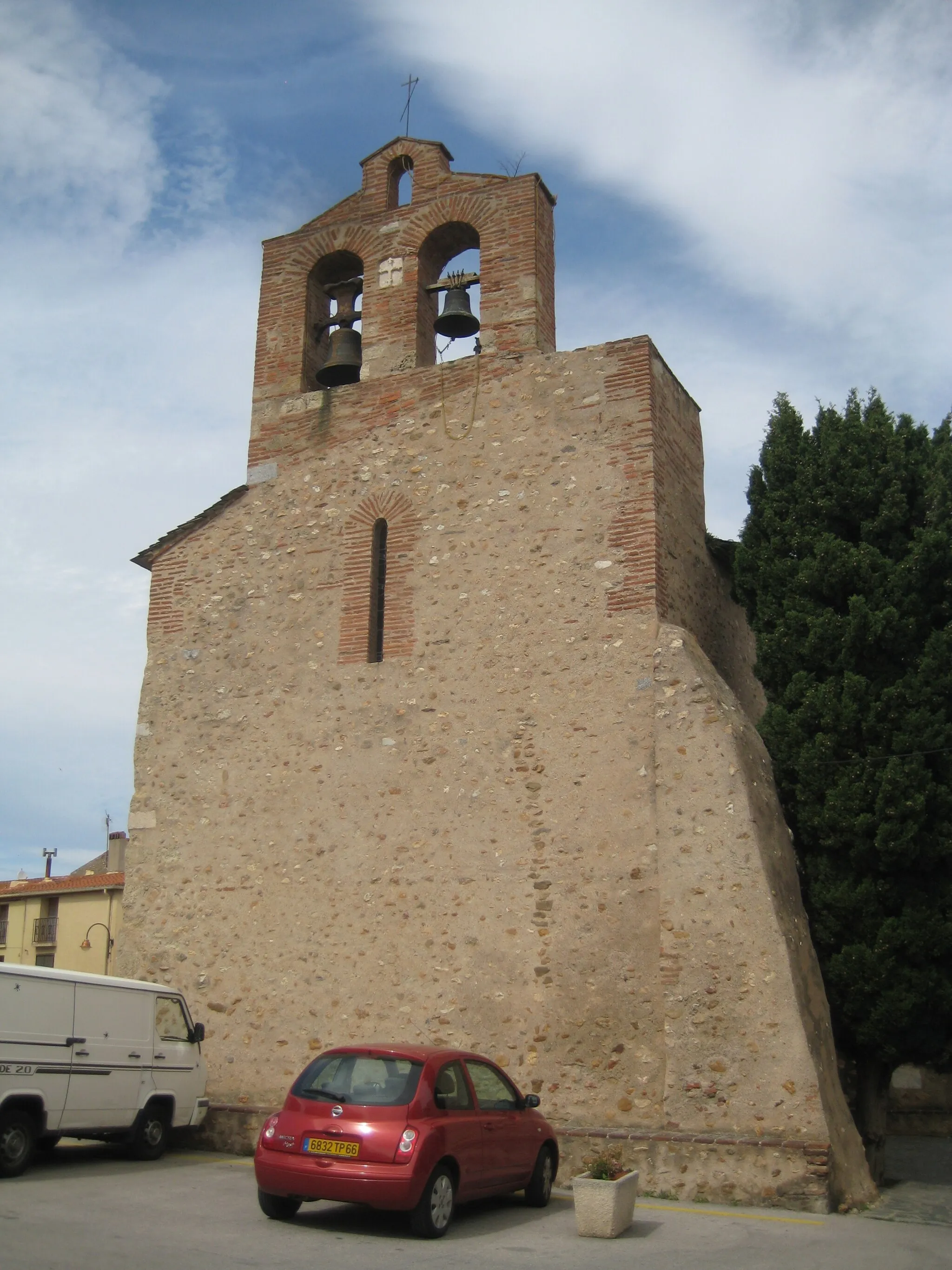
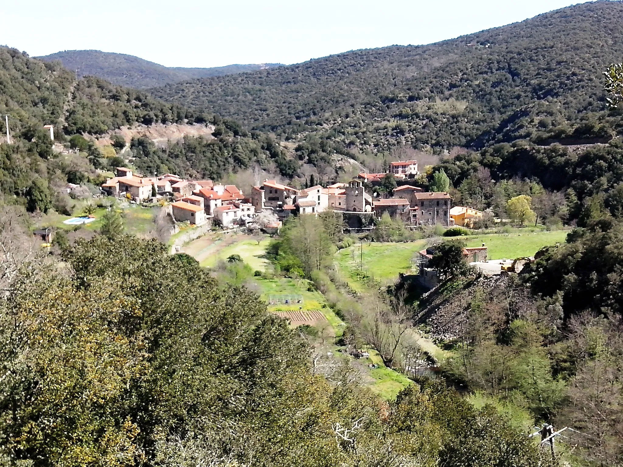
MontauriolVillageMontauriol is known for its beautiful vineyards and traditional wine-making techniques.
16 km
16 km
Coll de Prunet de Baix618 mMountain PassColl de Prunet de Baix offers panoramic views of the surrounding Pyrenees mountains.
23 km
23 km
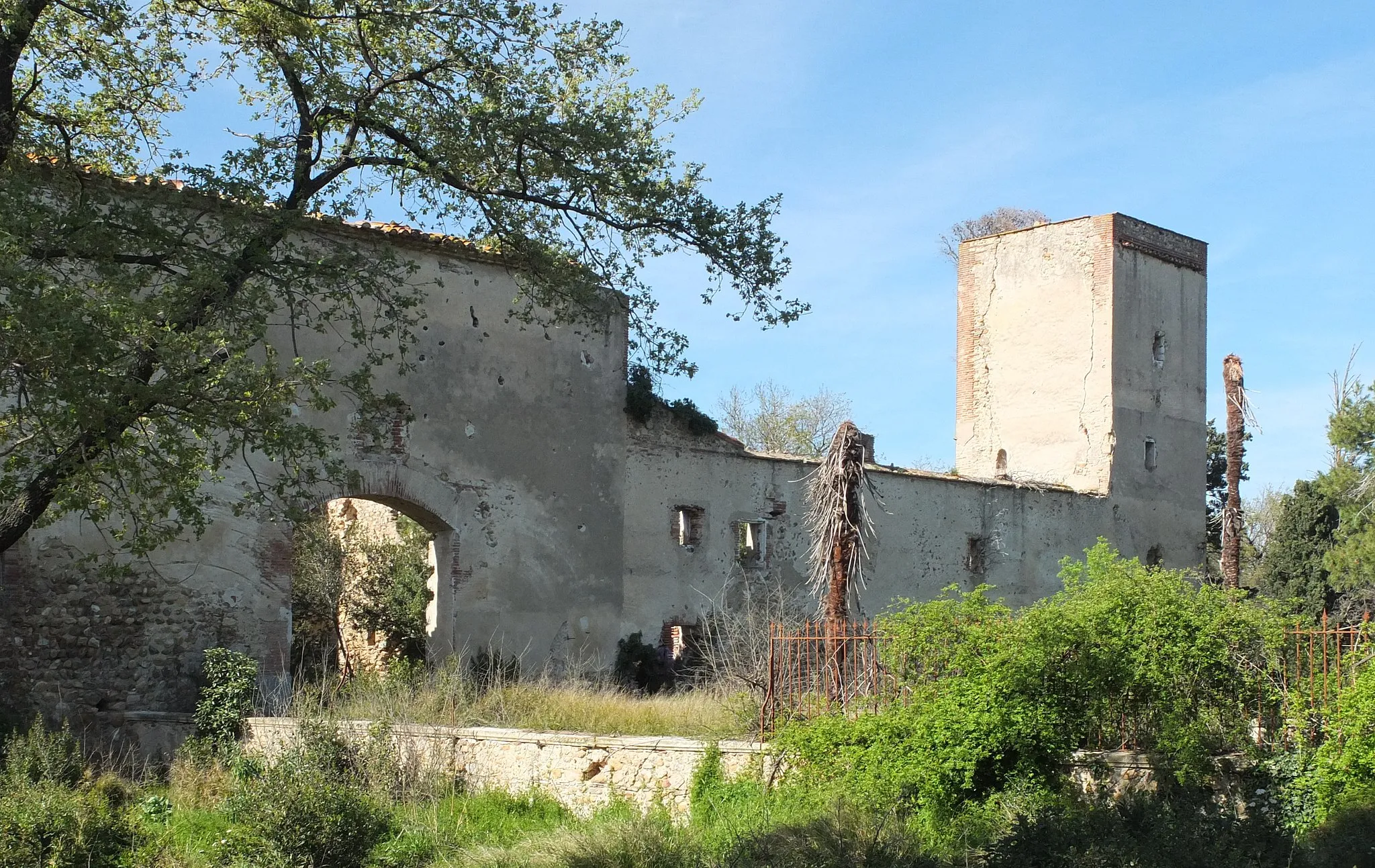
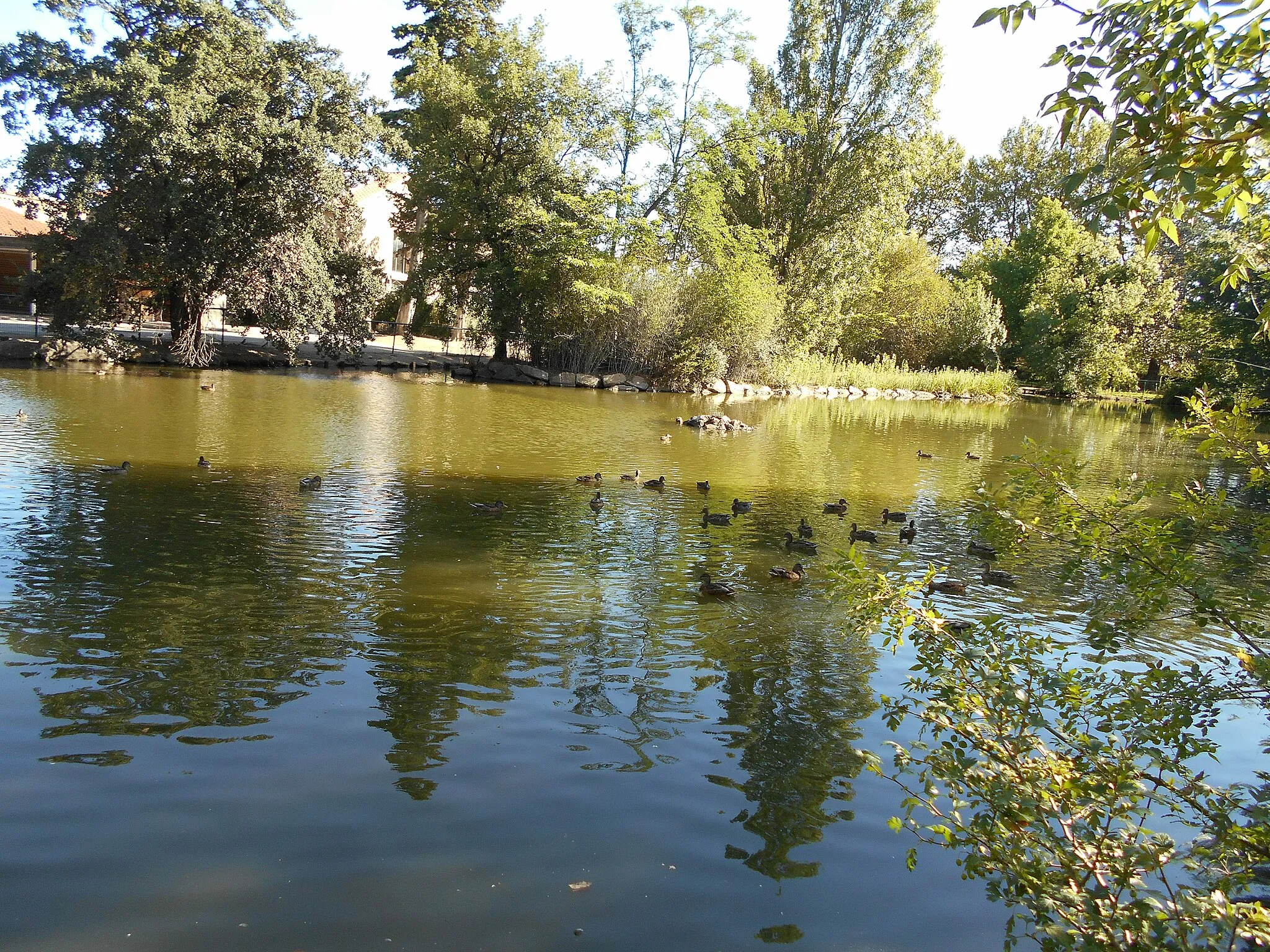
Boule-d'AmontVillageBoule-d'Amont is a charming village with traditional Catalan architecture.
39 km
39 km
Col de Ternère233 mMountain PassCol de Ternère is a challenging climb with breathtaking views at the top.
57 km
57 km
Col des Auzines603 mMountain PassCol des Auzines is a picturesque mountain pass surrounded by lush greenery.
58 km
58 km
TrévillachVillageTrévillach is a quiet village known for its traditional stone houses.
75 km
75 km
Col de la Bataille265 mMountain PassCol de la Bataille offers scenic views of the Roussillon plain.
80 km
80 km
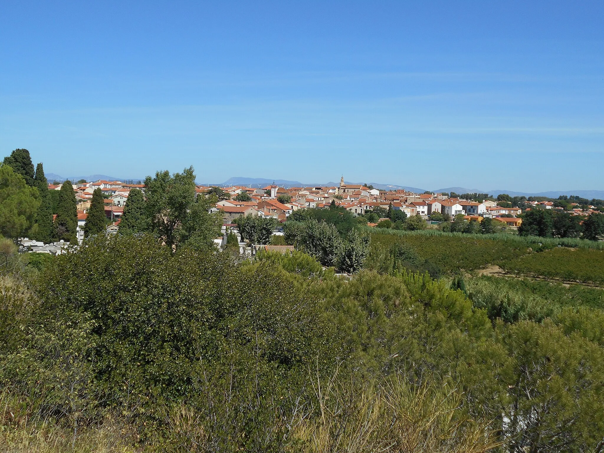
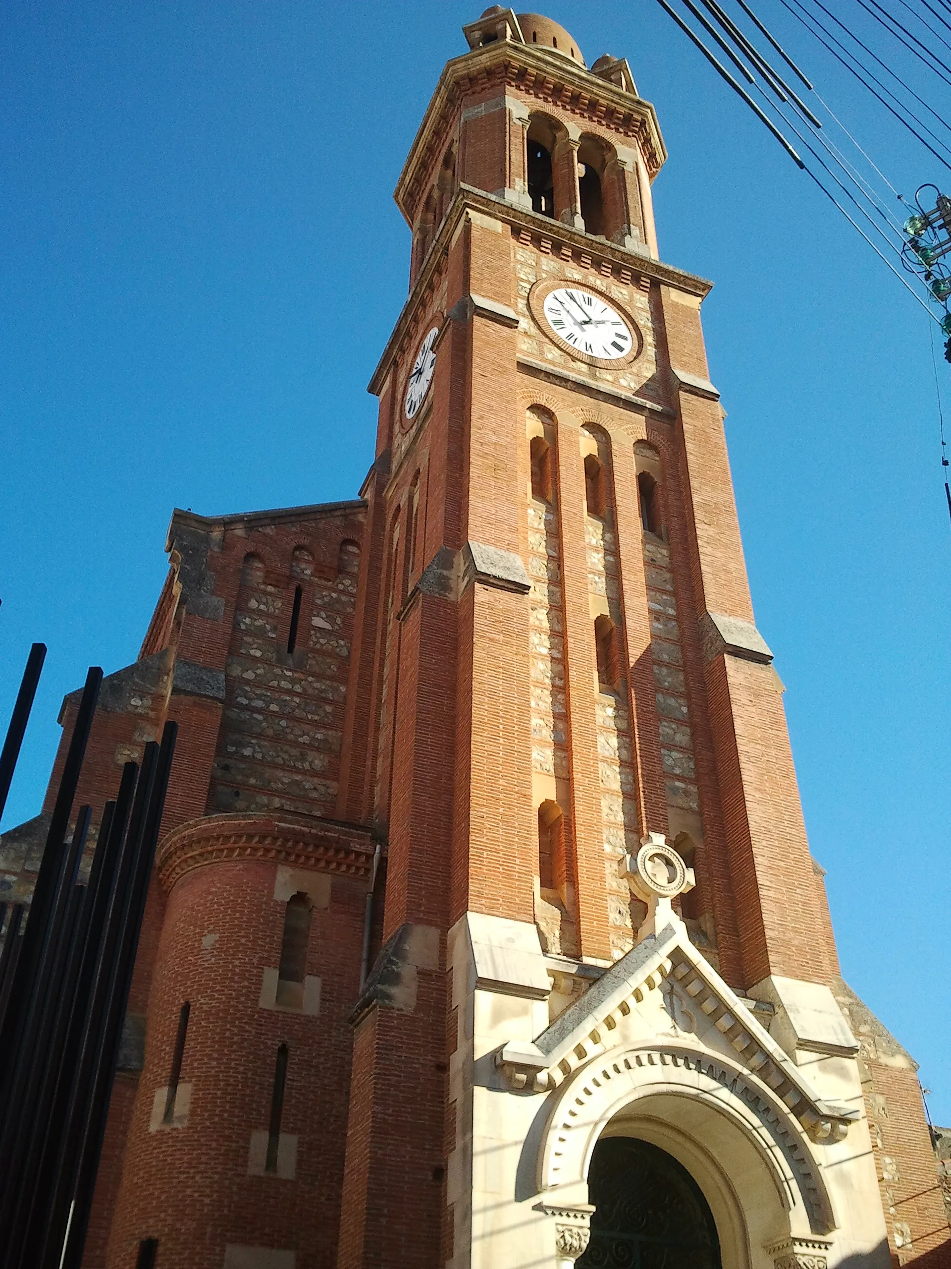
MillasVillageMillas is a historic village with ancient Roman ruins.
93 km
93 km
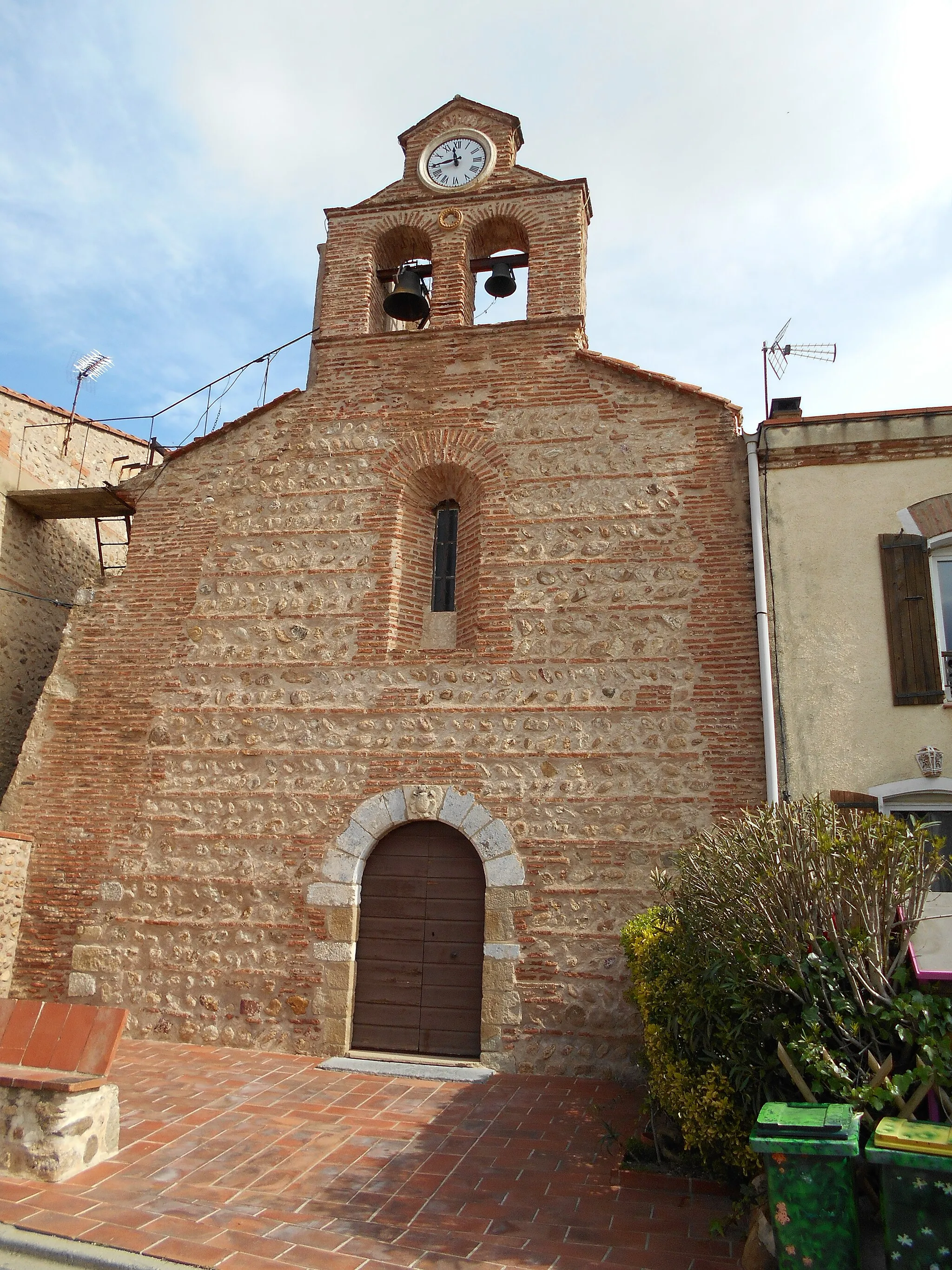
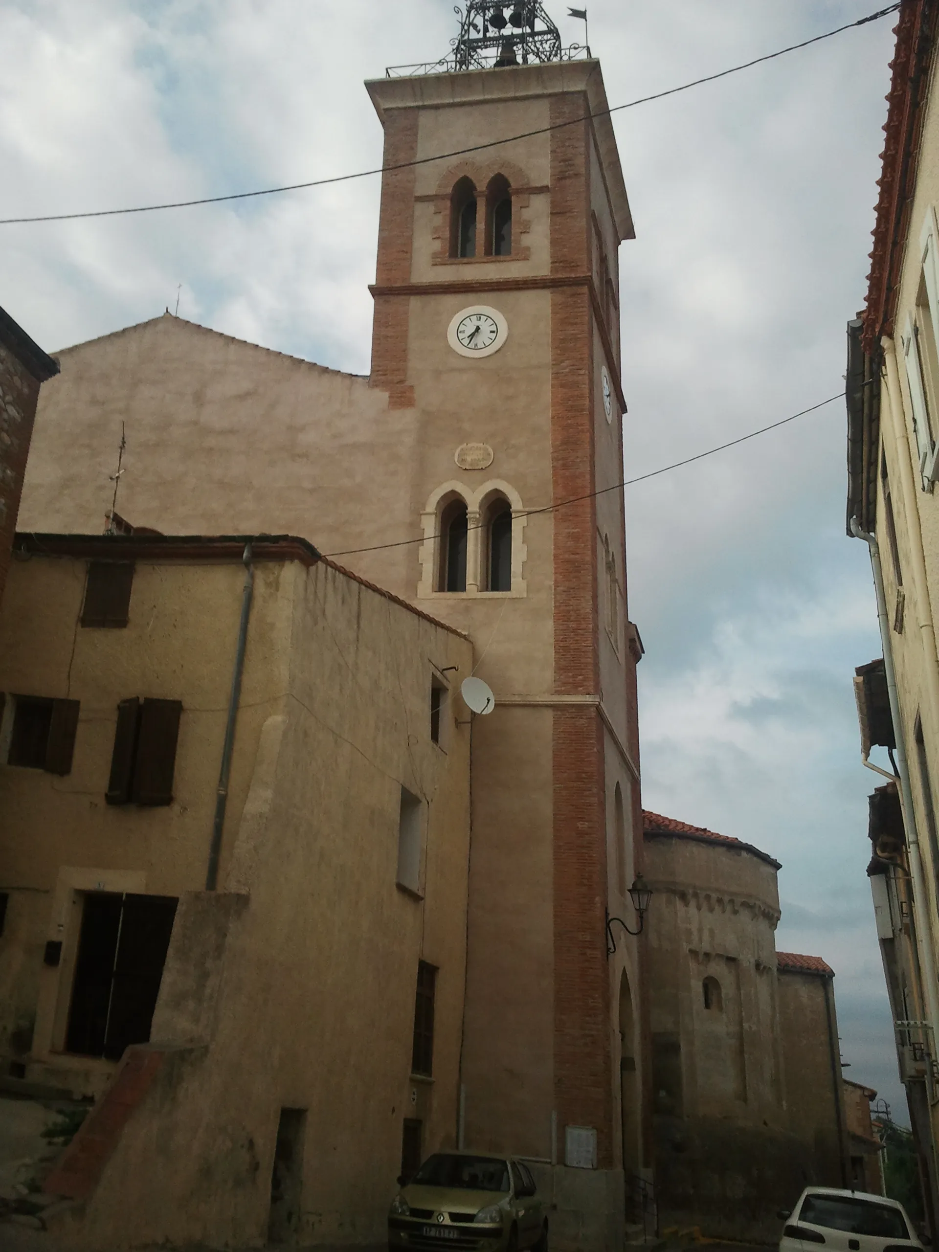
TerratsVillageTerrats is a medieval village with narrow cobblestone streets and traditional stone buildings.
93 km
93 km
Finish: Terrats Village centerLlupia: Picturesque village amidst varied terrain
Cycling routes nearby: