Gravel Ride through Marvejols
A gravel cycling route starting from Marvejols
Immerse yourself in the stunning gravel roads near Marvejols and experience nature like never before.
Map
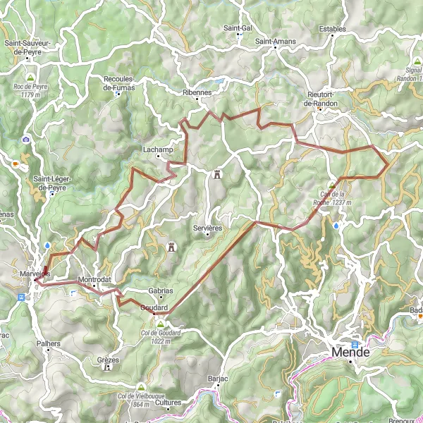
This round-trip cycling route takes you through the beautiful Languedoc-Roussillon region in France. With a total distance of 60 kilometers and an ascent of 1165 meters, this route offers a challenging but rewarding cycling experience. The route is suitable for gravel bikes and will take you through picturesque landscapes, charming villages, and historical sites.
gravel
60 km
1165 m
Tough
Route profile
Highlights on the route
0 km
0 km
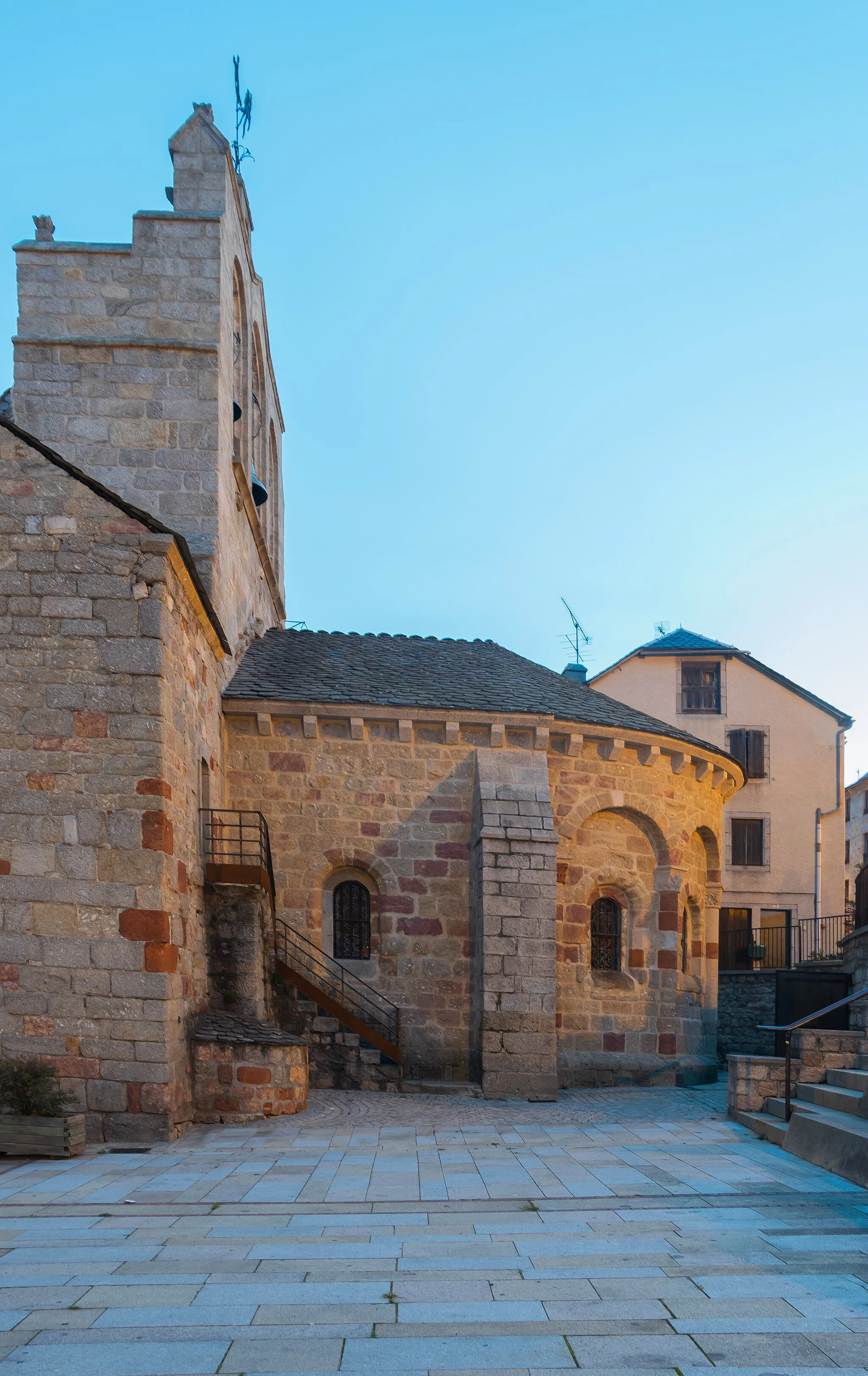
Start: Marvejols Village centerMarvejols: Conquer legendary climbs in Languedoc-Roussillon
Marvejols is a charming town located in Languedoc-Roussillon, France. From a cyclist's point of view, Marvejols offers a mix of climbing opportunities, rolling countryside roads, and scenic landscapes. The area is known for its challenging climbs and hilly routes, attracting avid cyclists seeking thrilling rides. One well-known cycling-related spot nearby is Mont Aigoual, a legendary climb that has featured in the Tour de France. With its exciting terrain and cycling-friendly atmosphere, Marvejols receives a cyclist perspective rank of 5, making it an exceptional destination for road and gravel biking.38 km
38 km
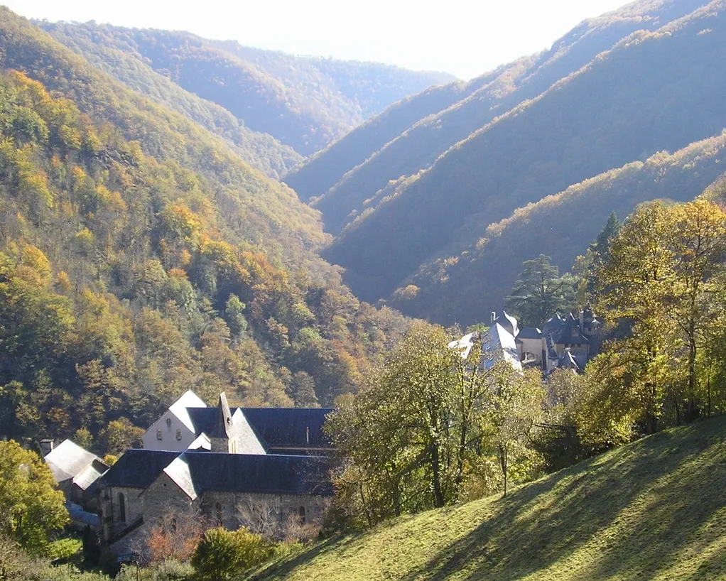
Can de la Roche1237 mMountain PassLocated 38 kilometers into the route, Can de la Roche is a hidden gem, offering breathtaking views of the surrounding countryside. Take a moment to appreciate the natural beauty and tranquility of this spot.
51 km
51 km
Col de Goudard1022 mMountain PassAt the 51-kilometer mark, you will encounter Col de Goudard, a challenging climb that rewards you with stunning panoramic views at the top. Test your climbing skills and be rewarded with a sense of accomplishment.
57 km
57 km
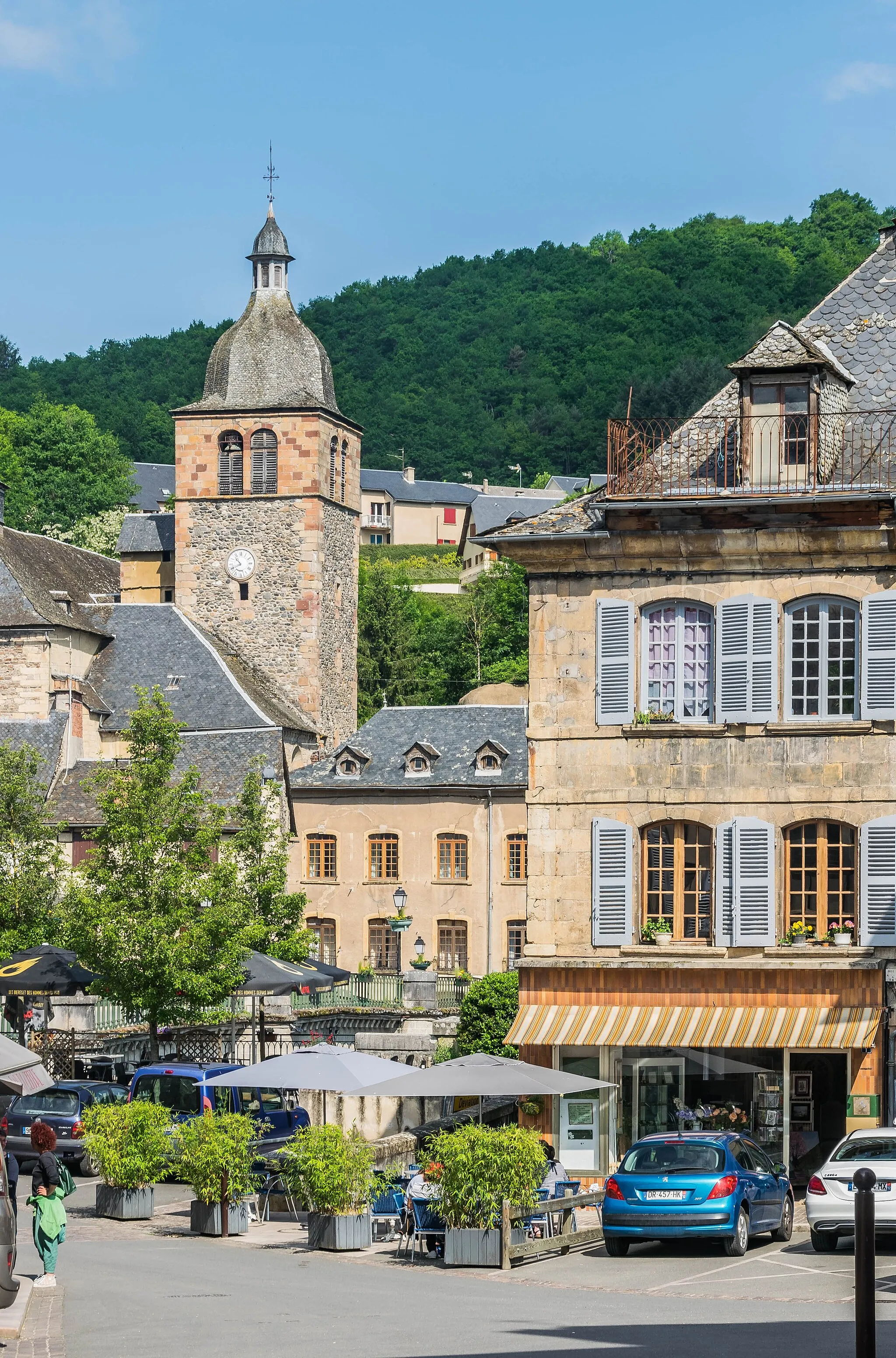
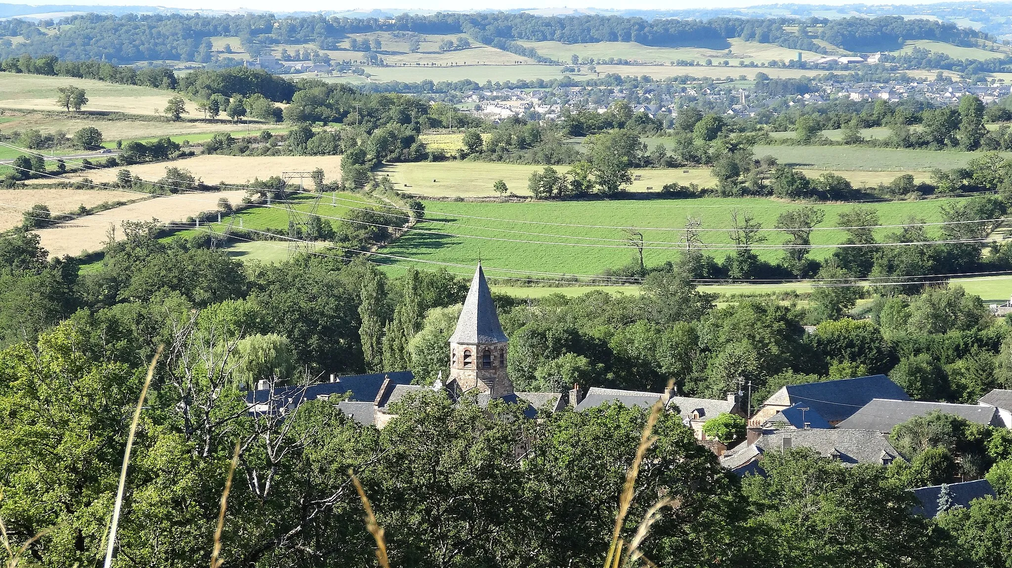
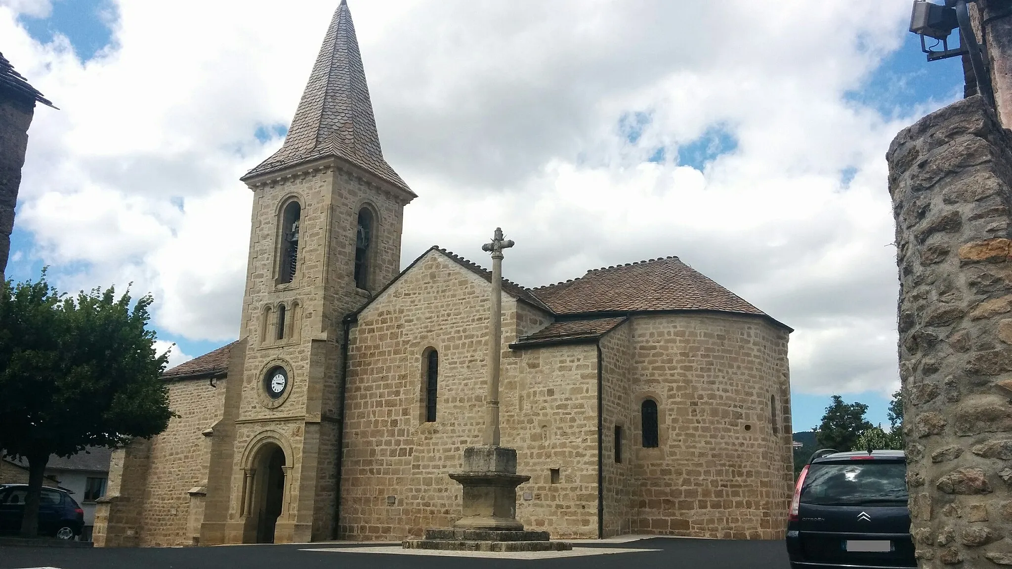
MontrodatVillageAs you approach the end of the route, you will reach Montrodat, a charming village filled with historical charm. Explore the quaint streets and indulge in some local delicacies before heading back.
60 km
60 km
Finish: Marvejols Village centerMarvejols: Conquer legendary climbs in Languedoc-Roussillon
Cycling routes from Marvejols:
Balsièges and La Canourgue Scenic Road Loop The Gravel Adventure of Vielbougue The Peaks of Peyre Montrodat and Esclanèdes Gravel Adventure The Valleys of Chirac The Scenic Trails of Chanac Estables and Col de Goudard Loop Palhers and Château de Saint-Saturnin Adventure Bourgs sur Colagne and Col du Trébatut Loop The Hills of Marvejols Gravel Ride through Marvejols
Cycling routes nearby: