![Cover image](https://images.tarmacs.app/cycling-routes/photos/france/languedoc-roussillon/2898320420/le-malzieu-ville-1.webp)
Hidden Gems of Margeride
A gravel cycling route starting from Saint-Chely-d'Apcher
Uncover the hidden gems of the Margeride region on this scenic gravel cycling route.
![Map miniature of "Hidden Gems of Margeride" cycling inspiration in Languedoc-Roussillon, France. Generated by Tarmacs.app cycling route planner](https://images.tarmacs.app/cycling-routes/routemaps/600/france/languedoc-roussillon/saint-chely-d-apcher/gravel/48128.webp)
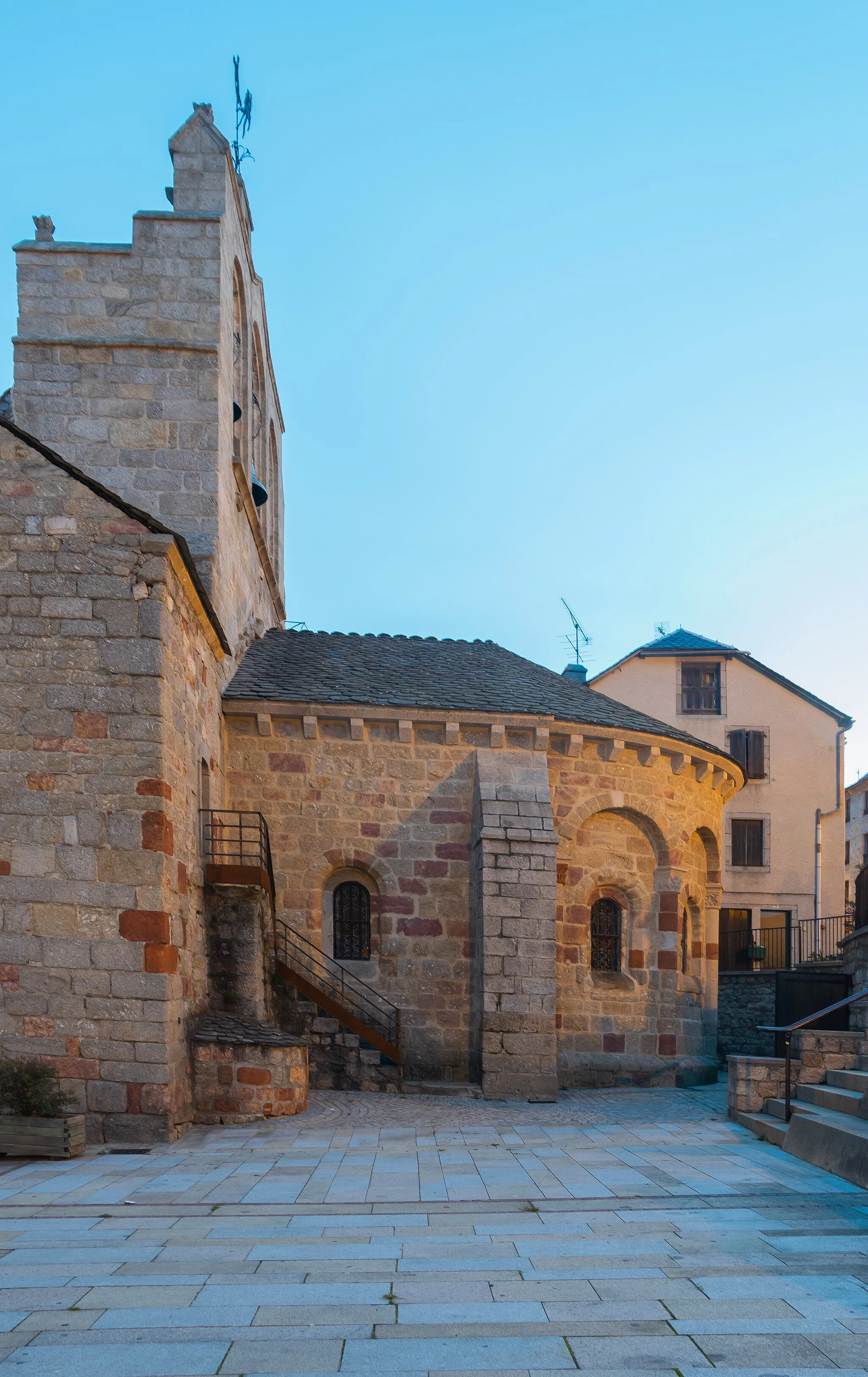
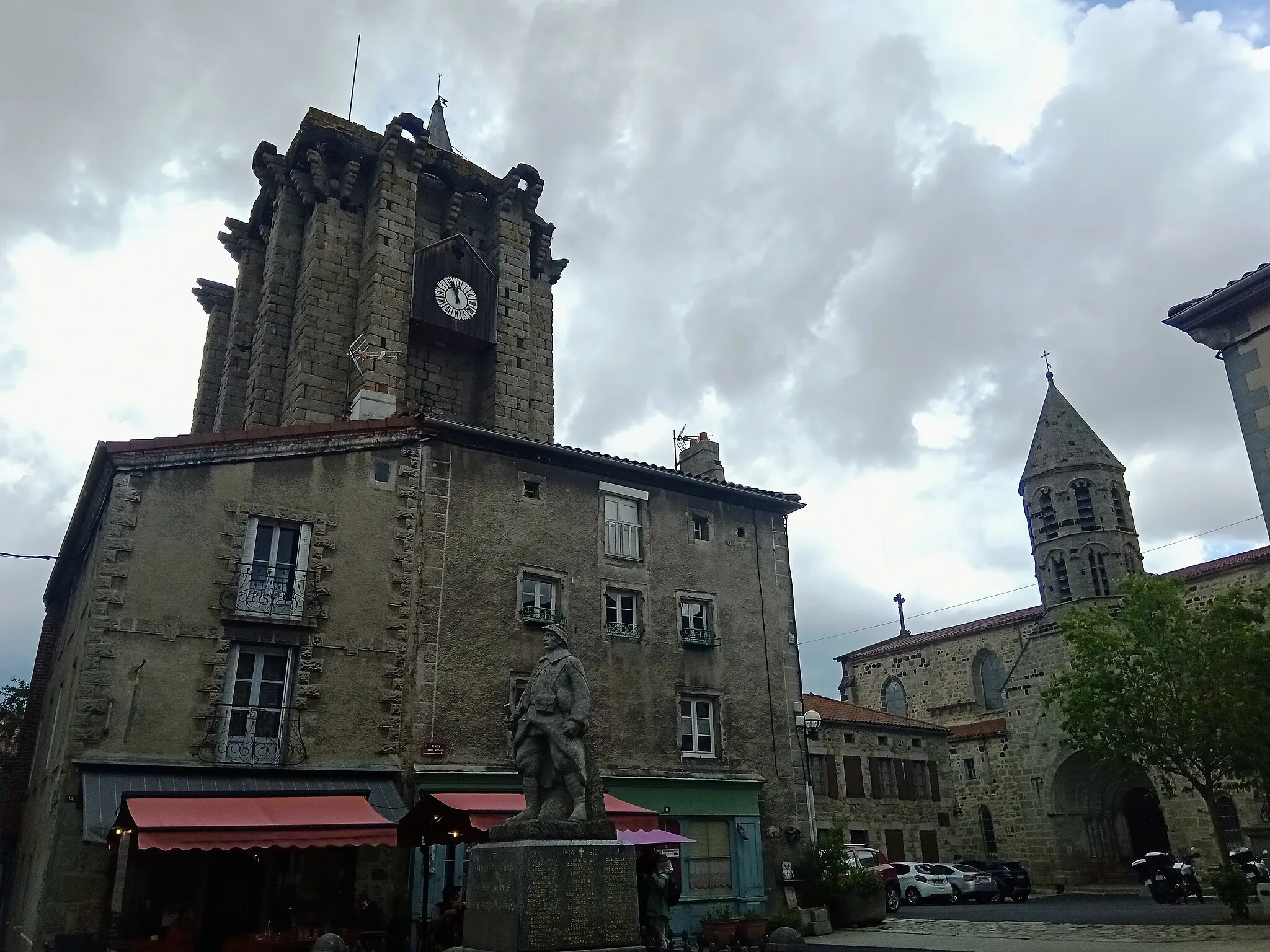
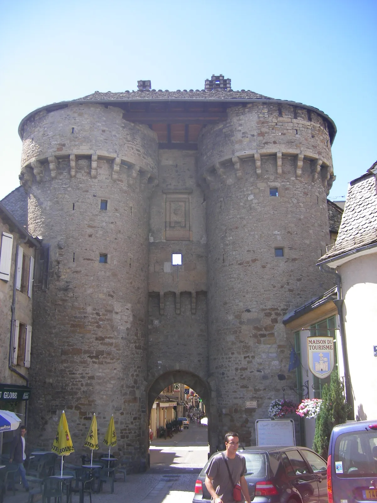
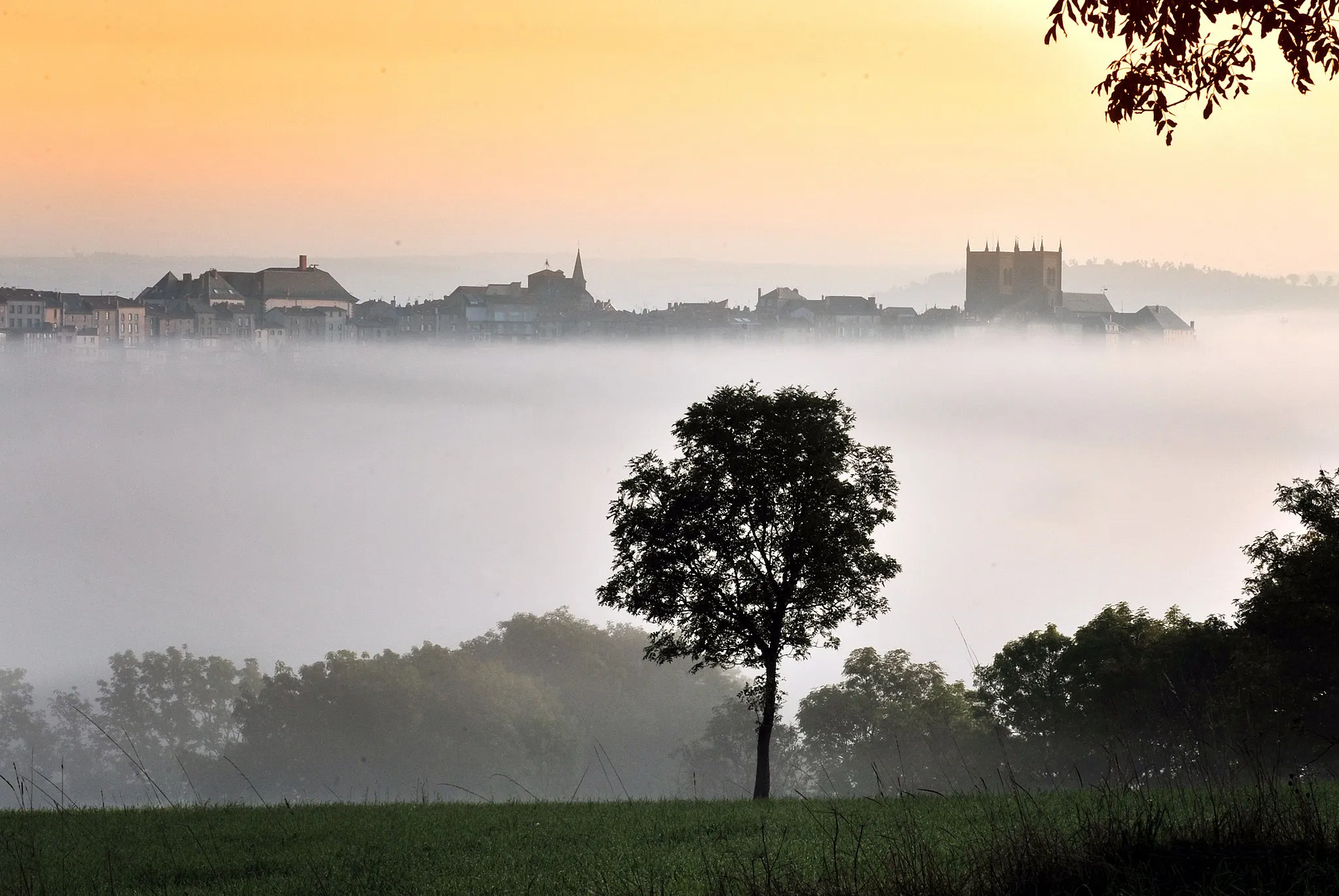
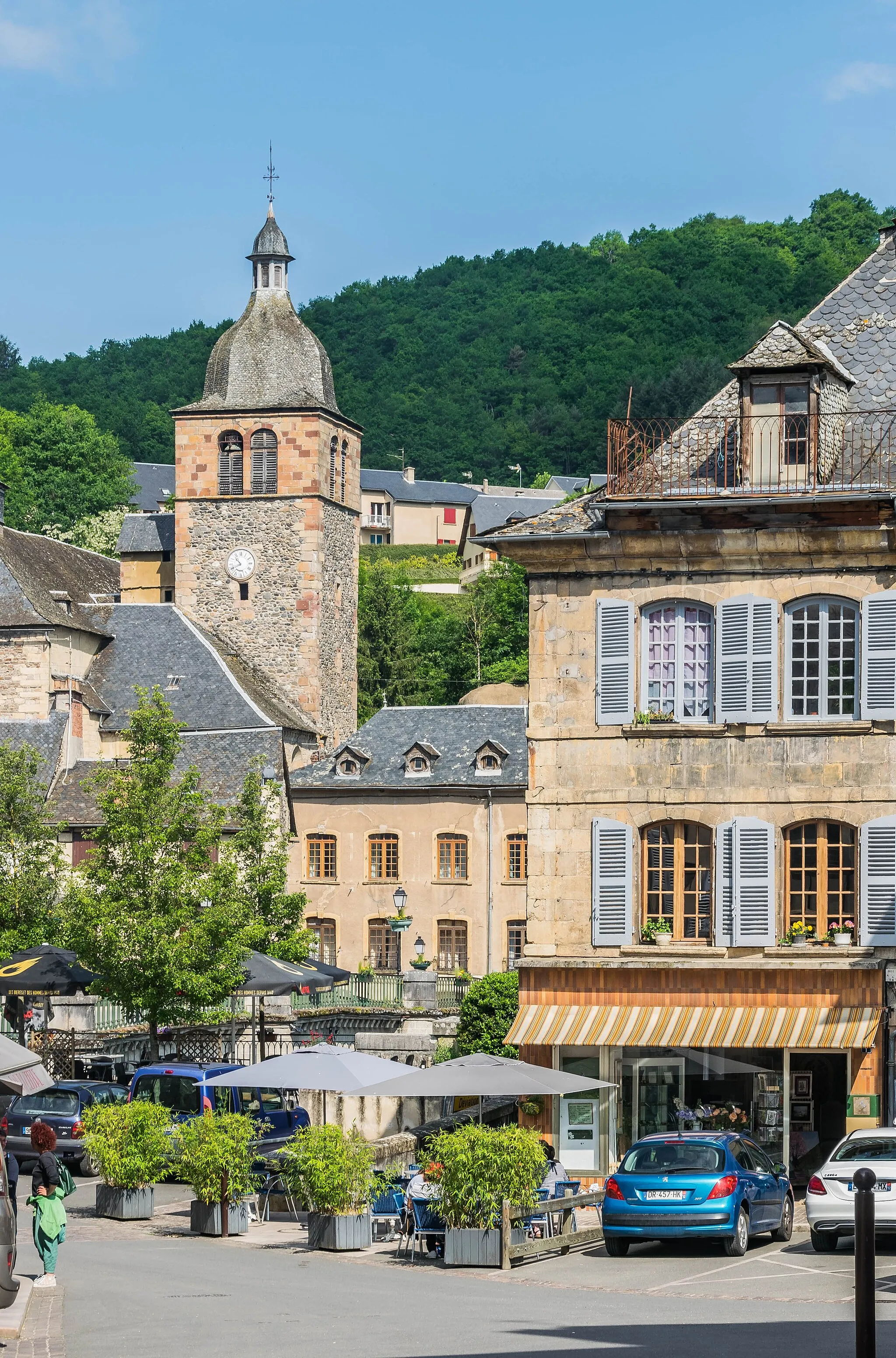
If you're looking for a more off-the-beaten-path experience, this gravel cycling route near Saint-Chély-d'Apcher is the perfect choice. With a total distance of 92 kilometers and an ascent of 2262 meters, it offers a challenging adventure through the scenic landscapes of Margeride. Along the way, cyclists will encounter hidden gems such as Rocher de Frirou, a majestic rocky outcrop offering panoramic views of the surrounding wilderness. Chaliers, a picturesque village, provides a charming stopover with its traditional stone houses and idyllic countryside setting. Another highlight of this route is Mont Mouchet, a historical site that played a significant role during World War II. Cyclists will also have the opportunity to immerse themselves in nature and visit the Signal de Margeride, a mountain peak offering breathtaking vistas. Make sure to take a moment and admire the beauty of Auzenc, a small village with rustic charm and stunning pastoral landscapes.
Highlights on the route
Cycling routes from Saint-Chely-d'Apcher:
Cycling routes nearby:
![Image of Saint-Alban-sur-Limagnole](https://images.tarmacs.app/cycling-routes/covers/france/languedoc-roussillon/saint-alban-sur-limagnole-3.webp)
![Image of Saugues](https://images.tarmacs.app/cycling-routes/covers/france/auvergne/saugues-2.webp)
![Image of Marvejols](https://images.tarmacs.app/cycling-routes/covers/france/languedoc-roussillon/marvejols-5.webp)
![Image of Saint-Flour](https://images.tarmacs.app/cycling-routes/covers/france/auvergne/saint-flour-5.webp)
![Image of Mende](https://images.tarmacs.app/cycling-routes/covers/france/languedoc-roussillon/mende-3.webp)
![Image of Langeac](https://images.tarmacs.app/cycling-routes/covers/france/auvergne/langeac-5.webp)
![Image of La Canourgue](https://images.tarmacs.app/cycling-routes/covers/france/languedoc-roussillon/la-canourgue-4.webp)
![Image of Saint-Geniez-d'Olt](https://images.tarmacs.app/cycling-routes/covers/france/midi-pyrenees/saint-geniez-d-olt-5.webp)
![Image of Langogne](https://images.tarmacs.app/cycling-routes/covers/france/languedoc-roussillon/langogne-3.webp)