Road Route around Villeneuve-lès-Béziers
A road cycling route starting from Villeneuve-les-Beziers
Experience the open roads and beautiful countryside around Villeneuve-lès-Béziers
Map
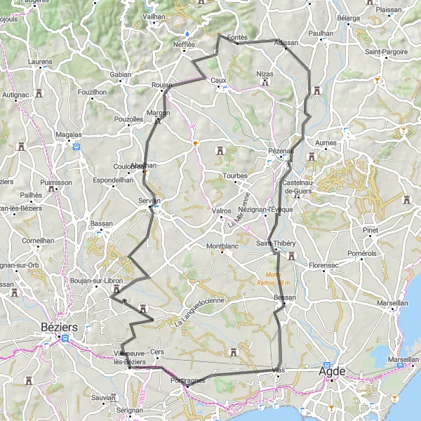
This road route takes you through the open roads and beautiful countryside surrounding Villeneuve-lès-Béziers. With a total ascent of 491 meters and a distance of 88 kilometers, this route offers a moderate challenge for well-trained amateurs. Highlights along the route include Abeilhan, Fontès, Saint-Thibéry, Le Fort, and Villeneuve-lès-Béziers.
road
88 km
491 m
Tough
Route profile
Highlights on the route
0 km
0 km
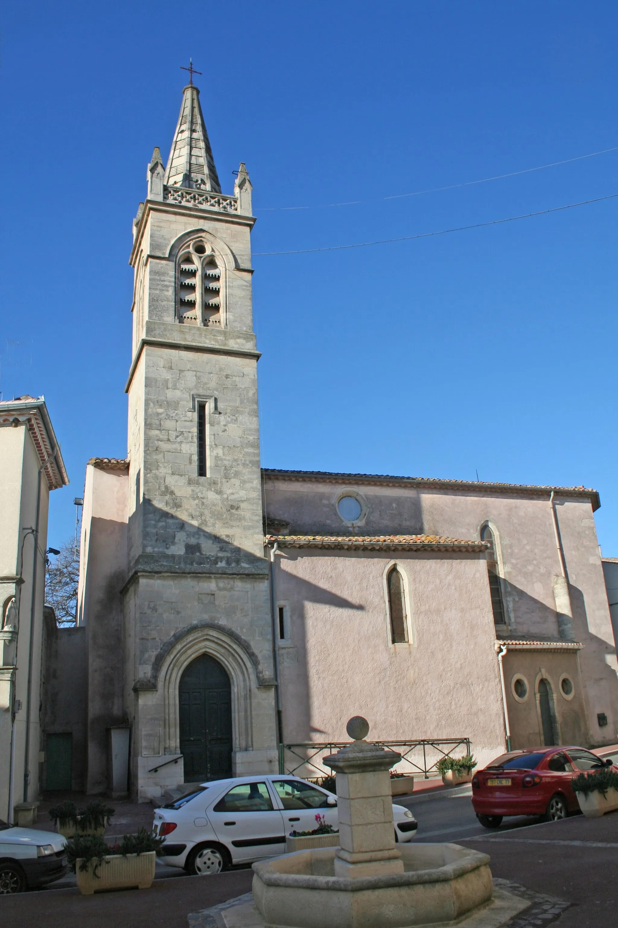
Start: Villeneuve-lès-Béziers Village centerVilleneuve-lès-Béziers: Coastal and inland cycling adventures in Villeneuve-lès-Béziers
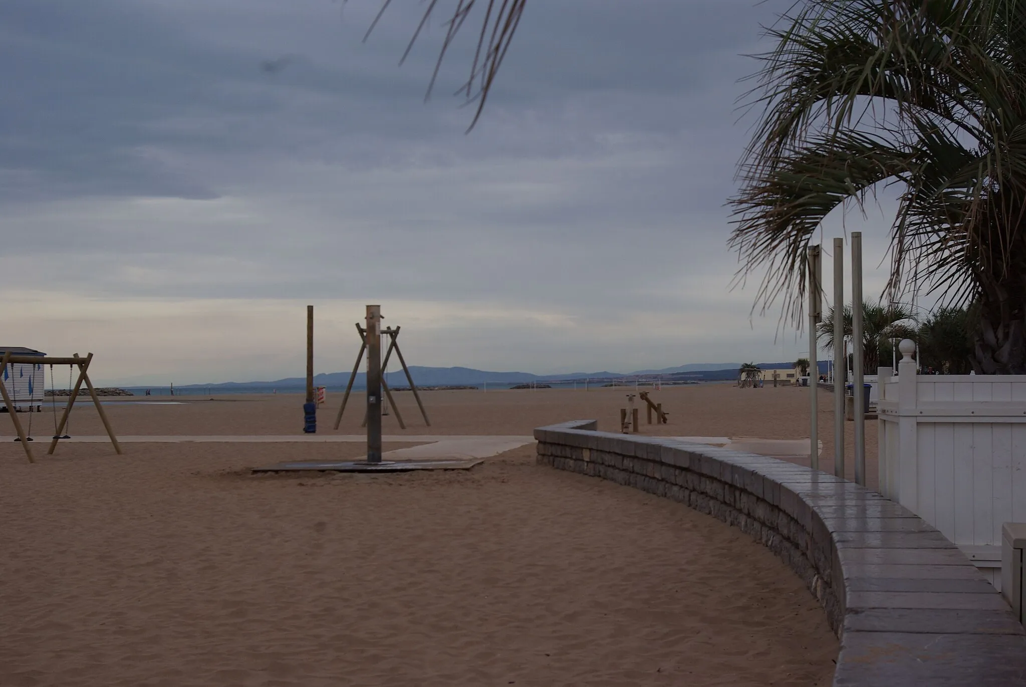
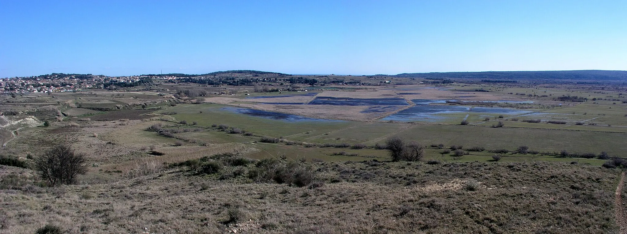
Villeneuve-lès-Béziers, located in the Languedoc-Roussillon region of France, is a cycling-friendly locality with a mix of coastal and inland routes. Cyclists can enjoy the scenic coastal roads that stretch along the Mediterranean Sea or venture inland to discover charming vineyards and historic villages. Not too far from Villeneuve-lès-Béziers is the Canal du Midi, a UNESCO World Heritage Site that offers a beautiful cycling path along its length. With its diverse landscapes and captivating heritage, Villeneuve-lès-Béziers is a great choice for cyclists seeking varied and memorable rides.25 km
25 km
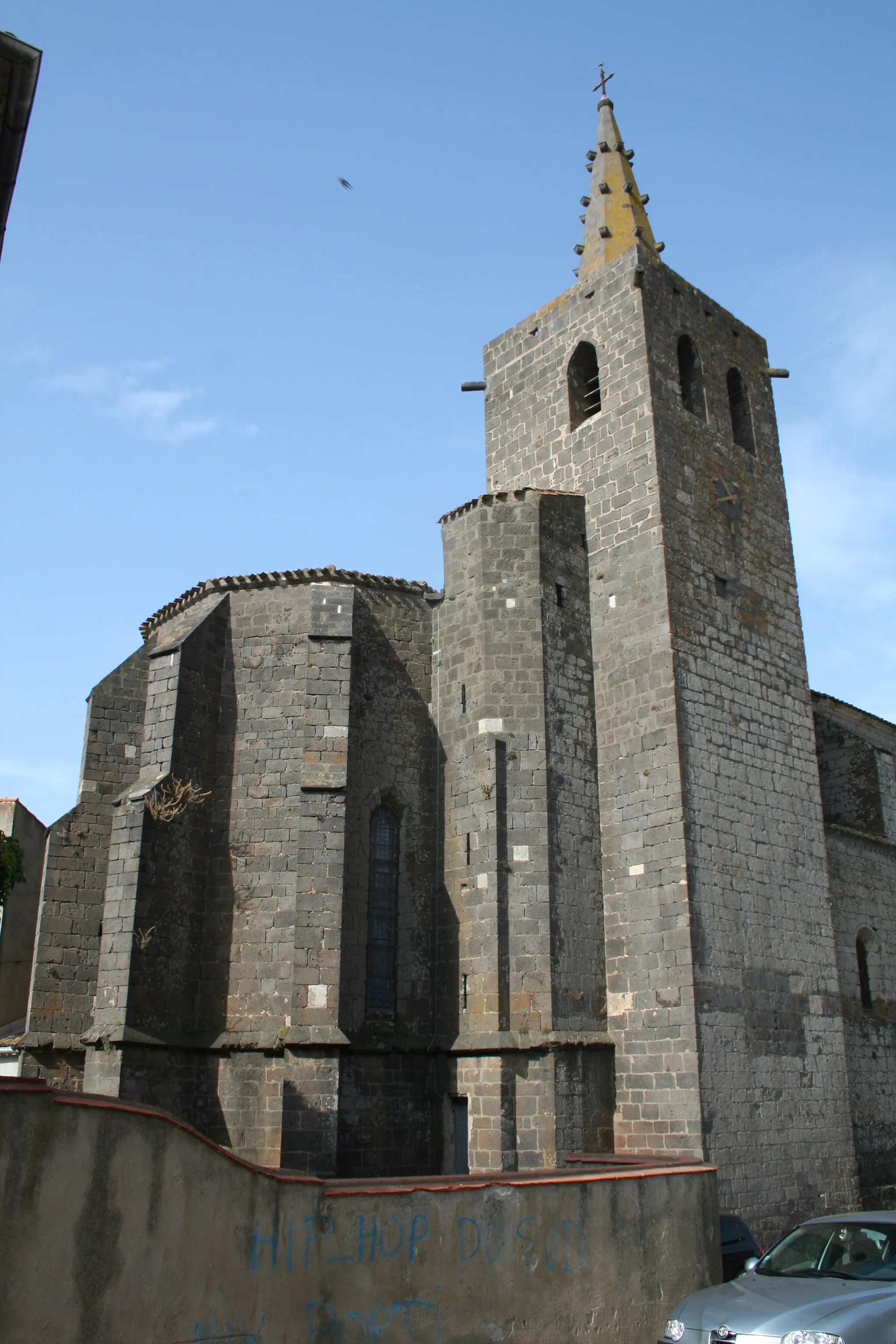
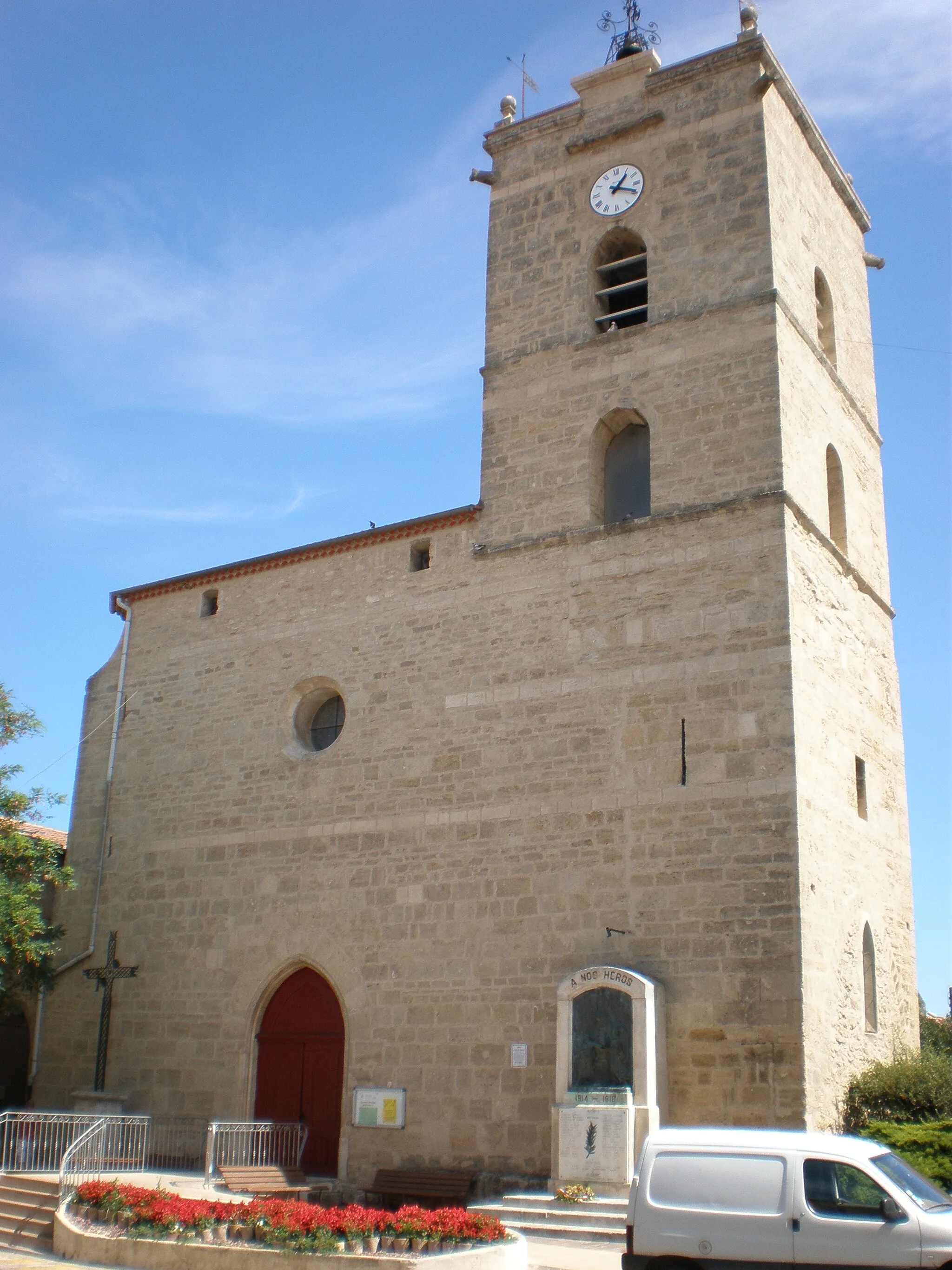
AbeilhanVillageVisit the charming village of Abeilhan, known for its historic church and peaceful ambiance.
42 km
42 km
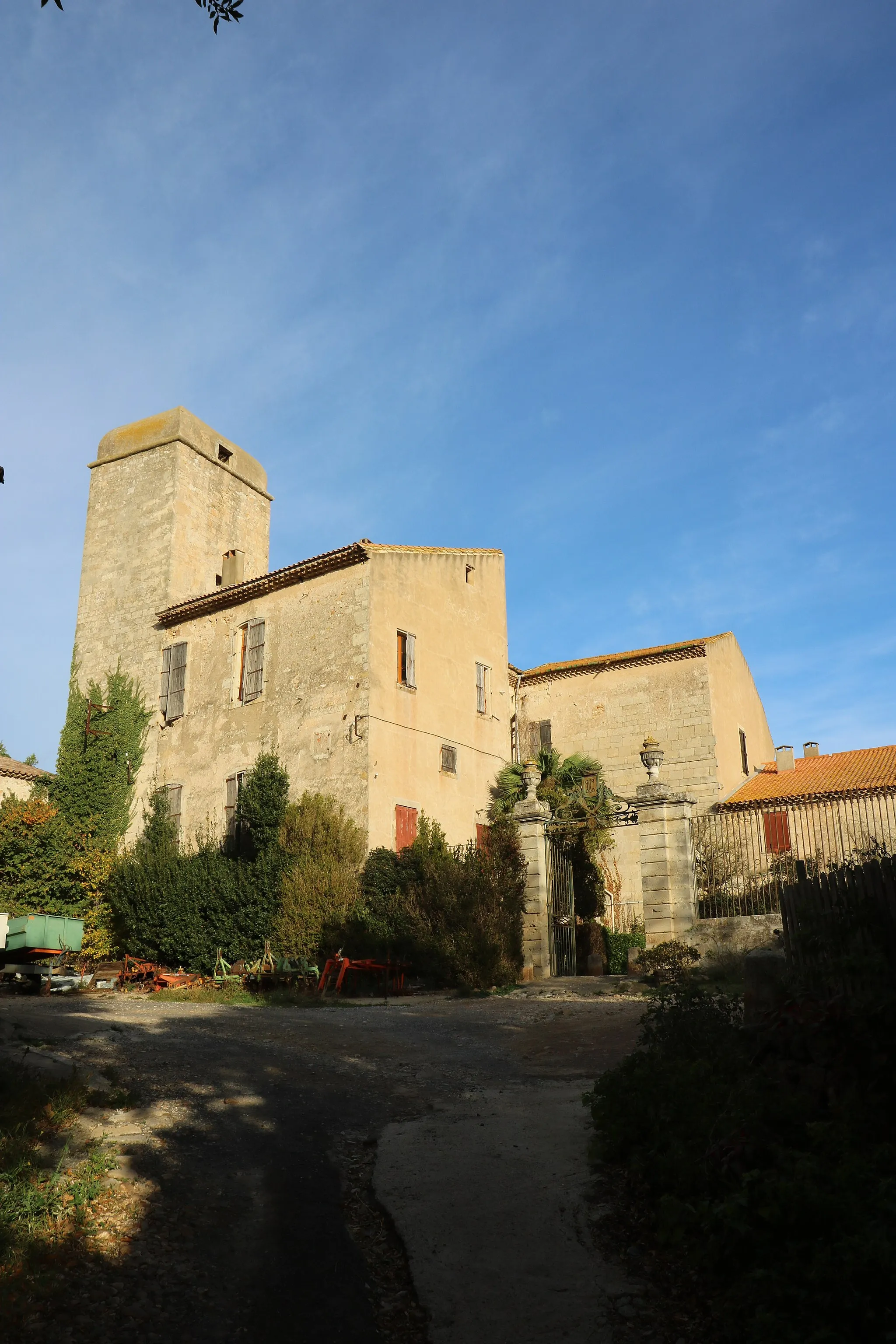
FontèsVillageExplore Fontès, a picturesque village with narrow streets and an ancient château.
64 km
64 km
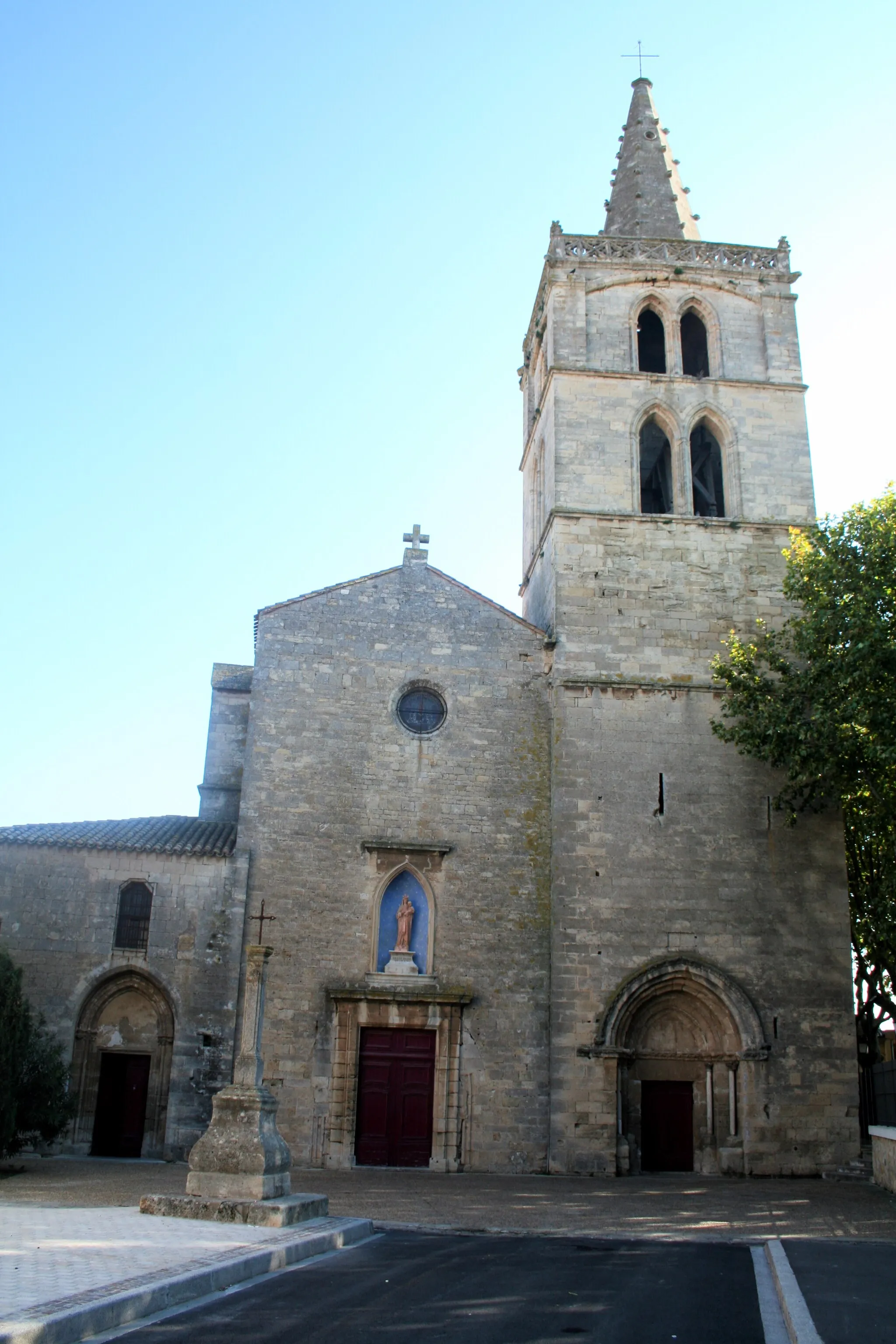
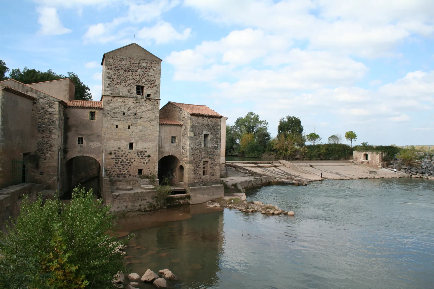
Saint-ThibéryVillageCycle through Saint-Thibéry and admire its Romanesque church and medieval bridge over the River Hérault.
65 km
65 km
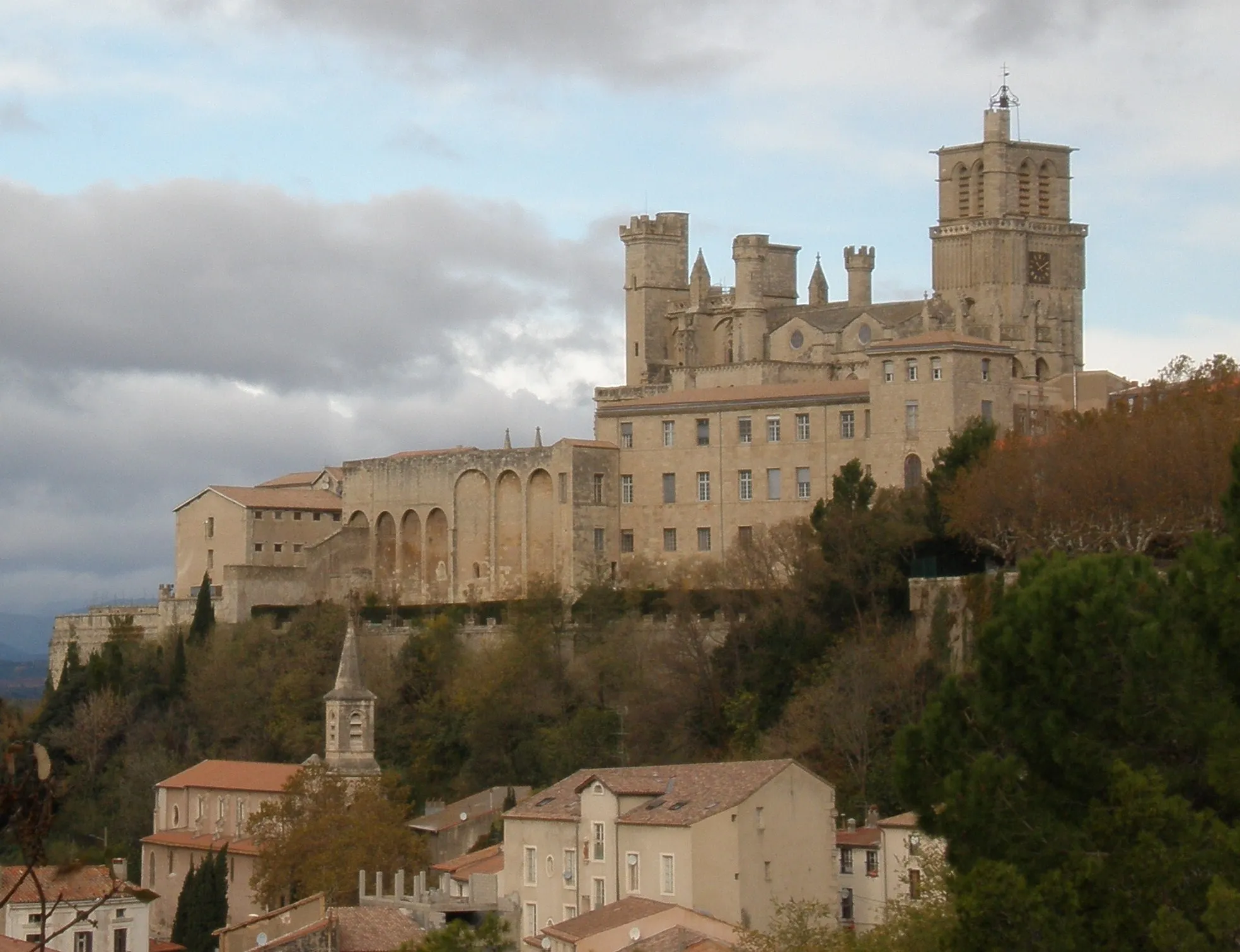
Le FortViewpointStop at Le Fort, a historical site offering panoramic views of the surrounding vineyards and the Mediterranean Sea.
87 km
87 km
Villeneuve-lès-BéziersVillageStart and finish your ride in Villeneuve-lès-Béziers, a charming village situated on the banks of the Canal du Midi.
88 km
88 km
Finish: Villeneuve-lès-Béziers Village centerVilleneuve-lès-Béziers: Coastal and inland cycling adventures in Villeneuve-lès-Béziers
Cycling routes from Villeneuve-les-Beziers:
The Rolling Hills Gravel Route around Villeneuve-lès-Béziers The Béziers Highlights Challenging Road Route to Villeneuve-lès-Béziers The Gravel Adventure Road Route around Villeneuve-lès-Béziers Ultimate Road Cycling Adventure to Villeneuve-lès-Béziers The Gravel Escape Scenic Gravel Route to Villeneuve-lès-Béziers Cultural Gravel Route to Villeneuve-lès-Béziers
Cycling routes nearby: