The Dolmen Trail
A gravel cycling route starting from Nantiat
Explore ancient history on this gravel route
Map
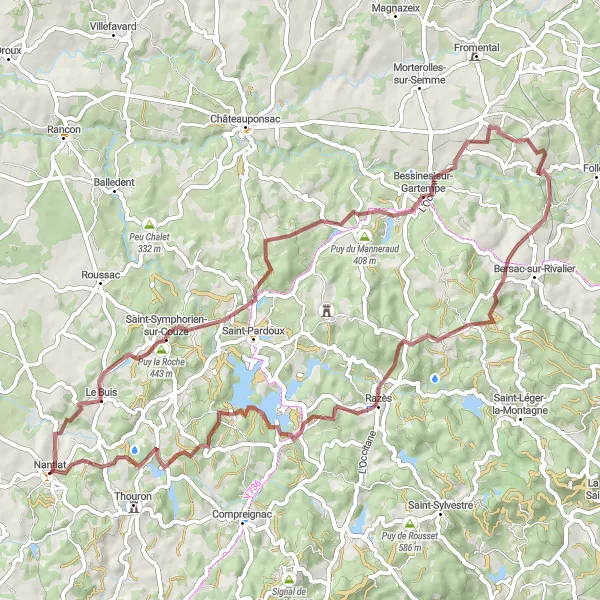
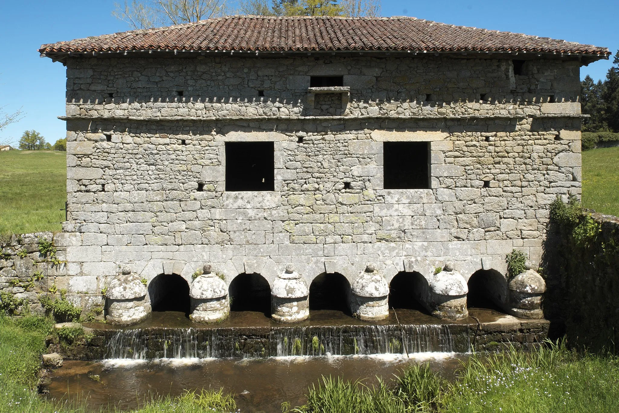
The Dolmen Trail is a unique gravel route that takes you through the ancient history of the region. With a distance of 66km and an elevation gain of 1049m, this route offers a challenging ride for gravel enthusiasts. Highlights along the way include the Dolmen du Montheil, a prehistoric burial site dating back thousands of years, and the picturesque village of Bessines-sur-Gartempe. Puytrin, with its stunning views and tranquil atmosphere, is another highlight worth exploring. Overall, the Dolmen Trail is a great choice for those interested in history and looking for a challenging gravel ride.
gravel
66 km
1049 m
Tough
Route profile
Highlights on the route
0 km
0 km
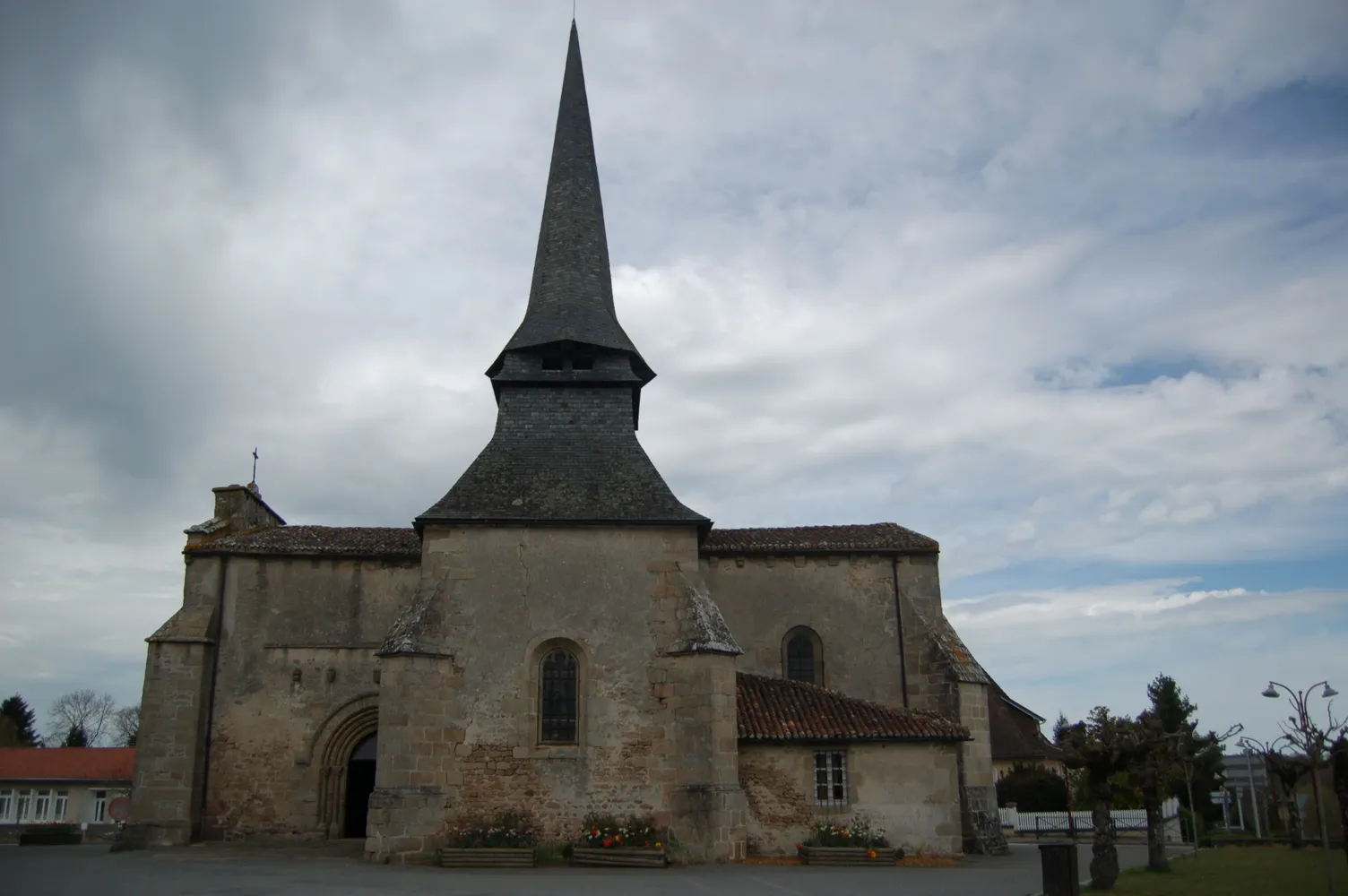
Start: Nantiat Village centerNantiat: Picturesque Cycling in Nantiat
Nantiat is a locality located in Limousin, France. For road and gravel cyclists, it offers moderately hilly terrain with scenic countryside views. The roads are generally well maintained, providing enjoyable rides through the picturesque landscapes. While there may not be any famous cycling spots or renowned climbs nearby, Nantiat's charming ambiance and scenic routes make it a suitable destination for cycling enthusiasts. It scores a solid 3 on the cyclist's ranking due to its pleasant riding conditions and captivating countryside.0 km
0 km
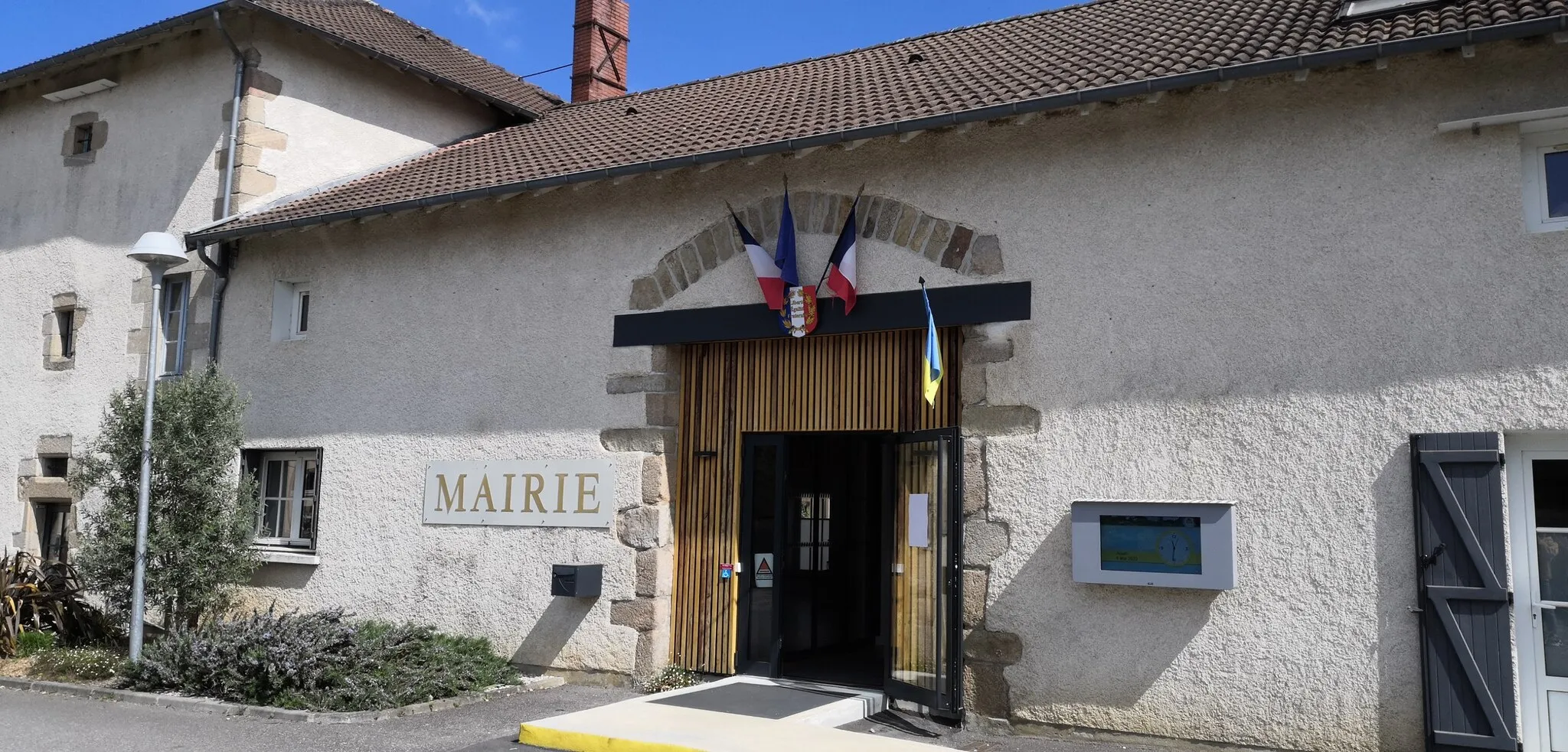
NantiatVillageNantiat is the starting point of the route and a peaceful village with a rich history.
5 km
5 km
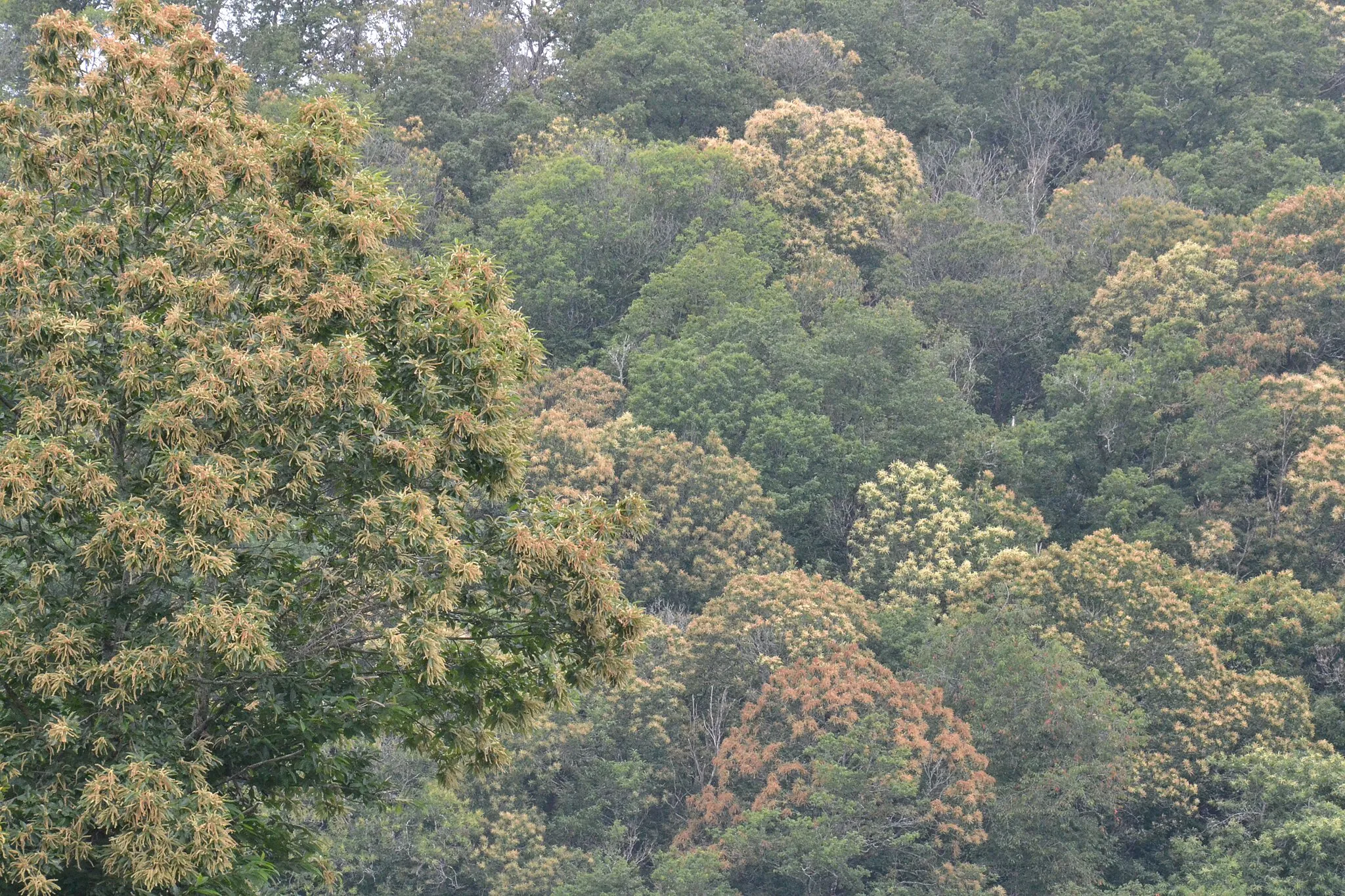
Puy de Royère383 mPeakPuy de Royère is a panoramic viewpoint that offers stunning vistas of the surrounding landscapes.
11 km
11 km
Puy de Redon391 mPeakPuy de Redon is a must-visit highlight along the route, offering breathtaking views of the region.
23 km
23 km
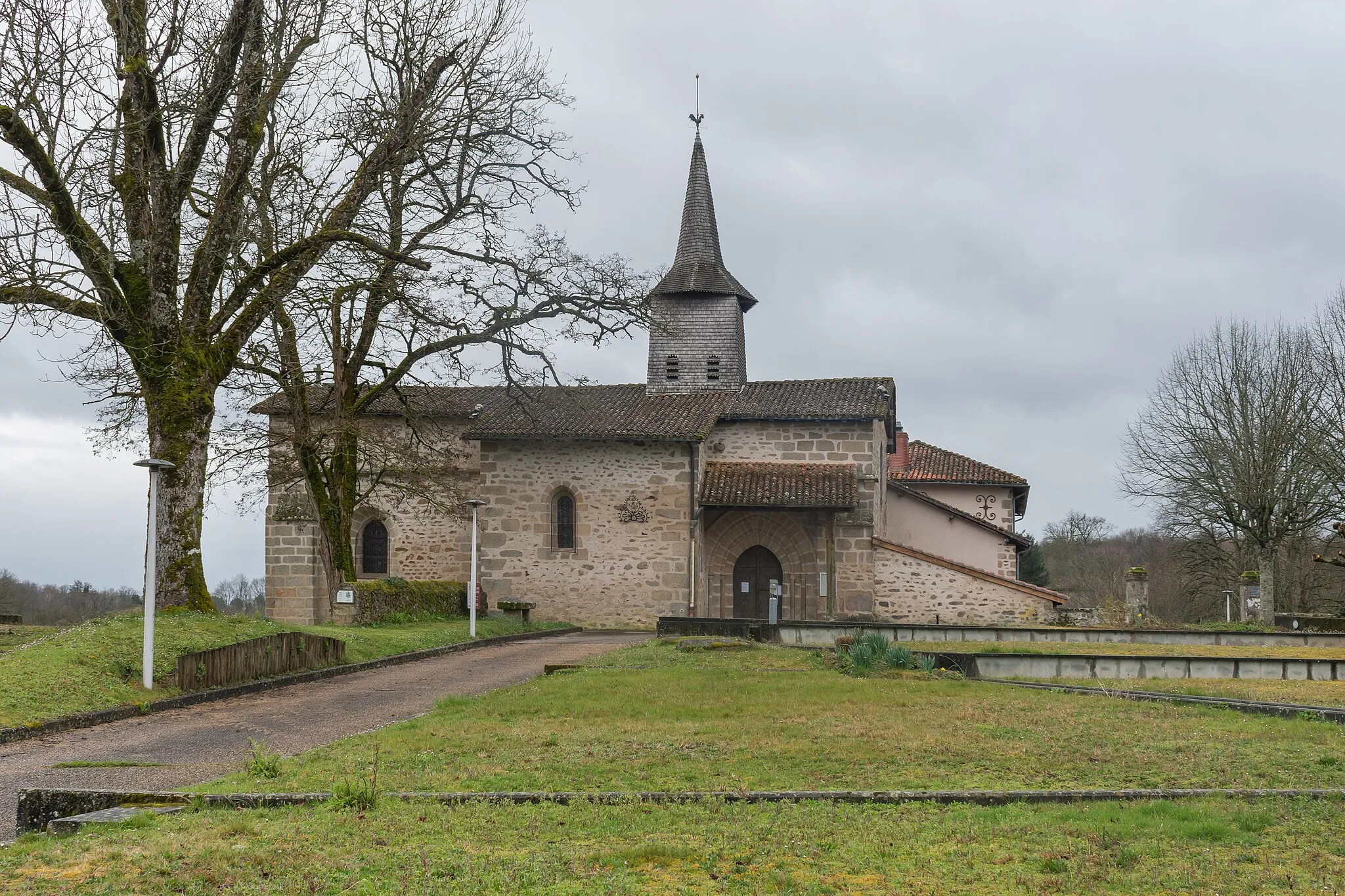
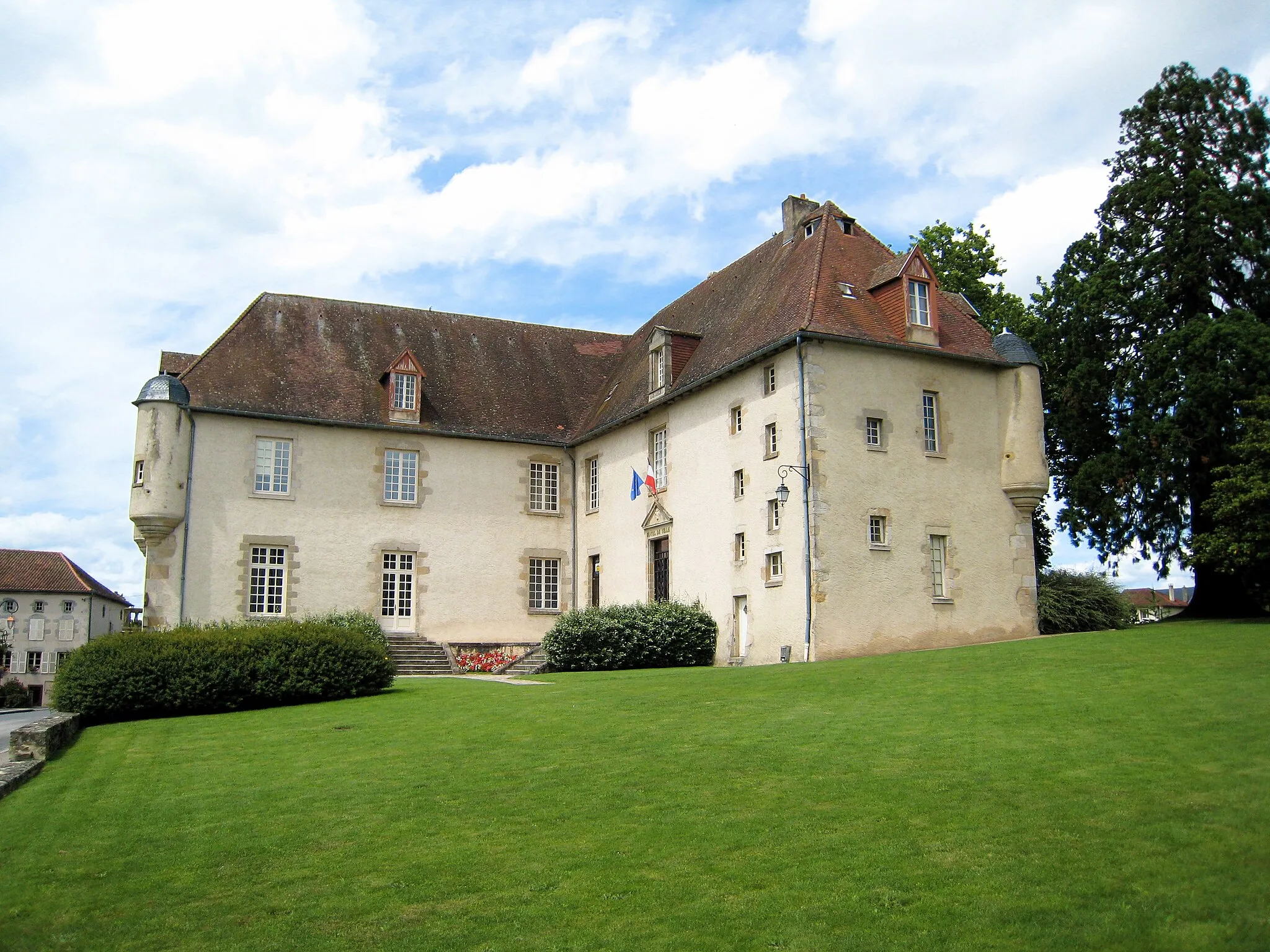
Bessines-sur-GartempeVillageBessines-sur-Gartempe is a picturesque village known for its natural beauty and historical landmarks.
33 km
33 km
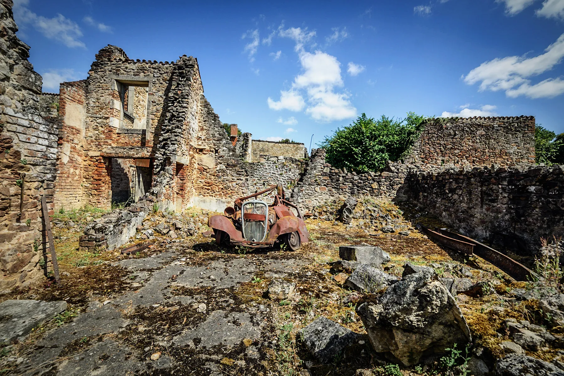
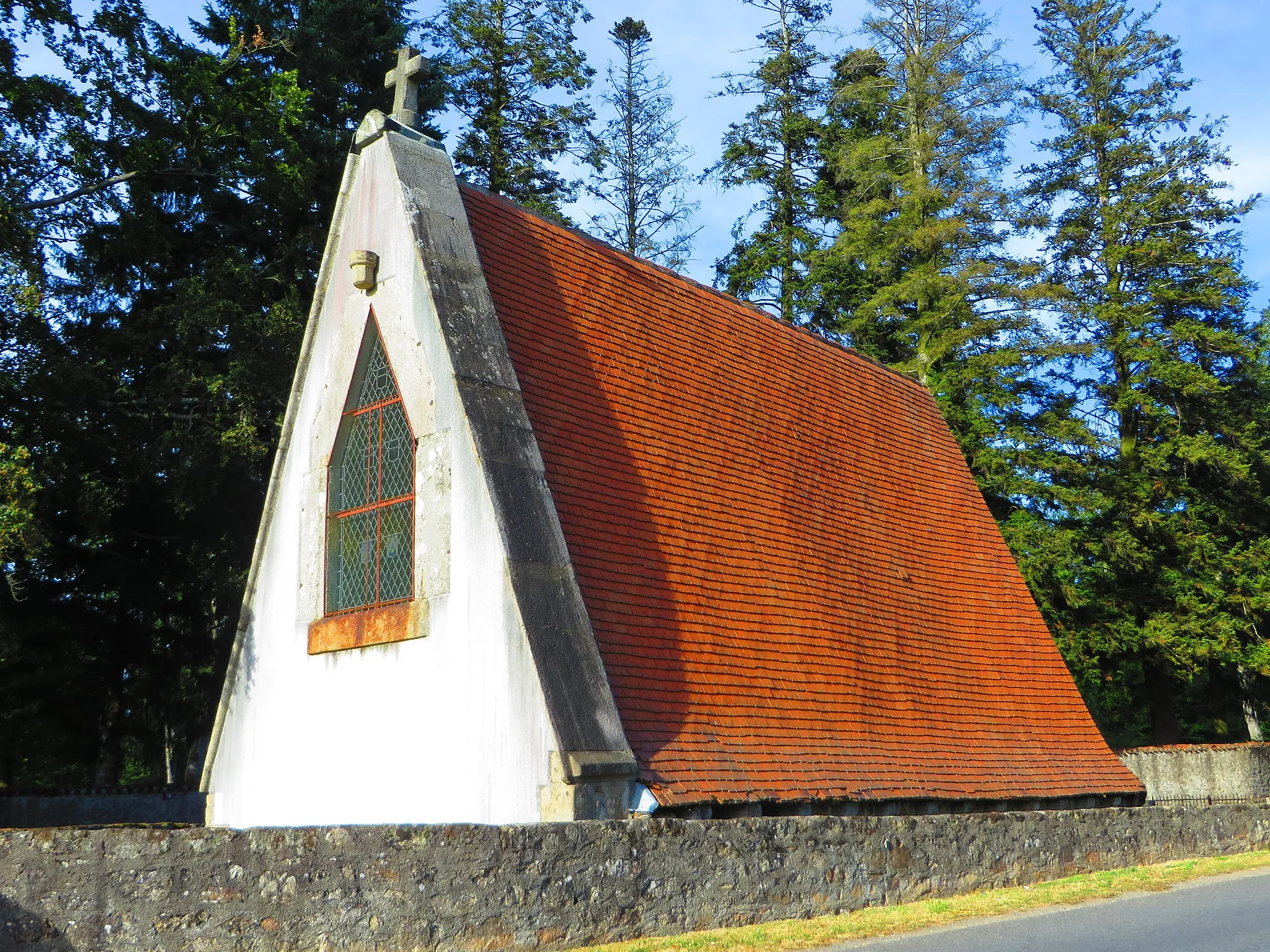
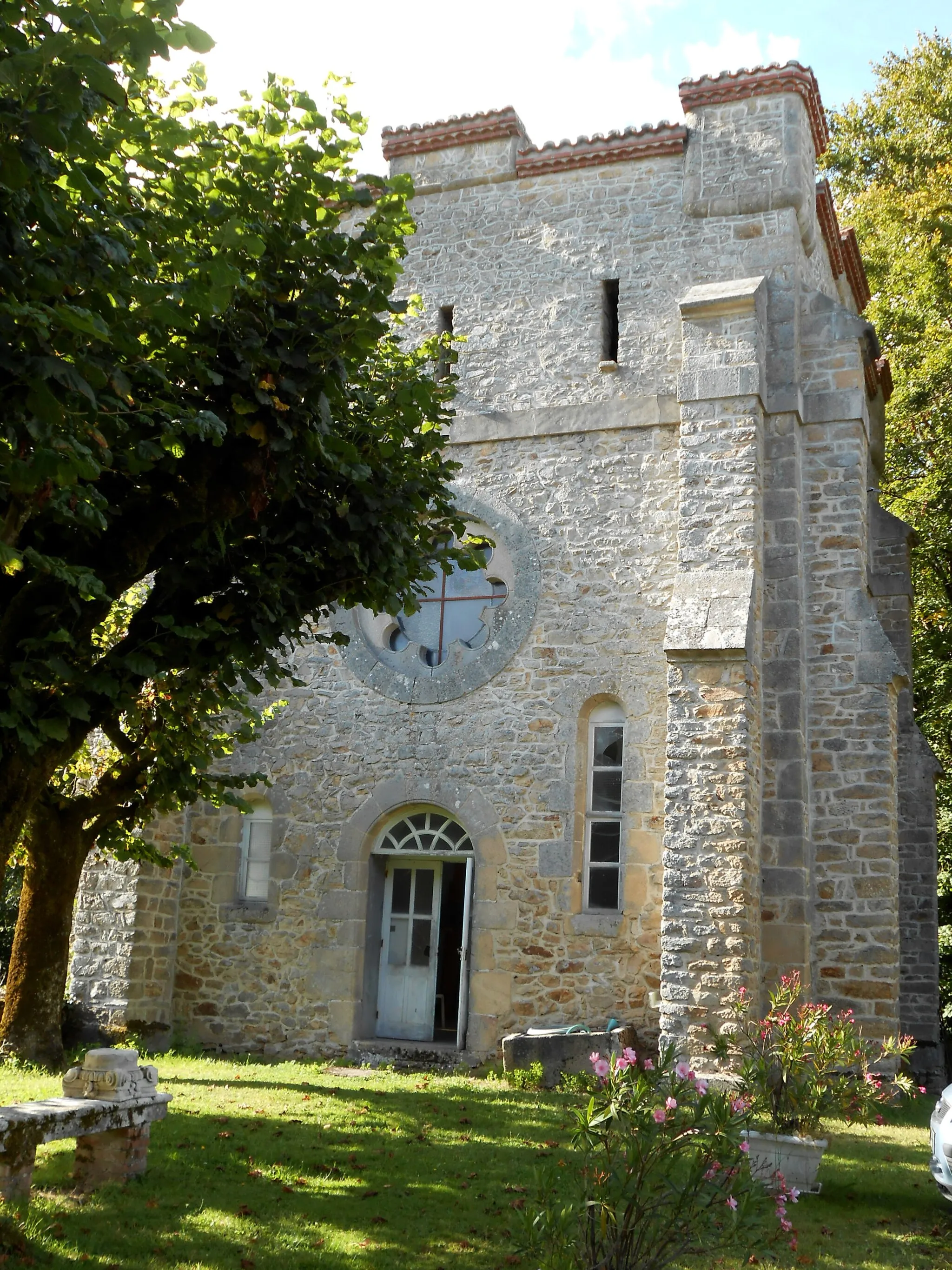
Dolmen du MontheilCastleDolmen du Montheil is a prehistoric burial site of significant historical importance.
43 km
43 km
Puy Redon517 mPeakPuy Redon is a scenic viewpoint that offers panoramic views of the surrounding countryside.
56 km
56 km
Puytrin448 mPeakPuytrin is a charming village with traditional Limousin architecture and stunning vistas.
66 km
66 km
Finish: Nantiat Village centerNantiat: Picturesque Cycling in Nantiat
Cycling routes nearby: