Gravel Ride to Boulay-Moselle
A gravel cycling route starting from Boulay-Moselle
Discover the scenic gravel route near Boulay-Moselle
Map
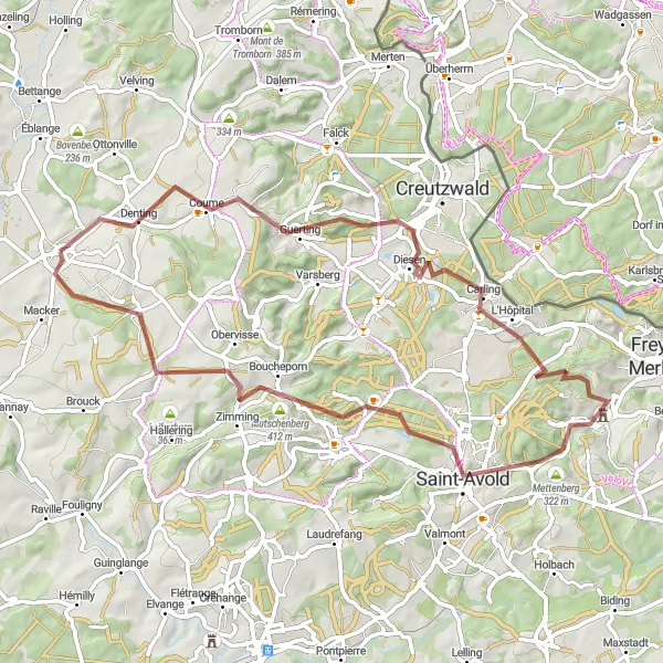
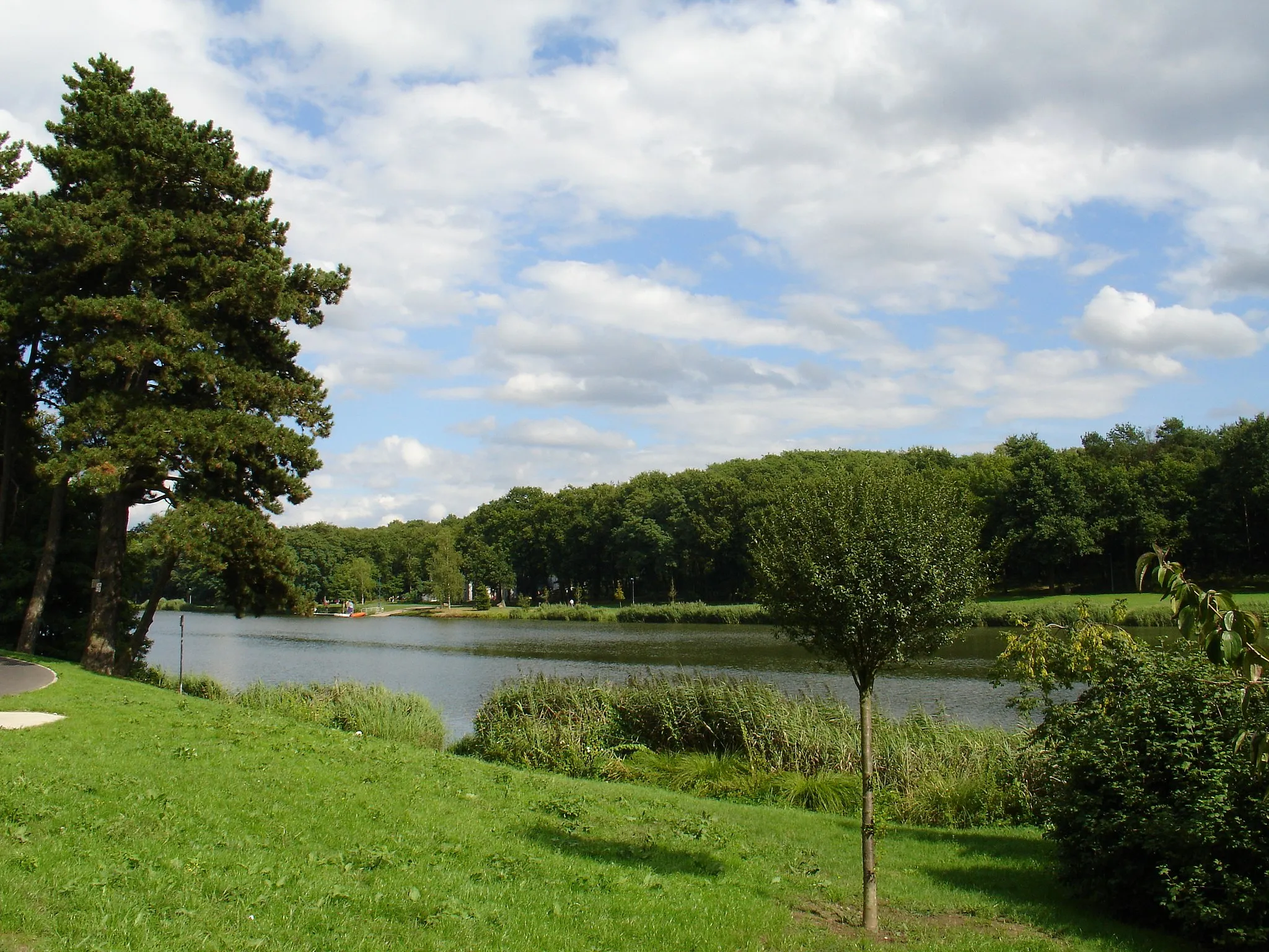
This gravel route near Boulay-Moselle offers a unique experience for adventurous cyclists. With a total distance of 62 km and an ascent of 796 m, it is suitable for seasoned cyclists seeking a challenging yet rewarding adventure. The route showcases the natural beauty of the Lorraine region, passing through picturesque villages and scenic landscapes. Along the route, highlights include the majestic Coume, the charming town of Carling, the stunning Mettenberg, the historic Saint-Avold, the tranquil Longeville-lès-Saint-Avold, and finally, the starting point in Boulay-Moselle. Prepare to be amazed by the diverse landscapes and cultural heritage this area has to offer.
gravel
62 km
796 m
Tough
Route profile
Highlights on the route
0 km
0 km
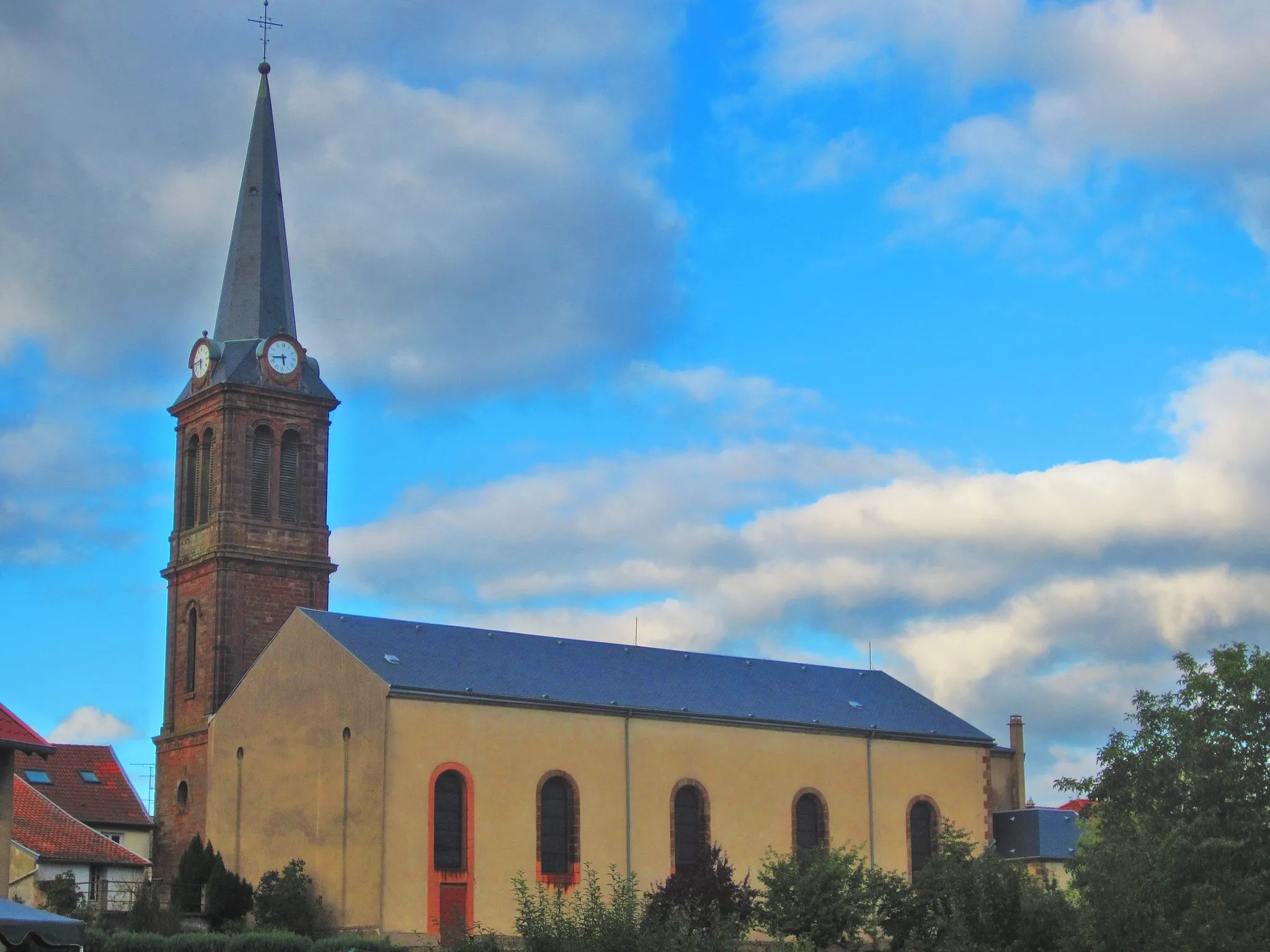
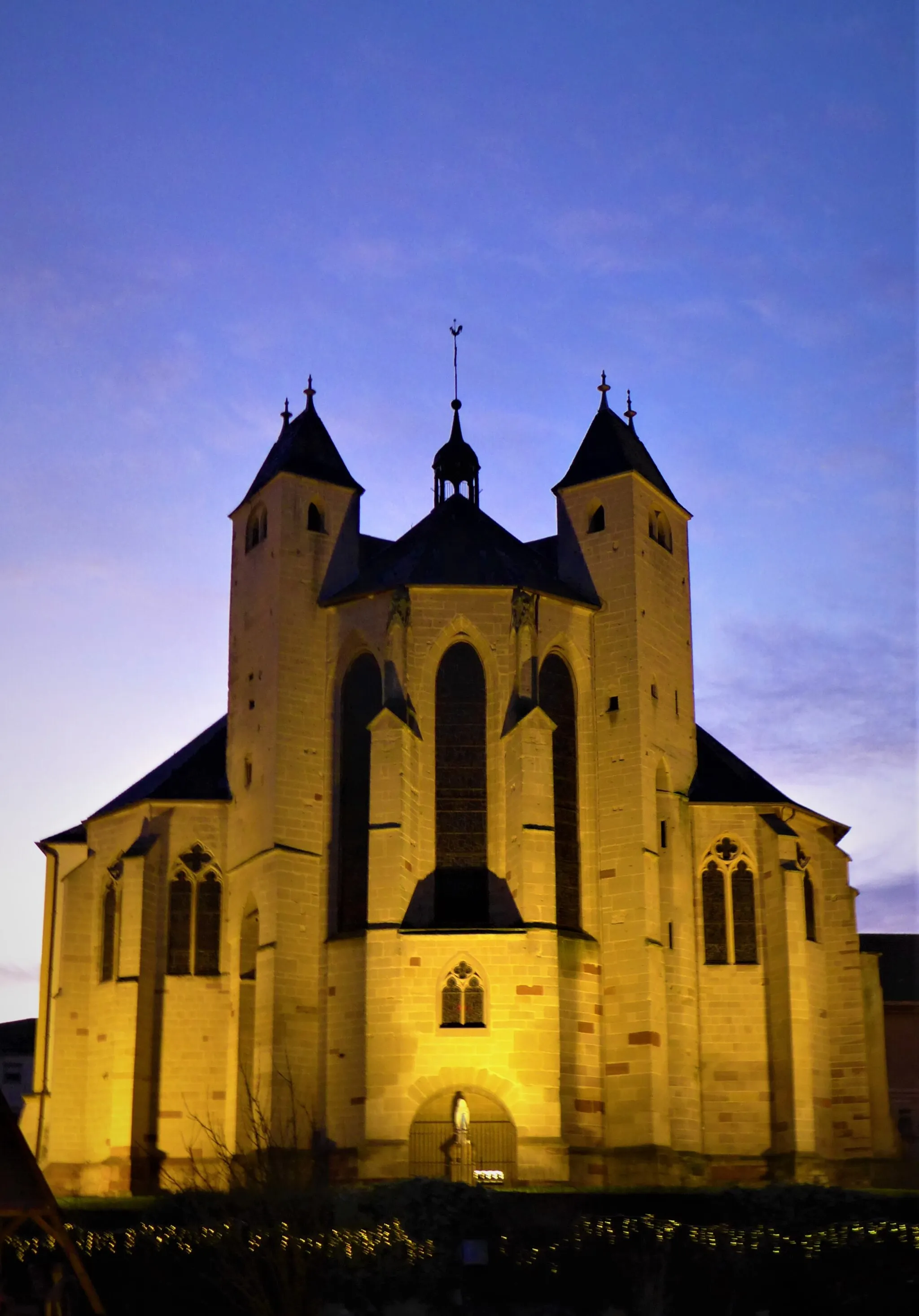
Start: Boulay-Moselle Village centerBoulay-Moselle: Tranquil Countryside Cycling in Lorraine
Boulay-Moselle is a locality located in the Lorraine region of France. As a road and gravel cyclist, Boulay-Moselle offers peaceful countryside routes with beautiful landscapes to discover. The area is known for its rolling hills and quiet roads, making it suitable for cycling enthusiasts who enjoy peaceful rides. While Boulay-Moselle might not have any significant cycling landmarks, it compensates with its tranquil and scenic environment, allowing cyclists to enjoy a relaxing ride away from bustling city life.8 km
8 km
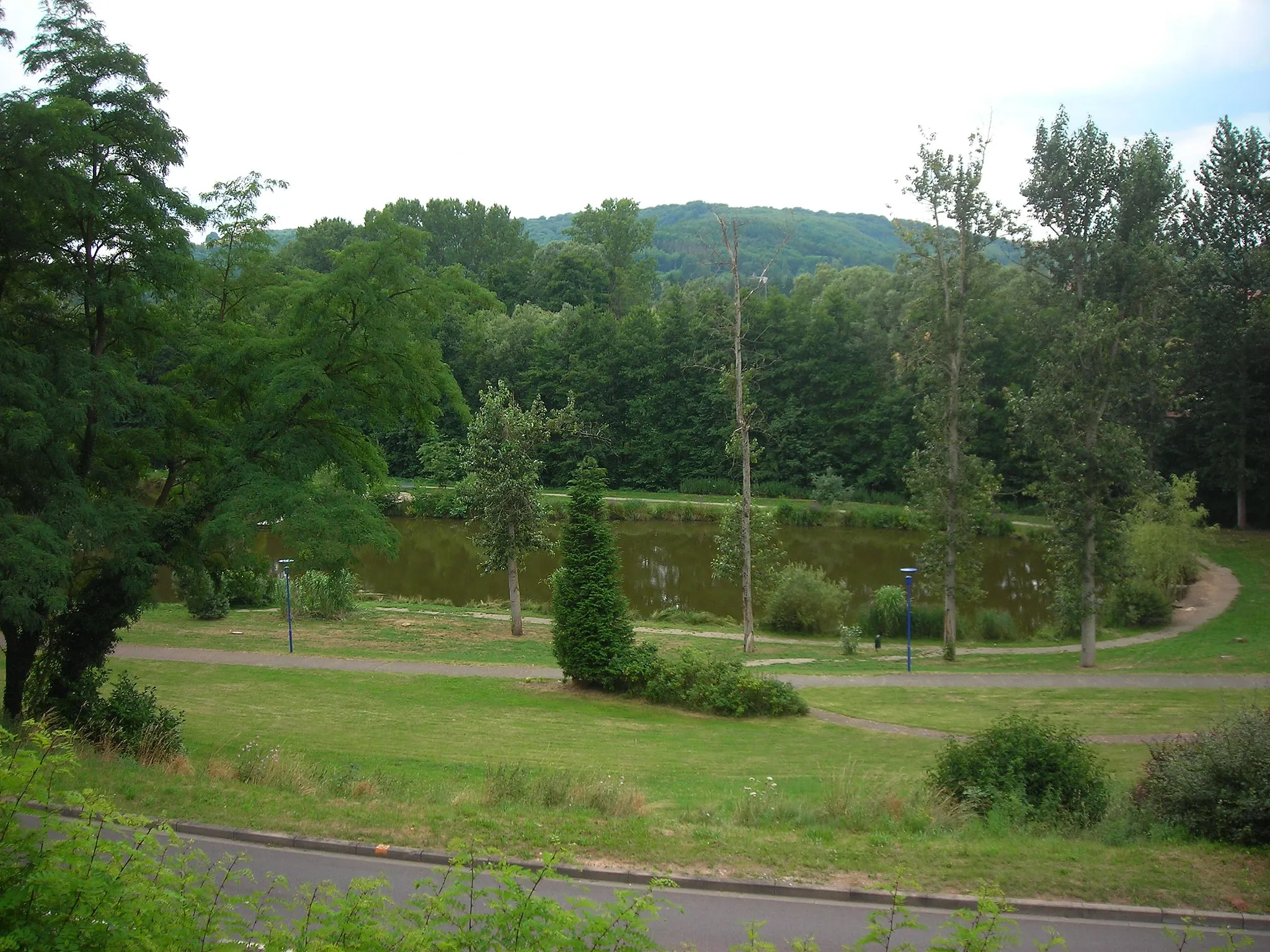
CoumeVillageLocated 8 km into the route, the Coume offers breathtaking panoramic views of the surrounding countryside.
23 km
23 km
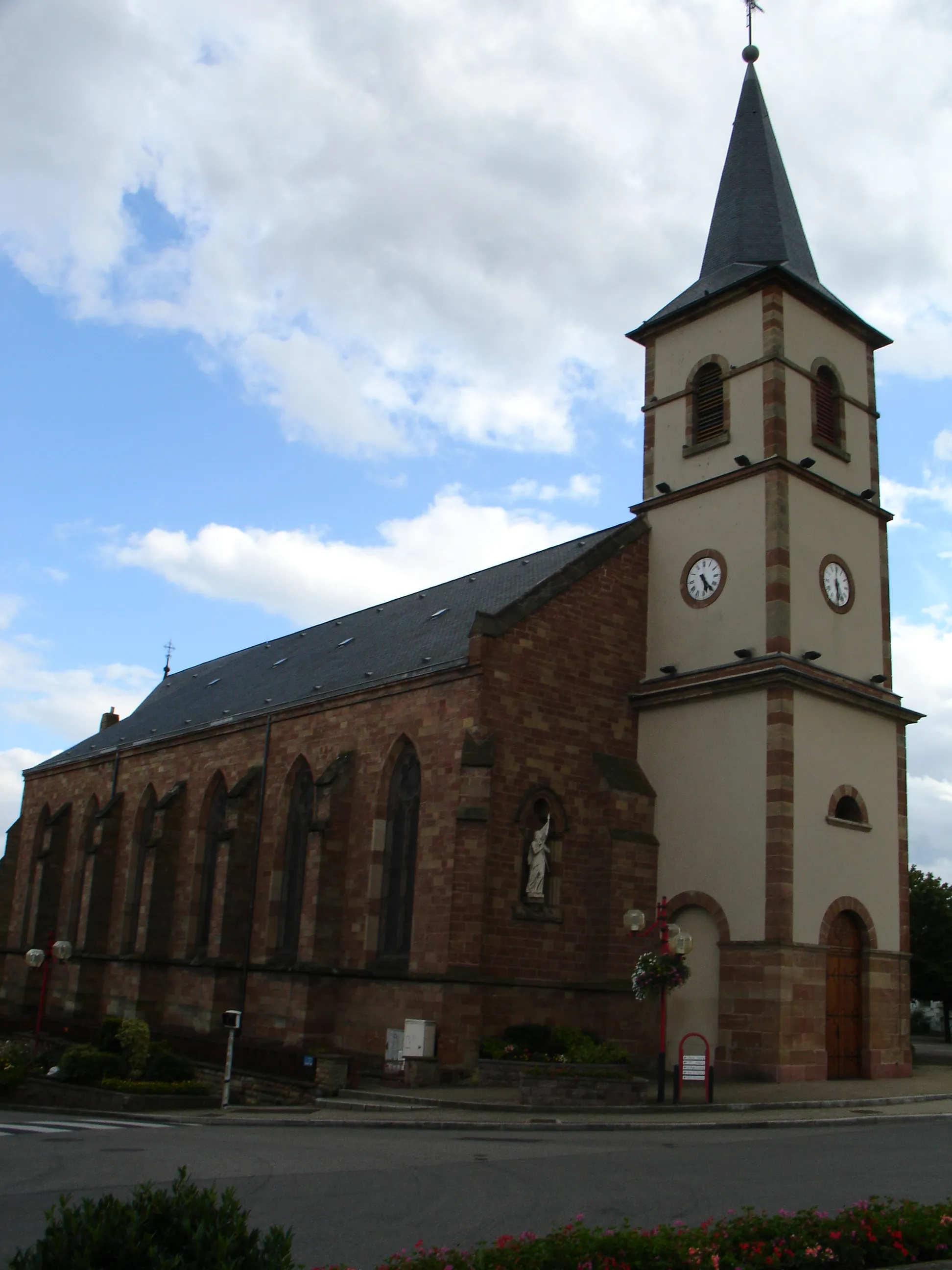
CarlingVillageCarling, situated 23 km along the route, is known for its well-preserved medieval architecture.
36 km
36 km
Mettenberg322 mPeakAt 36 km, you'll pass by the Mettenberg, a prominent hill offering captivating vistas of the surrounding area.
39 km
39 km
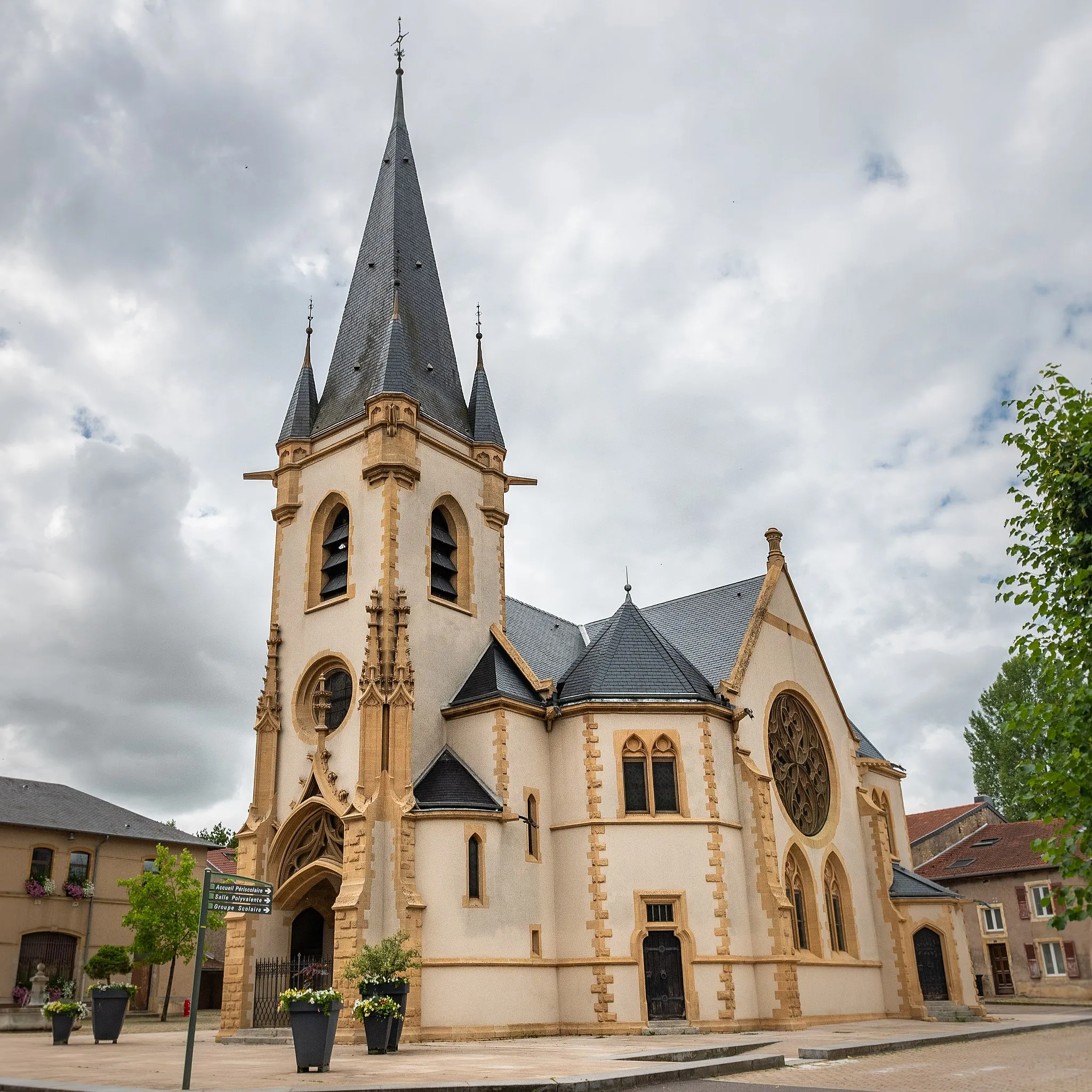
Saint-AvoldTownEnjoy a visit to Saint-Avold, located 39 km into the route. This historical town is rich in cultural heritage.
46 km
46 km
Longeville-lès-Saint-AvoldVillageExperience the peaceful ambiance of Longeville-lès-Saint-Avold as you cycle through the town at the 46 km mark.
62 km
62 km
Boulay-MoselleVillageStarting and ending point of the route, Boulay-Moselle is a charming town that is famed for its vibrant cycling community.
62 km
62 km
Finish: Boulay-Moselle Village centerBoulay-Moselle: Tranquil Countryside Cycling in Lorraine
Cycling routes nearby: