Challenging Climb and Enchanting Nature
A road cycling route starting from Bruyeres
Embark on a journey through the Vosges mountains and discover the beauty of Bruyères.
Map
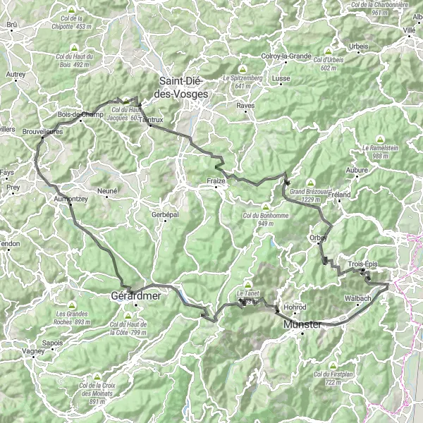
This round-trip cycling route near Bruyères takes you through breathtaking landscapes, challenging climbs, and enchanting nature. The route covers a distance of 144 kilometers with an ascent of 2857 meters.
road
144 km
2857 m
Tough
Route profile
Highlights on the route
0 km
0 km
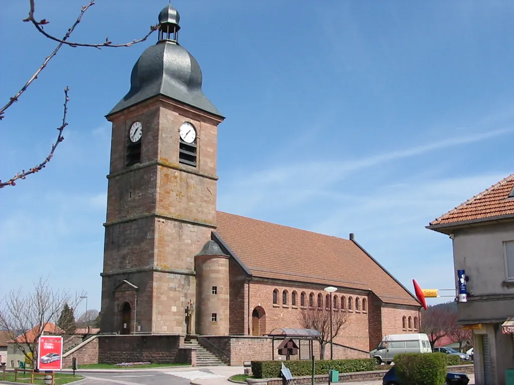
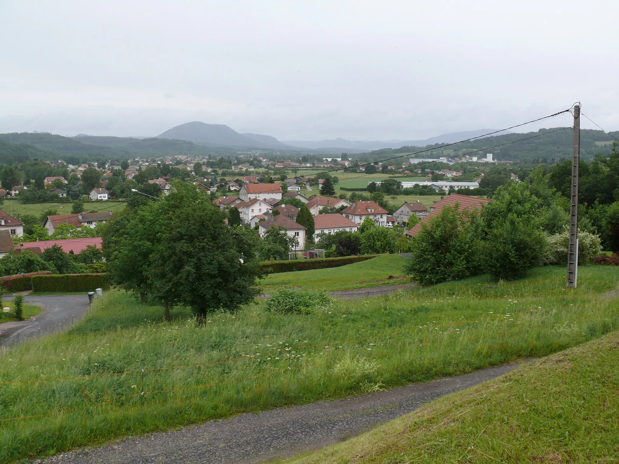
Start: Bruyères Village centerBruyères: Enjoy the serene cycling routes and picturesque landscapes of Bruyères.
Bruyères is a small town located in the Lorraine region of France. While not known for its legendary climbs or famous cycling spots, Bruyères offers some picturesque cycling routes in the surrounding countryside. This area is characterized by rolling hills and charming villages, providing a pleasant backdrop for your cycling adventures. Overall, Bruyères is a decent option for road and gravel cyclists looking for a quieter and more relaxed cycling experience.8 km
8 km
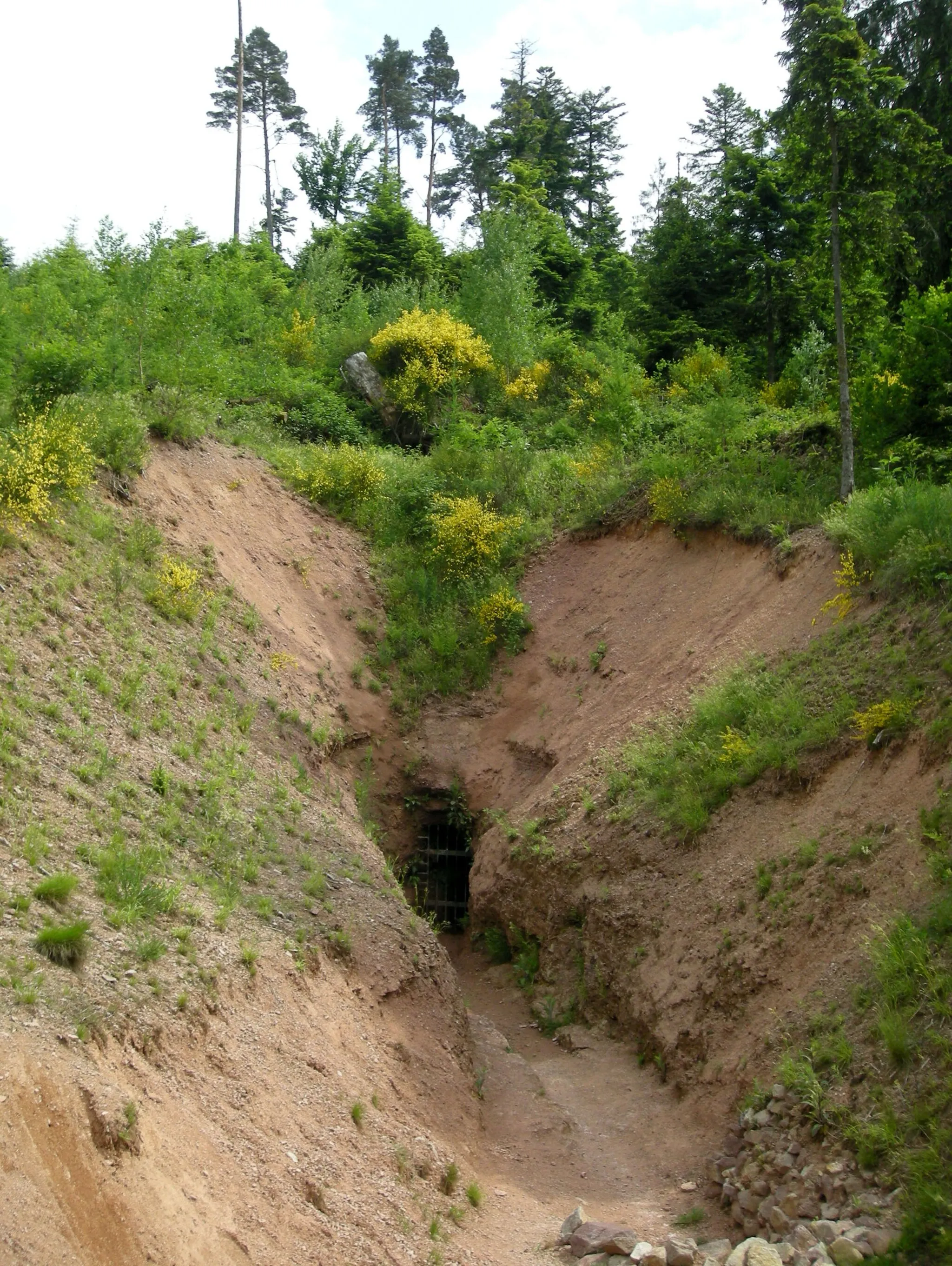
Bois-de-ChampVillageIn Bois-de-Champ, you'll come across a picturesque forest with ancient trees and hidden paths, perfect for exploring nature.
15 km
15 km
Col du Haut Jacques605 mMountain PassCol du Haut Jacques awaits you with its steep ascents and breathtaking views. It's a challenging climb that rewards you with stunning panoramas.
30 km
30 km
MandrayVillageMandray is a charming village known for its traditional Alsatian architecture, offering a glimpse into the region's cultural heritage.
35 km
35 km
Col de Mandray707 mMountain PassCol de Mandray is a thrilling mountain pass surrounded by awe-inspiring landscapes. Prepare yourself for an unforgettable cycling experience.
45 km
45 km
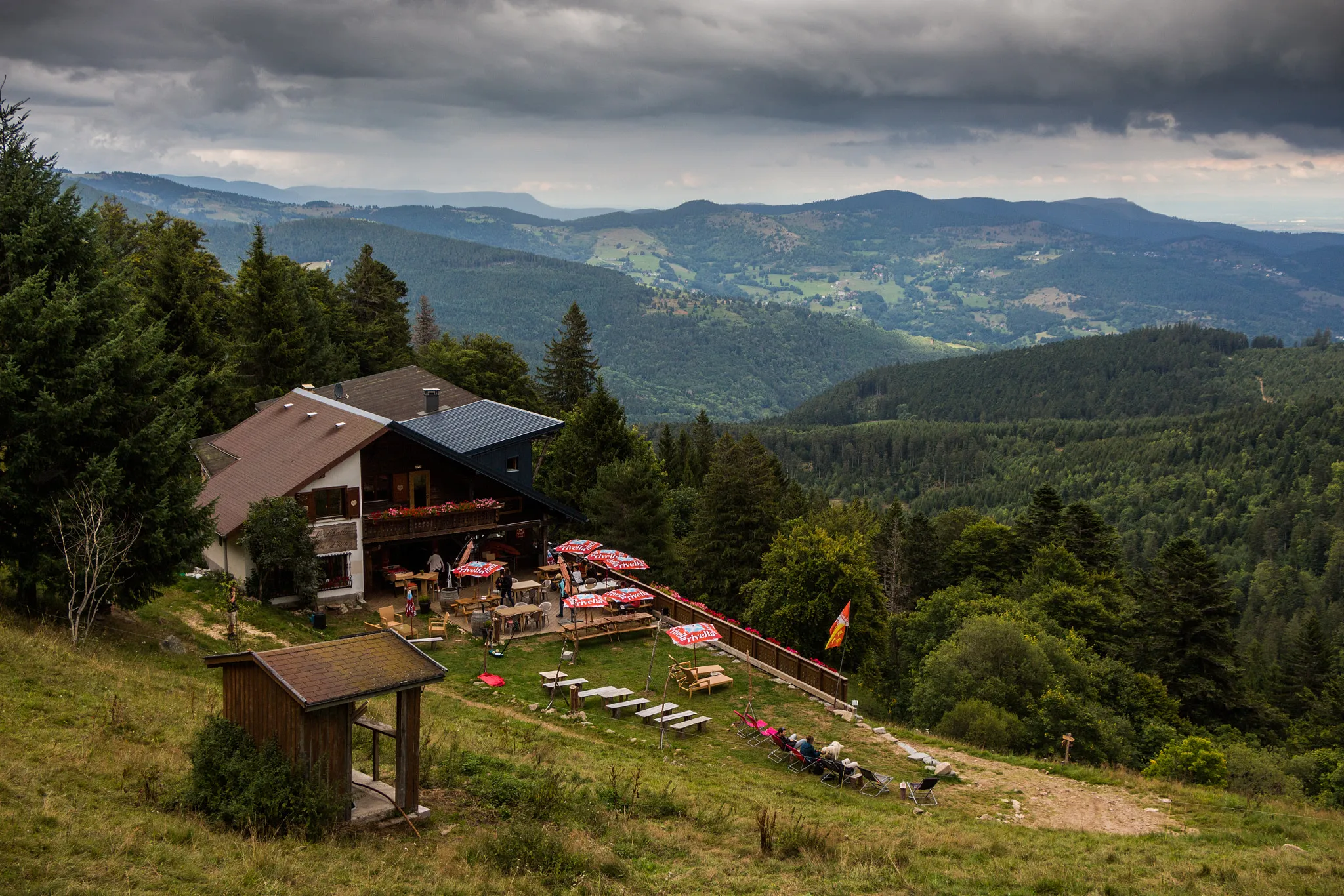
Table d'orientationViewpointTable d'orientation is a viewpoint where you can admire the stunning panoramic vistas of the surrounding mountains and valleys.
54 km
54 km
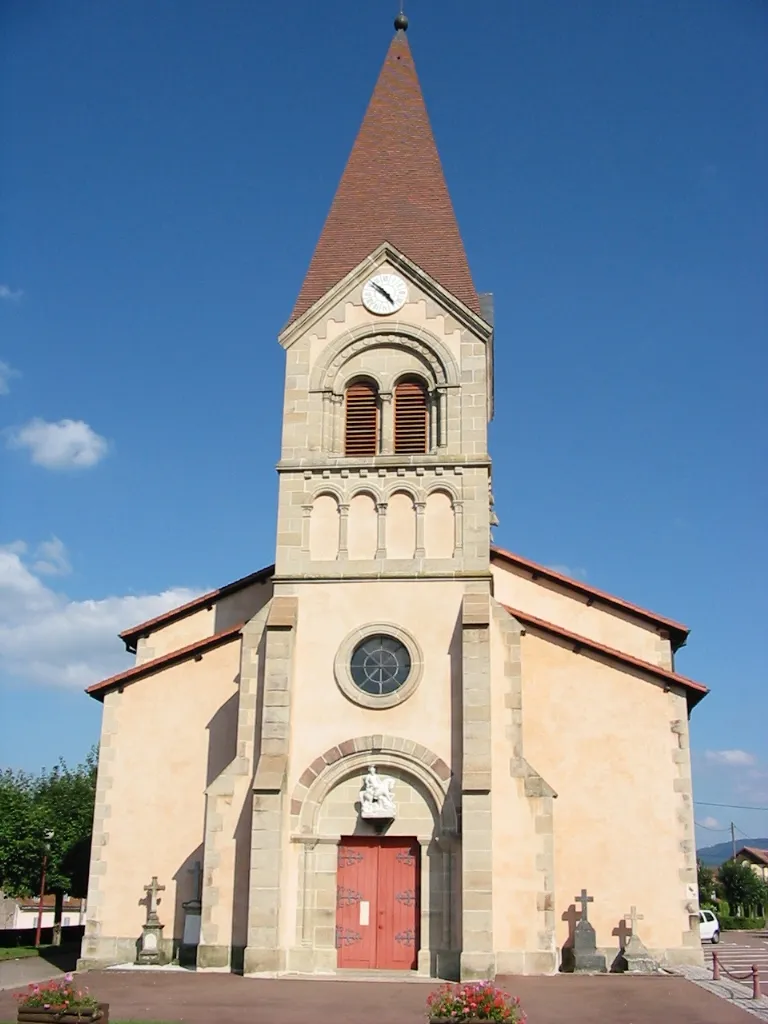
LapoutroieVillageLapoutroie is a quaint village that captures the authentic charm of the Alsace region. Take a rest and explore its historic streets.
66 km
66 km
Le Grand Hohnack982 mPeakLe Grand Hohnack is a renowned hill offering spectacular views over the Alsace plains. It's a true gem for cyclists seeking epic moments.
78 km
78 km
TurckheimVillageTurckheim is a delightful town well-known for its medieval architecture and vibrant atmosphere. Experience the rich history of the area.
90 km
90 km
NarrensteinViewpointNarrenstein is a scenic spot where you can pause and admire the tranquil landscapes while enjoying a refreshing break.
93 km
93 km
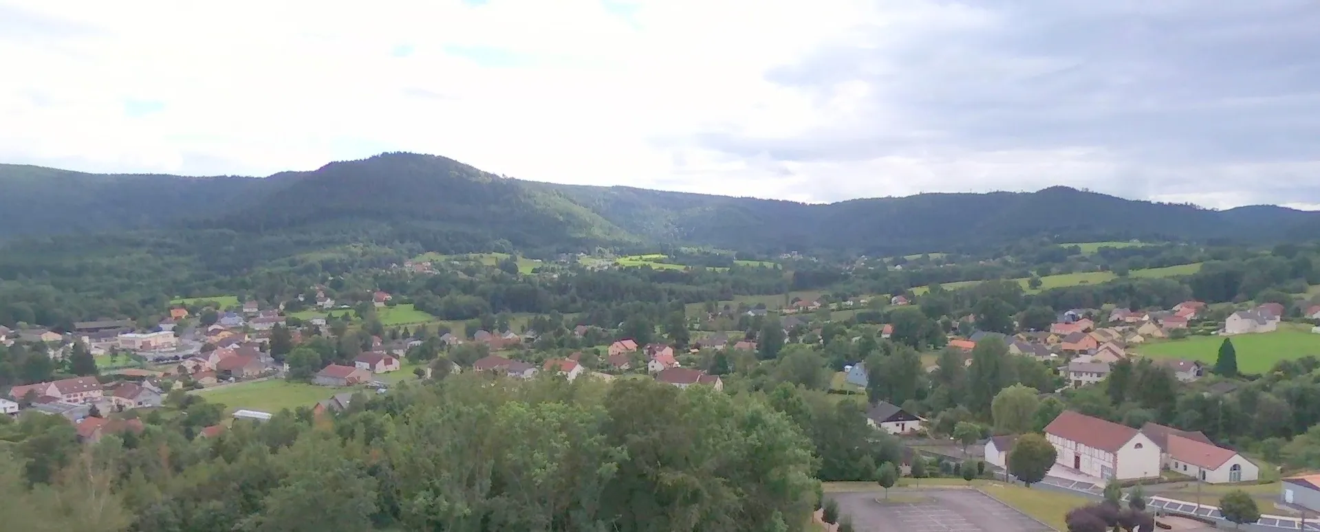
StosswihrVillageStosswihr is a charming village nestled in lush greenery, inviting you to soak up the peaceful ambiance of the surrounding nature.
105 km
105 km
Col de la Schlucht1139 mMountain PassCol de la Schlucht is an epic climb renowned both for its challenging gradients and captivating views. Prepare for an epic adventure.
112 km
112 km
Cascade de RetournemerWaterfallCascade de Retournemer is a mesmerizing waterfall where you can witness the raw power of nature in a serene and secluded setting.
137 km
137 km
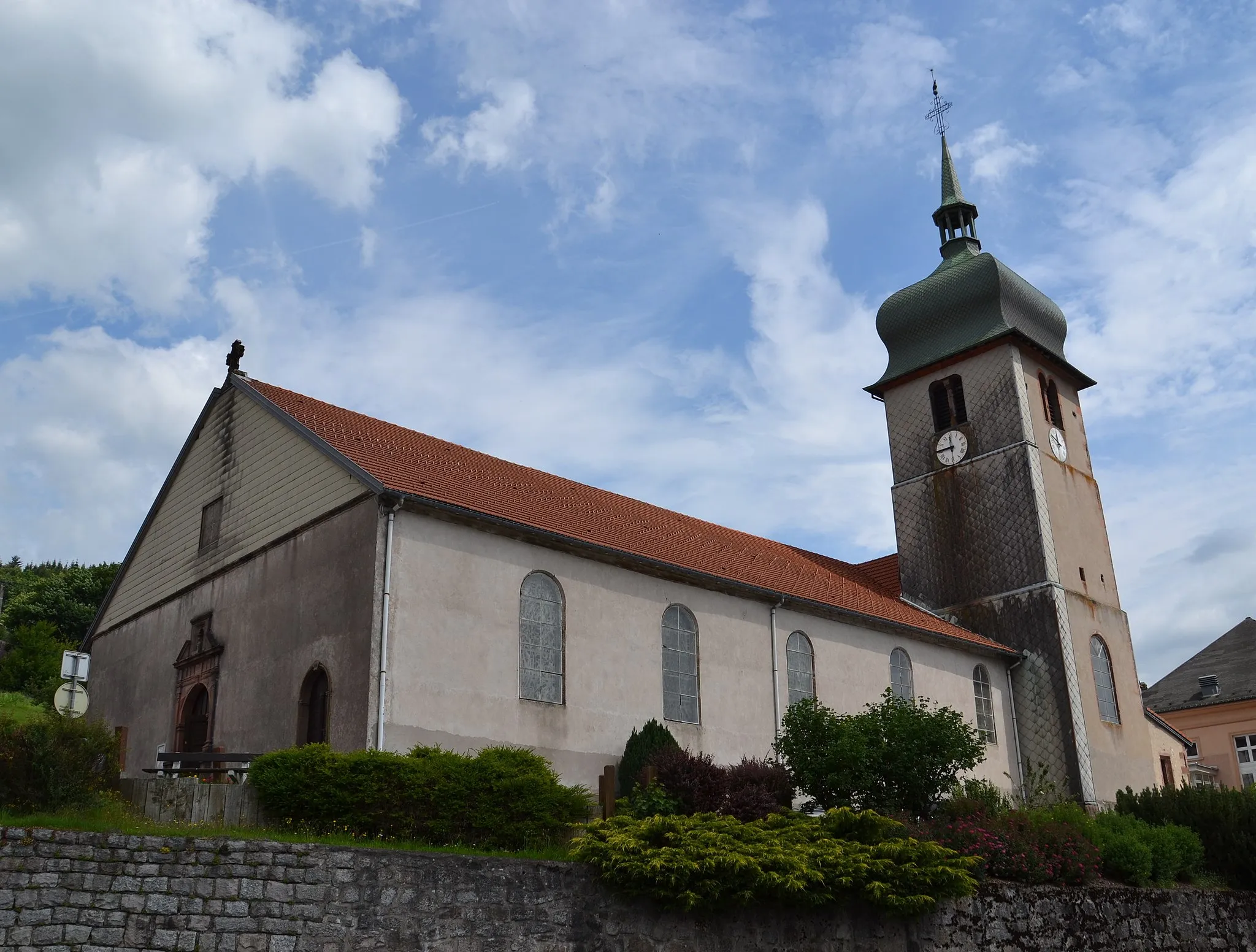
AumontzeyVillageAumontzey is a small village surrounded by scenic beauty. Discover the charming countryside as you cycle through this tranquil place.
144 km
144 km
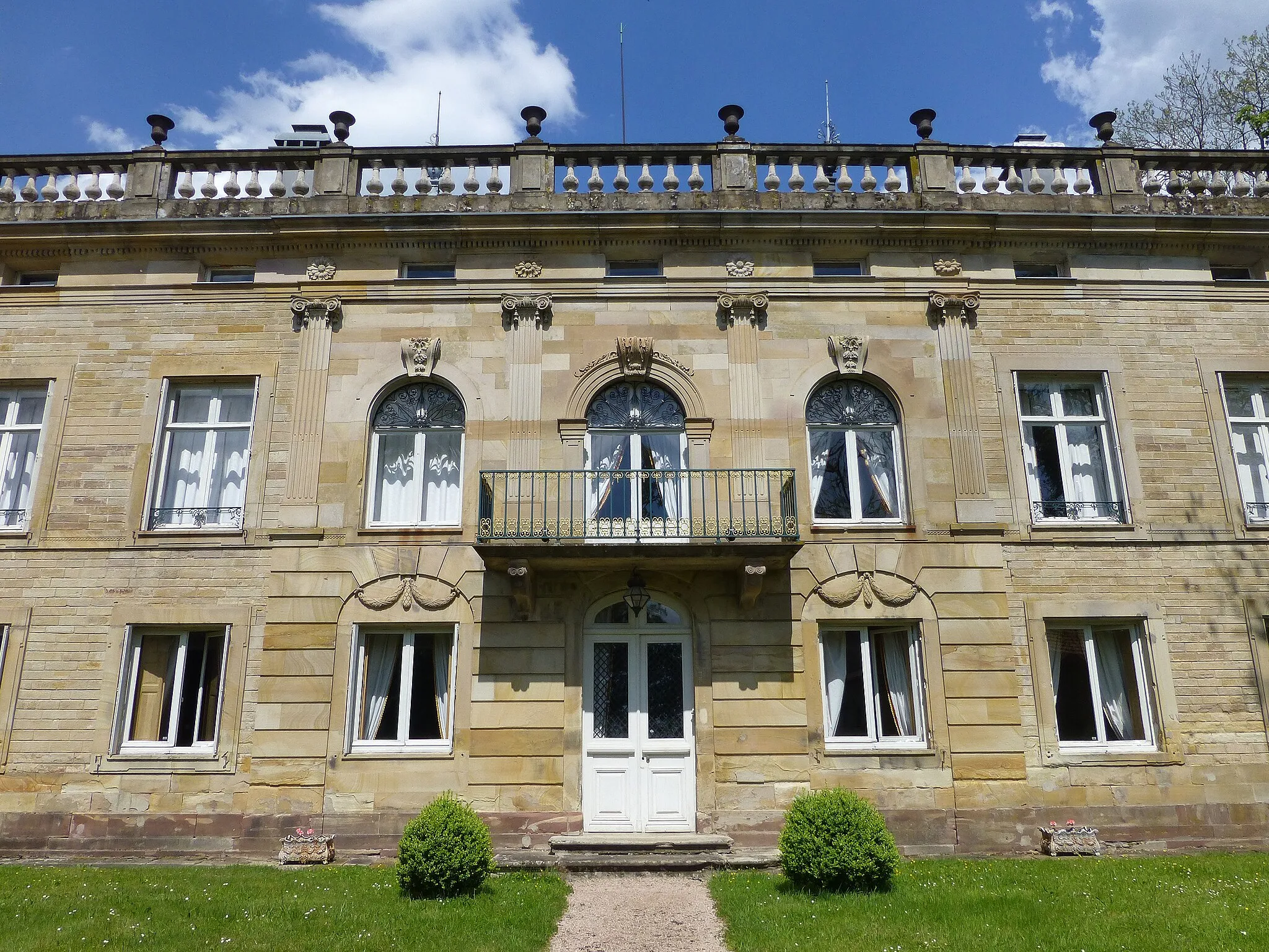
Le ChâteauCastleLe Château is a magnificent castle that stands as a testament to the rich history of the region. Marvel at its architectural grandeur.
144 km
144 km
Finish: Bruyères Village centerBruyères: Enjoy the serene cycling routes and picturesque landscapes of Bruyères.
Cycling routes from Bruyeres:
Cycling routes nearby: