Relaxing cycling getaway in Lorraine
Cycling routes from Moyenmoutier
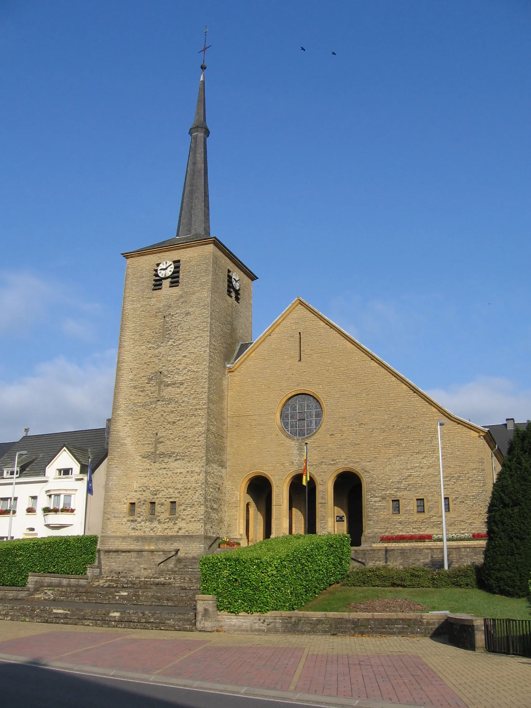
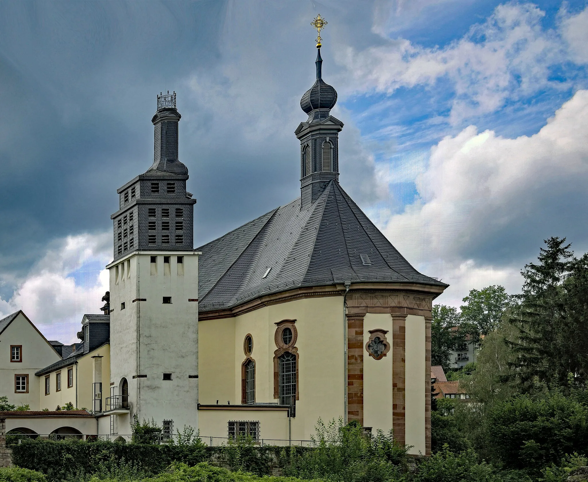
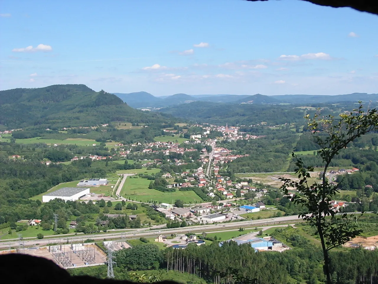
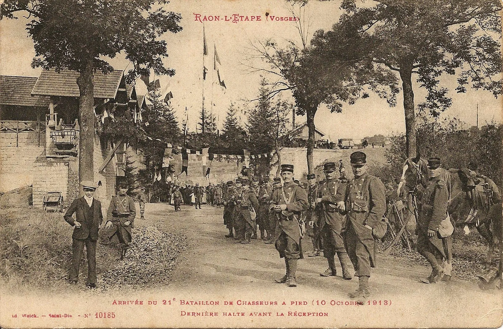
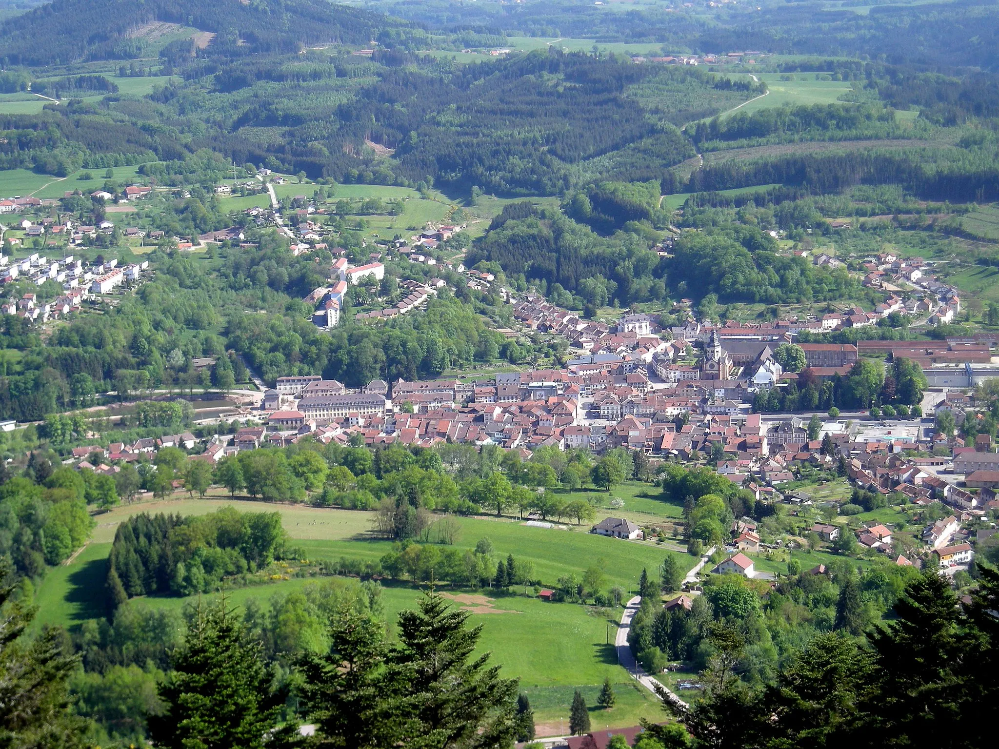
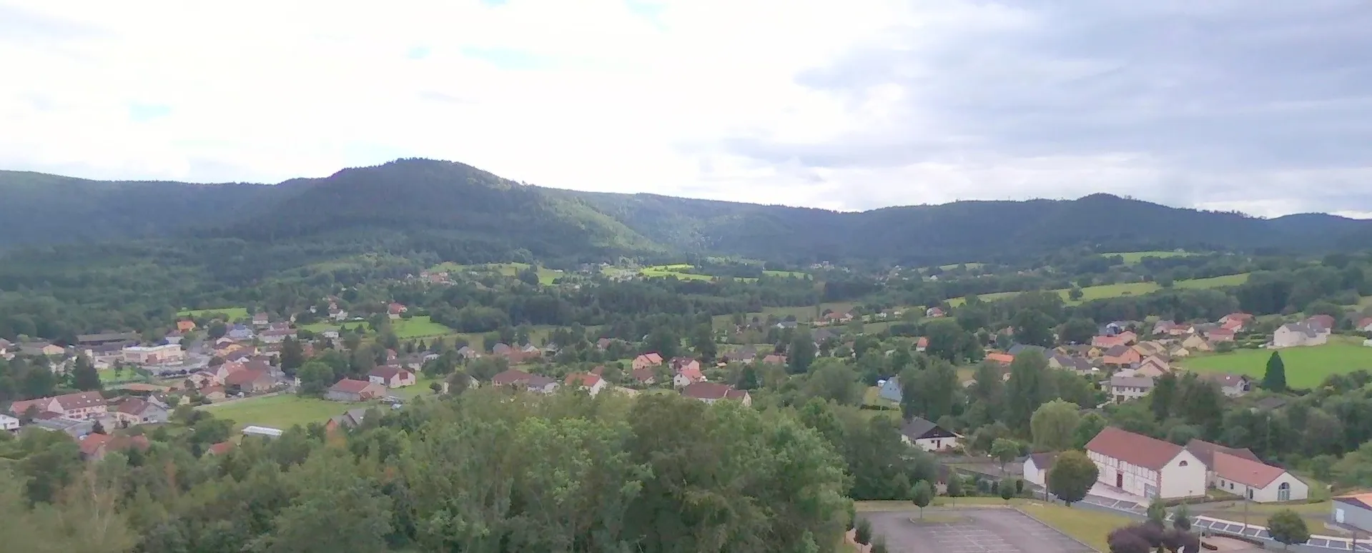
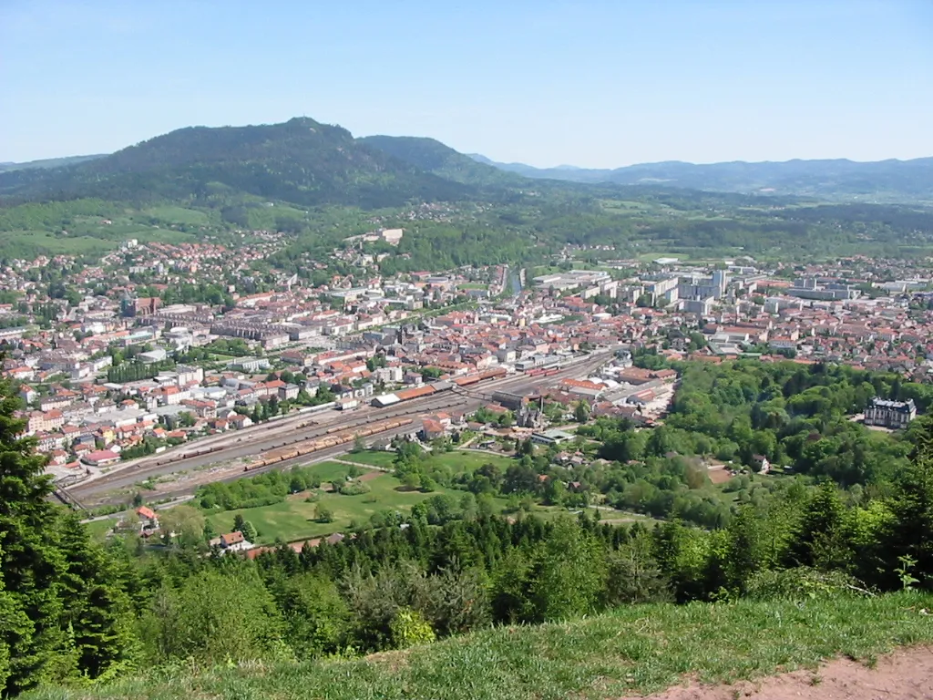
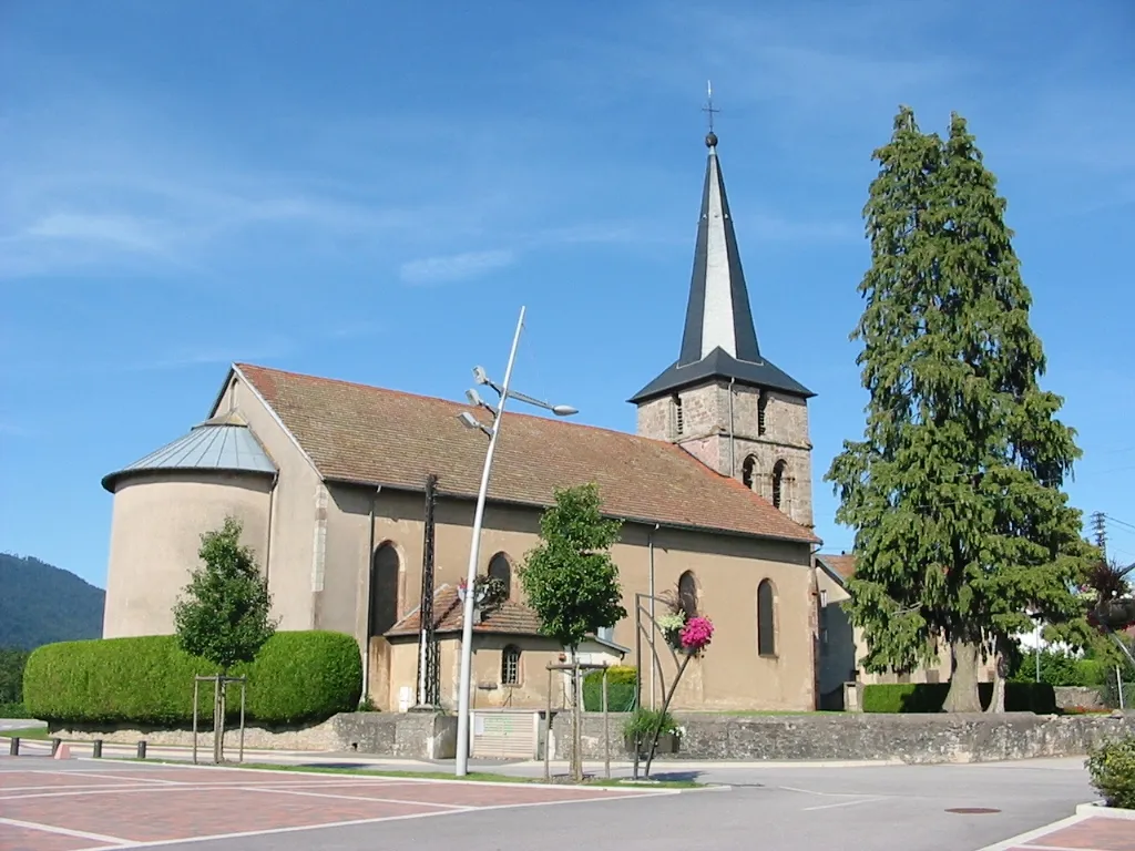
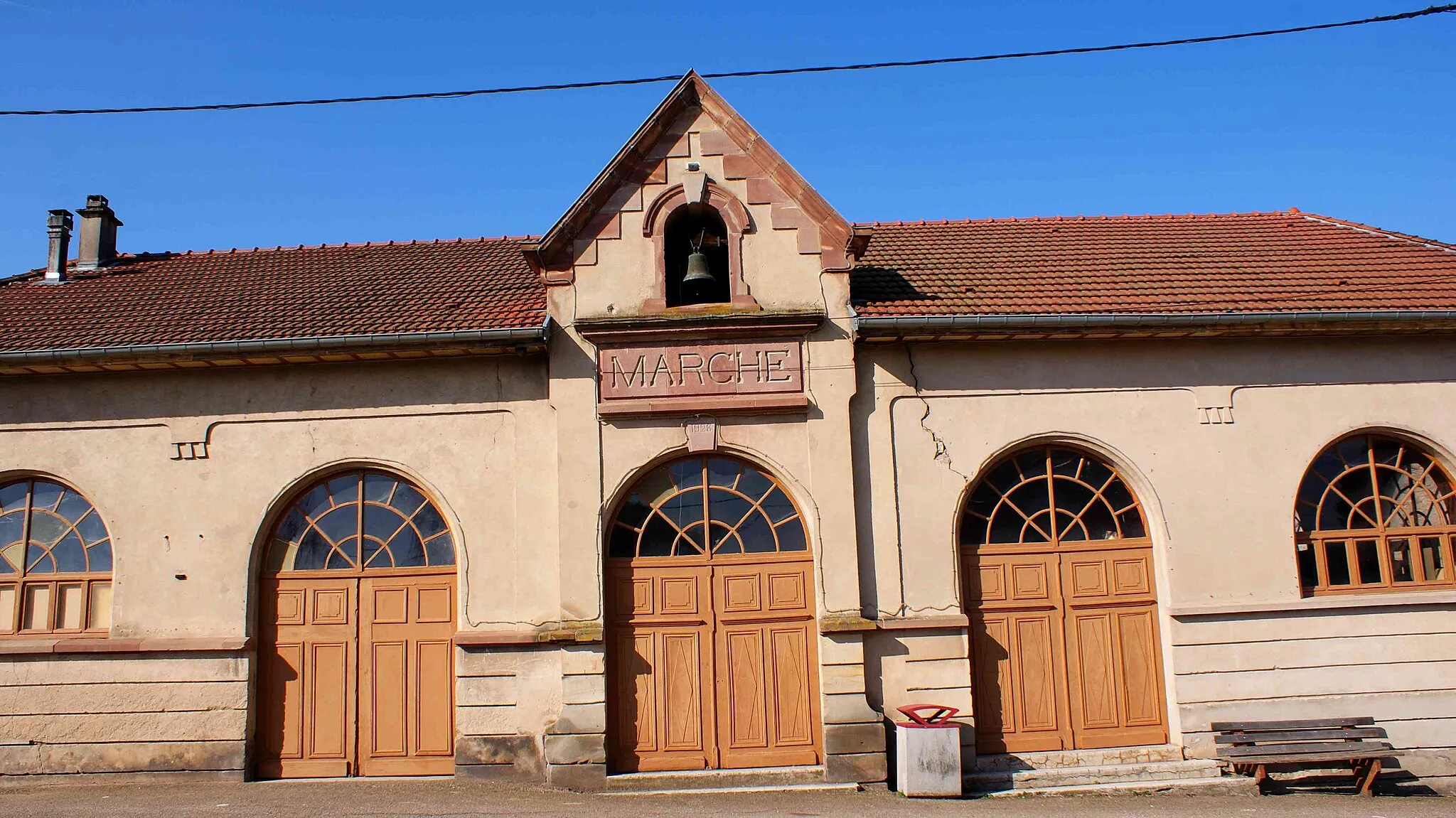
Moyenmoutier is a town situated in the Lorraine region of France. Although it may not offer as many prominent cycling routes as other localities, Moyenmoutier provides a tranquil setting perfect for leisurely cycling. Cyclists can enjoy riding through charming villages and along serene country roads. Nearby, the Vosges Mountains offer some scenic spots for road cyclists to challenge themselves. While not particularly famous for any iconic cycling-related spots, Moyenmoutier provides a peaceful environment for cyclists looking for a relaxing ride in the heart of the Lorraine region.
Vosges Adventure
Explore the beautiful Vosges region on this challenging road cycling route
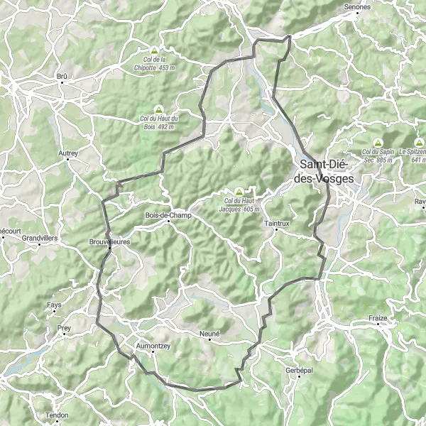
The Vosges Adventure is a stunning road cycling route that takes you through the picturesque landscapes of the Vosges region in Lorraine, France. With a total distance of 83 kilometers and an ascent of 1086 meters, this route is perfect for experienced cyclists looking for a real challenge. The route starts near Moyenmoutier and takes you through some of the most scenic areas in the region, including Saint-Dié-des-Vosges and Champ-le-Duc. Along the way, you'll have the opportunity to enjoy breathtaking views, charming villages, and peaceful forest roads. This route is suitable for road bikes and offers a mix of flat sections and challenging climbs, making it a great choice for cyclists of all abilities. Whether you're a local or a visitor, the Vosges Adventure is a must-try route for anyone looking to explore the beauty of the Vosges region on two wheels.
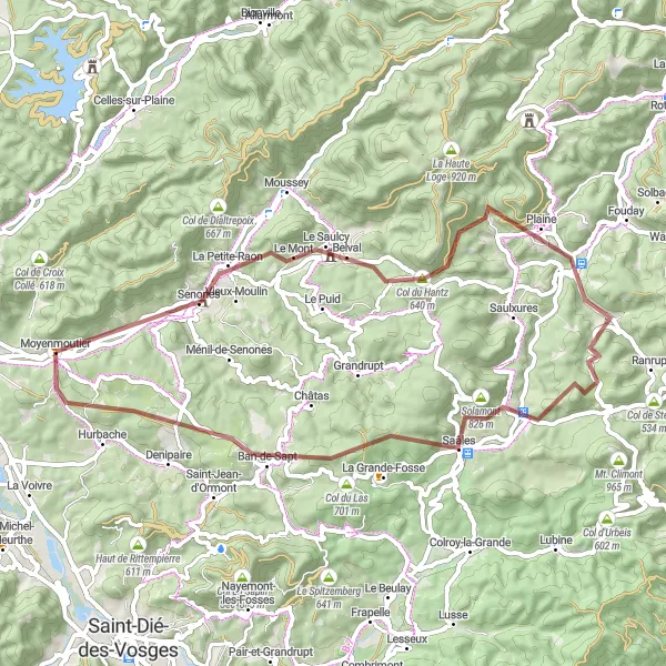
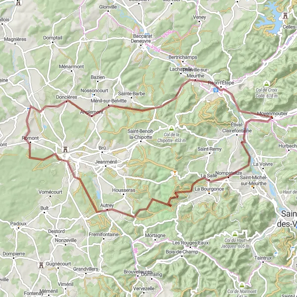
Venture into the stunning scenery of Lorraine on this gravel cycling route
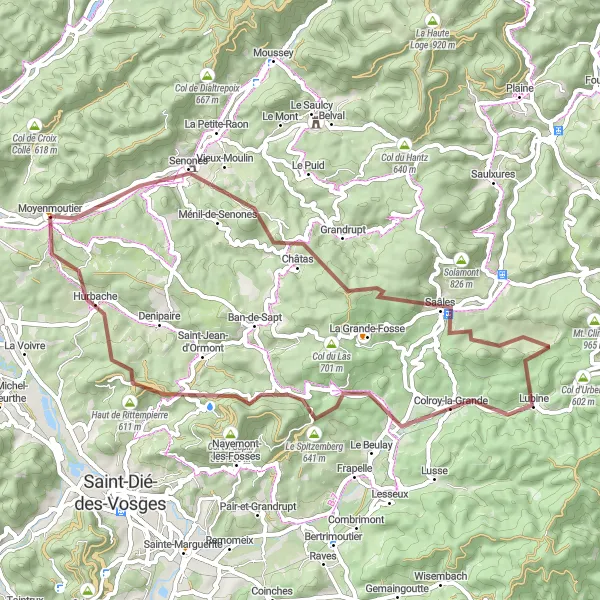
Immerse yourself in the breathtaking landscapes of Lorraine with this gravel cycling route. Covering a distance of 53 kilometers and 1165 meters of ascent, this route offers a mix of challenging climbs and smooth gravel roads. Highlights along the route include Senones, Châtas, Col de Saâles, Colroy-la-Grande, Col d'Hermanpaire, and Hurbache. These areas offer diverse natural landscapes, historic landmarks, and stunning views of the surrounding mountains. Whether you're a nature lover, history enthusiast, or simply seeking adventure, this route will leave you with unforgettable memories of Lorraine's beauty.
The Lorraine Randonnée
A challenging ride through the diverse landscapes of Lorraine
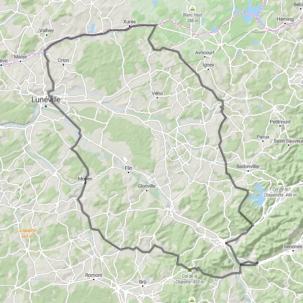
The Lorraine Randonnée is a challenging road cycling route that takes you on a journey through the diverse landscapes of Lorraine, France. With a total ascent of 1088 meters and a distance of 138 kilometers, this route is designed for experienced cyclists who crave both adventure and natural beauty. As you ride through Moyenmoutier, you'll begin your journey in this historical town known for its beautiful architecture and peaceful atmosphere. Highlights along the route include Col de la Chipotte, a challenging climb offering stunning views of the surrounding countryside, and Lunéville, a vibrant city with a rich cultural heritage. The route also passes through Bauzemont and Saint-Maurice-aux-Forges, where you'll have the opportunity to explore local landmarks and immerse yourself in the region's history. The Lorraine Randonnée is an epic cycling adventure that showcases the diverse charm of Lorraine's landscapes and heritage.
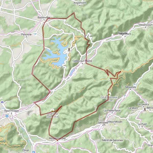
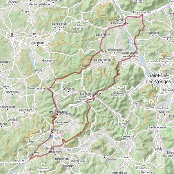
Discover the hidden gems of Moyenmoutier on this gravel cycling route
Experience the beauty of Moyenmoutier and its surroundings on this gravel cycling route. Spanning a distance of 54 kilometers with 1207 meters of ascent, this route provides a moderate challenge for gravel enthusiasts. Highlights along the route include Senones, Col du Hantz, Plaine, Bourg-Bruche, Col de Saâles, and Hurbache. These areas offer diverse landscapes, charming villages, and historic landmarks to explore. Whether you're a seasoned gravel rider or a beginner looking for a new adventure, this route has something to offer for everyone.
The Vosges Loop
A challenging ride through the stunning Vosges mountains
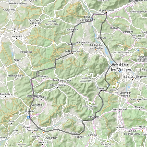
The Vosges Loop is a challenging cycling route that takes you through the breathtaking landscapes of the Vosges mountains in Lorraine, France. With a total ascent of 949 meters and a distance of 75 kilometers, this road route is suitable for well-trained amateurs looking for a rewarding cycling adventure. Along the way, you'll encounter highlights such as Saint-Dié-des-Vosges, a charming town known for its rich history and beautiful architecture, and Col de Climont, a picturesque mountain pass offering magnificent panoramic views. The route also passes through La Chapelle-devant-Bruyères and Brouvelieures, where you can explore local attractions and enjoy the peaceful countryside. Overall, the Vosges Loop is a must-try for cyclists seeking a challenging yet rewarding journey through nature's finest.
Embark on an adventurous gravel ride through the scenic countryside of Lorraine
This gravel cycling route near Moyenmoutier offers a thrilling off-road adventure through the beautiful Lorraine countryside. Covering a distance of 53 kilometers with an ascent of 1397 meters, this route is suitable for experienced gravel riders. Highlights along the route include Saint-Prayel, Fenneviller, Col de la Chapelotte, and Tête du Coquin. These areas offer picturesque landscapes, rugged terrains, and the opportunity to test your skills on challenging climbs. Overall, this route provides a unique and exciting cycling experience in the heart of Lorraine.
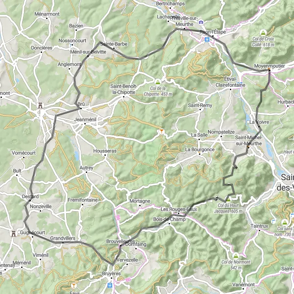
Explore the scenic Meurthe Valley on this challenging road route
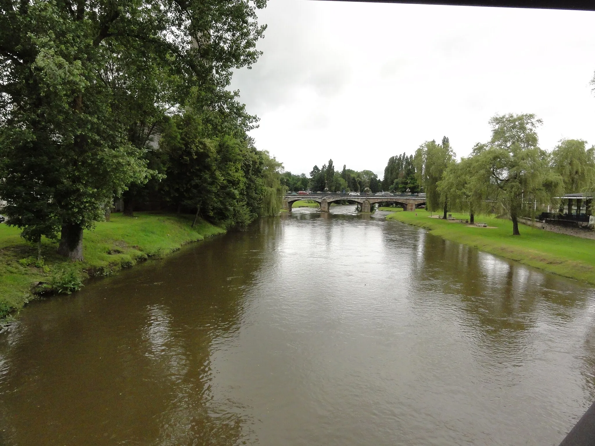
The Meurthe Valley Ride is a challenging road cycling route that takes you through the scenic landscapes of the Meurthe Valley in Lorraine, France. With a total ascent of 964 meters and a distance of 81 kilometers, this route is perfect for experienced cyclists seeking a thrilling adventure. Highlights along the way include Saint-Michel-sur-Meurthe, a charming village with a rich industrial history, and Col du Haut Jacques, a renowned mountain pass frequented by cyclists and nature enthusiasts. As you ride through Pointhaie and Bruyères, you'll be treated to stunning views of the surrounding countryside. The route also passes through Moyenmoutier, where you can visit historic sites and enjoy the local hospitality. The Meurthe Valley Ride is a truly memorable cycling experience that showcases the beauty of the region's natural landscapes.
The Gravel Adventure
Embark on a thrilling gravel adventure through scenic landscapes
The Gravel Adventure is a thrilling cycling route that takes you off the beaten path and onto the gravel roads of Lorraine, France. With a total ascent of 877 meters and a distance of 76 kilometers, this route is suitable for adventurous cyclists seeking a unique and challenging experience. Highlights along the way include Étival-Clairefontaine, a tranquil village surrounded by beautiful nature, and Petit jumeau, a hidden gem known for its picturesque landscapes. The route also takes you through Rambervillers and Thiaville-sur-Meurthe, where you can enjoy scenic views of the meandering Meurthe River. The Gravel Adventure is a great opportunity to escape the crowds and immerse yourself in the serene beauty of Lorraine's countryside.
Embark on a picturesque gravel tour through the scenic landscapes of Lorraine
Discover the natural beauty of Lorraine on this scenic gravel tour. With a distance of 80 kilometers and 1398 meters of ascent, this route is suitable for experienced gravel riders seeking a challenge. Highlights along the route include Saint-Michel-sur-Meurthe, Col du Haut Jacques, Roche de la Clochette, Fiménil, Bruyères, L'Avison, and Étival-Clairefontaine. From stunning mountain views to rugged rock formations, each highlight offers a unique experience. This gravel tour allows you to immerse yourself in the enchanting landscapes of Lorraine and experience nature at its finest.
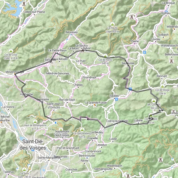
Explore the beautiful region of Lorraine on this road cycling route
This road cycling route near Moyenmoutier takes you through picturesque landscapes and charming villages of the Lorraine region. With a total distance of 67 kilometers and 1238 meters of ascent, this route offers a good challenge for intermediate cyclists. Highlights along the route include La Petite-Raon, Col du Hantz, Bourg-Bruche, and Col d'Urbeis. These areas offer stunning views, historic landmarks, and the opportunity to immerse yourself in the local culture and traditions. Overall, this route is a great way to experience the beauty of Lorraine on two wheels.
Cycling routes nearby:
Nearby regions: