Unforgettable cycling in the heart of the Vosges Mountains.
Cycling routes from Saint-Die-des-Vosges
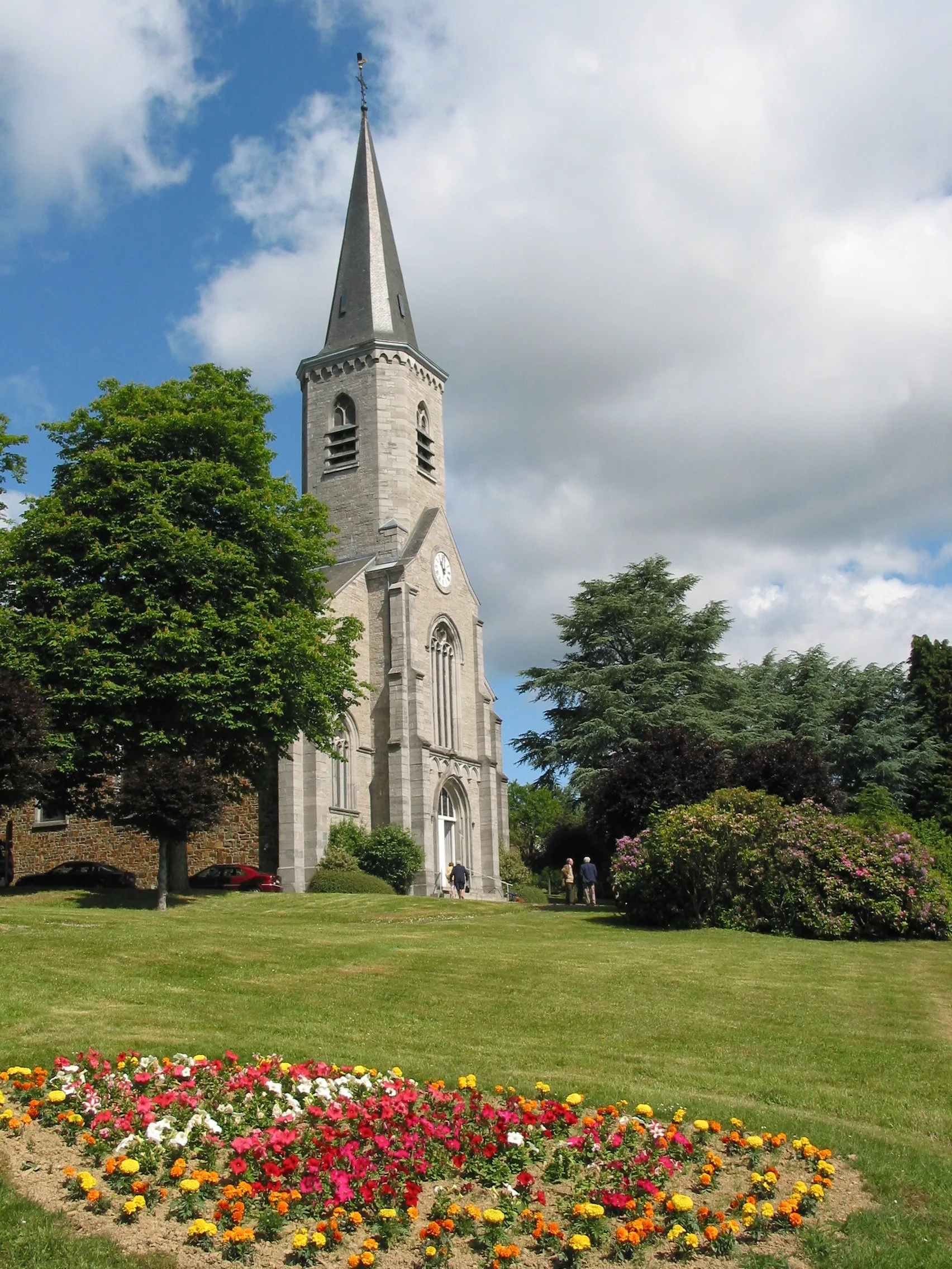
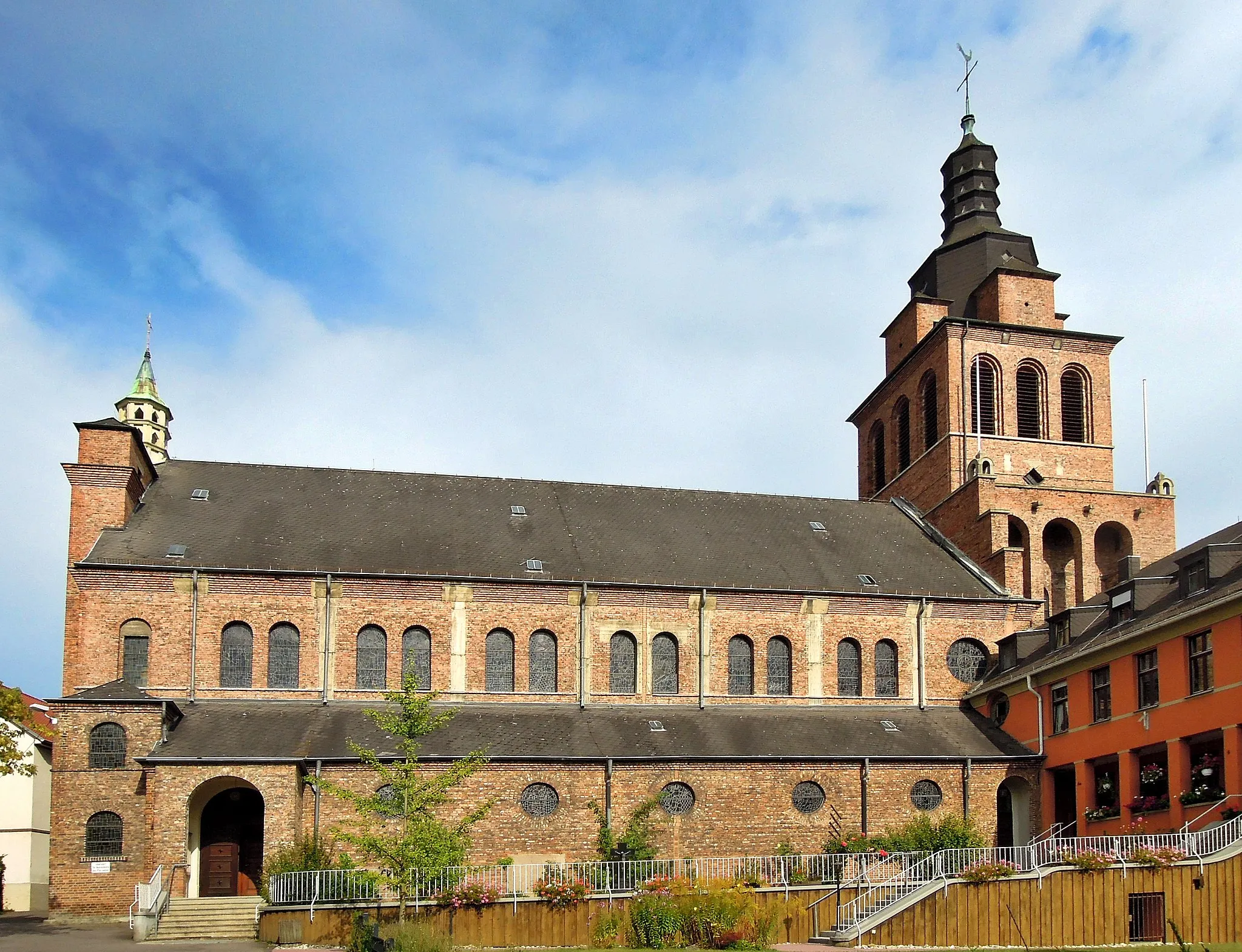
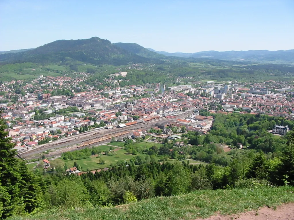
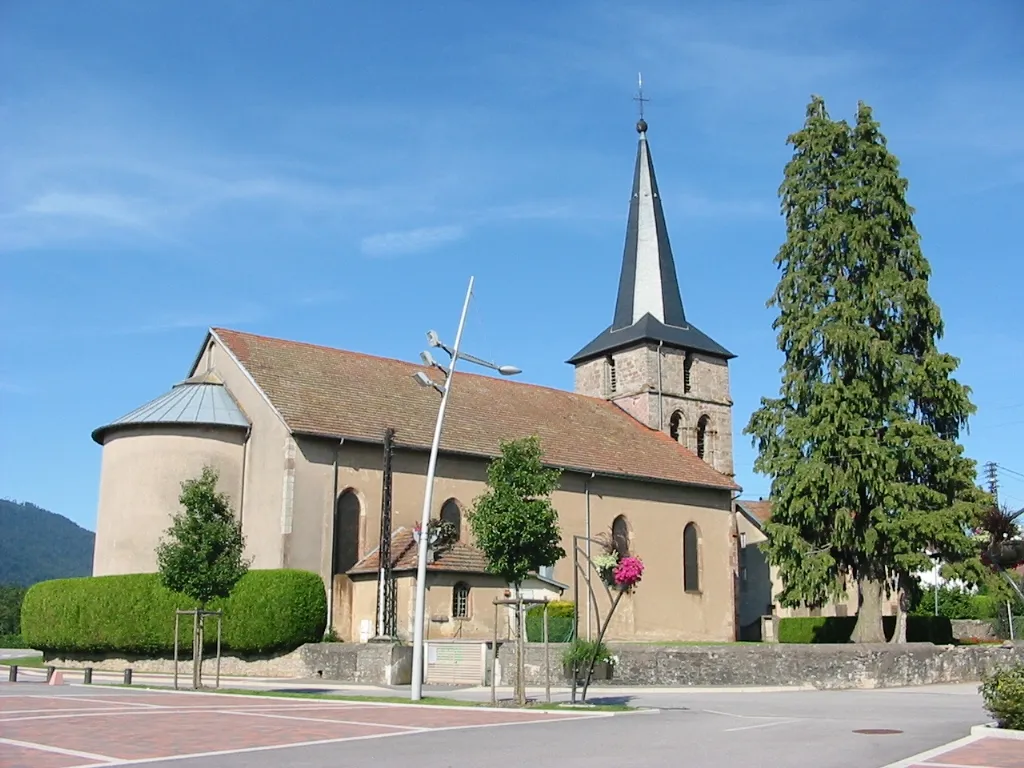
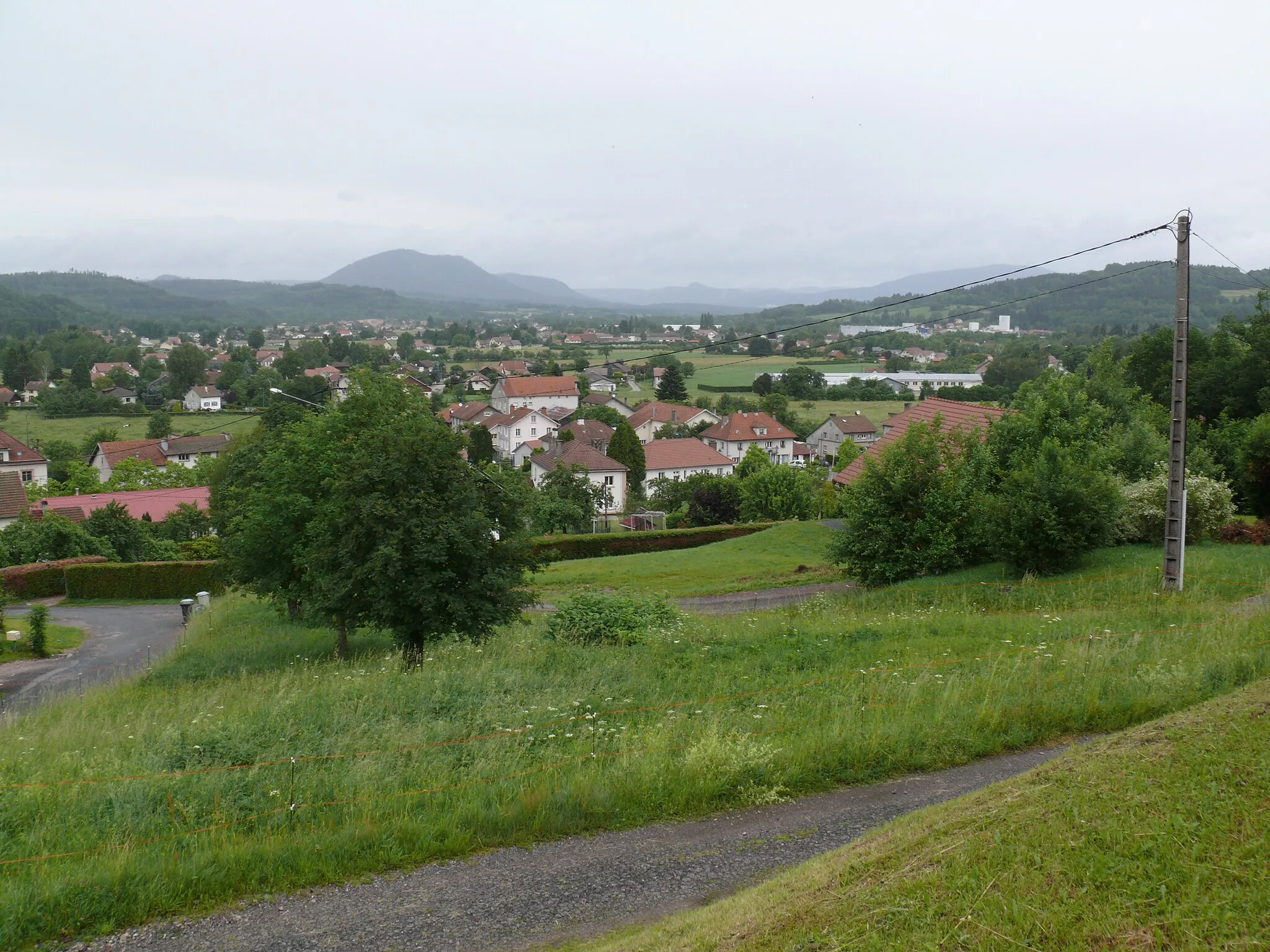
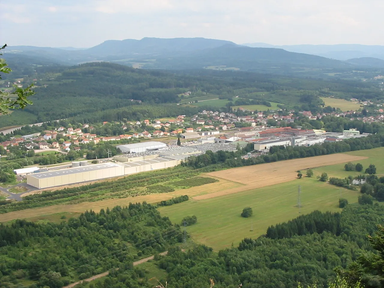
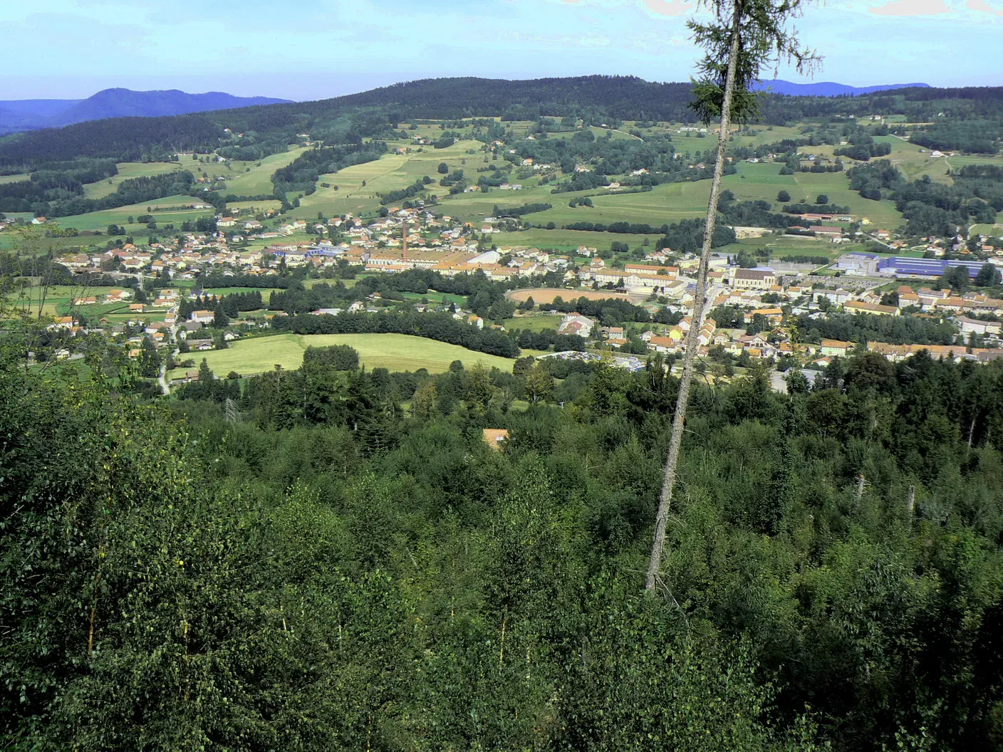
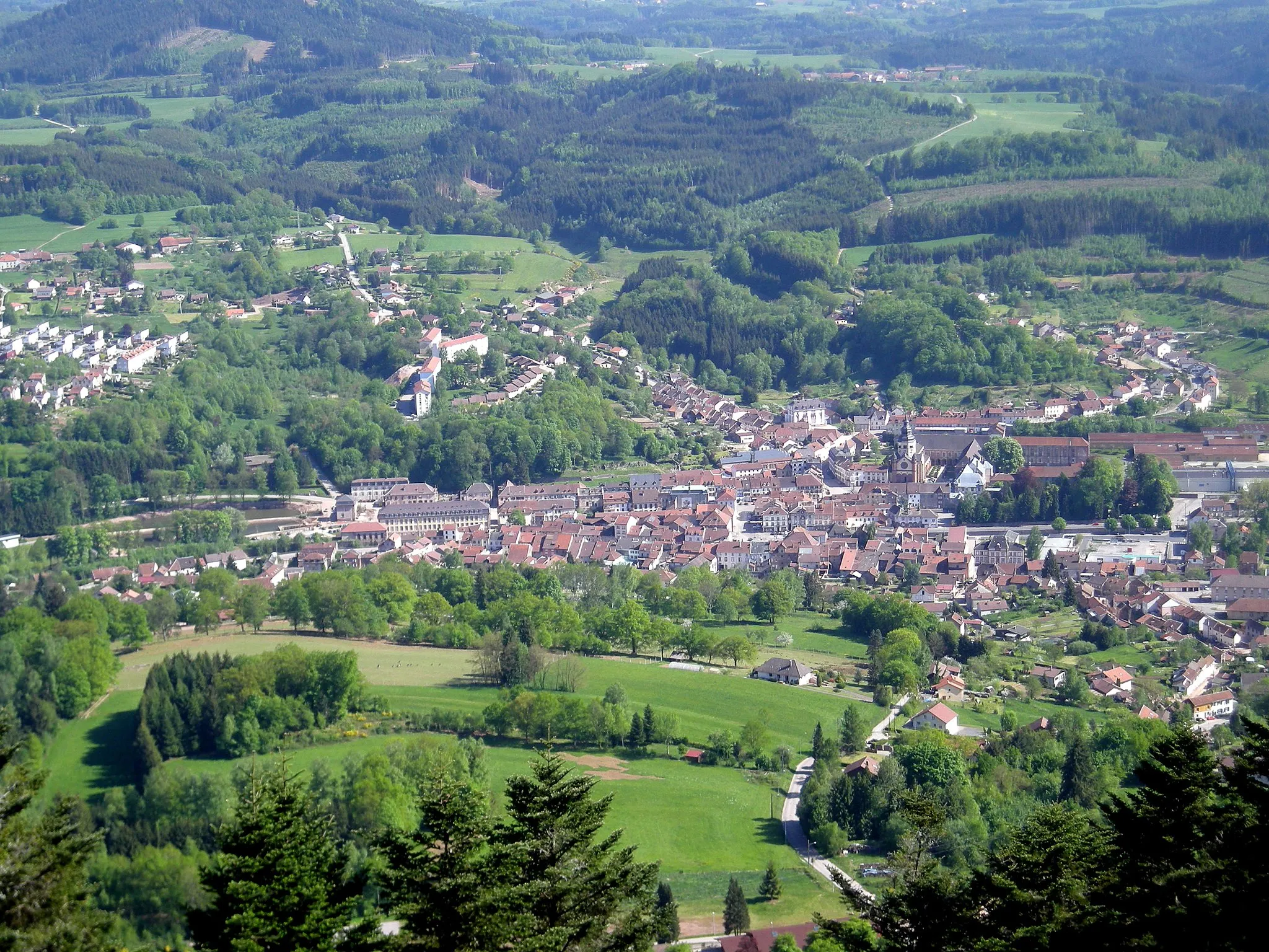
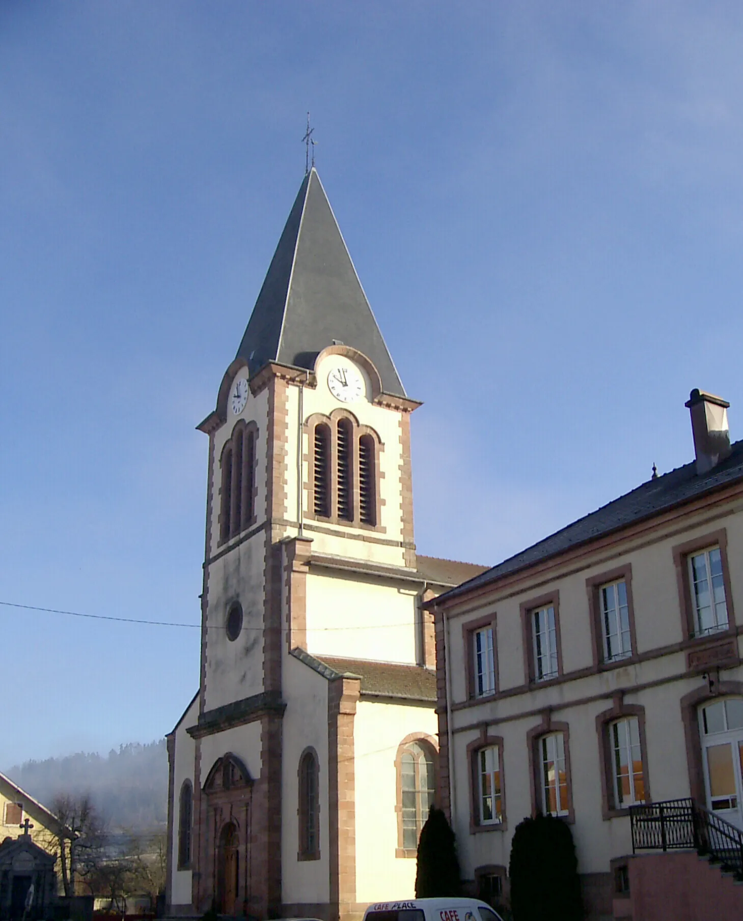
Saint-Dié-des-Vosges, located in Lorraine, France, offers excellent cycling opportunities for both road and gravel cyclists. The locality is surrounded by the Vosges Mountains, providing numerous challenging climbs and stunning mountain views. Cyclists can tackle routes that pass by well-known climbs such as Col de la Schlucht and Col du Bonhomme. Saint-Dié-des-Vosges also hosts various cycling events throughout the year, attracting both amateur and professional cyclists. With its beautiful scenery and cycling infrastructure, Saint-Dié-des-Vosges is a great destination for cyclists, and it ranks 4 as a cycling-friendly area.
Gravel Adventure in the Vosges
Embark on an exciting gravel adventure through the Vosges mountains.
Get off the beaten path and experience the thrill of gravel cycling in the Vosges mountains. This 59km route with an ascent of 941m takes you through Saint-Dié-des-Vosges, Col sans nom, La Houssière, Brouvelieures, Petit jumeau, Nompatelize, Roches du Bihay, and Cloître.
Embark on a gravel journey with breathtaking panoramic views
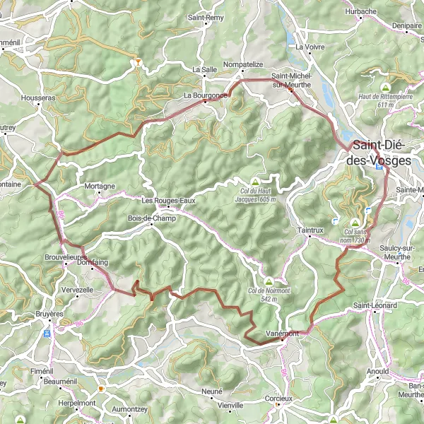
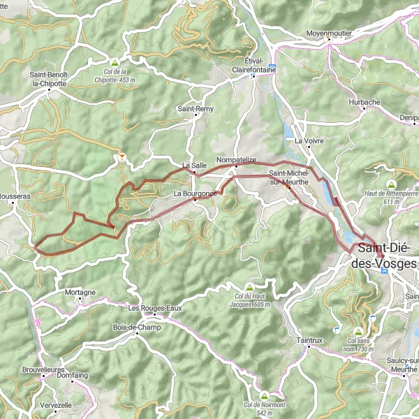
Experience the thrill of gravel riding while being rewarded with breathtaking panoramic views on this 63-kilometer route. Starting near Saint-Dié-des-Vosges, you will conquer challenging climbs and enjoy exhilarating descents amidst stunning natural landscapes. Highlights of this route include Col sans nom, a hidden gem offering scenic vistas, and Roche de la Clochette, a magnificent rock formation with unparalleled beauty. The route also passes through picturesque villages like Arrentès-de-Corcieux and Jussarupt, providing a glimpse into the authentic charm of the region. With an ascent of 1314 meters, this route will test your endurance and technical skills. Glide down the Col du Plafond and explore the captivating beauty of Col du Haut Jacques before concluding your journey back in Saint-Dié-des-Vosges. Get ready for an unforgettable gravel adventure filled with panoramic views and an adrenaline-inducing experience.
Discover the beauty of the Vosges mountains on this gravel cycling route.
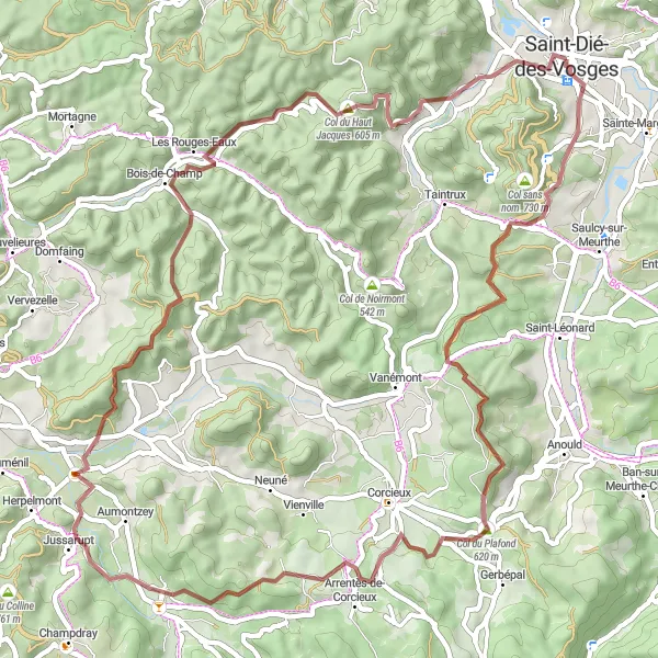
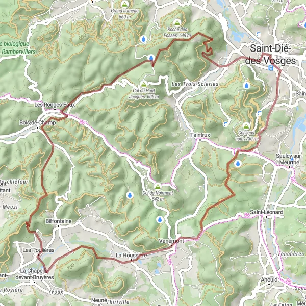
Uncover the hidden gems of the Vosges mountains on this gravel cycling route. With a distance of 50km and an ascent of 1050m, this route takes you through Col sans nom, La Houssière, Roche de la Clochette, Les Rouges-Eaux, Col du Haut Jacques, Roches du Bihay, and finally back to Saint-Dié-des-Vosges.
The Gravel Adventure
Embark on an exciting gravel adventure around Saint-Dié-des-Vosges
Experience the rugged beauty of the Vosges region as you ride along this gravel route. With 572 meters of ascent, this 45-kilometer circuit will challenge your skills and reward you with stunning views of the surrounding landscape.
Embark on a scenic adventure through mountains and forests
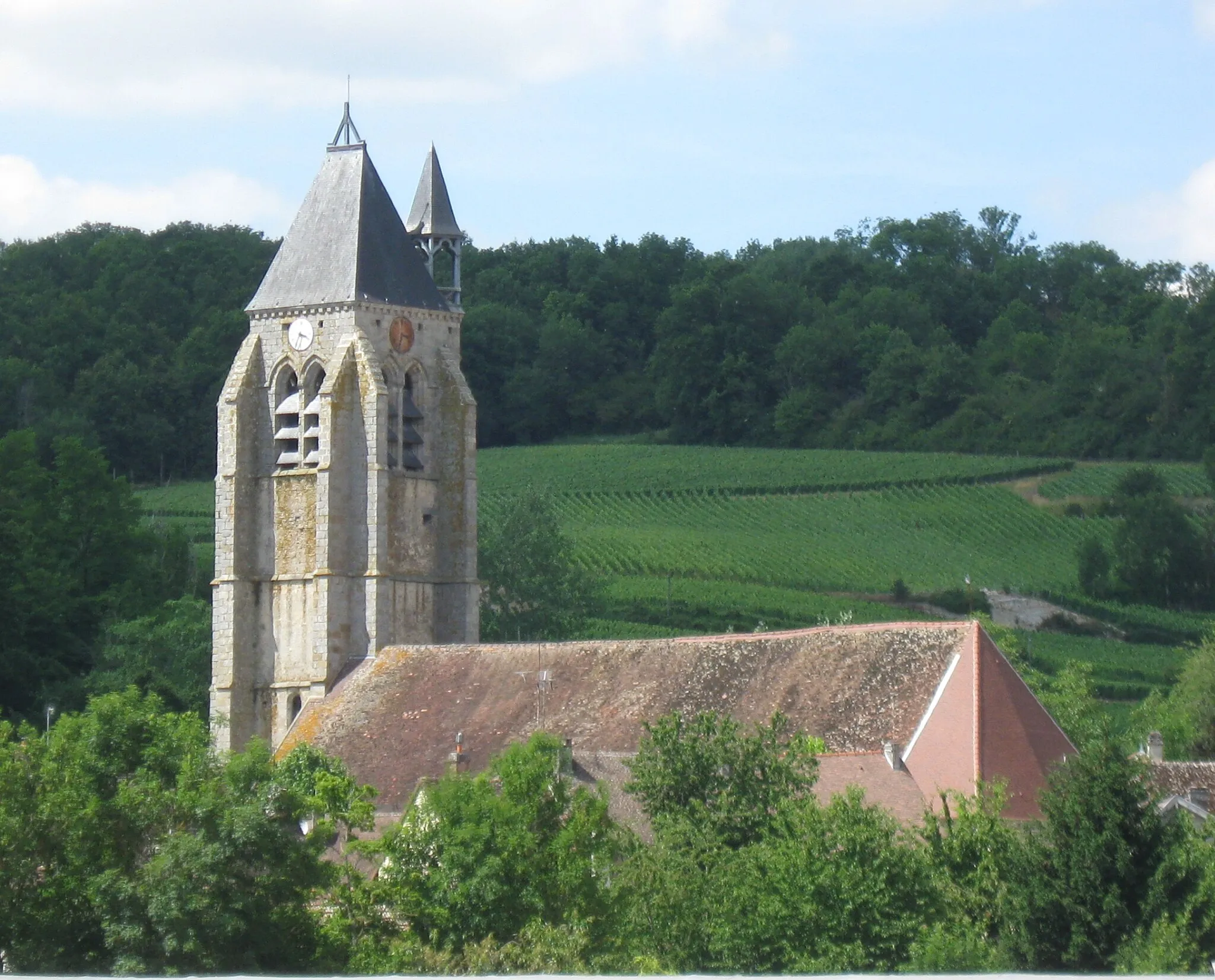
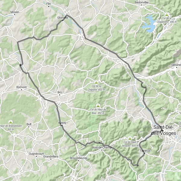
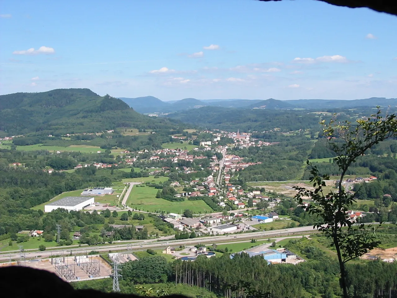
Cycle through breathtaking landscapes of mountains and forests on this 96-kilometer road route. With an ascent of 878 meters, this route offers a perfect combination of scenic beauty and mild challenge for cycling enthusiasts. Starting in Saint-Dié-des-Vosges, you will pedal through beautiful villages and natural wonders. The highlights of this route include Taintrux, a charming mountain village, and Col de Noirmont, which offers stunning panoramic views. As you continue, you will pass through diverse landscapes such as Bois-de-Champ and Thiaville-sur-Meurthe, offering varied experiences along the way. Saint-Dié-des-Vosges is not only the starting point but also a highlight itself, featuring picturesque architecture and cultural events. Explore the region's natural beauty and enjoy the peacefulness of the forests while navigating this captivating cycling route.
Gravel Adventure in Vosges
Venture through the gravel roads of Vosges on this thrilling cycling route
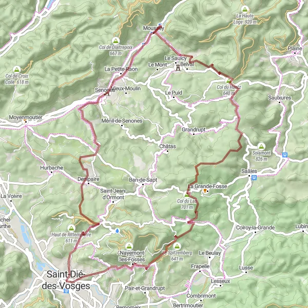
Get ready for an adventurous ride off the beaten path with this gravel cycling route. Covering a distance of 59 kilometers and an ascent of 1305 meters, this route takes you through some of the most scenic and challenging gravel roads in the region. Starting near Saint-Dié-des-Vosges, prepare for a jolt of adrenaline as you navigate the rugged terrain. Highlights of this route include Col de la Crénée, a challenging climb with rewarding views, and Col du Hantz, known for its technical descent. Nayemont-les-Fosses is another highlight, offering a glimpse of idyllic countryside beauty. With its mix of gravel roads and natural landscapes, this route offers a unique and exhilarating experience for gravel enthusiasts. Gear up and embark on a thrilling adventure in the heart of Vosges.
Montains and Valleys of Vosges
Ride through the scenic mountains and valleys of Vosges
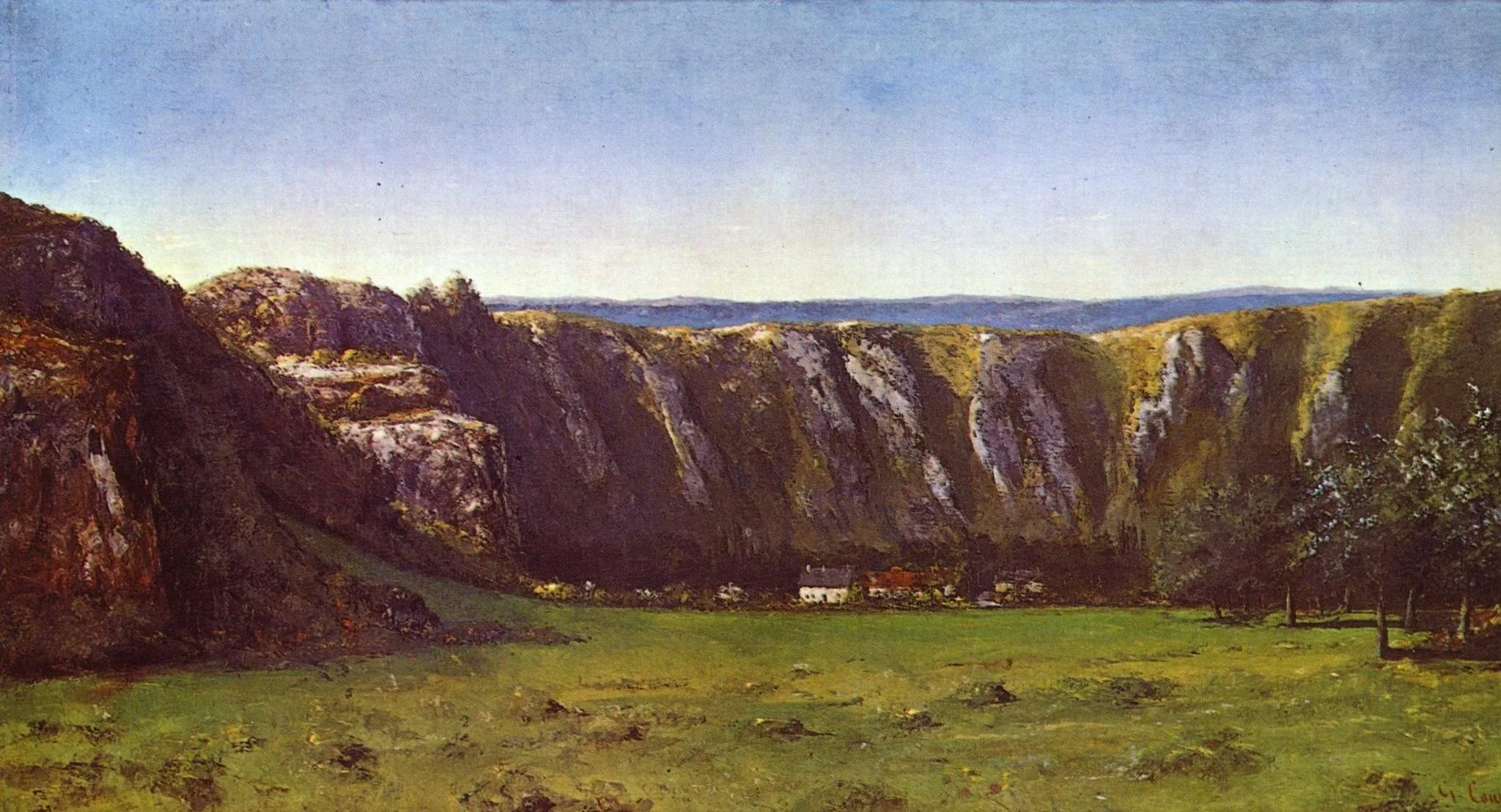
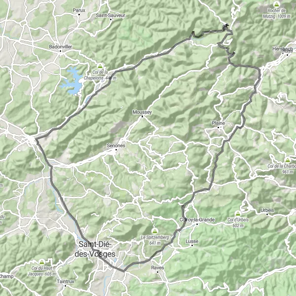
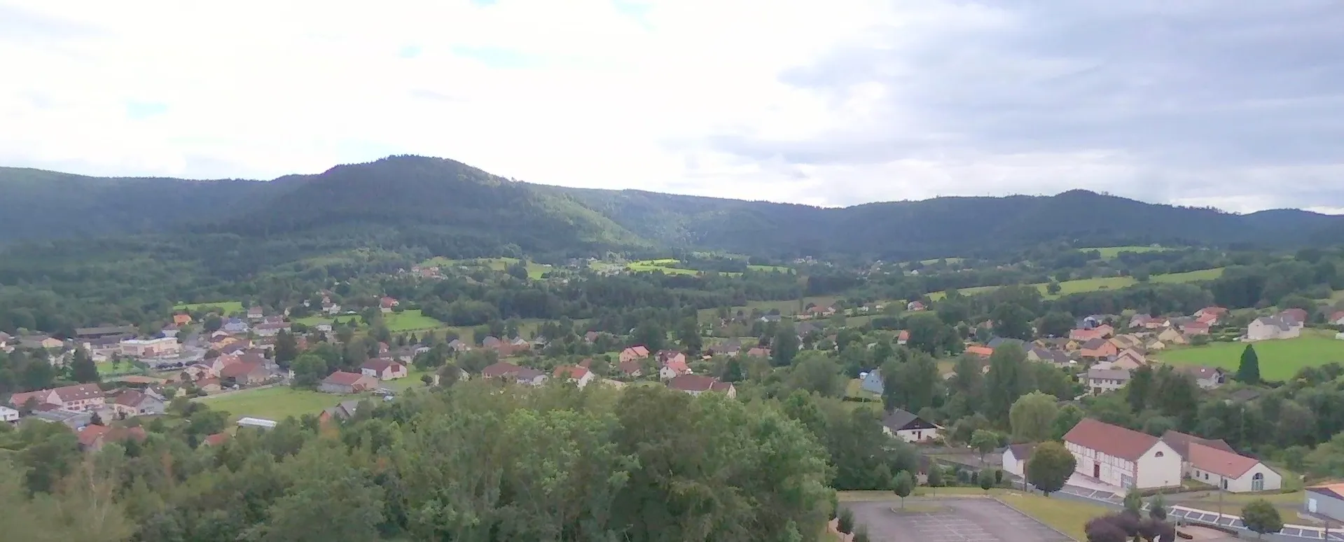
Experience the beauty of Vosges on this challenging cycling route. With a total ascent of 1130 meters and a distance of 99 kilometers, this road route takes you through picturesque villages and stunning natural landscapes. The undulating terrain provides a good mix of climbs and descents, offering a great workout for well-trained amateurs. The route starts in Saint-Dié-des-Vosges and passes through highlights such as La Pierre d'Appel, Allarmont, Raon-lès-Leau, Donon, La Broque, and Col de Saâles. These locations not only provide great photo opportunities, but also offer interesting historical and cultural insights. Overall, this route offers a challenging and rewarding cycling experience in the beautiful region of Vosges.
Embark on a thrilling mountain adventure through the Vosges mountains.
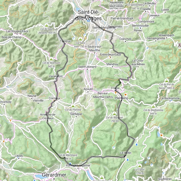
Get ready for a mountain adventure in the Vosges mountains with this road cycling route. Spanning 74km with an ascent of 1133m, this route takes you through Remomeix, Col de Mandray, Le Valtin, Col du Surceneux, Arrentès-de-Corcieux, Taintrux, Roche de froide Fontaine, before returning to Saint-Dié-des-Vosges.
Through the Vosges to Saint-Dié
Discover the breathtaking landscapes of the Vosges mountains on this road cycling route.
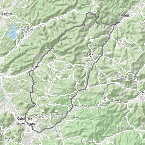
This route takes you through the stunning Vosges mountains, offering breathtaking views of the surrounding landscapes. The road cycling route spans a distance of 90km with an ascent of 1285m. It starts in Saint-Dié-des-Vosges and takes you through Senones, Col du Donon, Xurpon, and Fouday before finally returning to Saint-Dié-des-Vosges.
Embark on an epic mountainous adventure in Lorraine
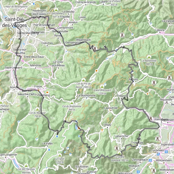
Prepare for a challenging and adventurous ride through the mountains of Lorraine. This road cycling route covers a total distance of 120 kilometers with an ascent of 2499 meters. The route starts in Saint-Dié-des-Vosges and takes you through some of the most scenic and challenging terrains in the region. Highlights of this route include Roche d'Ormont, a magnificent rocky formation offering breathtaking views, and Col de Sainte-Marie, which provides a thrilling uphill challenge. Other highlights along the way include Sainte-Marie-aux-Mines, Aubure, and Galtz, each with its own unique offerings. The total experience of this route is further enriched by its historical significance, as it passes through locations of strategic importance during World War I. Get ready for an unforgettable adventure filled with awe-inspiring landscapes and test your limits with this epic mountainous journey.
Cycling routes nearby:
Nearby regions: