Mountain Adventure in the Vosges
A road cycling route starting from Saint-Die-des-Vosges
Embark on a thrilling mountain adventure through the Vosges mountains.
Map
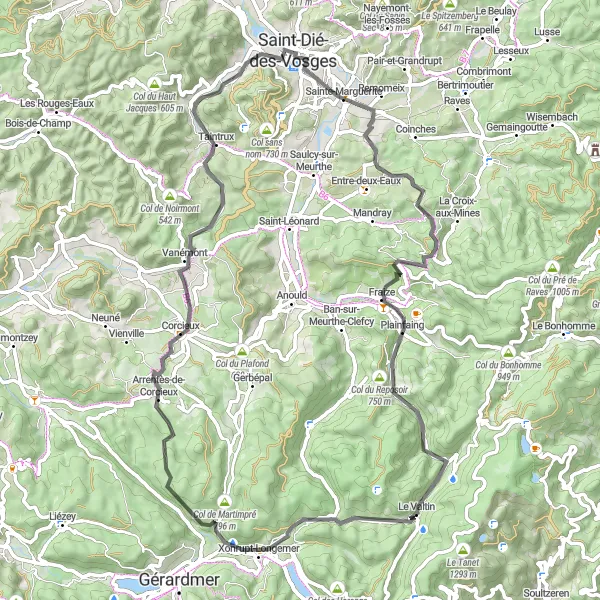
Get ready for a mountain adventure in the Vosges mountains with this road cycling route. Spanning 74km with an ascent of 1133m, this route takes you through Remomeix, Col de Mandray, Le Valtin, Col du Surceneux, Arrentès-de-Corcieux, Taintrux, Roche de froide Fontaine, before returning to Saint-Dié-des-Vosges.
road
74 km
1133 m
Tough
Route profile
Highlights on the route
0 km
0 km
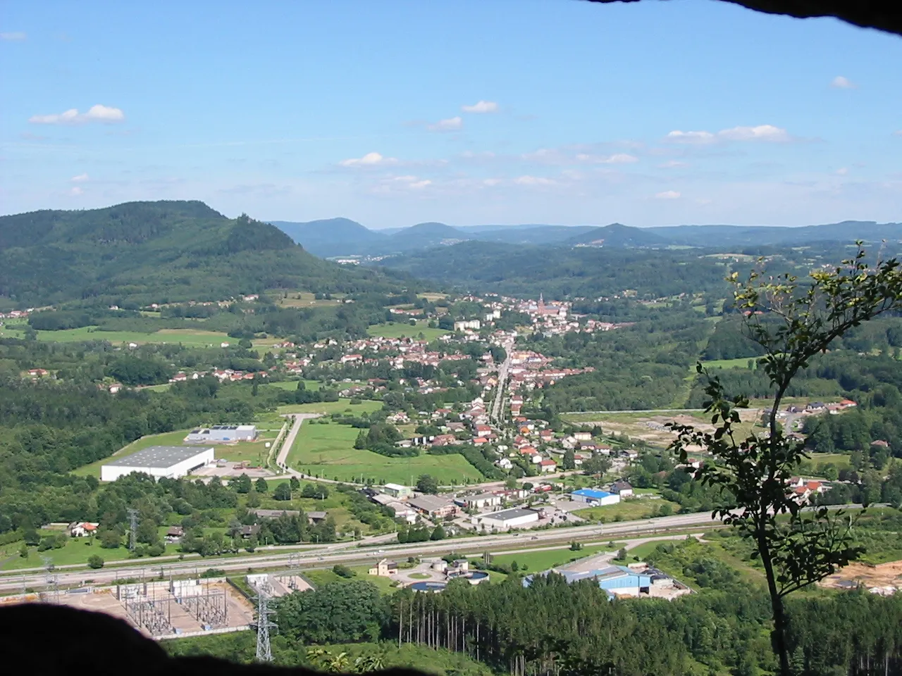
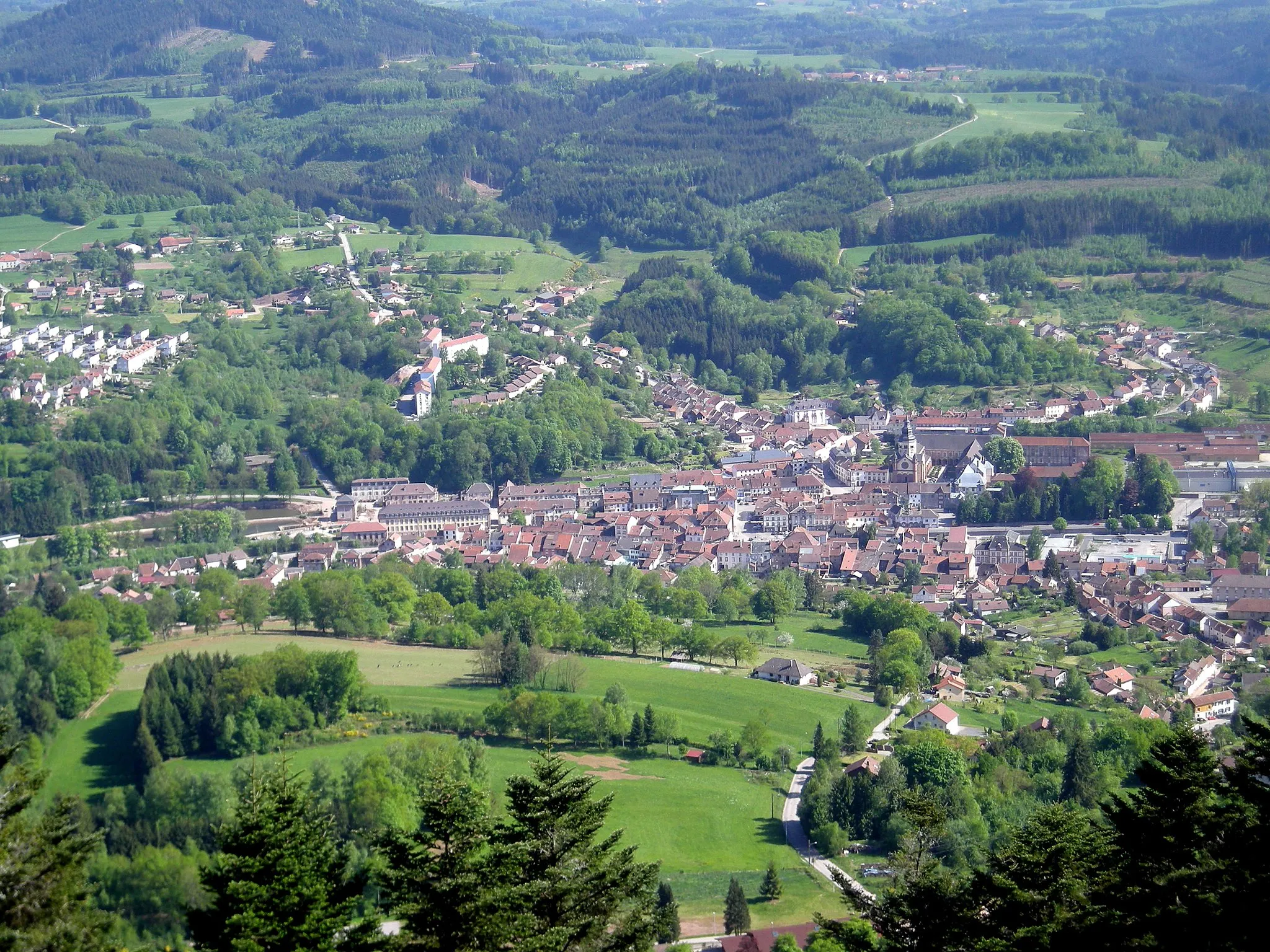
Start: Saint-Dié-des-Vosges City centerSaint-Dié-des-Vosges: Unforgettable cycling in the heart of the Vosges Mountains.
Saint-Dié-des-Vosges, located in Lorraine, France, offers excellent cycling opportunities for both road and gravel cyclists. The locality is surrounded by the Vosges Mountains, providing numerous challenging climbs and stunning mountain views. Cyclists can tackle routes that pass by well-known climbs such as Col de la Schlucht and Col du Bonhomme. Saint-Dié-des-Vosges also hosts various cycling events throughout the year, attracting both amateur and professional cyclists. With its beautiful scenery and cycling infrastructure, Saint-Dié-des-Vosges is a great destination for cyclists, and it ranks 4 as a cycling-friendly area.5 km
5 km
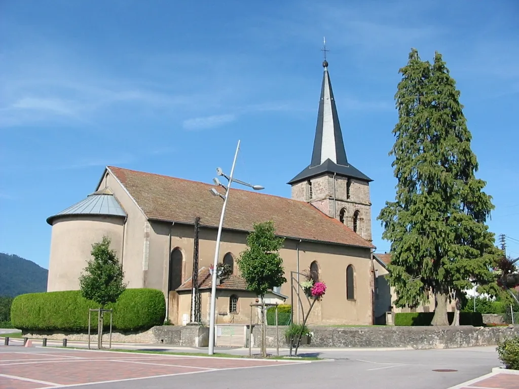
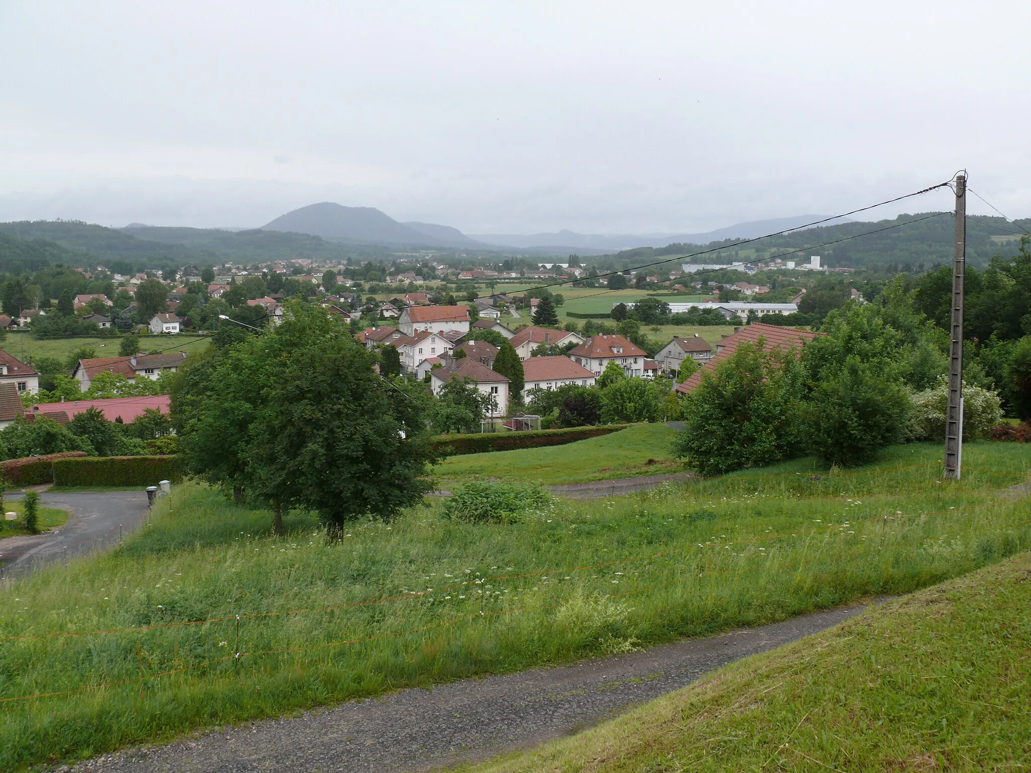
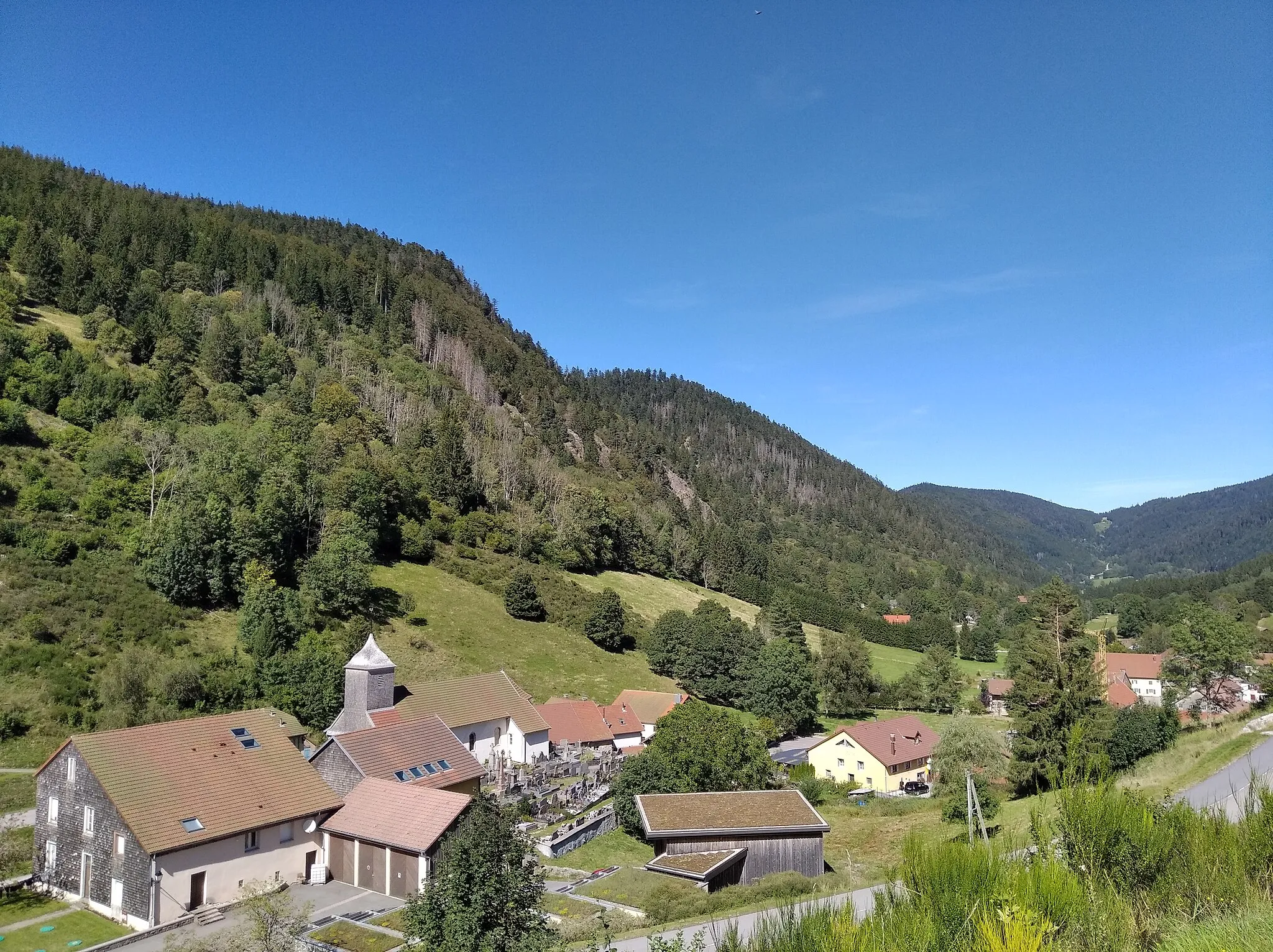
RemomeixVillageExplore the tranquil village of Remomeix and its peaceful surroundings.
16 km
16 km
Col de Mandray707 mMountain PassChallenge yourself with the climb to Col de Mandray and enjoy the stunning views at the top.
31 km
31 km
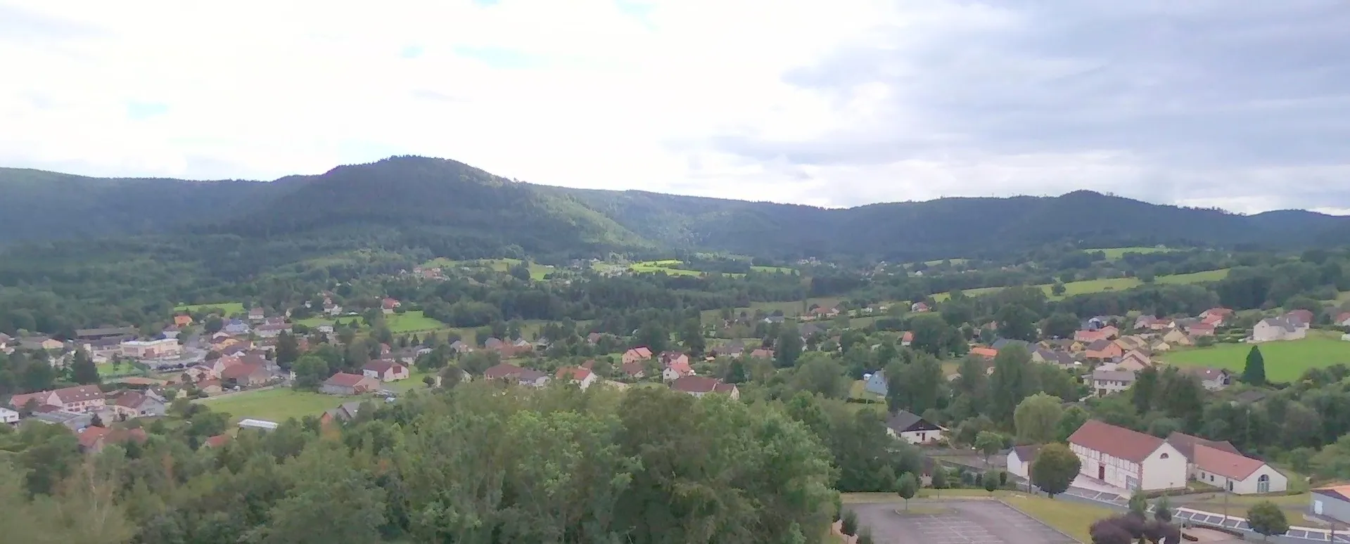
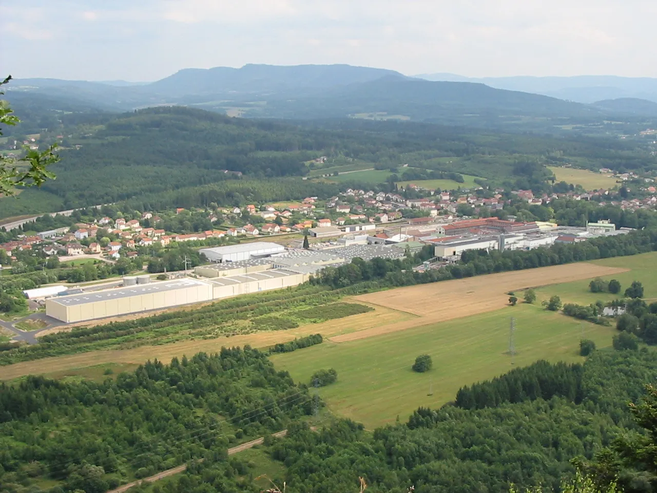
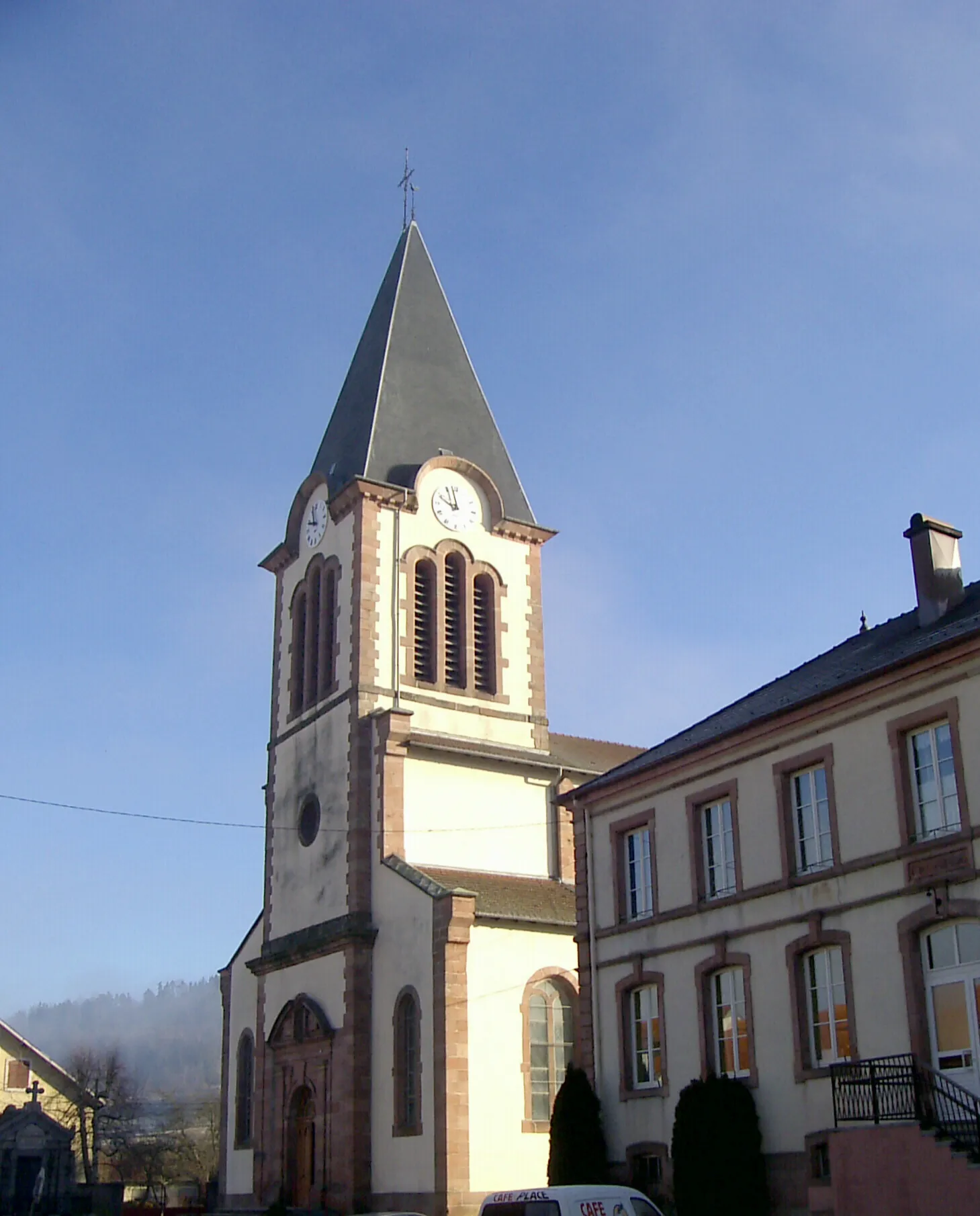
Le ValtinVillageDiscover the beauty of Le Valtin and its charming mountain setting.
37 km
37 km
Col du Surceneux810 mMountain PassConquer the challenging Col du Surceneux and revel in the sense of accomplishment.
51 km
51 km
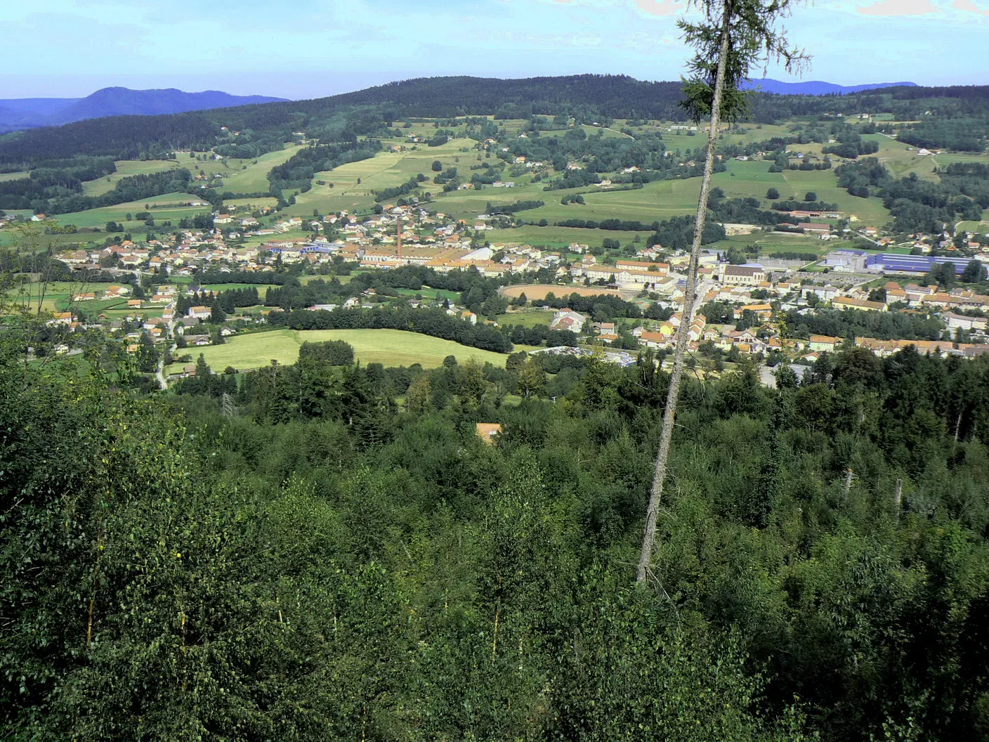
Arrentès-de-CorcieuxVillageVisit the picturesque village of Arrentès-de-Corcieux and immerse yourself in its natural beauty.
66 km
66 km
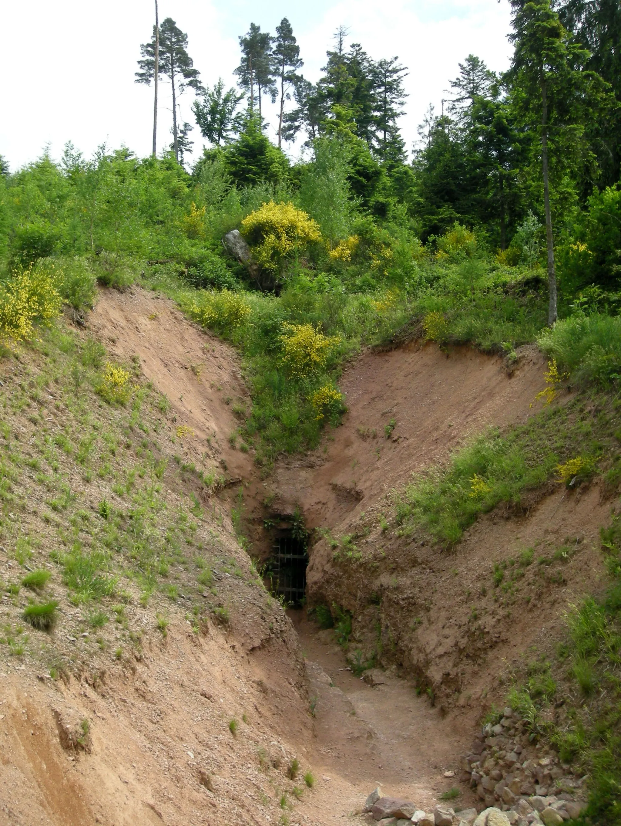
TaintruxVillageAdmire the stunning limestone formation of Roche de froide Fontaine.
67 km
67 km
Roche de froide Fontaine550 mPeakMarvel at the impressive rock formation of Roche de froide Fontaine.
74 km
74 km
Saint-Dié-des-VosgesTownReturn to the starting point and explore the beautiful town of Saint-Dié-des-Vosges.
74 km
74 km
Finish: Saint-Dié-des-Vosges City centerSaint-Dié-des-Vosges: Unforgettable cycling in the heart of the Vosges Mountains.
Cycling routes from Saint-Die-des-Vosges:
The Mountainous Adventure Gravel Journey with Panoramic Views Exploring the Gravel Roads of Vosges Exploring Mountains and Forests Discovering the Charm of Vosges on Gravel Mountain Adventure in the Vosges Through the Vosges to Saint-Dié Gravel Adventure in Vosges Montains and Valleys of Vosges Gravel Adventure in the Vosges The Gravel Adventure
Cycling routes nearby: