Through the Vosges to Saint-Dié
A road cycling route starting from Saint-Die-des-Vosges
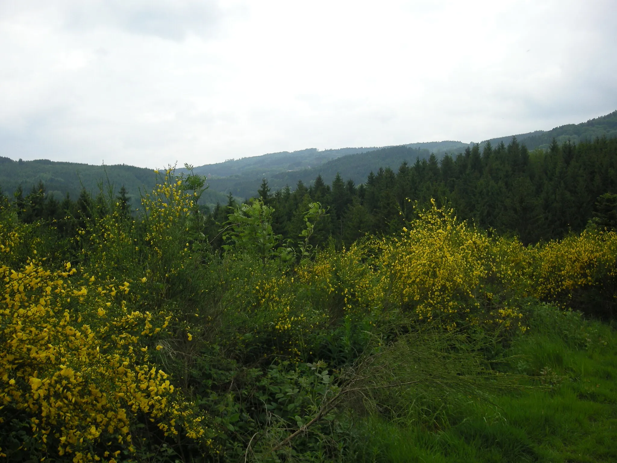
Discover the breathtaking landscapes of the Vosges mountains on this road cycling route.
Map
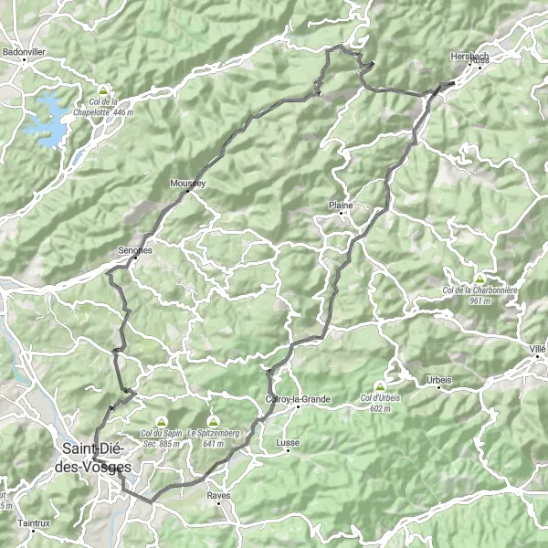
This route takes you through the stunning Vosges mountains, offering breathtaking views of the surrounding landscapes. The road cycling route spans a distance of 90km with an ascent of 1285m. It starts in Saint-Dié-des-Vosges and takes you through Senones, Col du Donon, Xurpon, and Fouday before finally returning to Saint-Dié-des-Vosges.
road
90 km
1285 m
Tough
Route profile
Highlights on the route
0 km
0 km
Start: Saint-Dié-des-Vosges City centerSaint-Dié-des-Vosges: Unforgettable cycling in the heart of the Vosges Mountains.
Saint-Dié-des-Vosges, located in Lorraine, France, offers excellent cycling opportunities for both road and gravel cyclists. The locality is surrounded by the Vosges Mountains, providing numerous challenging climbs and stunning mountain views. Cyclists can tackle routes that pass by well-known climbs such as Col de la Schlucht and Col du Bonhomme. Saint-Dié-des-Vosges also hosts various cycling events throughout the year, attracting both amateur and professional cyclists. With its beautiful scenery and cycling infrastructure, Saint-Dié-des-Vosges is a great destination for cyclists, and it ranks 4 as a cycling-friendly area.0 km
0 km
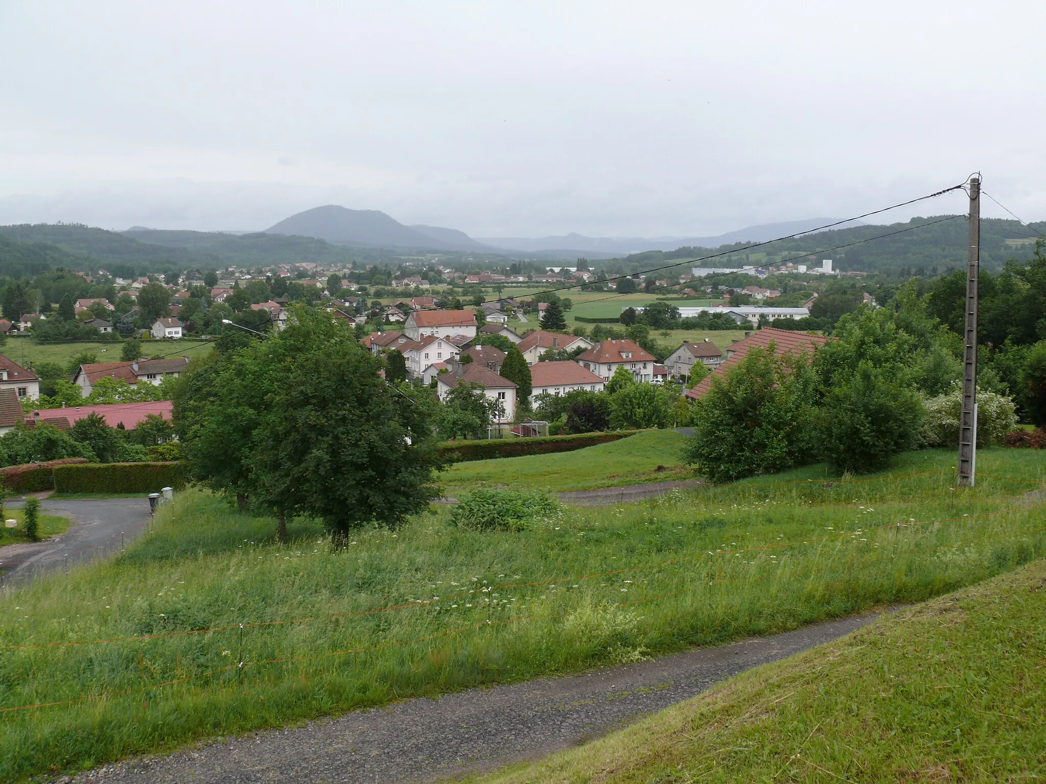
Saint-Dié-des-VosgesTownDiscover the charming town of Saint-Dié-des-Vosges and its rich history.
2 km
2 km
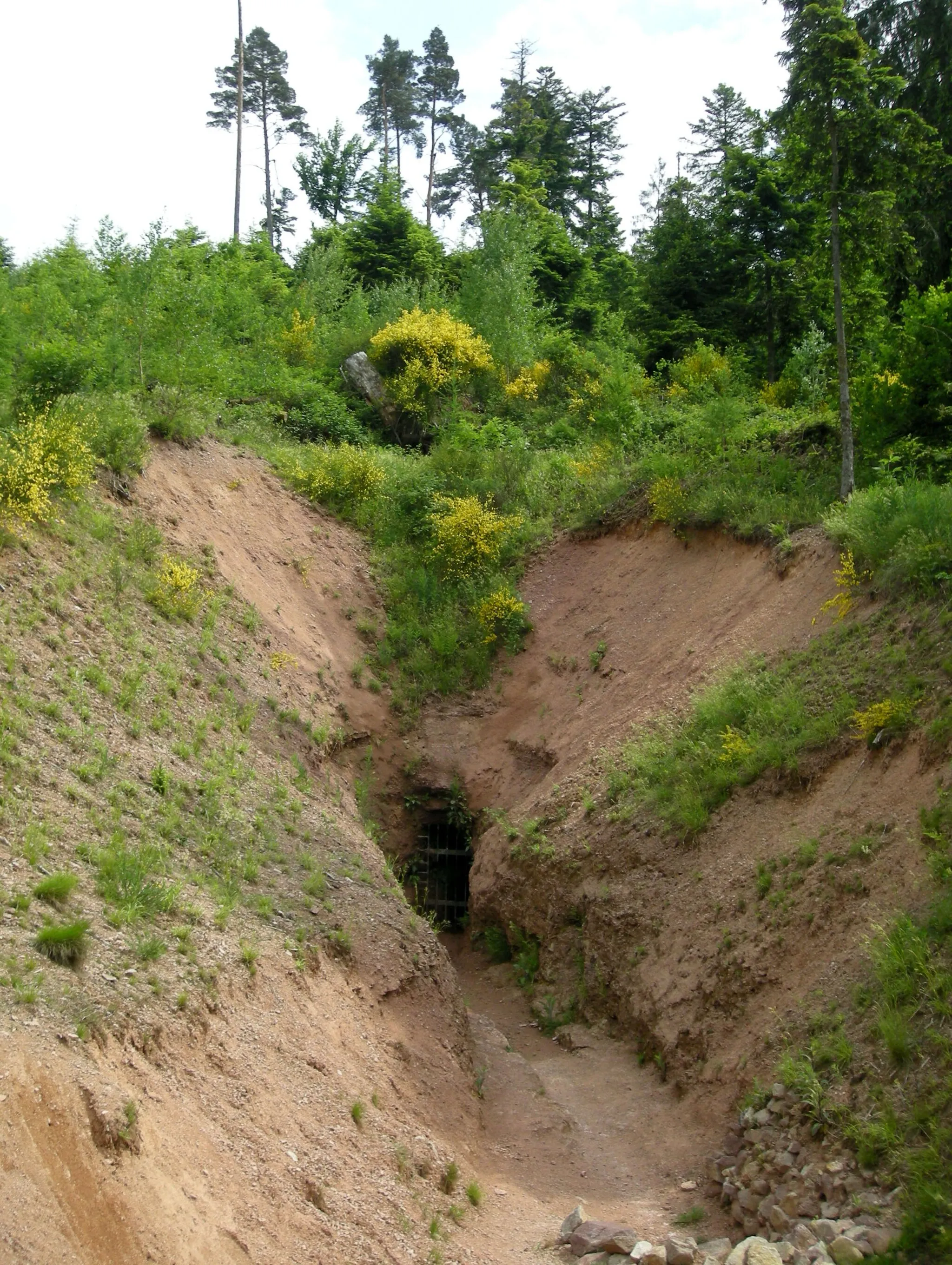
Tête de Saint-Roch469 mPeakAdmire the panoramic views from the Tête de Saint-Roch.
17 km
17 km
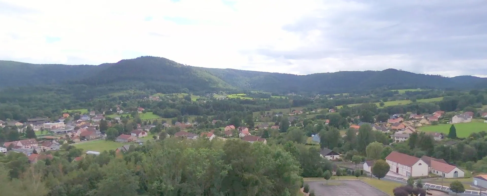
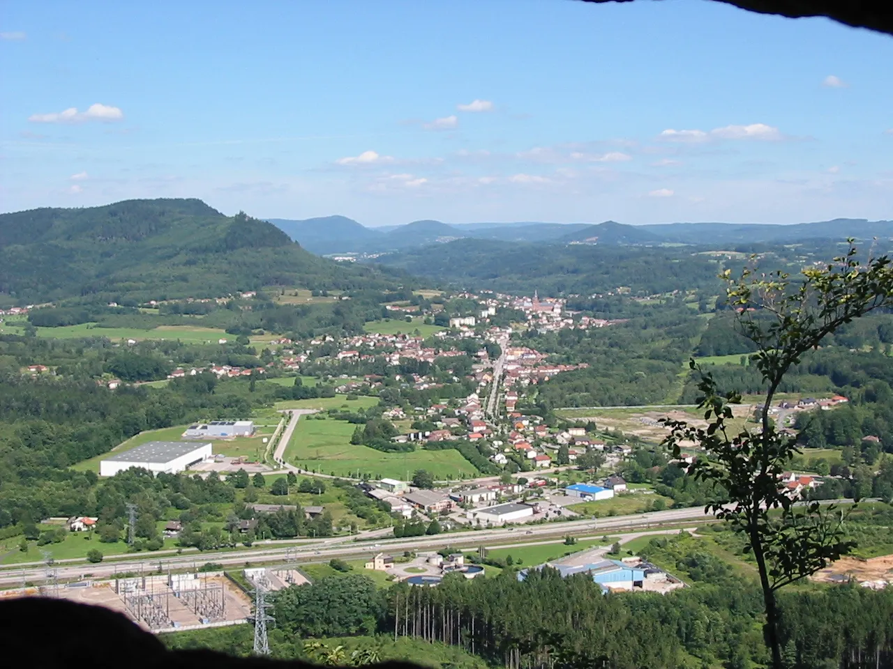
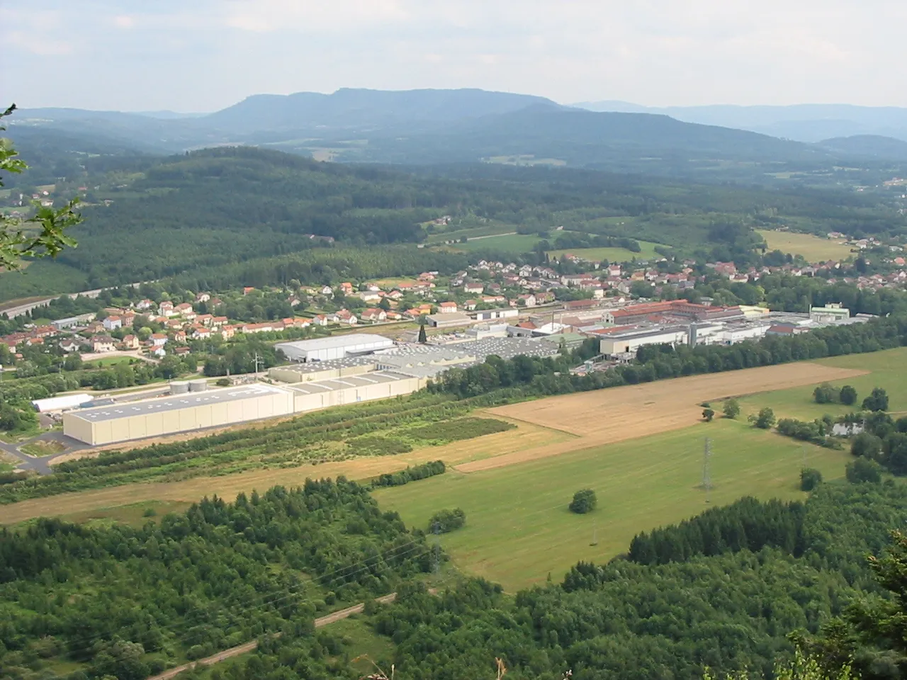
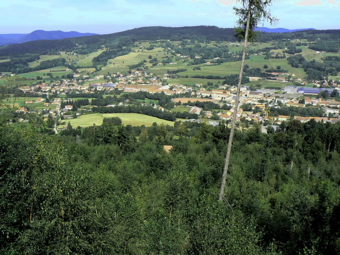
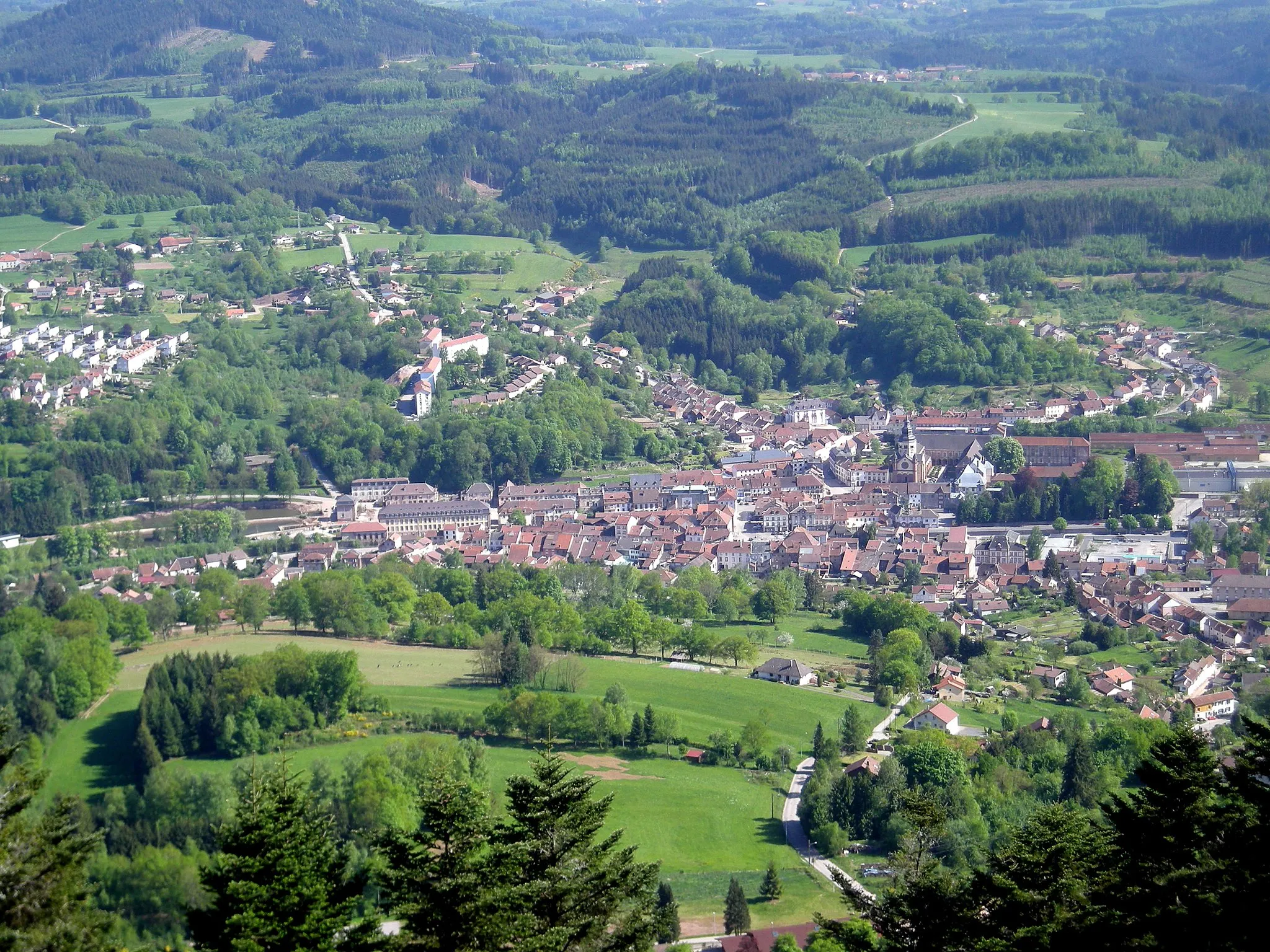
SenonesVillageExplore the picturesque town of Senones with its historic buildings.
38 km
38 km
Col du Donon727 mMountain PassChallenge yourself with the ascent of Col du Donon, a popular climb in the Vosges.
53 km
53 km
Xurpon429 mPeakEnjoy the peaceful surroundings of Xurpon with its lush greenery.
58 km
58 km
FoudayVillagePass through the charming village of Fouday and admire its traditional architecture.
70 km
70 km
Col de Saâles556 mMountain PassConquer the challenging Col de Saâles and enjoy the stunning views at the top.
77 km
77 km
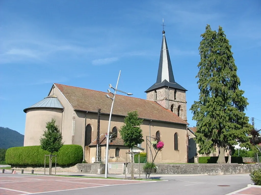
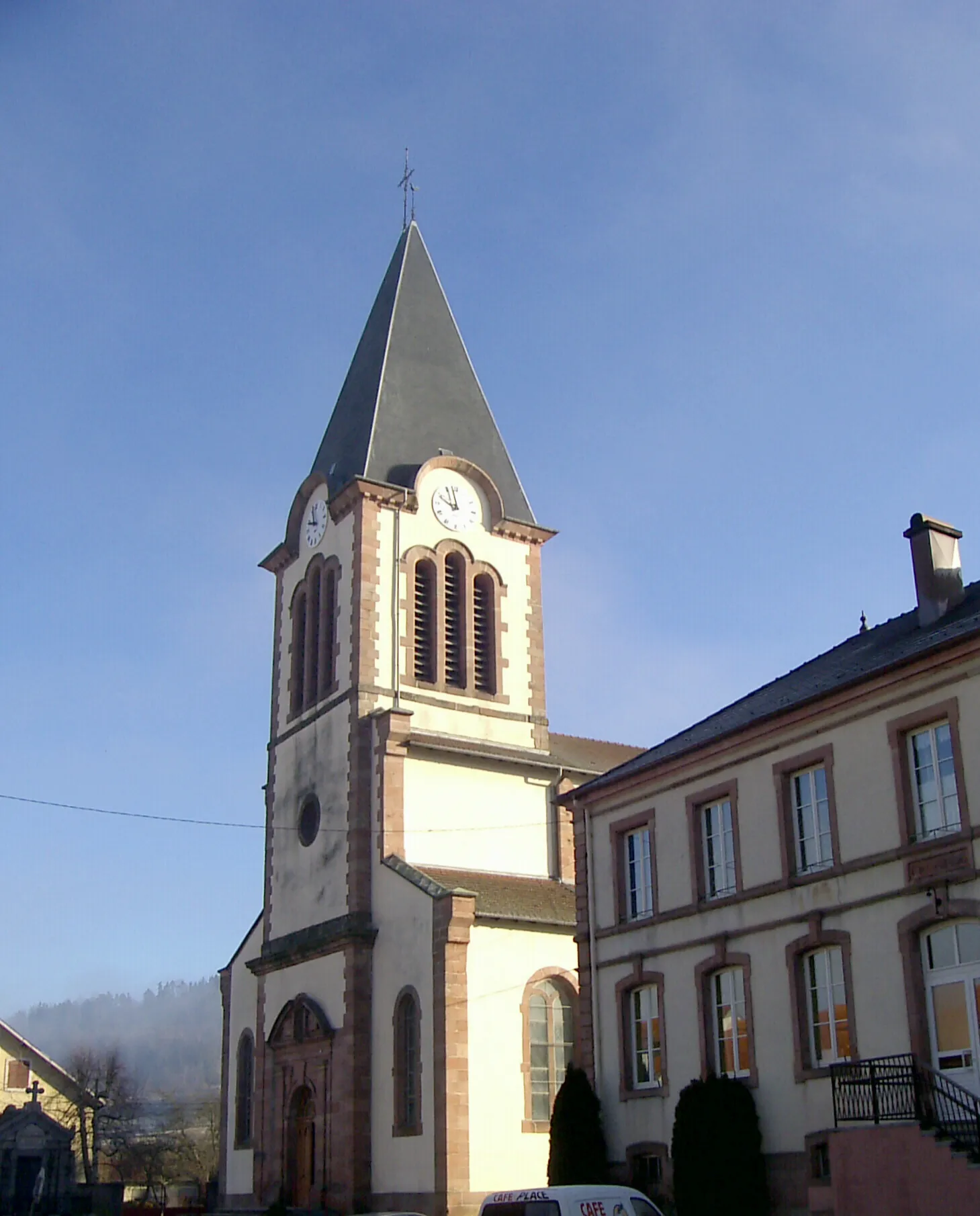
Le BeulayVillageVisit the beautiful village of Le Beulay and its charming church.
86 km
86 km
Sainte-MargueriteVillageExperience the tranquility of Sainte-Marguerite and its serene surroundings.
90 km
90 km
Finish: Saint-Dié-des-Vosges City centerSaint-Dié-des-Vosges: Unforgettable cycling in the heart of the Vosges Mountains.
Cycling routes from Saint-Die-des-Vosges:
The Mountainous Adventure Gravel Journey with Panoramic Views Exploring the Gravel Roads of Vosges Exploring Mountains and Forests Discovering the Charm of Vosges on Gravel Mountain Adventure in the Vosges Through the Vosges to Saint-Dié Gravel Adventure in Vosges Montains and Valleys of Vosges Gravel Adventure in the Vosges The Gravel Adventure
Cycling routes nearby: