Lorraine Gravel Adventure
A gravel cycling route starting from Ottange
A challenging gravel route through the scenic landscapes of Lorraine
Map
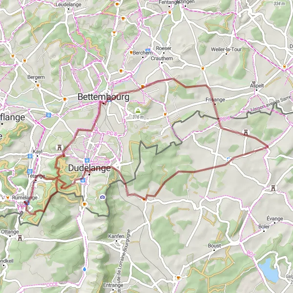
The Lorraine Gravel Adventure is a 46-kilometer route suitable for gravel bikes. With a total ascent of 551 meters, it takes riders through the picturesque towns of Dudelange, Roudebierg, Basse-Rentgen, Évrange, Bettembourg, and Mont Saint Jean. The route offers a mix of gravel roads, beautiful scenery, and quaint villages.
gravel
46 km
551 m
Tough
Route profile
Highlights on the route
0 km
0 km
Start: Rumelange Village centerOttange: Tranquil town with gentle terrain for leisurely rides.
Ottange is a locality situated in the Lorraine region of France. From a road cyclist's perspective, Ottange offers mostly flat terrain, making it suitable for easy and leisurely rides. The town itself has a peaceful atmosphere, surrounded by lovely fields and meadows. Cyclists can explore the scenic countryside, meandering through quiet roads and discovering charming nearby villages. While not renowned for cycling, Ottange provides a relaxing environment for riders seeking a tranquil and undemanding cycling experience.8 km
8 km
DudelangeTownDudelange is a historic town known for its steel industry and cultural heritage.
8 km
8 km
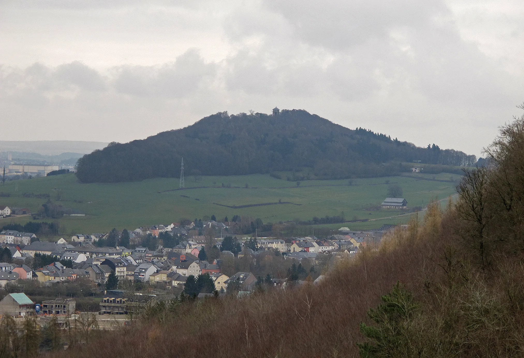
Roudebierg374 mPeakRoudebierg is a small village with charming rural landscapes and traditional farmhouses.
19 km
19 km
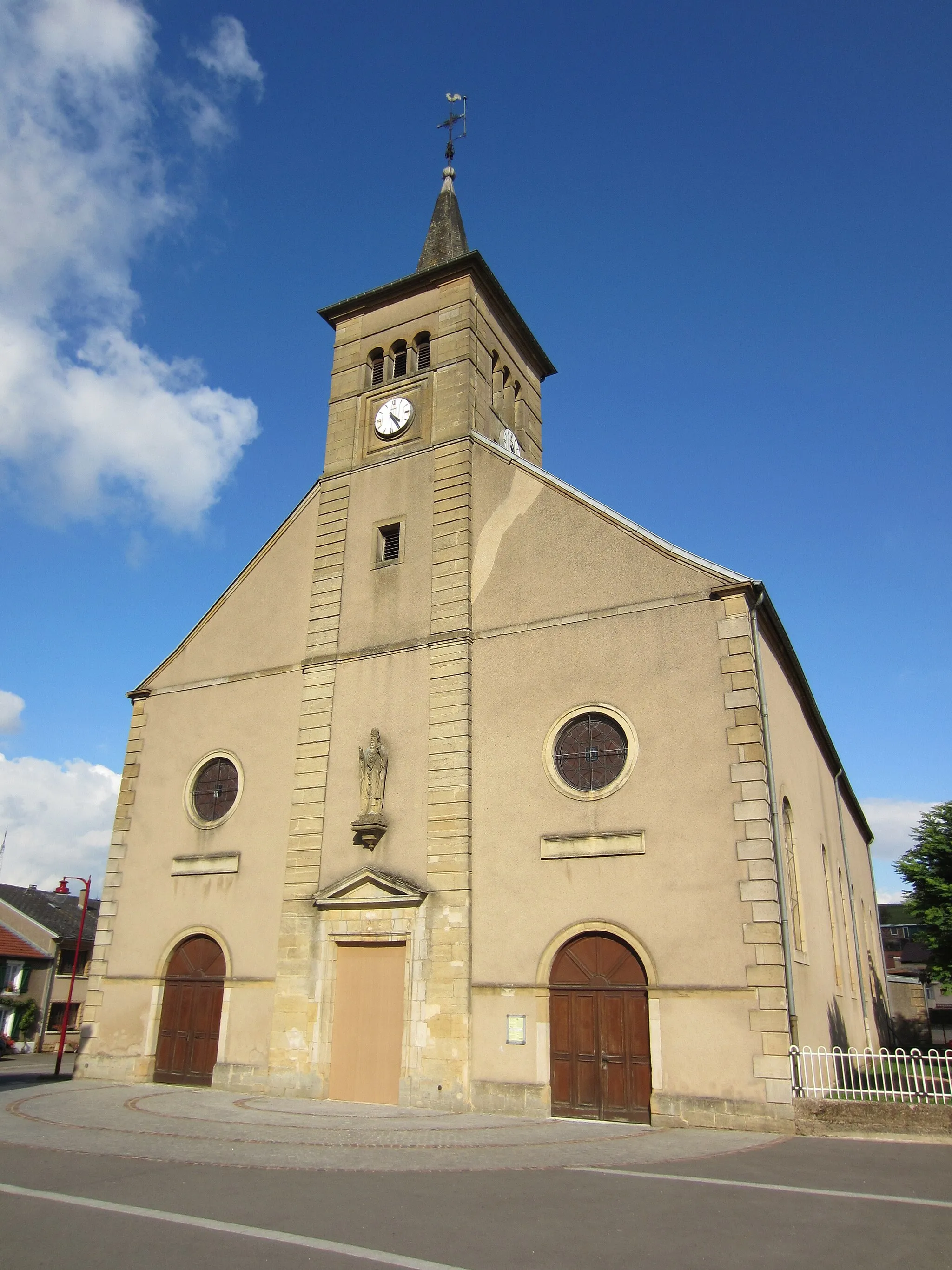
Basse-RentgenVillageBasse-Rentgen is famous for its well-preserved castle ruins and beautiful hiking trails.
25 km
25 km
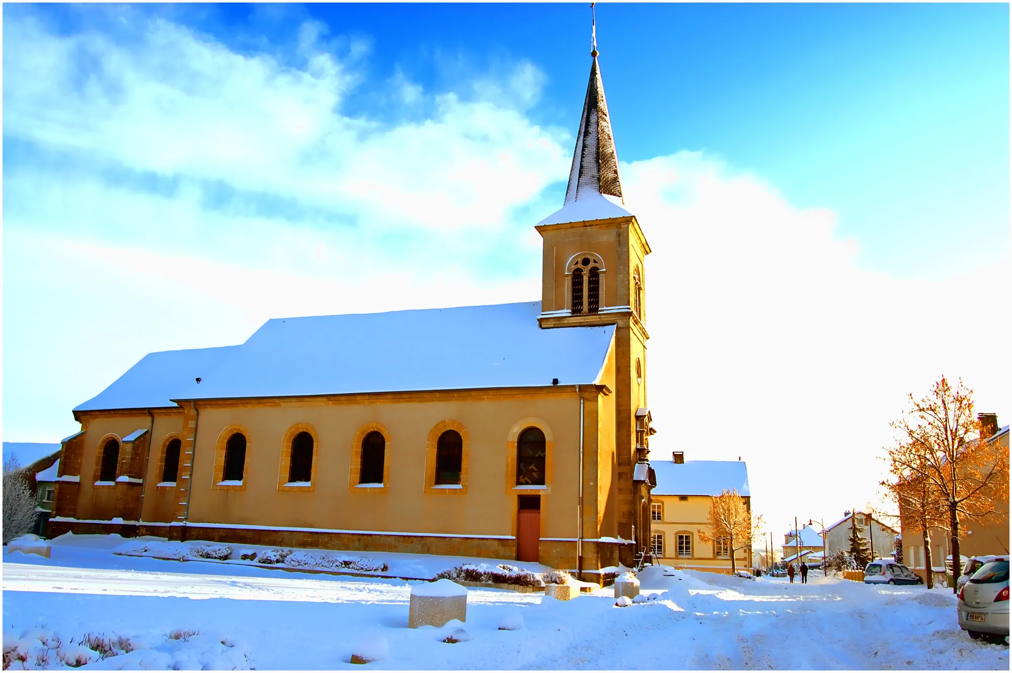
ÉvrangeVillageÉvrange is a charming village nestled in the Moselle Valley, offering stunning views of the surrounding vineyards.
35 km
35 km
BettembourgTownBettembourg is home to a medieval castle and a large park, perfect for a scenic stop during the ride.
39 km
39 km
Mont Saint Jean411 mPeakMont Saint Jean is a quiet village with rolling hills and panoramic views of the countryside.
46 km
46 km
Finish: Rumelange Village centerOttange: Tranquil town with gentle terrain for leisurely rides.
Cycling routes nearby: