Gravel Adventure
A gravel cycling route starting from Rambervillers
Discover the rugged beauty of the Vosges on this gravel adventure
Map
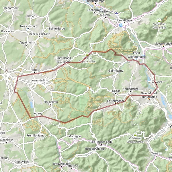
If you're looking for an off-road adventure, this gravel route is perfect for you. With an ascent of 642 meters and a distance of 50 kilometers, this route offers a mix of challenging climbs and scenic trails through the Vosges Mountains. From the rustic village of Brû to the stunning views at Col de la Chipotte, this route highlights the rugged beauty of the region. With its diverse terrain and stunning landscapes, this gravel adventure is a must-do for gravel enthusiasts.
gravel
50 km
642 m
Tough
Route profile
Highlights on the route
0 km
0 km
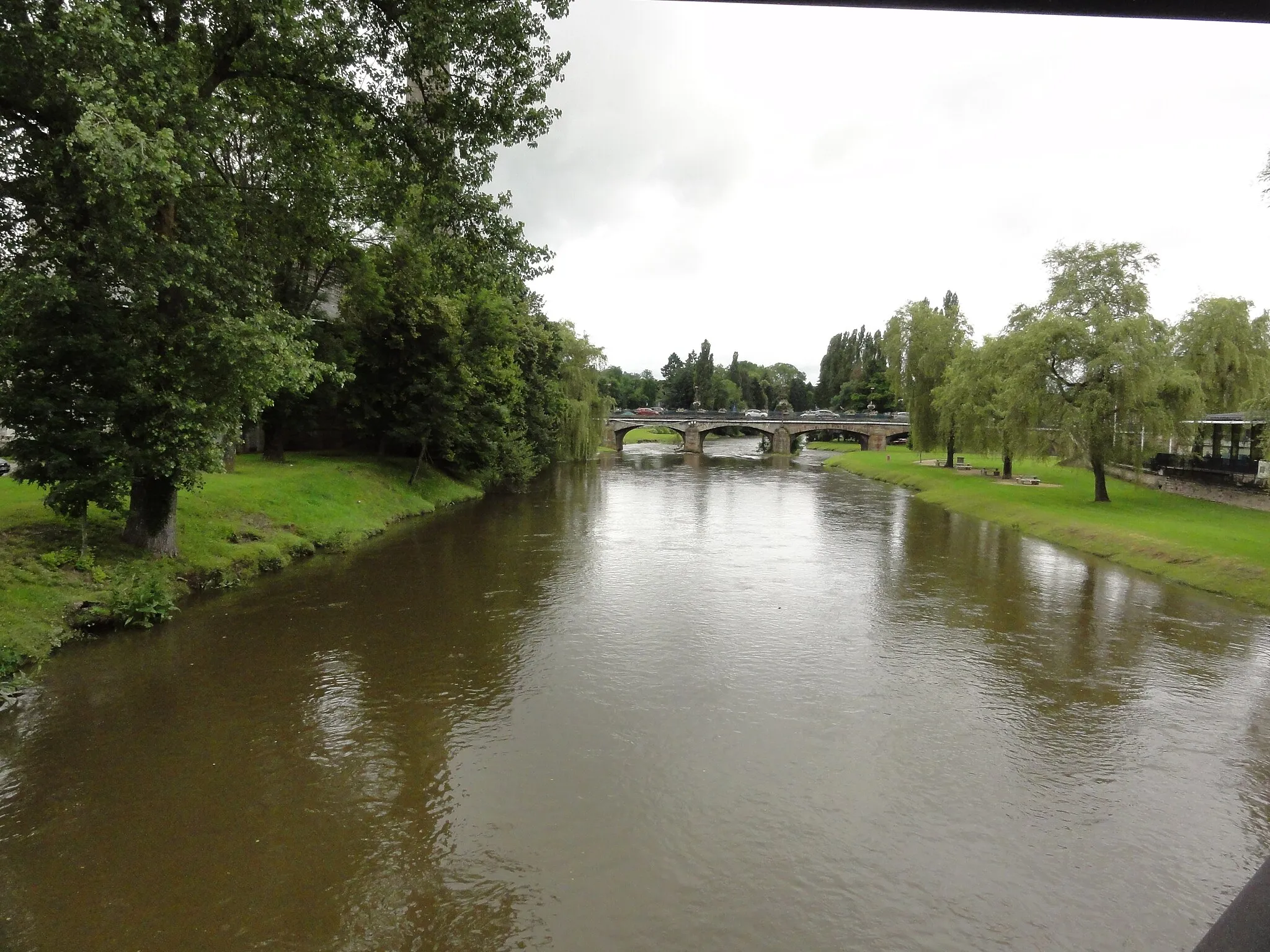
Start: Saint-Gorgon Village centerRambervillers: Exploring the tranquil countryside of Rambervillers by bike
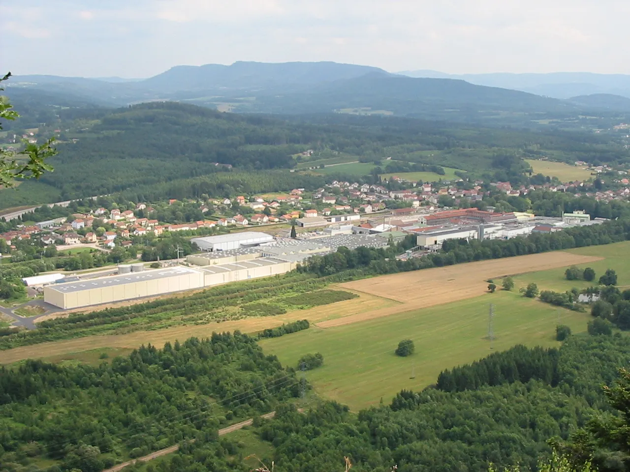
Rambervillers is a town located in the Lorraine region of France. From a cyclist's perspective, this locality provides a mix of flat and gentle rolling terrain, suitable for leisurely rides and beginner cyclists. The surrounding countryside is dotted with charming villages and historic sites, making it an enjoyable area to explore on two wheels. While there may not be any famous cycling climbs or cycling-specific landmarks in Rambervillers, the tranquil and picturesque environment make it an appealing destination for cyclists seeking a relaxed cycling experience.4 km
4 km
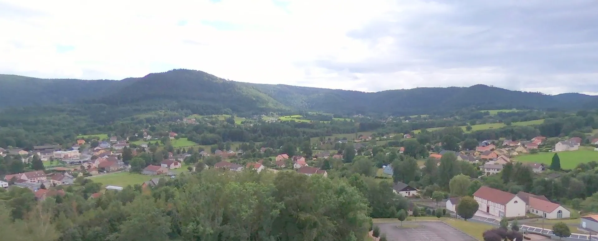
BrûVillageBrû is a small village known for its traditional houses and peaceful ambiance. Take a break here to enjoy the tranquil surroundings and take in the beauty of the Vosges Mountains.
12 km
12 km
Col de la Chipotte453 mMountain PassCol de la Chipotte is a challenging climb that offers stunning views of the surrounding mountains. This highlight is a favorite among gravel cyclists looking for a tough but rewarding ascent.
20 km
20 km
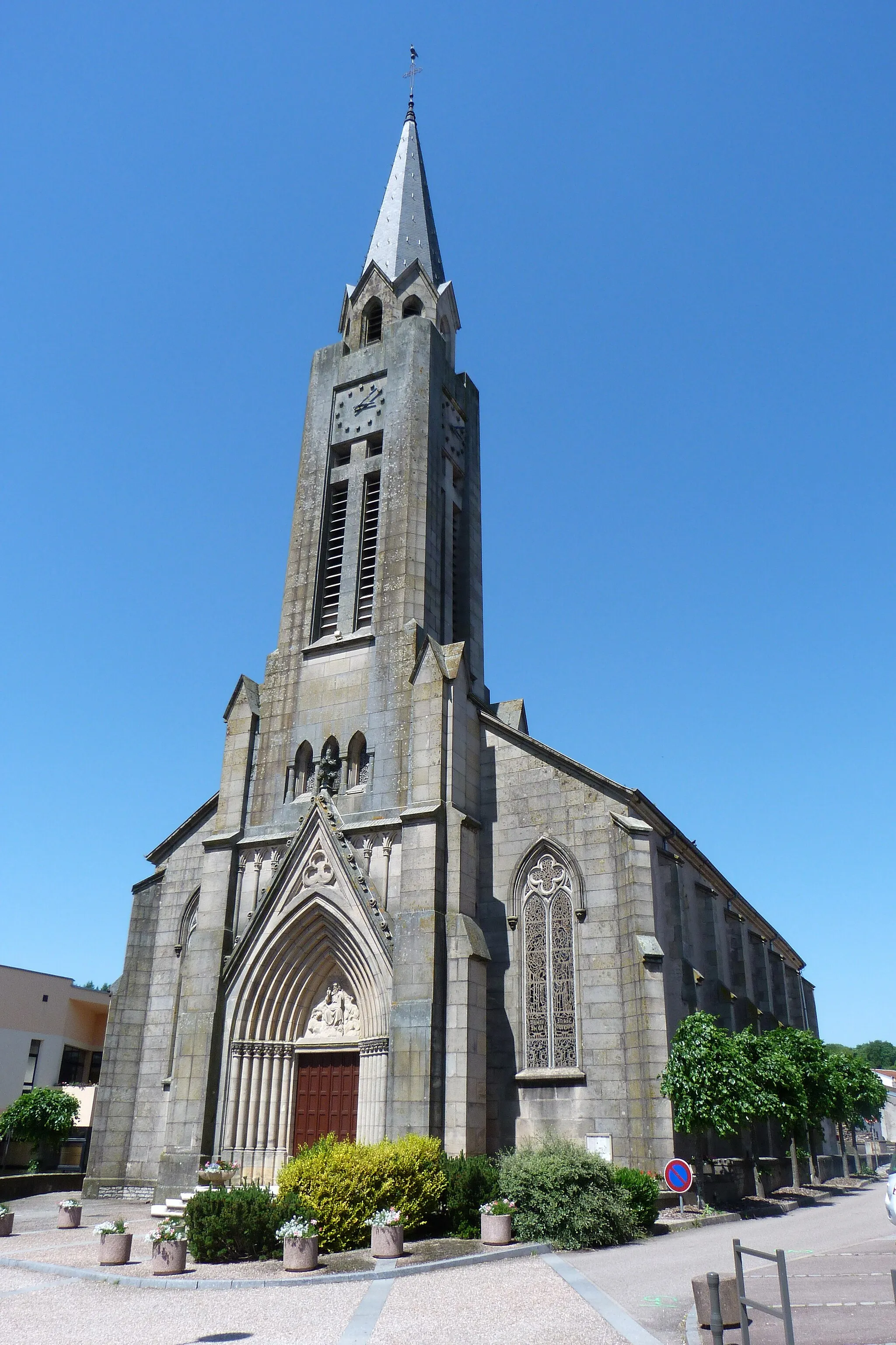
Étival-ClairefontaineVillageÉtival-Clairefontaine is a charming village with a rich cultural heritage. Take some time to explore the local history and enjoy the beautiful scenery that surrounds this highlight.
31 km
31 km
Petit jumeau521 mPeakPetit jumeau is a picturesque spot located along the route. With its stunning views and tranquil ambiance, this highlight is perfect for a moment of relaxation during your gravel adventure.
45 km
45 km
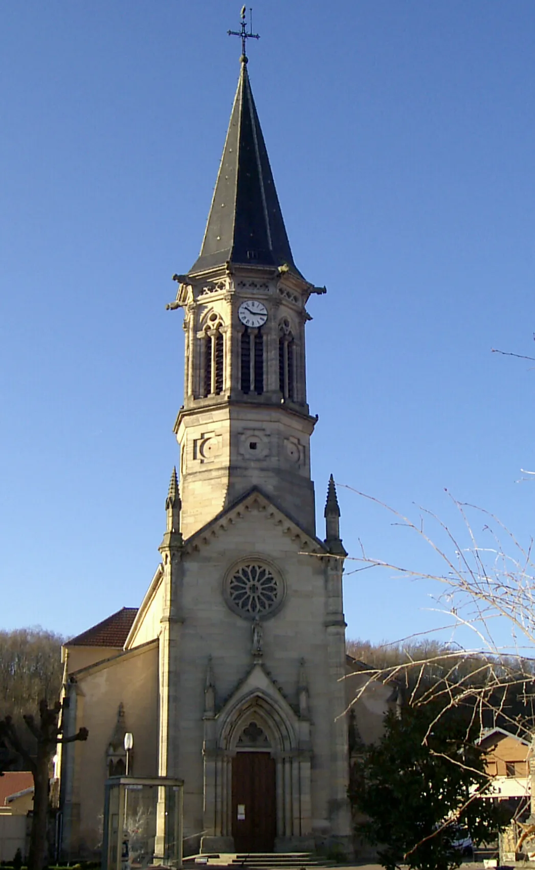
AutreyVillageAutrey is a small village with a rich agricultural tradition. Take a moment to visit the local farms and explore the natural beauty of this highlight.
50 km
50 km
Finish: Saint-Gorgon Village centerRambervillers: Exploring the tranquil countryside of Rambervillers by bike
Cycling routes from Rambervillers:
Off the Beaten Path Gravel Ride Gravel Adventure through Untamed Nature Ultimate Gravel Challenge with Panoramic Views Valleys and Peaks Vosges Mountain Challenge Gravel Adventure Scenic Gravel Escape Scenic Road Trip with Historical Delights Challenging Hills and Scenic Villages Charming Villages Rambervillers Circuit
Cycling routes nearby: